The best road cycling routes around San Dimas
4.3
(30)
2,418
riders
82
rides
Road cycling around San Dimas features a landscape characterized by rolling terrain and open spaces, often centered around the Puddingstone Reservoir. The region offers a mix of urban and natural environments, with routes traversing local roads and dedicated paths. Elevation changes are moderate, providing varied challenges for cyclists. The area provides numerous road bike loop trails San Dimas cyclists can explore.
Best road cycling routes around San Dimas
- The most popular road cycling route is Bonelli Trail, a 9.4…
Last updated: July 7, 2026
3.0
(1)
27
riders
15.2km
01:26
150m
150m
Easy road ride. Great for any fitness level. Mostly well-paved surfaces and easy to ride.
4.7
(6)
114
riders
37.6km
02:24
780m
780m
Moderate road ride. Good fitness required. Mostly well-paved surfaces and easy to ride.

Sign up for free
5.0
(1)
67
riders
26.4km
01:14
280m
280m
Easy road ride. Great for any fitness level. Mostly well-paved surfaces and easy to ride.
24
riders
Easy road ride. Great for any fitness level. Mostly well-paved surfaces and easy to ride.
20
riders
84.6km
04:43
1,520m
1,520m
Hard road ride. Very good fitness required. Mostly well-paved surfaces and easy to ride.
Get access to more routes and recommendations from other explorers.
Sign up for free
Already have an account?
Our route recommendations are based on thousands of hikes, rides, and runs completed by other people on komoot.
Start today with a free account
Your next adventure awaits.
Login or Signup


Tips from the Community

You can cycle across the top of the dam, which was constructed in 1928 to help control flooding in the region. It stands at 147 feet high, and today supports a myriad of outdoor recreation activities on the reservoir.
0
0

San Gabriel Reservoir is a good place to end your route across the mountains, with dramatic views and wide open space. The road curves above the reservoir, making it a great spot to catch your breath and take in the landscape. Early mornings are quieter and cooler—perfect for a break during a long climb.
0
0

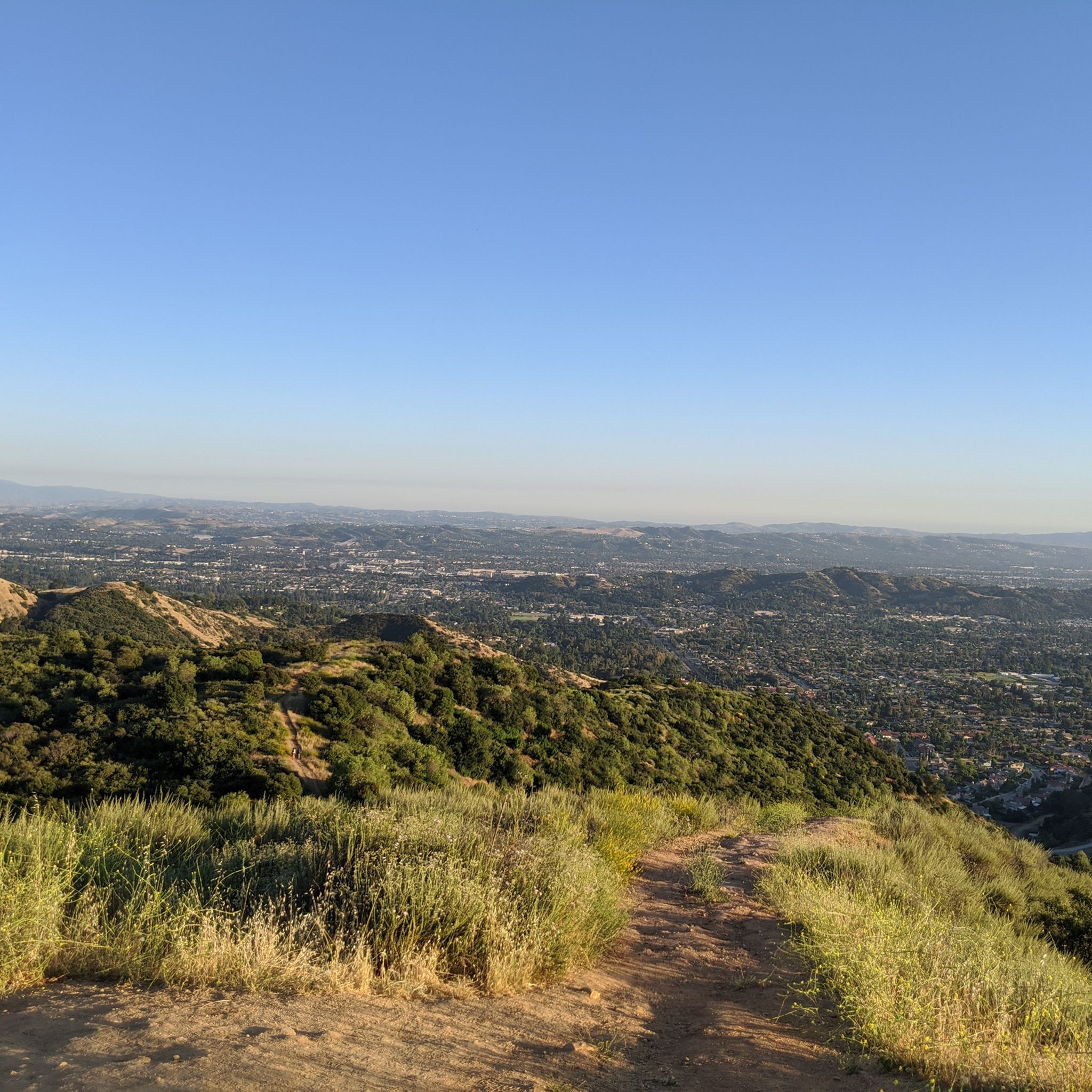
Great view of the Puddingstone Reservoir, a 250-acre man-made body of water. There is a road that runs along the perimeter of the reservoir and there is a spot to pull off the road to get a close up view of the water.
0
0

Hear a plane coming in for a landing? You're experiencing air traffic from Brackett Field Airport. This airport is over 100 years old; it was established in 1911 and is one of the oldest operating airports in the Los Angeles area. There are only two runways here, and this small airport is a hub for flight training schools, charter services, and recreational flying.
0
1
Puddingstone Reservoir is an artificial lake spanning 250 acres. In the past, it played a dual role, functioning not only as a flood control basin but also as a vital water source for local citrus growers. Today, the dam remains operational and is currently undergoing improvements. Today, visitors can enjoy various amenities at Puddingstone Reservoir, including boat rentals, campsites, a fish cleaning station, restrooms, showers, a snack bar, and a designated swimming area.
0
0

In addition to creating a beautiful natural environment that offers several spots with very good views in its surroundings, such as the Frank G. Bonelli Regional Park, you can cycle around the reservoir on several paved paths. In this reservoir, you can also enjoy many water activities.
1
0

Rubel Castle in Glendora, California, is a unique building that was built by Michael Clarke Rubel. Constructed with recycled materials, including stones from local quarries and discarded items, the castle showcases unique architecture.
0
0

Little Dalton Debris Basin is a small, man-made collecting pond in Big Dalton Canyon Wilderness Park. It is just off Big Dalton Canyon Road and Glendora Mountain road, which are both popular, challenging roads for biking.
0
0
Frequently Asked Questions
How many road cycling routes are available in San Dimas?
There are over 75 road cycling routes around San Dimas, offering a wide range of options for different skill levels and preferences. You'll find everything from easy, flat rides to more challenging routes with moderate elevation changes.
Are there road cycling routes suitable for beginners in San Dimas?
Yes, San Dimas offers several routes perfect for beginners. For instance, the Bonelli Trail is an easy 9.4-mile route with gentle climbs and scenic views, ideal for those new to road cycling. Overall, there are 24 easy routes to choose from.
What types of terrain can I expect on road cycling routes in San Dimas?
Road cycling in San Dimas features a landscape characterized by rolling terrain and open spaces, often centered around the Puddingstone Reservoir. You'll encounter a mix of urban and natural environments, with routes traversing local roads and dedicated paths. Elevation changes are generally moderate, providing varied challenges.
Are there any long-distance road cycling routes in the San Dimas area?
Yes, for those looking for longer rides, routes like the Puddingstone Reservoir – View of Puddingstone Reservoir loop from Foothill Transit 187 offer a substantial distance of 28.0 miles, leading through varied landscapes around the reservoir. Many routes extend beyond 20 miles, providing ample opportunity for endurance cycling.
What scenic views or landmarks can I see while road cycling in San Dimas?
Many routes offer beautiful views, particularly around the Puddingstone Reservoir. You can enjoy sights like the View of Puddingstone Reservoir. Other notable attractions in the wider area include the San Gabriel Canyon Road Scenic View and the View of Morris Reservoir from Newman Point.
Are there road cycling routes that are loop trails in San Dimas?
Absolutely. Many road cycling routes in San Dimas are designed as loops, allowing you to start and end at the same point. Examples include the Puddingstone Reservoir Dam – Brackett Field Airport loop and the View of Puddingstone Reservoir – View of Puddingstone Reservoir loop from Covina.
What do other road cyclists enjoy the most about road cycling in San Dimas?
The road cycling routes in San Dimas are highly rated by the komoot community, with an average score of 4.3 stars from over 30 reviews. Cyclists often praise the varied terrain, the scenic views around the reservoirs, and the mix of urban and natural paths that cater to different ability levels.
What is the best season for road biking in San Dimas?
San Dimas, located in Southern California, generally offers favorable conditions for road biking year-round. Spring and fall provide particularly pleasant temperatures, while winters are mild. Summers can be warm, so early morning or late afternoon rides are often preferred during peak summer months.
Are there family-friendly road bike paths in San Dimas?
Yes, several routes are suitable for families, especially those with dedicated paths or less traffic. The Bonelli Trail, for example, is an easy route with gentle climbs, making it a good option for families looking for a relaxed ride.
Where can I find parking for road cycling routes in San Dimas?
Many popular road cycling routes in San Dimas, especially those around Puddingstone Reservoir and other parks, offer designated parking areas. Specific parking information can often be found on the individual route pages on komoot, or by checking local park websites.
Are there any challenging road bike climbs in San Dimas?
While San Dimas is known for its rolling terrain and moderate elevation, some routes do offer more significant climbs for those seeking a challenge. The region's proximity to the San Gabriel Mountains means that routes extending further north or east can incorporate more substantial ascents, though specific 'best climbs' are not highlighted within the immediate guide data.
How long does it typically take to bike through the San Dimas Canyon area?
The duration of a ride through the San Dimas Canyon area can vary greatly depending on the specific route taken and your cycling pace. For example, a moderate 11.9-mile loop like the Puddingstone Reservoir Dam – Brackett Field Airport loop might take around 1 hour 20 minutes to complete, but longer routes will naturally require more time.
Most popular attractions around San Dimas

Get inspired with the komoot mobile app


Explore more
Browse the best Road cycling routes in other regions.
