The best walks and hikes around Jurupa Valley
4.9
(33)
402
hikers
50
hikes
Hiking around Jurupa Valley explores a landscape of rolling hills, nature preserves, and paths along the Santa Ana River. The area's terrain offers a mix of relatively flat riverside trails and ascents up local hills like Mount Rubidoux. Many routes are located within parks and wildlife areas, providing options for both short walks and longer hikes.
Best hiking trails around Jurupa Valley
- The most popular hiking route is Mount Rubidoux loop — Riverside, a 1.2 mile (2.0 km) trail that takes about 40 minutes to complete. This is a short but steep route to the summit of a prominent local hill.
- Another top favourite among local hiking enthusiasts is Hidden Valley Wildlife Area loop — Santa Ana River Regional Park, a moderate 3.5 mile (5.6 km) path. The trail follows the Santa Ana River through a nature preserve with minimal elevation change.
- Local hiking enthusiasts also love the Santa Ana River Trail — Riverside, California, a 10.7 mile (17.2 km) trail leading through the river corridor, often completed in about 4 hours 30 minutes.
- Hiking around Jurupa Valley is defined by riverside paths, ascents up prominent hills, and trails within dedicated wildlife areas. The network of routes provides options for various fitness levels, from easy park loops to more demanding hill climbs.
- The routes in Jurupa Valley are highly rated by the komoot community with an average score of 4.9 stars from more than 10 reviews. More than 300 hikers have used komoot to explore Jurupa Valley's varied terrain.
Last updated: August 18, 2026
3
hikers
4.07km
01:03
20m
20m
The Fairmount Park Extended trail offers a delightful urban escape, guiding you through a diverse landscape of woodlands and open spaces. You'll experience a mix of soft-surface and gravel paths, with the serene waters of Lake Evans providing a picturesque focal point. This easy 2.5-mile (4.1 km) hike, with a minimal 55 feet (17 metres) of elevation gain, is perfect for a quick nature break, taking just over an hour to complete.
Planning your visit to Fairmount Park Extended is straightforward, as it's an easily accessible urban trail. You won't need permits, and parking is usually available, though arriving earlier can help secure a spot on busy days. This route is ideal for a spontaneous outing, whether you're looking for a refreshing morning walk or a peaceful afternoon stroll.
Fairmount Park is renowned for its rich history and ecological diversity, offering more than just a walk in the park. The trail system connects various natural features and historic mansions, providing a unique blend of natural beauty and cultural heritage within the city. It's a fantastic way to experience the park's varied ecosystems and historical significance.
1.44km
00:28
60m
60m
If you're seeking a quick, high-reward hike with expansive views, the Jurupa Mountains Trail delivers. This easy 0.9-mile (1.4 km) route climbs 183 feet (56 metres) in about 27 minutes, offering a rapid ascent to panoramic vistas. You'll quickly rise above the city, with the landscape unfolding to reveal the vast Inland Empire and distant mountain ranges, making it a perfect choice for a short, impactful outdoor escape.
Planning your visit is straightforward, as the trail is easily accessible. Given the minimal shade, it's wise to bring water, especially during warmer parts of the day. Consider hiking in the early morning or late afternoon to enjoy cooler temperatures and potentially less crowded conditions, ensuring a more serene experience on this popular route.
The Jurupa Mountains hold a rich history, once inhabited by indigenous tribes and serving as a vital resource for early settlers. Beyond its historical significance, the trail is also known for unique features like graffiti art near the summit, adding an unexpected artistic element to the natural setting. It's a great spot to get above the urban din and experience a wild landscape close to the city.

Sign up for free
11.4km
03:35
520m
180m
This moderate 7.1-mile hike in the Jurupa Mountains offers panoramic views of the Inland Empire and San Bernardino Mountains.
13.6km
03:31
60m
90m
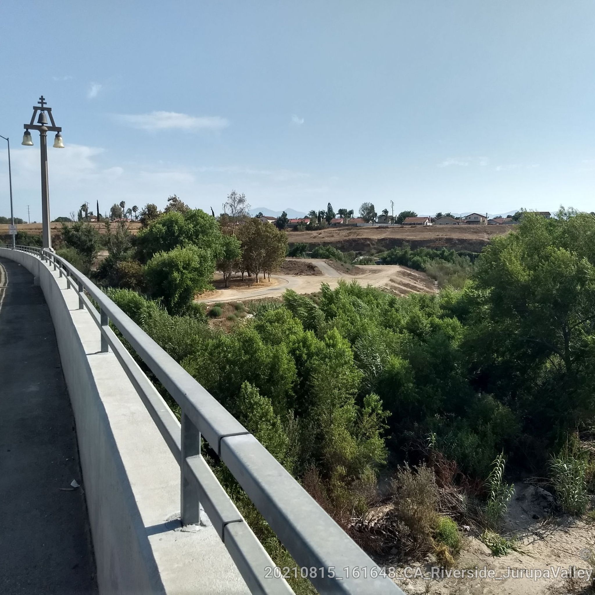
Embark on a moderate hike along the Santa Ana River Trail, a diverse route spanning 8.5 miles (13.6 km) with a gentle elevation gain of 207 feet (63 metres). You can expect to spend about 3 hours and 31 minutes exploring its varied landscapes. The trail transitions from the serene waters of Lake Evans and the green expanses of Fairmount Park to more natural, even desert-like, vegetation further along, offering a unique blend of urban and natural scenery.
Planning your visit to the Santa Ana River Trail is straightforward, as many sections are easily accessible. You'll find convenient parking generally available at various points along the route. The trail is designed with hikers in mind, often utilizing underpasses to ensure smooth, uninterrupted travel without frequent road crossings. Consider starting your hike early to enjoy cooler temperatures, especially during warmer months.
The Santa Ana River Trail offers a glimpse into the diverse Southern California landscape, showcasing how urban areas can coexist with natural habitats. It's a trail that is continually under development, reflecting an ongoing effort to connect communities and preserve natural spaces. This makes it a dynamic route, always evolving and providing a different perspective on the region's ecology and urban planning.
2.90km
00:48
50m
50m
The Mary Vagle Nature Center Trail offers a delightful, family-friendly escape into nature right within the city. You'll find yourself wandering through native gardens, observing blooming plants and active birds, with the Jurupa Hills providing a scenic backdrop. A prominent feature is the central pond, where you can spot ducks, turtles, and koi fish, creating a tranquil atmosphere that feels far removed from urban hustle.
This easy hiking trail covers 1.8 miles (2.9 km) with a modest 155 feet (47 metres) of elevation gain, typically taking about 47 minutes to complete. It's an ideal spot for casual outings or for introducing children to hiking. The well-maintained pathways are suitable for various fitness levels, whether you prefer a leisurely stroll or an invigorating run.
What makes this trail particularly special is its role as an educational hub and natural refuge. The Mary Vagle Nature Center itself provides exhibits on local natural history and a reptile viewing area, offering hands-on learning for students and families. It's a notable urban oasis that allows visitors to connect with nature, observe wildlife, and learn about native species in a peaceful setting.
Get access to more routes and recommendations from other explorers.
Sign up for free
Already have an account?
Our route recommendations are based on thousands of hikes, rides, and runs completed by other people on komoot.
Start today with a free account
Your next adventure awaits.
Login or Signup
Popular around Jurupa Valley

Tips from the Community


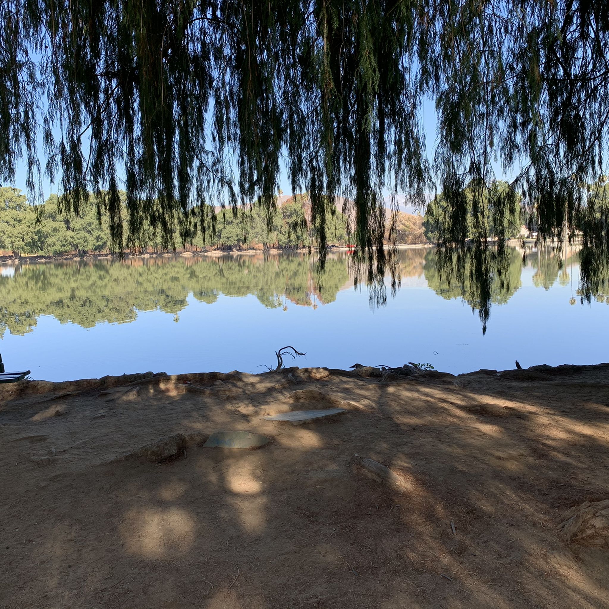
Fairmount Park in Riverside, California, is a picturesque urban oasis spanning over 200 acres. The park surrounds two large ponds, Lake Evans and Lake Fairmount, offering scenic views and recreational opportunities. Hikers can enjoy the well-maintained paths that wind through lush greenery and around the lakes.
0
0

This is a beautiful lake, popular with sailing and fishing amateurs.
0
0
Frequently Asked Questions
Are dogs allowed on the hiking trails in Jurupa Valley?
Yes, many trails in and around Jurupa Valley are dog-friendly, but they must be kept on a leash. Parks like Mount Rubidoux Park are popular spots for dog walkers. Always check the specific regulations for the park or wildlife area you plan to visit and be sure to bring water for your pet, as many trails are unshaded.
What are some good easy or family-friendly hikes in the area?
For a gentle and scenic walk, the Fairmount Park loop — Riverside, California is an excellent choice. It's a short, flat walk around a lake, making it perfect for families with young children. The trails within the Louis Robidoux Nature Center are also short and educational.
Are there any hikes with waterfalls near Jurupa Valley?
The immediate Jurupa Valley area is not known for waterfalls, as the climate is quite dry. The landscape is characterized more by its riverbeds, rolling hills, and riparian habitats. For waterfalls, you would typically need to travel further into the higher elevations of the nearby San Bernardino or San Gabriel Mountains.
Can I find any circular (loop) trails?
Yes, there are several popular loop trails. The Mount Rubidoux loop — Riverside is a well-known paved loop that offers great views from its summit. For a more natural setting, the Pedley Hills also feature a loop trail that connects the area's highest points.
Is there free parking at the trailheads?
Yes, free parking is available for many of the popular hiking destinations. For example, the trailhead for the Mount Jurupa hike is at Martin Tudor Jurupa Hills Regional Park, which offers free parking. However, popular spots like Mount Rubidoux Park can get very crowded, so it's best to arrive early to secure a space.
What should I pack for a day hike in Jurupa Valley?
Given the hot, dry climate and lack of shade on many trails like Mount Jurupa, packing ample water is critical. We also recommend sun protection such as a hat, sunglasses, and sunscreen. Sturdy hiking shoes are important for the rocky and uneven terrain on some of the hill climbs. Finally, bring a fully charged phone, as some informal trails can be confusing.
How difficult is the hike up Mount Jurupa?
The hike up Mount Jurupa is considered challenging. It involves a steep ascent with over 1,150 feet of elevation gain in about 1.5 miles. The trail is unshaded and the terrain can be loose and rocky, making it a strenuous workout best suited for experienced hikers or those looking for a fitness challenge.
What can I expect to see at the Hidden Valley Wildlife Area?
The Hidden Valley Wildlife Area offers a peaceful hiking experience along the Santa Ana River. You can expect to see a variety of migratory birds, making it a popular spot for birdwatching. The trails, like the Hidden Valley Wildlife Area loop, wind through riparian habitats with views of the river and surrounding bluffs.
What is the best time of year to hike around Jurupa Valley?
The best seasons for hiking are fall, winter, and spring. Summers can be extremely hot, and many trails lack shade, making hiking uncomfortable and potentially dangerous during the middle of the day. If you do hike in warmer months, it's best to go early in the morning or later in the evening.
How many hiking trails are there in the Jurupa Valley area?
There are over 20 designated hiking routes to explore around Jurupa Valley. These range from short, easy walks in city parks to challenging climbs up local peaks, offering a good variety for different fitness levels and preferences.
What do other hikers enjoy most about the trails in Jurupa Valley?
The trails around Jurupa Valley are highly regarded by the komoot community. Hikers often praise the panoramic views of the Inland Empire from the tops of hills like Mount Jurupa and Mount Rubidoux, as well as the peaceful, natural setting of the trails along the Santa Ana River.
Are there any paved trails suitable for strollers or wheelchairs?
Yes, the main trail at Mount Rubidoux Park is paved all the way to the top, making it more of a steep, inclined walk than a traditional hike. This makes it accessible for rugged strollers, though the incline can be challenging. The Santa Ana River Trail also has paved sections that are suitable for strollers and wheelchairs.
Most popular routes around Jurupa Valley
Most popular attractions around Jurupa Valley

Get inspired with the komoot mobile app


Explore more
Browse the best Hikes in other regions.
