The best road cycling routes around Laguna Hills
4.6
(184)
4,813
riders
163
rides
Road cycling routes around Laguna Hills offer a diverse network of paved and multi-use paths. The region features varied landscapes, including coastal canyons, oak woodlands, and chaparral-covered hillsides. These natural features provide both challenging terrain and scenic views, with many routes offering glimpses of the Pacific Ocean. The area also connects to extensive regional trail networks, catering to various cycling preferences.
Best road cycling routes around Laguna Hills
- The most popular road cycling route is Laguna Niguel/Mission Viejo to San Clemente via Dana Point, a 30.0 miles (48.3 km) trail that takes 2 hours 22 minutes to complete. This moderate route offers coastal views and connects several communities.
- Another top favourite among local road cyclists is Aliso Creek Bikeway, a moderate 20.3 miles (32.6 km) path. This route follows a federally designated national recreation trail through diverse landscapes.
- Local road cyclists also love the Santiago Canyon Road – Aliso Creek Bikeway loop from Laguna Niguel/Mission Viejo, a 29.9 miles (48.2 km) trail leading through varied terrain, often completed in about 2 hours 27 minutes.
- Road cycling around Laguna Hills is defined by coastal canyons, oak woodlands, and extensive paved trail networks. The region offers options for different ability levels, from easy paths to more challenging routes with significant elevation gain.
- The routes in Laguna Hills are highly rated by the komoot community with an average score of 4.6 stars from more than 90 reviews. More than 3,500 road cyclists have used komoot to explore Laguna Hills's varied terrain.
Last updated: August 31, 2026
30
riders
48.3km
02:22
670m
670m
Embark on a moderate road cycling adventure from Laguna Niguel/Mission Viejo to San Clemente via Dana Point, covering 30.0 miles (48.3 km) with a total elevation gain of 2210 feet (674 metres). This route offers a diverse experience, starting with views alongside San Juan Creek and passing through local parks. As you approach Dana Point, the scenery shifts to stunning coastal vistas, especially as you ride past Doheny State Beach and continue towards San Clemente. You can expect to complete this journey in about 2 hours and 22 minutes, enjoying the iconic Southern California coastline.
Before you head out, be aware that a segment of the San Clemente Beach Trail, specifically between the El Portal and Mariposa access points, was closed indefinitely as of February 2024 due to slope movement. It is wise to check local conditions for any updates before your ride. You will find parking generally available at various points along the route, with Doheny State Beach serving as a convenient access point. Remember that in some areas, such as near the San Clemente Pier, you must walk your bike to avoid fines.
This route stands out for its blend of inland and coastal cycling, primarily utilizing interconnected paved trails. It offers a unique opportunity to experience both the serene environment alongside San Juan Creek and the vibrant Pacific Coast Highway. The journey culminates with the San Clemente Beach Trail, keeping you close to the ocean and providing easy access to the area's beautiful beaches.
16
riders
32.6km
01:37
400m
400m
Embark on a moderate road cycling adventure along the Aliso Creek Bikeway, a 20.3 miles (32.6 km) route that winds through diverse landscapes. You will pedal past open spaces, community parks, and the natural beauty of Aliso and Wood Canyons Regional Park. The journey follows Aliso Creek from the El Toro foothills, offering glimpses of the Pacific Ocean as you near Laguna Beach. Expect to gain 1317 feet (401 metres) in elevation over an estimated 1 hours and 37 minutes, making it a rewarding ride.
Accessing the Aliso Creek Bikeway is straightforward, with free parking available at several starting points and along the route. While the bikeway is generally smooth, be aware that some sections might have cracks and bumps, which could affect your road bike. Pay particular attention to a short segment after Laguna Hills Drive, where sandy conditions could pose a challenge for thinner tires. Planning your ride during daylight hours is recommended to fully enjoy the scenery and navigate any uneven surfaces safely.
This bikeway is a fantastic way to experience Orange County's natural side, providing a consistent and enjoyable journey for road cyclists. As you cycle, keep an eye out for local wildlife, including bobcats, skunks, and deer, which frequent the natural areas along the creek. The route's path along Aliso Creek ultimately leads you towards the coast, offering a unique perspective of the region's transition from inland foothills to the beach.

Sign up for free
76
riders
Moderate road ride. Good fitness required. Some segments of this route may be unpaved and difficult to ride.
3.0
(38)
177
riders
52.6km
02:22
240m
230m
Moderate road ride. Good fitness required. Mostly well-paved surfaces and easy to ride.
3.7
(3)
33
riders
Moderate road ride. Good fitness required. Mostly well-paved surfaces and easy to ride.
Get access to more routes and recommendations from other explorers.
Sign up for free
Already have an account?
Our route recommendations are based on thousands of hikes, rides, and runs completed by other people on komoot.
Start today with a free account
Your next adventure awaits.
Login or Signup
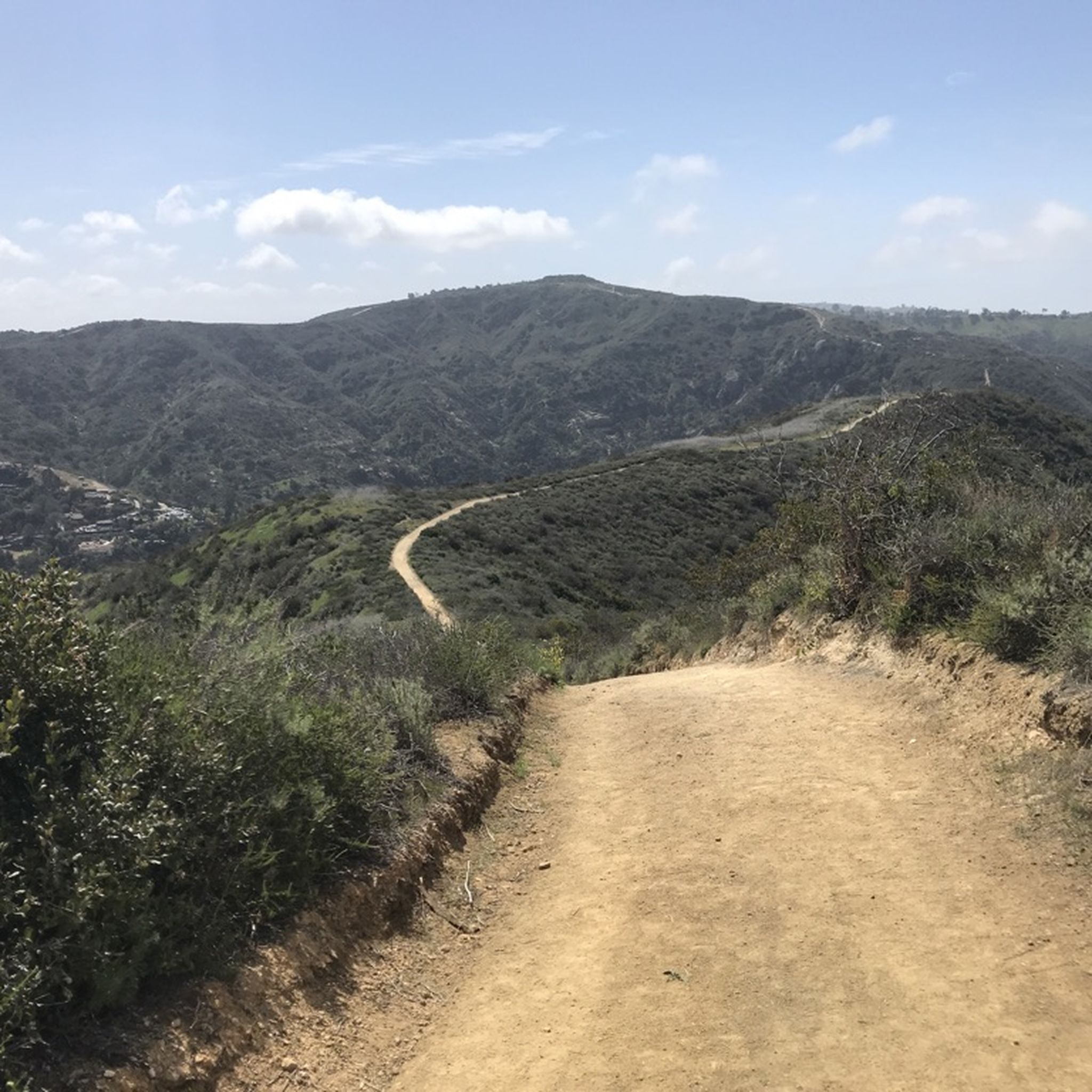
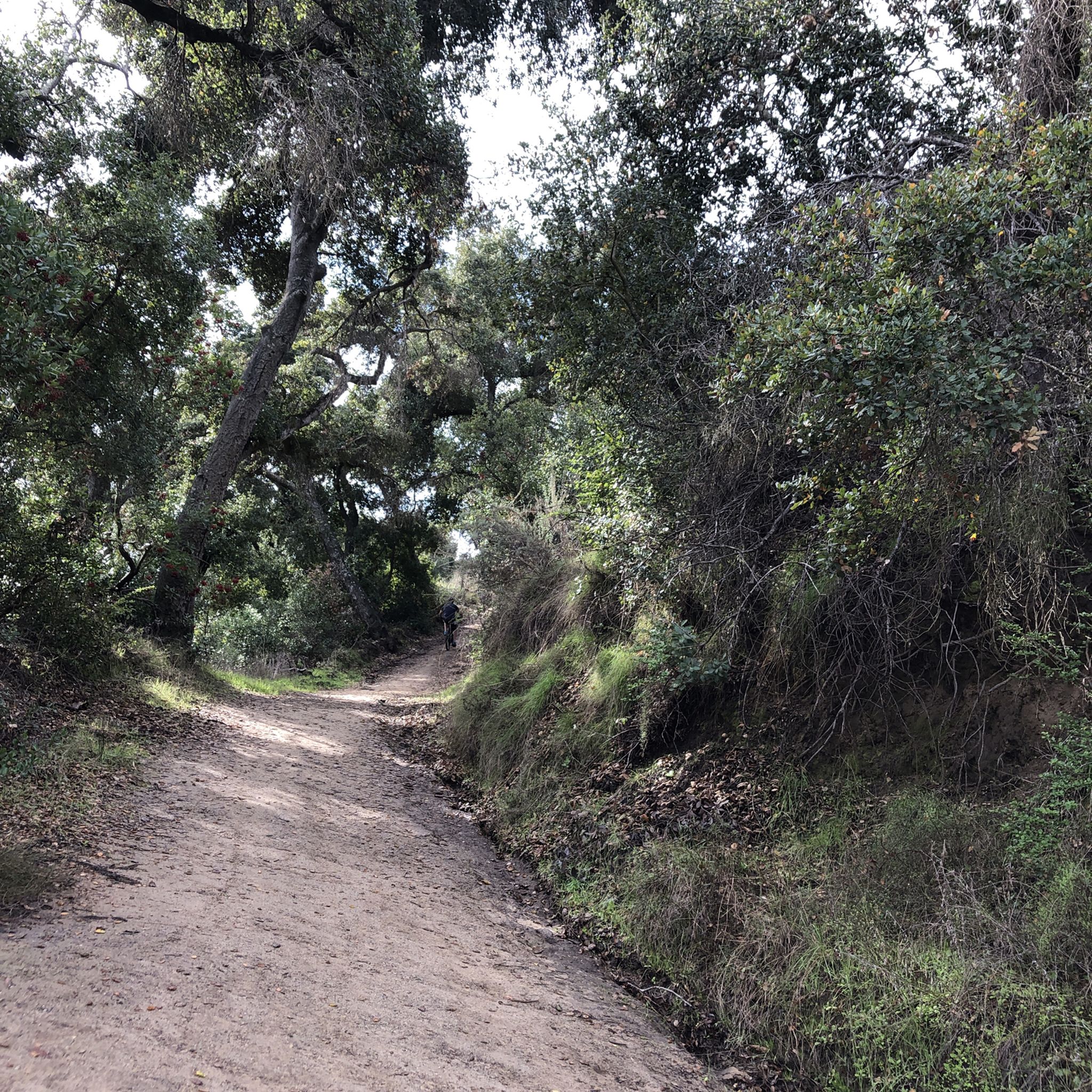
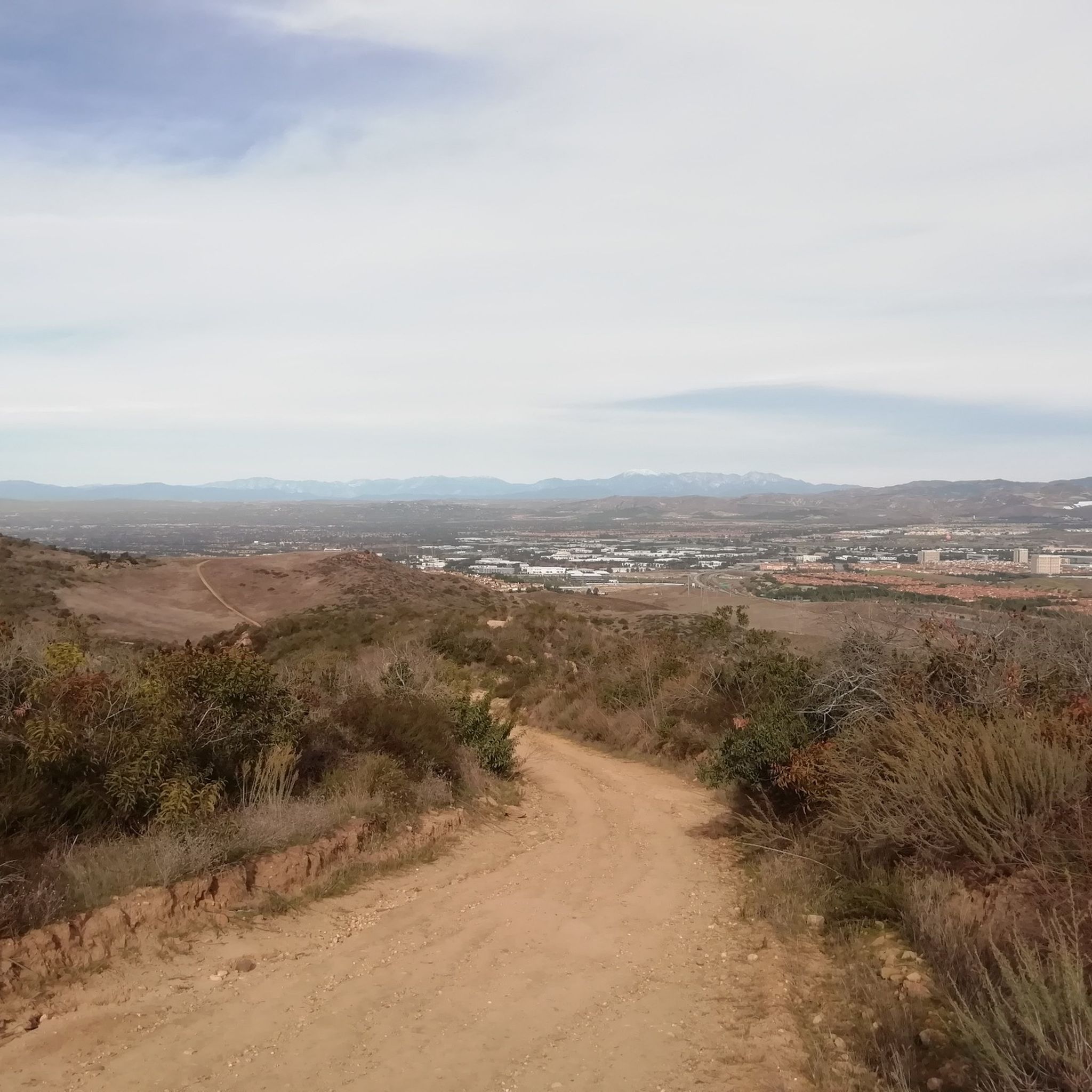
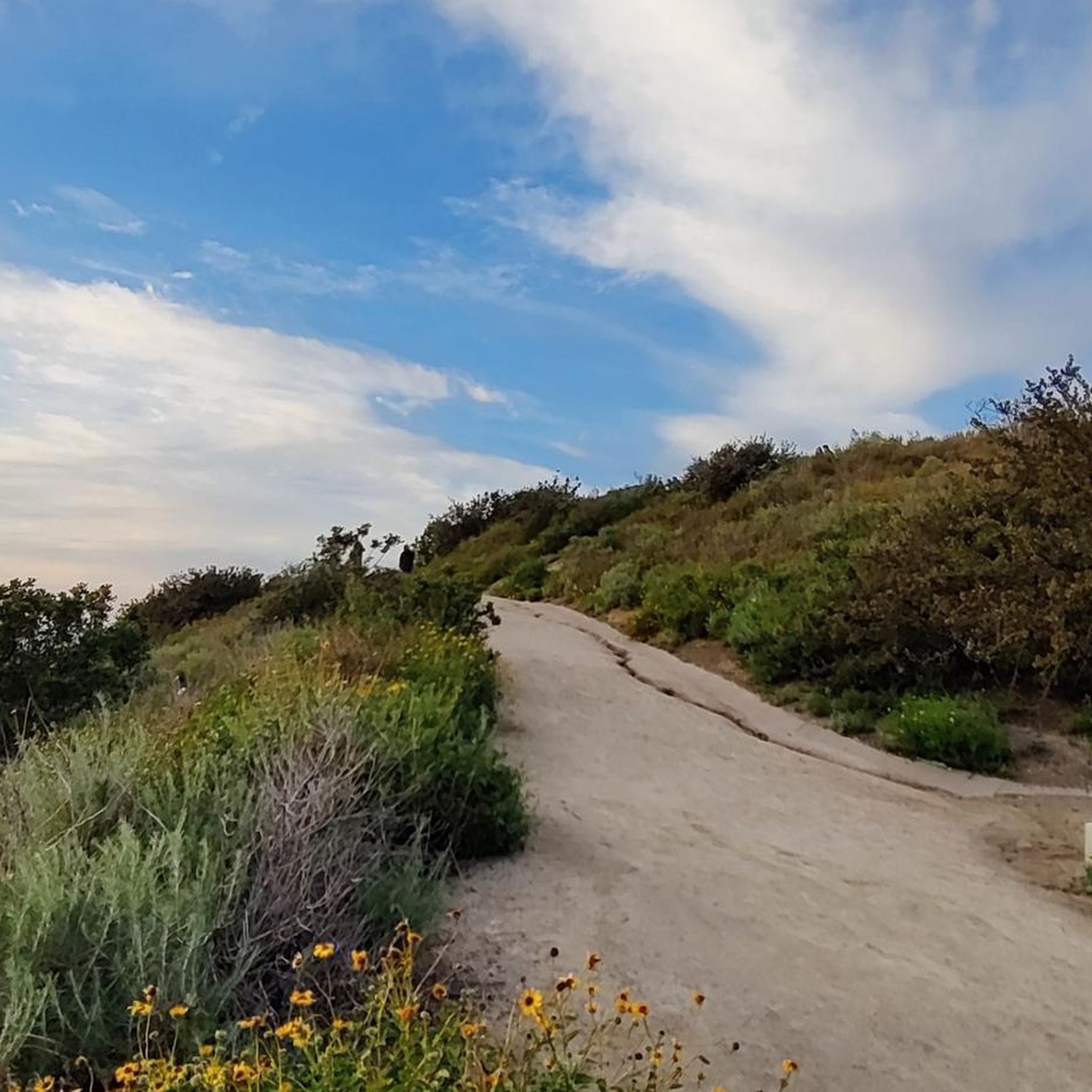

Tips from the Community


Beautiful ride that connects with many other trails. The only downside is the operators of E bikes speeding and riding like idiots, scary!
0
0

Cook’s Corner is a classic stop for cyclists riding through Santiago Canyon and one of the most popular biker hangouts in Southern California. It’s casual and bike-friendly, with shaded picnic tables and plenty of space to park. Grab a burger or a cold drink, rest your legs, and soak in the lively atmosphere—especially on weekends when it’s packed with motorcycles and live music.
0
0

The Aliso Creek Trail goes from South Laguna to Rancho Santa Margarita. It is an 18.5-mile multi use trail corridor that goes through a number of parks on the way. There are plenty of rest areas on the way for you. Starting shoreside, the trail goes gradually uphill, but it will be a fun trip on the way back.
0
0

The trail here is paved and designed specifically for foot traffic and bikes with two separate cycling lanes. You get great views across Newport Bay to the ecological reserve as you pass by a couple small parks and vista points.
0
0

From this spot, you get a nice view over the Upper Newport Bay Ecological Reserve. It is one of Southern California's largest remaining coastal wetlands. This estuary comprises diverse habitats, including salt marshes, mudflats, and riparian zones, providing critical environments for numerous plant and animal species. The reserve is also a vital stopover for migratory birds along the Pacific Flyway, with up to 35,000 birds present during winter migration. It supports nearly 200 bird species, including endangered ones like the Light-footed Clapper Rail and California Least Tern.
0
0

❗The northern segment of the Back Bay Loop Trail, specifically the Bay View Trail including the pedestrian bridge, is closed for repairs from December 9 to December 27, 2024. This closure is in effect daily, including weekends. A detour along Mesa Drive is available for trail users to reconnect with the trail.
0
0

Frequently Asked Questions
How many road cycling routes are available in Laguna Hills?
Laguna Hills offers nearly 150 road cycling routes, catering to various skill levels. You'll find a diverse network of paved and multi-use paths, with options ranging from easy rides to more challenging routes with significant elevation gain.
What kind of terrain and landscapes will I encounter on road cycling routes in Laguna Hills?
The region around Laguna Hills is characterized by varied and picturesque landscapes. Cyclists can expect to experience coastal canyons, oak woodlands, and chaparral-covered hillsides. Many routes offer breathtaking vistas, including views of the Pacific Ocean, and some follow year-round streams through lush greenery.
Are there easy road cycling routes suitable for beginners or families in Laguna Hills?
Yes, Laguna Hills has a good selection of easy routes. For instance, the San Diego Creek Bike Trail loop from Irvine Spectrum Center is an easy option. The region's extensive network of paved and multi-use paths includes many sections suitable for less experienced riders or family outings.
Which road cycling routes offer the most scenic views or pass by natural features?
Many routes in Laguna Hills provide stunning scenery. The Laguna Niguel/Mission Viejo to San Clemente via Dana Point route offers coastal views. You can also explore areas like Aliso and Wood Canyons Wilderness Park, which feature diverse landscapes and shaded trails. For specific natural monuments, consider visiting Cave Rock or Dripping Cave (Robbers Cave), which are accessible near some routes.
Are there any challenging road cycling routes for advanced riders in Laguna Hills?
Absolutely. For advanced cyclists seeking a challenge, the Aliso Creek Bikeway – Santiago Canyon Road loop from Laguna Niguel/Mission Viejo is a difficult route covering over 75 km with significant elevation gain. The region's diverse topography includes hillsides that provide demanding climbs.
What are some notable landmarks or attractions I can see along road cycling routes?
While cycling, you can encounter various points of interest. The Aliso Creek Bikeway passes through diverse landscapes, including the site of the Juan Avila Adobe. Other nearby attractions include Main Beach Park and the San Joaquin Marsh Wildlife Sanctuary, which can be accessed via connecting trails like the San Diego Creek Trail.
Are there loop road cycling routes available in Laguna Hills?
Yes, loop routes are a popular option. The Santiago Canyon Road – Aliso Creek Bikeway loop from Laguna Niguel/Mission Viejo is a well-regarded option, offering a diverse ride through varied terrain. Many of the extensive trail networks also allow for creating custom loop rides.
What do other road cyclists enjoy most about cycling in Laguna Hills?
The road cycling routes in Laguna Hills are highly rated by the komoot community, with an average score of 4.6 stars from nearly 100 reviews. Cyclists often praise the diverse landscapes, the extensive network of well-maintained paved trails, and the scenic views, including glimpses of the Pacific Ocean.
Where can I find information about parking or public transport access for road cycling trails?
Many parks and trailheads in Laguna Hills offer parking facilities. For detailed information on specific trail access points and parking, it's recommended to check local city resources. The city of Laguna Hills provides information on its trails at lagunahillsca.gov.
What is the best time of year to go road cycling in Laguna Hills?
Laguna Hills generally offers favorable conditions for road cycling year-round due to its mild Southern California climate. Spring and fall often provide the most comfortable temperatures, but even winter cycling is pleasant, though some routes might be cooler or experience occasional rain. Summers can be warm, so early morning or late afternoon rides are often preferred.
Are there any road cycling routes that connect to other regional parks or coastal areas?
Yes, Laguna Hills provides excellent connectivity to a broader network. The Aliso Creek Trail, for example, extends to Whiting Ranch Wilderness Park. You can also connect to the San Diego Creek Bike Trail, which links to Back Bay Drive and the Peters Canyon Bikeway, allowing for longer rides to other regional parks and coastal destinations.
Most popular attractions around Laguna Hills

Get inspired with the komoot mobile app


Explore more
Browse the best Road cycling routes in other regions.
