The best walks and hikes around Lakewood
4.3
(10)
653
hikers
61
hikes
Hiking around Lakewood offers a diverse range of outdoor experiences within its numerous parks and open spaces. The landscape features a mix of urban parks, natural areas, and trails around lakes, providing accessible options for various activity levels. The terrain is generally gentle, making routes suitable for casual walks and longer hikes through parkland and along waterways. This network of trails offers options for different ability levels, from easy strolls to moderate excursions.
Best hiking trails around Lakewood
- The most…
Last updated: July 7, 2026
21
hikers
4.09km
01:02
0m
0m
Easy hike. Great for any fitness level. Easily-accessible paths. Suitable for all skill levels.
3
hikers
9.86km
02:29
10m
10m
Moderate hike. Good fitness required. Easily-accessible paths. Suitable for all skill levels.

Sign up for free
3
hikers
2.00km
00:30
0m
0m
Easy hike. Great for any fitness level. Easily-accessible paths. Suitable for all skill levels.
1
hikers
3.77km
01:07
140m
80m
Easy hike. Great for any fitness level. Easily-accessible paths. Suitable for all skill levels.
11.4km
02:52
10m
10m
Moderate hike. Good fitness required. Easily-accessible paths. Suitable for all skill levels.
Get access to more routes and recommendations from other explorers.
Sign up for free
Already have an account?
Our route recommendations are based on thousands of hikes, rides, and runs completed by other people on komoot.
Start today with a free account
Your next adventure awaits.
Login or Signup
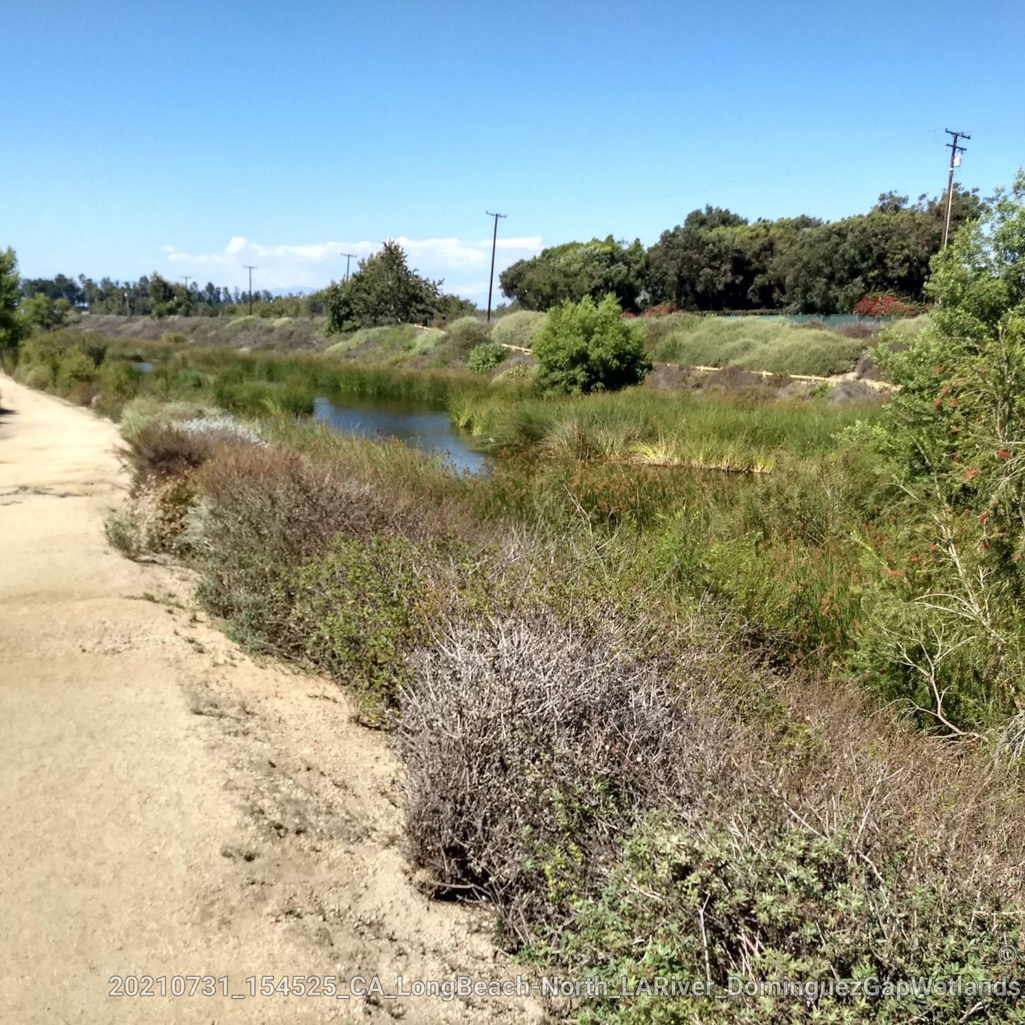
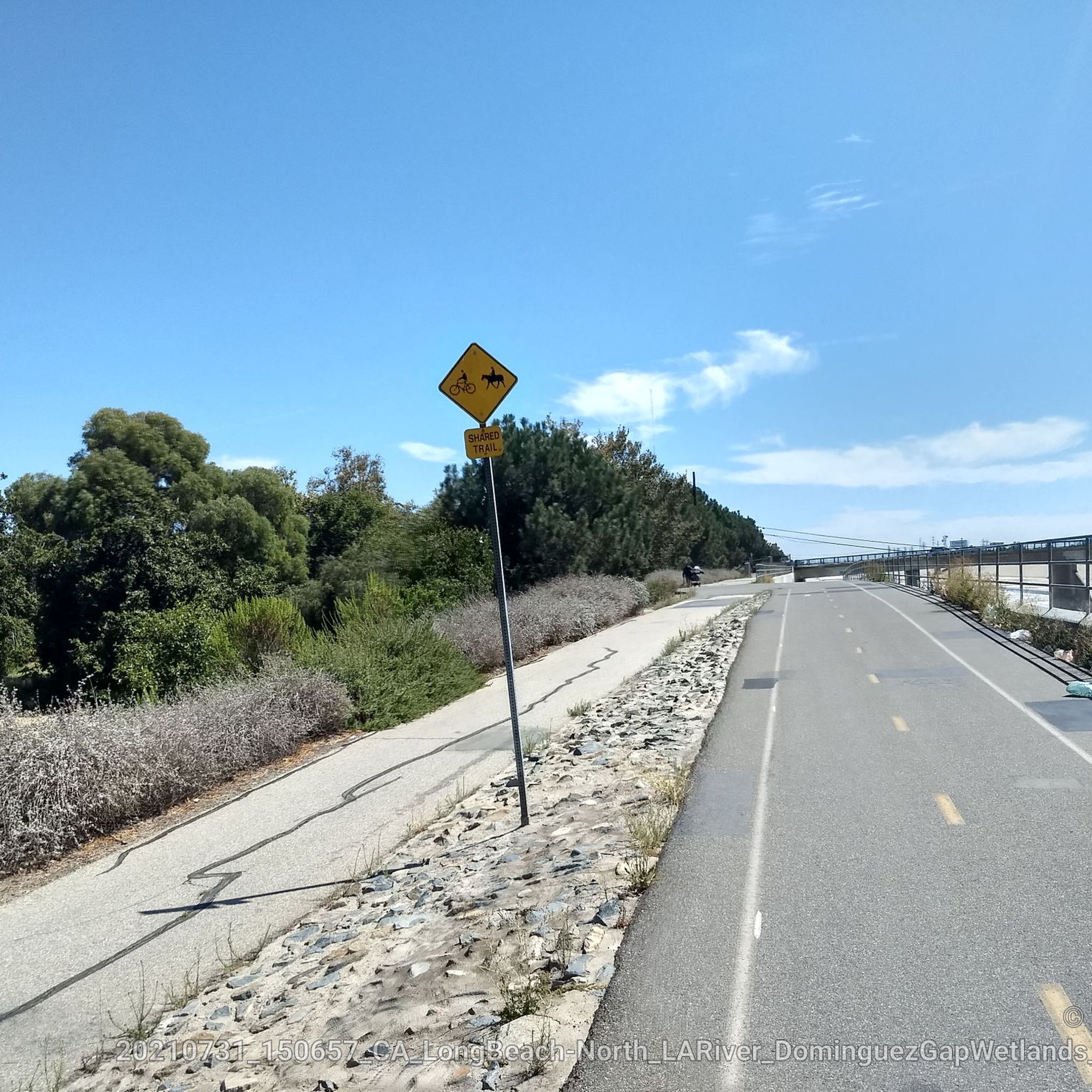
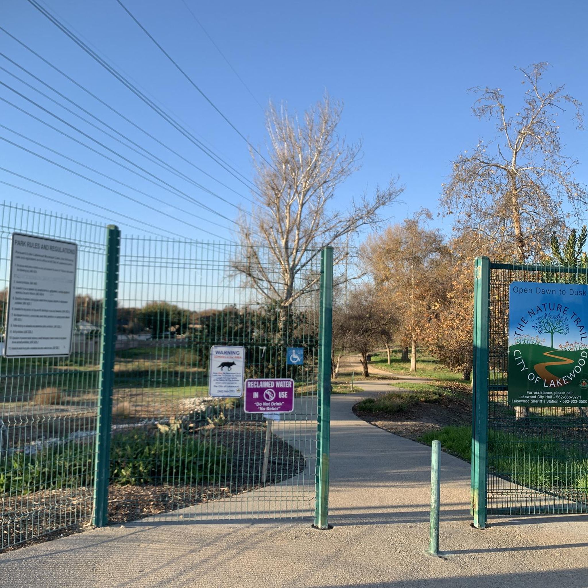

Tips from the Community

Limited cars use the roads so it is nice to get away from traffic
0
0

Horseshoe Lake is aptly named and has a restroom next to it. The lake is situated a little ways off the main path, so you can find some secluded spots to sit and enjoy the water around the shoreline.
0
0

One of the largest urban parks in the valley, with lakes, meadows, sports fields, picnic areas, etc.
0
0
The San Gabriel River is one of the best routes in the entire valley to bike safely without traffic on a dedicated trail from the hills through the sprawling downtown areas to the ocean. The trail runs on the river levee, mostly on the east bank. While the river is mostly a concrete canal, there are a few sections where it passes by parks like here the El Dorado, or private gardens and plant nurseries, adding a few touches of green in this huge metropolitan area that otherwise has few long, dedicated bike routes.
0
0
The San Gabriel River is one of the best routes in the entire valley to bike safely without traffic on a dedicated trail from the hills through the sprawling downtown areas to the ocean. The trail runs on the river levee, mostly on the east bank. While the river is mostly a concrete canal, there are a few sections where it passes by parks like here the El Dorado, or private gardens and plant nurseries, adding a few touches of green in this huge metropolitan area that otherwise has few long, dedicated bike routes.
0
0
Very large public park along the river with a network of car-free bike trails and quiet park roads connecting several lakes, shady groves, and picnic facilities with restrooms and water.
0
0
Starting at the mouth of the San Gabriel River one mile to the west, this is one of 4 main bike paths radiating inland from the coast.
1
0
Frequently Asked Questions
How many hiking trails are available in Lakewood?
Lakewood offers a good selection of hiking opportunities, with over 35 routes to explore. These range from easy strolls through local parks to more moderate excursions around lakes and open spaces.
What types of trails can I expect to find in Lakewood?
The trails in Lakewood are primarily found within its numerous parks and open spaces, featuring gentle terrain suitable for various activity levels. You'll find accessible park trails, scenic lake loops, and paths through natural areas.
Are there any easy, family-friendly walks in Lakewood?
Yes, Lakewood is well-suited for family-friendly walks. Many trails are easy, such as the Don Knabe Regional County Park loop — La Palma, which is a short 1.5-mile (2.4 km) path, perfect for a leisurely outing.
Can I find circular hiking routes in Lakewood?
Absolutely. Many of Lakewood's trails are designed as loops, offering convenient circular routes. An example is the North Lake – South Lake loop from Los Alamitos, an easy 3.1-mile (5 km) path that takes you around the lakes.
What do other hikers say about the trails in Lakewood?
The hiking trails in Lakewood are highly regarded by the komoot community, holding an average rating of 4.3 stars. Hikers often praise the accessibility of the park trails and the pleasant, gentle terrain.
Are there any longer, moderate hikes available?
For those looking for a longer journey, Lakewood offers moderate trails like the El Rancho Verde Park — La Palma, California. This route spans 7.2 miles (11.6 km) and provides an extended experience through parkland with minimal elevation changes.
What are some interesting places to see near the hiking trails?
Near the hiking trails, you can explore various attractions. Consider visiting El Dorado East Regional Park, the serene Rainbow Lagoon, or the picturesque North Lake. For coastal views, Alamitos Beach is also nearby.
Are there any trails that go around lakes?
Yes, Lakewood features several trails that loop around its beautiful lakes. The Horseshoe Lake loop from Millikan High School is an easy 3.7-mile (6 km) option that offers pleasant waterside views.
What is the best time of year to hike in Lakewood?
Given Lakewood's generally mild climate, hiking is enjoyable year-round. Spring and fall offer particularly pleasant temperatures, while summer mornings can be ideal for avoiding the midday heat. Always check local weather conditions before heading out.
Are there any trails that combine urban and natural landscapes?
For a mix of scenery, consider the Pride lifeguard tower – Zuzu’s Petals loop from 1st Street. This 5.3-mile (8.5 km) trail takes you through varied urban and natural settings, offering a diverse hiking experience.
What kind of terrain should I expect on Lakewood's trails?
The terrain on Lakewood's trails is generally gentle, with minimal elevation changes, making it suitable for a wide range of hikers. You'll mostly encounter well-maintained paths within parks and open spaces.
Most popular attractions around Lakewood

Get inspired with the komoot mobile app


Explore more
Browse the best Hikes in other regions.
