The best road cycling routes around Burbank
4.7
(171)
6,454
riders
14
rides
Road cycling around Burbank offers diverse terrain, from urban pathways to challenging mountain ascents. The city is situated at the foothills of the Verdugo Mountains, providing varied elevation profiles and scenic backdrops. Cyclists can find routes that traverse the San Fernando Valley or climb into the hills, offering views of the surrounding Los Angeles area. The region features a mix of dedicated bike paths and road routes, catering to different cycling preferences.
Best road cycling routes around Burbank
- The most popular road cycling route is Mount Hollywood Drive – Griffith Observatory loop from Downtown Burbank, a 29.3 miles (47.1 km) trail that takes 2 hours 25 minutes to complete. This moderate route leads through the hills surrounding Griffith Park.
- Another top favourite among local road cyclists is La Tuna Canyon Road – Miradero Gate loop from Downtown Burbank, a moderate 31.9 miles (51.3 km) path. This route offers winding roads through green hills with elevation gain.
- Local road cyclists also love the La Tuna Canyon Road – Miradero Gate loop from Burbank Airport–North, a 23.1 miles (37.2 km) trail leading through the Verdugo Mountains foothills, often completed in about 1 hour 46 minutes.
- Road cycling around Burbank is defined by the Verdugo Mountains, urban bike paths, and distant views of the San Gabriel Mountains. The network offers options for different ability levels, from moderate loops to more challenging climbs.
- The routes in Burbank are highly rated by the komoot community with an average score of 3.4 stars from over 13 reviews. More than 800 road cyclists have used komoot to explore Burbank's varied terrain.
Last updated: July 6, 2026
5.0
(8)
523
riders
44.6km
02:25
760m
760m
Moderate road ride. Good fitness required. Mostly well-paved surfaces and easy to ride.
4.7
(7)
314
riders
83.2km
04:06
920m
920m
Hard road ride. Very good fitness required. Some segments of this route may be unpaved and difficult to ride.

Sign up for free
57
riders
37.2km
01:46
460m
460m
Moderate road ride. Good fitness required. Mostly well-paved surfaces and easy to ride.
68
riders
50.7km
02:26
670m
670m
Moderate road ride. Good fitness required. Mostly well-paved surfaces and easy to ride.
47
riders
59.6km
03:05
890m
890m
Moderate road ride. Good fitness required. Mostly well-paved surfaces and easy to ride.
Get access to more routes and recommendations from other explorers.
Sign up for free
Already have an account?
Our route recommendations are based on thousands of hikes, rides, and runs completed by other people on komoot.
Start today with a free account
Your next adventure awaits.
Login or Signup

Tips from the Community


This trail currently runs about 38 miles in several disconnected segments; there are plans to eventually unify it in a continuous, 50-mile swath. There are stretches of dirt mixed in with the paved trail, so you're best off with a touring bike instead of a road bike.
0
0

Climb out of the Brookside Golf Club area and into the Pasadena suburban area. This climb has a nice shoulder and is lined with trees.
0
0

Griffith's iconic Observatory is southern California's gateway to the cosmos. This hugely popular venue is the most visited observatory in the world. Since opening in 1935, the Observatory has welcomed over 85 million visitors. It is also 1,134 feet above sea level and is visible from most parts of the city it also has some of the best views of downtown Los Angeles and in particular the world-famous Hollywood Sign.
1
0

The Verdugo Wash Debris Basin is a beautiful, small lake created by the Verdugo Wash, a tributary of the Los Angeles River. There are nice views of the lake from both Country Club Drive and La Crescenta Avenue.
0
0

The Grotto is a deep canyon with steep walls shaded by large trees. Depending on the season there is also a waterfall with a small pool. There is a picnic area with tables and benches in the Grotto, making it a great spot to relax, cool off, and enjoy the scenery.
0
0

Eagle Rock is a prominent rock feature that towers over a neighborhood of the same name. If you are here at the right time you will be able to see how the rock got its name, as the shadows created by an overhang appear in the shape of a soaring eagle.
0
0
Built in 1912 this historic bridge plays an important part in the growth of the city. For a short time in the 1930's and 40s it was part of the iconic "Route 66" that stretched from Santa Monica to Chicago. Aside from a short closure and refurbishment after the 1989 Loma Prieta earthquake, the bridge has been in operation for well over a century.
1
0
Frequently Asked Questions
What kind of terrain can I expect on road cycling routes around Burbank?
Burbank offers a diverse range of terrain for road cyclists. You'll find urban pathways like the Chandler Bike Path and Burbank Channel Bikeway, which are generally flat. For those seeking more challenge, routes extend into the foothills of the Verdugo Mountains and around Griffith Park, featuring significant elevation gains and scenic climbs. Distant views of the San Gabriel Mountains also add to the scenic backdrop.
Are there any easy road cycling routes suitable for beginners in Burbank?
Yes, Burbank has options for easier rides. The Griffith Park Drive – Baum Bicycle Bridge loop from Burbank Airport–South is an easy 24.8-mile (39.9 km) path, offering a smoother ride through accessible park areas. Additionally, the Chandler Bike Path and Burbank Channel Bikeway provide dedicated, flat surfaces perfect for a relaxed ride.
Which routes offer challenging climbs and significant elevation gain?
For a more challenging experience, consider routes that venture into the hills. The La Tuna Canyon Road – Miradero Gate loop from Downtown Burbank, for example, winds through green hills and offers substantial elevation gain, providing rewarding vistas as you climb. Routes around Griffith Park, such as the Mount Hollywood Drive – Griffith Observatory loop from Downtown Burbank, also feature notable ascents.
What scenic landmarks or viewpoints can I see along Burbank's road cycling routes?
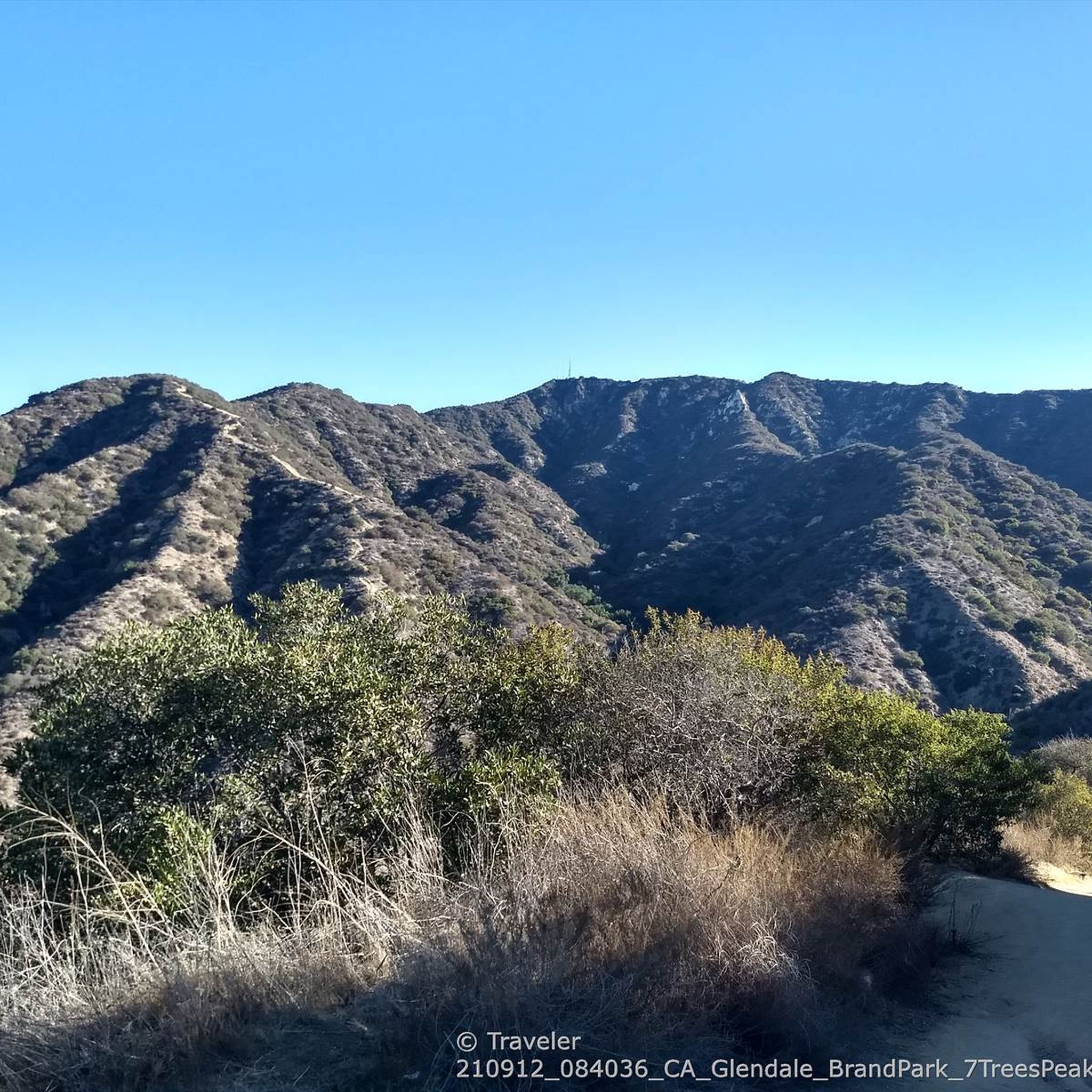
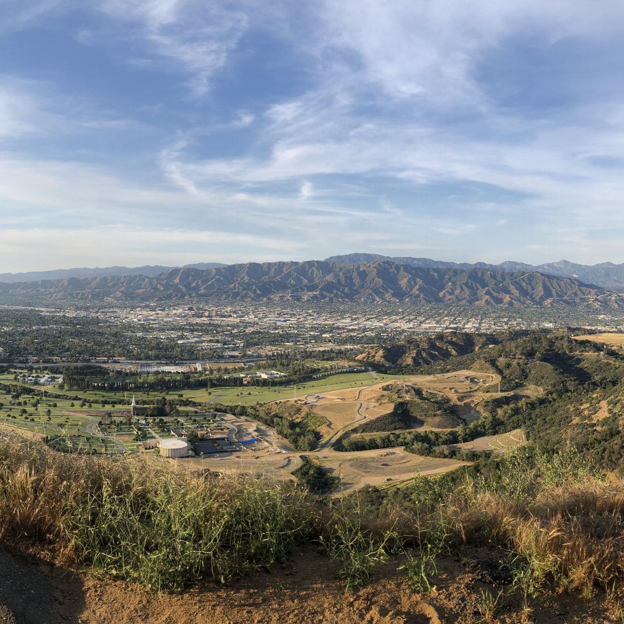
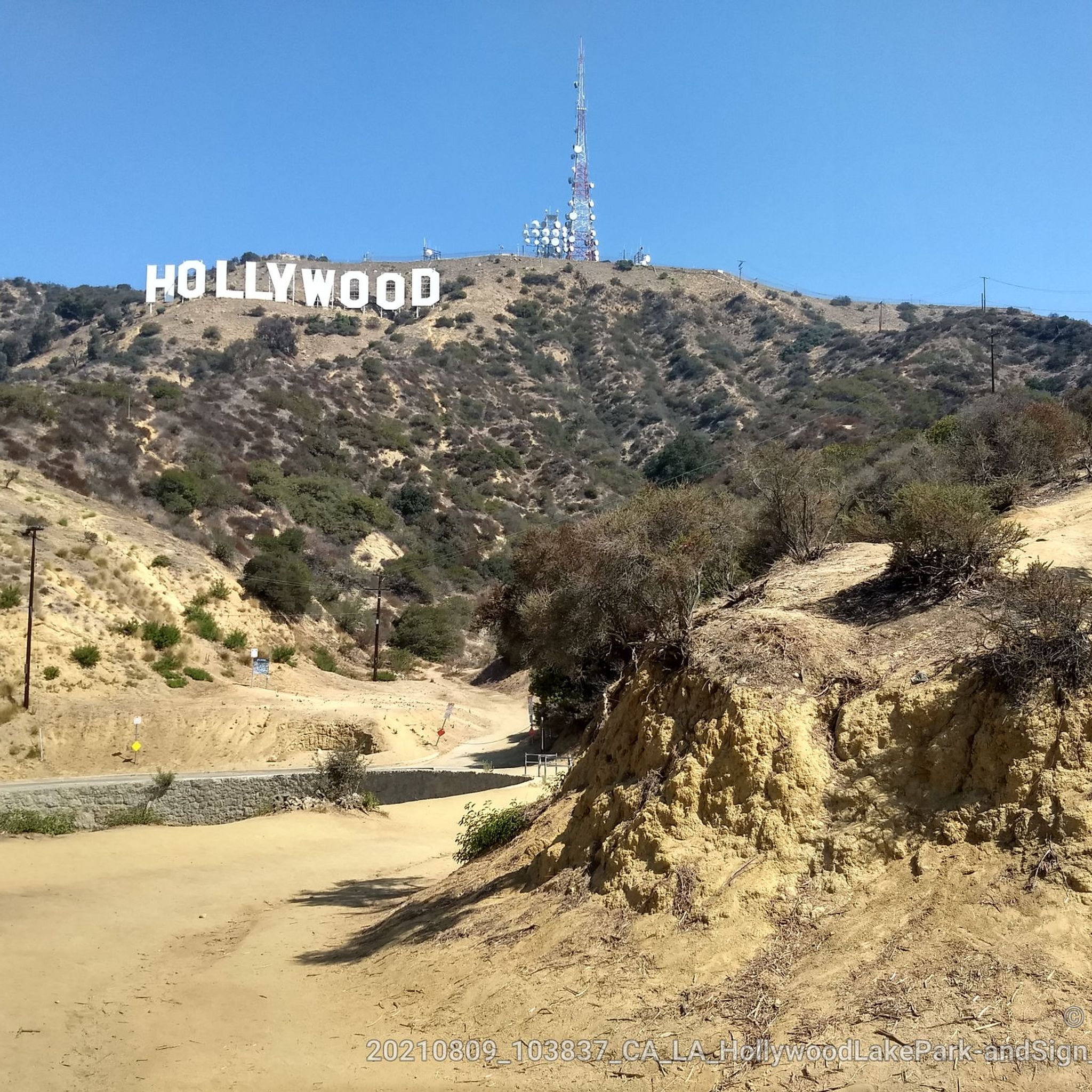
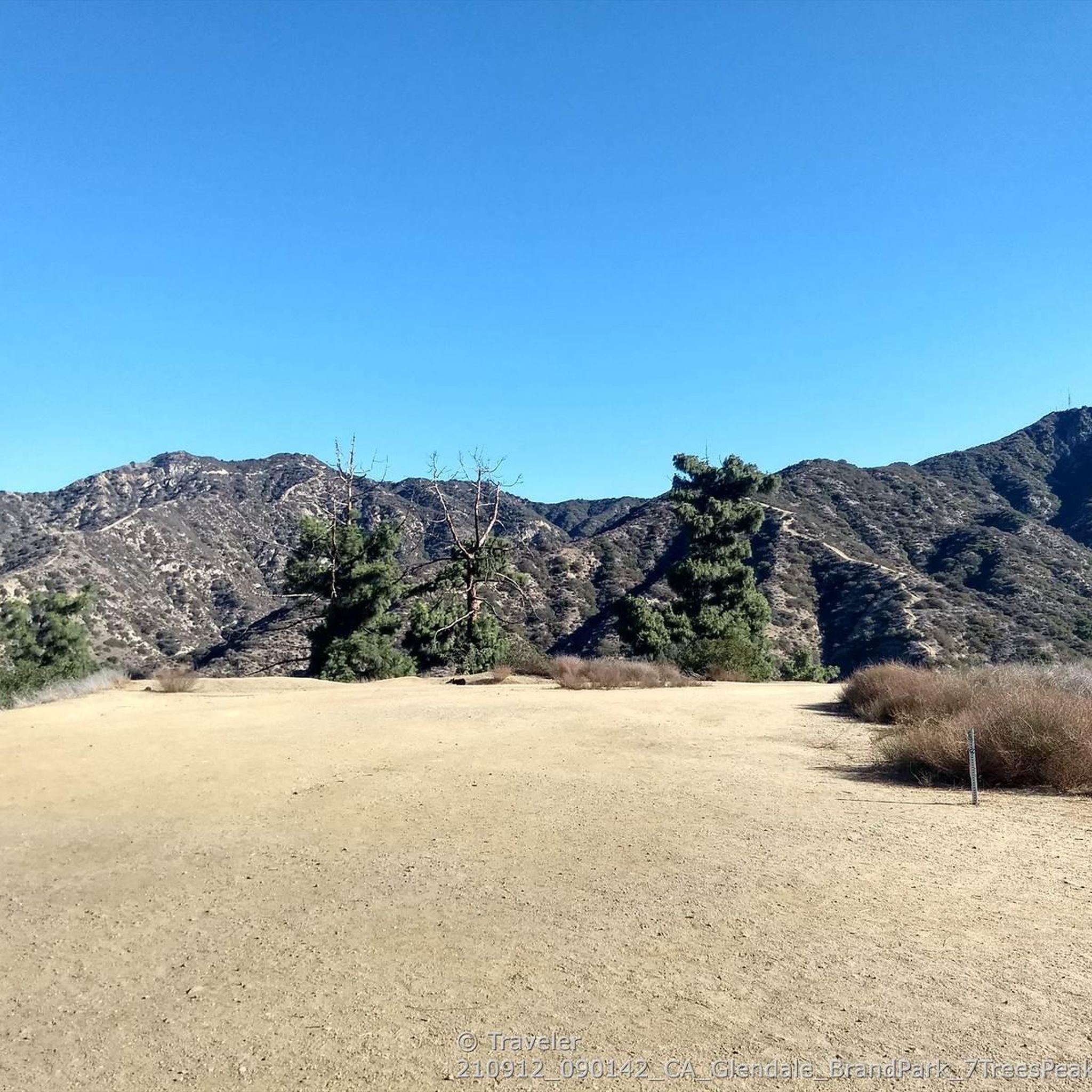
Many routes offer stunning views and pass by notable landmarks. The Hollywood Sign – Griffith Observatory loop from Downtown Burbank provides views of iconic Los Angeles landmarks. From higher elevations in the Verdugo Mountains or Griffith Park, you can often enjoy panoramic views of the San Fernando Valley, downtown Los Angeles, and even the distant San Gabriel Mountains. Specific viewpoints include the Back of the Hollywood Sign on Mount Lee and the Wisdom Tree on Burbank Peak.
Are there any family-friendly road cycling options in Burbank?
Yes, for families, the dedicated urban bike paths are an excellent choice. The Chandler Bike Path is a popular two-mile trail perfect for biking, rollerblading, or jogging, winding through the Magnolia Park neighborhood. The Burbank Channel Bikeway also offers a mile of off-street path, providing a safe and enjoyable environment for family rides.
What do other road cyclists enjoy most about cycling in Burbank?
The komoot community highly rates road cycling in Burbank, with an average score of 4.9 stars from over 20 reviews. Cyclists often praise the diverse terrain, from accessible urban paths to challenging mountain climbs, and the scenic views of the Verdugo Mountains, Griffith Park, and the Los Angeles skyline. The variety of routes caters to different skill levels, making it enjoyable for many.
What is the best time of year for road cycling in Burbank?
Burbank generally offers pleasant cycling conditions year-round due to its mild Southern California climate. Spring and fall provide ideal temperatures, making long rides very comfortable. Winter cycling is also popular, as temperatures remain moderate. Summers can be hot, especially in the afternoon, so early morning or late afternoon rides are recommended during those months.
Are there circular road cycling routes available in Burbank?
Yes, many of the popular road cycling routes around Burbank are designed as loops, allowing you to start and end at the same point. Examples include the Hollywood Sign – Griffith Observatory loop from Downtown Burbank and the La Tuna Canyon Road – Miradero Gate loop from Downtown Burbank. These loops offer varied distances and difficulty levels.
What are the parking options for accessing road cycling routes in Burbank?
Parking availability varies by route. For routes starting in Downtown Burbank or near Griffith Park, street parking or public parking lots may be available. For paths like the Chandler Bike Path, you can often find street parking in the surrounding neighborhoods. It's always a good idea to check specific starting points for the best parking options.
Can I access road cycling routes in Burbank using public transport?
Yes, some routes are accessible via public transport. The Burbank Channel Bikeway, for instance, connects directly to the Downtown Burbank Metrolink Station, making it convenient for cyclists using public transit. For other routes, you might need to combine public transport with a short ride to the trailhead or starting point.
Are there any specific regulations for dog-friendly cycling on Burbank's road bike trails?
While many parks in Burbank are dog-friendly for walking, specific regulations for dogs on road cycling trails can vary. Dedicated bike paths like the Chandler Bike Path generally allow leashed dogs. However, for safety and to avoid conflicts with other cyclists, it's always best to check local park rules or specific trail guidelines before bringing your dog on a road cycling route.
Where can I find cafes or places to refuel along or near Burbank's cycling routes?
Burbank, being an urban area, has numerous cafes and eateries. Routes starting or passing through Downtown Burbank or the Magnolia Park neighborhood (near the Chandler Bike Path) will have plenty of options for coffee, snacks, and meals. Griffith Park also has some concessions, and many routes will pass through or near commercial areas where you can easily find places to refuel.
Most popular attractions around Burbank

Get inspired with the komoot mobile app


Explore more
Browse the best Road cycling routes in other regions.
