The best cycling routes around Los Altos
4.5
(300)
5,688
riders
17
rides
If you've ever tried to plan touring cycling around Los Altos, you know the struggle: a sea of routes, but which ones are genuinely worth your time and effort? It's tough to sift through the options and find the real gems. That's where we come in. Our komoot community has ridden, mapped, and reviewed countless routes here, and we've distilled that collective wisdom into a curated shortlist, saving you the guesswork.
Touring cycling around Los Altos is defined by its…
Last updated: May 29, 2026
50
riders
Hard bike ride. Very good fitness required. Mostly paved surfaces. Suitable for all skill levels.
18
riders
24.7km
01:43
370m
370m
Moderate bike ride. Good fitness required. Mostly paved surfaces. Suitable for all skill levels.

18
riders
Moderate bike ride. Good fitness required. Mostly paved surfaces. Suitable for all skill levels.
5.0
(2)
15
riders
22.7km
01:22
180m
180m
Moderate bike ride. Good fitness required. Mostly paved surfaces. Suitable for all skill levels.
20
riders
49.8km
03:12
610m
610m
Hard bike ride. Very good fitness required. Mostly paved surfaces. Suitable for all skill levels.
Get access to more routes and recommendations from other explorers.
Already have an account?
Our route recommendations are based on thousands of hikes, rides, and runs completed by other people on komoot.
Start today with a free account
Your next adventure awaits.

Tips from the Community

This scenic linear park, separating Los Altos from Los Altos Hills, offers a smooth, uninterrupted route ideal for a relaxing bike ride. Cyclists can enjoy its shaded paths, spot public art installations along the way, and pause at the gazebo or open grass field for a break with a view.
0
0
Downtown Los Altos is a charming six-block, pedestrian‑friendly village centered on Main and State Streets. The tree-lined streets are full of cafés, restaurants, and shops.
0
0
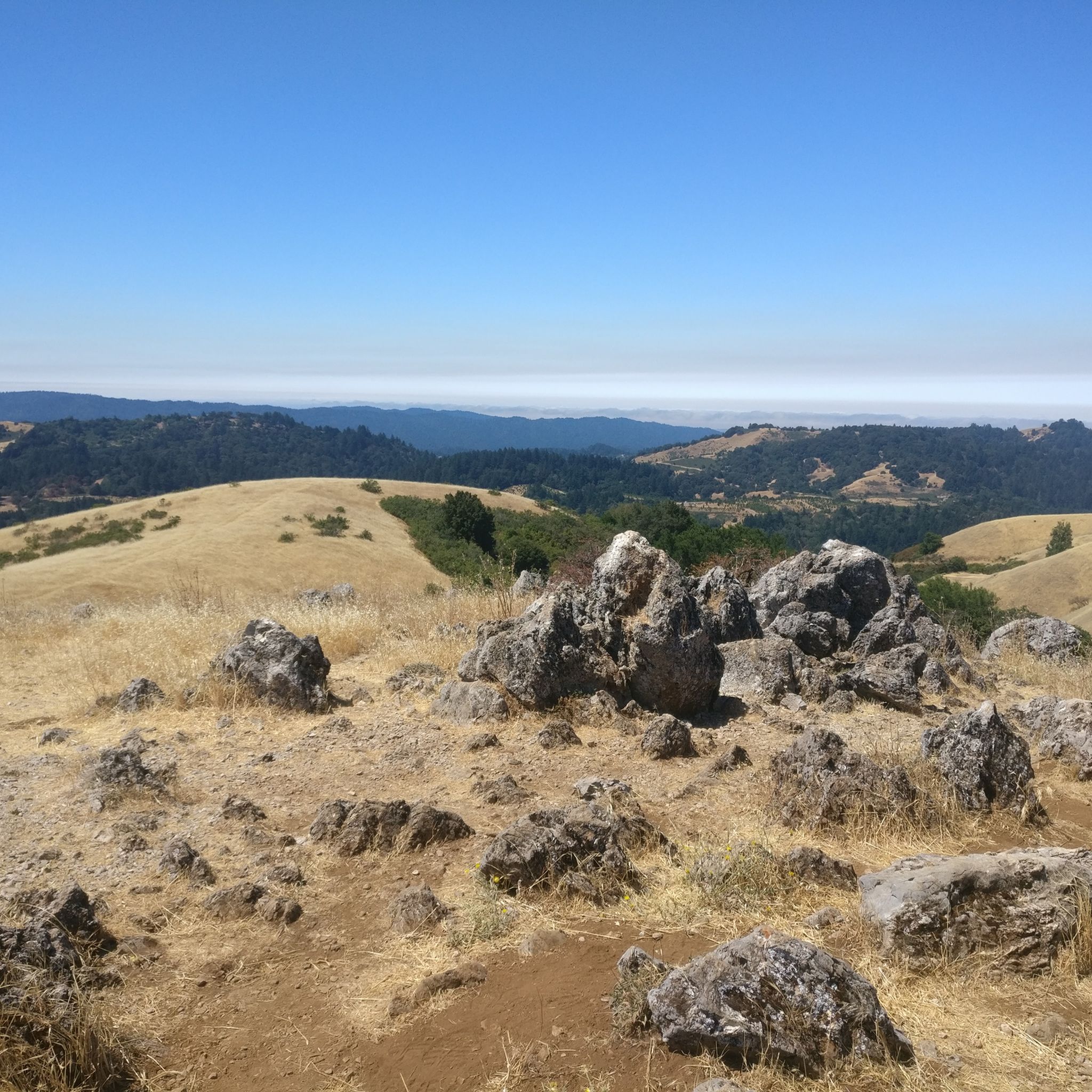
Great paved road that takes you through Picchetti Ranch Open Space Preserve. On clear days, there are great views of the Cupertino valley and the San Francisco Bay.
0
0

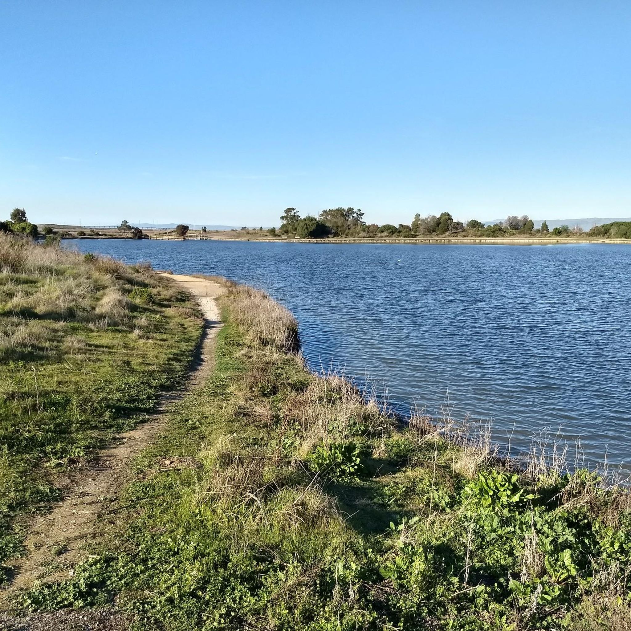
Stevens Creek Reservoir spans 87 acres and is surrounded by a 1,063-acre park. Visitors can enjoy hiking, horseback riding, picnicking, and limited fishing. Seasonal boating for low-power boats is available from mid-April to mid-October. The park is open daily from 8 a.m. to sunset, with vehicle entry fees collected year-round at the Chestnut Parking Lot. Visitors can explore natural beauty and historic remnants like the Villa Maria orchard.
1
0

Alameda de las Pulgas Road has consistent traffic but features a good bike lane for safe cycling. The route is straightforward and flat, it works for a smooth ride through the area.
0
0
Gerona Road area is quiet and residential; it is also flat, well-paved and surrounded by some cool trees. Perfect for an easy ride.
0
0

This beautiful winery and concert venue offers breathtaking views of the bay. Formerly known as the Paul Masson Mountain Winery, it is famous for its slogan, delivered by Orson Welles: “We will sell no wine before its time.” This stunning location is worth a visit!
0
0

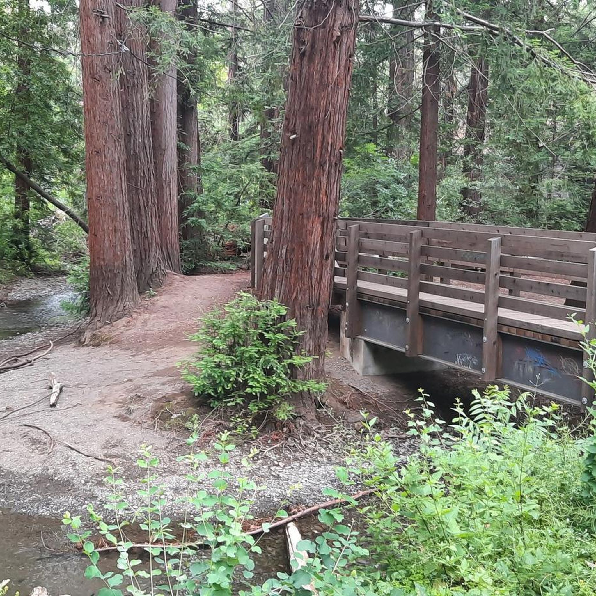
Boronda Lake features a couple scenic picnic areas with piers out over the water. A small arched bridge leads out to Sunfish Island from a trail on the side of the lake opposite the road. This is great place from which to enjoy beautiful Foothills Nature Preserve.
0
0
Frequently Asked Questions
How many touring cycling routes are available in Los Altos?
Los Altos offers a variety of touring cycling routes, with over 25 options available on komoot. These routes cater to different skill levels, from easy rides to challenging climbs.
What is the overall difficulty level of touring cycling routes in Los Altos?
The routes in Los Altos offer a diverse range of difficulties. You'll find 7 easy routes, 16 moderate routes, and 5 difficult routes, ensuring options for cyclists of all experience levels. The terrain includes rolling hills and significant climbs, especially towards the Santa Cruz Mountains.
What do other cyclists say about touring cycling in Los Altos?
The touring cycling routes in Los Altos are highly rated by the komoot community, with an average score of 4.6 stars from over 100 reviews. Cyclists often praise the varied terrain, scenic views, and the opportunity to explore both urban and natural landscapes.
Are there any circular touring cycling routes in Los Altos?
Yes, many touring cycling routes in Los Altos are designed as loops. For example, the Stevens Creek Reservoir – Black Mountain loop from Saint Francis High School offers a challenging 30-mile ride with significant elevation gain. Another option is the Stevens Creek Reservoir – Stevens Creek Reservoir loop from Rancho San Antonio County Park, which provides views of the reservoir.
What are some scenic landmarks or natural features I can see along the touring cycling routes?
Los Altos touring cycling routes offer access to various scenic landmarks and natural features. You can cycle alongside creeks like Adobe Creek and Stevens Creek, or enjoy views of the Santa Cruz Mountains. Notable points of interest include Black Mountain, Borel Hill, and the View from Maisie's Peak. The Palo Alto-Los Altos Bike Path also offers scenic views.
Are there any easy touring cycling routes suitable for beginners or families?
Yes, Los Altos has 7 easy touring cycling routes. While specific family-friendly routes are not detailed in the data, the presence of paths like the Stevens Creek Trail and the Palo Alto-Los Altos Bike and Pedestrian Path suggests options for less strenuous rides. The Boronda Lake – Adobe Creek loop from Los Altos is a moderate route that passes through areas near Boronda Lake and Adobe Creek, which might be suitable for those looking for a less challenging experience.
What are some challenging touring cycling routes for experienced riders?
For experienced touring cyclists seeking a challenge, Los Altos offers 5 difficult routes. The Stevens Creek Reservoir – Black Mountain loop from Saint Francis High School is a demanding 30-mile route with over 3,000 feet of elevation gain. Another difficult option is the Stevens Creek Reservoir – Stevens Creek Reservoir loop from Rancho San Antonio County Park, covering 17.1 miles with significant climbing.
Are there any routes that pass through parks or preserves?
Yes, several routes traverse or are near parks and open space preserves. The Stevens Creek Reservoir – Stevens Creek Reservoir loop from Rancho San Antonio County Park passes through protected open space. Rancho San Antonio County Park and Open Space Preserve itself offers extensive trails. The Redwood Grove Nature Preserve also features walking trails that wind through towering redwoods.
What is the best time of year to go touring cycling in Los Altos?
Los Altos generally enjoys a mild climate, making touring cycling enjoyable for much of the year. Spring offers vibrant wildflowers, while the dry summer and fall months are excellent for clear skies and comfortable temperatures. Winter can bring rain, but many days remain suitable for cycling.
Are there any specific viewpoints along the touring cycling routes?
Yes, the region's rolling hills and proximity to the Santa Cruz Mountains provide several viewpoints. You can find expansive views of Silicon Valley and the San Francisco Bay from elevated positions. Specific highlights include the View from Maisie's Peak and Turtle Rock Viewpoint.
Are there paved bike trails in Los Altos?
Yes, Los Altos offers paved bike trails suitable for touring cycling. The Palo Alto-Los Altos Bike Path, also known as the Hetch Hetchy Trail, is well-maintained and provides a scenic, paved option. The Stevens Creek Trail also offers a safe, scenic path connecting Los Altos with surrounding areas.
Where can I find parking for touring cycling routes in Los Altos?
Many touring cycling routes in Los Altos start from locations with available parking. For example, routes like the Stevens Creek Reservoir – Black Mountain loop often begin near schools or parks that may offer parking facilities. Rancho San Antonio County Park is another common starting point with parking for cyclists.
Most popular routes around Los Altos
Most popular attractions around Los Altos

Get inspired with the komoot mobile app


Explore more
Browse the best Cycling routes in other regions.
