The best road cycling routes around Corona
4.4
(21)
921
riders
21
rides
Road cycling routes around Corona, California, are set amidst the foothills of the Santa Ana Mountains, offering diverse terrain for cyclists. The region features scenic hills and mountains, including proximity to the Cleveland National Forest, providing varied topography. The Santa Ana River Canyon also contributes to the unique geography, creating pathways for cycling routes. This blend of natural features allows for both challenging climbs and more moderate rides.
Best road cycling routes around Corona
- The most popular road cycling route…
Last updated: October 13, 2026
3.0
(1)
227
riders
Moderate road ride. Good fitness required. Some segments of this route may be unpaved and difficult to ride.
4.0
(2)
37
riders
Moderate road ride. Good fitness required. Mostly well-paved surfaces and easy to ride.

19
riders
49.8km
02:14
140m
140m
Moderate road ride. Good fitness required. Mostly well-paved surfaces and easy to ride.
13
riders
20.8km
01:06
100m
100m
Easy road ride. Great for any fitness level. Mostly well-paved surfaces and easy to ride.
13
riders
54.8km
02:23
320m
320m
Moderate road ride. Good fitness required. Mostly well-paved surfaces and easy to ride.
Get access to more routes and recommendations from other explorers.
Already have an account?
Our route recommendations are based on thousands of hikes, rides, and runs completed by other people on komoot.
Start today with a free account
Your next adventure awaits.

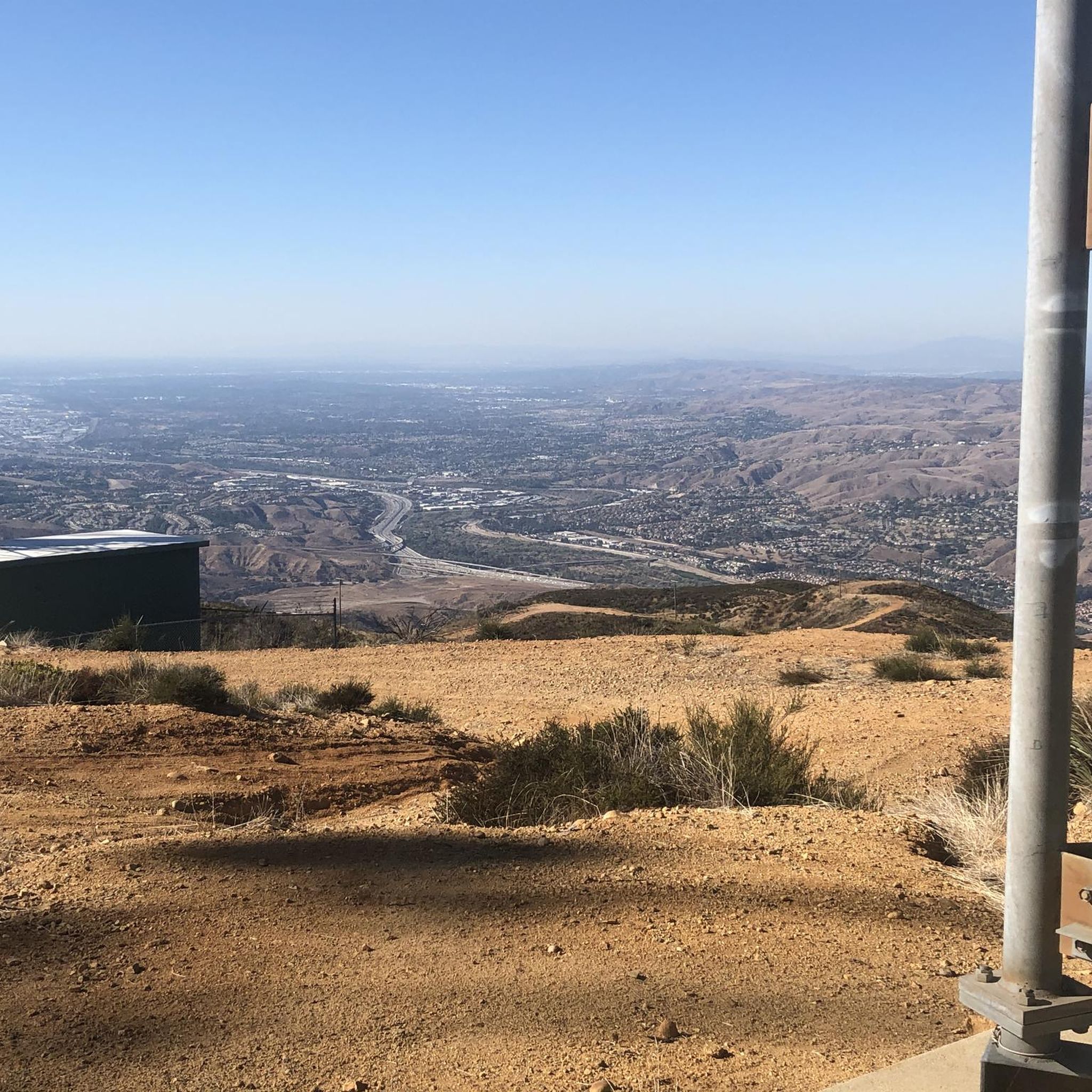
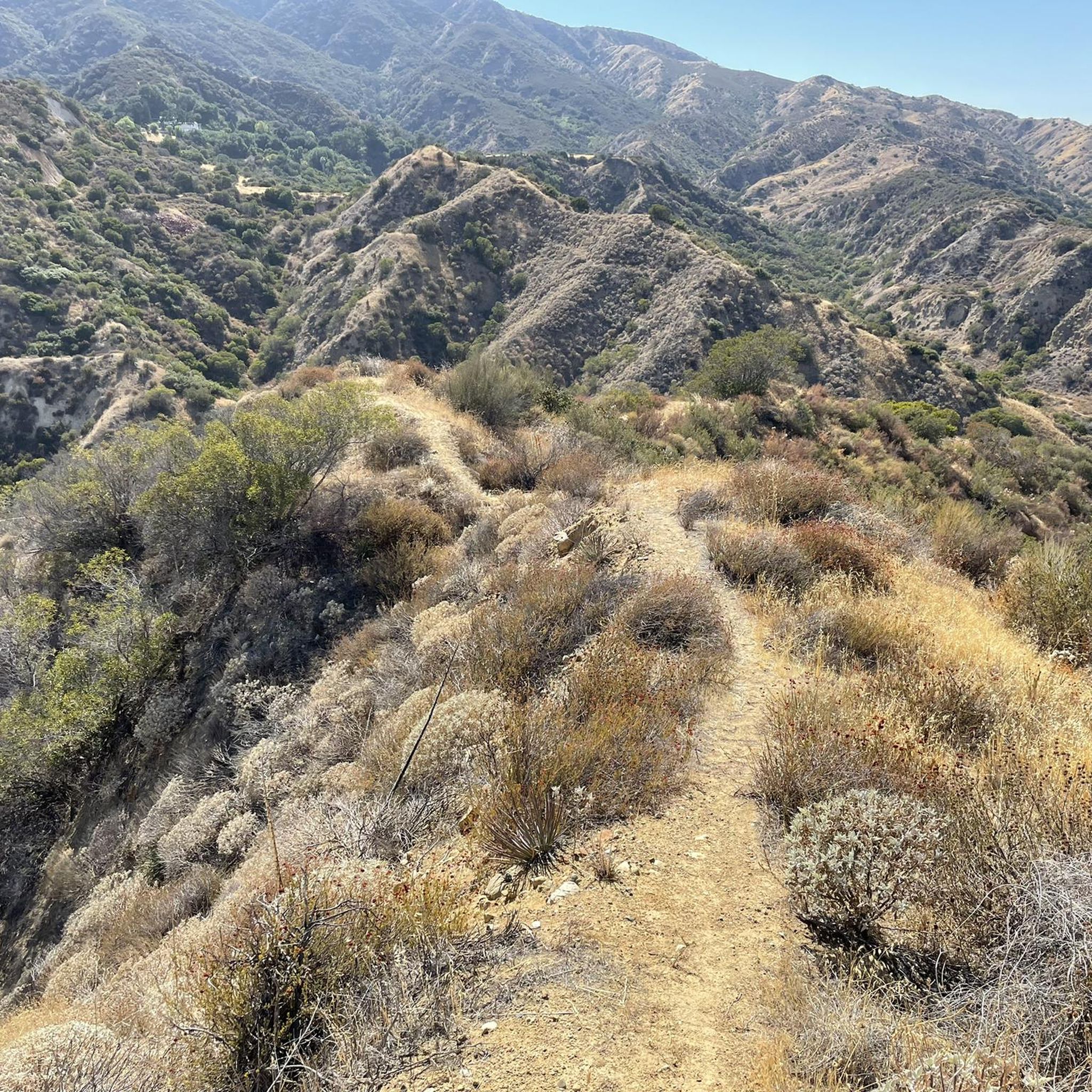
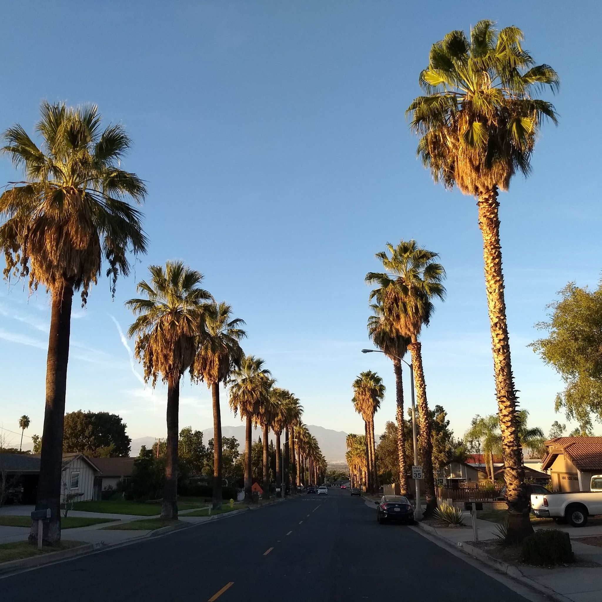
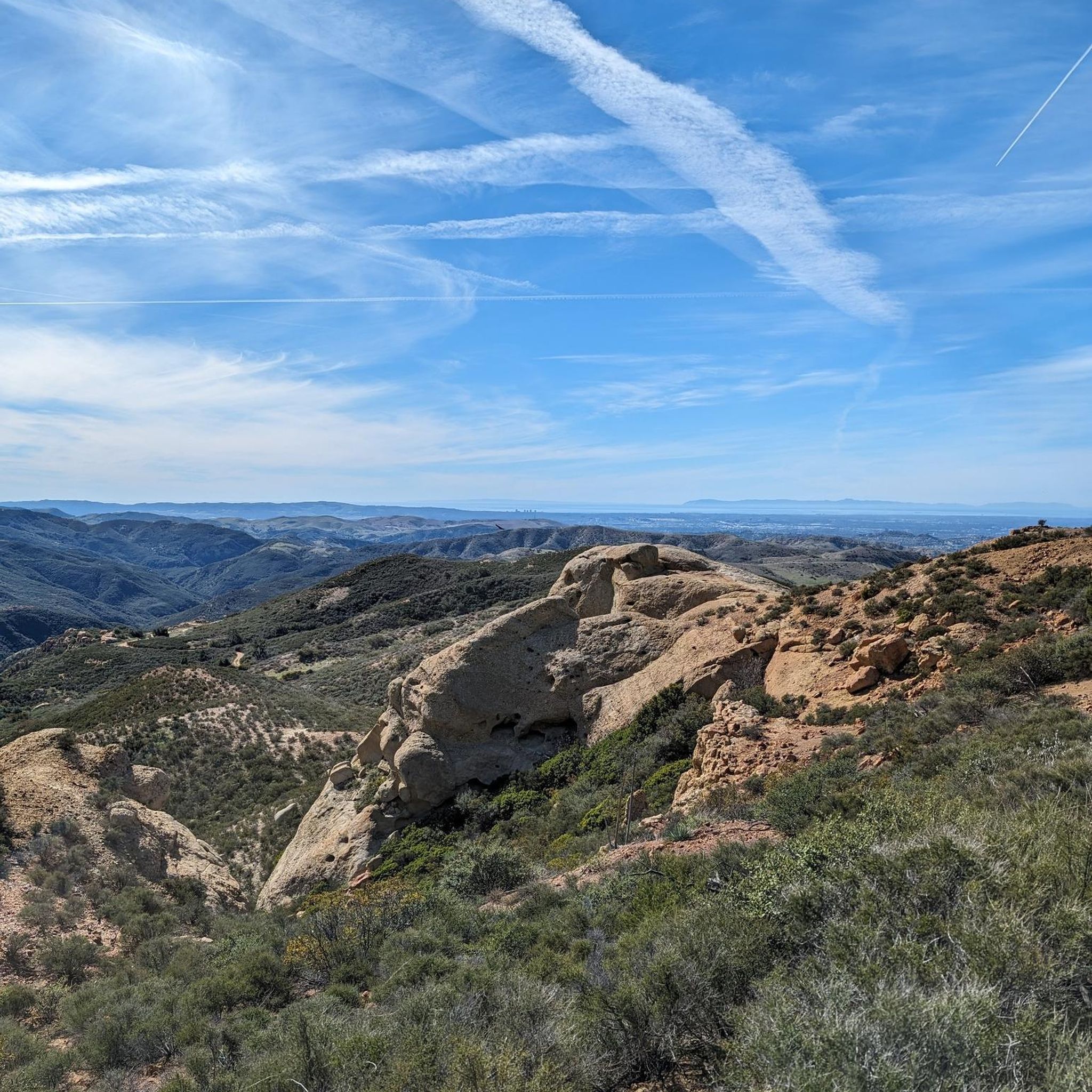

Other adventures around Corona

Tips from the Community

The climb from imperial to cannon is no joke but it’s a short walk to the top so bring flipflops😀.
0
0

This smooth, paved, two-lane multi-use path takes you through the heart of Hidden Valley. The views from this part of the park are quite special.
0
0

Chino Airport sits among flat asphalt roads, and you can loop around it for a fun stop mid-ride. It’s quiet, and you might catch small planes taking off while you rest. There’s also an aircraft museum nearby with historic planes and cars—entry is $15 if you feel like exploring.
0
0

Bring plenty of water. There only are water fountains midway in Anaheim.
0
0

This view of Sierra Peak showcases one of the highest and most easily identifiable peaks in northern Orange County. It stands at 3,045 feet above sea level.
1
0

Nice wooden bridge along the Santa Ana River Trail. It takes you over the river and gives you a good view of the water.
1
0
Angel Stadium of Anaheim is the home of the Los Angeles Angels of Anaheim. The Santa Ana River Trail passes right by the stadium, so you get a great view. As you can imagine, it can get pretty busy on the trail on a game day.
1
0
Bike along the Santa Ana River Trail for a fantastic view of Angel Stadium’s iconic “Big A” sign, a 230-foot-tall landmark that originally served as the stadium's scoreboard. The halo atop the sign lights up after every Angels victory, glowing even brighter for home wins. Be sure to avoid the surrounding streets on game days, as the area can get crowded.
1
0
Frequently Asked Questions
How many road cycling routes are available around Corona?
Komoot offers a selection of 15 road cycling routes around Corona, catering to various skill levels. This includes 3 easy routes, 11 moderate routes, and 1 difficult route, ensuring options for every cyclist.
What kind of terrain can I expect on road cycling routes in Corona?
Road cycling routes in Corona offer diverse terrain, from the relatively flat and continuous path of the Santa Ana River Trail to the challenging ascents in the foothills of the Santa Ana Mountains. You'll find a mix of scenic hills, mountain views, and routes along the Santa Ana River Canyon.
What is the best time of year for road cycling in Corona?
Corona experiences a warm Mediterranean climate, making road cycling accessible for much of the year. Winters are generally mild and pleasant, with average highs in the mid to upper 60s. While summers can be hot, early mornings or late afternoons can still offer enjoyable rides.
Are there road cycling routes suitable for beginners in Corona?
Yes, Corona offers several routes suitable for beginners. For instance, the Roadbike loop from Santa Ana River Trail Parking is a moderate 14.6-mile trail that is often completed in about 1 hour 15 minutes, providing a good option for those looking for a less strenuous ride.
Where can I find challenging road cycling routes in Corona?
For cyclists seeking a challenge, the region offers routes with significant elevation gains, particularly in the areas closer to the Santa Ana Mountains. The Madrugada Trail loop from California Institution for Women, for example, features notable elevation gain over its 26.1 miles, characteristic of the area's hilly landscape.
What scenic views can I expect on road cycling routes in Corona?
Many routes offer stunning panoramic views of Corona and the surrounding valleys, including the Santa Ana Mountains and, on clear days, even the ocean and Catalina Island. The Santa Ana River Trail provides diverse scenery along the river, while routes like the View of Sierra Peak – Santa Ana River loop from Corona–West offer glimpses of prominent peaks.
Are there any notable landmarks or attractions along the road cycling routes?
Yes, you can encounter several interesting points. For example, the Santa Ana River Trail itself is a significant feature, and you might pass by areas like Santa Ana River Trail at Yorba Regional Park. Other natural landmarks in the broader region include Pumpkin Rock and various viewpoints like Hidden Valley Viewpoint.
Are there routes that feature waterfalls?
While not directly on every road cycling route, the region around Corona is home to natural attractions like Black Star Falls, which can be explored as a side trip or incorporated into a longer adventure.
Are there circular road cycling routes in Corona?
Many of the road cycling routes around Corona are designed as loops, allowing you to start and end at the same point. Examples include the popular Santa Ana River Trail Bridge – Angel Stadium loop from Santa Ana River Trail Parking and the Roadbike loop from Santa Ana River Trail Parking.
What do other road cyclists enjoy the most about road cycling in Corona?
The road cycling routes in Corona are highly rated by the komoot community, with an average score of 4.5 stars from over 10 reviews. Cyclists often praise the varied terrain, from the continuous paths of the Santa Ana River Trail to the challenging climbs in the hills, and the scenic views of the surrounding landscapes.
Are there long-distance road cycling options in Corona?
Yes, for those looking for longer rides, the Santa Ana River Trail is a cornerstone for cycling in Corona, offering a continuous path that spans several counties. A notable route is the Santa Ana River Trail Bridge – Angel Stadium loop from Santa Ana River Trail Parking, which covers 32.8 miles.
Is parking available at the trailheads for road cycling routes?
Many popular road cycling routes in Corona, especially those utilizing the Santa Ana River Trail, offer designated parking areas. For instance, the Santa Ana River Trail Bridge – Angel Stadium loop starts from a dedicated parking area, making access convenient for cyclists.
Most popular attractions around Corona

Get inspired with the komoot mobile app


Explore more
Browse the best Road cycling routes in other regions.
