The best walks and hikes around Moreno Valley
4.8
(24)
331
hikers
27
hikes
Hiking around Moreno Valley explores a landscape characterized by rugged mountains, granite rock formations, coastal sage scrub, and chaparral. The area features diverse terrains, from challenging mountain ascents to flatter lakeside paths. Trails often lead to viewpoints overlooking Moreno Valley and the surrounding Inland Empire. Key areas for hiking include Box Springs Mountain Park and the Lake Perris State Recreation Area.
Best hiking trails around Moreno Valley
- The most popular hiking route is Box Spring Peak — Box Spring Mountain…
Last updated: August 18, 2026
2
hikers
8.68km
03:00
480m
480m
Hike the moderate 5.4-mile Terri Peak Loop Trail in Lake Perris State Recreation Area for panoramic views and a challenging climb.
1
hikers
14.5km
04:41
680m
470m
Hike the M Trail and Two Trees Trail Loop for a moderate 9.0-mile adventure with panoramic views and a chance to spot wild donkeys.

Sign up for free
1
hikers
10.1km
03:04
390m
190m
Hike Box Springs Mountain for a moderate 6.3-mile route with 1290 feet of elevation gain, offering panoramic views of Riverside and Moreno V
6.93km
01:53
100m
110m
Embark on an easy hike around Lake Perris, starting from Avalon Avenue, and discover a landscape rich with diverse scenery. As you follow the path, you will encounter open scrubland,…
3.40km
01:06
230m
40m
Embark on the easy Terri Peak Trail, a 2.1-mile (3.4 km) hike that offers quick access to scenic views. You will gain 744 feet (227 metres) in elevation over approximately…
Get access to more routes and recommendations from other explorers.
Sign up for free
Already have an account?
Our route recommendations are based on thousands of hikes, rides, and runs completed by other people on komoot.
Start today with a free account
Your next adventure awaits.
Login or Signup
Tips from the Community

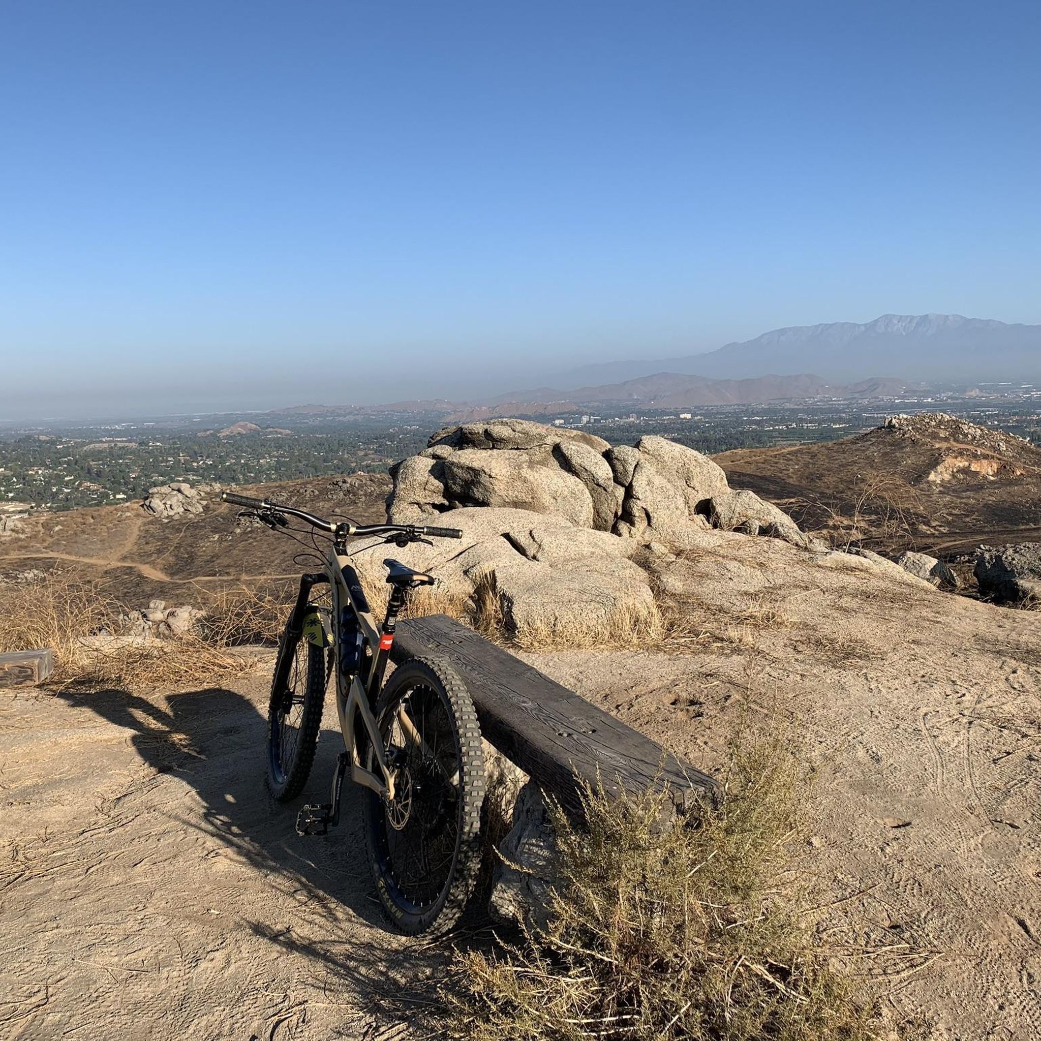
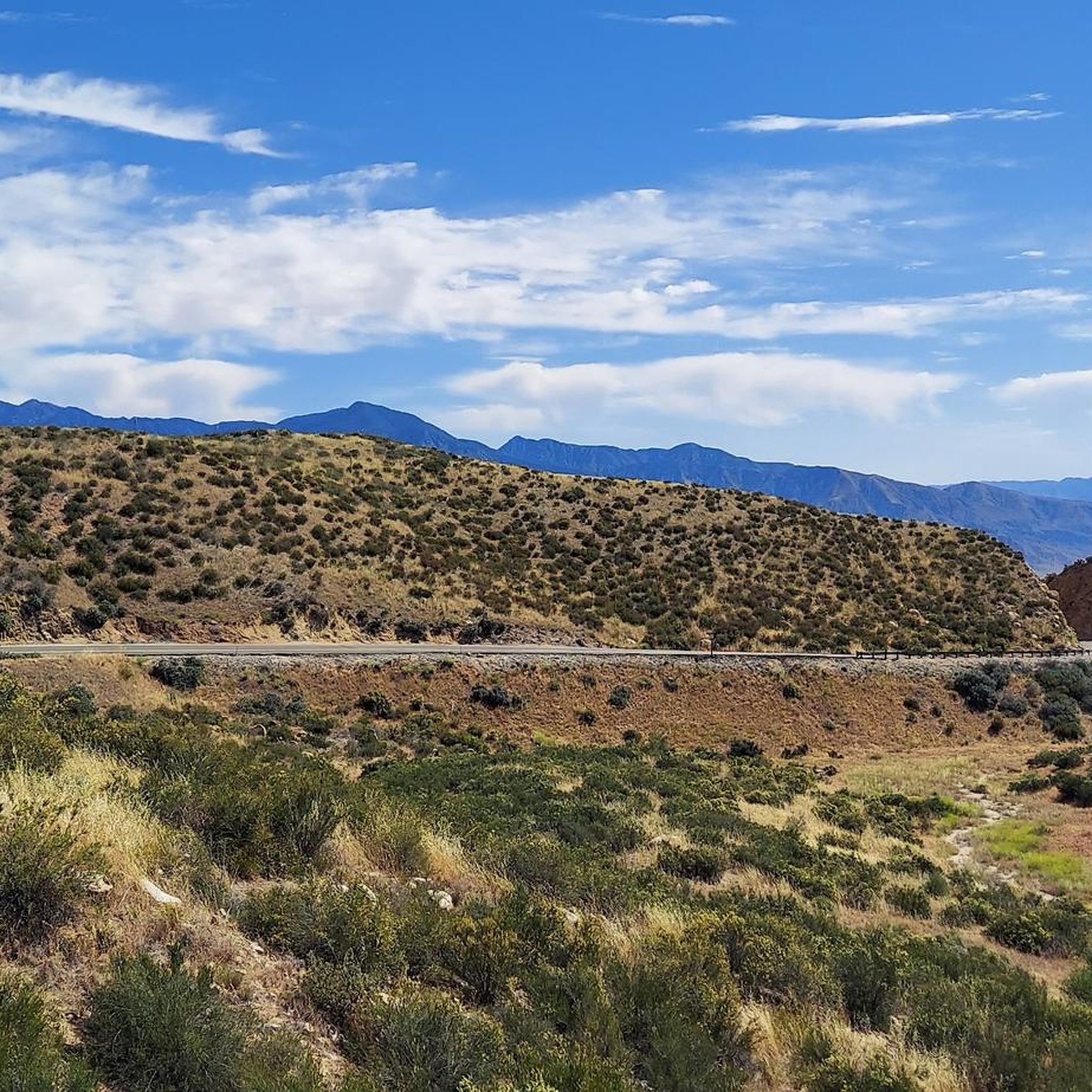
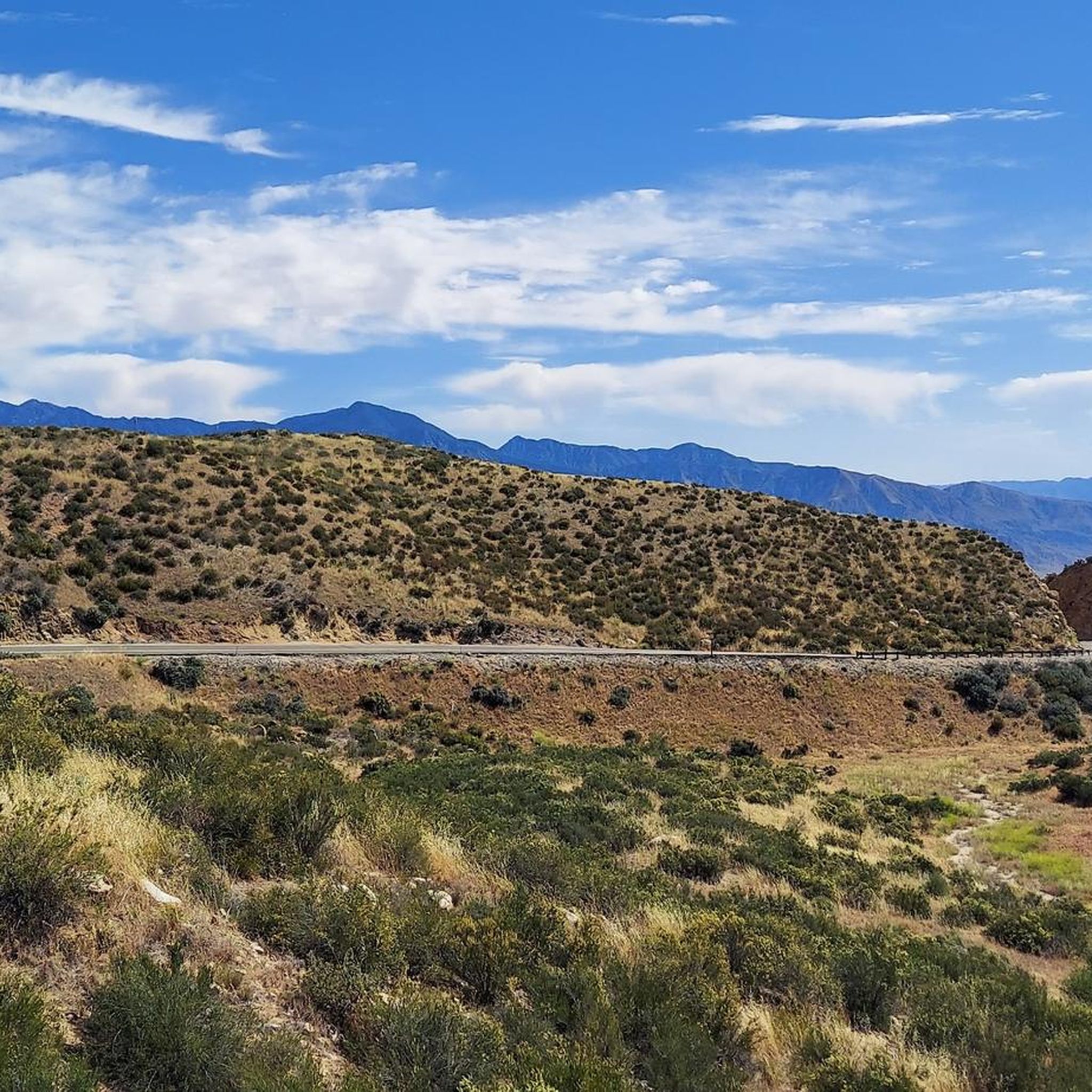
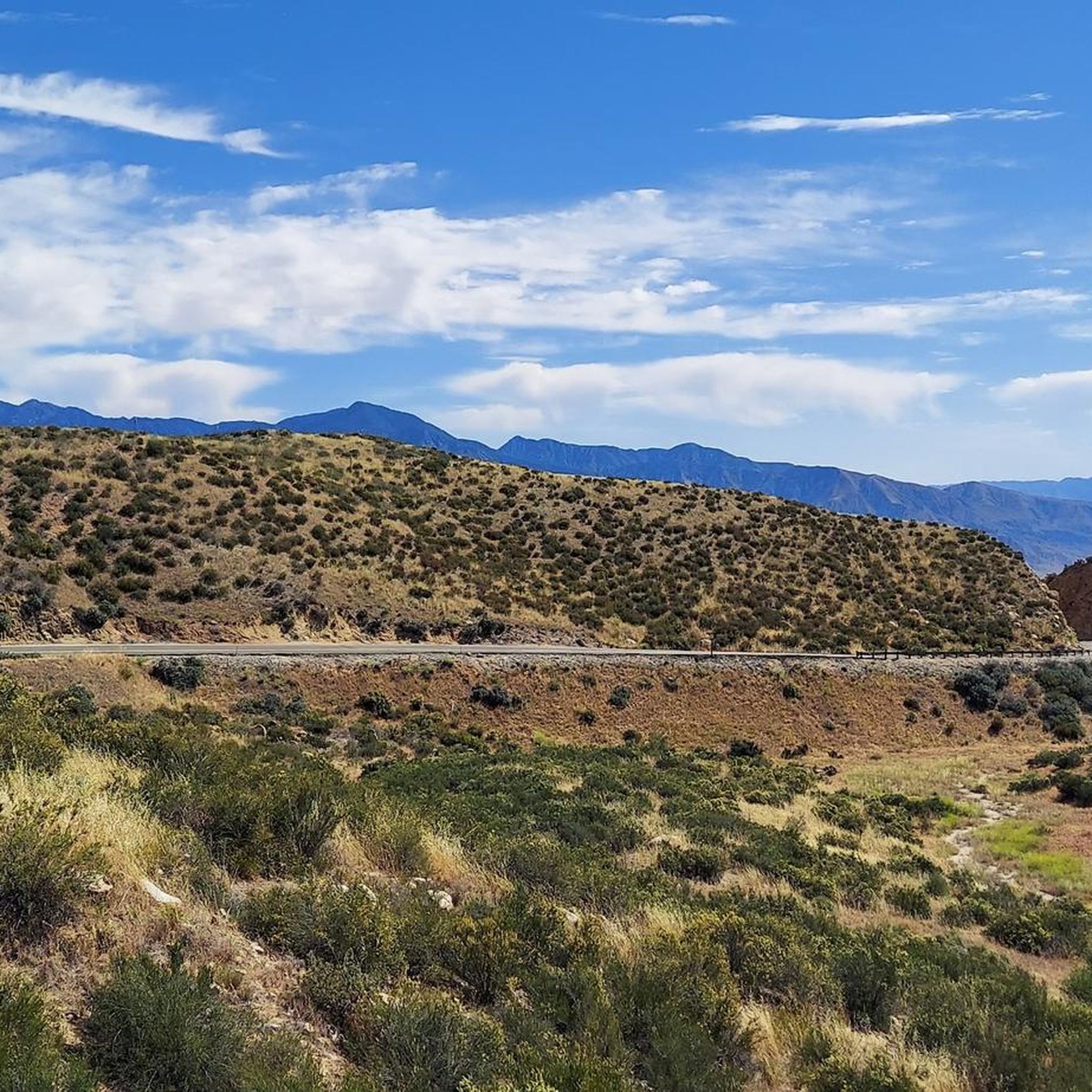
Terri Peak certainly offers one of the best views of the nearby Lake Perris and its surrounding hills. The hike to the top of the mountain includes some inclines but isn't very tough, even though you won't find much shade along the path.
0
0

Box Springs Mountain Reserve is located on 3,400 beautiful acres of land that overlook the cities of Riverside and Moreno Valley. The Reserve once was covered in dense Coastal Sage Scrub, but recent wildfires have allowed non-native grasses to thrive. Visitors should be conscious of their activities while visiting the Reserve in order to protect wildlife and their delicate ecosystem.
0
0
Frequently Asked Questions
Are there any easy, family-friendly hikes in Moreno Valley?
Yes, the area offers several easier trails perfect for a family outing. For a relatively flat walk with interesting scenery, consider the Sycamore Canyon Trail loop. It's a pleasant route through a wilderness park that's manageable for most fitness levels.
Can I bring my dog on the trails?
Many trails in the Moreno Valley area are dog-friendly, but policies can vary between parks. Dogs are generally permitted in Box Springs Mountain Park and on the trails around Lake Perris, provided they are kept on a leash. Always check the specific regulations for the park you plan to visit and be sure to bring enough water for your canine companion, especially during warmer months.
What are the best trails for great views?
For panoramic views of Moreno Valley and the wider Inland Empire, the trails in Box Springs Mountain Park are your best bet. The hike to the highly-regarded Moreno Valley M landmark is a local favorite for its rewarding vistas. Another excellent option for scenic overlooks is the Terri Peak loop, which provides a stunning perspective over Lake Perris.
Are there any challenging hikes in the area?
Yes, for those seeking a more strenuous workout, the ascent to Box Spring Peak offers a significant elevation gain and a rewarding challenge. The trails in Box Springs Mountain Park generally feature steeper climbs compared to the flatter paths around the lake.
What kind of wildlife might I see while hiking?
The natural areas around Moreno Valley are home to a variety of wildlife. In Box Springs Mountain Park, it's not uncommon to spot mule deer, coyotes, and various birds of prey like red-tailed hawks. The park is also known for its population of wild burros (donkeys), which are a popular sight. Near Lake Perris, you're more likely to see waterfowl such as ducks and geese.
What is the best time of year to hike in Moreno Valley?
Spring and fall offer the most pleasant hiking conditions with moderate temperatures. Spring is particularly beautiful, as the hillsides are often covered in wildflowers, especially around Lake Perris. Summers can be very hot, so if you hike during this time, it's crucial to start early in the morning and carry plenty of water. The Two Trees Trail is one that locals specifically recommend avoiding in the summer heat.
Are there any long, circular walks?
Yes, if you're looking for a longer loop, the Lake Perris State Recreation Area loop is an excellent choice. This trail is over 8 miles (13 km) and circles the entire lake, offering continuous water views with relatively little elevation gain.
What should I pack for a hike in Moreno Valley?
Regardless of the trail, you should always carry plenty of water, as the climate is dry and can get very hot. Sun protection is essential, so bring a hat, sunglasses, and sunscreen.
Sturdy hiking shoes are recommended, especially for the rocky and uneven terrain in Box Springs Mountain Park. It's also wise to have a map or use a navigation app, as some trail junctions can be confusing.
Are there any trails for horseback riding?
Yes, Moreno Valley has a strong equestrian community and many of the trails are multi-use. Both Box Springs Mountain Park and the Lake Perris State Recreation Area feature trails that are open to equestrians, offering varied terrain from mountain paths to lakeside tracks.
Where can I park for hikes in Box Springs Mountain Park?
There are several access points and parking areas for Box Springs Mountain Park. A main entrance is located on Box Springs Mountain Road. Parking is also available near the trailheads for popular routes. As it's a well-loved local spot, parking can fill up on weekends, so arriving earlier in the day is a good idea.
What do other hikers enjoy about the trails in Moreno Valley?
The area is highly rated by the komoot community, with an average score of 4.9 stars. Hikers often praise the stunning panoramic views from the peaks and the unique experience of encountering the wild burros in Box Springs Mountain Park. The well-maintained trails and the variety of landscapes, from rugged mountains to the serene lakeside, are also frequently mentioned as highlights.
Most popular attractions around Moreno Valley

Get inspired with the komoot mobile app


Explore more
Browse the best Hikes in other regions.
