The best road cycling routes around Hillsborough
4.6
(61)
3,530
riders
125
rides
Road cycling routes around Hillsborough offer diverse terrain, from scenic countryside roads to routes with significant elevation gain. The region features a mix of well-paved surfaces, greenways, and paths alongside natural features like the Eno River and San Andreas Lake. Cyclists can find paths that traverse rolling hills and forested areas, providing varied experiences for different fitness levels.
Best road cycling routes around Hillsborough
- The most popular road cycling route is Portola Valley – Junipero Serra Boulevard loop from San…
Last updated: July 9, 2026
5.0
(4)
462
riders
Moderate road ride. Good fitness required. Mostly well-paved surfaces and easy to ride.
5.0
(4)
321
riders
96.2km
04:32
1,260m
1,260m
Hard road ride. Very good fitness required. Mostly well-paved surfaces and easy to ride.

Sign up for free
5.0
(4)
118
riders
41.6km
01:52
410m
410m
Moderate road ride. Good fitness required. Mostly well-paved surfaces and easy to ride.
38
riders
79.5km
03:50
1,010m
1,010m
Hard road ride. Very good fitness required. Mostly well-paved surfaces and easy to ride.
5.0
(3)
40
riders
Easy road ride. Great for any fitness level. Mostly well-paved surfaces and easy to ride.
Get access to more routes and recommendations from other explorers.
Sign up for free
Already have an account?
Our route recommendations are based on thousands of hikes, rides, and runs completed by other people on komoot.
Start today with a free account
Your next adventure awaits.
Login or Signup

Tips from the Community

Caltrain is bike friendly. Read on their website how to do it, then hopon, got to San Jose or San Francisco and ride around there. It makes a great day.
0
0
A fun, pretty place to stop while riding Cañada road. I has water and an air pump and bathrooms. Take a photo with friends.
0
0

The station is small, and has a little park by the platform. The Burlingame Hillsborough History Museum is contained within the station, which is historic in its own right. Be sure to check out the exhibits for photographs and stories of the town's past.
0
0
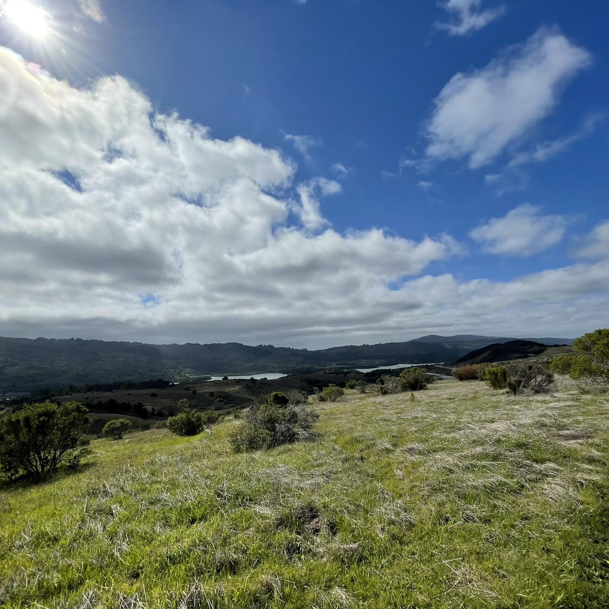
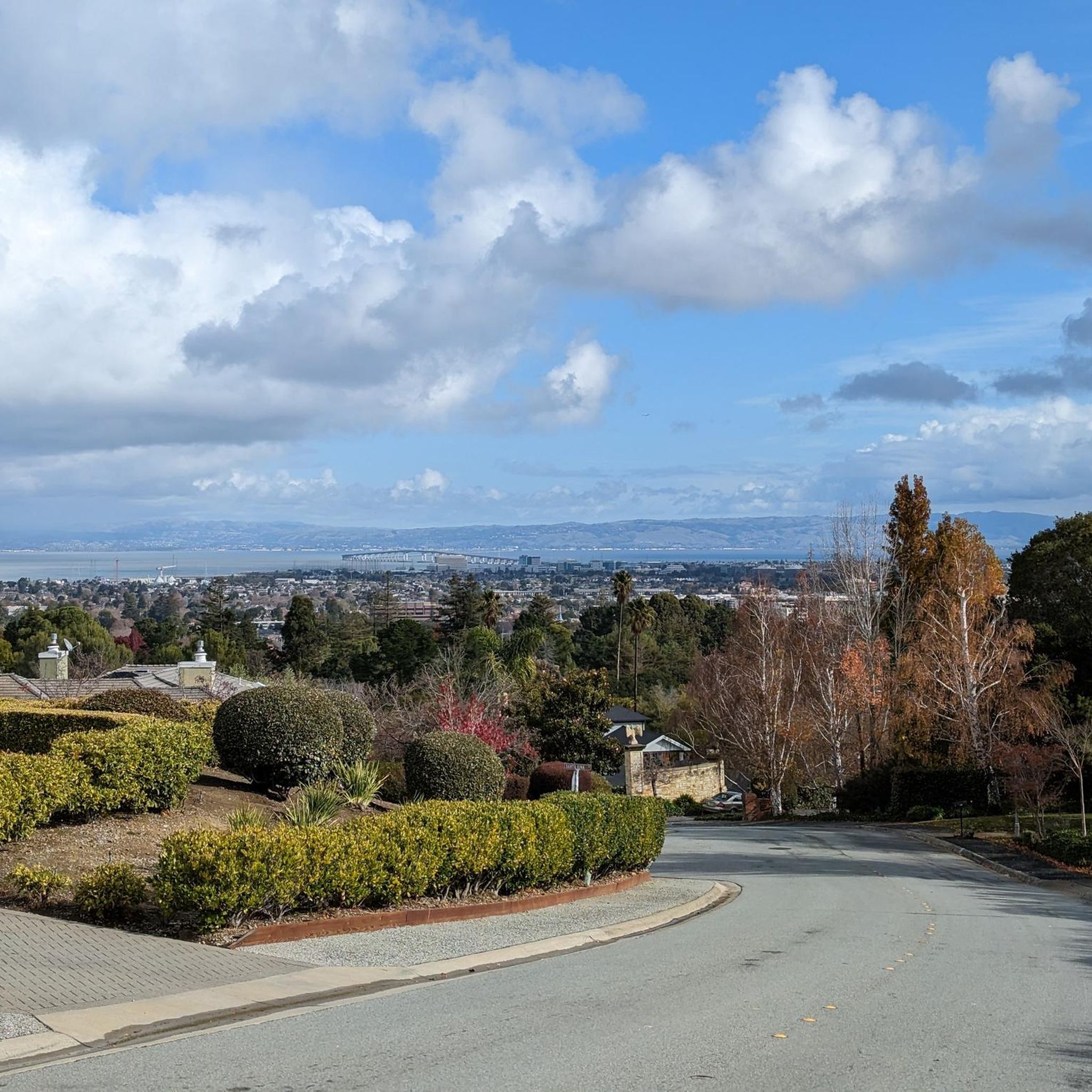
Looking northeast down the hill, on a clear day you can see all the way out across San Francisco Bay to Mount Diablo.
0
0

Lower Crystal Springs Reservoir is part of the Crystal Springs Reservoir system, and provides water to the San Francisco Bay Area. The area surrounding the reservoir is rich in biodiversity, home to rare and endangered species like the San Mateo thornmint and the Marin Dwarf Flax. While recreational activities on the water are restricted to protect the watershed, the adjacent Crystal Springs Regional Trail offers scenic views for hikers and cyclists.
0
0
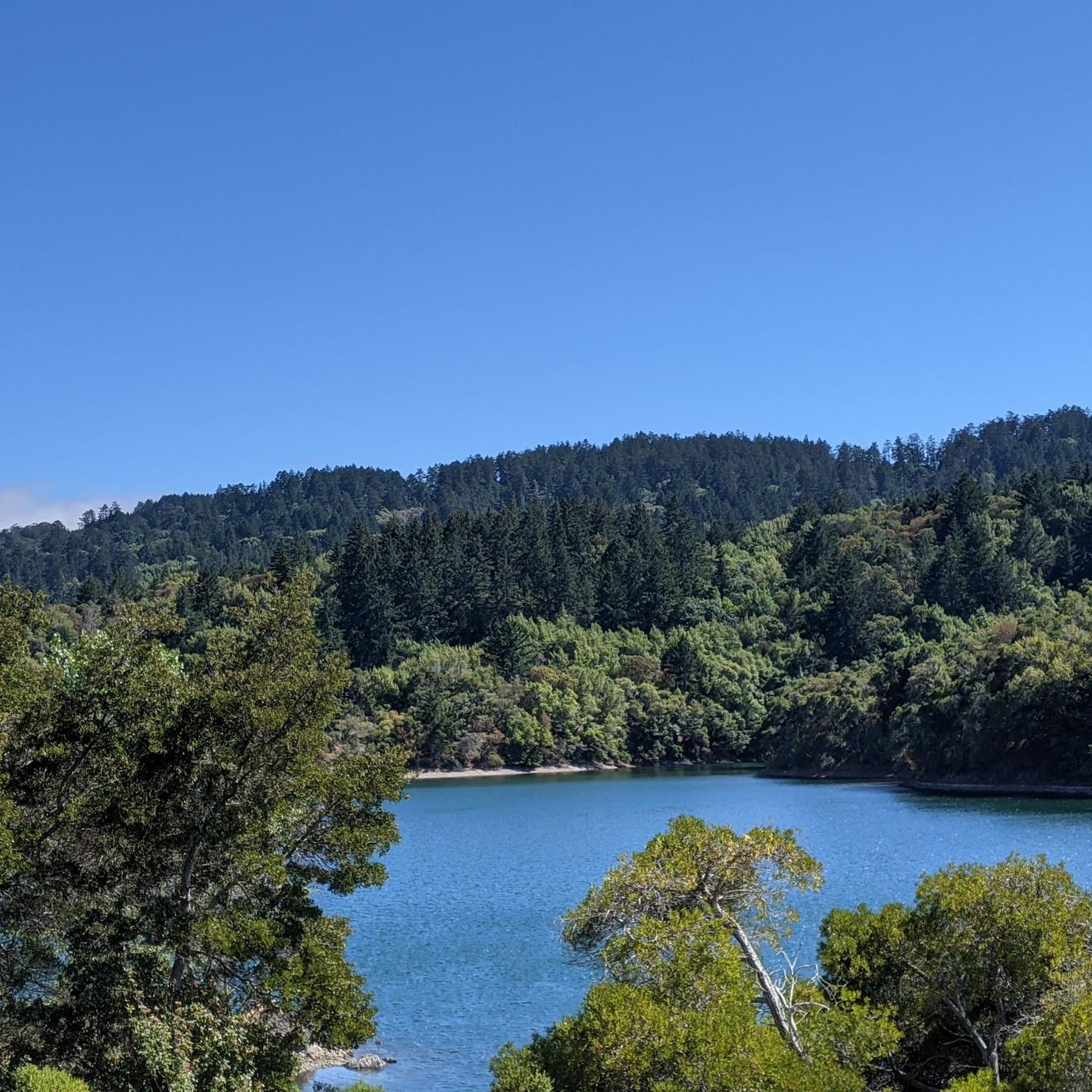
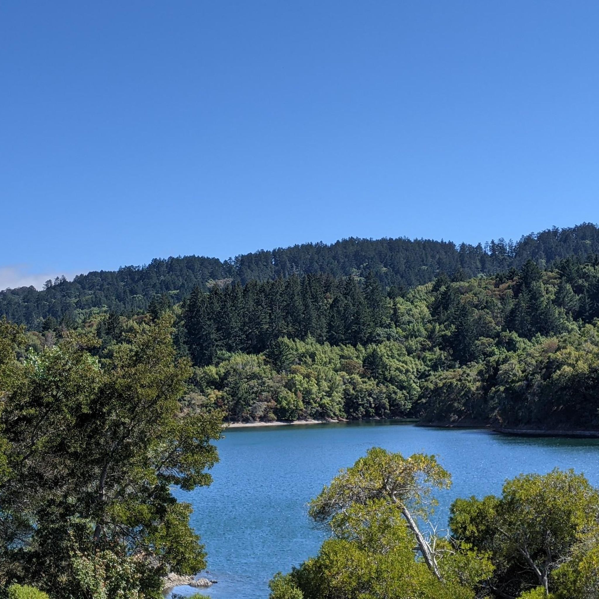
San Andreas Lake is a hidden gem tucked into the hills of San Mateo County, just south of San Francisco. Originally a natural sag pond formed by the San Andreas Fault, it was transformed into a reservoir in the late 1800s and now serves as a vital water source for the region. The lake is off-limits for swimming or boating, but you can enjoy its peaceful beauty from the San Andreas Trail or the popular Sawyer Camp Trail, which runs along its eastern edge. It's a serene spot where you can walk or bike with sweeping views of the water and surrounding hills, all while standing right on one of the world’s most famous fault lines. Despite its proximity to urban life, San Andreas Lake offers a quiet, scenic escape steeped in natural and historical significance.
1
0

You're not hallucinating: This monument was deliberately built in the style of ancient Greek and Roman architecture, to commemorate the Great Depression-era Hetchy Hetchy Project that brought water down from the mountains to the Bay Area. The frieze says, “I give waters in the wilderness and rivers in the desert, to give drink to my people.”
1
0

Frequently Asked Questions
How many road cycling routes are available around Hillsborough?
There are over 140 road cycling routes around Hillsborough, offering a wide variety of experiences for different skill levels. The komoot community has explored these routes over 4000 times.
What kind of terrain can I expect on road cycling routes around Hillsborough?
Road cycling around Hillsborough features diverse terrain, including rolling hills, forested areas, and routes alongside natural waterways like San Andreas Lake and the Bay Trail. You'll find a mix of well-paved surfaces, with options ranging from challenging climbs to flatter sections suitable for more leisurely rides.
Are there road cycling routes suitable for beginners in Hillsborough?
Yes, Hillsborough offers over 60 easy road cycling routes. An excellent option for beginners is the Coyote Point Recreation Area – Bay Trail - Foster City Levee loop from Burlingame, which is 23.5 miles (37.9 km) long and features minimal elevation gain, making it a great choice for a relaxed ride along coastal areas.
Are there challenging road cycling routes for experienced cyclists in Hillsborough?
Absolutely. For experienced cyclists seeking a challenge, there are 16 difficult routes around Hillsborough. Consider the Pulgas Water Temple – Woodside Store (Historic Site) loop from San Mateo, a 66.6 km route with over 900 meters of elevation gain, providing a demanding ride through varied terrain.
What natural features can I see while road cycling around Hillsborough?
Many routes offer scenic views of natural features. You can cycle alongside beautiful bodies of water like San Andreas Lake, Lower Crystal Springs Reservoir, and Oracle Lagoon. Some routes also pass through forested areas and near coastal beaches such as Mirada Surf Beach.
Are there any notable landmarks or points of interest along the road cycling routes?
Yes, several routes pass by significant landmarks. The Pulgas Water Temple – Woodside Village Church loop from Broadway, for instance, takes you past the impressive Pulgas Water Temple, a historic and architectural landmark.
Are there circular road cycling routes around Hillsborough?
Yes, many road cycling routes in Hillsborough are designed as loops, allowing you to start and end at the same point. Examples include the Portola Valley – Junipero Serra Boulevard loop from San Mateo and the San Andreas Lake loop from Hillsborough.
What do other cyclists say about road cycling in Hillsborough?
The road cycling routes in Hillsborough are highly rated by the komoot community, with an average score of 4.6 stars from over 80 reviews. Cyclists often praise the varied terrain, scenic views, and the network's ability to cater to different ability levels.
Can I find routes with significant climbs around Hillsborough?
Yes, Hillsborough is known for its rolling hills and offers routes with substantial elevation gain. The Portola Valley – Junipero Serra Boulevard loop from San Mateo, for example, features over 790 meters of ascent, providing a good workout for those looking for climbs.
Are there family-friendly road cycling routes in Hillsborough?
While road cycling routes are generally less suited for very young children, many of the easier, flatter routes can be enjoyed by families with older children or those comfortable on bikes. The Coyote Point Recreation Area – Bay Trail - Foster City Levee loop from Burlingame is a good option due to its relatively flat profile and scenic coastal path.
Where can I find parking for road cycling routes in Hillsborough?
Many routes start from towns like San Mateo, Burlingame, or Hillsborough itself, where public parking is generally available. For routes like the Coyote Point Recreation Area – Bay Trail - Foster City Levee loop, parking can often be found near the Coyote Point Recreation Area.
Most popular attractions around Hillsborough

Get inspired with the komoot mobile app


Explore more
Browse the best Road cycling routes in other regions.
