The best road cycling routes around Entenfang
4.4
(769)
11,545
riders
212
rides
Road cycling routes around Entenfang are situated within the broader Mülheim an der Ruhr region, characterized by its proximity to the Ruhr and Rhine rivers. The terrain primarily consists of flat to gently rolling landscapes, with occasional moderate ascents such as the Esel Climb. This area features a mix of rural roads through fields, river-adjacent paths, and routes that pass by significant bridges and historical estates. The elevation changes are generally modest, making it suitable for various road cycling experiences.
Best road cycling routes around Entenfang
- The most popular road cycling route is The Esel Climb – View of the Ruhr Valley Bridge loop from Duisburg Entenfang, a 23.9 miles (38.4 km) trail that takes 1 hour 44 minutes to complete. This route features a notable climb and offers views of the Ruhr Valley Bridge.
- Another top favourite among local road cyclists is Mintard Bridge – Rural Road Through the Fields loop from Duisburg Entenfang, a moderate 18.9 miles (30.4 km) path. This route guides cyclists through rural fields and past the Mintard Bridge.
- Local road cyclists also love the Rhine Cycle Path at Stockum – Avenue at Heltorf Castle loop from Duisburg Entenfang, a 50.7 miles (81.5 km) trail leading through riverine landscapes and past Heltorf Castle, often completed in about 3 hours 24 minutes.
- Road cycling around Entenfang is defined by river paths, open fields, and routes crossing significant bridges. The network offers options for easy, moderate, and difficult ability levels.
- The routes in Entenfang are highly rated by the komoot community with an average score of 4.4 stars from over 600 reviews. More than 10,000 road cyclists have used komoot to explore Entenfang's varied terrain.
Last updated: July 7, 2026
26
riders
40.5km
01:51
240m
240m
Moderate road ride. Great for any fitness level. Some segments of this route may be unpaved and difficult to ride.
15
riders
Moderate road ride. Great for any fitness level. Some segments of this route may be unpaved and difficult to ride.

Sign up for free
20
riders
85.3km
03:29
210m
210m
Moderate road ride. Good fitness required. Some segments of this route may be unpaved and difficult to ride.
3
riders
103km
04:24
190m
190m
Moderate road ride. Good fitness required. Some segments of this route may be unpaved and difficult to ride.
5.0
(4)
61
riders
Moderate road ride. Good fitness required. Some segments of this route may be unpaved and difficult to ride.
Get access to more routes and recommendations from other explorers.
Sign up for free
Already have an account?
Our route recommendations are based on thousands of hikes, rides, and runs completed by other people on komoot.
Start today with a free account
Your next adventure awaits.
Login or Signup
Tips from the Community

you can ride in peace
0
0

View from Alsumer Berg on the Rhine.
0
0

The Protestant Forest Church of Linnep in Ratingen-Breitscheid (near Düsseldorf) is a historic, simple hall church dating from 1684, idyllically situated next to Linnep Castle. It was made possible by the then lord of the castle, Baron Vincent Schott von Isselstein, and is today known as a popular wedding church and for concerts.
1
0

A beautiful section through the forest with mostly good surface. Extremely fast riding is possible on both sides.
0
0

Nice overview of the regatta course
3
0

It's great that these old half-timbered houses are still so well maintained.
0
0


Beautiful castle complex that can also be viewed from the inner courtyard.
13
0
Frequently Asked Questions
How many road cycling routes are available around Entenfang?
There are over 200 road cycling routes around Entenfang, offering a wide variety of experiences. The komoot community has contributed 217 routes in total, catering to different skill levels.
Are there easy road cycling routes suitable for beginners in Entenfang?
Yes, Entenfang offers a good selection of routes for beginners. There are 31 easy road cycling routes, characterized by flat to gently rolling terrain, making them ideal for those new to road cycling or looking for a relaxed ride.
What kind of terrain can I expect on road cycling routes around Entenfang?
The terrain around Entenfang is primarily flat to gently rolling, with occasional moderate ascents like the Esel Climb. Routes often feature rural roads through fields, paths adjacent to the Ruhr and Rhine rivers, and sections passing by significant bridges and historical estates.
Are there any challenging road cycling routes for experienced riders?
For experienced riders seeking a challenge, Entenfang offers 11 difficult road cycling routes. These routes typically feature longer distances and more significant elevation changes, such as the Duisburg Regatta Course – Erprathsweg loop from Duisburg-Wedau Pbf, which covers over 125 km with more than 300 meters of elevation gain.
What are some notable landmarks or attractions I can see along the road cycling routes?
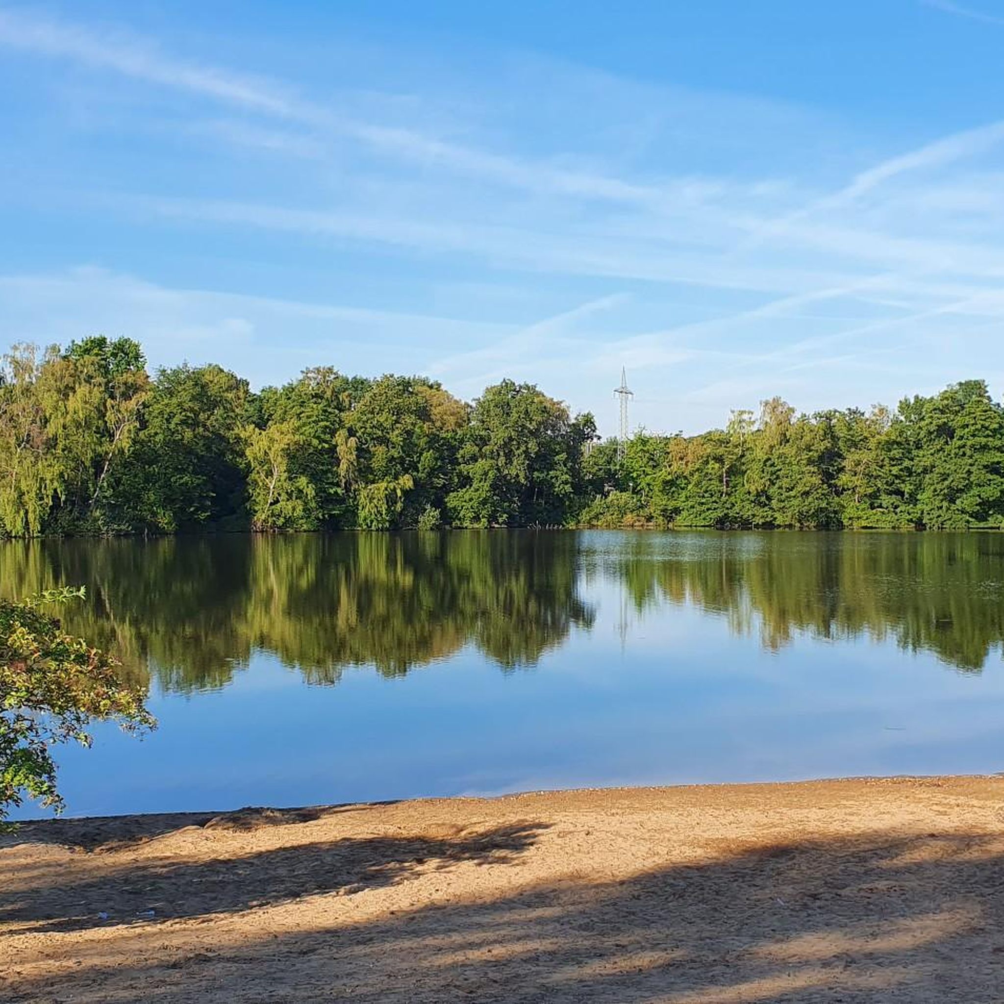
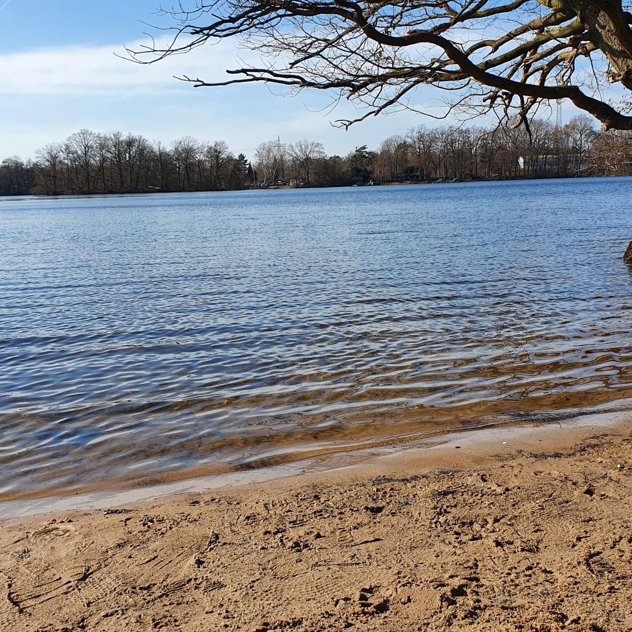
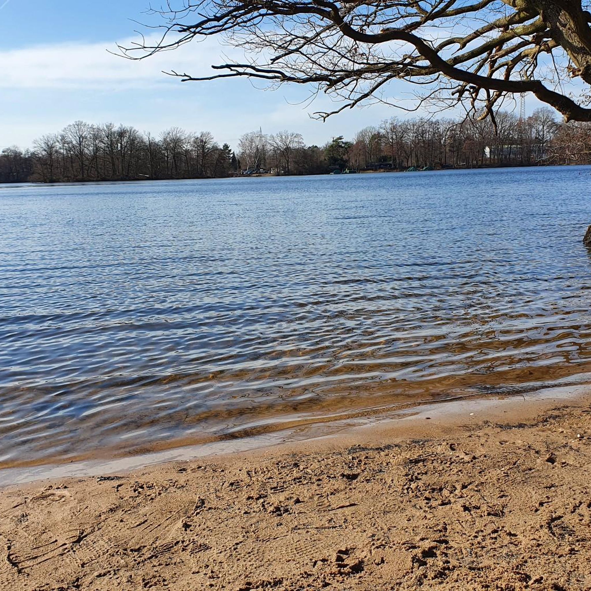
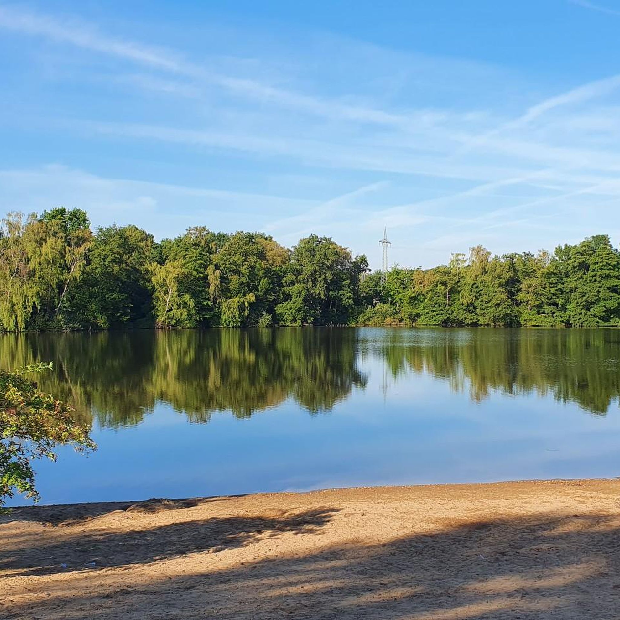
Many routes offer views of significant landmarks. You might pass by the Mintard Bridge, the Ruhr Valley Bridge, or even the historic Heltorf Castle. The area also features natural attractions like the Entenfang itself, the Entenfang Lake, and the Wambach inlet at Entenfang.
Are the road cycling routes around Entenfang typically circular?
Many of the popular road cycling routes around Entenfang are designed as loops, starting and ending in the same general area. Examples include The Esel Climb – View of the Ruhr Valley Bridge loop from Duisburg Entenfang and Mintard Bridge – Rural Road Through the Fields loop from Duisburg Entenfang, making them convenient for day trips.
What do other road cyclists say about the routes in Entenfang?
The road cycling routes in Entenfang are highly regarded by the komoot community, with an average rating of 4.4 stars from over 600 reviews. Cyclists often praise the varied terrain, the scenic river paths, and the well-maintained rural roads.
Are there any cafes or places to stop for refreshments along the routes?
Yes, you can find places to stop for refreshments. For instance, Jackie's Hangout at Entenfang and Jackie's Bike Tree are popular spots located near the Entenfang area, offering convenient breaks during your ride.
What is the best time of year for road cycling in Entenfang?
The region's generally mild climate makes road cycling enjoyable for much of the year. Spring and autumn offer pleasant temperatures and beautiful scenery, while summer provides longer daylight hours. Even in winter, many routes remain accessible, though conditions may vary.
Are there any long-distance road cycling options around Entenfang?
Yes, for those looking for longer rides, there are several options. The Druchter Weg – Airport Bridge loop from Duisburg Entenfang is a substantial route covering over 100 km, offering an extended exploration of the area.
How accessible is Entenfang for road cyclists using public transport?
Entenfang is well-connected within the Mülheim an der Ruhr region. Public transport options, including local trains and buses, typically allow for bicycle transport during off-peak hours, making it feasible to reach starting points without a car. It's advisable to check specific transport provider rules for bicycle carriage.
Where can I find parking for road cycling routes in Entenfang?
Parking is generally available at key access points around Entenfang and in nearby Duisburg. Many routes, being loops, often start from areas with designated parking facilities, especially near recreational zones or public parks. Specific parking details can often be found on individual route pages on komoot.
Most popular routes around Entenfang
Most popular attractions around Entenfang

Get inspired with the komoot mobile app


Explore more
Browse the best Road cycling routes in other regions.
