The 20 Most Amazing Peaks around San Jose
Best mountain peaks around San Jose, California, offer diverse terrain and panoramic views across the region. The area features prominent peaks in the Santa Cruz Mountains and the Diablo Range, providing varied elevations and natural landscapes. These mountains hold historical significance, including Native American cultural sites and Cold War-era landmarks. Visitors can explore a range of outdoor activities within these natural settings.
Best mountain peaks around San Jose
- The most popular mountain peaks is Mission Peak, a summit that offers views of the high Sierra's beautiful summits on clear days. This peak is known for its strenuous hikes and panoramic views of Silicon Valley and the San Francisco Bay Area.
- Another must-see spot is Saint Josephs Hill summit, a summit providing an overview across Los Gatos town down the Los Gatos Creek valley into Silicon Valley. Visitors can expect views over the Lexington Reservoir and a classic ride for gravel bikes on the Manzanita trail.
- Visitors also love Mount Hamilton - Lick Observatory, a man-made monument featuring historic and modern telescopes. This site is special for its functioning observatory with historical significance, offering educational experiences alongside natural beauty.
- San Jose is known for its challenging climbs, scenic viewpoints, and historical sites. The region offers a variety of mountain peaks to explore, from high-elevation summits with observatories to popular hiking destinations with expansive views.
- The mountain peaks around San Jose are appreciated by the komoot community, with 12 upvotes and 55 photos shared across the highlights.
Last updated: August 30, 2026
Mount Umunhum Road (climb)
Highlight (Segment) • Climb
Tip by

Mission Peak
Highlight • Summit
Don't be surprised if you see hand gliders coming around the peak to enjoy the beautiful views this preserve offers.
Tip by

Sign up now to discover places like this
Get recommendations on the best single tracks, peaks, & plenty of other exciting outdoor places.
Sign up for free
Mount Hamilton Road
Highlight (Segment) • Trail
Tip by
Saint Josephs Hill summit
Highlight • Summit
Tip by
Summit of Sanborn County Park
Highlight • Summit
Tip by

Sign up for free to discover even more peaks around San Jose.
Sign up for free
Already have an account?
Start today with a free account
Your next adventure awaits.
Login or Signup
Popular around San Jose



Tips from the Community

Climbing Mount Umunhum is a tough but rewarding challenge. The road is steep, with sections reaching up to 18% grades, so pace yourself. The views from the top are spectacular, making the hard work worth it. Start early to avoid traffic and the heat, and be prepared for a long, demanding ascent.
0
0

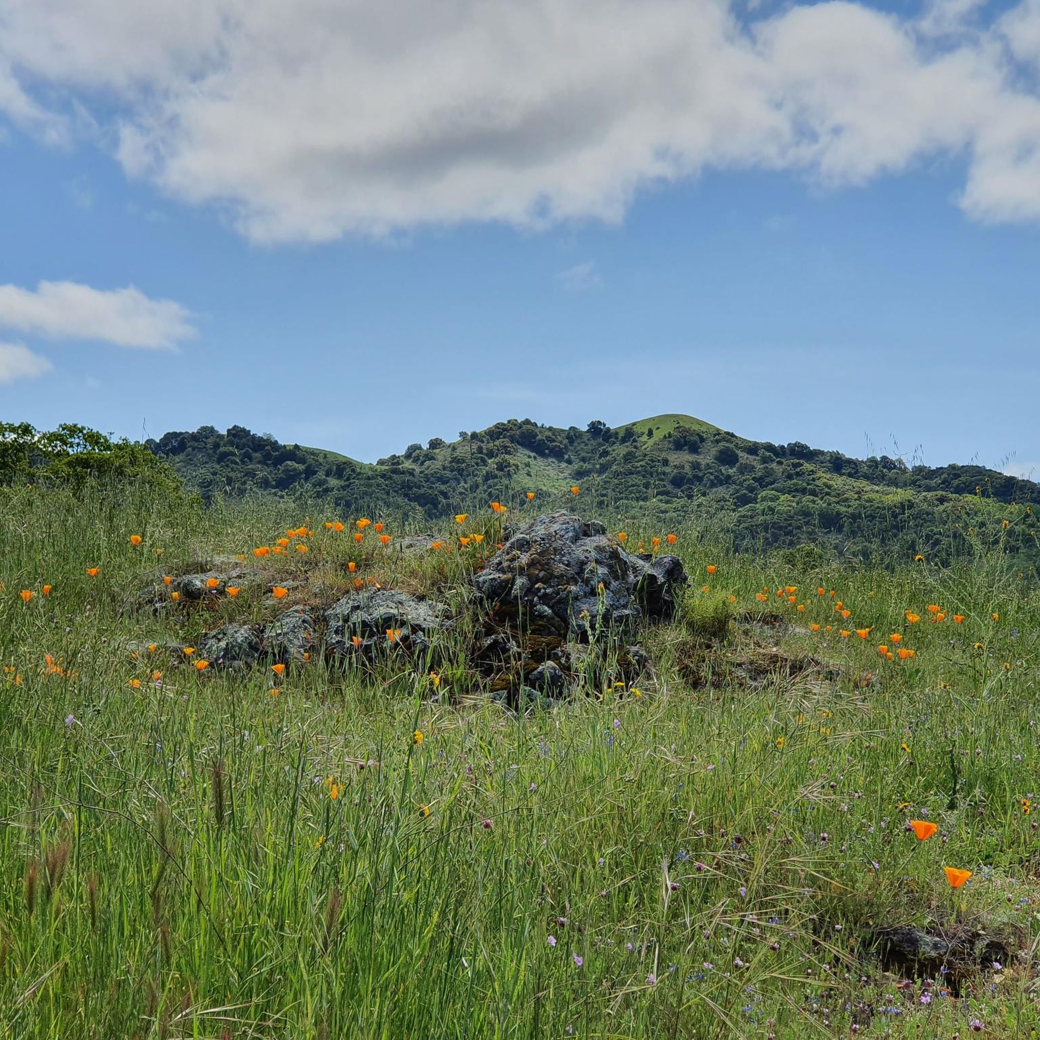
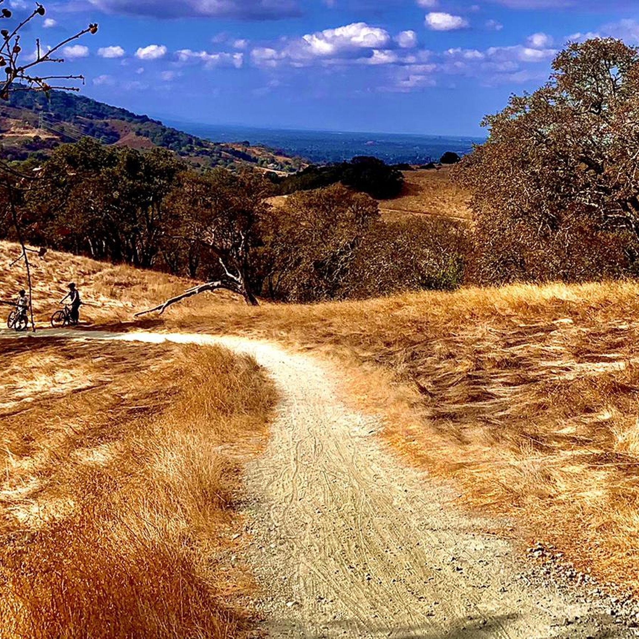
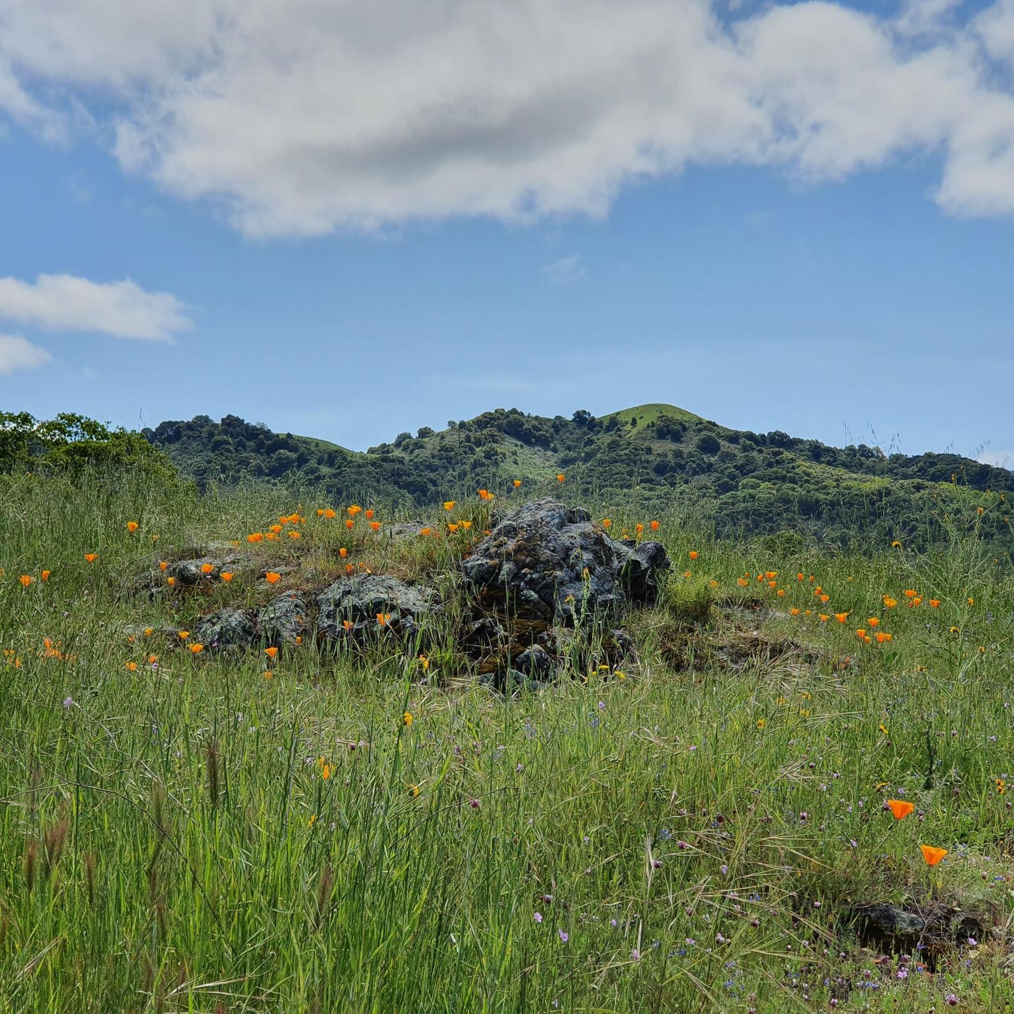
The Peak is a 3,005-foot mountain in Santa Clara County. The high point is marked by a large mossy rock, a short distance away from the end of the trail. This is a great, challenging summit for any mountain biker.
1
0

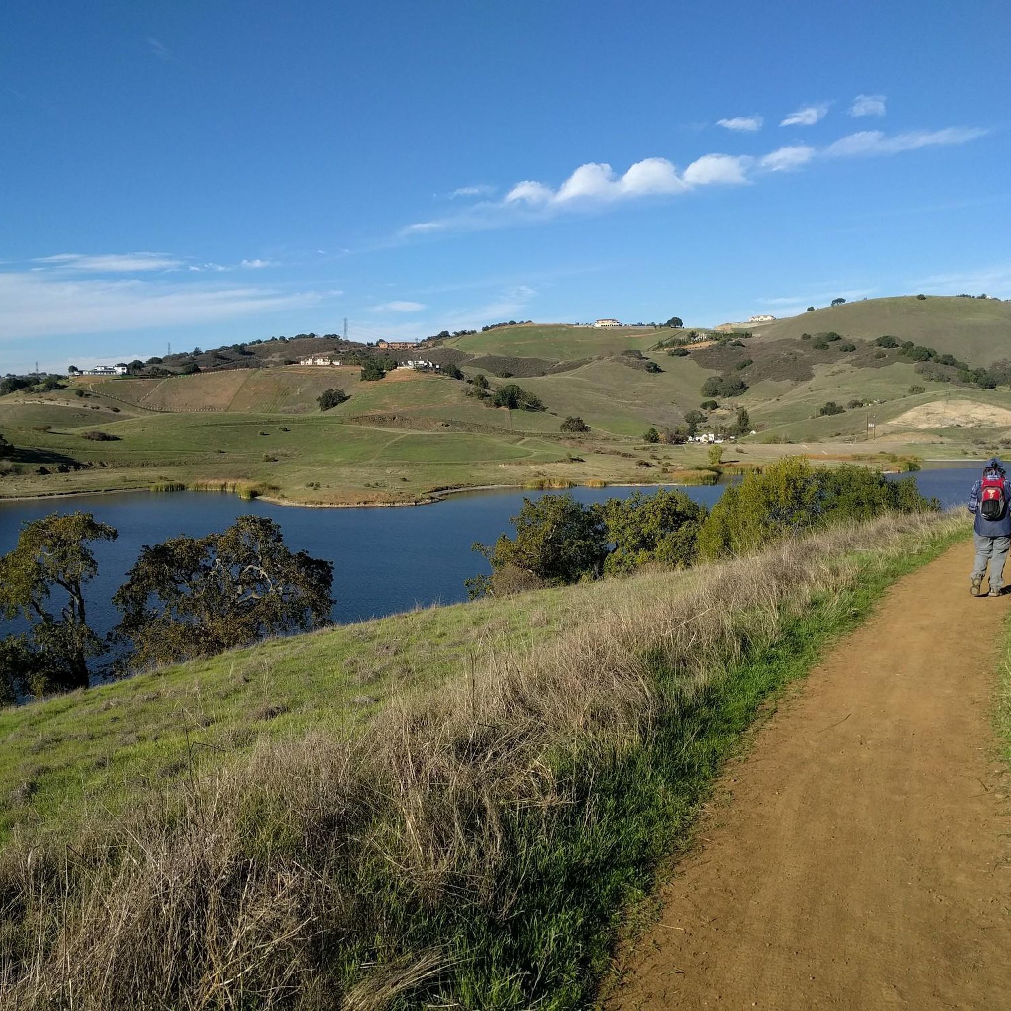
Serving as a scenic backdrop to the town of Los Gatos, St. Joseph's Hill is a 1,250-foot hill that looks down Los Gatos Creek valley and down over nearby Lexington Reservoir. It is also the summit of the Manzanita trail, which is a classic ride best done on a gravel bike.
0
0

Mission Peak is a popular peak in Alameda County. The trail to the top is well signed and strenuous but it worth it for the great views at the top. A lot of the trail is exposed, so it's important to have enough water and sunblock.
0
0

On clear days, the east offers stunning views of the high Sierra's beautiful summits. Even on less clear days, the surrounding peaks are still worth admiring. To the north, witness the majestic double peaks of Mount Diablo, the Coast Range's giant. Don't be surprised if you see hand gliders coming around the peak to enjoy the beautiful views this preserve offers.
0
0

The road to Mount Hamilton is smooth and not really steep. I've counted just as many bikers as there were cars on a Sunday ride, which makes it even more enjoyable. During the final 2 miles, the gradient kicks in, but it's not a big deal if you are in good shape. Toping at 4,175 ft, the Lick Observatory is a nice destination, with great views all around. The descent is somewhat technical, but since it's not very steep, you shouldn't have any issues. My maximum speed was about 40 mph on the longest stretches between turns.
0
0

One of the highest virtually car-free road climbs in the South Bay, Mount Umunhum became quickly one of the most popular biking destinations since opening to the public in 2017 after being closed several decades for military radar operations. The hard work is rewarded with spectacular 360 degree views of the Sierra Azul Open Space Preserve and the surrounding hills, all the way to the Pacific Ocean in the West and the SF Bay to the north. Modern restrooms, drinking water fountains, and viewing terraces with benches welcome the weary. Don't be afraid, or too overwhelmed by your superpowers if you look at komoot's 9800 ft uphill climb estimate for this highlight. Their software is off by a factor of 5x or more. The actual elevation difference is around 1800 feet (about 600 meters). According to GoogleMaps the distance is only 5.2 miles, with about 2000 feet uphill. Even that is not bad, and you deserve to be proud ;-)
3
0
Well paved road reopened in 2017, climbing sometimes steeply in switchbacks into the Sierra Azul preserve from Hicks Road to the former radar tower on the summit of Mt Umunhum. It's a great workout, but don't be discouraged by the exaggerated 2950 feet elevation change estimate here by Komoot (in biking mode it even calculates 9750 feet): in reality it's closer to 1600 feet of climbing.
3
0
Frequently Asked Questions
Which mountain peaks around San Jose offer the most expansive views?
For truly panoramic vistas, Mission Peak is renowned for its spectacular views of Silicon Valley and the San Francisco Bay Area, extending to Mount Diablo and even the distant Sierra Nevada on clear days. Mount Umunhum also provides 360-degree views stretching from the Pacific Ocean to the Sierra Nevada mountains.
Are there any mountain peaks with historical significance near San Jose?
Yes, several peaks have rich histories. Mount Hamilton is home to the historic Lick Observatory, established in 1875, which still offers tours. Mount Umunhum holds cultural importance as an Ohlone sacred site and features 'The Cube,' a visible landmark from its Cold War radar station days.
What are some challenging mountain climbs or hikes in the San Jose area?
If you're looking for a challenge, the hike to Mission Peak is known for being strenuous. For an exceptionally steep ascent, consider Mount Sizer in Henry W. Coe State Park, particularly 'The Shortcut' trail, which climbs about 1,500 feet in just 1.3 miles with an average grade of 22%. The Mount Umunhum Road climb also features steep sections, reaching up to 18% grades.
Are there family-friendly mountain trails around San Jose?
While many peaks offer challenging routes, areas like Santa Teresa County Park, which includes Coyote Peak, provide good vantage points and trails that can be suitable for families. For easier hikes, you can explore options like the Los Cerritos Trail or the Sierra Vista Trail, which are part of the easy hikes around San Jose guide.
What is the best time of year to visit the mountain peaks near San Jose?
The best time to visit is generally during the cooler, drier months, typically spring and fall, when temperatures are moderate and skies are often clear for optimal views. During warmer months, especially summer, trails can be very exposed, so it's essential to bring plenty of water and sun protection. Winter visits to higher elevations like Mount Hamilton may require warm clothing due to significantly lower temperatures.
Can I go mountain biking on any of these peaks?
Yes, the Summit of Sanborn County Park is highlighted as a great, challenging summit for mountain bikers. Additionally, the Manzanita trail to Saint Josephs Hill summit is described as a classic ride best done on a gravel bike.
What kind of wildlife can I expect to see on these mountain trails?
The mountain areas around San Jose, including Henry W. Coe State Park where Mount Sizer is located, are rich in natural beauty and support diverse wildlife. While specific sightings vary, you might encounter various bird species, including hummingbirds (Mount Umunhum's name means 'resting place of the hummingbird'), and other local fauna. Wildflowers are also abundant if timed correctly, particularly in spring.
Are there any unique landmarks or features at the summits?
Absolutely. Mission Peak is famous for its 'Mission Peeker' marker pole, a popular spot for photos. Mount Umunhum features 'The Cube,' the distinctive building from its past as a radar station, along with an observation deck. Mount Hamilton hosts the historic Lick Observatory with its impressive telescopes.
What outdoor activities, besides hiking, are available near these mountain peaks?
Beyond hiking, you can enjoy road cycling, with routes like the Mount Hamilton & JD Grant Park loop. There are also running trails, such as the Guadalupe River Trail. For more options, explore the road cycling routes around San Jose or the running trails around San Jose guides.
What should I know about accessibility and facilities when visiting these peaks?
Many trails, especially at popular spots like Mission Peak, are exposed, so sun protection and ample water are crucial. Mount Umunhum, since its reopening, offers modern restrooms, drinking water fountains, and viewing terraces with benches at the summit. Always check specific park regulations for parking and any required permits before your visit.
Can I visit an observatory near San Jose's mountain peaks?
Yes, Mount Hamilton is home to the Lick Observatory, which houses historic and modern telescopes. It offers free, informative tours, providing a unique educational experience alongside the natural beauty of the peak.
Most popular routes around San Jose
Most popular attractions around San Jose

Get inspired with the komoot mobile app


Explore more
See even more amazing summits around San Jose with these guides:
