The best road cycling routes around Baldwin Park
4.5
(37)
3,153
riders
72
rides
Road cycling around Baldwin Park, California, features an extensive network of paved pathways along riverbeds and greenways. The terrain is generally flat, with some routes offering views of the distant San Gabriel Mountains. More challenging routes with notable elevation gains are also available in the surrounding areas. The region's commitment to active transportation provides varied options for road cyclists.
Best road cycling routes around Baldwin Park
- The most popular road cycling route is Bosque del Rio Hondo – Santa Fe Flood Control Basin loop from El Monte, a 46.3 miles (74.5 km) trail that takes 3 hours 29 minutes to complete. This route follows river paths and offers views of the San Gabriel Mountains.
- Another top favourite among local road cyclists is Bosque del Rio Hondo – Rio Hondo Bike Bridge loop from El Monte, a moderate 56.3 miles (90.6 km) path. This route utilizes the paved Rio Hondo Greenway, providing a generally flat cycling experience.
- Local road cyclists also love the Newman Point Overlook – Little Dalton Debris Basin loop from Irwindale, a 28.5 miles (45.8 km) trail leading through varied terrain with significant elevation gain, often completed in about 2 hours 47 minutes.
- Road cycling around Baldwin Park is defined by river greenways, paved multi-use paths, and distant mountain views. The network offers options for different ability levels, from leisurely rides to routes with notable climbs.
- The routes in Baldwin Park are highly rated by the komoot community with an average score of 4.5 stars from over 40 reviews. More than 2,900 road cyclists have used komoot to explore Baldwin Park's varied terrain.
Last updated: July 10, 2026
4.3
(3)
296
riders
74.5km
03:29
260m
260m
Moderate road ride. Good fitness required. Mostly well-paved surfaces and easy to ride.
5.0
(1)
281
riders
98.0km
04:48
160m
160m
Moderate road ride. Good fitness required. Mostly well-paved surfaces and easy to ride.

Sign up for free
5.0
(2)
159
riders
Moderate road ride. Good fitness required. Mostly well-paved surfaces and easy to ride.
151
riders
87.8km
04:19
150m
150m
Moderate road ride. Good fitness required. Mostly well-paved surfaces and easy to ride.
93
riders
70.3km
03:31
140m
140m
Moderate road ride. Good fitness required. Some segments of this route may be unpaved and difficult to ride.
Get access to more routes and recommendations from other explorers.
Sign up for free
Already have an account?
Our route recommendations are based on thousands of hikes, rides, and runs completed by other people on komoot.
Start today with a free account
Your next adventure awaits.
Login or Signup



Tips from the Community


The Greenway is a paved two-lane multi-use path, which stretches for over 50 miles along the LA River.
0
0

The Rio Hondo Greenway is a beautiful bike lane that follows the river that gives the trail its name. It is fully paved and flat, so it is not a challenging trail.
0
0
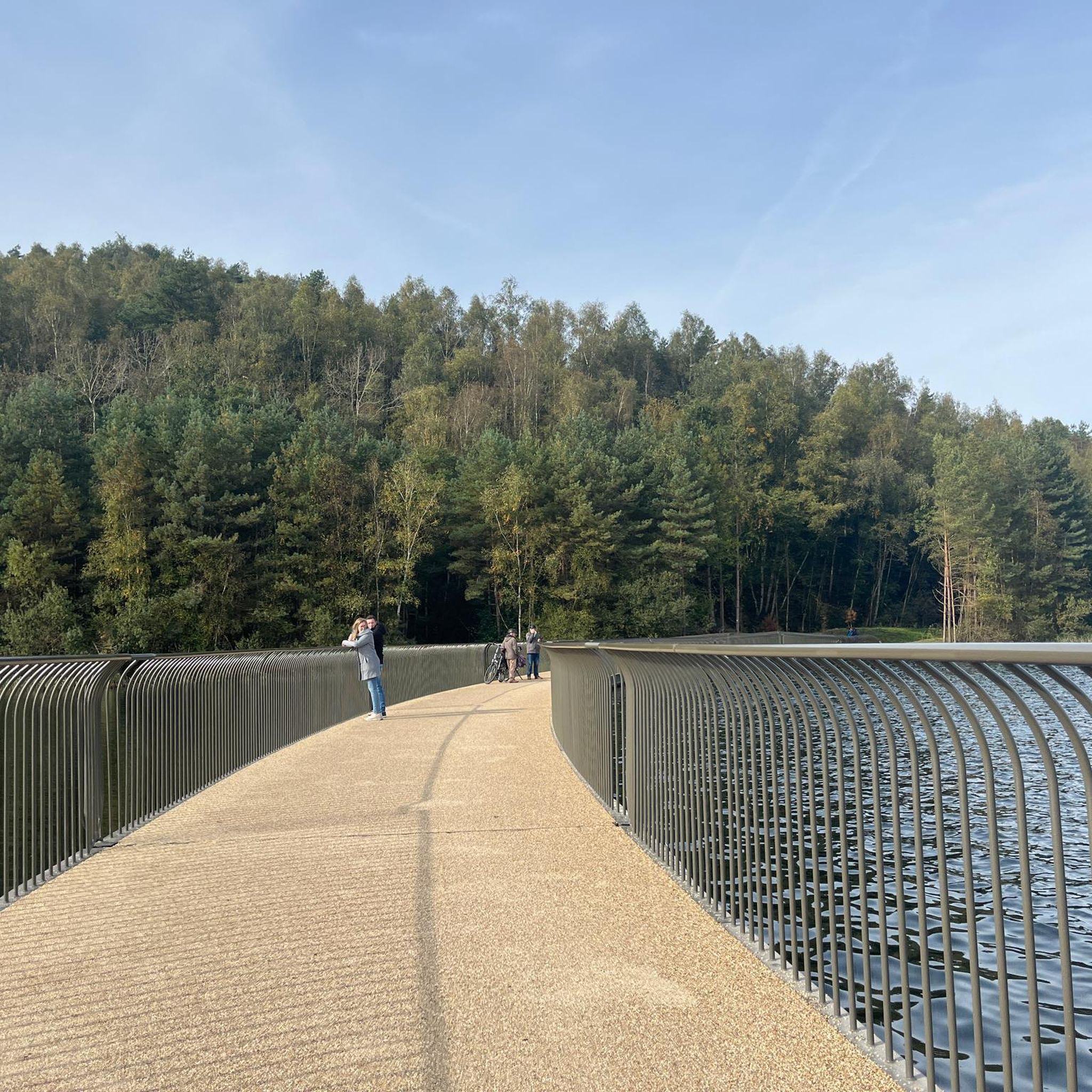
The Rio Hondo Bike Bridge is an interesting structure that connects the bike trails that runs on either side of the Rio Hondo.
0
0
The San Gabriel Dam is a rock‑fill structure completed in 1939 on the San Gabriel River and is used for flood control.
0
0

Nice bike path. not much roads to cross. some are hilly but doable for newbies. It's our first time and we had a good time. just some areas are with a lot of homeless people, esp. the tunnels.
0
0
Great view from the cycle path of the San Gabriel Mountains in the distance.
0
0

Limited cars use the roads so it is nice to get away from traffic
0
0
Frequently Asked Questions
How many road cycling routes are available around Baldwin Park?
There are over 60 road cycling routes around Baldwin Park, offering a wide range of options for different skill levels. The komoot community has explored these routes over 2,900 times, with an average rating of 4.5 stars.
What kind of terrain can I expect on road cycling routes in Baldwin Park?
Road cycling in Baldwin Park primarily features extensive networks of paved pathways along riverbeds and greenways, such as the San Gabriel River Trail and Rio Hondo Greenway. These routes are generally flat, offering a smooth ride. However, for those seeking more challenge, areas like Turnbull Canyon provide significant elevation gains.
Are there easy or beginner-friendly road cycling routes in the area?
Yes, Baldwin Park offers several easy and beginner-friendly road cycling routes. The Bosque del Rio Hondo – Rio Hondo Greenway loop from Ferris Road & Durfee Avenue is an excellent example, providing a relatively flat and accessible ride along paved greenways. The San Gabriel River Trail and Rio Hondo Greenway are also known for their gentle gradients, suitable for all fitness levels.
Where can I find more challenging road cycling routes near Baldwin Park?
For more challenging rides with notable elevation gains, consider routes that venture towards areas like Turnbull Canyon. The Newman Point Overlook – Little Dalton Debris Basin loop from El Monte is a difficult route with significant climbing. Turnbull Canyon itself offers a climb with an average gradient of 5.2% and an elevation gain of 775 feet, rewarding cyclists with stunning views of Los Angeles County.
What scenic views or landmarks can I see while road cycling in Baldwin Park?
Many routes offer impressive views of the San Gabriel Mountains in the distance, particularly along the San Gabriel River Trail and from the Santa Fe Dam Recreation Area. You can also explore the Duarte Bike Trail, which features an arched bridge from the historic Pacific Electric Railway, or ride through the scenic Turnbull Canyon for panoramic vistas.
Are there any family-friendly road cycling options in Baldwin Park?
Absolutely. The Baldwin Park Greenway is a 2.3-mile protected bike and pedestrian path, fully separated from vehicle traffic and ADA-compliant, making it ideal for families. It features amenities like benches, lighting, water fountains, and bike repair stations. The generally flat San Gabriel River Trail and Rio Hondo Greenway are also excellent choices for family outings.
Are there loop routes available for road cyclists in Baldwin Park?
Yes, many road cycling routes in Baldwin Park are designed as loops. For instance, the Bosque del Rio Hondo – Santa Fe Flood Control Basin loop from El Monte and the Bosque del Rio Hondo – Rio Hondo Bike Bridge loop from El Monte are popular loop options that follow river paths and greenways.
What are the typical lengths of road cycling routes in Baldwin Park?
Route lengths vary significantly, from shorter, easy rides to longer, more challenging excursions. You can find routes like the Bosque del Rio Hondo – Rio Hondo Greenway loop at around 20 miles, up to longer routes like the Bosque del Rio Hondo – Rio Hondo Bike Bridge loop which is about 56 miles.
What do other cyclists enjoy most about road cycling in Baldwin Park?
The area is highly rated by the komoot community, with an average score of 4.5 stars. Reviewers often praise the well-maintained, paved river trails and greenways, the scenic views of the San Gabriel Mountains, and the variety of routes catering to different skill levels, from leisurely rides to challenging climbs.
What is the best time of year to go road cycling in Baldwin Park?
Baldwin Park generally offers good cycling conditions year-round due to its mild Southern California climate. Spring and fall often provide the most comfortable temperatures for longer rides. Summers can be hot, so early morning or late afternoon rides are recommended, while winters are typically mild and pleasant.
Is there parking available near the road cycling trails in Baldwin Park?
Yes, many access points to the major cycling trails, such as the San Gabriel River Trail and the Baldwin Park Greenway, offer designated parking areas. The Santa Fe Dam Recreation Area also provides parking for cyclists looking to access its paths and connect to the wider trail network.
Can I access the cycling routes using public transport?
Baldwin Park is integrated into the broader Los Angeles County transportation network. While specific public transport connections directly to trailheads may vary, many local bus routes and Metrolink stations in the surrounding areas can provide access, often allowing bikes onboard or at stations. It's advisable to check local transit schedules and bike policies for the most current information.
Are there any natural parks or recreational areas accessible from the cycling routes?
Yes, the Santa Fe Dam Recreation Area, an 836-acre regional park, is directly accessible from the San Gabriel River Trail. It features a 70-acre lake and additional biking paths. The Baldwin Park Greenway also connects to Walnut Creek Nature Park, offering scenic trails and opportunities to observe local wildlife.
Most popular attractions around Baldwin Park

Get inspired with the komoot mobile app


Explore more
Browse the best Road cycling routes in other regions.
