The best walks and hikes around Santa Fe Springs
3.7
(9)
216
hikers
37
hikes
If you've ever tried to plan hiking around Santa Fe Springs, you know it can feel like sifting through a mountain of options, wondering which trails are genuinely worth your time and effort. It's easy to get lost in generic lists, but we believe your precious outdoor hours deserve better than filler. That's where komoot comes in: our community has explored, mapped, and reviewed these routes, and we've distilled that collective wisdom into a curated shortlist of the very best. We're here to save you the guesswork and point you straight to the trails that truly deliver.
Hiking around Santa Fe Springs offers a surprising mix of urban green spaces and natural escapes. You'll find everything from easy strolls through local parks to more challenging ascents into the rolling hills and canyons of the Puente Hills Preserve. The San Gabriel River also provides extensive, accessible paths. While it's an urbanized area, the region boasts vital green oases, making it easy to find a refreshing escape. Expect varied terrain, from paved paths to dirt trails, accommodating a wide range of abilities.
If you're looking for a rewarding challenge with panoramic views, we'd start with the Turnbull Canyon, Rattlesnake Ridge, and Sumac Trail Loop, a 3.9 miles (6.3 km) route that climbs into the hills and showcases the area's diverse landscapes. For a more relaxed, family-friendly option, the La Mirada Community Regional Park Loop offers an easy 1.6 miles (2.6 km) path perfect for a casual outing. With more than 200 hikers having already explored these paths with komoot, you can trust you're in good company.
Last updated: June 2, 2026
6
hikers
6.31km
01:53
210m
180m
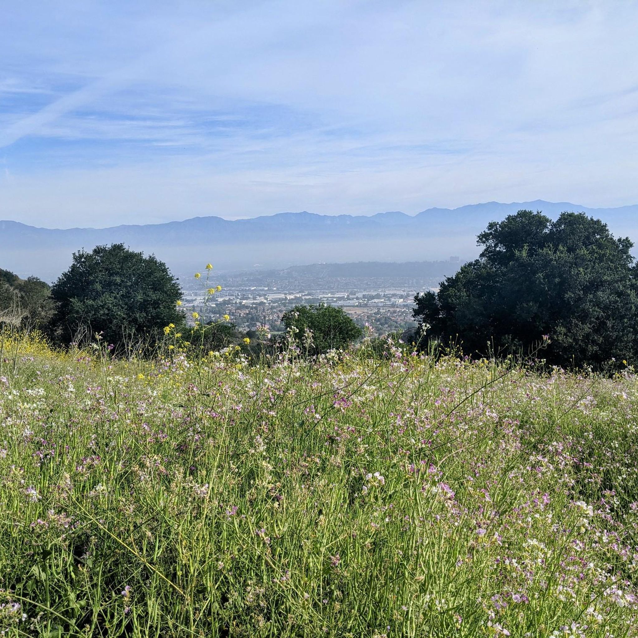
The Turnbull Canyon, Rattlesnake Ridge, and Sumac Trail Loop offers a diverse hiking experience with rewarding views across the Los Angeles basin. You'll traverse well-maintained fire roads, wind through riparian woodlands with sycamore trees, and climb steeper sections with switchbacks. From the ridges, you can spot the distinctive pagoda of Rose Hills Cemetery and enjoy panoramic vistas of the San Gabriel Mountains, making it a great choice for varied scenery.
This easy 3.9-mile (6.3 km) hike involves 679 feet (207 metres) of elevation gain and typically takes about 1 hour and 52 minutes to complete. While generally accessible, some sections can be steep, gravelly, and even a bit slippery, so wear appropriate footwear. It's a year-round trail, but cooler months offer greener hills, and starting early is advisable for parking.
Part of the Puente Hills Preserve, this route is known for its habitat restoration efforts and is popular with both hikers and mountain bikers. The graffiti-covered water tower serves as a unique landmark and offers additional sweeping views of the San Bernardino, San Jacinto, and Santa Ana mountains. Keep an eye out for coastal sage and native grasses, and remember that pets are welcome on a leash.
2
hikers
2.64km
00:41
10m
20m
The La Mirada Community Regional Park Loop offers a delightful, easy hike through a surprisingly diverse urban green space. You'll enjoy meandering paths that circle a tranquil urban lake, providing lovely water views and a chance to spot local waterfowl. The route also features lush greenery, including mature oak trees, and on clear days, you can even catch distant views of the San Gabriel Mountains, making it a scenic escape for all.
Planning your visit to this popular hiking trail in La Mirada is simple, as the park provides ample parking. Given its popularity and the array of amenities, consider arriving earlier in the day, especially on weekends, to ensure a convenient spot. This easy 1.6-mile (2.6 km) loop, with only 47 feet (14 metres) of elevation gain, takes about 41 minutes to complete, making it perfect for a quick, refreshing outing any time of year.
Beyond just hiking, La Mirada Community Regional Park is a highly versatile recreational area, recognized as one of Los Angeles County's most picturesque parks. It's home to two premier disc golf courses, a fishing lake, and the Splash! Aquatics Center, offering plenty of family-friendly activities. This makes the park an excellent destination for combining a leisurely walk with other sports or a fun day out with the kids.

1
hikers
1.57km
00:25
10m
10m
The La Mirada Creek Park Loop offers a delightful, easy stroll through a surprisingly lush urban green space. You'll follow a gentle creek, crossing charming wooden bridges, and enjoy the shade of large oak trees. Keep an eye out for the native California plant garden and the vibrant butterfly garden, especially in warmer months, making this 1.0-mile (1.6 km) loop a serene escape with only 43 feet (13 metres) of elevation gain, taking about 24 minutes.
Planning your visit is straightforward for this family-friendly hike. The trail features mostly paved paths, ensuring easy accessibility for all, though some sections might be unpaved. The park is well-equipped with amenities like covered picnic areas, playgrounds, and restrooms, making it a convenient spot for a quick outing. It's an ideal choice for those seeking a relaxed walk without significant logistical hurdles.
What makes this trail a hidden gem is its thoughtful design, transforming a flood-control channel into a vibrant community green corridor. Beyond the natural beauty, you'll find educational signage in the native plant garden and even a horse trail accessible via tunnels. It's a testament to urban planning, offering a unique blend of recreation and nature right within the city, providing many La Mirada Creek Park points of interest for visitors.
3.64km
00:55
0m
10m
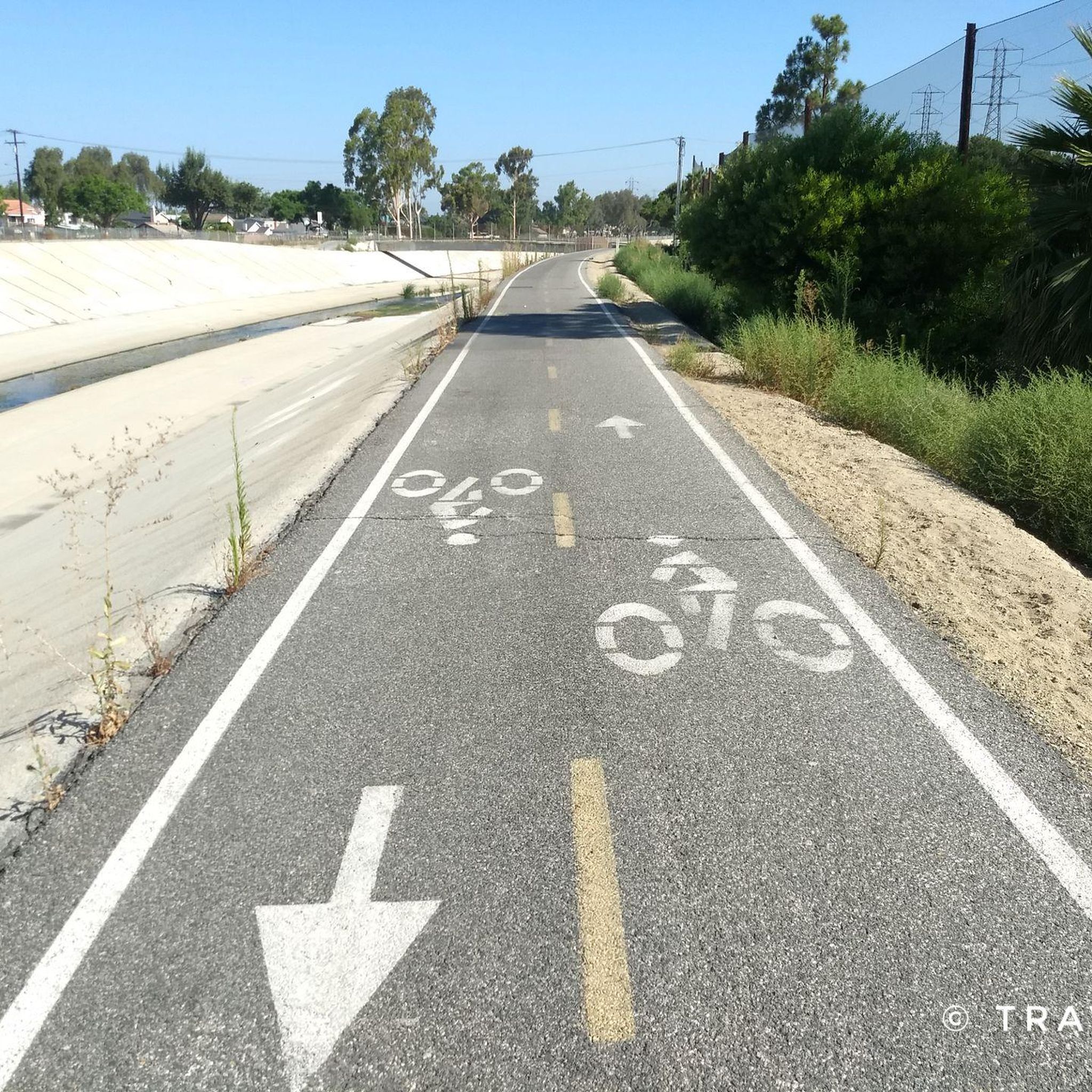
The San Gabriel River Trail segment from Caruthers Park to Liberty Park offers a surprisingly pleasant urban escape, primarily on a paved surface that makes for an easy 2.3-mile (3.6 km) hike. As you follow the channelized San Gabriel River, you'll encounter a blend of developed areas and refreshing green spaces, including the more naturalized West San Gabriel River Parkway Nature Trail with its native plants and potential for birdwatching. This route is perfect for a relaxed walk or jog, providing a gentle outdoor experience with minimal effort and only 8 feet (2 metres) of elevation gain.
Planning your visit is straightforward, as both Caruthers Park and Liberty Park act as full-service trailheads. Liberty Park is particularly well-appointed, offering convenient parking, restrooms, water fountains, and even playgrounds, making it an ideal spot for families. Since the trail is a popular multi-use path, you'll find it well-maintained and accessible throughout the year, though a 54-minute estimated duration means it's easy to fit into any schedule.
This section of the San Gabriel River Trail functions as a vital green corridor, connecting various communities and providing valuable recreational space within the urban landscape. Its easy difficulty and connection to multiple parks, like El Dorado East Regional Park and Rynerson Park, make it a family-friendly option for those seeking a quick dose of nature. It's a great way to experience local ecosystems and enjoy a bit of fresh air without needing to venture far from the city.
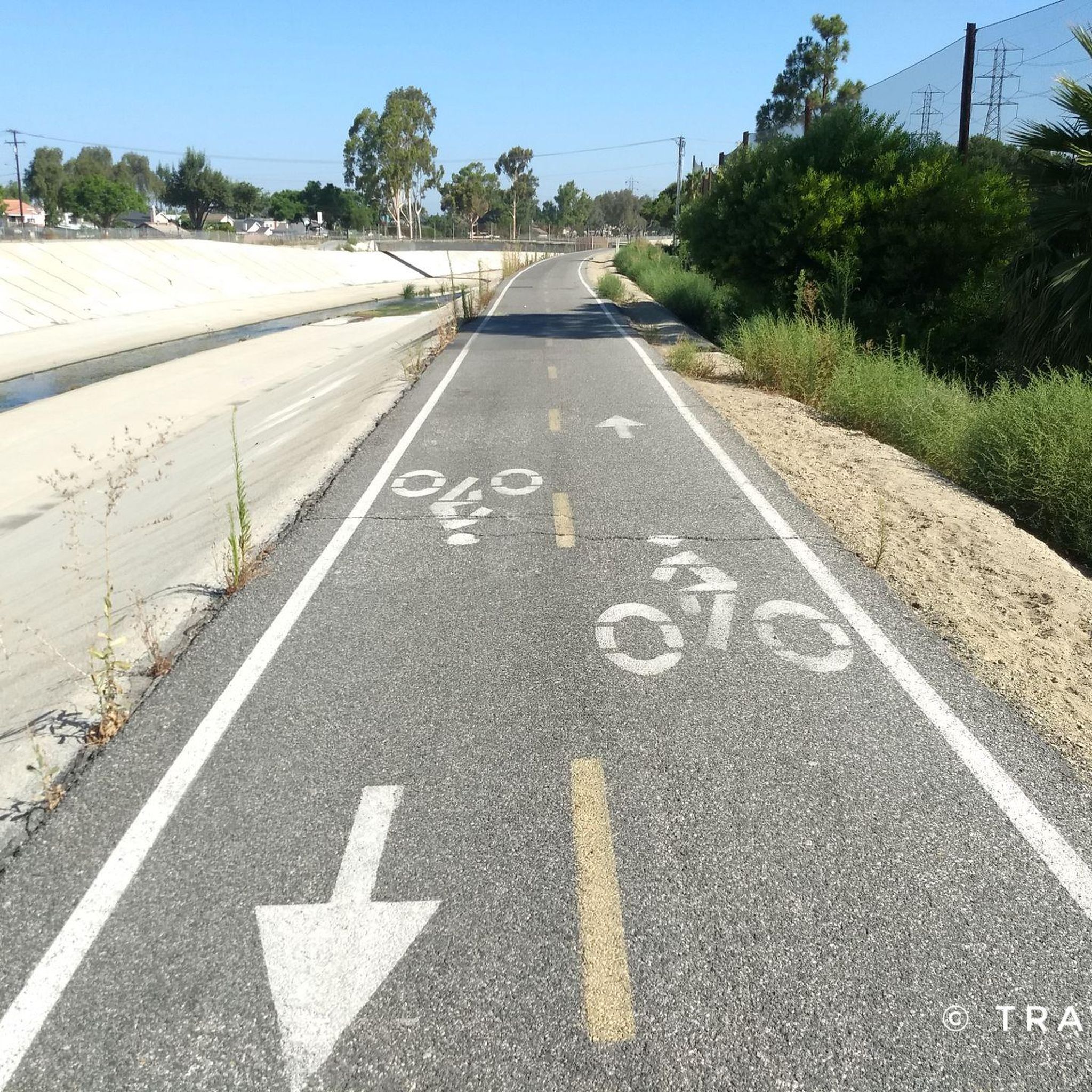
13.9km
03:33
50m
40m
The Whittier Greenway Trail offers a delightful urban escape, transforming an old railway line into a vibrant green corridor perfect for a relaxed outing. You'll enjoy a mix of landscaped greenery, native plants, and public art as you traverse the flat, well-maintained path. The trail passes through several parks, including Palm Park, providing a pleasant journey through Whittier's urban landscape.
This moderate 8.7-mile (13.9 km) route, with a gentle 161 feet (49 metres) of elevation gain, typically takes about 3 hours and 33 minutes to complete. It's an excellent option for families, cyclists, and anyone looking for an accessible, smooth surface. The trail is well-equipped with amenities like benches, water fountains, and restrooms, making it comfortable for longer strolls.
Following the historic route of the Pacific Electric Railway, the trail is dotted with interpretive signs and features six "stations" that highlight Whittier's past. This historical context, combined with its role as an urban green space, makes it more than just a path; it's a journey through local heritage and a valuable community asset. It's also well-connected to public transportation, making access easy.
Get access to more routes and recommendations from other explorers.
Already have an account?
Our route recommendations are based on thousands of hikes, rides, and runs completed by other people on komoot.
Start today with a free account
Your next adventure awaits.


Tips from the Community

Whittier Hill sits at an elevation of 1288 feet (386 m). This summit has a water tower covered with dishes, and some describe the satellites as making it look like a satellite crashed on the top of Whittier Hill. Rattlesnake Ridge Trail will take hikers and runners up to the top of this hill.
0
0

The graffiti-covered water tower at the top of Whittier Hill might not be the most alluring of landmarks, but take a minute to turn and look around: You have some amazing views over the hills, including wildland preserves to the south, southwest and northeast of you.
1
0

Puente Hills, a Transverse Range in Los Angeles County, includes the Whittier Hills. Hellman Wilderness Park features trails through coastal sage scrub habitats, offering Los Angeles Basin vistas.
0
0

Frequently Asked Questions
Are there any easy, family-friendly hikes near Santa Fe Springs?
Yes, there are several options suitable for families. The Ralph B. Clark Regional Park loop — Fullerton is a short, gentle walk through a park setting. For something similar, the Don Knabe Regional County Park loop — La Palma offers another flat and accessible path perfect for a casual family outing.
Can I take my dog on the trails around Santa Fe Springs?
Many trails in the area are dog-friendly, but policies can vary, especially in preserve areas. It's common for dogs to be required to be on a leash. Parks like Whittier Narrows Recreation Area and Chino Hills State Park generally allow leashed dogs on trails. Always check the specific regulations for the park or trail you plan to visit before you go.
What are some good circular hikes in the area?
The region has several great loop trails. For a moderately challenging hike with rewarding views, the Whittier Hill – Turnbull Debris Basin loop from Hacienda Heights is a popular choice that takes you into the Puente Hills. This route provides a complete circuit without needing to backtrack.
Where can I find hikes with good views near Santa Fe Springs?
For expansive views, head to the nearby Puente Hills. Trails within Turnbull Canyon, a well-regarded local hiking area, climb to vantage points that offer rewarding vistas of the surrounding landscape and the San Gabriel Valley. The inclines can be steep, but the scenery from the top makes it worthwhile.
How many hiking trails are available around Santa Fe Springs?
There are over 25 hiking routes to explore in and around Santa Fe Springs. The selection includes 13 easy trails, 12 moderate routes, and one difficult hike, offering a good variety for different fitness levels and preferences.
Are there any safety concerns like snakes on the trails?
Yes, it's wise to be cautious. The natural areas around Santa Fe Springs, including Turnbull Canyon and the Puente Hills, are home to wildlife such as rattlesnakes, especially during warmer months. It's best to stay on designated trails, be aware of your surroundings, and avoid reaching into bushes or rocky areas where snakes might be resting.
What should I pack for a hike in this part of Southern California?
Given the often warm and dry climate, packing appropriately is key. Always bring more water than you think you'll need. Sun protection is essential, so include a hat, sunglasses, and sunscreen. Wear sturdy hiking shoes, as some trails can be rocky or steep. It's also a good idea to have a small first-aid kit and a fully charged phone.
Are there any challenging, long-distance hikes available?
Yes, for those seeking a more strenuous workout, the Laguna Lake, Brea Creek, & Hiltscher Park loop — Fullerton is a difficult hike that covers over 12 miles. This trail combines different environments, from park paths to sections along Brea Creek, providing a lengthy and varied experience.
What do other hikers think of the trails around Santa Fe Springs?
The routes in this area are enjoyed by the komoot community. Reviewers often appreciate the accessibility of natural spaces like the Puente Hills Preserve so close to the city. The mix of challenging hill climbs and easier park walks is frequently mentioned as a key benefit of hiking here.
Are the trails suitable for trail running?
Many of the trails are well-suited for running. The paths in the Puente Hills Preserve, including Turnbull Canyon, are popular with local trail runners for their challenging inclines and varied terrain. For a flatter, more consistent run, the El Rancho Verde Park — La Palma, California route offers a longer, less hilly option.
Where can I learn more about the trails in Chino Hills State Park?
Chino Hills State Park offers an extensive network of over 90 miles of trails. For detailed information on trail conditions, regulations, and a park map, you can consult the official park brochure. A digital version is available from California State Parks: Chino Hills State Park Brochure.
Most popular attractions around Santa Fe Springs

Get inspired with the komoot mobile app


Explore more
Browse the best Hikes in other regions.
