The best running trails around San Fernando
4.0
(1)
69
runners
10
runs
Jogging around San Fernando offers a diverse range of landscapes, from urban parks to challenging mountain trails. The region is characterized by its surrounding mountain ranges, including the San Gabriel and Santa Monica Mountains, providing varied terrains and scenic routes. Historically, the Valley floor featured prairies, and today, pockets of natural hillside ecosystems with chaparral and oak woodlands persist. The Los Angeles River also flows through the southern regions, offering paths for running.
Best jogging routes around San Fernando
- The most popular jogging route is O'Melveny Park to Mission Point Loop, a 5.1 miles (8.2 km) trail that takes 1 hour 10 minutes to complete. This difficult route leads to Mission Point, offering panoramic views of the San Fernando Valley.
- Another top favourite among local runners is Mission Point Loop, a difficult 4.5 miles (7.2 km) path. This route provides a steady uphill climb to Mission Point, known for its wide, smooth path suitable for trail running.
- Local runners also love the Running loop from California State University, Northridge, a 2.9 miles (4.7 km) trail leading through urban parkland, often completed in about 29 minutes.
- Jogging around San Fernando is defined by mountain trails, river paths, and varied park landscapes, with options ranging from easy paved tracks to challenging ascents.
- The guide includes highly-rated routes that showcase the best of the region's landscape. More than 60 runners have used komoot to explore San Fernando's varied terrain.
Last updated: June 27, 2026
5
runners
8.24km
01:10
400m
400m
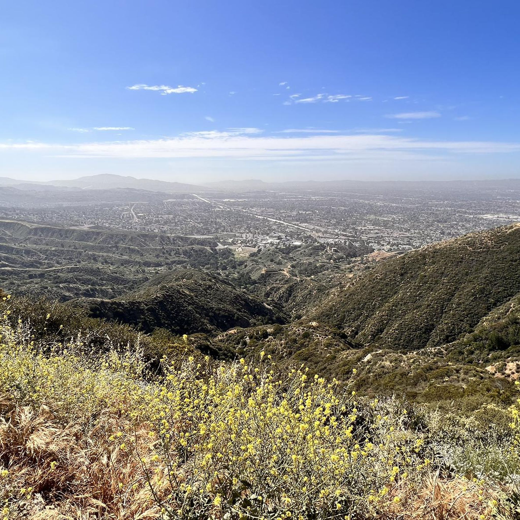
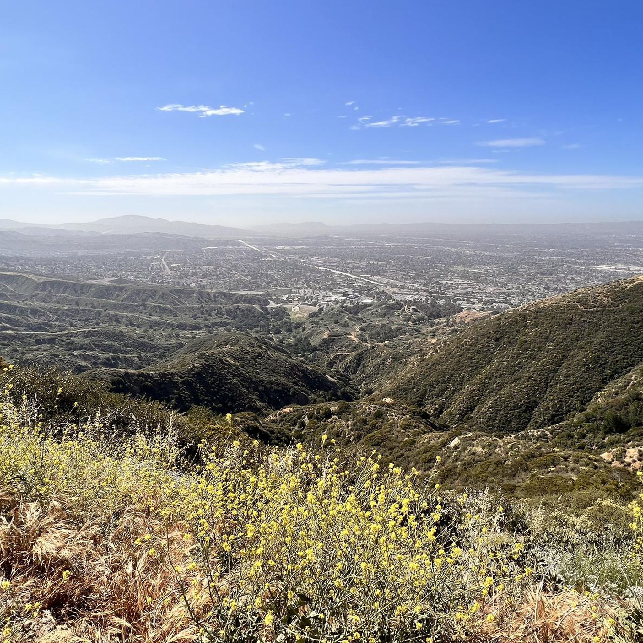
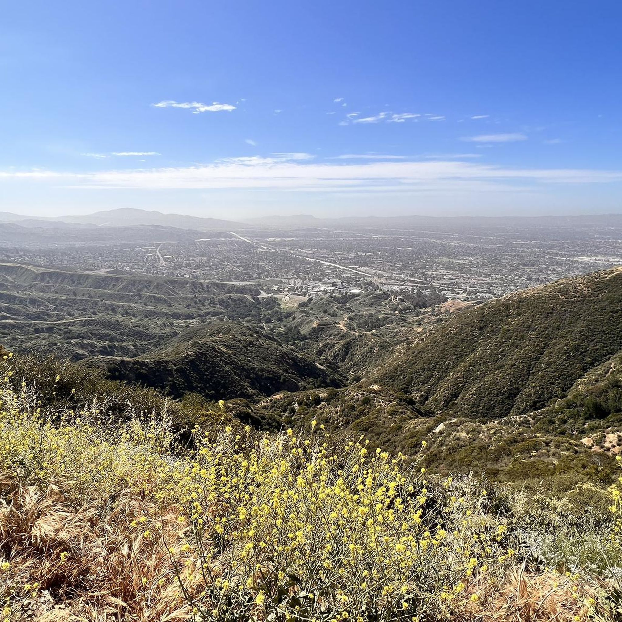
Start your difficult jogging adventure on the O'Melveny Park to Mission Point Loop, a challenging route spanning 5.1 miles (8.2 km). You'll begin amidst the pleasant green lawns and shaded oak and eucalyptus trees of O'Melveny Park. As you ascend, the path becomes more exposed, leading you towards the summit of Mission Point. This climb involves a significant elevation gain of 1319 feet (402 metres), typically taking about 1 hour and 10 minutes to complete. From the top, you are rewarded with sweeping 360-degree views across the San Fernando Valley, the Santa Monica Mountains, and the San Gabriels.
When planning your visit, you can find parking directly at O'Melveny Park, though the main lot can fill up quickly, so consider street parking as an alternative. Restrooms are conveniently located near the trailhead for your comfort before and after your run. If you enjoy jogging with your canine companion, dogs are welcome on a leash, making this a great option for a shared outdoor experience.
The trail offers a unique perspective of the region, especially during springtime when wildflowers add vibrant color to the landscape. The journey to Mission Point summit provides not just a physical challenge but also a chance to appreciate the natural beauty and expansive vistas of the surrounding mountain ranges. This route stands out for its combination of accessible parkland and rigorous uphill sections, culminating in memorable panoramic views.
5
runners
7.22km
01:03
350m
350m
If you're ready for a difficult jogging challenge, the Mission Point Loop offers a rewarding experience. This 4.5-mile (7.2 km) route features a substantial elevation gain of 1153 feet (351 metres), typically taking about 1 hour and 3 minutes to complete. You'll navigate varied terrain, including natural paths and fire roads, with steady climbs and rolling hills. The highlight is reaching Mission Point, which provides expansive 360-degree panoramic views of the San Fernando Valley and surrounding mountains. Look for wildflowers adding color to the landscape if you visit during springtime.
When planning your visit, be aware that much of the trail lacks shade. It's advisable to jog this route during cooler months or early in the morning to avoid intense heat. Parking is generally available at O'Melveny Park, where the trail begins. Always carry sufficient water for your workout, especially given the trail's demanding nature.
This challenging loop is a popular choice within O'Melveny Park for those seeking a vigorous jogging session. The park itself provides a natural escape, and this particular route stands out for its significant elevation changes and the impressive vistas from Mission Point. It's an excellent option if you want to push your limits and enjoy sweeping views of the region.

Sign up for free
4.0
(1)
5
runners
9.01km
01:06
190m
190m
Moderate run. Good fitness required. Mostly paved surfaces. Suitable for all skill levels.
5
runners
4.68km
00:29
30m
30m
Easy run. Great for any fitness level. Mostly paved surfaces. Suitable for all skill levels.
5
runners
11.1km
01:13
80m
80m
Moderate run. Good fitness required. Mostly paved surfaces. Suitable for all skill levels.
Get access to more routes and recommendations from other explorers.
Sign up for free
Already have an account?
Our route recommendations are based on thousands of hikes, rides, and runs completed by other people on komoot.
Start today with a free account
Your next adventure awaits.
Login or Signup
Tips from the Community

Steep going up but we'll worth the views at Mission Point. Watch for coyotes. Not too technical. usually dry and exposed trail.
0
0

Aliso Canyon Park is a public park with trails open every day from 7a.m. to 5 p.m. Trails are open to equestrians, hikers, and bikers. Some of the trails, like the Aliso Canyon Trail, are generally smooth but can get technical in some areas, so approach only if you are comfortable with more technical off-pavement riding.
0
0

Mission Point is a popular destination for hikers and mountain bikers. The views from the top are spectacular and you can see most of the San Fernando Valley and on a clear day the ocean.
0
0

This flowy track is a lot of fun to ride. It is also relatively wide, which means that you can easily spot hikers and bikers coming the other direction. The twisties are great.
0
0
This is a fun and accessible track with a few technical spots. You can carry a lot of speed downhill or also train your cardio while going uphill.
0
0

O'Melveny Park in Granada Hills is a large park, it is the second largest park in Los Angeles County after Griffith Park. It is a great place to hike or run. Having a run out up the O'Melveny Trail up to Mission Point is great fun, not that overcrowded and it has great mountain views.
0
0

Mission Point Trail is the most popular trail for tackling Mission Point. The trail is smooth, gradual singletrack that moves across some of the ridges and meadows of the foothills. This is a pretty popular trail for mountain bikes, so be aware of other trail users.
0
0
The De Campos Trail is really popular for mountain biking, hiking, and trail running and is a pretty direct route up to Mission Point. The trail is wide and pretty smooth. It's uphill the whole way out, but you can really move on this smooth, gradual downhill.
0
0
Frequently Asked Questions
How many running routes are available around San Fernando?
There are over 9 dedicated running routes around San Fernando documented on komoot, offering a variety of experiences for all skill levels. These routes range from easy urban park loops to challenging mountain ascents.
What kind of terrain can I expect on running trails in the San Fernando Valley?
The San Fernando Valley offers a diverse range of terrains for runners. You'll find everything from paved paths in urban parks like the Running loop from California State University, Northridge, to natural hillside ecosystems with chaparral and oak woodlands in the surrounding mountains. Many trails, especially in parks like O'Melveny, feature well-groomed dirt paths, while others can be more rugged with loose sand or gravel.
Are there easy running routes suitable for beginners in San Fernando?
Yes, San Fernando offers several easy running routes perfect for beginners. For example, the Running loop from California State University, Northridge is an easy 2.9-mile (4.7 km) trail through urban parkland. Las Palmas Park also provides a paved 900-meter track ideal for brisk walks or jogs.
Are there challenging trails for experienced runners in the San Fernando Valley?
Absolutely. The San Fernando Valley is bordered by mountain ranges like the San Gabriel and Santa Monica Mountains, offering numerous challenging trails. Routes like the O'Melveny Park to Mission Point Loop and the Mission Point Loop are considered difficult, featuring significant elevation gains and rewarding panoramic views from Mission Point.
What are some notable landmarks or viewpoints I can see while jogging in San Fernando?
Many running routes in San Fernando offer stunning views and pass by interesting landmarks. Mission Point, accessible via trails from O'Melveny Park, provides spectacular 360-degree views of the San Fernando Valley, Santa Monica Mountains, and San Gabriels. You can also explore O'Melveny Park itself, which is the second-largest park in Los Angeles.
Are there any running trails with waterfalls in the San Fernando Valley?
Yes, the Whitney Canyon Trail is a popular option for runners and hikers. It follows a creek for much of its length and leads to a small waterfall, making for a scenic and refreshing run.
Are there dog-friendly running routes in San Fernando?
Many parks and trails in the San Fernando Valley are dog-friendly, though specific rules regarding leashes and waste disposal should always be observed. Areas like O'Melveny Park and various mountain trails generally welcome dogs, making them great for running with your canine companion. Always check local signage for the most current regulations.
Are there family-friendly jogging trails in San Fernando?
Yes, several routes are suitable for families. Parks like Las Palmas Park offer paved tracks, and the Running loop from California State University, Northridge provides an easy, urban park experience. These routes are generally flatter and shorter, making them ideal for families with children.
What is the typical length of running routes in San Fernando?
The running routes in San Fernando vary significantly in length. You can find shorter loops, such as the 2.9-mile (4.7 km) Running loop from California State University, Northridge, up to longer trails like the 5.7-mile (9.2 km) Entrance to O'Melveny Park – Mission Point loop, offering options for various fitness levels and time commitments.
Are there any circular running routes in the San Fernando Valley?
Yes, many of the popular running routes in the San Fernando Valley are circular, allowing you to start and end at the same point. Examples include the O'Melveny Park to Mission Point Loop and the Mission Point Loop, both offering a complete circuit through scenic landscapes.
What is the best time of year to go running in San Fernando?
San Fernando generally enjoys a Mediterranean climate, making it suitable for running year-round. However, spring and fall offer the most pleasant temperatures, avoiding the hotter summer months and cooler winter mornings. Early mornings or late afternoons are often ideal to avoid peak heat, especially during summer.
Are there running routes with good parking facilities?
Many popular running spots in San Fernando, such as O'Melveny Park and Lake Balboa, offer dedicated parking facilities. For instance, the Running loop from Whiteman Airport also provides convenient access and parking. It's always advisable to check specific park websites or komoot route details for parking information before your visit.
Most popular routes around San Fernando
Most popular attractions around San Fernando

Get inspired with the komoot mobile app


Explore more
Browse the best Running Trails & Routes in other regions.
