The best walks and hikes around Genkeltalsperre
4.5
(12262)
42,902
hikers
930
hikes
Hiking around Genkeltalsperre offers trails through a low mountain range characterized by deeply divided valleys and an abundance of water. The region features numerous dams, including Genkeltalsperre itself, which contribute to a distinct landscape. Trails often present a dynamic "up and down" topography, traversing varied terrain of forests and open grasslands. This area provides a diverse experience for hikers, with routes that highlight its water-rich environment and natural features.
Best hiking trails around Genkeltalsperre
- The most popular hiking route is…
Last updated: July 4, 2026
4.7
(6)
63
hikers
4.50km
01:11
40m
40m
Easy hike. Great for any fitness level. Easily-accessible paths. Suitable for all skill levels.
5.0
(3)
17
hikers
7.57km
02:00
80m
80m
Moderate hike. Good fitness required. Easily-accessible paths. Suitable for all skill levels.

Sign up for free
3.8
(5)
14
hikers
3.02km
00:51
70m
70m
Easy hike. Great for any fitness level. Easily-accessible paths. Suitable for all skill levels.
4.5
(424)
1,275
hikers
Easy hike. Great for any fitness level. Easily-accessible paths. Suitable for all skill levels.
4.5
(83)
295
hikers
Moderate hike. Good fitness required. Easily-accessible paths. Suitable for all skill levels.
Get access to more routes and recommendations from other explorers.
Sign up for free
Already have an account?
Our route recommendations are based on thousands of hikes, rides, and runs completed by other people on komoot.
Start today with a free account
Your next adventure awaits.
Login or Signup

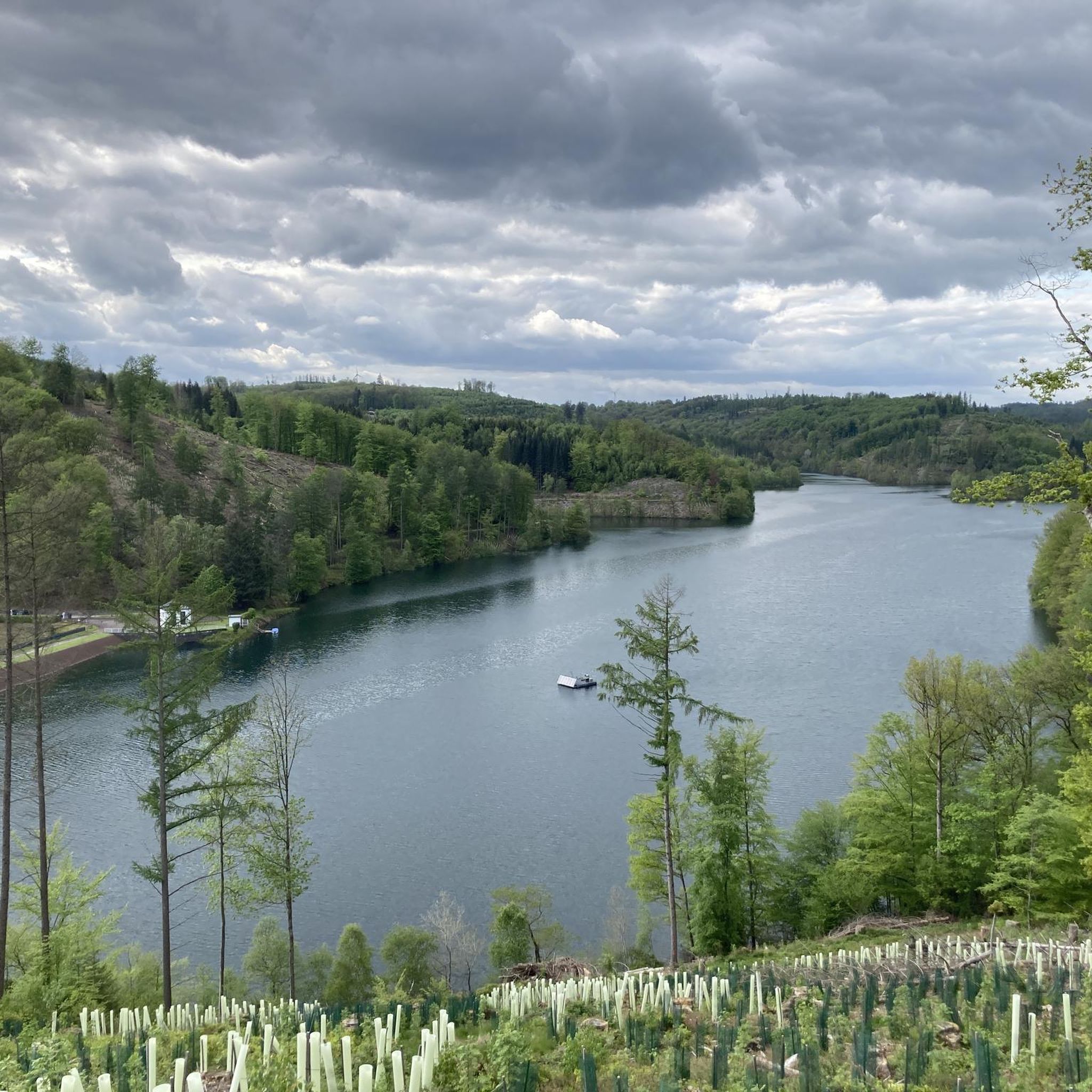
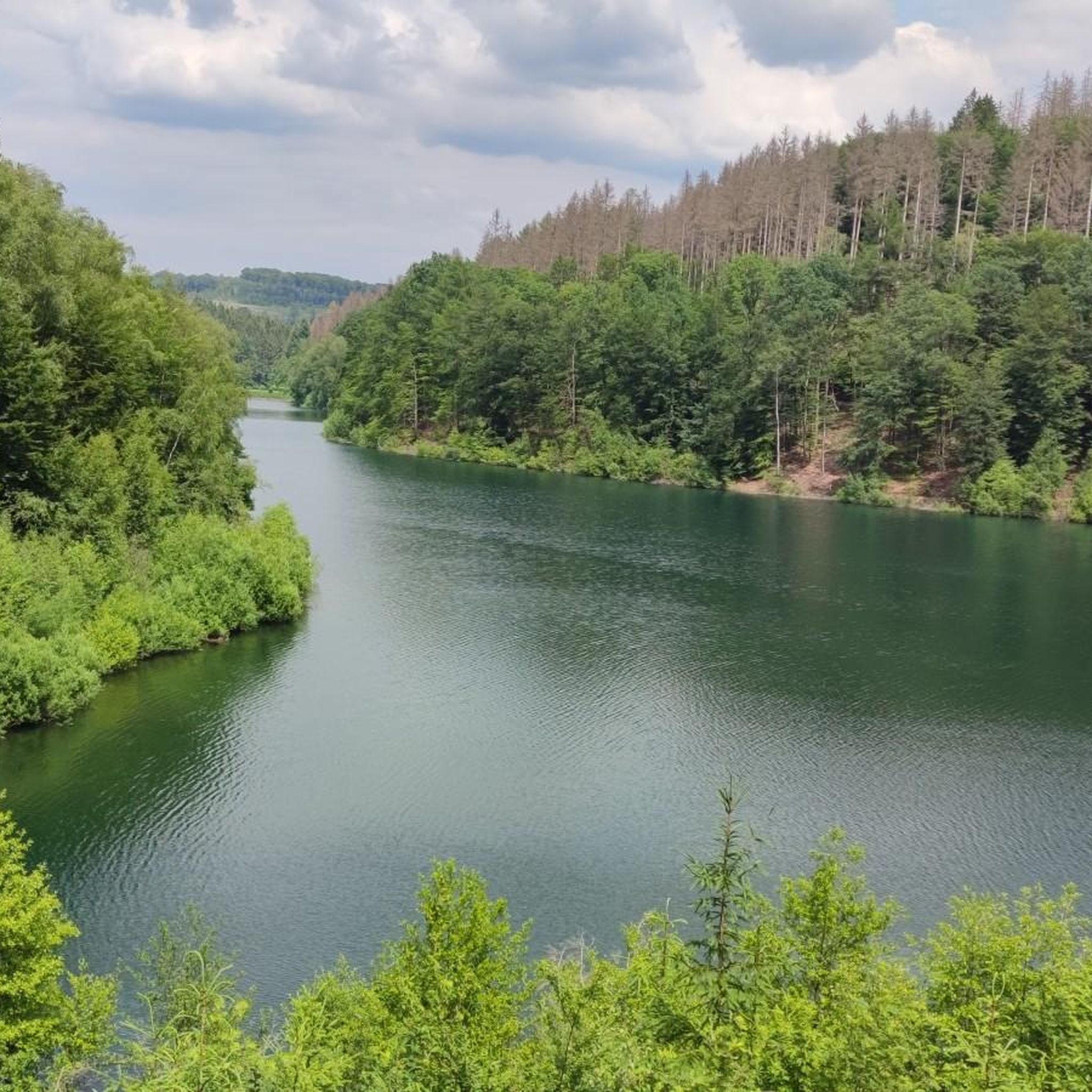
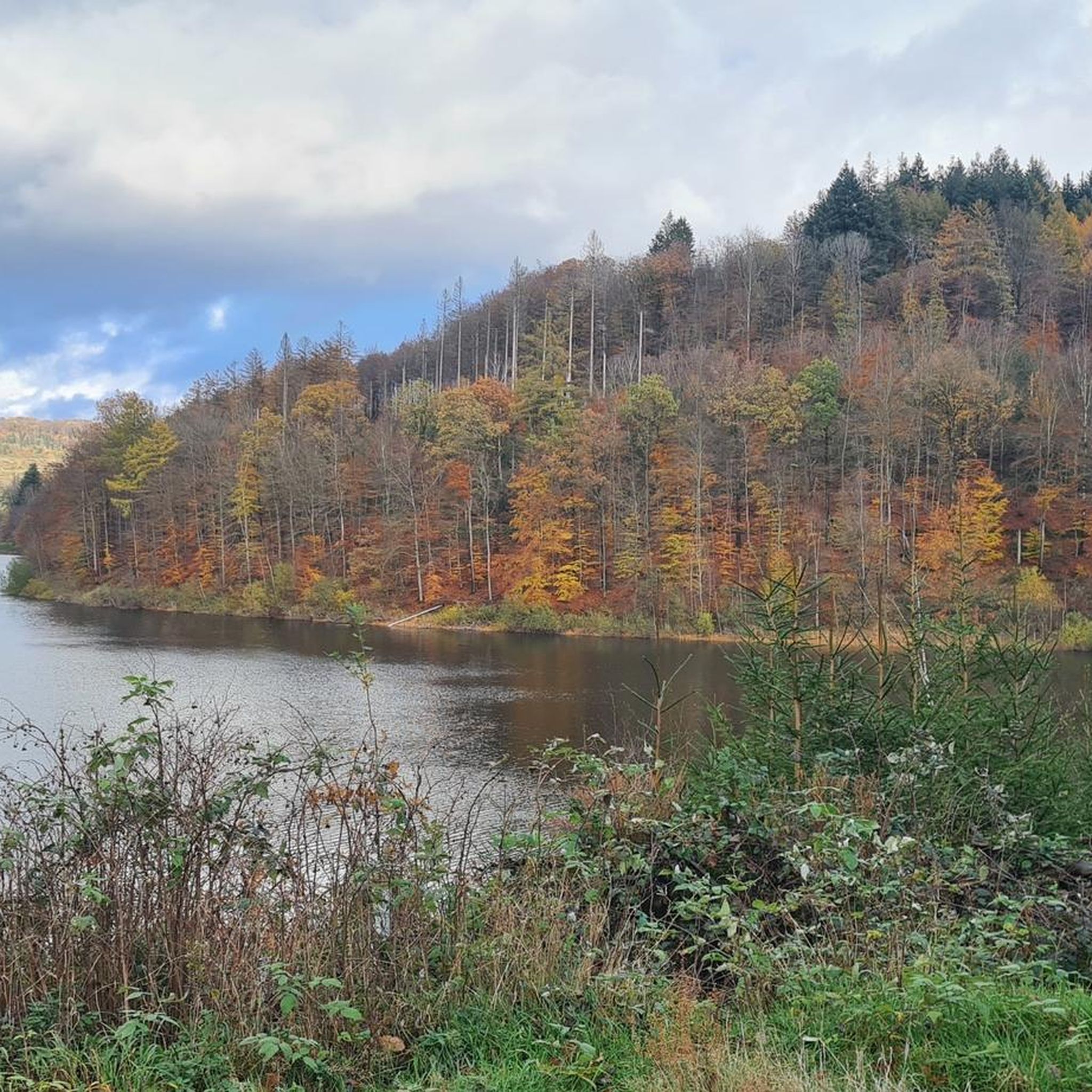
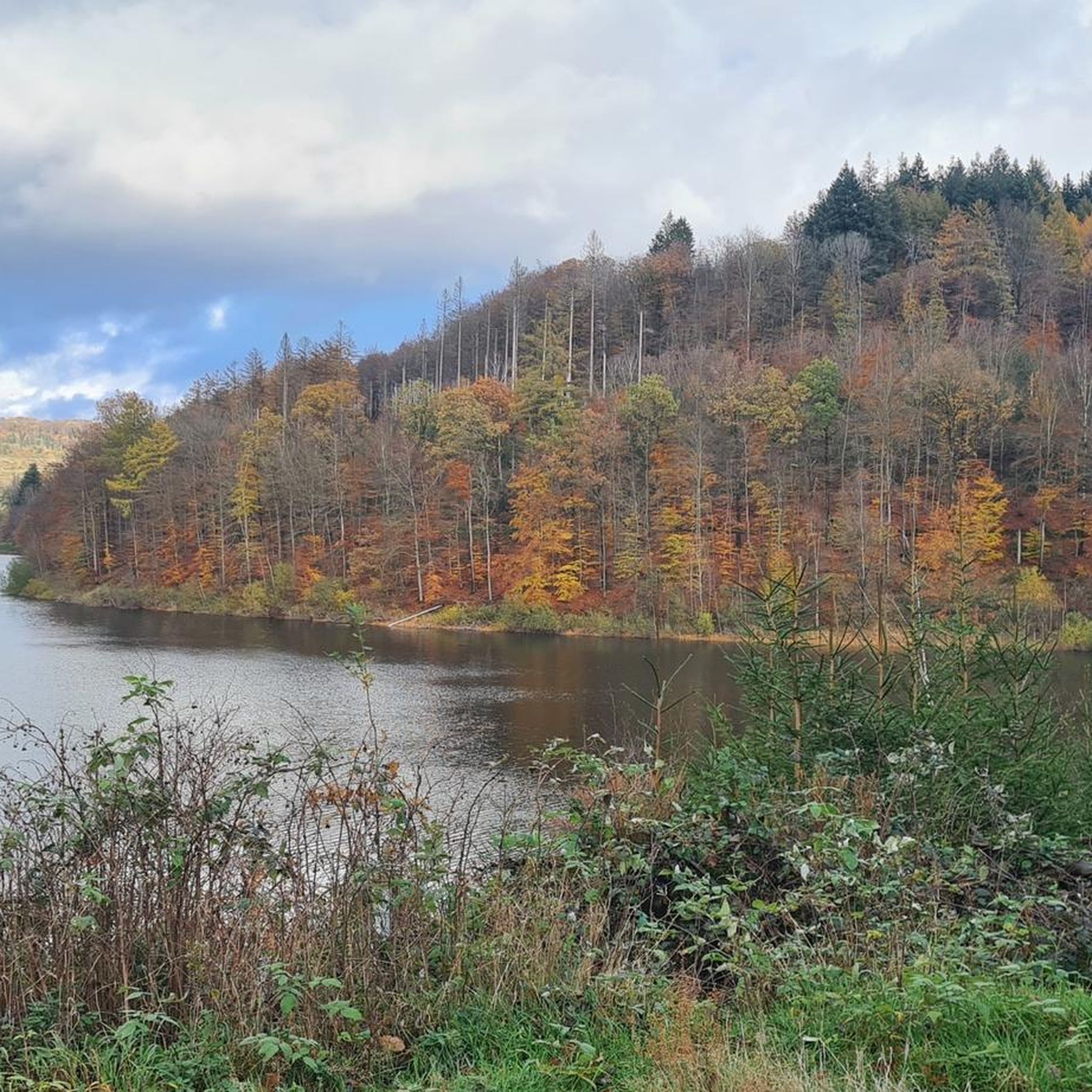
Other adventures around Genkeltalsperre

Tips from the Community

Hiking around the reservoir is great, but if you want a fantastic view from above, you have to go to the Unneberg Tower – highly recommended! 👍
0
0

The map and description show the peninsula of the Aggertalsperre, not the Genkel. The Genkeltalsperre is next door.
0
0

The path from the top of the Inselweg towards Bredenbruch doesn't provide a satisfactory view of the foreshore dam due to the bushes and trees. However, this was possible with the drone.
0
0
From the island path a beautiful view of Lantenbach, the campsite and the jetty, photographed with the drone
0
0
Magnificent view of the dam
0
0

Currently looking at the not yet completely finished artwork on the dam wall
1
0

Fascinating view of the Genkeltalsperre from almost above!
0
0
From here you can reach the Unnenberg Tower in 15-20 minutes.
1
0
Frequently Asked Questions
How many hiking trails are available around Genkeltalsperre?
There are nearly 1000 hiking trails around Genkeltalsperre, offering a wide variety of options. Over 600 of these are considered easy, with about 300 moderate and a smaller selection of challenging routes.
What kind of terrain can I expect on hikes around Genkeltalsperre?
The region is characterized by a low mountain range with deeply divided valleys, creating a dynamic 'up and down' topography. You'll hike through a mix of forests and open grasslands, with the landscape heavily influenced by the abundance of water, including the Genkeltalsperre itself.
Are there any circular hiking routes around Genkeltalsperre?
Yes, many routes around Genkeltalsperre are circular. For example, the easy Spitze Peninsula – Circular route around the Aggertalsperre dam loop from Bredenbruch offers a 6.7 km walk. The area's water nature trail is also designed as a circular route with informative boards.
What are the best options for family-friendly hikes?
Genkeltalsperre offers many easy routes suitable for families. The Unnenberg Parking Area loop from Genkel-Tal is a shorter, easy 3.0 km trail. The water nature trail around the reservoir is also a great option, providing educational insights into the local environment.
Are dogs allowed on the hiking trails around Genkeltalsperre?
Generally, dogs are welcome on the hiking trails around Genkeltalsperre. However, it's always recommended to keep them on a leash, especially in nature protection areas or near wildlife, and to respect local signage regarding dog access.
What interesting landmarks or natural features can I see along the trails?
The main feature is the Genkel Reservoir itself, with highlights like the Small bay with dam at the Genkel Reservoir and the Genkel Reservoir Gauge Station. You can also explore the Forest Information Board: Function of the Forest (Water Trail Panel 8) and the Water Educational Trail – Panel 12: Drinking Water Treatment, which are part of the informative water nature trail.
What do other hikers enjoy most about Genkeltalsperre?
The area is highly rated by the komoot community, with an average score of 4.5 stars from over 11,000 reviews. Hikers often praise the scenic views of the reservoir, the varied terrain of forests and grasslands, and the well-maintained paths that offer a refreshing outdoor experience.
Are there any challenging routes for experienced hikers?
While the majority of routes are easy to moderate, there are 21 difficult trails for those seeking a greater challenge. A moderate option that offers significant elevation gain is the 8.4 km View of the Genkel Reservoir – Unnenberg Observation Tower loop from Lantenbach, which includes substantial ascents and descents.
Is there parking available for hikers at Genkeltalsperre?
Yes, there are parking areas available. For instance, the Unnenberg Parking Area serves as a starting point for several routes, including a 3.0 km loop trail.
What is the best time of year to visit Genkeltalsperre for hiking?
The Genkeltalsperre region, with its forests and water features, offers beautiful hiking opportunities throughout the year. Spring brings lush greenery, summer provides pleasant conditions for longer walks, autumn showcases vibrant foliage, and winter can offer serene, crisp landscapes, though conditions may vary.
Can I find viewpoints along the hiking trails?
Yes, many trails offer scenic viewpoints overlooking the Genkeltalsperre. The Genkel Reservoir – View of Genkeltalsperre loop from Genkel-Tal is specifically known for providing excellent scenic vistas of the reservoir.
Most popular routes around Genkeltalsperre
Most popular attractions around Genkeltalsperre

Get inspired with the komoot mobile app


Explore more
Browse the best Hikes in other regions.
