The 16 Most Amazing Peaks around Orinda
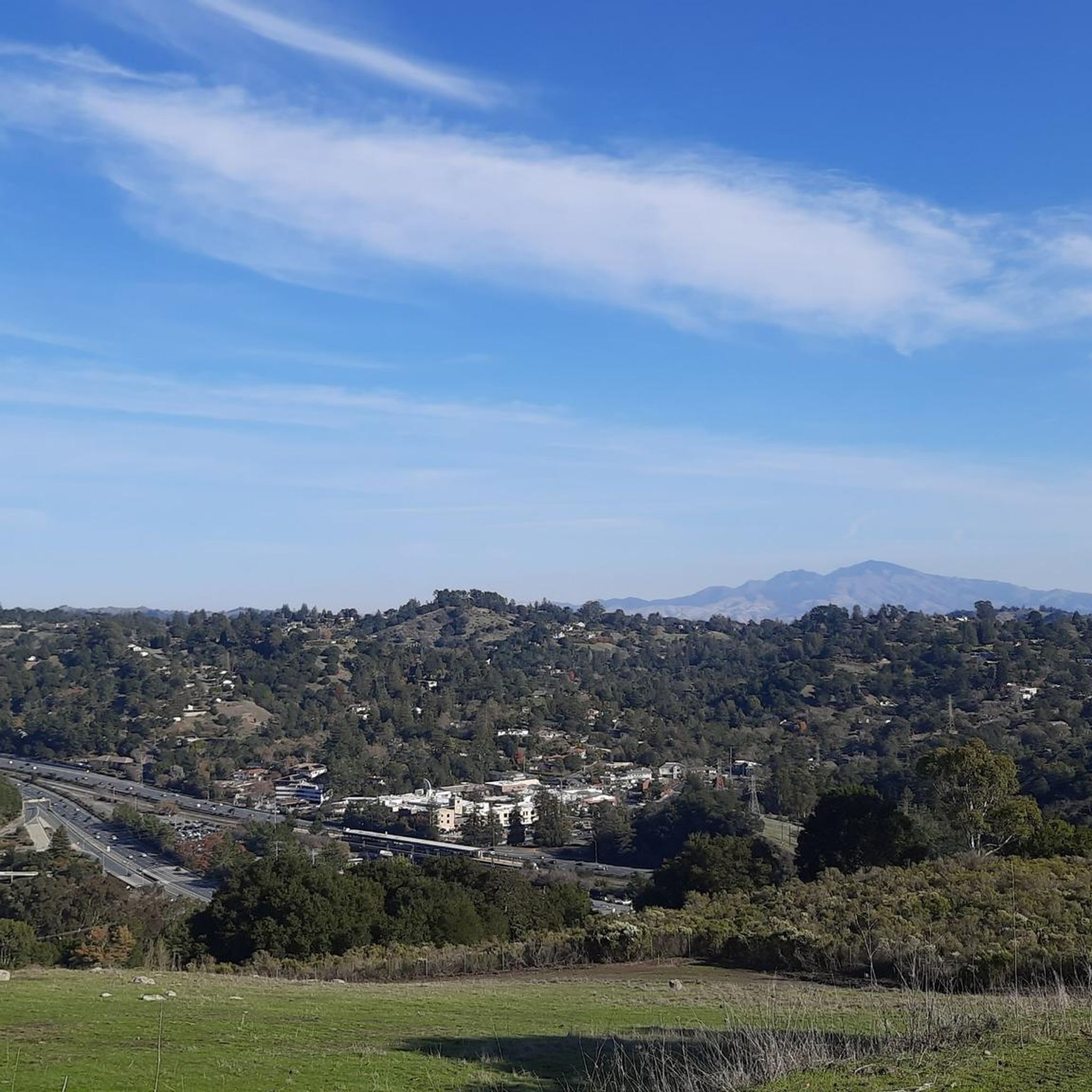
Best mountain peaks around Orinda are characterized by picturesque, rolling, oak-covered hills within the East Bay region. The area features numerous prominent natural elevations within its extensive regional park system. These locations provide opportunities for outdoor recreation and offer expansive vistas of the surrounding landscape.
Best mountain peaks around Orinda
- The most popular mountain peaks is Rancho La Boca Summit - Alhambra Valley Road, a summit that marks the highest point on Alhambra Valley Road. This location involves a…
Last updated: October 11, 2026
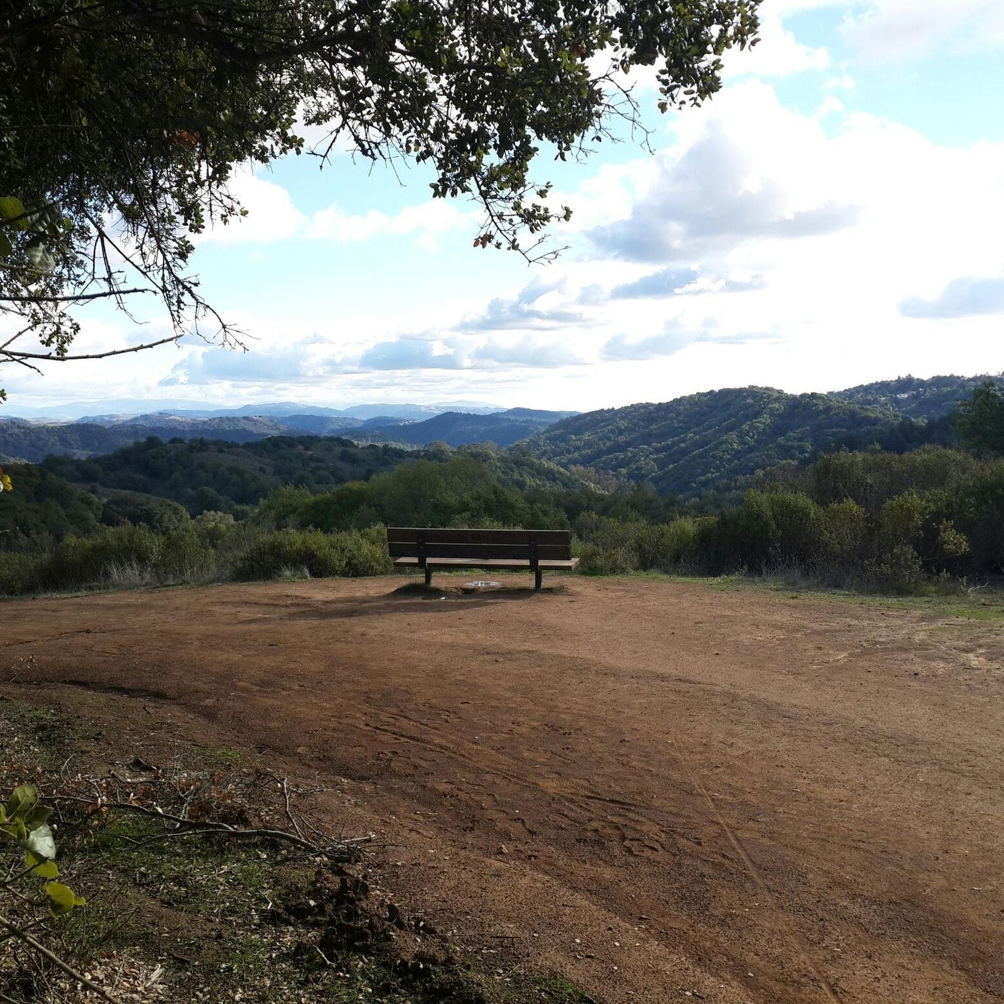
Wildcat Peak
Highlight • Viewpoint
Tip by

Grizzly Peak Vista Point
Highlight • Viewpoint
Tip by
Sign up now to discover places like this
Get recommendations on the best single tracks, peaks, & plenty of other exciting outdoor places.
Rancho La Boca Summit - Alhambra Valley Road
Highlight • Summit
Tip by
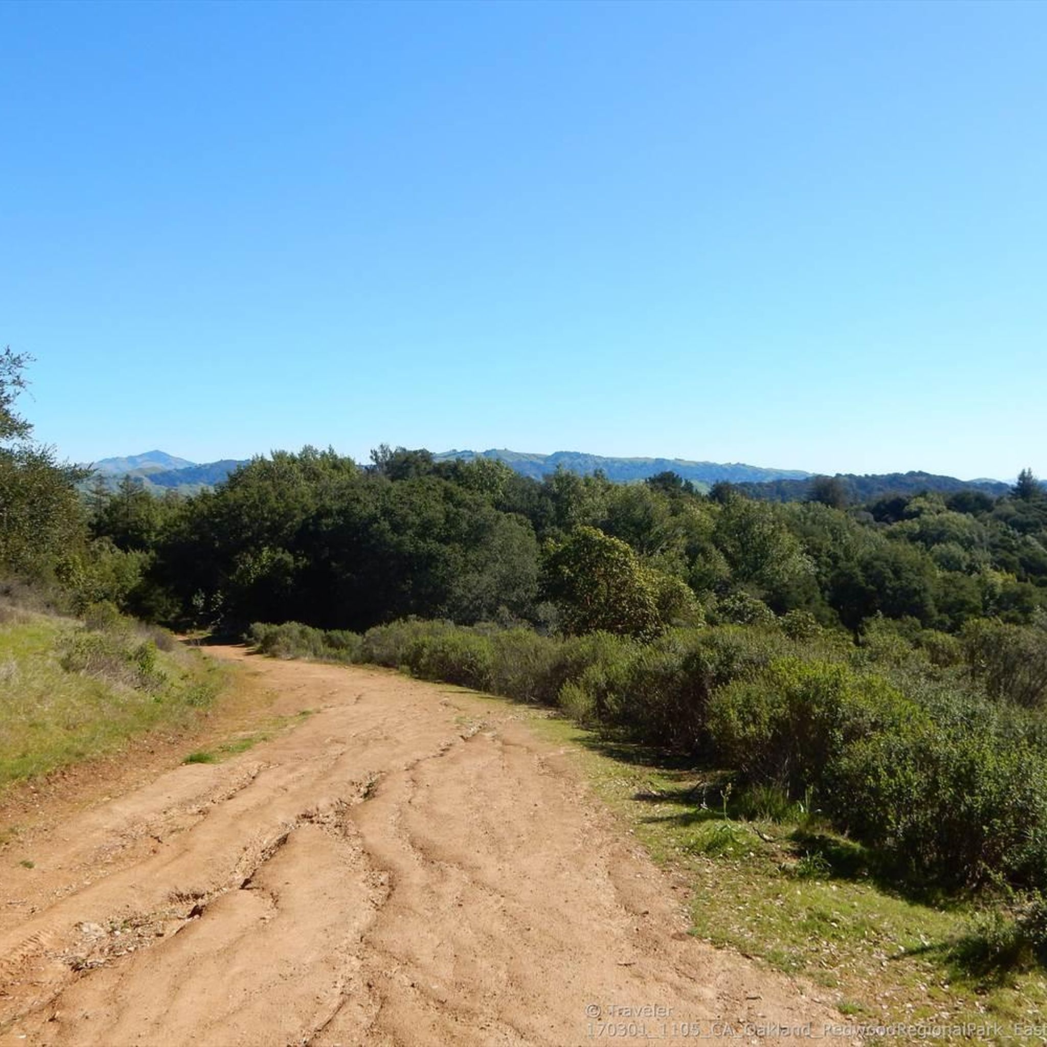
Redwood Peak
Highlight • Summit
Tip by

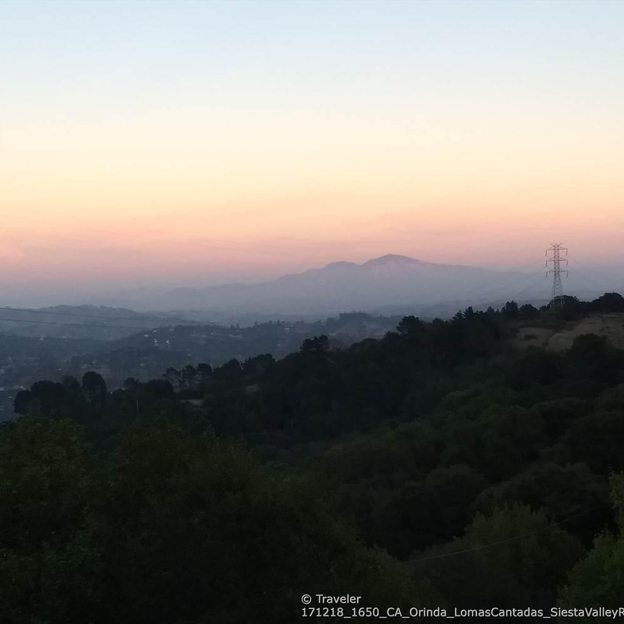
Briones Crest Trail
Highlight (Segment) • Trail
Tip by

Sign up for free to discover even more peaks around Orinda.
Already have an account?
Start today with a free account
Your next adventure awaits.

Tips from the Community

One of the wonderfull view from the park. Please discover this park. You will not regret it
0
0

Easy and fun hike for kids and adults, with spectacular views over the entire SF Bay, Golden Gate, Marin, Carquinez Straight, San Pablo Reservoir, and Briones Park.
0
0

The switchbacks of Centennial Drive open out to a parking lot and overlook. You are treated to sweeping views out across Berkely and San Francisco Bay all the way to the Golden Gate Bridge.
1
0

This area marks the highest point in the Briones Regional Park, and the sweeping views are truly stunning. Though the incline is rather steep, the effort is definitely worth it.
0
0

Gorgeous views of Berkeley and the SF Bay area from Wildcat Peak.
0
0
Incredible views over Berkeley and San Francisco Bay from the Grizzly Peak viewpoint.
0
0

You won't get expansive views atop this small knoll, thanks to the redwoods looming all around you — but it's worth tagging the summit to say you were there, and to enjoy the vibrant trees.
1
0

Lovely trail climbing up to the Lawrence Hall of Science with several spectacular vista points of Berkeley and the whole SF Bay.
1
0
Frequently Asked Questions
What are some of the most popular mountain peaks or elevated viewpoints around Orinda?
Visitors frequently enjoy Grizzly Peak Vista Point for its sweeping views across Berkeley and San Francisco Bay, extending to the Golden Gate Bridge. Another popular spot is Rancho La Boca Summit - Alhambra Valley Road, which marks the highest point on Alhambra Valley Road and offers a challenging climb. Las Trampas Ridge is also highly regarded for its extensive perspectives of the Ignacio, San Ramon, and Amador valleys, with Mount Diablo visible in the distance.
What kind of views can I expect from the peaks around Orinda?
The elevated areas around Orinda offer stunning panoramic views. From spots like Grizzly Peak Vista Point, you can see the San Francisco Bay, the Golden Gate Bridge, and Mount Tamalpais. Rocky Ridge, the highest point in the Berkeley Hills, provides extensive vistas that can include San Francisco and Mount Diablo. Tilden Regional Park's elevated trails, such as Vollmer Peaks Trail and Nimitz Way Trail, also offer remarkable views of the San Francisco Bay and surrounding hills.
Are there family-friendly mountain peaks or trails in the Orinda area?
Yes, several areas around Orinda are suitable for families. While specific peaks might involve steeper climbs, many regional parks offer accessible trails. For instance, Grizzly Peak Vista Point is family-friendly, offering great views. Tilden Regional Park, adjacent to Orinda, provides a range of activities beyond just views, including a botanic garden and a steam train, making it a great family destination with various elevated areas and trails.
What unique geological features can I explore near Orinda?
Sibley Volcanic Regional Preserve is a unique destination for geological exploration. Its highlight, Round Top, is the remnant of a 10-million-year-old volcano. Here, you can explore lava fields with volcanic debris, basaltic dikes, lava flows, and cinder piles, offering a dramatic volcanic rock landscape.
What wildlife might I encounter on the mountain peaks around Orinda?
The diverse ecosystems of the East Bay hills are home to various wildlife. In Briones Regional Park, you might spot black-tailed deer, coyotes, and red-tailed hawks. The California Coast Ranges habitats, including California mixed evergreen forests, chaparral, and grasslands, support a range of species, making wildlife observation a possibility on many trails.
What is the best time of year to visit the mountain peaks around Orinda?
The mountain peaks around Orinda can be enjoyed year-round. Spring brings lush green hills and wildflowers, while fall offers clear skies and comfortable temperatures for hiking. Summer mornings can be pleasant before the heat sets in, and winter provides cooler weather, though trails can be muddy after rain. Always check local weather conditions before heading out.
Are there opportunities for cycling or mountain biking near Orinda's peaks?
Absolutely. The region around Orinda is excellent for cycling and mountain biking. You can find various routes, including the challenging Three Bears Loop for cycling and the Tilden and Wildcat loop for mountain biking. For more options, explore the Cycling around Orinda, MTB Trails around Orinda, and Road Cycling Routes around Orinda guides.
Are there any historical or notable sites related to the peaks around Orinda?
Yes, Rocky Ridge, the second-highest mountain in Contra Costa County, is notable for its former use as a Nike Missile launch site. A partially paved road, once an access road for the site, now serves as a hiking path. Additionally, Sibley Volcanic Regional Preserve's Round Top is a significant geological site, being the remnants of an ancient volcano.
What are some longer hiking options or loop trails near Orinda's peaks?
For longer hikes and loop trails, Briones Regional Park offers the Briones Crest Trail, providing challenging hikes and sweeping views. Tilden Regional Park also features popular options like the Nimitz Way Trail and the Wildcat Peak Trail. You can find more detailed routes in the MTB Trails around Orinda guide, which includes routes like the Tilden and Wildcat loop and the Nimitz Way loop, many of which are also suitable for hiking.
Is public transport available to access mountain trails near Orinda?
While direct public transport to every trailhead can be limited, many regional parks in the East Bay, including Tilden and Briones, have bus routes that serve their general vicinity. It's advisable to check the AC Transit website for specific routes and schedules that might connect to park entrances or trailheads near Orinda.
Are dogs allowed on trails around Orinda's mountain peaks?
Many trails in the East Bay Regional Park District, which includes parks like Briones and Tilden, are dog-friendly. However, regulations can vary by specific park and trail, with some requiring dogs to be on leash. Always check the specific park's rules before bringing your dog to ensure a pleasant and compliant visit.
What should I wear when hiking the peaks around Orinda?
When hiking the peaks around Orinda, it's best to dress in layers, as temperatures can change throughout the day and with elevation. Comfortable, sturdy hiking shoes are essential. Sun protection, such as a hat, sunglasses, and sunscreen, is recommended due to exposed trails. Bringing enough water is also crucial, especially on longer or more strenuous hikes.
What do visitors particularly enjoy about the mountain peaks near Orinda?
Visitors consistently praise the incredible views, especially the panoramic vistas of the San Francisco Bay and surrounding areas from spots like Grizzly Peak Vista Point. The diverse landscapes, from oak woodlands to unique volcanic formations, and the extensive trail networks for various activities like hiking and biking are also highly appreciated. The opportunity for wildlife observation and the sense of escape into nature are significant draws.
Most popular attractions around Orinda

Get inspired with the komoot mobile app


Explore more
See even more amazing summits around Orinda with these guides:
