The best running trails around Sausalito
5.0
(2)
325
runners
18
runs
Jogging around Sausalito offers diverse terrain, from flat waterfront paths to challenging hilly routes. The region is characterized by its location along the San Francisco Bay, providing scenic views of the bay and the Golden Gate Bridge. Joggers can explore accessible multiuse pathways, climb through residential areas with panoramic vistas, or venture into the rugged coastal trails of the Marin Headlands. This blend of urban and natural landscapes makes Sausalito a varied destination for running.
Best jogging routes around Sausalito
- The most popular jogging route is Sausalito — Mill Valley Path – Bothin Marsh Preserve loop from Sausalito, a 6.2 miles (10.0 km) trail that takes 1 hour 2 minutes to complete. This route follows a paved pathway offering continuous bay views and opportunities for wildlife spotting.
- Another top favourite among local runners is Golden Gate Bridge Lookout loop from Sausalito, a difficult 6.1 miles (9.9 km) path. This route provides unparalleled views of the Golden Gate Bridge and the San Francisco skyline.
- Local runners also love the Gerbode Valley Trailhead – Rodeo Valley Trail loop from Sausalito, a 7.0 miles (11.2 km) trail leading through the Marin Headlands, often completed in about 1 hour 33 minutes.
- Jogging around Sausalito is defined by waterfront paths, hilly residential areas, and coastal trails. The network offers options for different ability levels, from easy, flat runs to more challenging climbs.
- The routes in Sausalito are highly rated by the komoot community with an average score of 5.0 stars from 2 reviews. More than 300 runners have used komoot to explore Sausalito's varied terrain.
Last updated: October 11, 2026
90
runners
Moderate run. Good fitness required. Mostly paved surfaces. Suitable for all skill levels.
62
runners
Hard run. Very good fitness required. Mostly paved surfaces. Suitable for all skill levels.

32
runners
6.62km
00:42
90m
90m
Moderate run. Good fitness required. Mostly paved surfaces. Suitable for all skill levels.
23
runners
7.51km
01:02
270m
270m
Moderate run. Good fitness required. Mostly paved surfaces. Suitable for all skill levels.
11
runners
13.8km
01:51
420m
420m
Hard run. Very good fitness required. Mostly paved surfaces. Suitable for all skill levels.
Get access to more routes and recommendations from other explorers.
Already have an account?
Our route recommendations are based on thousands of hikes, rides, and runs completed by other people on komoot.
Start today with a free account
Your next adventure awaits.

Tips from the Community

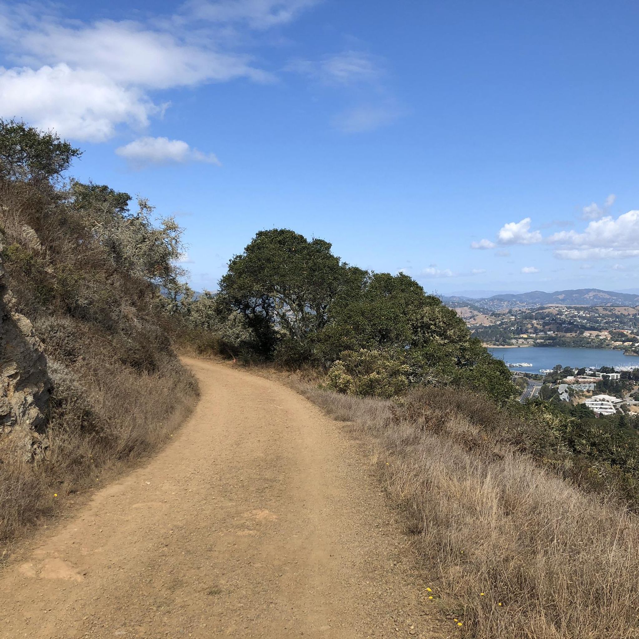
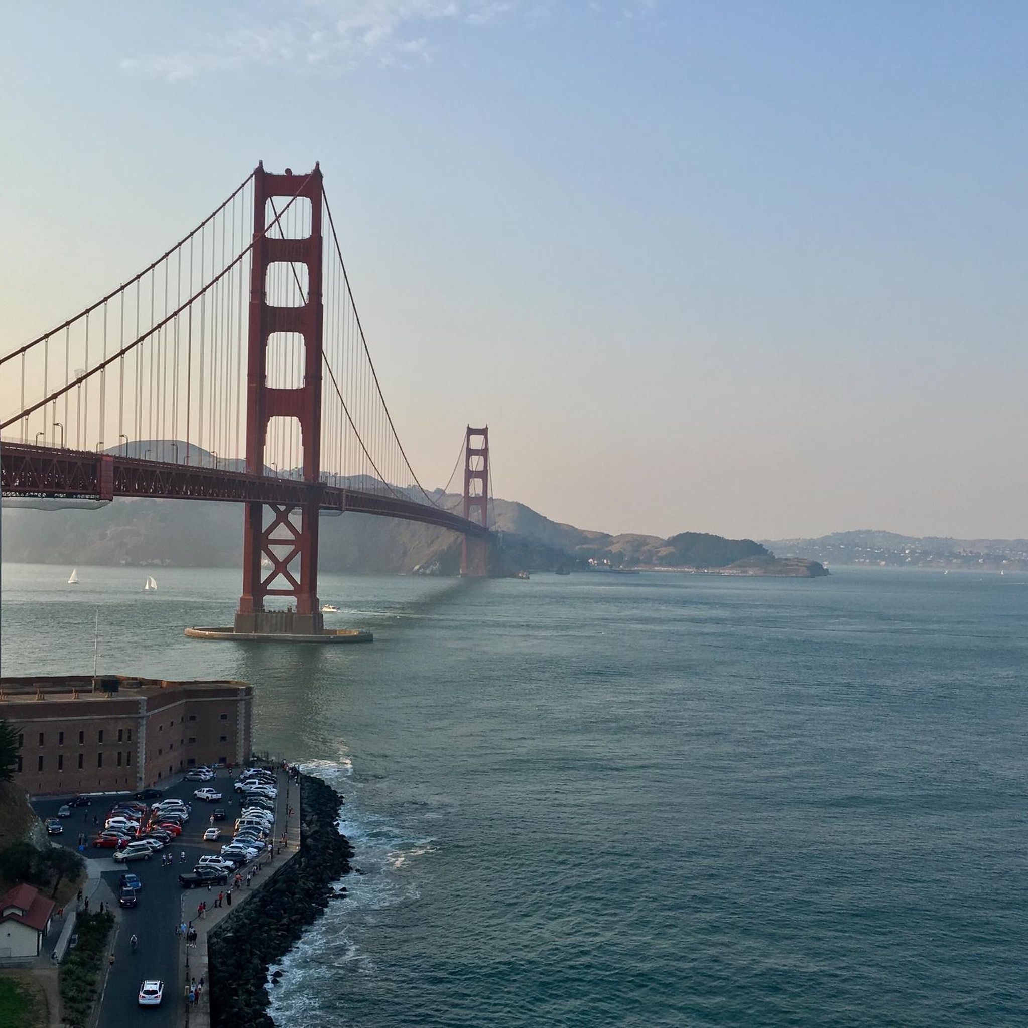
The reward of climbing up to this saddle on McCullough or Julian Trail is the spectacular view across the Golden Gate, and the bridge.
1
0

Hawk Hill is accessible via a short trail from Conzelman Road. From the summit you'll have a panoramic view of the Golden Gate Bridge, San Francisco, and the Headlands.
0
0

From here, you can take in incredible views of the Golden Gate Bridge & the city of San Francisco. Off in the distance, you will get a glimpse of Alcatraz.
0
0

Might as well run this trail, since it'll take your breath away with its heartbreakingly beautiful views of the Golden Gate Bridge, San Francisco, the Bay, and beyond into the open ocean. (Sorry, I couldn't resist the dad joke, but you get the point...)
0
0

"Old Town" is the original Whaler's Cove and the location of the first homes and roads in Sausalito. In the mid-1800s, a hillside in this area was filled with mines to feed a manganese smelting operation when the mineral's price spiked and the demand soared. The neighborhood is primarily a residential area, with a nickname of "Hurricane Gulch" due to the strong winds that come through here in the afternoons. Keep an eye out for North, East, West, and South Streets in this neighborhood as they mark the original 150-year-old borders of early Sausalito. There is an Italian restaurant here and the award-winning Golden Gate Market Deli, which serves excellent sandwiches!
0
0
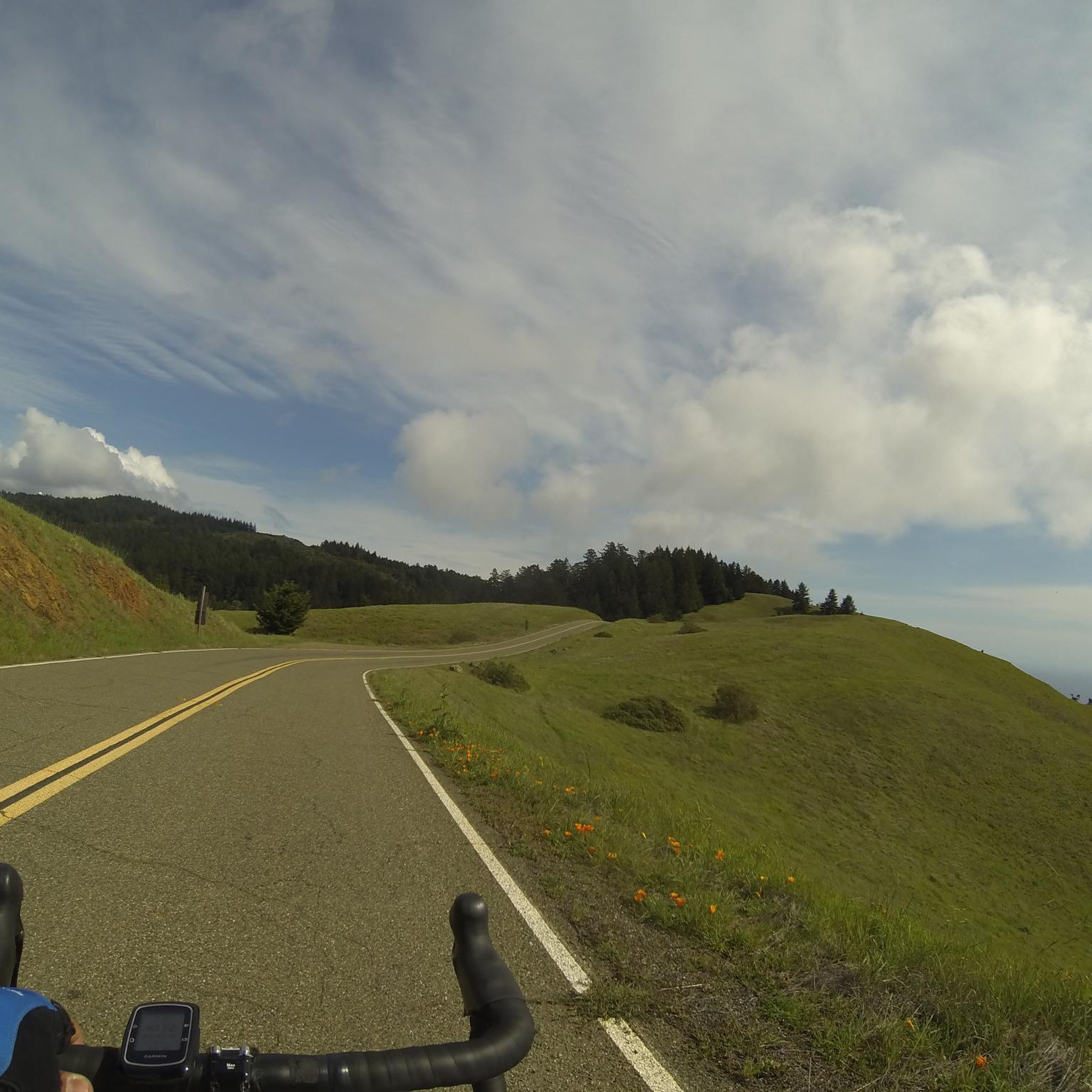
This road is the southernmost in Marin Headlands and begins just northwest of the Bridge, offering an incredible perspective of the East Bay, the Golden Gate Bridge, and Alcatraz. The two Vista points near the Bridge from Battery East may look familiar, as they have been in countless movie shots. The road continues to Hawk Hill, with spectacular views of the Pacific Ocean and majestic falcons flying overhead, hence the name. The road continues to a dead end at Point Bonita Lighthouse, where you can park your bike and walk up the short trail for more amazing views of the dramatic rocky coastline and the crashing waves below you.
0
0

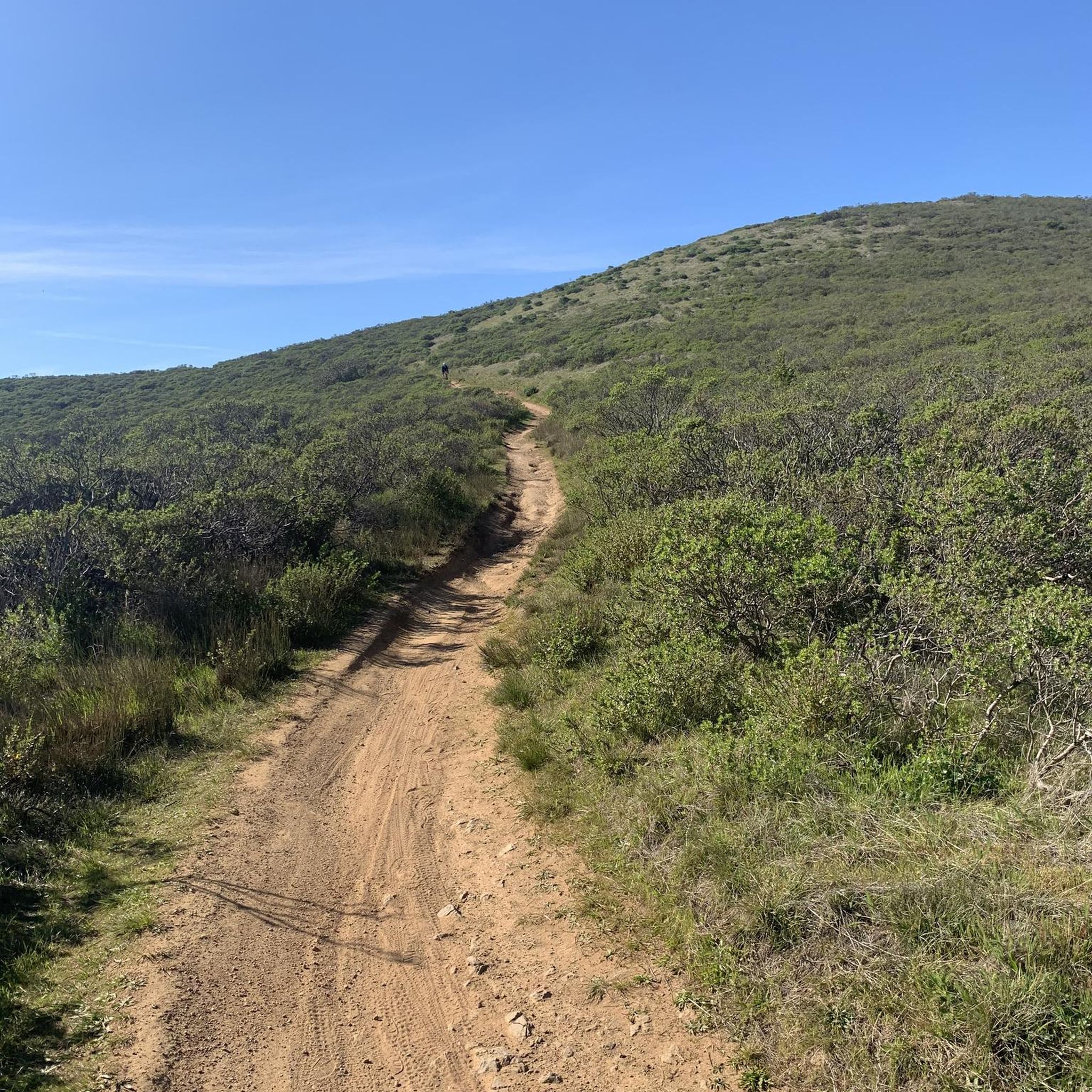
Slacker Hill, standing at around 942 feet, boasts the highest elevation closest to the Golden Gate Bridge, offering outstanding views of the surrounding area. True to its name, this place entices you to slack off all day to stay and enjoy the views.
1
0

Another photo spot for part of the Golden Gate and San Francisco
0
0
Frequently Asked Questions
What types of running routes can I find in Sausalito?
Sausalito offers a diverse range of running experiences. You'll find flat, scenic waterfront paths like the Sausalito — Mill Valley Path – Bothin Marsh Preserve loop, challenging hilly routes through residential areas with panoramic views, and rugged coastal trails within the Marin Headlands. This variety ensures options for all fitness levels.
Are there any easy or beginner-friendly running trails in Sausalito?
Yes, for beginners or those seeking a relaxed run, the waterfront paths are ideal. The Mill Valley-Sausalito Multiuse Pathway, accessible from Sausalito, is a 3.7-mile paved, flat, and wide path offering continuous bay views. It's perfect for an easy jog and is part of the San Francisco Bay Trail.
Where can I find more challenging running routes with significant elevation gain?
For a more strenuous workout, explore Sausalito's hilly residential areas or venture into the Marin Headlands. Routes like the Golden Gate Bridge Lookout loop from Sausalito or the Gerbode Valley Trailhead – Rodeo Valley Trail loop offer substantial elevation changes and rewarding views.
What are some notable landmarks or viewpoints I can see while running in Sausalito?
Many running routes offer stunning views. You can enjoy unparalleled vistas of the Golden Gate Bridge and the San Francisco skyline, especially on routes like the Golden Gate Bridge Lookout loop. The Marin Headlands also provide breathtaking coastal views. For specific viewpoints, consider visiting Golden Gate Bridge Overlook Battery Spencer or the top of Engagement Hill for panoramic bay views.
Are there any family-friendly running routes in Sausalito?
Absolutely. The Mill Valley-Sausalito Multiuse Pathway is an excellent choice for families due to its flat, paved surface and scenic bay views. It's wide enough for strollers and offers a safe environment for all ages to enjoy a run or walk together.
Can I bring my dog on the running trails in Sausalito?
Many trails in and around Sausalito are dog-friendly, especially those in the Marin Headlands and some paved multiuse paths. However, it's always best to check specific trail regulations for leash requirements and any restricted areas before heading out with your furry friend.
Are there running routes that form a loop in Sausalito?
Yes, many routes are designed as loops, allowing you to start and finish in the same location. Examples include the popular Sausalito — Mill Valley Path – Bothin Marsh Preserve loop and the more challenging Slacker Hill Viewpoint loop, offering varied distances and difficulties.
What is the best time of year to go running in Sausalito?
Sausalito generally offers pleasant running conditions year-round. Spring and fall often provide mild temperatures and clear skies, ideal for enjoying the scenic views. Summer can be foggy, especially in the mornings, which can offer a cooler running experience. Winters are typically mild but can bring rain, so be prepared for wet conditions.
Are there places to park near the running trails?
Parking is available in various locations throughout Sausalito, including public lots near the waterfront and trailheads leading into the Marin Headlands. It's advisable to check local signage for parking restrictions and fees, especially in popular areas.
How can I access Sausalito's running routes using public transport?
Sausalito is accessible by public transport, including ferries from San Francisco and local bus services. Many running routes, particularly those along the waterfront and connecting to the Mill Valley-Sausalito Multiuse Pathway, are within walking distance of public transport stops. For routes further afield in the Marin Headlands, you might need to combine public transport with a short walk or ride-share.
What do other runners enjoy most about jogging in Sausalito?
The running routes in Sausalito are highly rated by the komoot community, with an average score of 5.0 stars. Runners frequently praise the stunning bay and Golden Gate Bridge views, the diverse terrain catering to all abilities, and the opportunity to spot local wildlife along the waterfront paths.
Are there any cafes or amenities near the running routes?
Sausalito's charming downtown area, located along the waterfront, offers numerous cafes, restaurants, and shops. Many running routes, especially those along the Bridgeway Promenade and the Mill Valley-Sausalito Multiuse Pathway, are conveniently close to these amenities, perfect for a post-run refreshment.
Most popular routes around Sausalito
Most popular attractions around Sausalito

Get inspired with the komoot mobile app


Explore more
Browse the best Running Trails & Routes in other regions.
