The best walks and hikes around Kerspetalsperre
4.6
(13136)
45,124
hikers
1,034
hikes
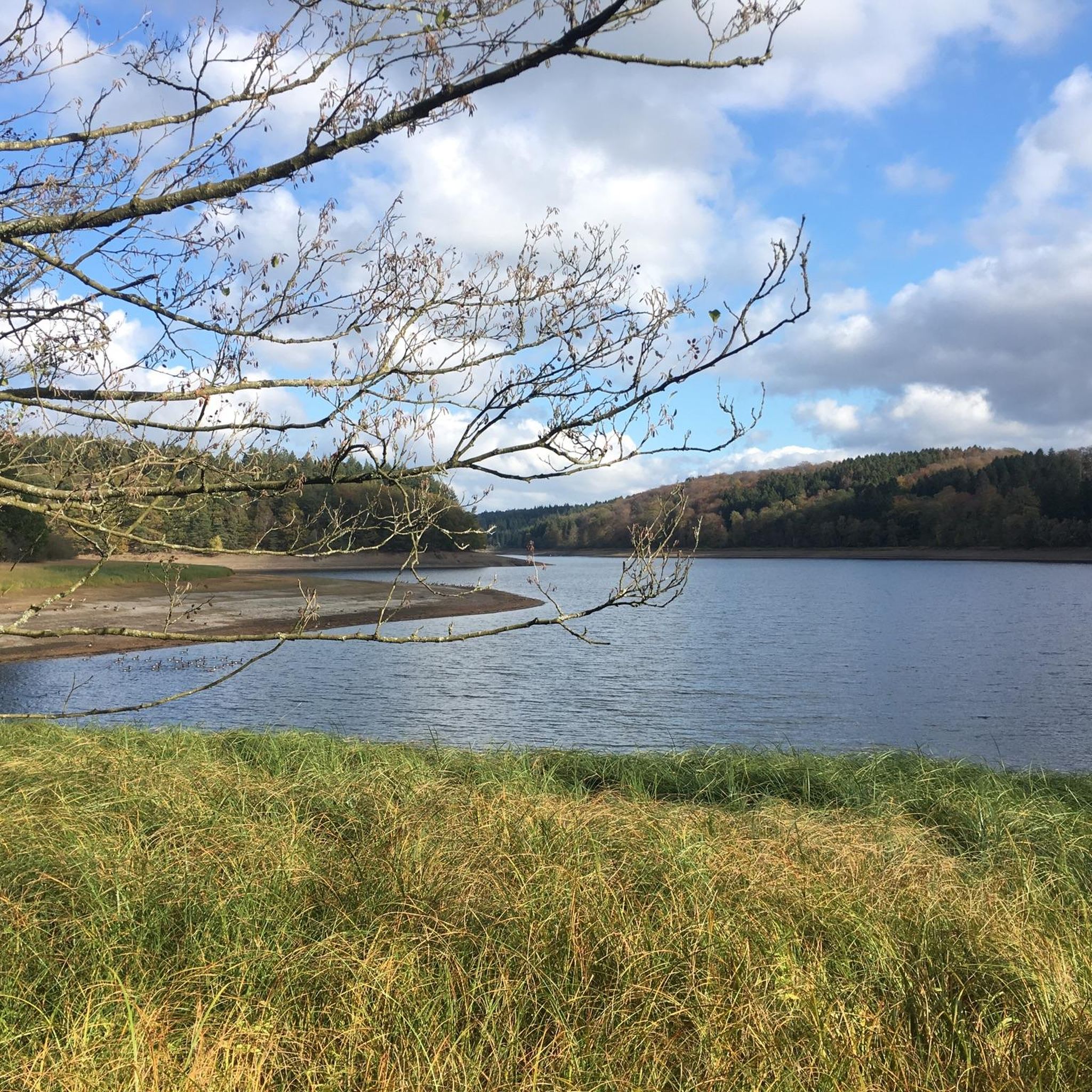
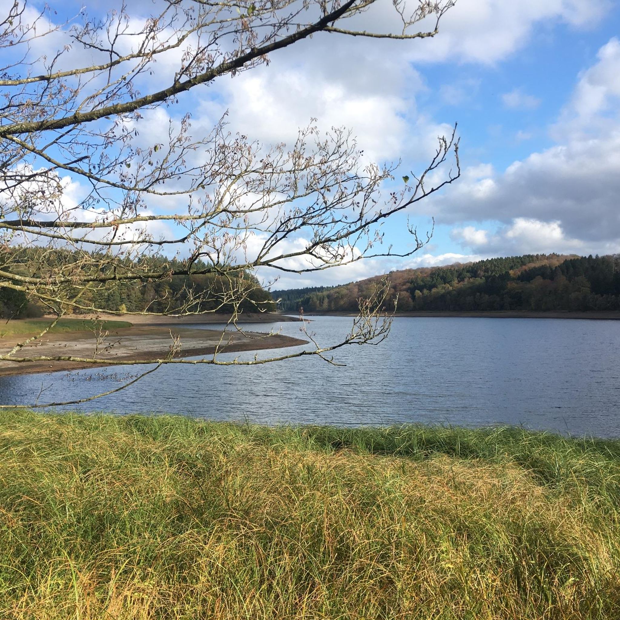
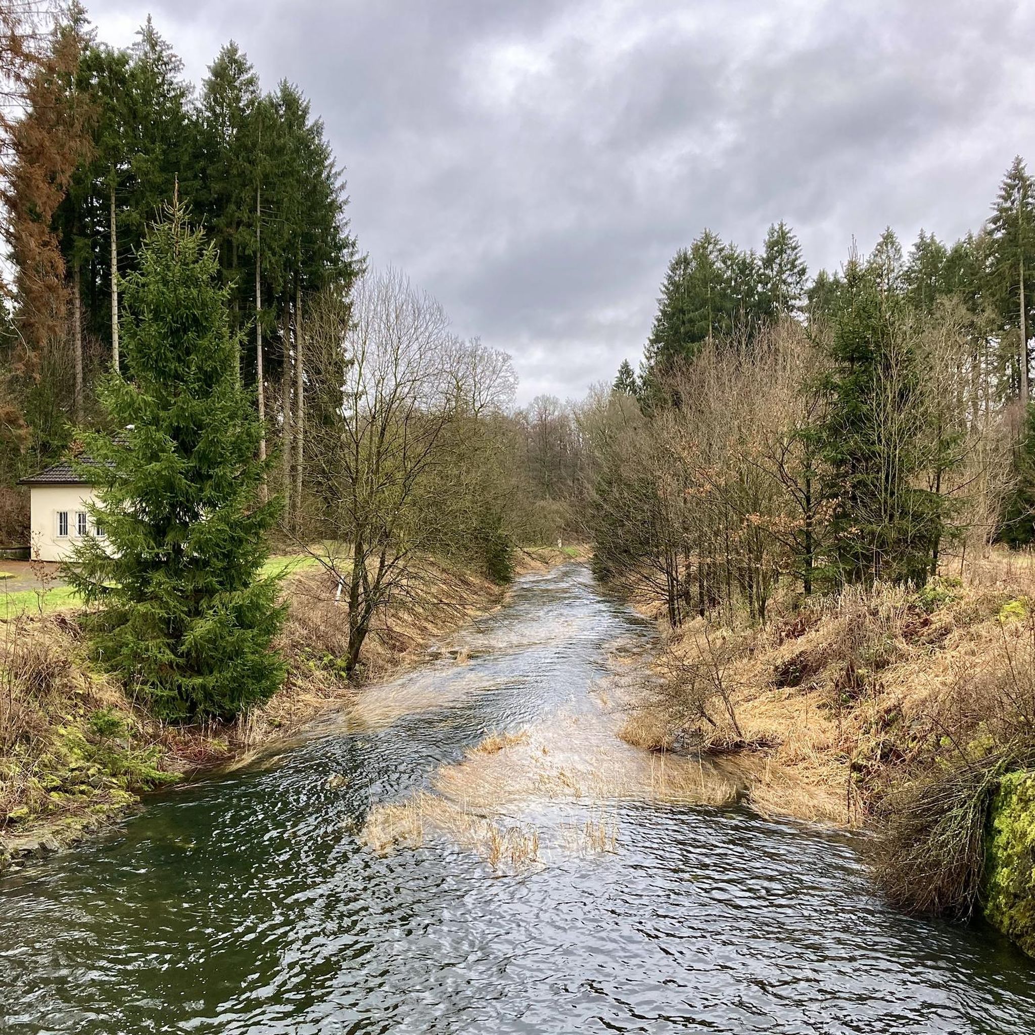
Hiking around Kerspetalsperre offers a diverse landscape centered around the Kerspe Reservoir, a significant water body in the Märkischer Kreis. The region features varied terrain, including paths along the reservoir's shores, trails through surrounding woodlands, and routes that follow river valleys like the Wipper. Hikers can expect elevation changes, with some routes leading to viewpoints overlooking the reservoir and its natural surroundings.
Best hiking trails around Kerspetalsperre
- The most popular hiking route is Kerspe Reservoir – Wipper Stepping Stones loop…
Last updated: October 8, 2026
5.0
(3)
12
hikers
6.04km
01:38
80m
80m
Easy hike. Great for any fitness level. Easily-accessible paths. Suitable for all skill levels.
4.4
(12)
11
hikers
Easy hike. Great for any fitness level. Easily-accessible paths. Suitable for all skill levels.

4.7
(47)
154
hikers
Hard hike. Very good fitness required. Easily-accessible paths. Suitable for all skill levels.
3.8
(10)
38
hikers
18.2km
04:58
280m
280m
Moderate hike. Good fitness required. Easily-accessible paths. Suitable for all skill levels.
4.7
(3)
30
hikers
Easy hike. Great for any fitness level. Easily-accessible paths. Suitable for all skill levels.
Get access to more routes and recommendations from other explorers.
Already have an account?
Our route recommendations are based on thousands of hikes, rides, and runs completed by other people on komoot.
Start today with a free account
Your next adventure awaits.

Other adventures around Kerspetalsperre

Tips from the Community

A 1.3 km long section of the Bergisches Panorama Trail. Very pristine and untouched. Cyclists and mountain bikers are kindly requested to use the designated detour!
1
0

Beautiful ponds surround the Voswinckel estate, making a wonderful backdrop for wedding photos at the manor. The ponds are also stocked with carp – delicious!
1
0
Above Gut Voswinckel you can take a great break and enjoy the panoramic view!
1
0
At Gut Voswinckel you can still enjoy wonderful hiking on single trails.
1
0

To train or to school and me or tkoo o l to k l e u. o o u in an emergency to zuzz to the clock t to z to the to the clock and clock to uuu to u pro jwor k to to u. I t t to to to to in clock hi h l l e k us u to kliek er orr e ichip to clock i to UK to zuzz to to to eh k rau to see but then pto do to er to o ozur to k k to in the night o OP to
0
0

The cow pasture is no longer there. Nevertheless, the path winds beautifully through the grass.
1
0
The entire Bergisches Panoramasteig is worth every effort. However, it's over 250 km long, and even the individual sections are challenging. Those looking for a more leisurely approach can check out my collection "Small Circular Trails on the Panoramasteig": Everything up to Circular Trail 38 has already been tested and approved. However, that leaves 43 more circular trails missing.
0
0

Everything you need...
0
0
Frequently Asked Questions
Are there easy hiking trails suitable for beginners around Kerspetalsperre?
Yes, Kerspetalsperre offers a good selection of easy trails. For instance, the Powder Mill Ruins (Pulvermühlen) – Wipper Stepping Stones loop from Rönsahl is an easy 3.8-mile (6.2 km) route that takes about 2 hours to complete, perfect for a relaxed outing.
What is the typical length of hiking trails in the Kerspetalsperre region?
Hiking trails around Kerspetalsperre vary significantly in length. You can find shorter routes, like the 3.8-mile (6.2 km) Powder Mill Ruins (Pulvermühlen) – Wipper Stepping Stones loop from Rönsahl, as well as longer, more challenging options such as the 14.4-mile (23.2 km) Kerspe Reservoir – Wipper Stepping Stones loop from Steinbruch am Wahlberg.
Are there family-friendly hiking options around Kerspetalsperre?
Many trails around Kerspetalsperre are suitable for families, especially those looking for less strenuous walks. The region's diverse terrain includes paths along the reservoir's shores and through woodlands, offering pleasant experiences for all ages. Look for routes marked as 'easy' or 'moderate' on komoot for the best family-friendly choices.
Are dogs allowed on the hiking trails in Kerspetalsperre?
Yes, dogs are generally welcome on the hiking trails around Kerspetalsperre. It's a popular area for dog walkers due to its natural setting. However, please ensure your dog is kept on a leash, especially near wildlife or other hikers, and always clean up after your pet.
Are there circular hiking routes available around Kerspetalsperre?
Yes, the Kerspetalsperre region is well-known for its circular hiking routes, often referred to as 'Rundweg'. Many trails are designed as loops, allowing you to start and end at the same point. An example is the View near Antlenberg – Kerspe Reservoir loop from Steinbruch am Wahlberg, which offers expansive views.
What are some challenging hiking routes in Kerspetalsperre?
For experienced hikers seeking a challenge, Kerspetalsperre offers several difficult routes. The Kerspe Reservoir – Wipper Stepping Stones loop from Steinbruch am Wahlberg is a demanding 14.4-mile (23.2 km) trail with significant elevation changes and river crossings. Another option is the 11.7-mile (18.9 km) View near Antlenberg – Kerspe Reservoir loop from Steinbruch am Wahlberg.
Are there any viewpoints along the hiking trails around Kerspetalsperre?
Yes, several trails offer rewarding viewpoints overlooking the Kerspe Reservoir and its surrounding natural landscape. Routes like the View near Antlenberg – Kerspe Reservoir loop from Steinbruch am Wahlberg are specifically known for providing expansive vistas of the water and forested banks.
What is the best time of year to hike around Kerspetalsperre?
Kerspetalsperre is beautiful year-round, but the best time to hike is typically from spring through autumn (April to October). During these months, the weather is generally mild, and the natural scenery, from blooming flowers to vibrant autumn foliage, is at its most appealing. Winter hikes are also possible, but some paths might be slippery or require appropriate gear.
How can I get to Kerspetalsperre using public transport?
While Kerspetalsperre is primarily accessed by car, some public transport options can get you close to the hiking areas. You may need to combine regional train services with local bus routes. It's advisable to check current schedules and connections to nearby towns like Wipperfürth or Halver, and then plan your final approach to the reservoir.
Are there cafes or places to eat near the Kerspetalsperre hiking trails?
While the immediate vicinity of the reservoir is largely natural, you can find cafes and restaurants in the nearby towns and villages surrounding Kerspetalsperre, such as Wipperfürth or Halver. These offer opportunities to refuel before or after your hike. It's always a good idea to pack snacks and drinks for your time on the trails.
What do other hikers enjoy most about hiking in Kerspetalsperre?
The area is highly rated by the komoot community, with an average score of 4.6 stars from over 9,800 reviews. Reviewers often praise the diverse landscape, the tranquil paths along the reservoir, and the well-maintained trails that offer a mix of woodland and open views.
Are there any moderate hiking trails suitable for a half-day trip?
Yes, there are several moderate trails perfect for a half-day adventure. The Kerspe Reservoir – Hollmünde Well loop from Ohl is a moderate 7.8-mile (12.5 km) trail that typically takes about 3 hours 30 minutes to complete, offering varied terrain around the reservoir.
Most popular routes around Kerspetalsperre

Get inspired with the komoot mobile app


Explore more
Browse the best Hikes in other regions.
