The best running trails around Jubachtalsperre
4.3
(571)
5,158
runners
253
runs
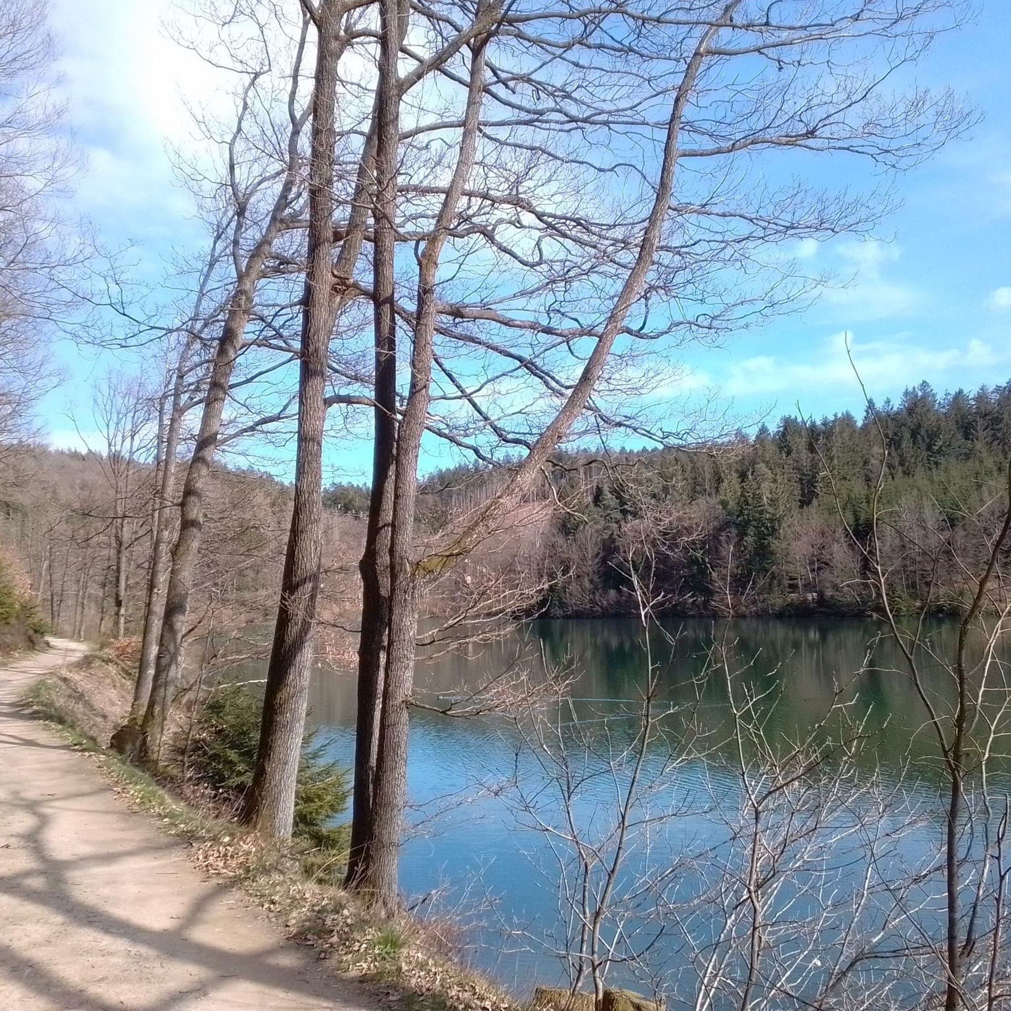
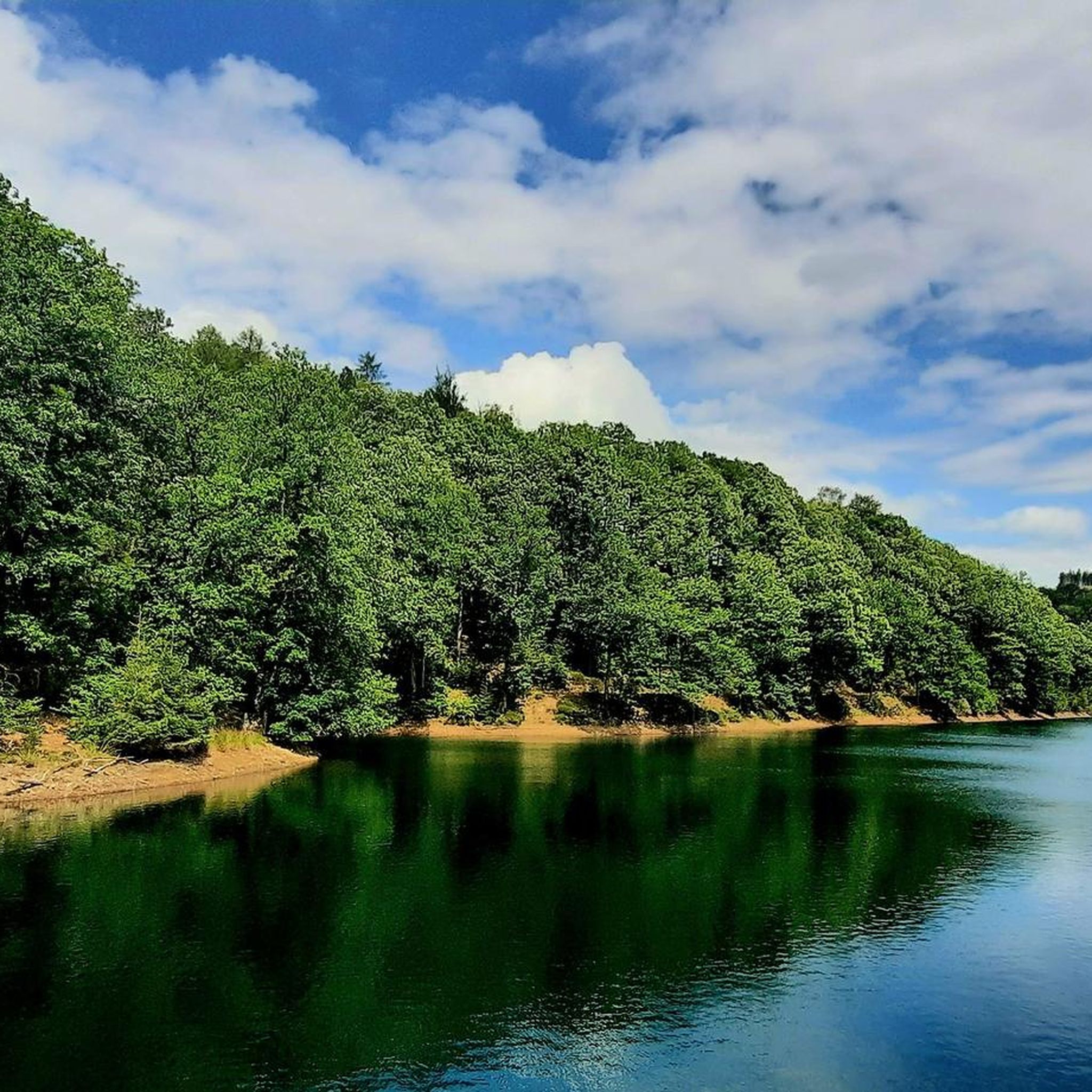
Jogging routes around Jubachtalsperre traverse a landscape characterized by wide meadows, extensive forests, and diverse elevation changes within the Sauerland Rothaargebirge Nature Park. The central feature is the Jubachtalsperre drinking water reservoir, offering scenic views along its paths. The area includes the dam itself and the nearby Volme River, contributing to the tranquil setting and riverside trails.
Best jogging routes around Jubachtalsperre
- The most popular jogging route is Jubachtalsperre – Jubach Dam loop from Stubach-Tal, a 2.2 miles (3.5…
Last updated: July 4, 2026
5.0
(1)
33
runners
24.8km
02:52
500m
500m
Hard run. Very good fitness required. Mostly accessible paths. Some sure footedness required.
5.0
(6)
39
runners
3.53km
00:24
50m
50m
Easy run. Great for any fitness level. Mostly paved surfaces. Suitable for all skill levels.

Sign up for free
4.7
(7)
28
runners
4.82km
00:32
60m
60m
Easy run. Great for any fitness level. Mostly paved surfaces. Suitable for all skill levels.
4.0
(1)
7
runners
5.10km
00:33
50m
50m
Moderate run. Good fitness required. Mostly paved surfaces. Suitable for all skill levels.
4.0
(1)
15
runners
11.9km
01:16
140m
140m
Moderate run. Good fitness required. Mostly paved surfaces. Suitable for all skill levels.
Get access to more routes and recommendations from other explorers.
Sign up for free
Already have an account?
Our route recommendations are based on thousands of hikes, rides, and runs completed by other people on komoot.
Start today with a free account
Your next adventure awaits.
Login or Signup
Tips from the Community


This memorial stone was dedicated in 1950 to local poet Fritz Linde, born July 26, 1882. On September 30, 1950, it was ceremoniously dedicated by the then mayor, Otto Ruhe, and Wilhelm Lienenkämper (natural monument conservator), along with schoolchildren. This place was an inspiration for Fritz Linde. He wrote several of his texts there. He wrote primarily Low German poems and stories, which were published in four books. (Source: Kierspe.de)
1
0

Free parking with bench and hiking sign
0
0
Temporary bridge over the Volme near Neue Brücke.
1
0
Nice place to rest and get information!
0
0
I was really looking forward to the treasure chest, but someone got there before me and took it...
0
0
Standing here in the Sauerland, you can take a look into the Bergisches Land!
0
0
Very beautiful rock near the dam.
1
0
Frequently Asked Questions
How many running routes are available around Jubachtalsperre?
The Jubachtalsperre area offers a wide variety of running experiences, with over 220 routes available. These range from easy, flat paths perfect for a leisurely jog to more challenging trails with significant elevation changes.
Are there any easy, circular running routes around Jubachtalsperre?
Yes, the Jubachtalsperre is well-known for its popular circular route that closely follows the water. An excellent option is the Jubach Dam – Shore Path at the Reservoir loop from Vollme, an easy 3.0-mile (4.8 km) path featuring mostly paved or natural surfaces along the dam's shore. This route offers consistent scenic views across the reservoir.
What kind of terrain can I expect on the jogging trails in Jubachtalsperre?
The running routes around Jubachtalsperre traverse diverse terrain, including wide meadows, extensive forests, and varied elevation changes. You'll find paths with gravel, forest, and woodland surfaces, as well as some paved sections, especially along the reservoir's shorelines.
Are there any specific landmarks or viewpoints to look out for while running?
Absolutely! The Jubachtalsperre area is rich in scenic spots. Along the circular trail, you can find 'forest sofas' for relaxing breaks and a panoramic picture frame for unique photo opportunities. The historic Jubach Dam wall, built between 1904 and 1906, is also a notable point of interest. Other natural features include the Jubach Reservoir itself and the nearby Volme River.
Is Jubachtalsperre a good place for family-friendly running or walking?
Yes, the Jubachtalsperre is very suitable for families. The main circular route, such as the Jubachtalsperre – Jubach Dam loop from Stubach-Tal, is considered easy and suitable for all fitness levels, making it ideal for a family outing. The mostly flat and well-maintained paths ensure a pleasant experience for everyone.
Where can I park when visiting the Jubachtalsperre for a run?
For convenient access to the running trails, there is a designated hiking parking lot at Herlinghausen-Vollme. This serves as an excellent starting point for exploring the area's routes, including those around the reservoir.
Can I bring my dog on the running trails around Jubachtalsperre?
While the region is very natural, it's important to note that Jubachtalsperre is a drinking water reservoir. Therefore, specific rules regarding dogs might apply, especially concerning access to the water's edge. Generally, dogs are welcome on trails but should be kept on a leash, and owners are expected to clean up after them. Always check local signage for any specific restrictions.
What do other runners enjoy most about jogging in Jubachtalsperre?
The running routes in Jubachtalsperre are highly rated by the komoot community, with an average score of 4.4 stars from over 480 reviews. Runners often praise the serene environment, the picturesque views across the water, and the variety of paths through forests and meadows. The well-maintained circular route around the dam is a particular favorite for its accessibility and beauty.
Are there any longer or more challenging running routes in the broader Kierspe area?
Yes, for those seeking a longer or more challenging run, the broader Kierspe area offers a variety of trails with more varied elevation profiles. An example is the Reiterhof Kierspe – Fritz-Linde-Stein loop from Kierspe, a moderate 7.4-mile (11.9 km) trail that takes about 1 hour 15 minutes to complete.
What is the best time of year to go running in Jubachtalsperre?
Jubachtalsperre offers beautiful running conditions throughout the year. Spring and autumn provide pleasant temperatures and vibrant natural colors, while summer is ideal for early morning or late afternoon runs. Even in winter, the trails can be enjoyed, offering a tranquil, reflective landscape, though some paths might be slippery or require appropriate footwear.
Are there any cafes or places to get refreshments near the running routes?
While the immediate area around the Jubachtalsperre reservoir is primarily natural, the nearby town of Kierspe offers various amenities, including cafes and restaurants, where you can find refreshments after your run. It's a good idea to plan your route to pass through or near Kierspe if you're looking for dining options.
Can I reach the Jubachtalsperre running trails using public transport?
Access to the Jubachtalsperre area is primarily convenient by car, with dedicated parking available. While public transport options might be limited directly to the reservoir, local bus services connect to Kierspe, from where you might be able to access some starting points for the trails. It's advisable to check local bus schedules for the most up-to-date information.
Most popular routes around Jubachtalsperre
Most popular attractions around Jubachtalsperre

Get inspired with the komoot mobile app


Explore more
Browse the best Running Trails & Routes in other regions.
