The best road cycling routes around Breitenbachtalsperre
4.5
(299)
4,160
riders
115
rides
Road cycling around Breitenbachtalsperre offers routes through a hilly, wooded landscape within the Siegerland region. The area features an undulating terrain with extensive forests and the Breitenbachtalsperre reservoir at its center. Road cyclists can find well-maintained paths, including an asphalted circular path around the reservoir, alongside routes with varying elevation gains. This diverse terrain provides options for different cycling abilities.
Best road cycling routes around Breitenbachtalsperre
- The most popular road cycling route is Benfetal – B62 Applause Curve loop from…
Last updated: July 15, 2026
5.0
(2)
108
riders
56.6km
02:37
650m
650m
Moderate road ride. Good fitness required. Mostly well-paved surfaces and easy to ride.
4.9
(8)
54
riders
41.8km
02:03
570m
570m
Moderate road ride. Good fitness required. Some segments of this route may be unpaved and difficult to ride.

Sign up for free
60
riders
77.7km
03:30
790m
790m
Moderate road ride. Good fitness required. Mostly well-paved surfaces and easy to ride.
3.5
(2)
40
riders
87.5km
04:03
1,030m
1,030m
Hard road ride. Very good fitness required. Mostly well-paved surfaces and easy to ride.
5.0
(1)
27
riders
91.1km
03:59
790m
790m
Moderate road ride. Good fitness required. Mostly well-paved surfaces and easy to ride.
Get access to more routes and recommendations from other explorers.
Sign up for free
Already have an account?
Our route recommendations are based on thousands of hikes, rides, and runs completed by other people on komoot.
Start today with a free account
Your next adventure awaits.
Login or Signup

Tips from the Community

Superb view over the Siegerland.
0
0

The Sieg spring is beautifully contained. At least I have never experienced the spring drying up in 25 years. Officially not drinking water - but I have drawn many liters of water here and have never had any problems.
1
0

Former train station, now only a request stop. It used to have a restaurant – now it's just an event venue open only for private parties.
0
0

Beautiful and unusual view of Attendorn and Schnellenberg Castle
0
0
Great driving route along the ridge of the Rothaargebirge.
1
0
Superb views after the bark beetle has been infesting.
0
0
Beautifully restored source of the Sieg on the edge of the Rothaargebirge.
1
0

Frequently Asked Questions
How many road cycling routes are available around Breitenbachtalsperre?
There are over 120 road cycling routes in the Breitenbachtalsperre area, catering to various skill levels. You'll find a mix of easy, moderate, and difficult options to explore.
What is the typical terrain for road cycling around Breitenbachtalsperre?
The region is characterized by a hilly, wooded landscape within the Siegerland. You can expect undulating terrain with extensive forests. While the immediate reservoir loop offers a relatively flat and accessible experience, many routes feature varying elevation gains for more challenging rides.
Are there family-friendly road cycling options around Breitenbachtalsperre?
Yes, the asphalted circular path around the Breitenbachtalsperre reservoir is ideal for leisurely rides and families. It spans approximately 5.3 to 6 kilometers and provides a smooth, accessible experience.
What kind of elevation gain can I expect on road cycling routes here?
Elevation gains vary significantly. While the reservoir loop is relatively flat, many routes in the surrounding Siegerland region include substantial climbs. For example, the Breitenbach Reservoir – Bad Berleburg loop from Hillnhütten covers 80 kilometers with nearly 800 meters of elevation gain, offering a challenging experience.
What landmarks or viewpoints can I see while road cycling near Breitenbachtalsperre?
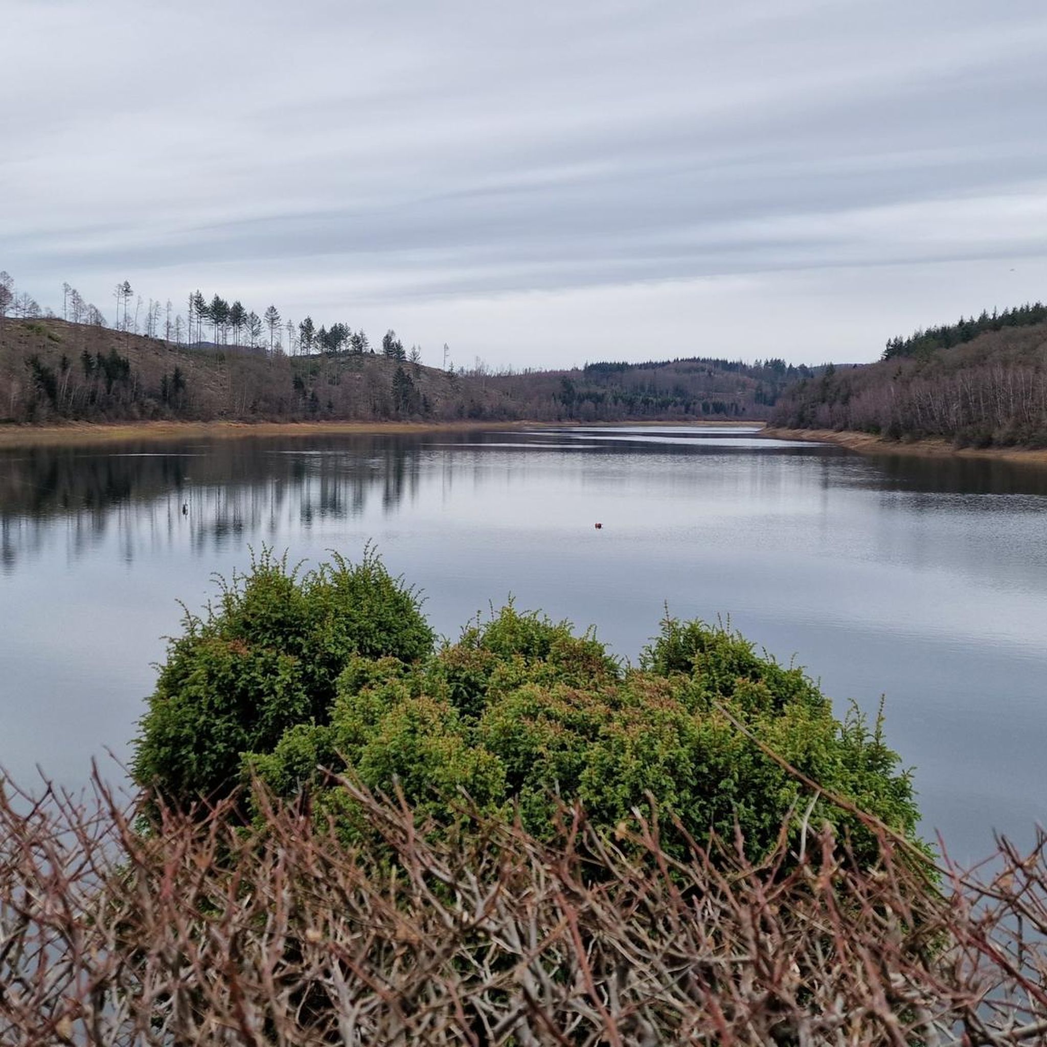
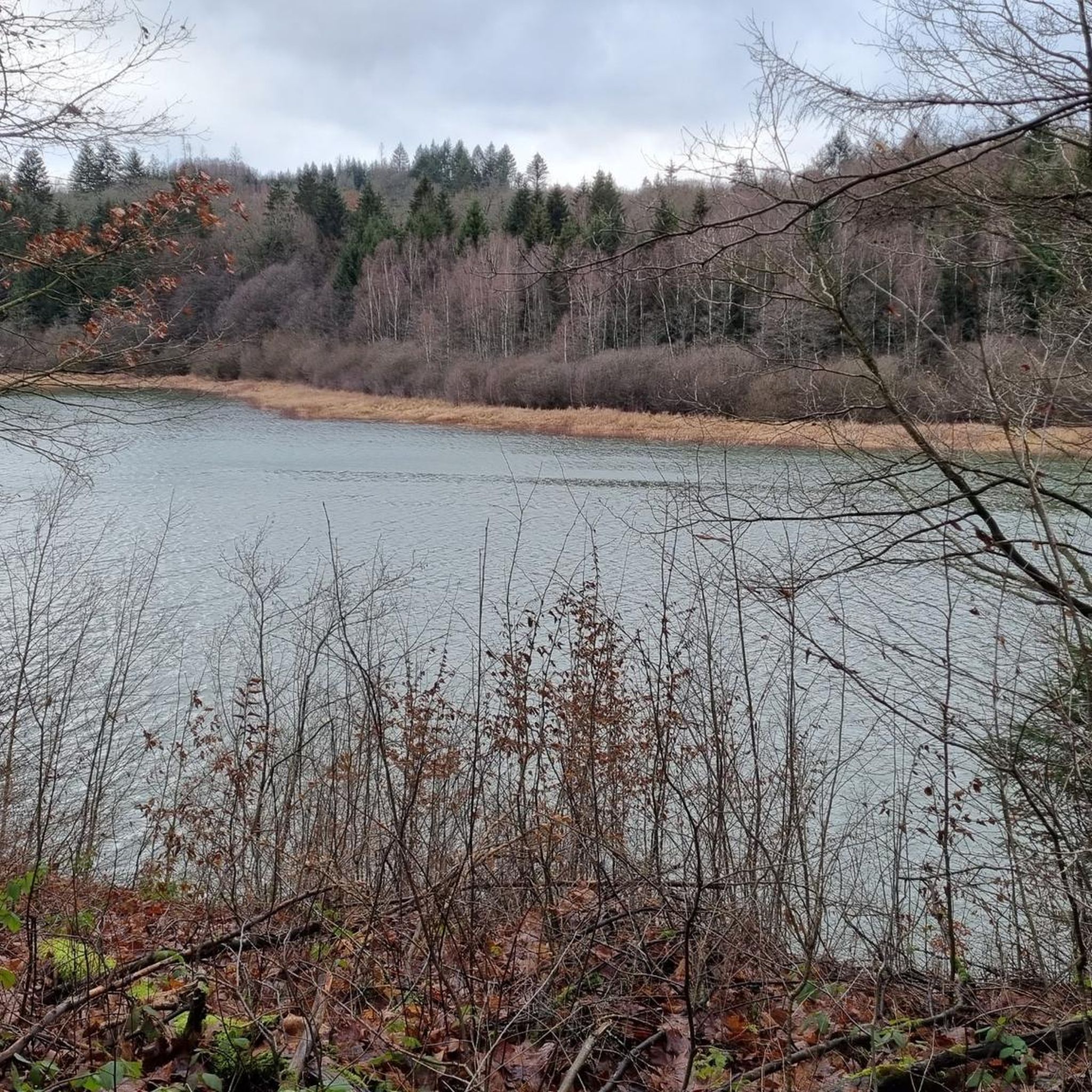
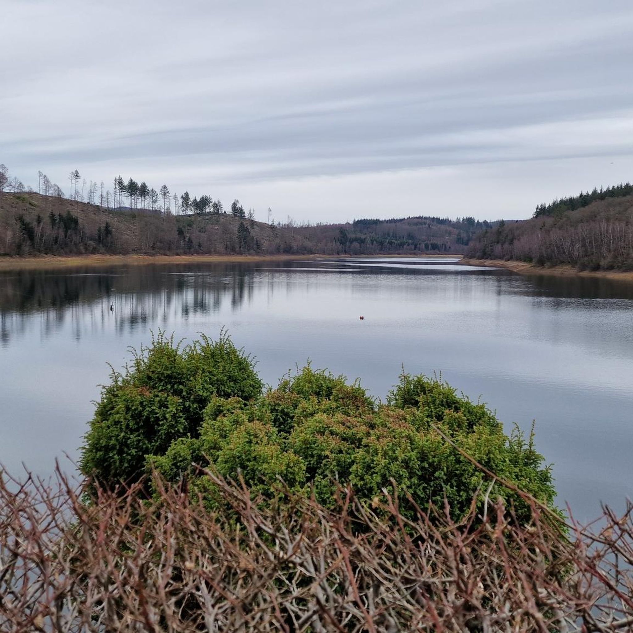
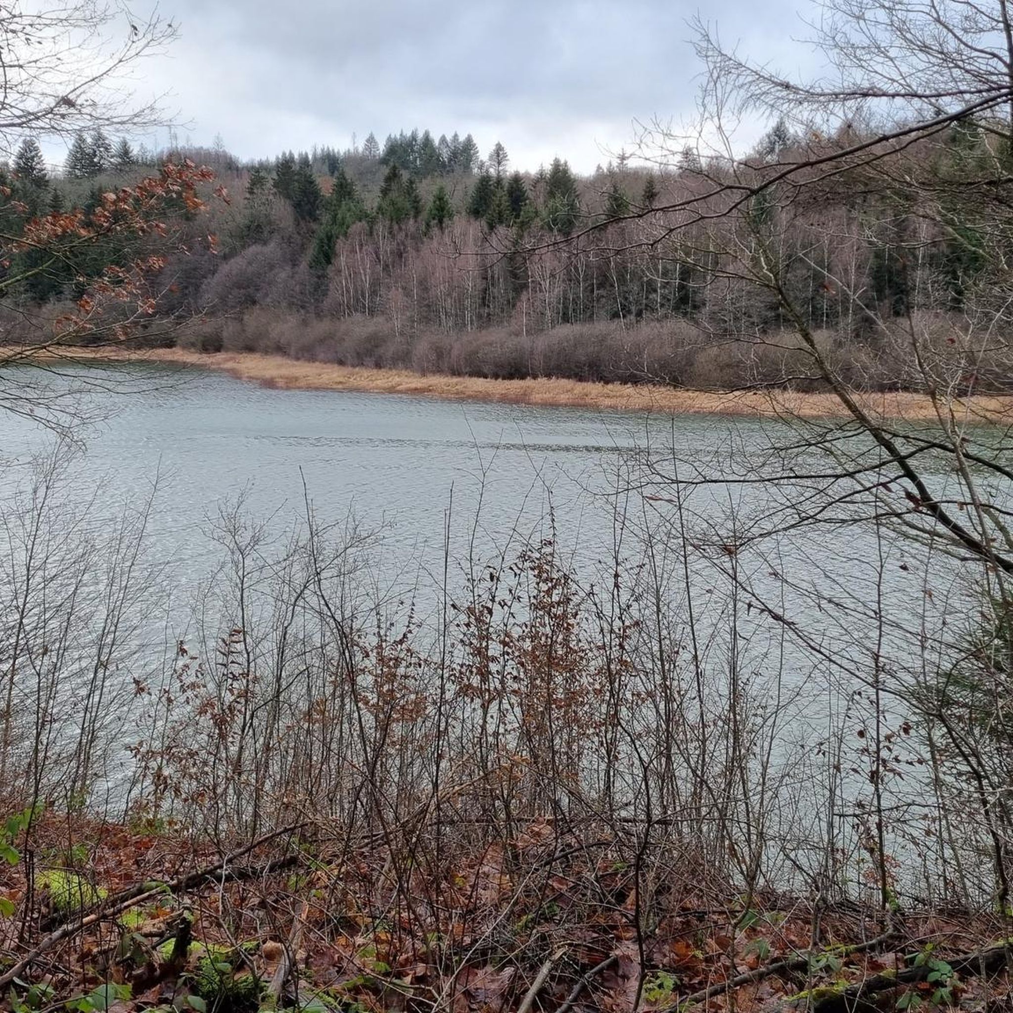
Along the routes, you can enjoy scenic views of the dam wall and the dense surrounding woodlands. The Breitenbach dam itself is a notable attraction. You might also encounter information boards detailing regional history and the drinking water supply along the circular path.
Is there parking available for cyclists at Breitenbachtalsperre?
Yes, the Breitenbachtalsperre is a popular excursion spot, and parking facilities are generally available for visitors, including cyclists. Specific parking areas are usually signposted near the reservoir.
Are there cafes or places to eat near the road cycling routes?
Yes, the area around Breitenbachtalsperre offers options for refreshments. For example, the Wes Wundertüte – Old Warden's House Restaurant & Café is a highlight near some routes, providing a place to stop and refuel.
What do other road cyclists enjoy most about the routes around Breitenbachtalsperre?
The area is highly rated by the komoot community, with an average score of 4.5 stars from over 280 reviews. Cyclists often praise the well-maintained paths, the picturesque undulating terrain, and the tranquil atmosphere of the extensive forests and the reservoir.
When is the best time of year for road cycling around Breitenbachtalsperre?
The region is beautiful year-round, but spring, summer, and early autumn generally offer the most pleasant conditions for road cycling. The dense woodlands provide shade in warmer months, and the changing foliage in autumn is particularly scenic.
Are there any specific rules for cycling in the Breitenbachtalsperre nature reserve?
The Breitenbachtalsperre area has been designated as a nature protection area since 1988. While cycling is permitted on designated paths, it's important to stay on marked routes, respect wildlife, and keep the area clean to preserve its natural beauty.
Are there any long-distance road cycling routes that pass through the Breitenbachtalsperre area?
While the immediate reservoir loop is shorter, the surrounding Siegerland region offers longer routes. For instance, the Breitenbach Reservoir – Oberndorfer Höhe Ascent loop from Hillnhütten is a moderate 41.9 km path, and the Breitenbach Reservoir – Bad Berleburg loop from Hillnhütten extends to 80 km, providing options for longer rides.
Can I find routes suitable for advanced road cyclists with significant climbs?
Yes, the region caters to advanced cyclists. Routes like the Breitenbach Reservoir – Oberndorfer Höhe Ascent loop from Hillnhütten include notable ascents. For a more challenging experience, the Breitenbach Reservoir – Bad Berleburg loop from Hillnhütten offers significant elevation gain over its 80 km distance.
Most popular routes around Breitenbachtalsperre
Most popular attractions around Breitenbachtalsperre

Get inspired with the komoot mobile app


Explore more
Browse the best Road cycling routes in other regions.
