The best running trails around Wambachsee
4.4
(1617)
34,734
runners
658
runs
Jogging around Wambachsee offers diverse running environments within the expansive Sechs-Seen-Platte recreational area in Duisburg. The region features accessible lakeside paths and extensive forest trails, providing a mix of flat routes and varied terrain. Wambachsee itself is characterized by picturesque water views and reedy banks, contributing to a serene natural backdrop for outdoor pursuits. The area's well-maintained paths are suitable for various running activities.
Best jogging routes around Wambachsee
- The most popular jogging route is Playground by the Lake –…
Last updated: August 15, 2026
4.7
(10)
325
runners
15.4km
01:37
40m
40m
Hard run. Very good fitness required. Mostly paved surfaces. Suitable for all skill levels.
4.1
(18)
159
runners
Moderate run. Good fitness required. Mostly paved surfaces. Suitable for all skill levels.

Sign up for free
5.0
(2)
119
runners
Easy run. Great for any fitness level. Mostly paved surfaces. Suitable for all skill levels.
5.0
(1)
59
runners
Moderate run. Good fitness required. Mostly paved surfaces. Suitable for all skill levels.
56
runners
Moderate run. Good fitness required. Mostly paved surfaces. Suitable for all skill levels.
Get access to more routes and recommendations from other explorers.
Sign up for free
Already have an account?
Our route recommendations are based on thousands of hikes, rides, and runs completed by other people on komoot.
Start today with a free account
Your next adventure awaits.
Login or Signup

Tips from the Community

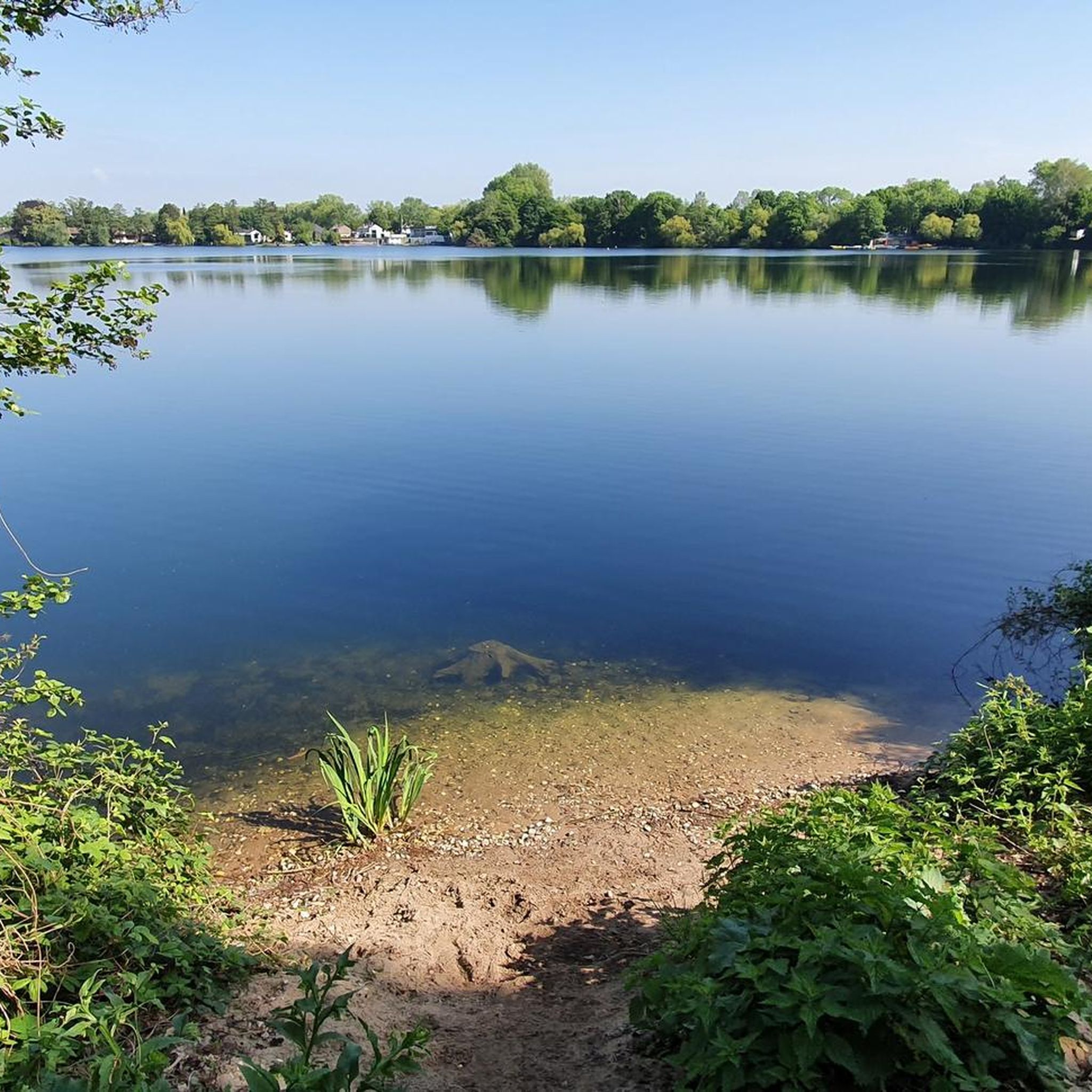
Worth seeing. Definitely worth it
0
0
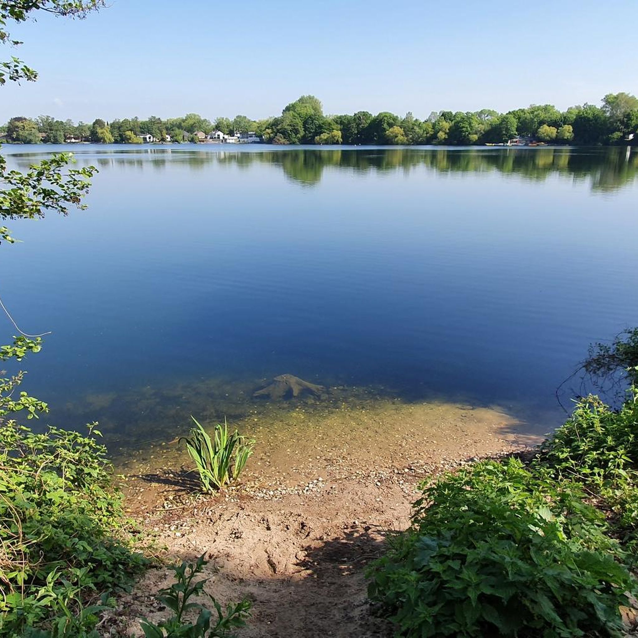
Worth seeing. Definitely worth it
1
0

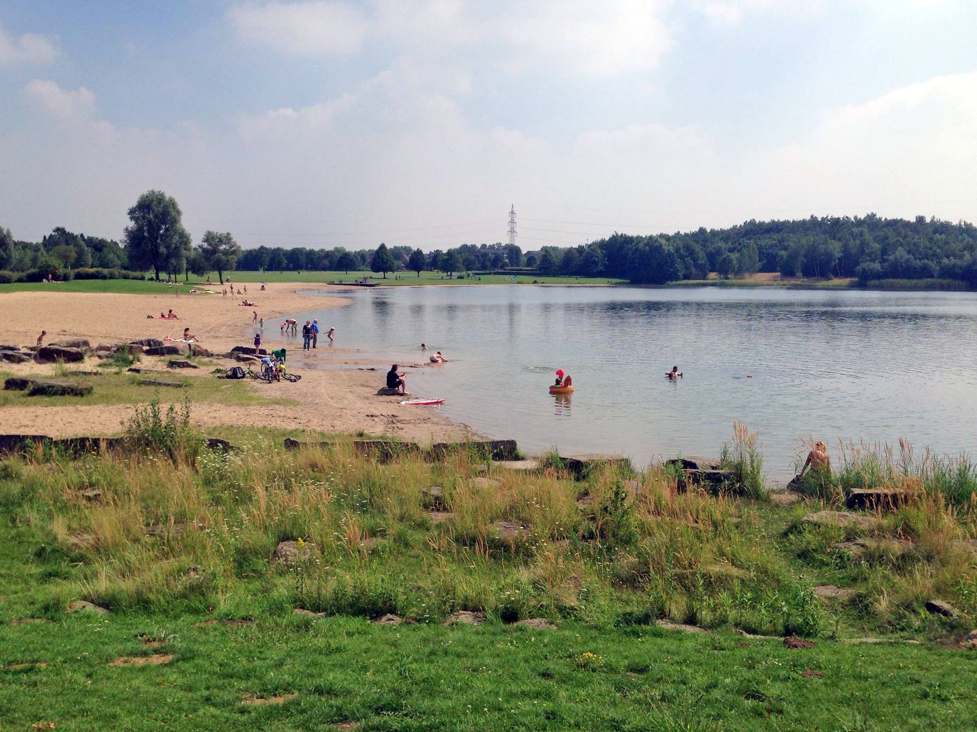
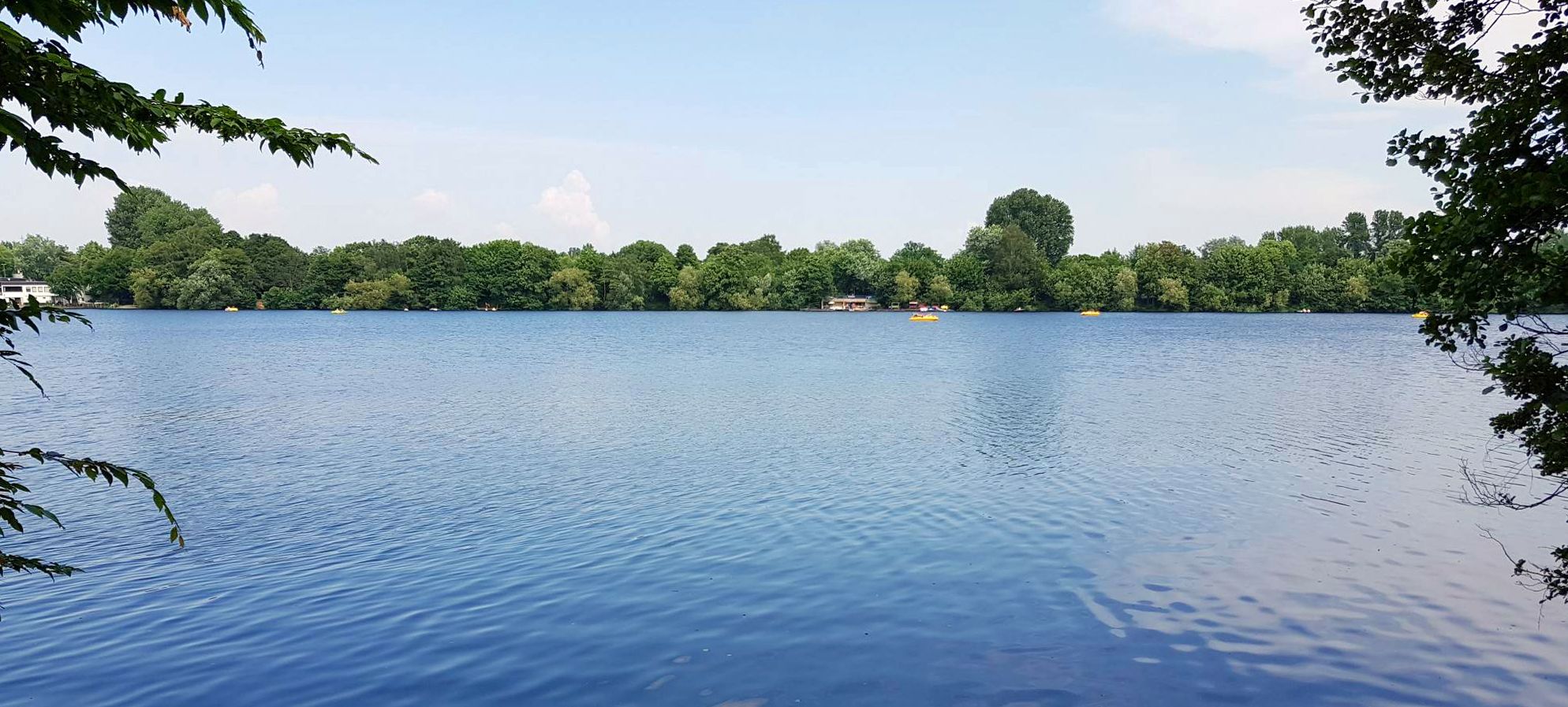
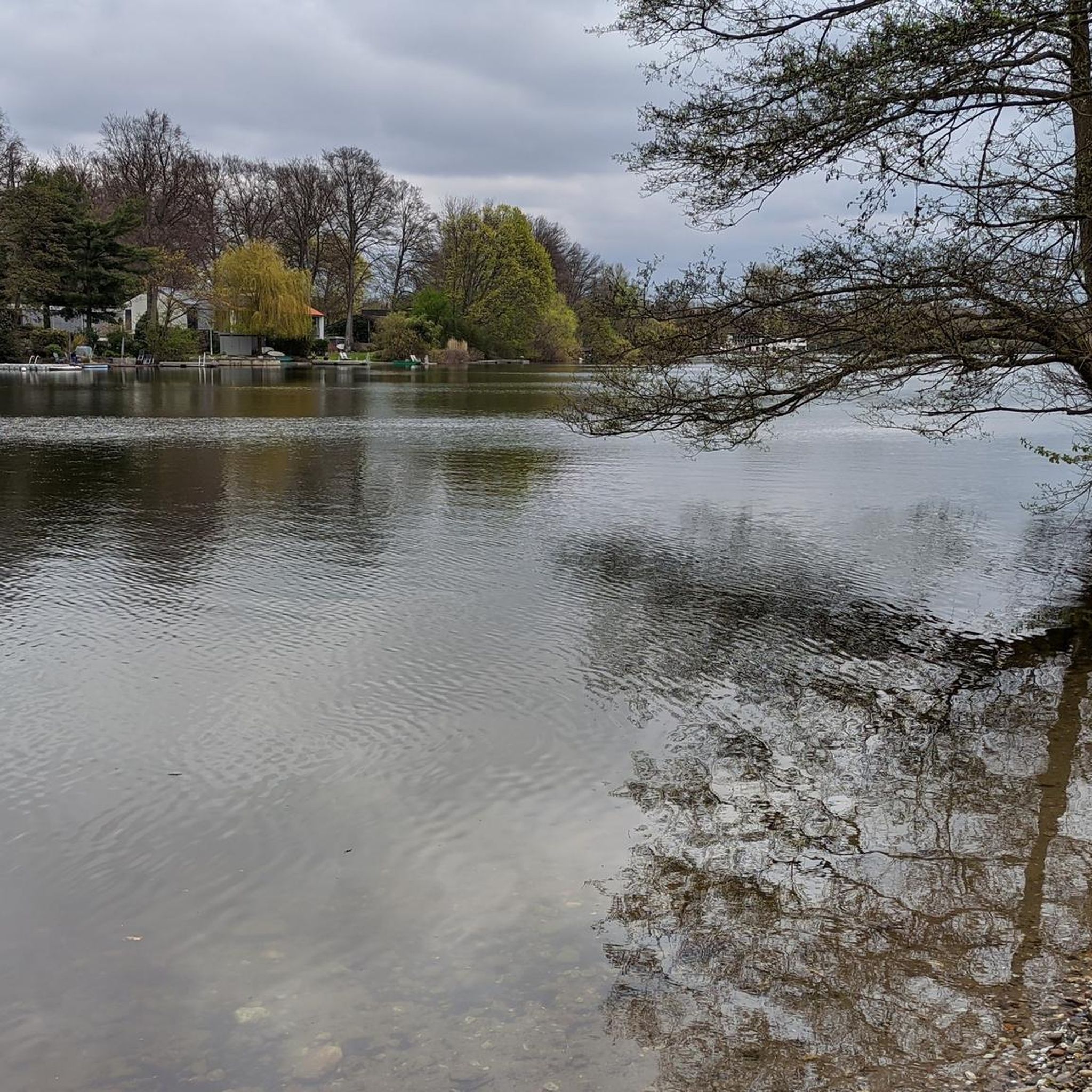
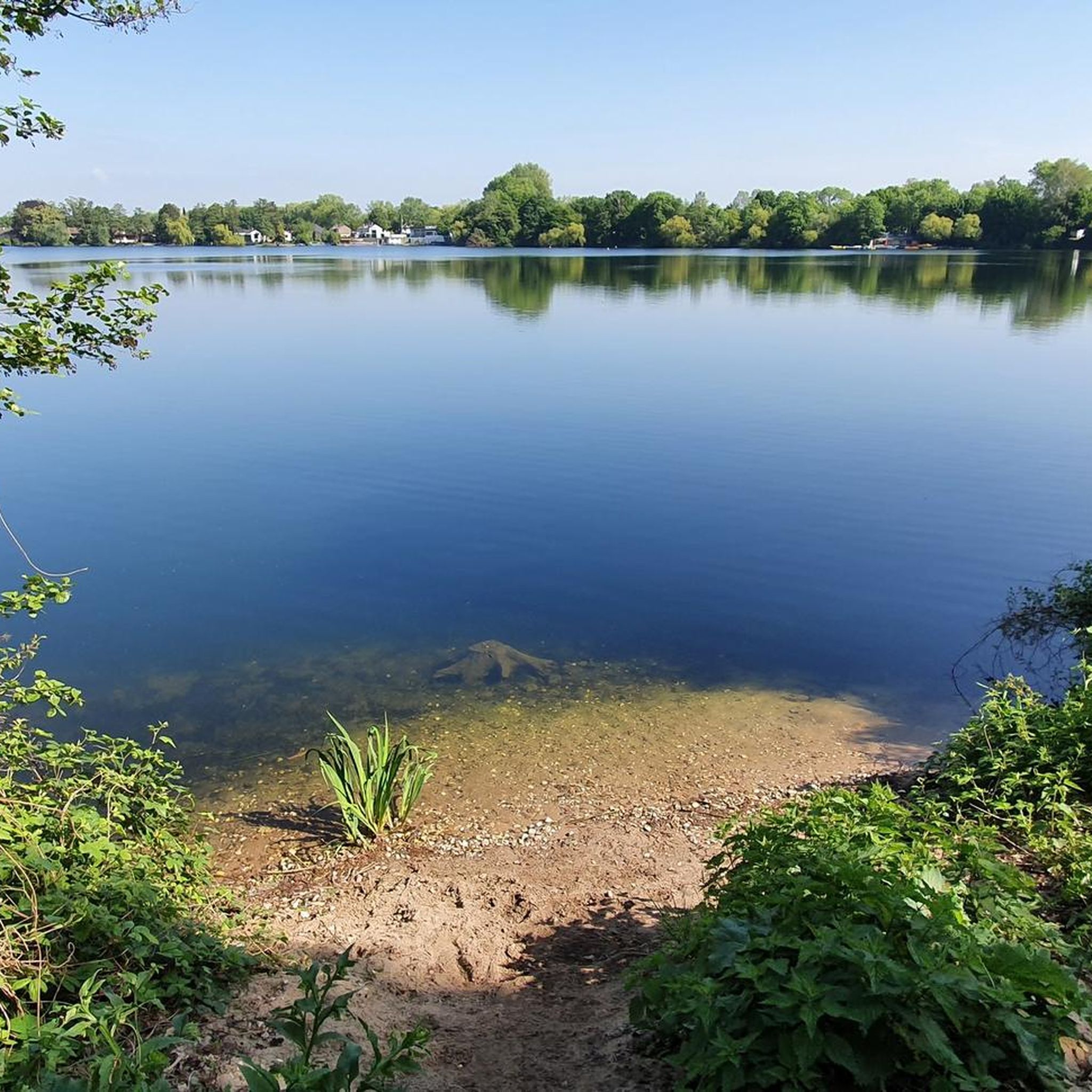
The Sechs-Seen-Platte (Six Lakes Plateau) in the south of Duisburg is one of the city's largest natural and recreational areas. The area covers around 283 hectares, about half of which consists of water surfaces. The landscape is composed of several artificially created lakes, extensive forest sections, and open green areas, serving as a popular excursion destination for many people from the surrounding area. Geographically, the area lies between the districts of Wedau, Buchholz, and Großenbaum. The name comes from six lakes spread across the area: Wolfssee, Masurensee, Böllertsee, Wildförstersee, Wambachsee, and Haubachsee. The surroundings offer a mix of bathing areas, paths for walks and bike tours, as well as quieter, natural sections. Some of the lakes are interconnected: Masurensee and Wolfssee are in direct exchange, and Wolfssee borders Wildförstersee. There is also an underground connection between Masurensee and Wambachsee. On the western edge of Wambachsee, there is a weir, which, at higher water levels, diverts excess water into the old course of the Wambach and finally into the Dickelsbach. The Böllertsee is connected to the Wolfssee via a pipe on the south bank and has a controllable outlet into the Dickelsbach on the west bank. The Haubachsee is fed by the Haubach and discharges its water westward into the Wildförstersee. To do this, the forest path "Im Wolfsgrund" is crossed underneath before the water continues to flow openly. Three smaller bodies of water also flow through parts of the area: the approximately 9 km long Wambach, the approximately 22 km long Dickelsbach, which later flows into the Rhine, and the Haubach.
1
0
The historical border stone „An den vier Steinen“, also known as „Vierstein“, dates from 1791. It marks the border of the former areas of Huckingen, Lintorf, Saarn, and Grindsmark in the forest. The location is the Grindsmark forest, south of Duisburg-Wedau, at the intersection of Saarner Straße and Langelker Weg. The geographical coordinates are North 51° 22′ 15.69″ and East 6° 48′ 31.74″. The stone was preserved through the commitment of the Wedau local historian Friedhelm Stöters. In cooperation with the forestry department of the Green Spaces Office, the site was designed in 1991 by the citizens' association Duisburg-Großenbaum-Rahm together with volunteers, so that its historical significance remains visible. On the four sides of the stone, the initial letters of the adjacent areas are engraved: - G for Grindsmark - H for Huckingen - L for Lintorf - S for Saarn The border stone exists because it marks historical administrative boundaries, not because Lintorf was part of Duisburg. Such stones were erected in the 18th and 19th centuries to precisely mark the boundaries of municipalities, farms, or fields, often for tax, ownership, or usage rights. The „Vierstein” shows the intersection points of Huckingen, Lintorf, Saarn, and Grindsmark. Lintorf itself belonged to Ratingen, while the other areas belonged to Duisburg or its surroundings. The stone was therefore a common reference point for determining where each territory ended – for example, for forest, arable, or pasture areas.
0
0


It's a good and pleasant place to walk.
1
0
It's a good and pleasant place to walk.
1
0
It's a good and pleasant place to walk.
2
0
Frequently Asked Questions
How many running routes are available around Wambachsee?
There are over 600 running routes available in the Wambachsee area, catering to various fitness levels. You'll find a wide selection, including 72 easy routes, 484 moderate routes, and 78 more challenging trails.
What do other runners enjoy most about jogging in Wambachsee?
The running trails around Wambachsee are highly rated by the komoot community, with an average score of 4.4 stars from over 1300 reviews. Runners frequently praise the diverse terrain, which includes accessible lakeside paths and extensive forest trails, as well as the picturesque waterfront scenery.
Are there any family-friendly jogging routes near Wambachsee?
Yes, the Wambachsee area is suitable for families. Many routes feature well-maintained paths, and the larger Sechs-Seen-Platte recreational area includes amenities like the Wambachsee Forest Playground, making it a great destination for families with children. Look for routes marked as 'easy' for a more relaxed experience.
Are there circular running routes around Wambachsee?
Yes, many of the running routes around Wambachsee are circular, allowing you to start and end at the same point. For example, the View of the Lake near Duisburg – Wambachsee Viewing Platform loop from Wedau offers a scenic 8.4 km loop with beautiful lake views.
Where can I find parking for the jogging trails at Wambachsee?
Wambachsee and the wider Sechs-Seen-Platte area are well-equipped with parking facilities, making it easy to access the running trails if you arrive by car. Specific parking areas are usually indicated near popular access points to the recreational area.
How can I reach Wambachsee using public transport for a run?
The Wambachsee and Sechs-Seen-Platte recreational area are well-connected to public transport networks. You can easily reach the area by bus or tram, with stops conveniently located near various entry points to the trails.
Are there any jogging routes around Wambachsee that are approximately 10k in length?
Yes, there are several routes around Wambachsee that are close to or exceed 10 km. For instance, the Six Lakes Plateau Duisburg loop from Wedau is a moderate 11.4 km trail, offering a good option for a longer run.
What kind of scenery can I expect on the running trails around Wambachsee?
The running trails around Wambachsee offer a beautiful mix of landscapes. You'll experience picturesque waterfront scenery with views of the lake, reedy banks that are home to various water birds, and extensive forest trails within the larger Sechs-Seen-Platte area. This provides a diverse and serene natural backdrop for your run.
Are there any places to see or attractions along the jogging routes?
Yes, the area offers several points of interest. Along your run, you might pass by the Southern shore of the Wambach lake, Wolfssee Beach, or the Boat Rental at Wambachsee. These spots provide pleasant views and opportunities for a brief stop.
Can I jog around Wambachsee during the winter months?
While the area is generally accessible year-round, winter conditions can vary. Paths might be icy or covered in snow, especially after heavy snowfall. It's advisable to check local weather forecasts and trail conditions before heading out for a winter run and to wear appropriate footwear and clothing.
Are there any cafes or refreshment options near the running paths?
Yes, the Wambachsee area, being a popular recreational spot, has options for refreshments. You can find cafes and restaurants in the vicinity, particularly near the main access points and other attractions within the Sechs-Seen-Platte, where you can grab a drink or a bite after your run.
What is a good route for a beginner runner at Wambachsee?
For beginners, an easy and relatively short option is the Duisburg Regatta Course – Duisburg Regatta Course loop from Schauinsland-Reisen-Arena. This trail is 4.5 km long and generally takes about 28 minutes to complete, offering a flat and accessible path.
Most popular routes around Wambachsee
Most popular attractions around Wambachsee

Get inspired with the komoot mobile app


Explore more
Browse the best Running Trails & Routes in other regions.
