The best road cycling routes around Wiesensee
4.6
(68)
873
riders
168
rides
Road cycling routes around Wiesensee are situated in the Westerwaldkreis, Rhineland-Palatinate, Germany, offering diverse terrain for cyclists. The region features primarily paved surfaces with elevation gains, making it suitable for various fitness levels. While the Wiesensee itself has been drained, the surrounding area still provides paths and views, with bridges crossing streams that feed into the former lake basin. The natural landscape of the Westerwald region is characterized by its unspoiled character.
Best road cycling routes around Wiesensee
- The most…
Last updated: October 8, 2026
4.3
(4)
51
riders
18.2km
00:59
160m
160m
Moderate road ride. Great for any fitness level. Some segments of this route may be unpaved and difficult to ride.
4.6
(5)
34
riders
30.9km
01:29
410m
410m
Moderate road ride. Good fitness required. Mostly well-paved surfaces and easy to ride.

12
riders
55.0km
02:36
670m
670m
Moderate road ride. Good fitness required. Mostly well-paved surfaces and easy to ride.
28
riders
60.2km
02:46
630m
630m
Moderate road ride. Good fitness required. Mostly well-paved surfaces and easy to ride.
23
riders
Moderate road ride. Good fitness required. Some segments of this route may be unpaved and difficult to ride.
Get access to more routes and recommendations from other explorers.
Already have an account?
Our route recommendations are based on thousands of hikes, rides, and runs completed by other people on komoot.
Start today with a free account
Your next adventure awaits.
Popular around Wiesensee
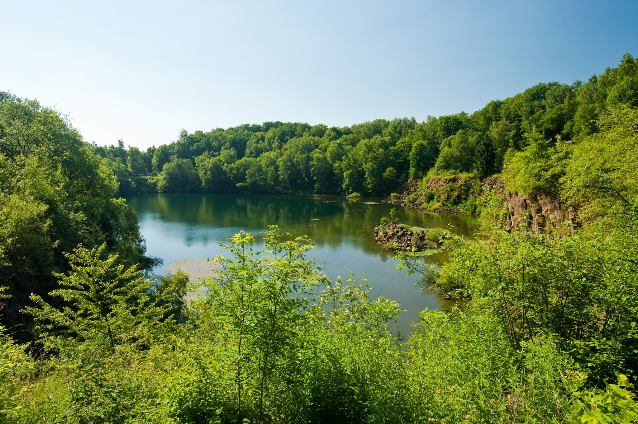
19 short hikes in the Westerwald
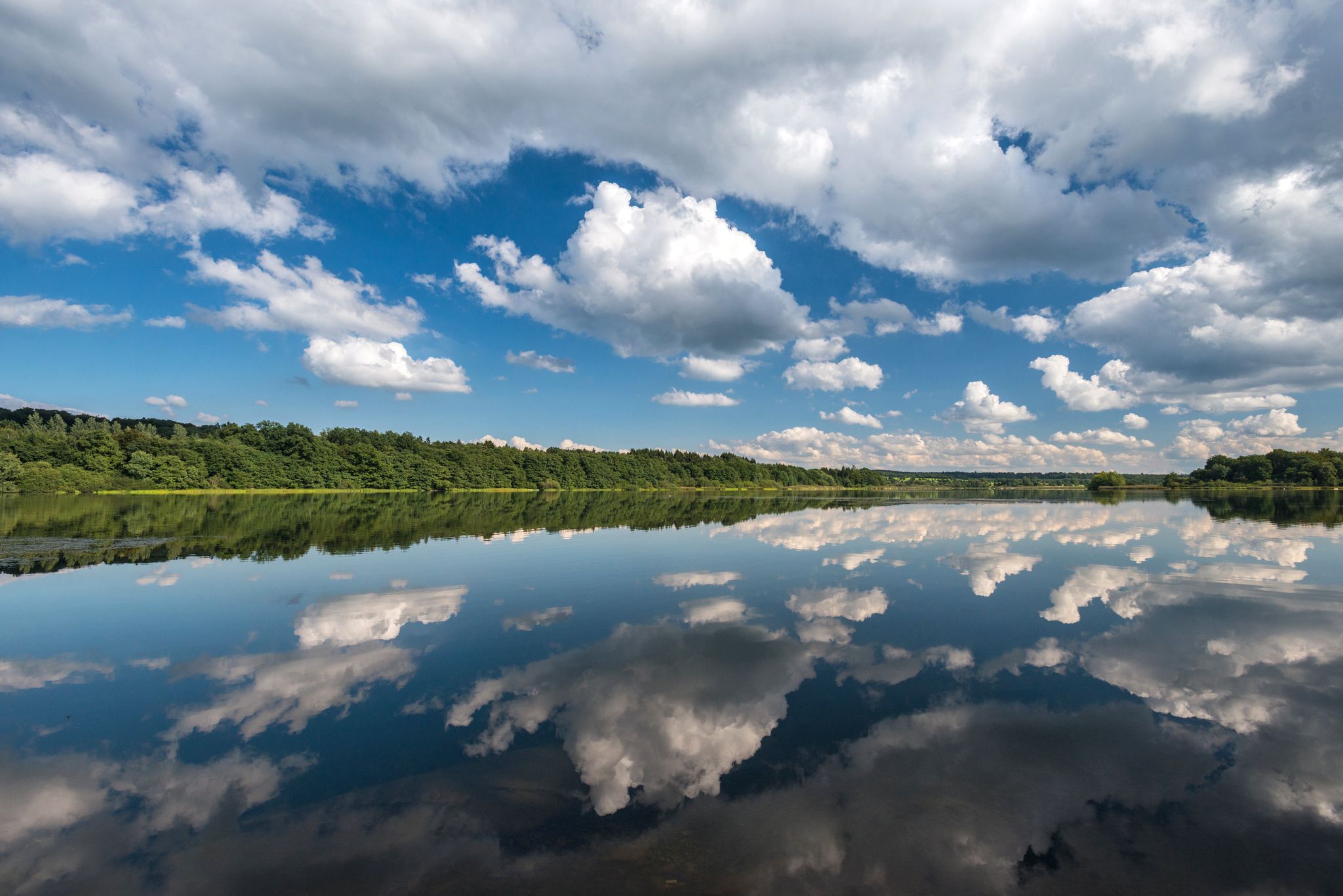
Waterways in Germany’s Westerwald — hiking along rivers and lakes
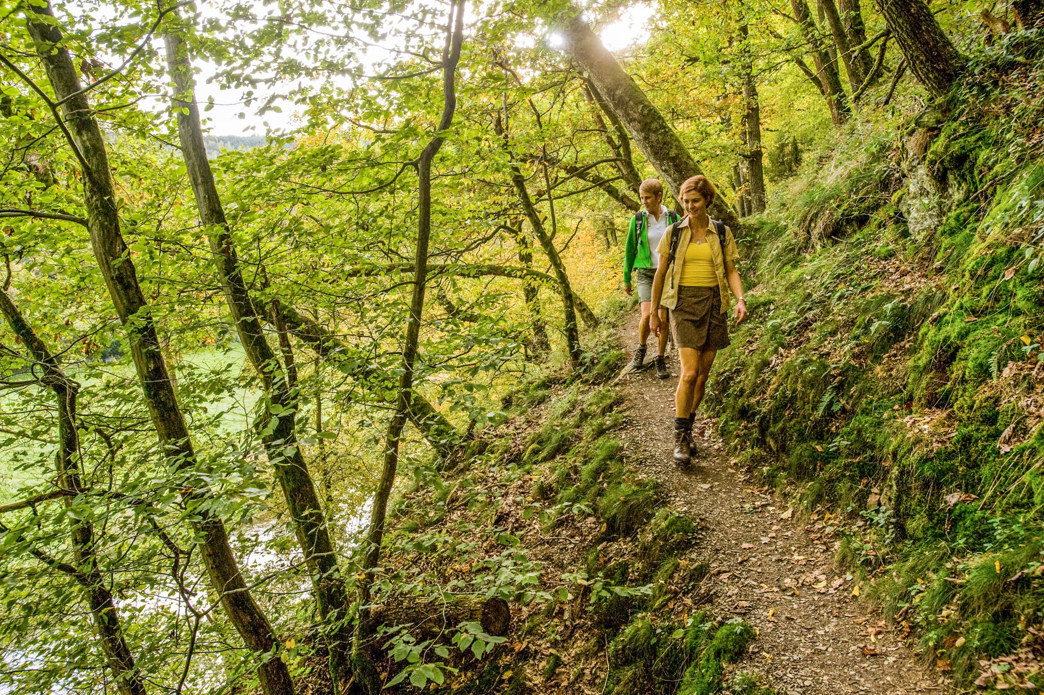
Wonderful unspoilt nature – 12 day hikes in the Westerwald mountains
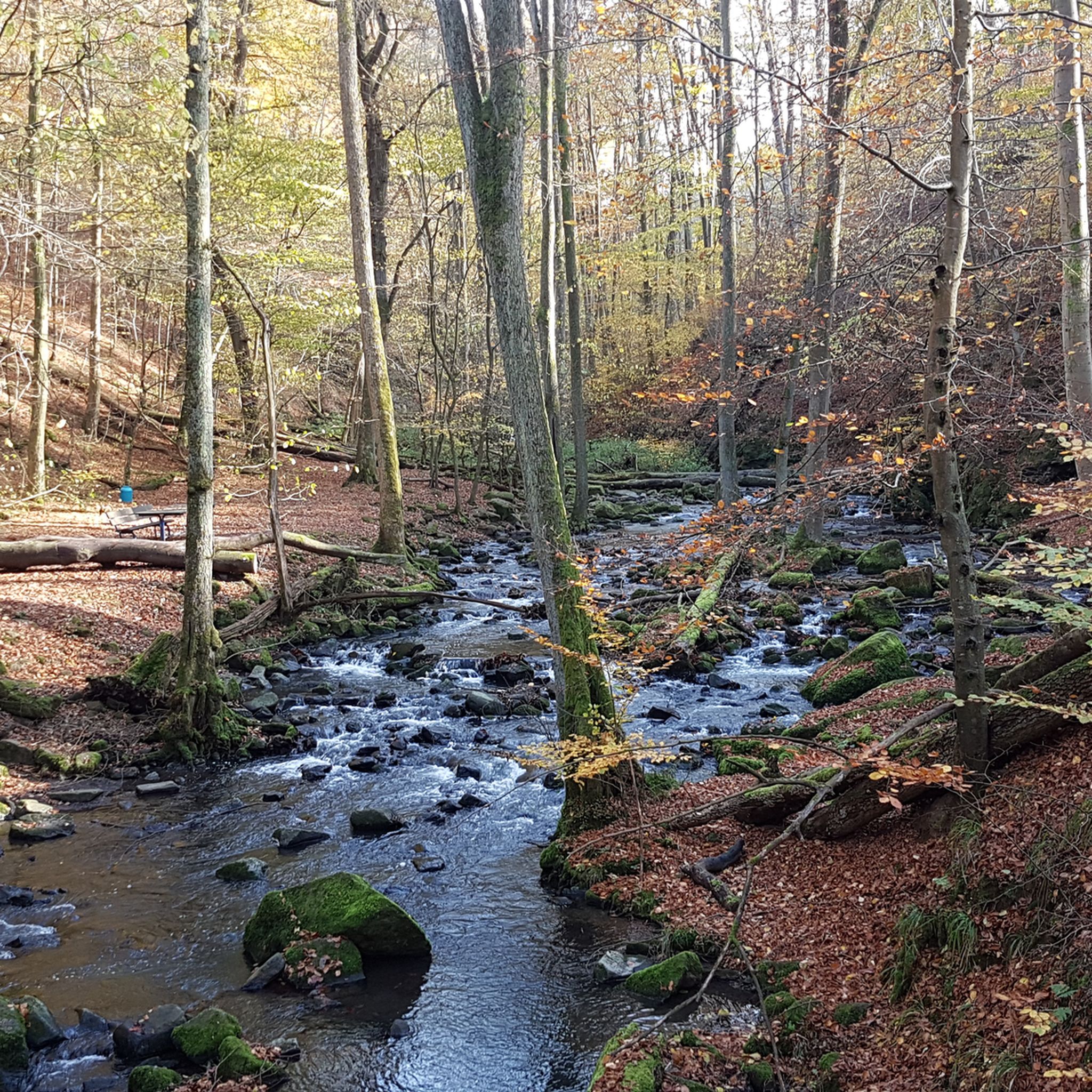
Hiking around Wiesensee
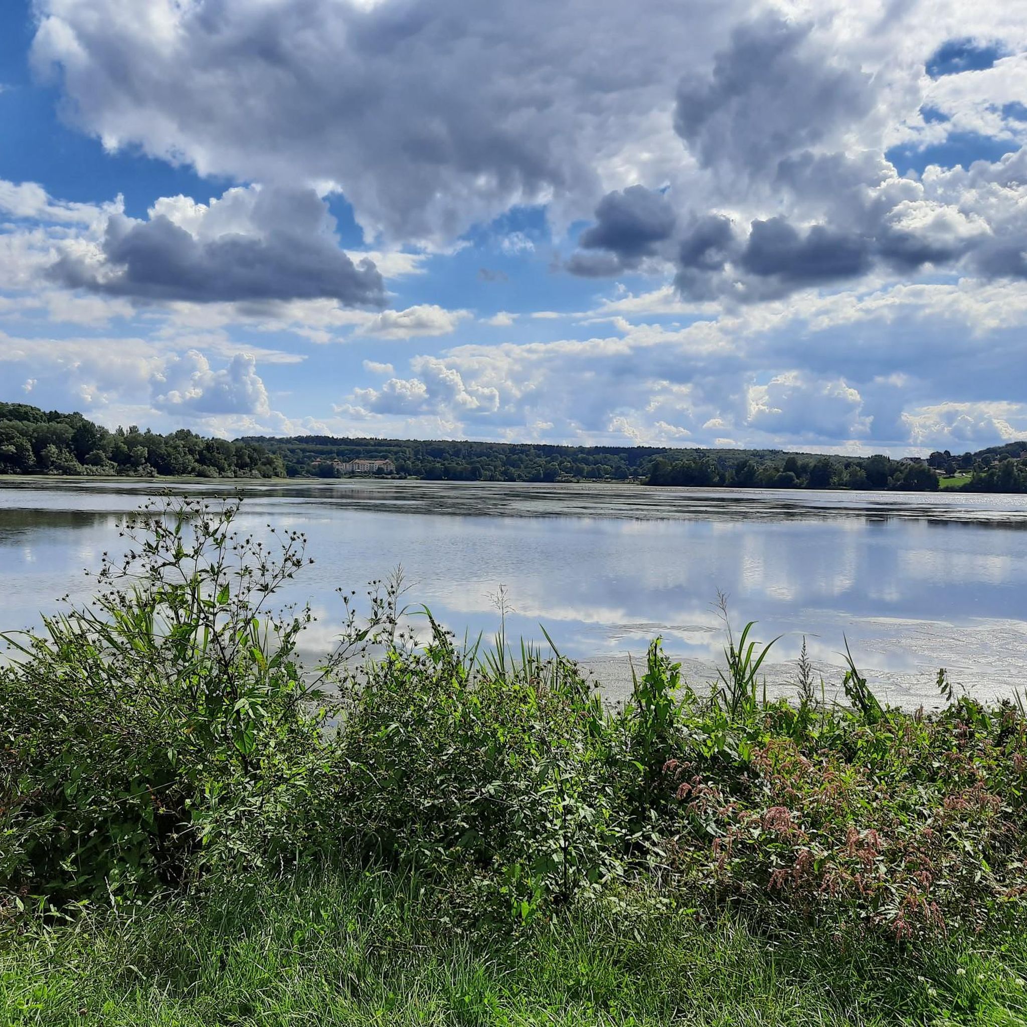
Cycling around Wiesensee
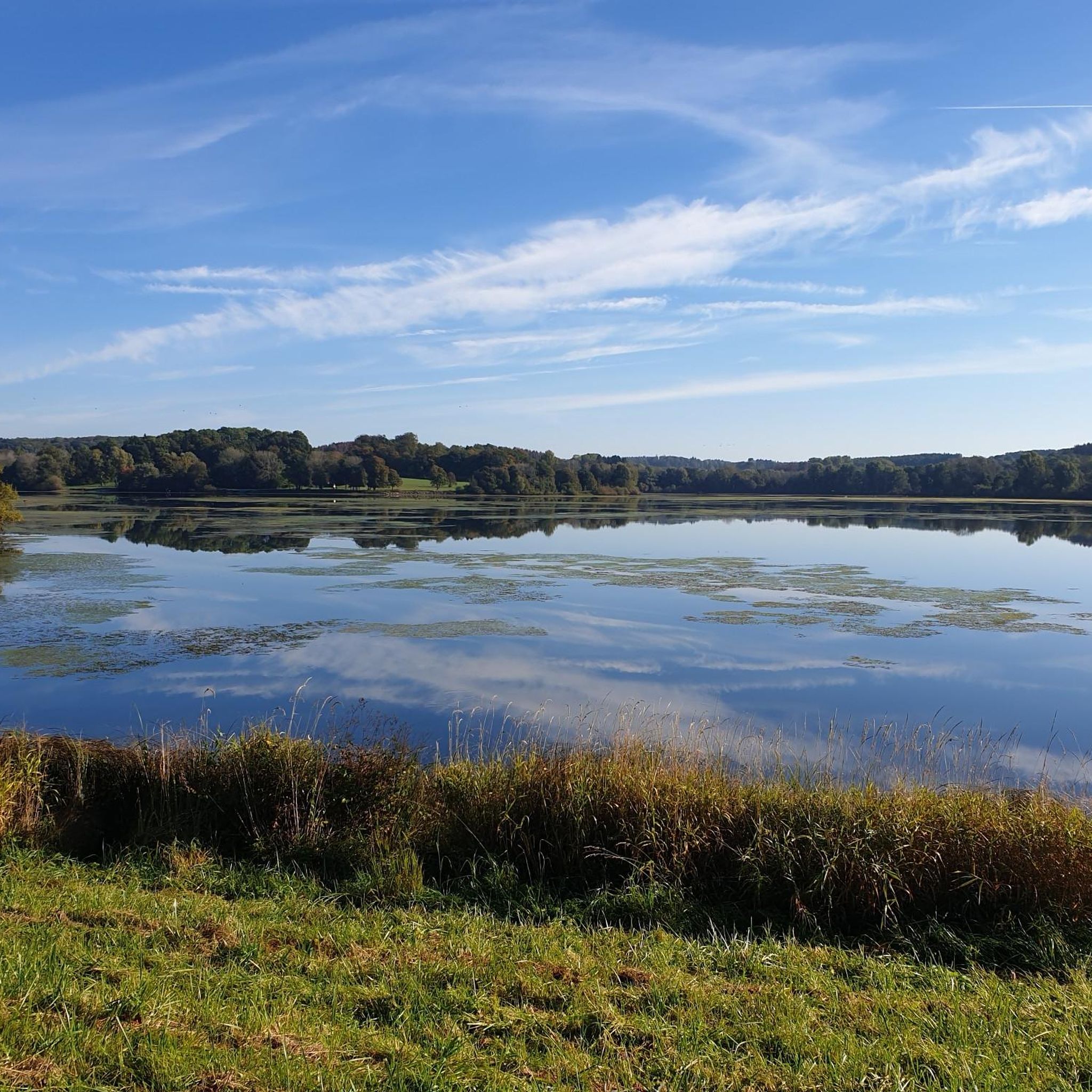
MTB Trails around Wiesensee
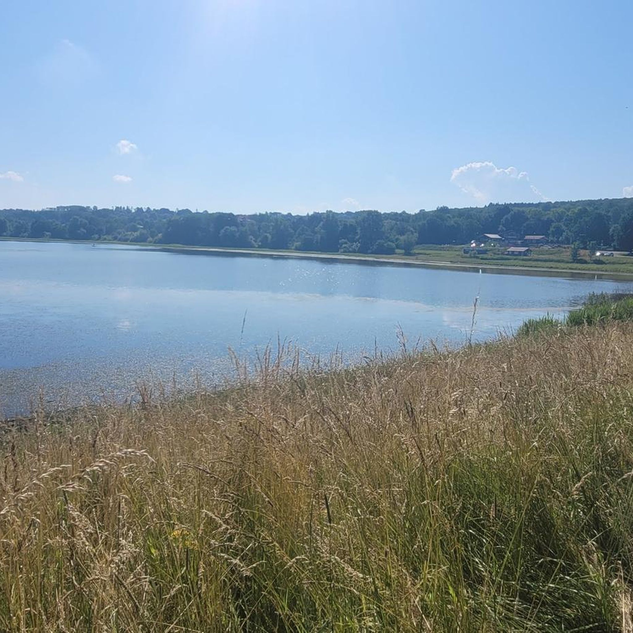
Running Trails around Wiesensee
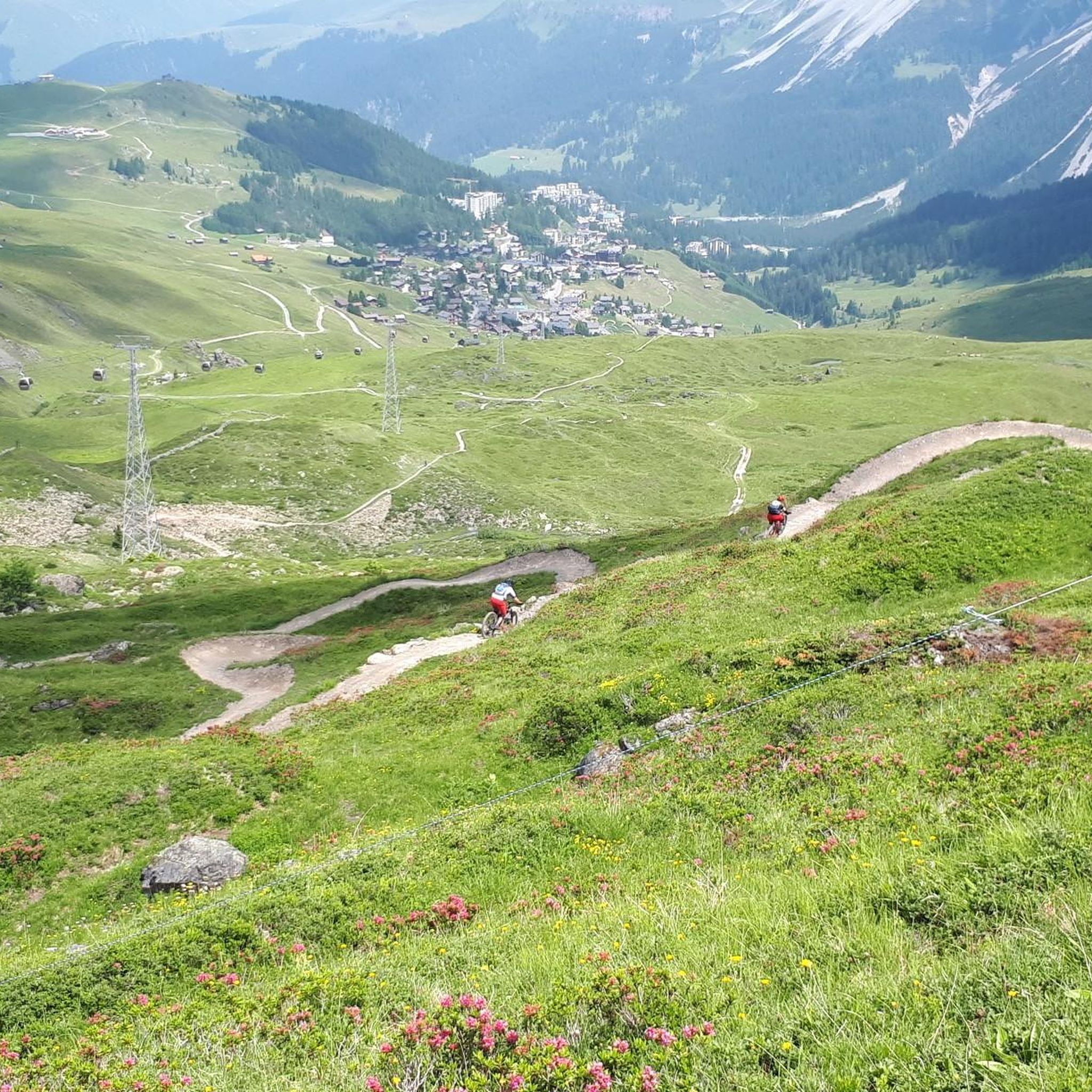
Gravel biking around Wiesensee
Other adventures around Wiesensee

Tips from the Community

Truly an eye-catcher, the courtyard
0
0

A very beautiful cycle path
0
0

Great view and a hint of the upcoming "descent".
0
0


House on the lake at Dreifelder Weiher
1
0


Beautiful Dreifelder Weiher, beautifully situated, idyllic and quiet.
0
0

Currently (May 12, 2025), the road between Härtlingen and Mähren is impassable due to fallen trees. A detour has been set up from Härtlingen, but signs are easy to miss.
0
0
Frequently Asked Questions
What kind of terrain can I expect on road cycling routes around Wiesensee?
The road cycling routes around Wiesensee primarily feature paved surfaces. You'll encounter a mix of rolling hills and varied elevation, characteristic of the Westerwald region's unspoiled natural landscape.
How challenging are the road cycling routes in the Wiesensee area?
The routes cater to various fitness levels, offering options from easy to challenging. Out of over 180 available routes, 131 are considered moderate, 44 are difficult, and 5 are easy. For example, the Wiesensee loop from Stahlhofen is a moderate route with varied elevation.
What natural features or attractions can I see while road cycling around Wiesensee?
While the Wiesensee itself has been drained, the area still offers beautiful paths and views. You can see bridges crossing streams that feed into the former lake basin. Notable highlights include the Bridge over the Hüttenbach stream and various picnic spots with views of the Wiesensee. The surrounding Westerwald region is known for its unspoiled natural character.
Are there any circular road cycling routes around Wiesensee?
Yes, there are several circular routes. A popular option is the Wiesensee loop from Stahlhofen, which is a 19.6-mile (31.6 km) moderate trail offering a circular path with varied elevation. Another option is the Dreifelder Weiher – Dreifelder Pond loop from Hellenhahn-Schellenberg.
When is the best time of year for road cycling around Wiesensee?
The region is generally suitable for cycling from spring through autumn. The natural landscape of the Westerwald is beautiful in these seasons. While the lake can freeze in winter, making it walkable, road cycling is best enjoyed during warmer, drier months.
What do other road cyclists enjoy most about road cycling in Wiesensee?
The area is highly rated by the komoot community, with an average score of 4.6 stars from over 50 reviews. Cyclists often praise the diverse terrain, the well-maintained paved surfaces, and the unspoiled natural beauty of the Westerwald region.
Are there any easy road cycling routes suitable for beginners around Wiesensee?
Yes, there are easy routes available. While many routes are moderate, you can find options suitable for beginners. The region offers a network of routes catering to different ability levels, including easier paths with less elevation gain.
Can I find places to eat or drink along the road cycling routes?
Yes, there are facilities available. For instance, the Kiosk on Wiesenweg at Wiesensee offers refreshments. Some routes, like the Herdering Barn Café – Nepomuk Bridge, Hadamar loop from Westerburg, even pass by specific cafes.
What is the typical duration for road cycling routes in this area?
Route durations vary depending on length and difficulty. For example, the Playground in Sainscheid – Rest Area Backesdorf Mähren loop from Westerburg is a moderate 11.4-mile (18.4 km) path, which typically takes around 1 hour to complete. Longer routes can take up to five hours.
Are there any routes that offer views of the Wiesensee itself?
Many routes, particularly those that loop around the former lake basin, offer views of the Wiesensee area. Even though the lake has been drained, the paths provide scenic perspectives of the landscape that once held the water, including the Wiesensee lakeshore.
What is the maximum elevation gain I might encounter on a road cycling route near Wiesensee?
While many routes feature rolling hills, some longer tours can incorporate significant elevation gains. You can find routes with elevation gains up to 1500 feet (approximately 450 meters) in the broader Westerwald region, though specific routes around Wiesensee like the Herdering Barn Café – Nepomuk Bridge, Hadamar loop from Westerburg have around 625 meters of elevation gain.
Most popular routes around Wiesensee
Most popular attractions around Wiesensee

Get inspired with the komoot mobile app


Explore more
Browse the best Road cycling routes in other regions.
