The best walks and hikes around Wallendorfer Lake
4.5
(3335)
12,868
hikers
640
hikes
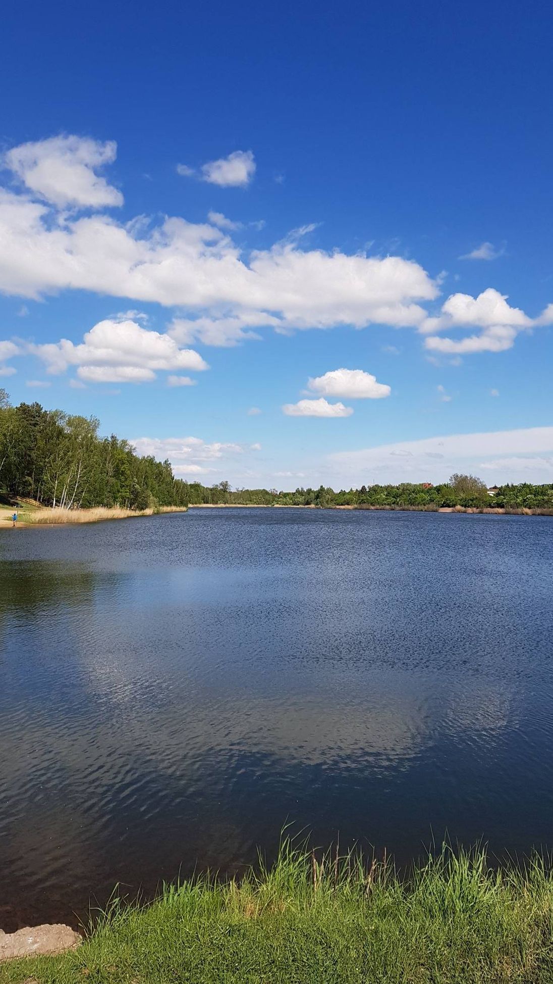
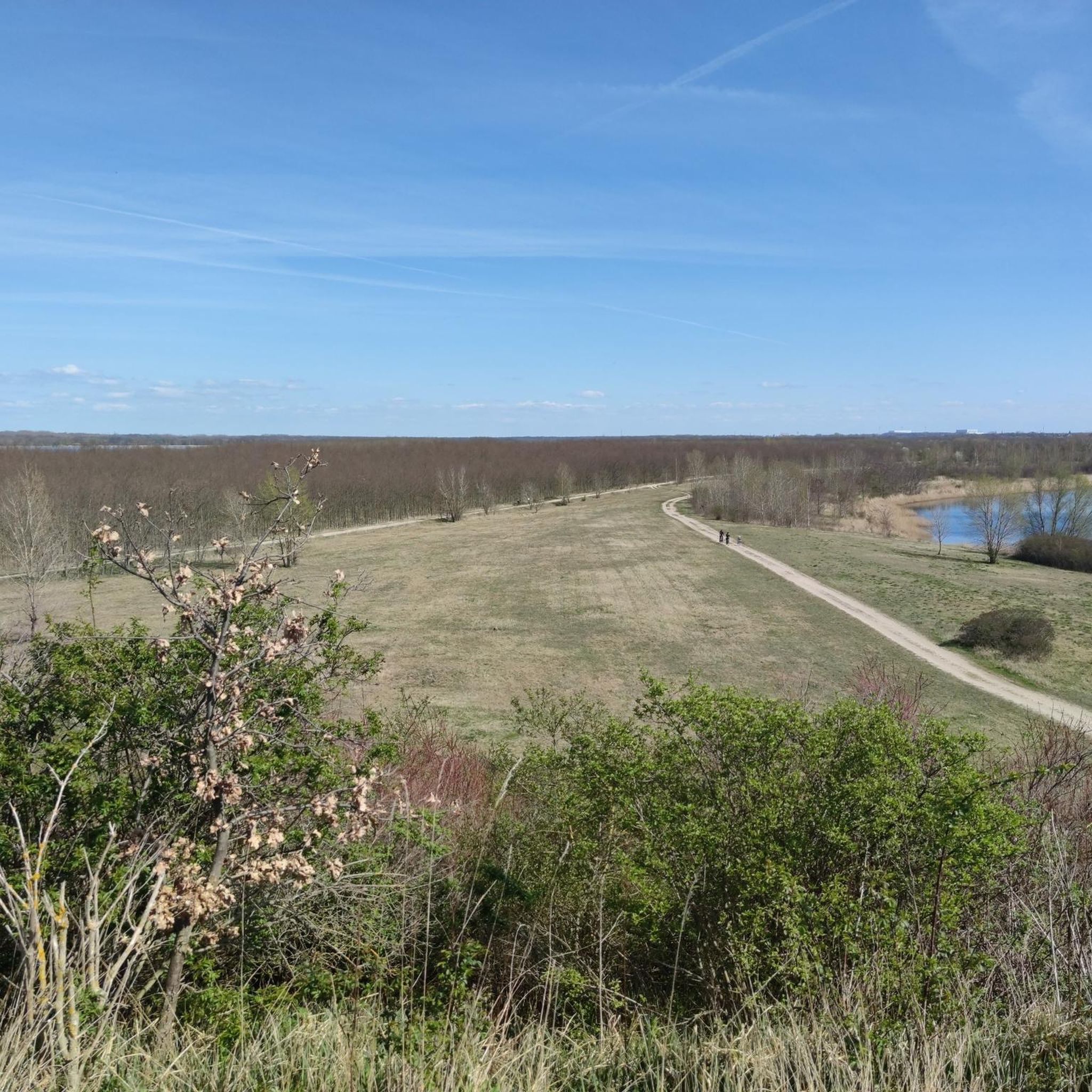
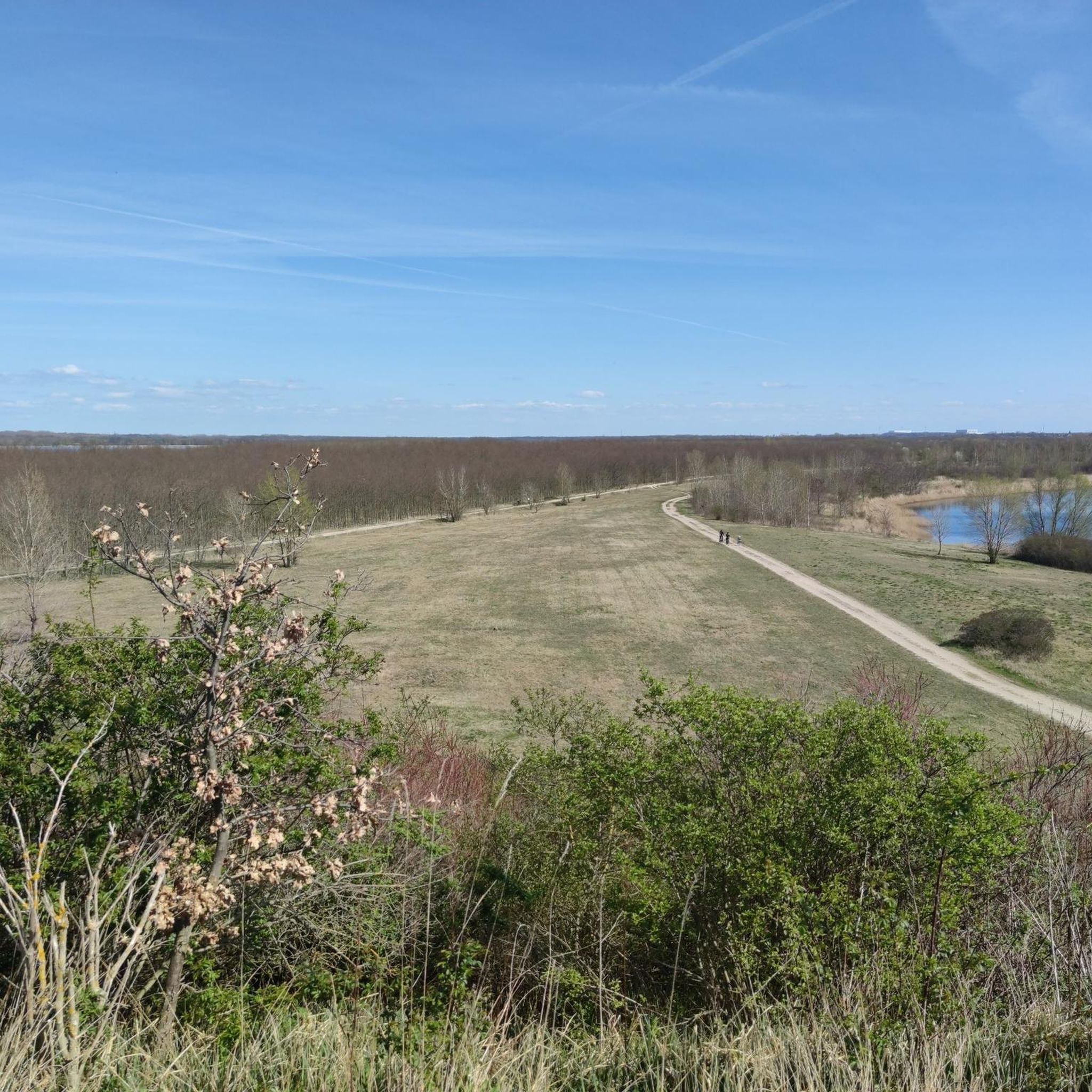
Hiking around Wallendorfer Lake offers routes through a landscape shaped by its post-mining regeneration, featuring an artificial lake and surrounding natural areas. The terrain is characterized by extensive floodplain forests along the White Elster and Luppe rivers, providing lush environments. The area includes former mining landscapes transformed into recreational spaces, with minimal inclines making paths generally easy to navigate. Bird sanctuaries and calm waters contribute to the natural features of the region.
Best hiking trails around Wallendorfer Lake
- The most…
Last updated: June 26, 2026
4.9
(22)
90
hikers
6.61km
01:41
10m
10m
Easy hike. Great for any fitness level. Easily-accessible paths. Suitable for all skill levels.
4.8
(11)
48
hikers
Easy hike. Great for any fitness level. Easily-accessible paths. Suitable for all skill levels.

Sign up for free
3.3
(7)
44
hikers
Easy hike. Great for any fitness level. Easily-accessible paths. Suitable for all skill levels.
4.9
(7)
45
hikers
Easy hike. Great for any fitness level. Easily-accessible paths. Suitable for all skill levels.
4.7
(13)
61
hikers
Moderate hike. Good fitness required. Easily-accessible paths. Suitable for all skill levels.
Get access to more routes and recommendations from other explorers.
Sign up for free
Already have an account?
Our route recommendations are based on thousands of hikes, rides, and runs completed by other people on komoot.
Start today with a free account
Your next adventure awaits.
Login or Signup
Popular around Wallendorfer Lake
Other adventures around Wallendorfer Lake

Tips from the Community

After a rain, it is not advisable to wear sports shoes
0
0


No highlights, just the information that the area on the southern shore of Lake Wallendorf, where one used to have good birdwatching, is closed off, and the "access" in the area of the "Lake Wallendorf Beach" has also been blocked off. Please adhere to this(!) and stay on the normal hiking trails. There's also a new, smaller hiking trail now – the one with lots of fences ;)
2
0

suitable resting place for tours around the lake
1
0

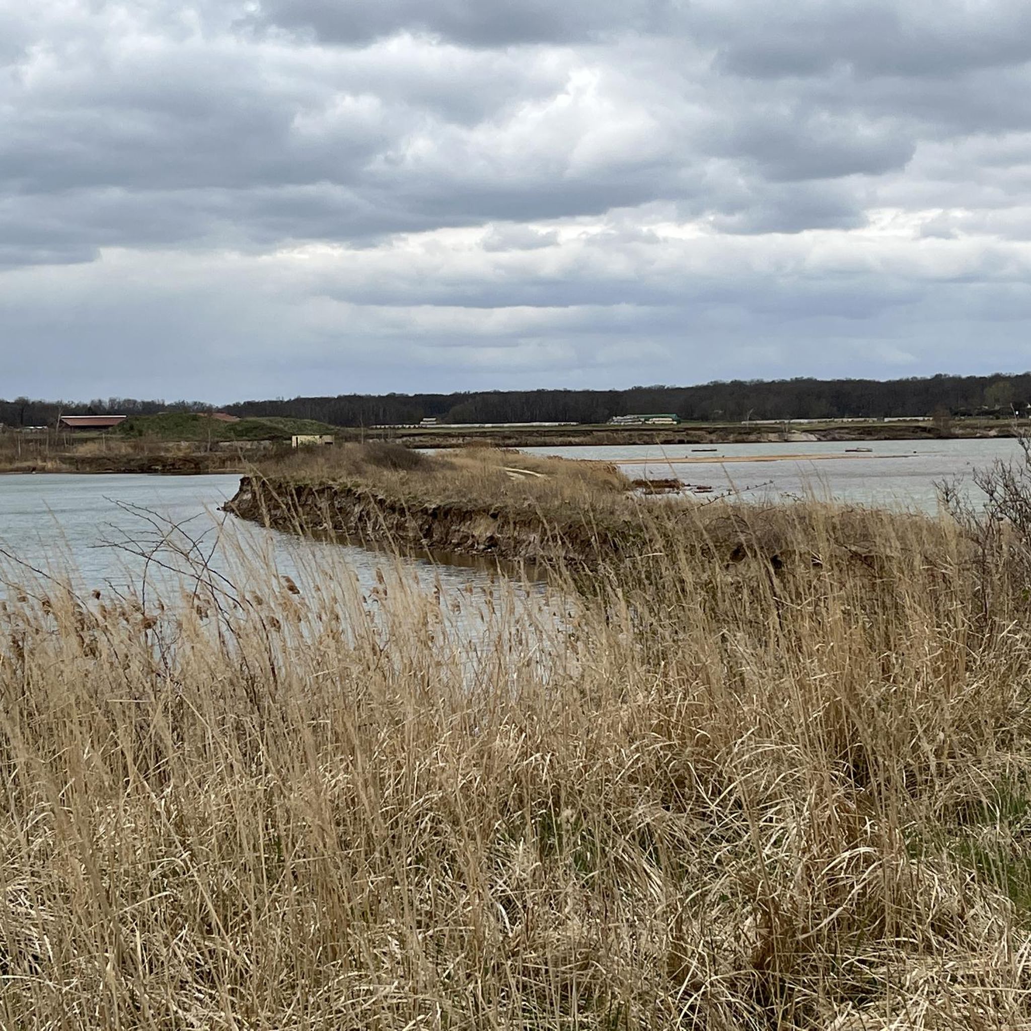
The islands are an ideal retreat for many water birds.
4
0
The logs will soon look like charcoal. 🤭
8
0
Even though there is not much traffic here, you should not cross the tracks at this point.
7
0

Frequently Asked Questions
What is the general difficulty of hiking trails around Wallendorfer Lake?
The hiking trails around Wallendorfer Lake are generally easy to navigate, with minimal inclines, making them suitable for most hikers. Out of over 660 available routes, more than 450 are classified as easy, and nearly 200 are moderate. Only a small number are considered difficult, ensuring options for various fitness levels.
Are the hiking trails around Wallendorfer Lake suitable for families with children?
Yes, many trails around Wallendorfer Lake are well-suited for families. The paths are generally easy with minimal inclines, and the extensive network of trails provides opportunities for shorter, manageable walks. The area's natural regeneration and calm waters offer a pleasant environment for children to explore.
Can I bring my dog on the hiking trails around Wallendorfer Lake?
Yes, dogs are generally welcome on the hiking trails around Wallendorfer Lake. However, the area is a haven for numerous bird species, especially between Wallendorfer Lake and the adjacent gravel pit. To protect these sensitive breeding and overnight areas, it is important to keep dogs on designated paths and under control.
Are there many circular hiking routes around Wallendorfer Lake?
Yes, the region offers an extensive network of circular hiking trails. Popular options include loops around Wallendorfer Lake itself, providing continuous views of the water. For example, the Gravel pit with breeding colonies – Bench With a View of the Lake loop from Burgliebenau is an easy circular route.
What natural features can I expect to see while hiking around Wallendorfer Lake?
Hikers can expect to see a unique landscape shaped by post-mining regeneration. Key features include impressive floodplain forests along the White Elster and Luppe rivers, calm lake waters offering mirror-like reflections, and areas of natural succession where former mining landscapes are returning to nature. The area is also known for its bird sanctuaries.
Are there any specific points of interest or landmarks along the trails?
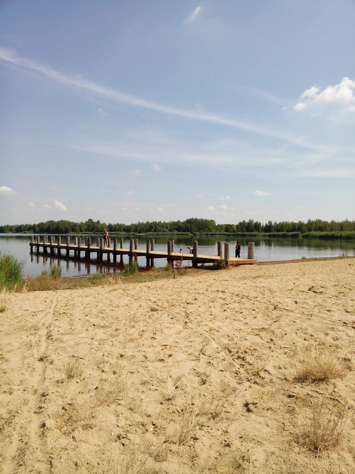
Yes, there are several points of interest. You can visit the distinctive Wooden pier at Wallendorfer Lake in the Burgliebenau area, which is a visual landmark. The adjacent gravel pit area is interesting for nature observation, especially for bird breeding colonies. On the south side of the lake, you can also find a Celtic Tree Circle.
What is the best time of year to go hiking around Wallendorfer Lake?
The best seasons for hiking around Wallendorfer Lake are spring and autumn. During these times, the weather is mild, and the natural beauty of the regenerating landscape and floodplain forests is particularly evident. The calm waters also offer picturesque reflections.
Where can I park when visiting Wallendorfer Lake for a hike?
While specific parking locations are not detailed in the guide, the area is generally accessible, and parking facilities are available to accommodate visitors. Many popular starting points for trails, such as Burgliebenau and Wallendorf (Luppe), typically offer designated parking areas for hikers.
Is Wallendorfer Lake accessible by public transport?
Wallendorfer Lake is easily accessible from nearby cities like Leipzig, Halle, and Merseburg. While the guide doesn't specify exact public transport routes, its proximity to these urban centers suggests that public transport options are available to reach the general area, making it an accessible escape for urban residents.
What do other hikers enjoy the most about hiking in Wallendorfer Lake?
The area is highly rated by the komoot community, with an average score of 4.5 stars from over 3,100 reviews. Hikers often praise the varied terrain, the peaceful atmosphere of the lake and surrounding forests, and the well-maintained paths that make exploring the unique post-mining landscape enjoyable.
Are there any longer hiking routes for more experienced hikers?
While many routes are easy, there are also moderate options for those seeking a bit more challenge. For example, the Gravel pit with breeding colonies – Wallendorf Beach loop from Burgliebenau is a moderate 8.9 km (5.5 miles) trail that offers a longer experience through varied scenery.
Are there any facilities or amenities available around Wallendorfer Lake?
The area is primarily focused on natural recreation. While specific cafes or restaurants directly on the trails are not highlighted, there are rest areas, such as the Rest Area at Wallendorfer See. For more extensive amenities, nearby towns and villages would be the best option.
Most popular routes around Wallendorfer Lake
Most popular attractions around Wallendorfer Lake

Get inspired with the komoot mobile app


Explore more
Browse the best Hikes in other regions.
