The best road cycling routes around Dautmergen
4.3
(199)
2,734
riders
150
rides
Road cycling around Dautmergen offers diverse terrain within the Swabian Alb, characterized by rolling hills, green meadows, and varied elevation changes. The region features picturesque valleys, secluded forest areas, and juniper heathlands, providing a mix of challenging ascents and exhilarating descents. The Schlichem River carves scenic routes through the area, including the impressive Schlichemklamm gorge. This landscape provides engaging routes for road cyclists of all levels.
Best road cycling routes around Dautmergen
- The most popular road cycling route is Schömberg…
Last updated: October 18, 2026
5.0
(1)
21
riders
Easy road ride. Great for any fitness level. Mostly well-paved surfaces and easy to ride.
4.0
(1)
20
riders
Hard road ride. Very good fitness required. Mostly well-paved surfaces and easy to ride.

16
riders
Moderate road ride. Good fitness required. Mostly well-paved surfaces and easy to ride.
13
riders
Moderate road ride. Good fitness required. Mostly well-paved surfaces and easy to ride.
10
riders
Moderate road ride. Good fitness required. Mostly well-paved surfaces and easy to ride.
Get access to more routes and recommendations from other explorers.
Already have an account?
Our route recommendations are based on thousands of hikes, rides, and runs completed by other people on komoot.
Start today with a free account
Your next adventure awaits.

Tips from the Community

In many places, you have a view of the Plettenberg here.
3
0

The two buildings on the mountain already look impressive. It was a well-considered location back then where they were built.
6
0
From below - in the valley - the castle and the church look really imposing: large and perched on the mountain, the two buildings.
5
0

With an interesting story on the board
6
0

Beautiful view of Haigerloch Castle 🏰 and the lower town church of St. Nicholas ⛪ - Haigerloch - Zollernalb district
0
0
The footbridge at the train station has often inspired us to take photos.
6
0

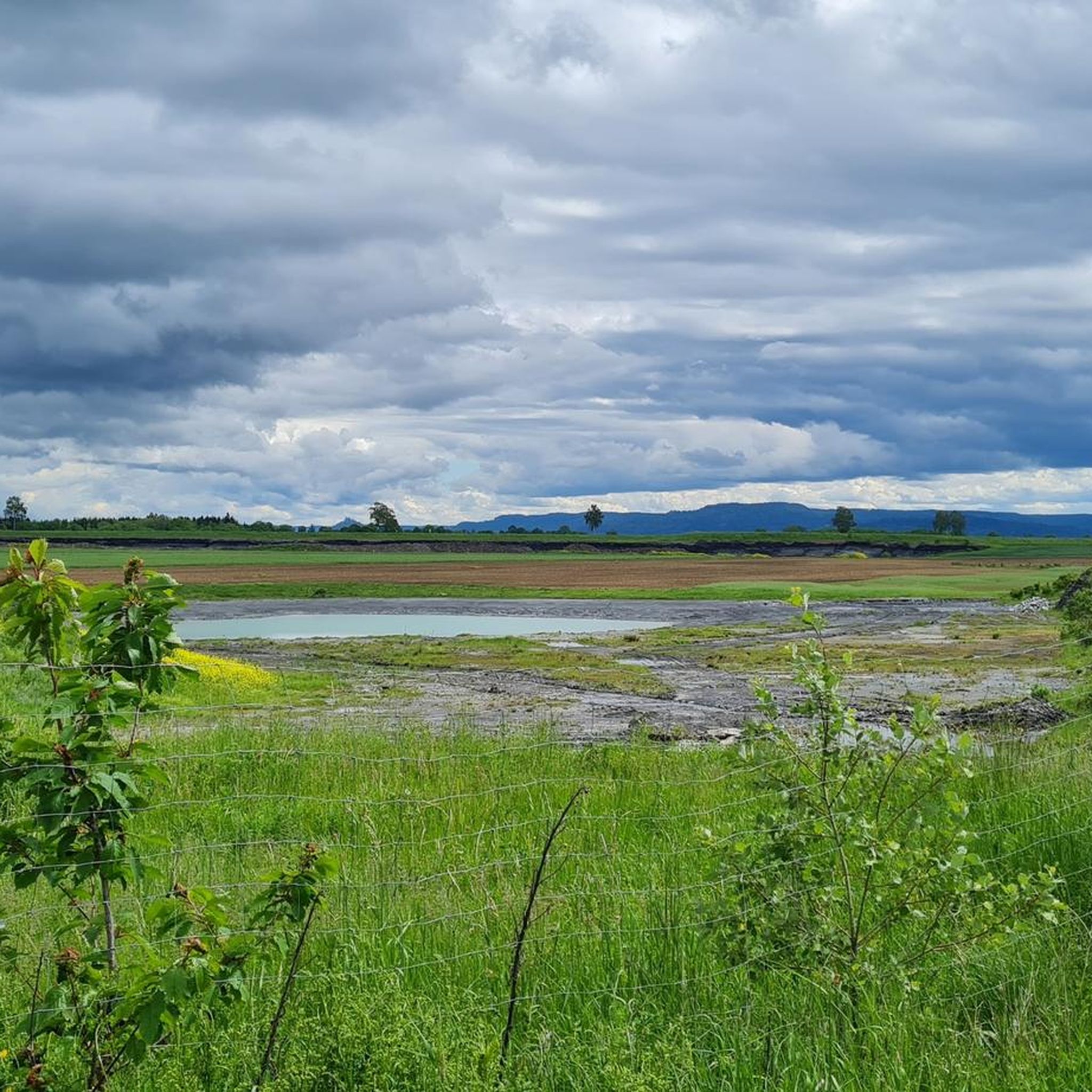
A reservoir used as a swimming lake. Lifeguards are on duty on weekends.
0
0

A bench right next to the bike path offers a beautiful view of the Alb. Hohenzollern Castle can be seen in the distance.
2
0
Frequently Asked Questions
What kind of terrain can I expect when road cycling around Dautmergen?
The region around Dautmergen, situated within the Swabian Alb, offers a diverse terrain characterized by rolling hills, green meadows, and varied elevation changes. You'll find a mix of challenging ascents and exhilarating descents, picturesque valleys, secluded forest areas, and juniper heathlands. The Schlichem River also carves scenic routes through the area, including the impressive Schlichemklamm gorge.
How many road cycling routes are available in the Dautmergen area?
There are over 150 road cycling routes available around Dautmergen. These routes cater to various skill levels, with a significant number of moderate options, as well as easier and more difficult trails.
Are there routes suitable for beginners or those looking for an easy ride?
Yes, Dautmergen offers several easy road cycling routes. For example, the View of Hohenzollern Castle – Beautiful Valley Near Isingen loop from Dotternhausen-Dormettingen is an easy 20.3-mile path that provides scenic views towards Hohenzollern Castle and passes through beautiful valleys.
What are some of the natural attractions or viewpoints I can see while cycling?
The region boasts several notable peaks and natural features offering breathtaking panoramic views. You can cycle towards areas with views of the Lemberg Tower (the highest point of the Swabian Alb), or the Lochenstein summit cross. The impressive Schlichem Gorge, where the river has carved its path through shell limestone, is another striking natural highlight.
Are there any challenging road cycling routes for experienced riders?
Absolutely. For experienced riders seeking a challenge, routes like the View of the A81 Bridge – Eyach Valley Scenic Road loop from Dotternhausen-Dormettingen offer significant elevation changes over its 61.7 miles. The Swabian Alb region, in general, provides ample opportunities for longer tours with substantial climbs, requiring good stamina.
What do other cyclists say about the road cycling routes in Dautmergen?
The road cycling routes in Dautmergen are highly rated by the komoot community, with an average score of 4.4 stars from over 150 reviews. Cyclists often praise the varied terrain, picturesque valleys, and the mix of challenging ascents and exhilarating descents that make for an engaging experience.
Is Dautmergen well-connected by public transport for cyclists?
While Dautmergen is a charming town, public transport options for cyclists bringing their bikes might be limited. It's advisable to check local bus and train schedules in advance for specific routes and bike carriage policies, especially if planning to access trails from further afield within the Zollernalbkreis district.
Where can I park my car when going road cycling in Dautmergen?
Parking is generally available in and around Dautmergen, particularly near trailheads or town centers. For specific routes, it's recommended to check the starting points on komoot for designated parking areas. Many routes, like those starting from Dotternhausen-Dormettingen, often have convenient parking options nearby.
Are there any family-friendly road cycling routes in the area?
Yes, the region offers family-friendly bike routes that highlight the Swabian Alb Geopark. These routes often utilize bike paths and lightly trafficked roads, providing a safer and more relaxed experience for families. Look for routes categorized as 'easy' for the most suitable options.
What is the best season for road cycling around Dautmergen?
The best season for road cycling around Dautmergen is typically from spring to autumn. During these months, the weather is generally milder, and the landscapes are vibrant. While some routes might be accessible in winter, be prepared for colder temperatures and potentially icy conditions, especially at higher elevations.
Are there any circular road cycling routes available?
Many of the road cycling routes around Dautmergen are designed as loops, offering convenient circular tours. Examples include the Schömberg Reservoir – Schlichem Dam loop from Dotternhausen-Dormettingen and the Schömberg Reservoir – Laufen–Tieringen Climb loop from Dotternhausen-Dormettingen, allowing you to start and end at the same point.
What other attractions are near the road cycling routes in Dautmergen?
Beyond the natural beauty, you can find other points of interest. The Lochen Pass is a notable feature in the area. While not directly on a cycling path, the 16th-century Renaissance Weitenburg Castle is a significant attraction in the vicinity. The Schömberger reservoir and the SchieferErlebnis Dormettingen can also be incorporated into longer cycling excursions.
Most popular attractions around Dautmergen

Get inspired with the komoot mobile app


Explore more
Browse the best Road cycling routes in other regions.
