The best walks and hikes around Raßnitzer Lake
4.5
(3117)
12,157
hikers
641
hikes
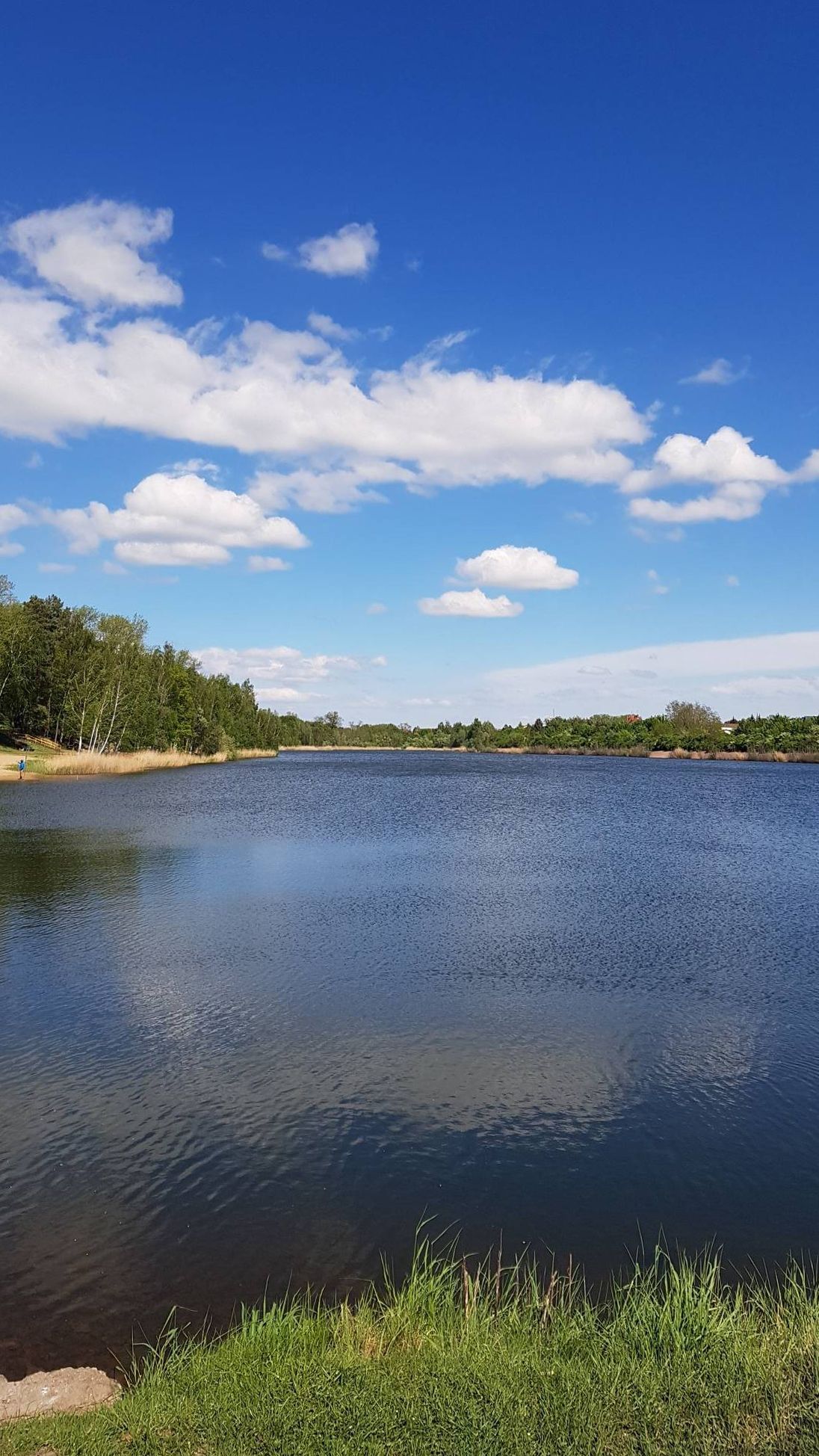
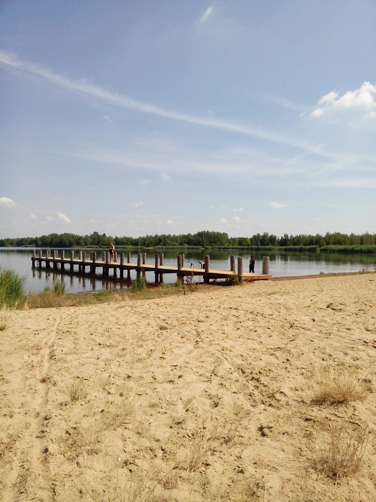
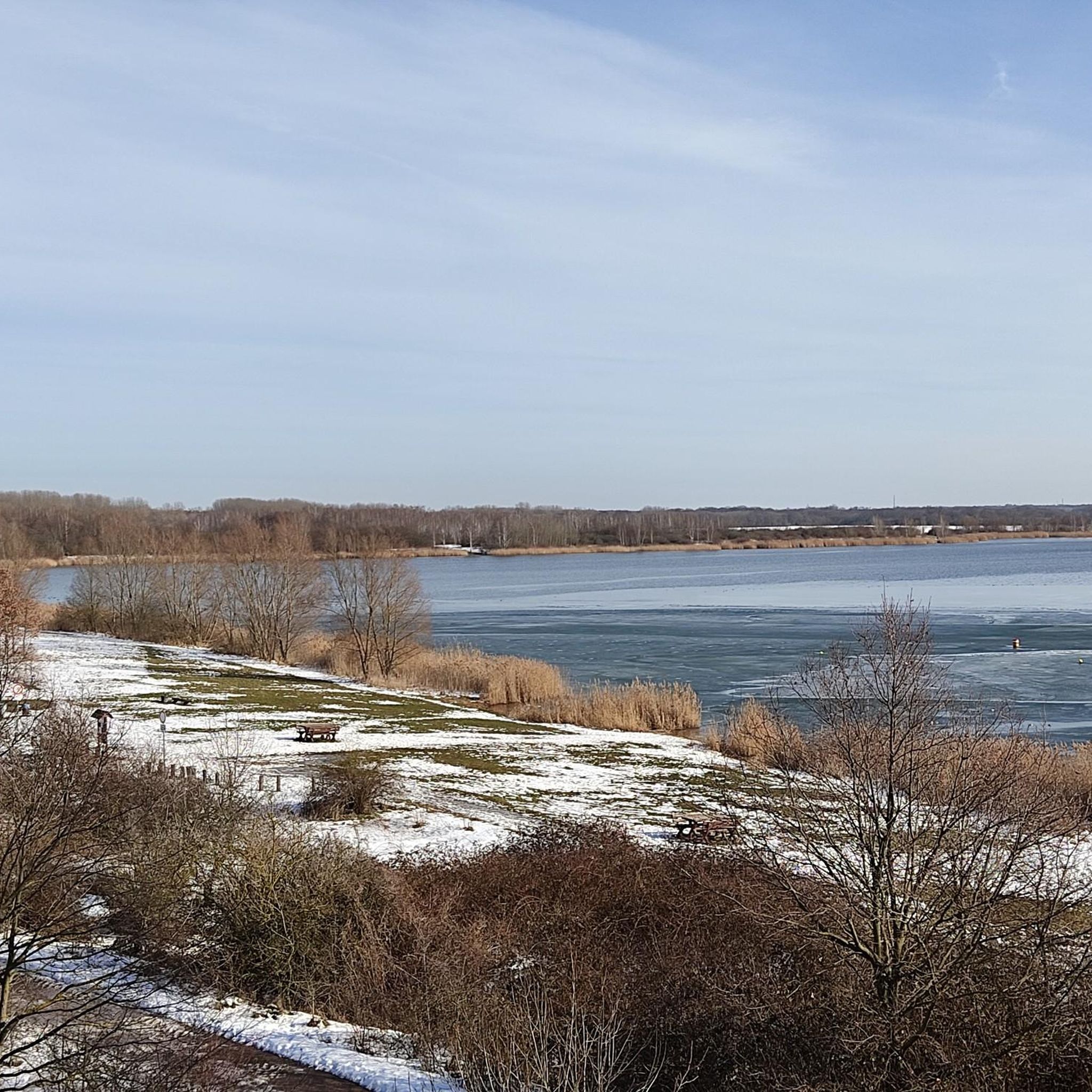
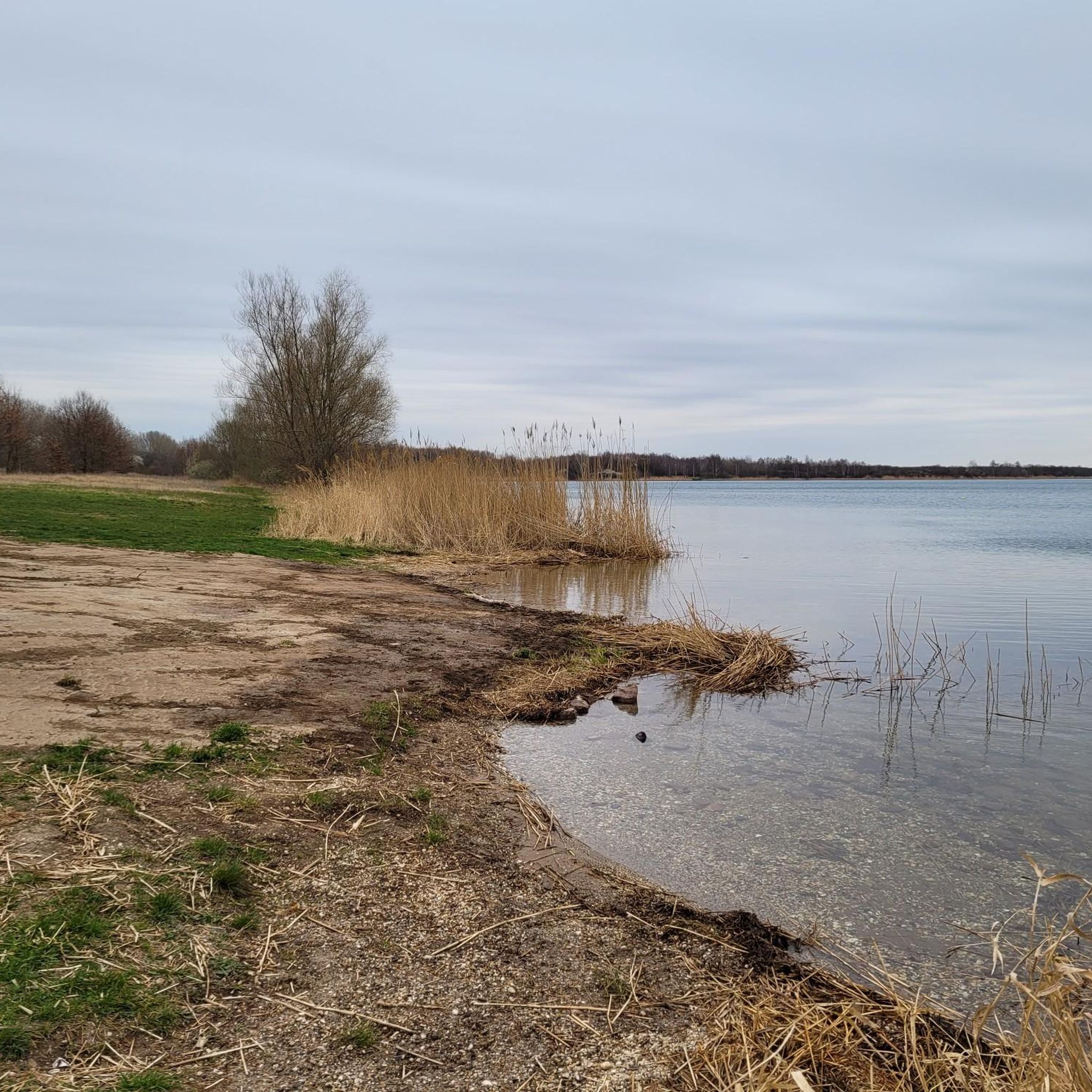
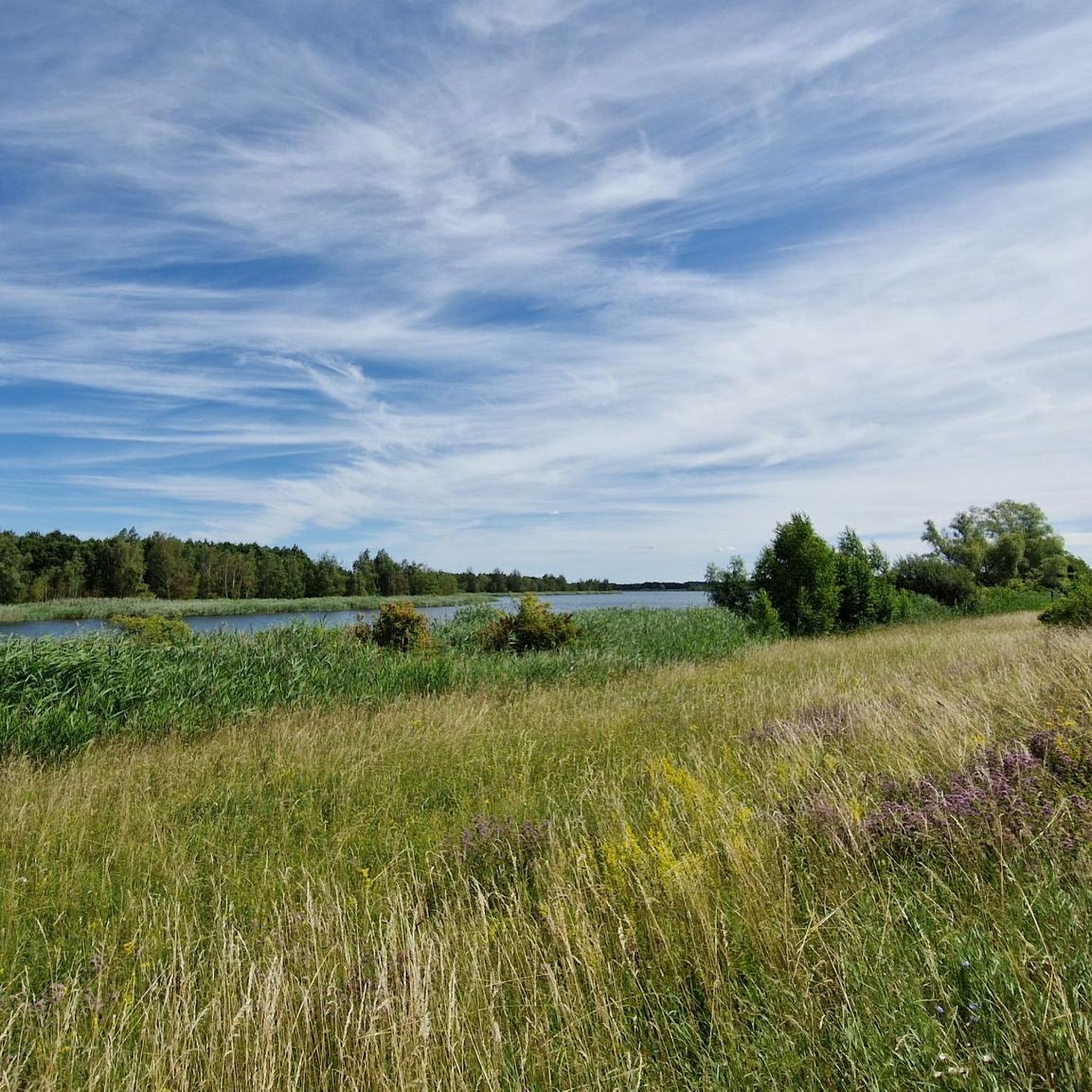
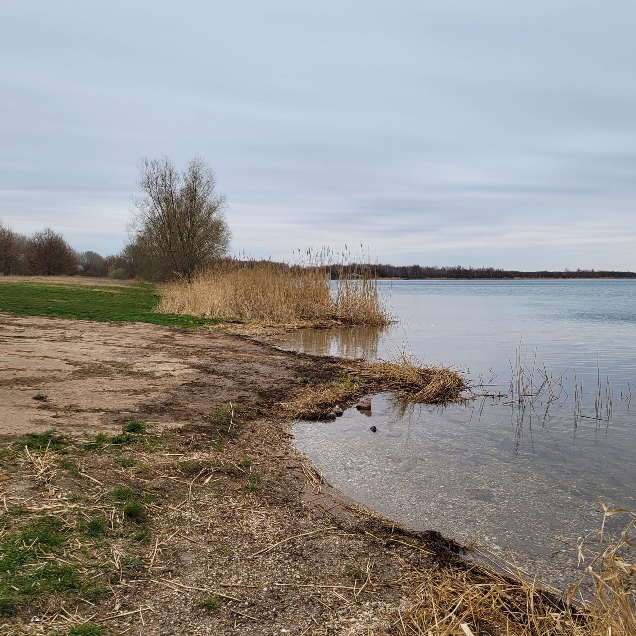
Hiking around Raßnitzer Lake offers a diverse landscape, transformed from a former brown coal open-pit mine into a natural recreation area in Saxony-Anhalt, Germany. The terrain primarily features flat paths, with options for both paved and unpaved surfaces. The lake's circumference is approximately 6.8 miles (11 km), providing continuous scenic views. This area is characterized by its lake views and varied surfaces, suitable for different hiking preferences.
Best hiking trails around Raßnitzer Lake
- The most popular hiking route is Elster Bridge – Rassnitzer Lake loop from Raßnitz, a 5.4 miles (8.7 km) trail that takes 2 hours 12 minutes to complete. This moderate route offers views of the lake and surrounding natural areas.
- Another top favourite among local hikers is Rassnitzer Lake – Lake Wallendorf loop from Raßnitz, a moderate 6.7 miles (10.7 km) path. This trail connects Raßnitzer Lake with the adjacent Wallendorfer Lake, providing extended lakeside scenery.
- Local hikers also love the Observation tower at Raßnitzer Lake – Rassnitzer Lake loop from Raßnitz, a 2.2 miles (3.6 km) trail leading through lakeside paths, often completed in about 55 minutes.
- Hiking around Raßnitzer Lake is defined by scenic lake views, diverse terrain including paved and unpaved sections, and opportunities for birdwatching. The network offers options for different ability levels, from easy walks to moderate routes.
- The routes in Raßnitzer Lake are highly rated by the komoot community with an average score of 4.5 stars from over 3000 reviews. More than 12000 hikers have used komoot to explore Raßnitzer Lake's varied terrain.
Last updated: July 10, 2026
4.9
(8)
29
hikers
8.76km
02:14
20m
20m
Moderate hike. Good fitness required. Easily-accessible paths. Suitable for all skill levels.
4.9
(9)
42
hikers
11.2km
02:50
30m
30m
Moderate hike. Good fitness required. Easily-accessible paths. Suitable for all skill levels.

Sign up for free
5.0
(25)
32
hikers
Easy hike. Great for any fitness level. Easily-accessible paths. Suitable for all skill levels.
5.0
(1)
11
hikers
Moderate hike. Good fitness required. Easily-accessible paths. Suitable for all skill levels.
5.0
(4)
9
hikers
20.5km
05:10
40m
40m
Hard hike. Very good fitness required. Easily-accessible paths. Suitable for all skill levels.
Get access to more routes and recommendations from other explorers.
Sign up for free
Already have an account?
Our route recommendations are based on thousands of hikes, rides, and runs completed by other people on komoot.
Start today with a free account
Your next adventure awaits.
Login or Signup
Popular around Raßnitzer Lake

Other adventures around Raßnitzer Lake

Tips from the Community

No matter where, here everyone will find their place to switch off
1
0
A bridge to switching off
0
0

A wonderful place to linger
1
0


A bike tour around the Raßnitzer and Wallendorfer lakes, ridden as an 8, makes for a beautiful 20 km long bike tour! Preferably with a mountain bike or a well-profiled touring bike, for the young people the gravel bike is also possible 👍😉
1
0


Shortly before Dölkau it is not recommended to walk through the forest, it is a risk to life, so we choose the road. If the weather changes dramatically, the clouds are heavy and low coupled with strong winds, we speed up our pace. After a short detour to the castle pond, we quickly seek refuge from the storm under the archway of the ruins. Are they the remains of the castle's farm buildings. https://www.komoot.com/de-de/tour/1231402486
0
0

The panorama of Merseburg appears on the horizon
1
0
Frequently Asked Questions
How many hiking trails are available around Raßnitzer Lake?
There are over 660 hiking routes around Raßnitzer Lake. The majority, around 450, are considered easy, while nearly 200 are moderate, and a small number are more challenging.
What kind of terrain can I expect on the hiking trails around Raßnitzer Lake?
The trails around Raßnitzer Lake offer diverse terrain. Many paths feature mostly paved surfaces, making them accessible, while other segments can be unpaved, providing a more natural experience. The area is generally flat, making it suitable for various fitness levels.
Are there any circular hiking routes around Raßnitzer Lake?
Yes, a key attraction is the ability to circumnavigate the lake. The full circumference is approximately 11 kilometers (6.8 miles), offering continuous scenic views. An example is the Rassnitzer Lake – Lake Wallendorf loop from Raßnitz, which extends the experience to a neighboring lake.
Is Raßnitzer Lake a good destination for family-friendly hikes?
Absolutely. The flat terrain and variety of paths, including many easy routes, make Raßnitzer Lake suitable for families. You can find tours ranging from under two hours with minimal elevation gain, perfect for all ages.
What natural features or landmarks can I see while hiking around Raßnitzer Lake?
Raßnitzer Lake offers scenic lake views and is known for its rich birdlife, especially during migration seasons. You might spot species like Smew, Slavonian Grebe, and various reed-based birds. Notable points of interest include the Beaver Activity at Raßnitzer See and the Rest Area at Raßnitzer See. There's also an observation tower, which you can visit on routes like the Observation tower at Raßnitzer Lake – Rassnitzer Lake loop from Raßnitz.
When is the best time of year to go hiking at Raßnitzer Lake?
The area is particularly enchanting in spring when nature awakens and blossoms, and in autumn, when the vibrant colors of the foliage provide a picturesque backdrop for walks along the lake. Birdwatching is especially rewarding in winter and autumn during migration.
Are dogs allowed on the hiking trails around Raßnitzer Lake?
Generally, dogs are welcome on trails around Raßnitzer Lake. However, it's always recommended to keep them on a leash, especially in areas with sensitive wildlife or near designated swimming zones, to protect the local flora and fauna.
What do other hikers enjoy most about hiking in Raßnitzer Lake?
The routes in Raßnitzer Lake are highly rated by the komoot community, with an average score of 4.5 stars from over 3000 reviews. Hikers often praise the continuous scenic lake views, the diverse terrain that caters to different preferences, and the opportunities for birdwatching.
Can I combine hiking with other activities at Raßnitzer Lake?
Yes, Raßnitzer Lake is officially open for swimming, with excellent water quality, and designated swimming areas are available. The lake is also integrated into a larger network of trails, including connections to the Luppedamm and the Elster Cycle Route, allowing for extended explorations by foot or bike.
Are there any easy routes for beginners or those looking for a short walk?
Yes, there are many easy routes. For example, the View of the White Elster – Rassnitzer Lake loop from Raßnitz is an easy 7 km path, and the Observation tower at Raßnitzer Lake – Rassnitzer Lake loop from Raßnitz is a shorter 3.6 km trail, often completed in under an hour.
Is there parking available for hikers at Raßnitzer Lake?
While specific parking locations are not detailed, as a popular recreational area, Raßnitzer Lake typically offers designated parking areas near trailheads and access points. It's advisable to check local signage upon arrival for the most convenient spots.
Most popular routes around Raßnitzer Lake
Most popular attractions around Raßnitzer Lake

Get inspired with the komoot mobile app


Explore more
Browse the best Hikes in other regions.
