The best road cycling routes around North Little Rock
4.7
(31)
1,742
riders
58
rides
Road cycling around North Little Rock features a landscape shaped by the Arkansas River, offering extensive paved multi-use trails. The region is characterized by its riverine environment, connecting large urban parks and iconic bridges. Cyclists can navigate routes alongside the Arkansas River, utilizing structures like the Big Dam Bridge. The area provides a mix of flat agricultural stretches and routes with moderate elevation changes.
Best road cycling routes around North Little Rock
- The most popular road cycling route is Big…
Last updated: October 19, 2026
124
riders
43.1km
01:52
160m
160m
Easy road ride. Great for any fitness level. Mostly well-paved surfaces and easy to ride.
5.0
(2)
43
riders
Easy road ride. Great for any fitness level. Mostly well-paved surfaces and easy to ride.

5.0
(1)
70
riders
Easy road ride. Great for any fitness level. Mostly well-paved surfaces and easy to ride.
26
riders
Moderate road ride. Good fitness required. Mostly well-paved surfaces and easy to ride.
5.0
(1)
38
riders
76.8km
03:20
520m
520m
Moderate road ride. Good fitness required. Mostly well-paved surfaces and easy to ride.
Get access to more routes and recommendations from other explorers.
Already have an account?
Our route recommendations are based on thousands of hikes, rides, and runs completed by other people on komoot.
Start today with a free account
Your next adventure awaits.


Tips from the Community

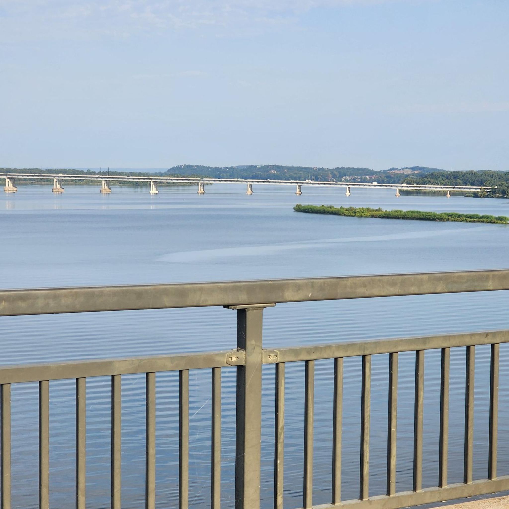
The Two Rivers Park Bridge is a modern design combining concrete and steel, creating a sturdy and attractive structure. The bridge has a considerable length, allowing pedestrians and cyclists to easily move between the two banks of the river. https://spacewaves.io
0
0

The Arkansas River Trail is pretty much the perfect bike trail, although active efforts are underway to make it even better and more accessible to all users. In the meantime, though, it remains part of a more than 80-mile loop that traverses both banks of the Arkansas River, including a couple of lovely pedestrian bridges and access to walkable parts of downtown.
0
0

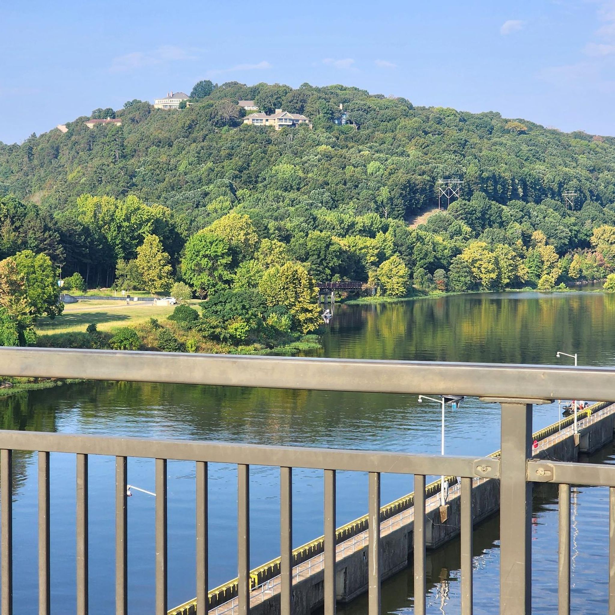
Big Dam Bridge was Originally planned to be called the Murray Bridge, but that name did not stick. The bridge streches over the Arkansas River and Murray Lock and Dam, connecting Little Rock and North Little Rock. Open exclusively to pedestrians and cyclists, it spans 4,226 feet, making it the longest pedestrian/bicycle bridge in North America never used by trains or vehicles. Rising up 90 feet above the river, the bridge gives great views and connects Murray Park to Cook's Landing Park. Opened in 2006, it cost about $12.8 million to build and hosts popular races, earning awards for its design and contribution to the community's health and economy.
0
0

The Arkansas River Trail is a great trail that runs on both sides of the river. In total, the trail is almost 16-miles long. This section is on the North Little Rock section and runs along the river, with views of Little Rock in the distance.
0
0

Crossing the Riverfront Park is an interesting alternative (3 routes: upper middle and lower) to the busy Prédisent Clinton Avenue. My favorite restaurant: Le Stickyz
0
0

The Old State House Museum is in the building that was once the state's first capital building. The museum has exhibits about Arkansas's history.
0
0
This fountain is located in the centerpiece of the grounds of the William J. Clinton Library and Museum, the Celebration Circle. A time capsule is buried in the center of the paved circle.
0
0
The Old State House Museum is in the building that was once the state's first capitol building. The museum has exhibits about Arkansas's history.
0
0
Frequently Asked Questions
How many road cycling routes are available in North Little Rock?
North Little Rock offers over 50 road cycling routes, catering to various skill levels. You'll find a good mix of easy, moderate, and challenging rides, with 27 easy, 27 moderate, and 4 difficult routes available on komoot.
Are there road cycling routes suitable for beginners or families in North Little Rock?
Yes, North Little Rock has several easy road cycling routes perfect for beginners and families. Many of these utilize the extensive paved sections of the Arkansas River Trail, which are generally flat and separated from vehicular traffic. An example is the Big Dam Bridge – Arkansas River Trail loop from Canoe and Bike Rental, which is an easy 14.5-mile ride through riverside parkland.
What are some of the most scenic viewpoints or natural features along road cycling routes in North Little Rock?
Many routes offer stunning views of the Arkansas River, especially from the iconic Big Dam Bridge, which provides panoramic vistas. The Arkansas River Trail itself, a significant portion of which runs through North Little Rock, offers picturesque riverside scenery. For a different landscape, routes like Harper's Loop showcase the state's farmland with views of cotton, corn, and soybean fields, often shaded by century-old pecan trees.
Are there any long-distance or challenging road cycling routes for experienced riders?
Yes, experienced riders can find challenging routes that extend further. The Big Dam Bridge – Two Rivers Park Bridge loop from Little Rock is a difficult 69.9-mile path that provides varied scenery and a more demanding endurance ride. Another option is the Arkansas State Capitol – Big Dam Bridge loop from Little Rock, a difficult 73.3-mile route with significant elevation changes.
What kind of terrain can I expect on road cycling routes in North Little Rock?
The terrain around North Little Rock is quite diverse. You'll find extensive paved multi-use trails, particularly along the Arkansas River, which are generally flat. Some routes venture into agricultural areas, offering flat stretches through farmlands. Other routes may include moderate elevation changes, especially as you move away from the immediate riverfront, providing a varied cycling experience.
What do other road cyclists enjoy most about cycling in North Little Rock?
The road cycling routes in North Little Rock are highly rated by the komoot community, with an average score of 4.7 stars from over 28 reviews. Cyclists often praise the well-maintained paved trails, the scenic views along the Arkansas River, and the connectivity provided by bridges like the Big Dam Bridge, which allows for varied loop options.
Are there any notable landmarks or attractions to see along the road cycling routes?
Absolutely. Many routes incorporate significant landmarks. The Big Dam Bridge is a major attraction and a highlight on many rides. You might also pass by the Murray Lock and Dam on the Arkansas River, or cycle through areas near Julius Breckling Riverfront Park. The Arkansas River Trail itself is a prominent feature, connecting various points of interest.
Are there loop trails available for road cycling in North Little Rock?
Yes, loop trails are a prominent feature of road cycling in North Little Rock, largely thanks to the connectivity of the Arkansas River Trail and its bridges. Routes like the Big Dam Bridge – Arkansas River Trail loop from Little Rock are excellent examples, allowing cyclists to start and end at the same point while enjoying diverse scenery.
Where can I find information about parking for road biking trails in North Little Rock?
Many parks and trailheads along the Arkansas River Trail system offer parking facilities. For specific information on parking locations and access points for trails in North Little Rock, you can consult the city's official parks and recreation resources. For more details, you may find information on the city's website: North Little Rock Trails.
What is the best time of year for road biking in North Little Rock?
Spring and fall generally offer the most pleasant conditions for road biking in North Little Rock, with milder temperatures and often vibrant foliage. While summer can be hot and humid, early mornings or late afternoons can still be enjoyable. Winter cycling is possible, but be prepared for cooler temperatures.
Are there any routes that offer views of the Ouachita Mountains?
While North Little Rock itself is primarily riverine and urban, longer road cycling routes that extend further afield, such as extensions of the Wye Mountain Loop, can offer dazzling views of the Arkansas River and the Ouachita Mountains. These views are particularly stunning in the fall when the foliage is vibrant.
Can I access road cycling trails using public transport in North Little Rock?
Public transport access to specific trailheads can vary. Many of the main cycling routes, especially those along the Arkansas River Trail, are centrally located and accessible within the urban areas of North Little Rock and Little Rock. For detailed information on bus routes and stops near trail access points, it's best to check the local public transit authority's schedule and maps.
Most popular routes around North Little Rock
Most popular attractions around North Little Rock

Get inspired with the komoot mobile app


Explore more
Browse the best Road cycling routes in other regions.
