The best road cycling routes around Graureihersee
4.6
(202)
2,829
riders
166
rides
Road cycling routes around Graureihersee are characterized by varied landscapes, often following river courses and passing through cultural areas. The terrain generally features gentle gradients and low elevation changes, with most ascents qualifying as hills. The presence of the Graureiherkolonie suggests an environment with wetlands or water bodies, contributing to the scenic diversity of the area. This region offers a network of paths suitable for road cycling, connecting natural features with local points of interest.
Best road cycling routes around…
Last updated: July 10, 2026
5.0
(1)
29
riders
Easy road ride. Great for any fitness level. Mostly well-paved surfaces and easy to ride.
32
riders
63.1km
02:24
130m
130m
Moderate road ride. Good fitness required. Mostly well-paved surfaces and easy to ride.

Sign up for free
5.0
(1)
22
riders
Easy road ride. Great for any fitness level. Mostly well-paved surfaces and easy to ride.
13
riders
Moderate road ride. Good fitness required. Mostly well-paved surfaces and easy to ride.
12
riders
Moderate road ride. Good fitness required. Mostly well-paved surfaces and easy to ride.
Get access to more routes and recommendations from other explorers.
Sign up for free
Already have an account?
Our route recommendations are based on thousands of hikes, rides, and runs completed by other people on komoot.
Start today with a free account
Your next adventure awaits.
Login or Signup
Tips from the Community

Very nicely asphalted road. Road bikes run very fast here.
0
0
Very nice section. You can pick up the pace here. Hardly any traffic!
0
0

It's a great place for hiking. The Seeperle restaurant is a good place to stop for a snack.
0
0

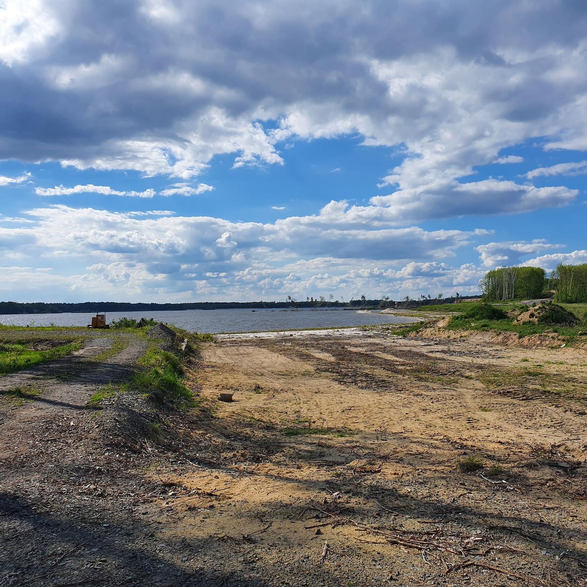
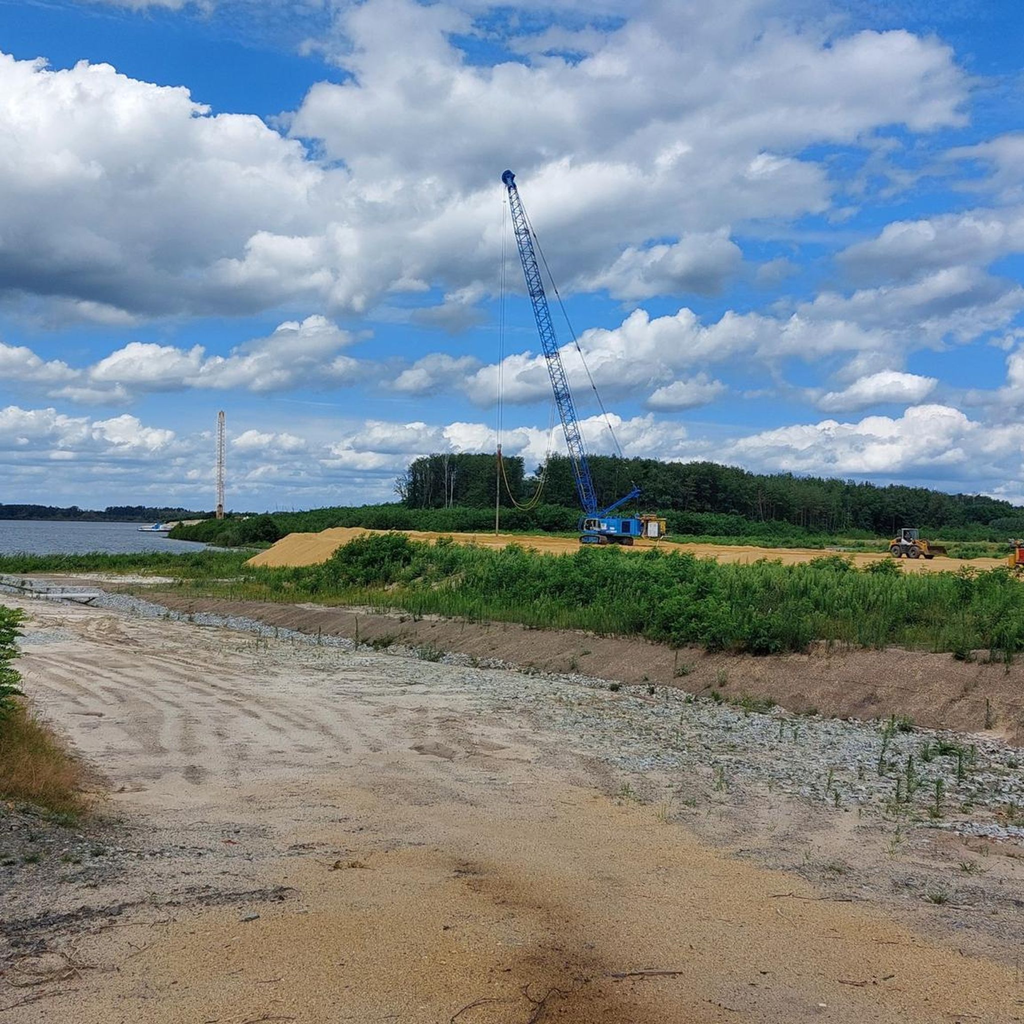
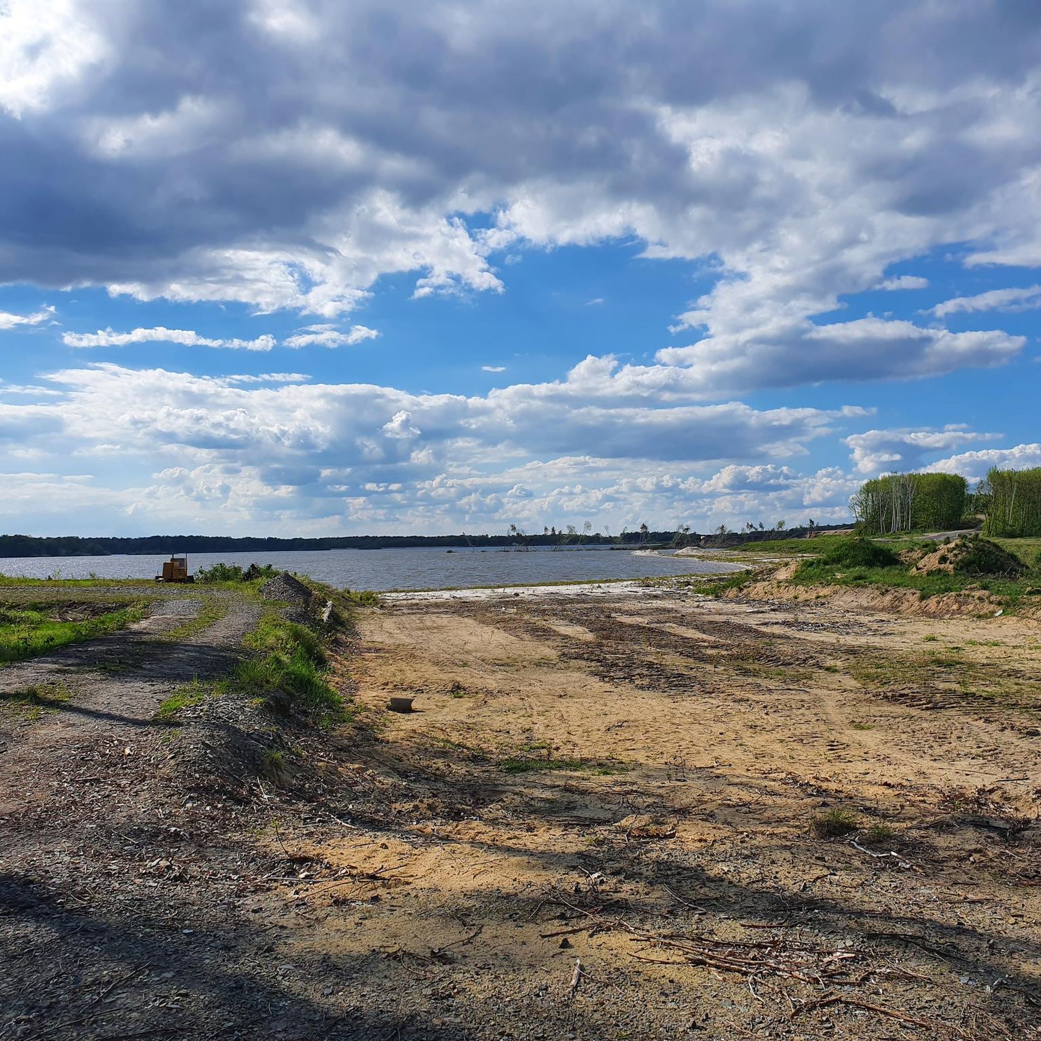
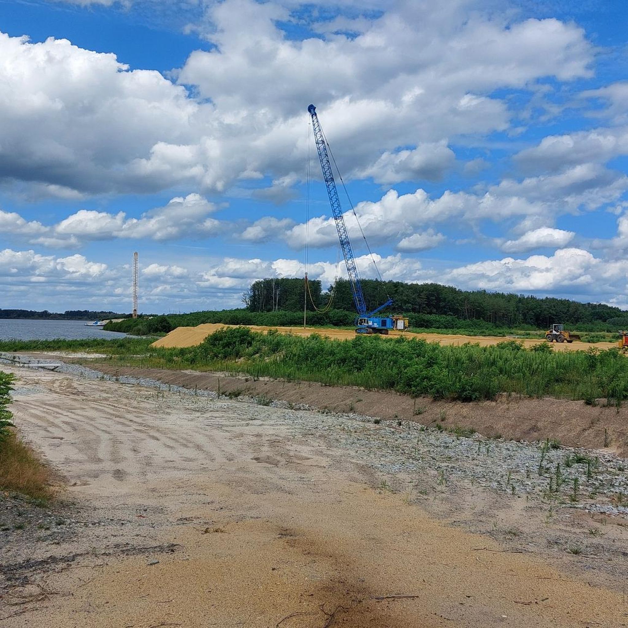
The cycle path around the lake is currently being resurfaced with asphalt. Afterwards, it will be suitable for cyclists and especially inline skaters. 👍🏻
0
0

This listed cemetery is one of the most beautiful in the country.
0
0

The beach bar is a possibility - even in the absence of other options....
0
0
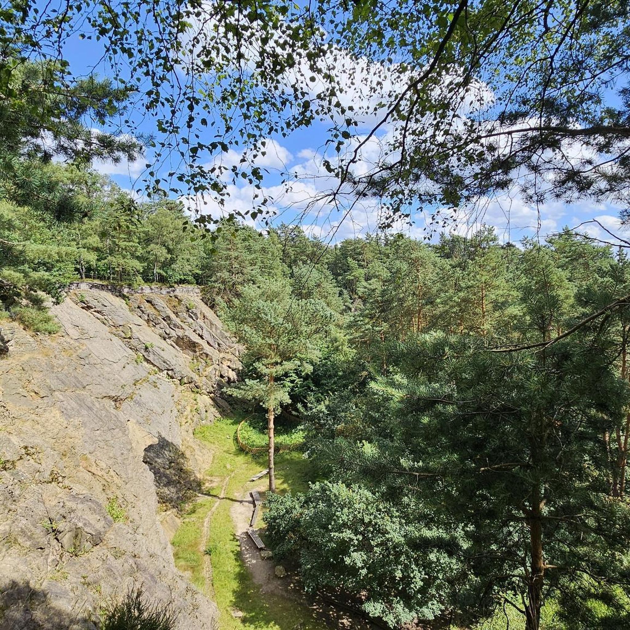
It is a beautiful view of the lake.
0
0

Super beautiful surroundings and a spring with delicious water
0
0
Frequently Asked Questions
What is the typical terrain and elevation like for road cycling around Graureihersee?
Road cycling routes around Graureihersee are characterized by varied landscapes, often following river courses and passing through cultural areas. The terrain generally features gentle gradients and low elevation changes, with most ascents qualifying as hills rather than challenging climbs. This makes the region suitable for relaxed rides.
Are there road cycling routes suitable for beginners or advanced riders?
Yes, the Graureihersee region offers a network of paths suitable for various ability levels. You'll find easy loops with minimal elevation gain, perfect for beginners, as well as moderate distances for more experienced riders seeking longer tours.
What are the typical distances of road cycling routes in the Graureihersee area?
The routes vary in length, offering options for different preferences. You can find shorter loops, such as the Zeißighof – Wittichenau City Brewery loop at about 14.7 miles (23.6 km), or longer rides like the Bärwalder See – View of Bärwalder Lake loop, which covers approximately 39.2 miles (63.1 km).
What natural features or viewpoints can I expect to see on road cycling routes?
The region's routes often follow water bodies and pass through varied landscapes. Given the presence of the Graureiherkolonie (Grey Heron Colony), you can expect environments with wetlands or lakes, offering picturesque natural settings. Routes like the Bärwalder See loop provide views of Bärwalder Lake.
Are there any notable landmarks or cultural highlights along the road cycling routes?
While specific attractions are not detailed for every route, the region is known for integrating local culture and gastronomy into the outdoor experience. You might encounter charming villages, historic sites, and opportunities to enjoy local food and drink. Routes like the Milkel Castle loop suggest historical points of interest.
Is parking available for road cyclists in the Graureihersee region?
While specific parking locations are not detailed for every starting point, it is generally possible to find parking near popular trailheads or in nearby towns. We recommend checking local signage or using komoot's route planner for specific parking suggestions for your chosen route.
Can I reach the cycling routes by public transport?
Information on public transport access directly to all trailheads is not explicitly provided. However, regions with well-developed cycling networks often have connections to public transport in larger towns or villages. It's advisable to research public transport options to your chosen starting point before your trip.
When is the best time of year to go road cycling around Graureihersee?
The best time for road cycling generally aligns with milder weather conditions. Spring and autumn offer pleasant temperatures and beautiful scenery, while summer can also be enjoyable, especially for routes that follow water bodies. Winter might be less ideal due to colder temperatures and potential for icy conditions.
Are there family-friendly road cycling routes in the Graureihersee area?
Yes, many of the routes, especially the easier ones with minimal elevation gain and varied landscapes, are suitable for families. The gentle gradients and scenic paths along rivers or lakes make for enjoyable rides for all ages. The Pyramid at Dreiweiberner See loop is an example of a route with gentle terrain.
What do other road cyclists enjoy the most about road cycling in Graureihersee?
The area is highly rated by the komoot community, with an average score of 4.7 stars from nearly 200 reviews. Reviewers often praise the varied landscapes, the gentle gradients, and the scenic routes that often follow water bodies, providing a relaxed and enjoyable cycling experience.
How many road cycling routes are available in the Graureihersee region?
There are over 170 road cycling routes available around Graureihersee, offering a wide variety of options for different skill levels and preferences. This includes 38 easy routes, 126 moderate routes, and 9 more challenging routes.
Are there any circular road cycling routes available?
Yes, many of the routes in the Graureihersee region are designed as loops, allowing you to start and end your ride at the same point. Examples include the Zeißighof – Wittichenau City Brewery loop and the Church of Rosenthal loop.
Most popular routes around Graureihersee

Get inspired with the komoot mobile app


Explore more
Browse the best Road cycling routes in other regions.
