The best walks and hikes around Dam Gottleuba
4.6
(14671)
48,489
hikers
617
hikes
Hiking around Dam Gottleuba offers a diverse range of trails within a densely wooded low mountain range. The region is characterized by picturesque landscapes, including the expansive Gottleuba Reservoir and its 52-meter-high dam wall. Trails often lead to distinctive viewpoints on surrounding ridges, providing vistas of the table mountains of Saxon Switzerland. The topography features idyllic meadow valleys and rugged rock formations like Raabsteine and Eulensteine.
Best hiking trails around Dam Gottleuba
- The most popular hiking route is Gottleuba Dam…
Last updated: June 28, 2026
4.4
(34)
128
hikers
4.72km
01:20
100m
100m
Easy hike. Great for any fitness level. Easily-accessible paths. Suitable for all skill levels.
4.3
(18)
70
hikers
Easy hike. Great for any fitness level. Easily-accessible paths. Suitable for all skill levels.

Sign up for free
4.9
(14)
23
hikers
Moderate hike. Good fitness required. Easily-accessible paths. Suitable for all skill levels.
5.0
(5)
29
hikers
Easy hike. Great for any fitness level. Easily-accessible paths. Suitable for all skill levels.
5.0
(1)
4
hikers
4.02km
01:08
90m
90m
Easy hike. Great for any fitness level. Easily-accessible paths. Suitable for all skill levels.
Get access to more routes and recommendations from other explorers.
Sign up for free
Already have an account?
Our route recommendations are based on thousands of hikes, rides, and runs completed by other people on komoot.
Start today with a free account
Your next adventure awaits.
Login or Signup

Tips from the Community

Beautiful view into the wide country
0
0

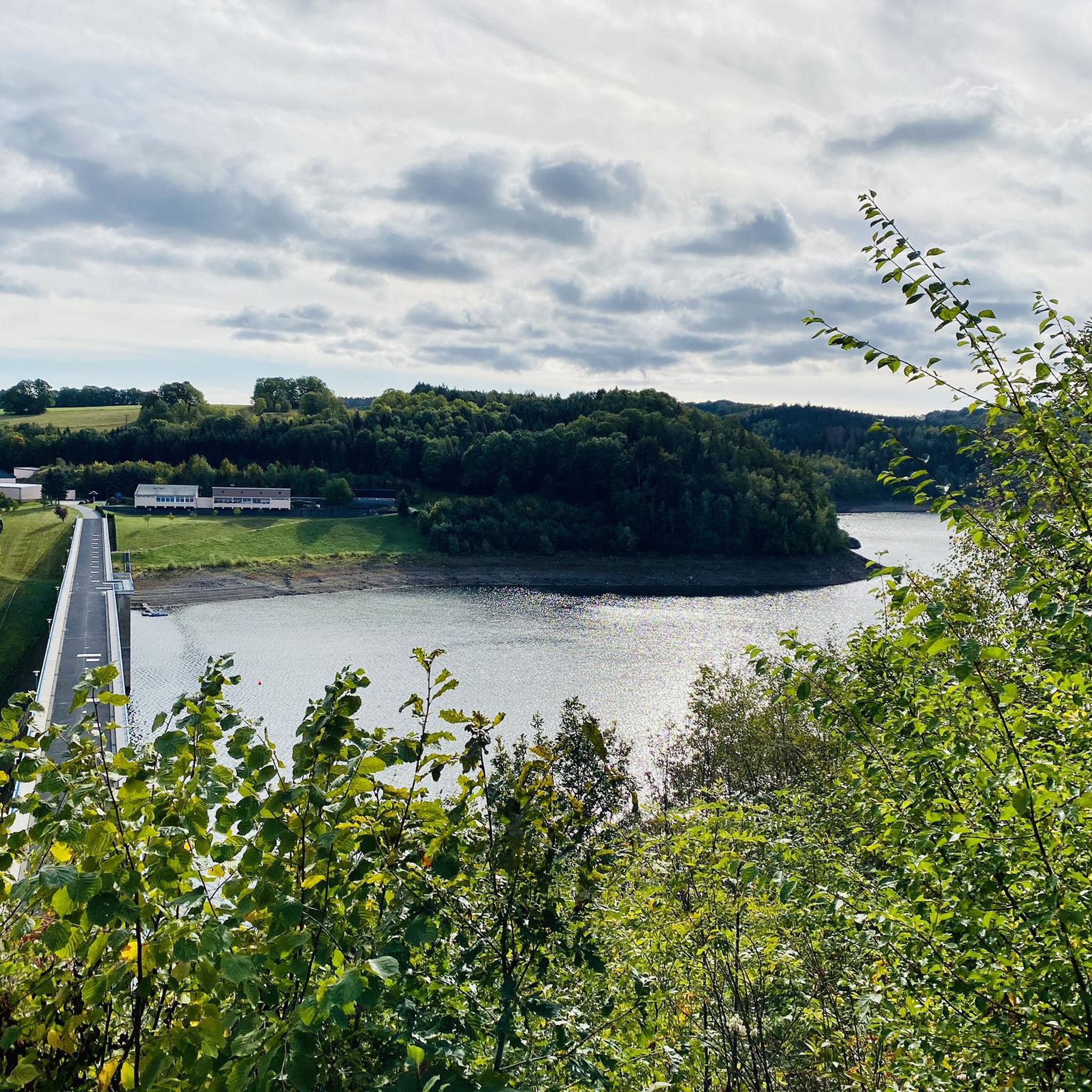
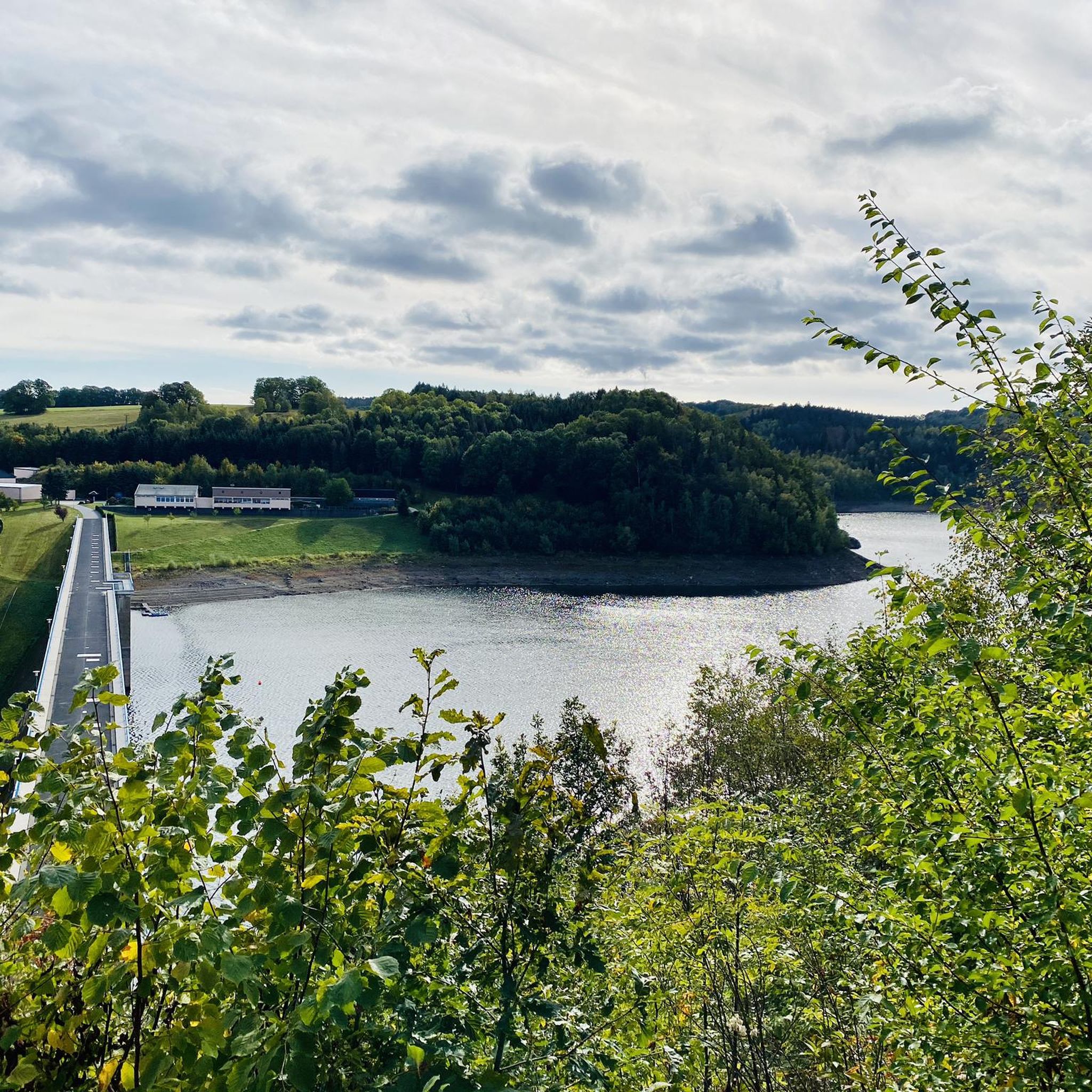
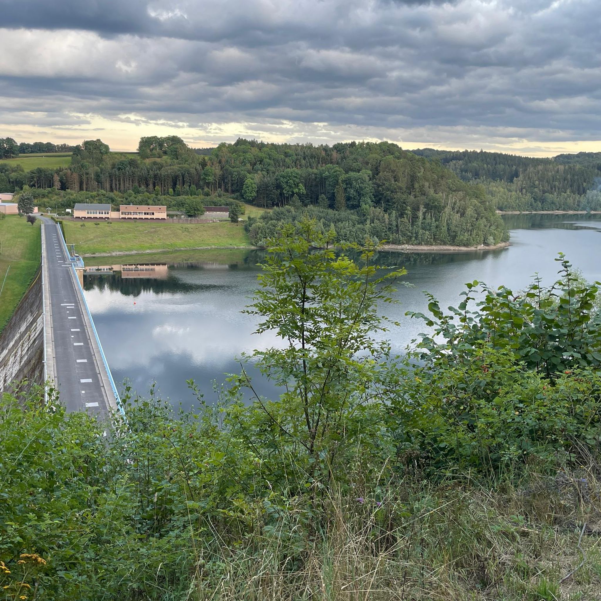
Unfortunately, it doesn't offer the best view of the dam due to an overgrown embankment, but it does offer shelter during sudden showers.
0
0
Beautiful little path along the Gottleuba
0
0
Good starting point for hikes in the surrounding area (Raabsteine and dam) and suitable for motorhomes
0
0
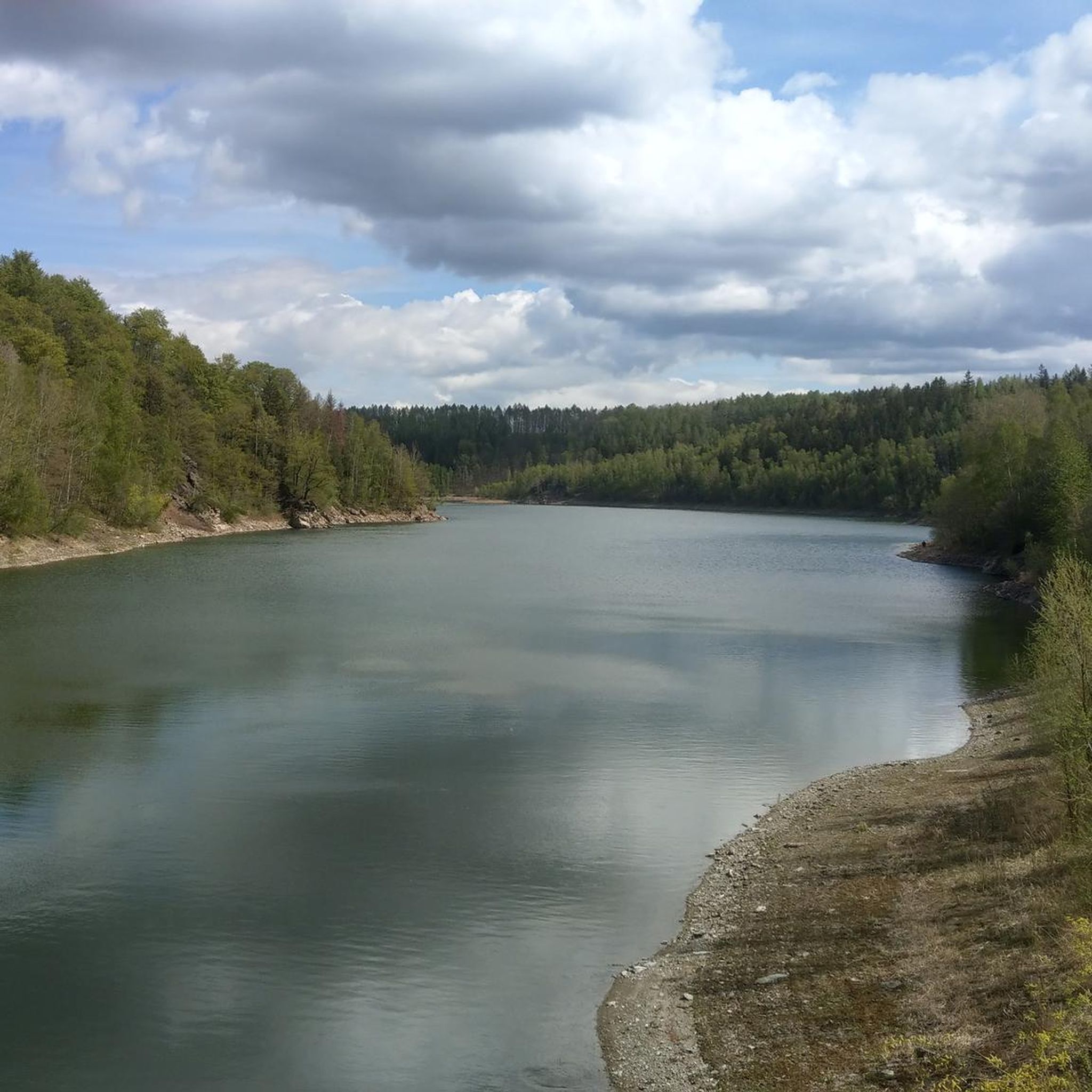
With a little searching you will find a beautiful panoramic view of the Gottleuba reservoir.
0
0
From here, you have a beautiful view westward toward the dam. What's less pleasing is that the mountain hotel blocks what is arguably the best view of Dresden in the area. Unfortunately, there's no way to see the Elbe Valley from here.
0
0

Impressive building, built between 1965 and 1973.
1
0

Take your time to walk along all the paths. A beautiful little rocky area = there are some beautiful formations for rock lovers.
1
0
Frequently Asked Questions
How many hiking trails are available around Dam Gottleuba?
Dam Gottleuba offers an extensive network of over 600 hiking trails. These include more than 260 easy routes, over 310 moderate trails, and around 30 more challenging options, catering to various fitness levels and preferences.
What types of landscapes can I expect to see while hiking near Dam Gottleuba?
The region features picturesque, densely wooded low mountain ranges, idyllic meadow valleys, and rugged rock formations such as Raabsteine, Eulensteine, and Eibischsteine. You'll also find trails with views of the expansive Gottleuba Reservoir and its impressive 52-meter-high dam wall.
Are there any viewpoints with scenic vistas in the Dam Gottleuba area?
Yes, many trails lead to distinctive viewpoints on the ridges surrounding Bad Gottleuba-Berggießhübel. Notable spots include those in Hartmannsbach, Augustusberg, and the Spanghorn, from where you can often see the table mountains of Saxon Switzerland. For example, consider the View from the Augustusberg – Raabsteine Rock Formation loop from Hartmannsbach.
Are there family-friendly hiking options around Dam Gottleuba?
Absolutely. The area offers routes designed with child-friendly highlights, such as the Napoleonstein, a rock labyrinth, and a forest adventure center. Many easy trails are suitable for families looking for a pleasant outdoor experience.
Can I bring my dog on the hiking trails?
Yes, many trails around Dam Gottleuba are dog-friendly. However, it's always recommended to keep your dog on a leash, especially in nature reserves like Hochstein-Karlsleite, and to be mindful of other hikers and wildlife.
What is the best time of year to go hiking in Dam Gottleuba?
Hiking in Dam Gottleuba is enjoyable throughout the year. Spring and autumn offer pleasant temperatures and vibrant scenery, while summer is ideal for longer days. Even in winter, the densely wooded landscape can provide beautiful, serene walks, though some trails might be more challenging with snow or ice.
Are there circular hiking routes available?
Yes, the region has an extensive network of circular hiking trails. Many popular routes, like the View of the Gottleuba Reservoir – Gottleuba Dam loop from Hartmannsbach, are designed as loops, allowing you to start and end at the same point.
What do other hikers enjoy most about the trails in Dam Gottleuba?
The trails in Dam Gottleuba are highly rated by the komoot community, with an average score of 4.6 stars from over 13,500 reviews. Hikers frequently praise the diverse terrain, the stunning views of the Gottleuba Reservoir, and the well-maintained paths through the serene, densely wooded low mountain range.
Are there any unique natural features or attractions to explore besides the dam itself?
Beyond the Gottleuba Dam, you can explore rugged rock formations like Raabsteine, Eulensteine, and Bernhardstein. Some routes also feature caves, tunnels, and crevices, adding an adventurous element to your hike. The Hochstein-Karlsleite nature reserve is another area of natural interest.
Is there parking available for hikers near the trailheads?
Yes, there are various parking options available near the trailheads around Dam Gottleuba, particularly in areas like Hartmannsbach, which serves as a common starting point for many popular routes.
Can I reach the hiking areas around Dam Gottleuba by public transport?
While specific direct routes to every trailhead might vary, Bad Gottleuba-Berggießhübel, the town associated with the dam, is generally accessible by public transport. From there, local buses or a short walk can connect you to various hiking starting points.
Are there any historical or cultural attractions nearby?
Yes, for those interested in the region's history, the "Marie Louise Stolln" visitor mine offers insights into local mining traditions. Additionally, Bad Gottleuba-Berggießhübel itself is a historic Kneipp spa town, providing a cultural dimension to your outdoor excursions.
Most popular routes around Dam Gottleuba

Get inspired with the komoot mobile app


Explore more
Browse the best Hikes in other regions.
