The best walks and hikes around Little Rock
4.1
(17)
512
hikers
20
hikes
Hiking trails around Little Rock offer access to diverse landscapes, including riverine areas, expansive parklands, and urban green spaces. The region is characterized by the Arkansas River and its tributaries, providing flat to gently rolling terrain. Natural features like Pinnacle Mountain and Two Rivers Park contribute to varied hiking experiences, encompassing wooded wetlands, open fields, and distinct pyramid-shaped peaks. Views of the Ouachita Mountains can be enjoyed from areas such as Rattlesnake Ridge Natural Area.
Best hiking trails around Little Rock
- The most popular hiking route is Two Rivers Park Loop, a 4.8 miles (7.8 km) trail that takes 1 hour 58 minutes to complete. This route navigates through parkland alongside the Little Maumelle River, featuring bridge crossings.
- Another top favourite among local hikers is Allsopp Park Trail System, an easy 4.1 miles (6.6 km) path. This trail offers varied terrain within a city park setting.
- Local hikers also love the War Memorial Park Loop, a 2.9 miles (4.7 km) trail leading through urban parkland, often completed in about 1 hour 15 minutes.
- Hiking around Little Rock is defined by river valleys, parklands, and scenic bridge crossings. The network offers options for easy to moderate ability levels, with 19 easy routes available.
- The routes in Little Rock are highly rated by the komoot community with an average score of 4.1 stars from over 15 reviews. More than 500 hikers have used komoot to explore Little Rock's varied terrain.
Last updated: October 11, 2026
3
hikers
6.58km
01:50
120m
120m
The Allsopp Park Trail System offers a refreshing urban hike, immersing you in a natural environment with mature trees, dense forests, and babbling brooks. You'll navigate varied terrain, from dirt paths to rocky and root-filled sections, reflecting its location in the Ouachita Mountains foothills. Keep an eye out for overlooks to the Arkansas River and the whimsical "fairy village" hidden along the way, making this 4.1-mile (6.6 km) easy route, with 409 feet (125 metres) of elevation gain, a delightful journey that takes about 1 hour and 49 minutes.
Planning your visit to this accessible trail system is straightforward, given its prime location between Little Rock's Hillcrest and The Heights neighborhoods. The park is split into northern and southern sections, requiring a brief street crossing, often Beachwood Street, to connect them. Parking is typically found in the adjacent residential areas, and while the trail is considered easy, some rocky sections might challenge beginners. Remember that many paths are multi-use, so you'll share the trail with mountain bikers and runners.
What makes Allsopp Park truly stand out is its unique blend of wild trails within a developed urban area, providing a tranquil escape just moments from downtown Little Rock. The park's extensive network of 19 trails, spanning 75 to 150 acres, was part of a 1931 master plan by local naturalist Frederick Allsopp, intended as a bird and wildlife sanctuary. This rich history and diverse ecosystem make it a notable natural feature in the region, perfect for an easy 4.1-mile (6.6 km) hike with 409 feet (125 metres) of climbing.
1
hikers
7.78km
01:58
10m
10m
The Two Rivers Park Loop offers a wonderfully accessible and scenic hiking experience, perfect for a relaxed outing. This easy 4.8-mile (7.8 km) route, with a negligible 40 feet (12 metres) of elevation gain, takes just under 2 hours to complete, making it a fantastic option for a quick escape. You'll enjoy diverse Two Rivers Park Loop routes that meander through wooded areas, open fields, and marshland, with lovely views of the I-430 Bridge and the Little Maumelle River. The flat Two Rivers Park Loop terrain makes it suitable for nearly everyone.
Planning your visit is simple, as the park is easily accessible with plenty of parking. While the main paths are paved and well-maintained, be aware that some unpaved sections, particularly those closer to the river, can become muddy after rainfall. This trail is a great choice for families and those looking for a gentle walk, and it's enjoyable throughout the year, though spring and fall offer ideal conditions.
This loop is a significant part of the larger 88-mile Arkansas River Trail, often highlighted as its most natural section, showcasing the area's beautiful Two Rivers Park Loop natural features. The 1,000-acre park, located at the confluence of the Arkansas and Little Maumelle Rivers, also features the "Garden of Trees" project and connects to River Mountain Park via the Two Rivers Park Bridge, extending your exploration options.

2
hikers
4.75km
01:15
30m
50m
Hike the easy 2.9-mile War Memorial Park Loop in Little Rock, Arkansas, featuring a blend of memorial landmarks and natural park scenery.
1
hikers
1.47km
00:22
10m
0m
The Julius Breckling Park and Sculpture Garden Loop offers a delightful blend of nature and art along the Arkansas River. You'll wander along paved paths, enjoying lush greenery and refreshing river breezes, with the highlight being the unique public art installations within the Vogel Schwartz Sculpture Garden. This easy 0.9-mile (1.5 km) loop, with only 17 feet (5 metres) of elevation gain, is perfect for a leisurely 22-minute walk, offering picturesque river views and a calming atmosphere.
Planning your visit is simple, as the park provides ample parking and essential amenities like restrooms and drinking water. The trail is well-maintained and generally flat, making it suitable for all fitness levels and even wheelchair accessible. It's a great spot for a quick, accessible outing any time of year, especially if you're looking for family-friendly hikes.
This urban oasis is a key segment of the larger Arkansas River Trail, blending natural beauty with historical significance through various markers. Despite its downtown Little Rock location, it provides a refreshing escape, combining recreation with cultural enrichment. The park's accessibility and amenities, including playgrounds and picnic areas, make it a convenient and enjoyable destination for everyone.
2.14km
00:36
40m
40m
The Knoop Park Trail offers a delightful escape into nature right within Little Rock, Arkansas. This easy 1.3-mile (2.1 km) paved loop takes you through charming wooded areas, providing a refreshing atmosphere. You'll be treated to stunning panoramic views of downtown Little Rock and the Arkansas River from several overlooks, making it a visually rewarding journey that can be completed in about 36 minutes with only 144 feet (44 metres) of elevation gain.
Planning your visit is straightforward, as the trail is highly accessible and stroller-friendly, making it a great option for families. The park is equipped with benches for breaks, a water fountain, and even a dog fountain, ensuring comfort for all visitors. Located in the Historic Hillcrest District, it's easy to reach and provides a tranquil outdoor experience close to city amenities.
Beyond the natural beauty, Knoop Park holds historical significance with its impressive WPA rockwork, including a picturesque piazza and stone walls built in the 1930s. This urban gem is also a haven for wildlife, with opportunities to spot deer, rabbits, and various bird species. It's a perfect choice for a leisurely walk or a quick run, offering a unique blend of history, nature, and city views.
Get access to more routes and recommendations from other explorers.
Already have an account?
Our route recommendations are based on thousands of hikes, rides, and runs completed by other people on komoot.
Start today with a free account
Your next adventure awaits.

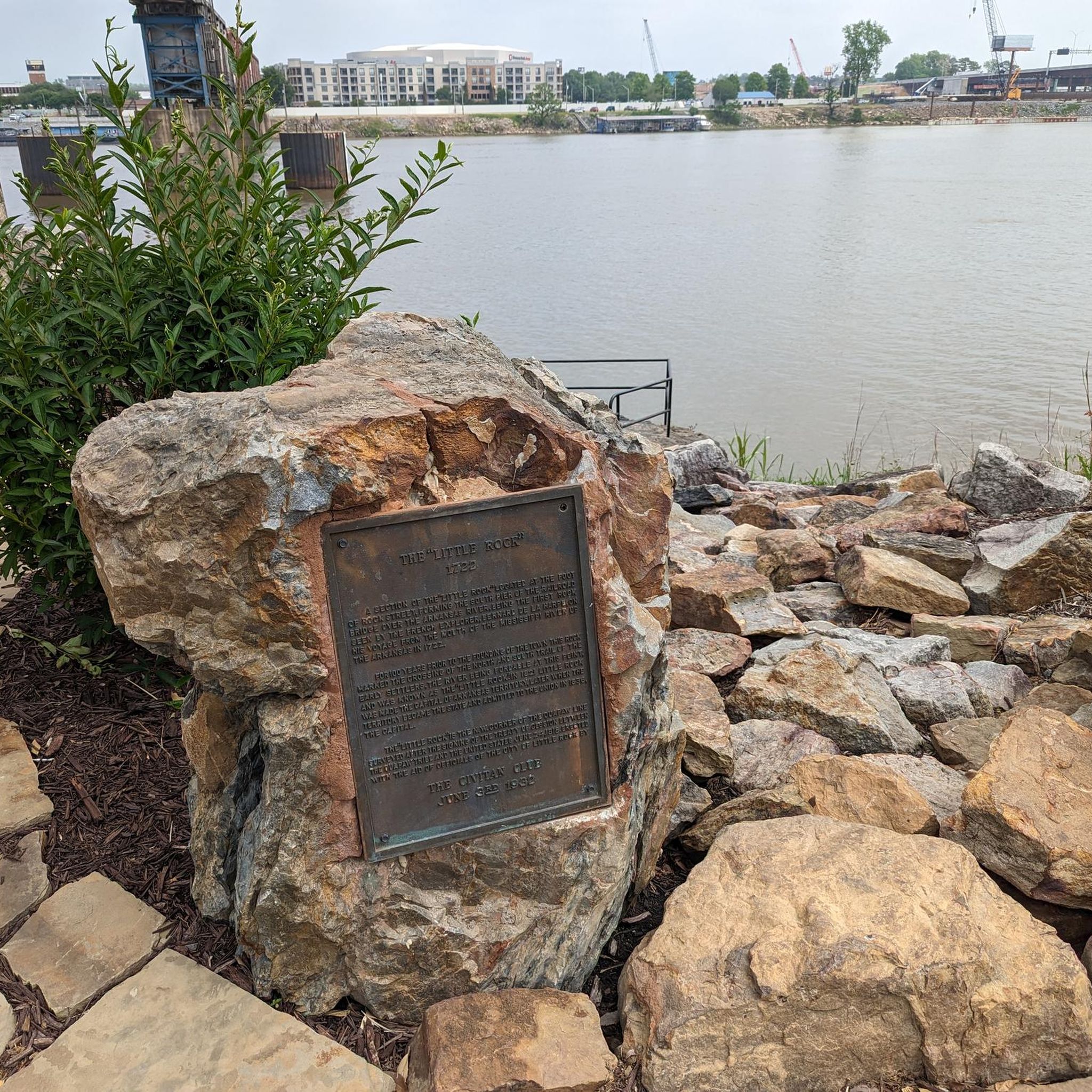

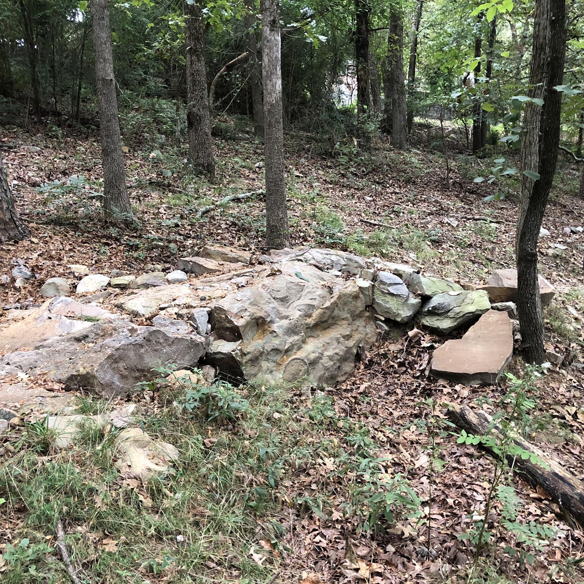
Tips from the Community

Crossing the Riverfront Park is an interesting alternative (3 routes: upper middle and lower) to the busy Prédisent Clinton Avenue. My favorite restaurant: Le Stickyz
0
0

Allsopp Park is divided into two sections, this being the southern section. This portion of the park has 2 miles of paved multi-use trails. The northern portion of the park can be reached via Beechwood Street.
0
0
Allsopp Park is divided into two sections, this being the southern section. This portion of the park has 2 miles of paved multi-use trails. The northern portion of the park can be reached via Beechwood Street.
0
0
Allsopp North Park is the northern half of Allsopp Park in the heart of Little Rock. Visitors must take Beechwood Street to reach the southern counterpart. The North Park has 2.3 miles of paved multi-use trails that form loops throughout the park.
0
0

This park, spanning 39 acres along the Arkansas River in the downtown area, features diverse trails, plazas, fountains, and stunning views throughout. Signs in the area provide information about the city of Little Rock.
0
0
This 8.5-mile river, adorned with large cypress trees, is popular among kayakers and fishers due to its relatively calm waters without rapids. This point is where it meets with the Arkansas River and Murray Lake.
0
0
The Little Maumelle River is an 8.5-mile river that is smooth-flowing and has shallow spots that can be great places for spotting critters. You'll see cypress knobs and you're likely to see waterfowl on your ride.
0
0
Frequently Asked Questions
What kind of terrain can I expect on hiking trails around Little Rock?
Hiking trails around Little Rock are generally characterized by riverine landscapes, expansive parklands, and urban green spaces. The terrain is typically flat to gently rolling, especially along the Arkansas River and its tributaries. Most routes are easy, with minimal elevation gain, making them accessible for various activity levels.
How many hiking trails are available in Little Rock?
There are over 40 hiking trails available in Little Rock. The majority of these, 34 routes, are classified as easy, with an additional 7 moderate routes for those seeking a bit more challenge.
What notable landmarks or features can I see while hiking near Little Rock?
Many trails in Little Rock offer views of the Arkansas River and feature interesting crossings. For example, the Arkansas River Trail via Big Dam Bridge crosses the notable Big Dam Bridge. Other highlights include the Murray Lock and Dam on the Arkansas River and the Two Rivers Park Bridge.
Are the hiking trails in Little Rock suitable for families?
Yes, many hiking trails in Little Rock are very suitable for families. With 34 easy routes available, the flat to gently rolling terrain and parkland settings make them ideal for outings with children. Trails like the Little Maumelle River loop from Two Rivers Park are great options for a family-friendly walk.
Can I bring my dog on the hiking trails in Little Rock?
Most public parks and trails in Little Rock generally welcome dogs, provided they are kept on a leash and owners clean up after them. It's always a good idea to check specific park regulations before heading out, but trails through parklands are typically dog-friendly.
Are there any circular hiking routes in Little Rock?
Yes, Little Rock offers several excellent circular hiking routes. Popular options include the Little Maumelle River – Two Rivers Park Bridge loop from Walton Heights and the Two Rivers Park Bridge loop from The Quarters, both providing scenic loops through riverfront parkland.
Is parking available near the hiking trails in Little Rock?
Parking is generally available at trailheads and park entrances for most hiking areas in Little Rock. For example, routes like the Big Dam Bridge loop from Cook's Landing Arkansas River Boat Launch indicate convenient access points with parking facilities.
What do other hikers enjoy the most about hiking in Little Rock?
The hiking experience in Little Rock is highly rated by the komoot community, with an average score of 4.7 stars from over 15 reviews. Hikers often praise the accessible river valleys, well-maintained parklands, and scenic bridge crossings that define the area's routes.
What is the best time of year to go hiking in Little Rock?
While specific seasonal data isn't provided, the generally mild climate of Little Rock makes hiking enjoyable for much of the year. Spring and fall typically offer the most comfortable temperatures and pleasant scenery, with blooming wildflowers in spring and colorful foliage in autumn. Summer can be hot and humid, while winter is generally mild but can have occasional cold snaps.
Are there any easy hiking trails for beginners in Little Rock?
Absolutely. Little Rock is an excellent destination for beginners, with 34 out of 41 routes classified as easy. These trails typically feature flat terrain and short distances, such as the Arkansas River Trail via Big Dam Bridge, which is an easy 4.5-mile path.
Are there amenities like cafes or restrooms near the hiking trails?
Many hiking trails in Little Rock are located within or near urban parks, which often provide access to restrooms and other facilities. For cafes and other amenities, trails closer to the city center or popular park areas will offer more options for refreshments before or after your hike.
Most popular routes around Little Rock
Most popular attractions around Little Rock

Get inspired with the komoot mobile app


Explore more
Browse the best Hikes in other regions.
