The best running trails around Timberline-Fernwood
117
runners
9
runs
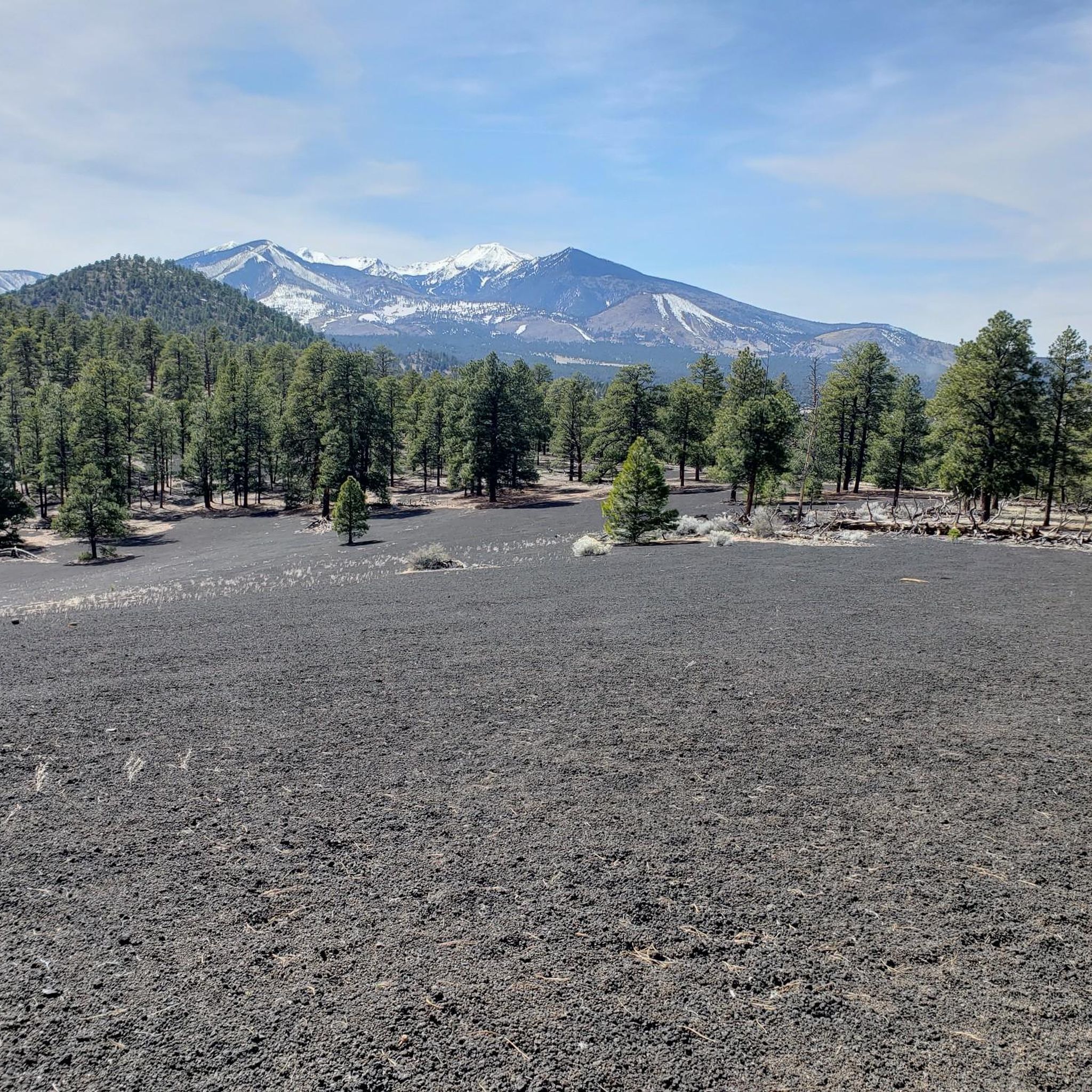
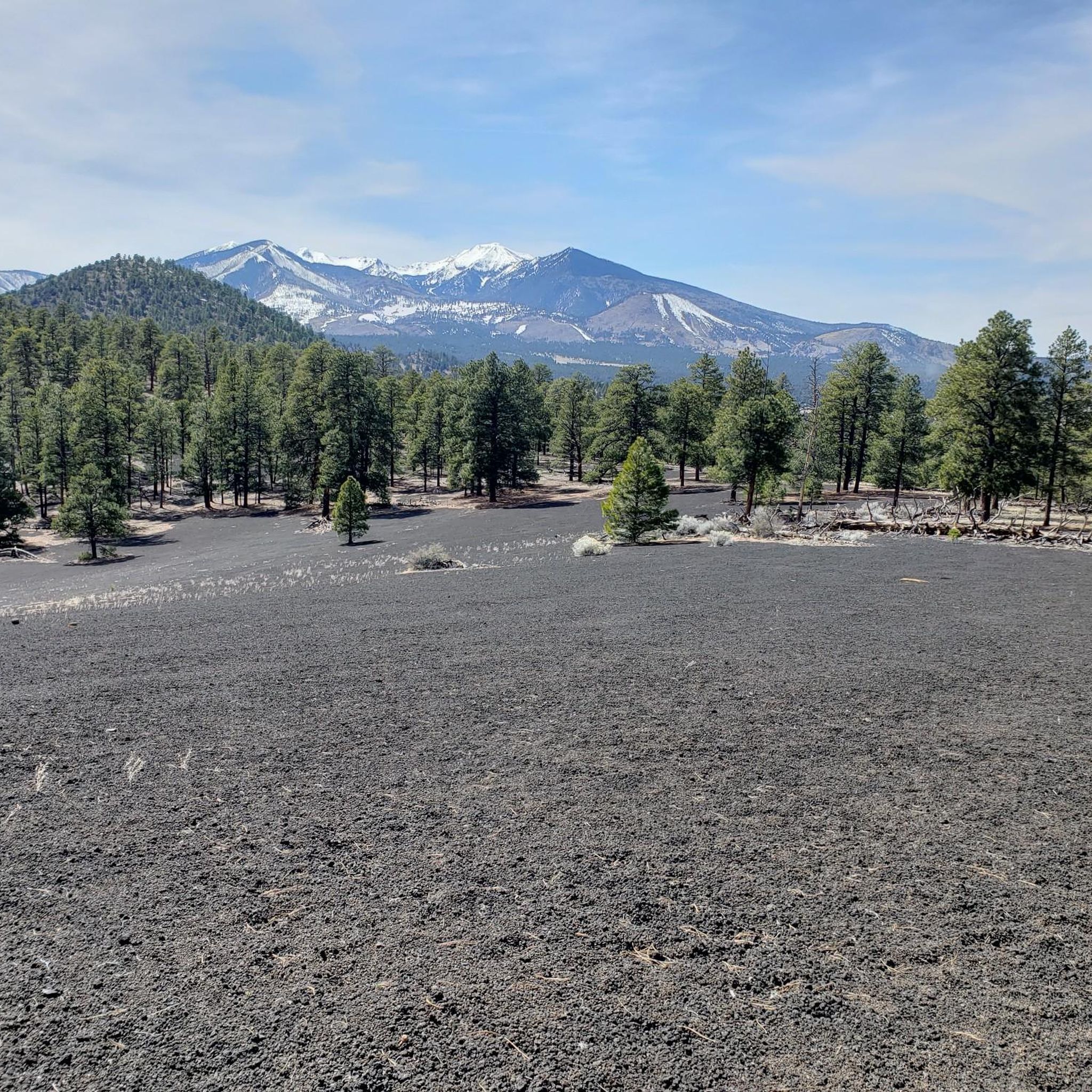
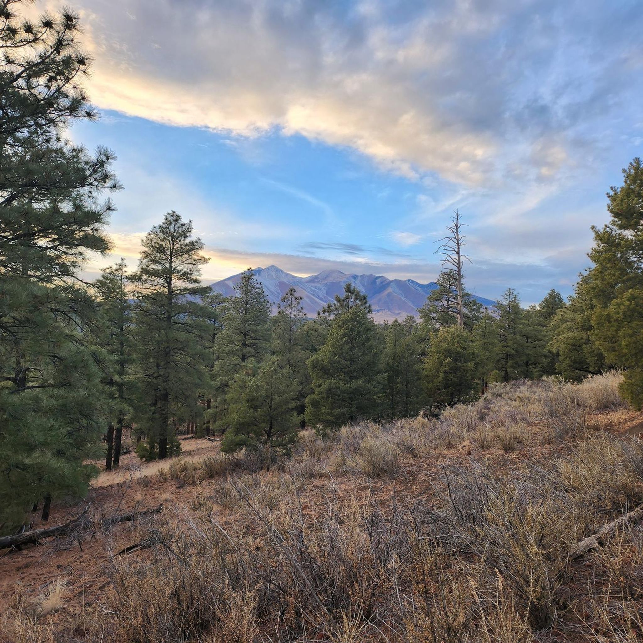
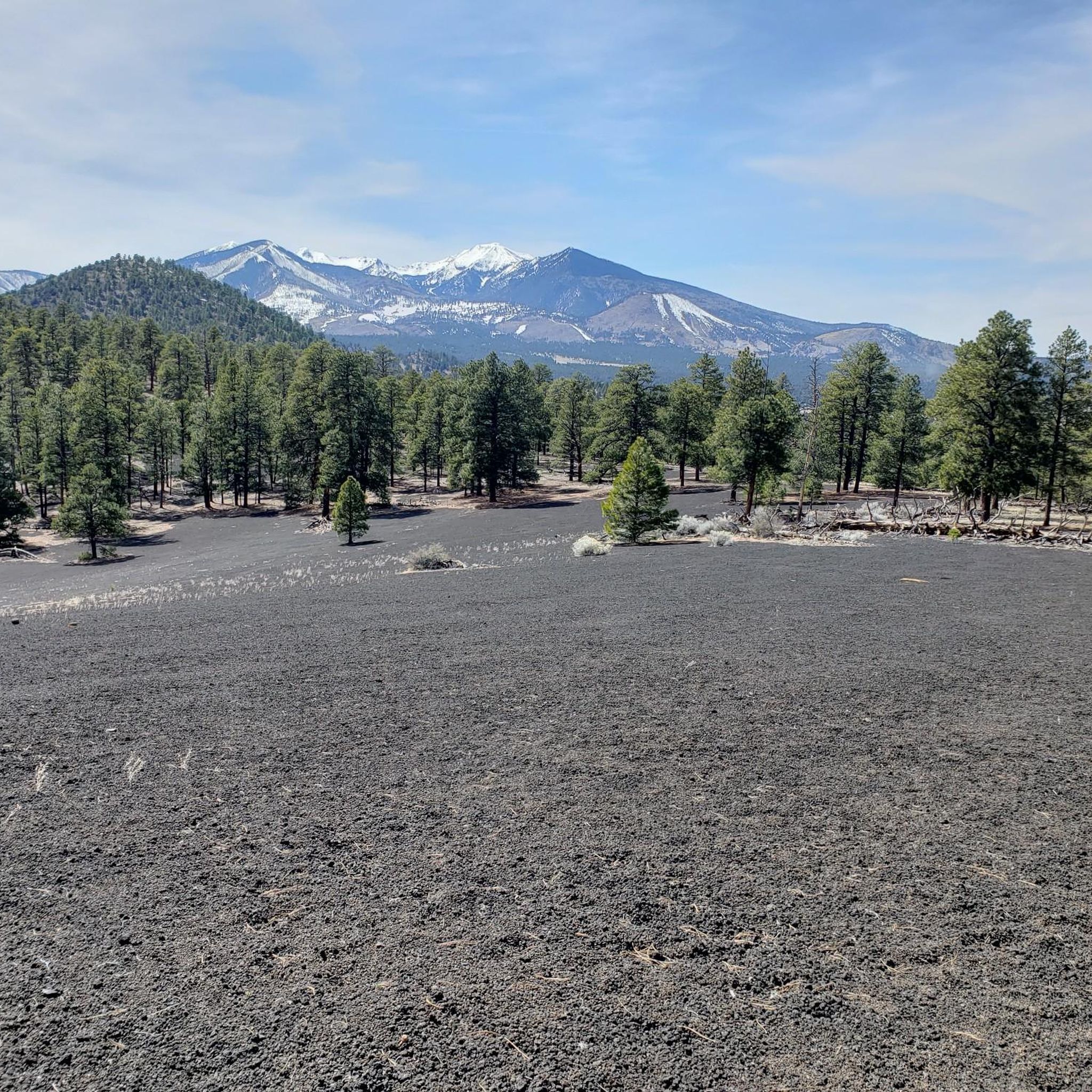
Jogging routes around Timberline-Fernwood traverse a diverse landscape characterized by volcanic terrain, expansive ponderosa pine forests, and picturesque aspen groves. The region is situated within a mountainous area, offering varying elevations and panoramic views. Joggers can experience environments shaped by ancient lava flows, as well as trails winding through dense forests. This blend of natural features provides a unique setting for running.
Best jogging routes around Timberline-Fernwood
- The most popular jogging route is Elden Lookout Trail – Fatman's Rock loop…
Last updated: June 28, 2026
30
runners
10.5km
01:49
720m
720m
Hard run. Very good fitness required. Mostly accessible paths. Some sure footedness required.
16
runners
13.9km
01:40
550m
550m
Hard run. Very good fitness required. Mostly paved surfaces. Suitable for all skill levels.

Sign up for free
7
runners
5.77km
00:46
160m
160m
Moderate run. Good fitness required. Mostly paved surfaces. Suitable for all skill levels.
7
runners
16.8km
02:16
560m
560m
Hard run. Very good fitness required. Mostly accessible paths. Some sure footedness required.
5
runners
Hard run. Very good fitness required. Mostly accessible paths. Some sure footedness required.
Get access to more routes and recommendations from other explorers.
Sign up for free
Already have an account?
Our route recommendations are based on thousands of hikes, rides, and runs completed by other people on komoot.
Start today with a free account
Your next adventure awaits.
Login or Signup
Tips from the Community

Lockett Meadow is an incredible scenic area and has great views of the surrounding mountains. The trail to get up the Locket Meadow is rough in places, but it's worth the effort for the amazing setting.
0
0

Enjoy this mild part of trail that slowly gains elevation and winds across the mountain before you come to the steepest section of trail. Plan to pass through pinyon-juniper woodland sand ponderosa pine forests, as well as shrubbed, rocky areas during your time on this section. The end of this section is also a great place to stop and take a break before you begin the switchbacks up, up, up to Mount Elden or continue onto the Fatman's Loop.
0
0
Fatman's Rock is what gives the trail its name. There are a couple large boulders in the middle of the trail that you have to make your way between. Legend has it that you will get stuck if you are fat; in reality, the gap isn't going to be a tight squeeze for anyone. The rocks make for a pretty cool trail feature, though!
0
0

Check trail conditions before you go—this area can be muddy or snow-covered well into spring. The climb up is steep and challenging, but the views of the Inner Basin are worth it. Be ready for narrow switchbacks, loose rock, and hikers on the trail. A solid set of tires and good brakes make all the difference on the descent.
0
0
Fatman's Rock is what gives the trail its name. There are a couple large boulders in the middle of the trail that you have to make your way between. Legend has it that you will get stuck if you are fat; in reality, the gap isn't going to be a tight squeeze for anyone. The rocks make for a pretty cool trail feature, though!
0
0

With its highest point reaching 9,288 feet, it is a formidable challenge for cyclists. The most popular route, Elden Lookout Road, is a 12.5-mile climb with an elevation gain of over 3,500 feet, testing your endurance and legs. As you ascend, you'll be rewarded with breathtaking panoramic views of the San Francisco Peaks, the city of Flagstaff, and the surrounding valleys, making the effort truly worthwhile.
1
0
The steep trail up Elden Mountain challenges runners with its punishing incline, but those who persevere are rewarded with breathtaking 360-degree views of northern Arizona's landscape from the 9,300-foot summit. Remember to pack plenty of water for a well-deserved break at the top to take in the stunning vistas.
0
0
Fatman's Loop Trail is a less intense hike than heading all the way up to the summit of Elden Mountain, but it still offers great views back towards Flagstaff. The trail splits off from the main summit trail just before the trail gets super steep. There are a bunch of switchbacks on the downhill part of this loop, which helps beat up the legs a little less.
0
0
Frequently Asked Questions
How many running routes are available around Timberline-Fernwood?
There are over 10 dedicated running routes around Timberline-Fernwood, offering a variety of distances and difficulty levels to suit different preferences and fitness levels.
Are there any easy or beginner-friendly jogging paths in the area?
While many routes offer varied terrain, Buffalo Park in Flagstaff is known for its pretty flat and smooth main loop, making it ideal for a more relaxed jog or for beginners. It also provides excellent views of Mount Elden and Mount Humphreys.
What kind of landscapes can I expect to see while jogging near Timberline-Fernwood?
Joggers in Timberline-Fernwood can experience a diverse range of landscapes, including unique volcanic terrain, expansive ponderosa pine forests, and picturesque aspen groves. Routes like the Elden Lookout Trail – Fatman's Rock loop from Flagstaff Mall offer varied scenery, while areas around Sunset Crater feature distinct red and black lava formations.
Are there any circular running routes available?
Yes, many of the running routes around Timberline-Fernwood are circular. For example, the Waterbird Petroglyphs loop from Wildcat Hill is a moderate 3.4-mile path that winds through natural landscapes, providing a scenic loop experience.
What are some scenic viewpoints or landmarks I can find along the running trails?
The region boasts several scenic spots. You can find 360-degree views from the Elden Mountain Lookout Tower, which is part of the Elden Mountain Lookout Tower loop from Dry Lake Hills. Other notable natural features include Humphreys Peak and the unique volcanic landscape of Sunset Crater.
Are there any longer, more challenging running routes for experienced runners?
Absolutely. For those seeking a challenge, the O'Leary Peak loop from Timberline-Fernwood is a difficult 9.8-mile route with significant elevation gain, offering a rigorous workout and rewarding views.
What do other runners enjoy most about the trails in Timberline-Fernwood?
Runners often praise the diverse terrain, from volcanic landscapes to dense forests, and the varying elevations that provide both challenging ascents and panoramic views. The accessibility of trails for all levels, from moderate paths to strenuous climbs, is also highly valued.
Are there any running routes that pass by interesting natural monuments?
Yes, the area is rich in natural monuments. The Lava Flow Trail at Sunset Crater Volcano National Monument offers an easy to moderate route directly through a visually striking volcanic landscape. You can also find trails leading towards Humphreys Peak, Arizona's highest mountain.
Can I find running routes that are less crowded?
While popular spots like Buffalo Park can see more activity, many trails winding through the Coconino National Forest, such as those accessible via Schultz Pass, offer a more secluded experience. Exploring routes slightly further from central Flagstaff can also lead to quieter paths.
Are there any running routes suitable for families?
For families or those looking for a less strenuous option, Buffalo Park in Flagstaff provides a relatively flat and smooth main loop that is very accessible. The Lava Flow Trail at Sunset Crater Volcano National Monument is also an easy to moderate option with unique scenery that can be enjoyed by families.
What is the typical duration for a running route in this region?
Running route durations vary significantly. Shorter, moderate paths like the Elden Lookout Trail – Fatman's Rock loop from Flagstaff Mall can take around 35 minutes, while longer, more difficult routes such as the Waterbird Petroglyphs loop from Doney Park might take closer to 1 hour 20 minutes or more, depending on your pace and the specific trail's elevation changes.
Most popular attractions around Timberline-Fernwood

Get inspired with the komoot mobile app


Explore more
Browse the best Running Trails & Routes in other regions.
