The best walks and hikes around Ornumer Noor
4.6
(5094)
20,983
hikers
468
hikes
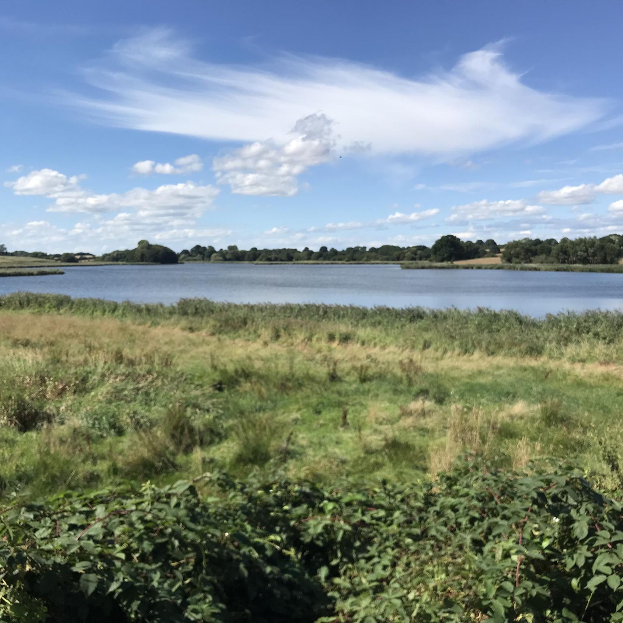
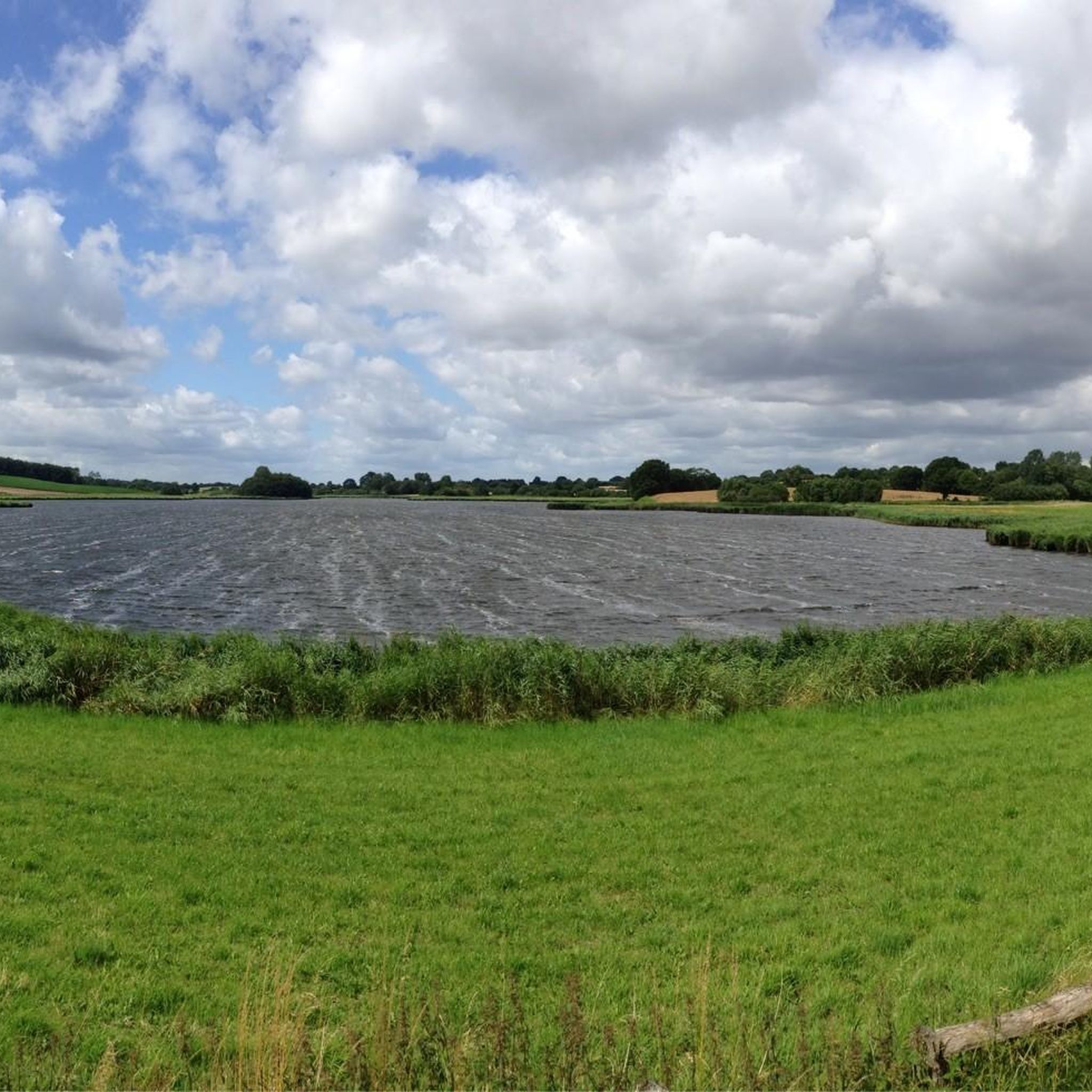
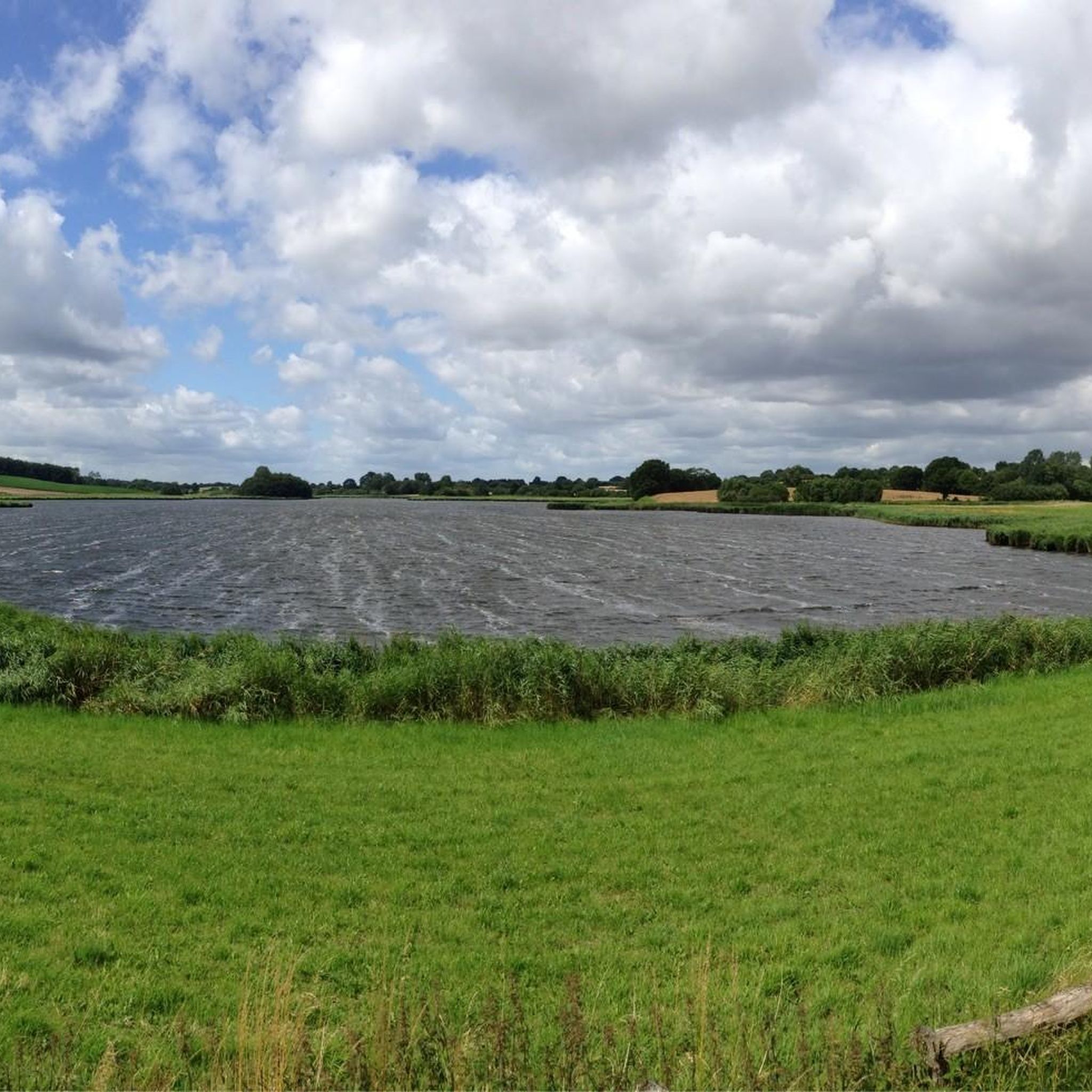
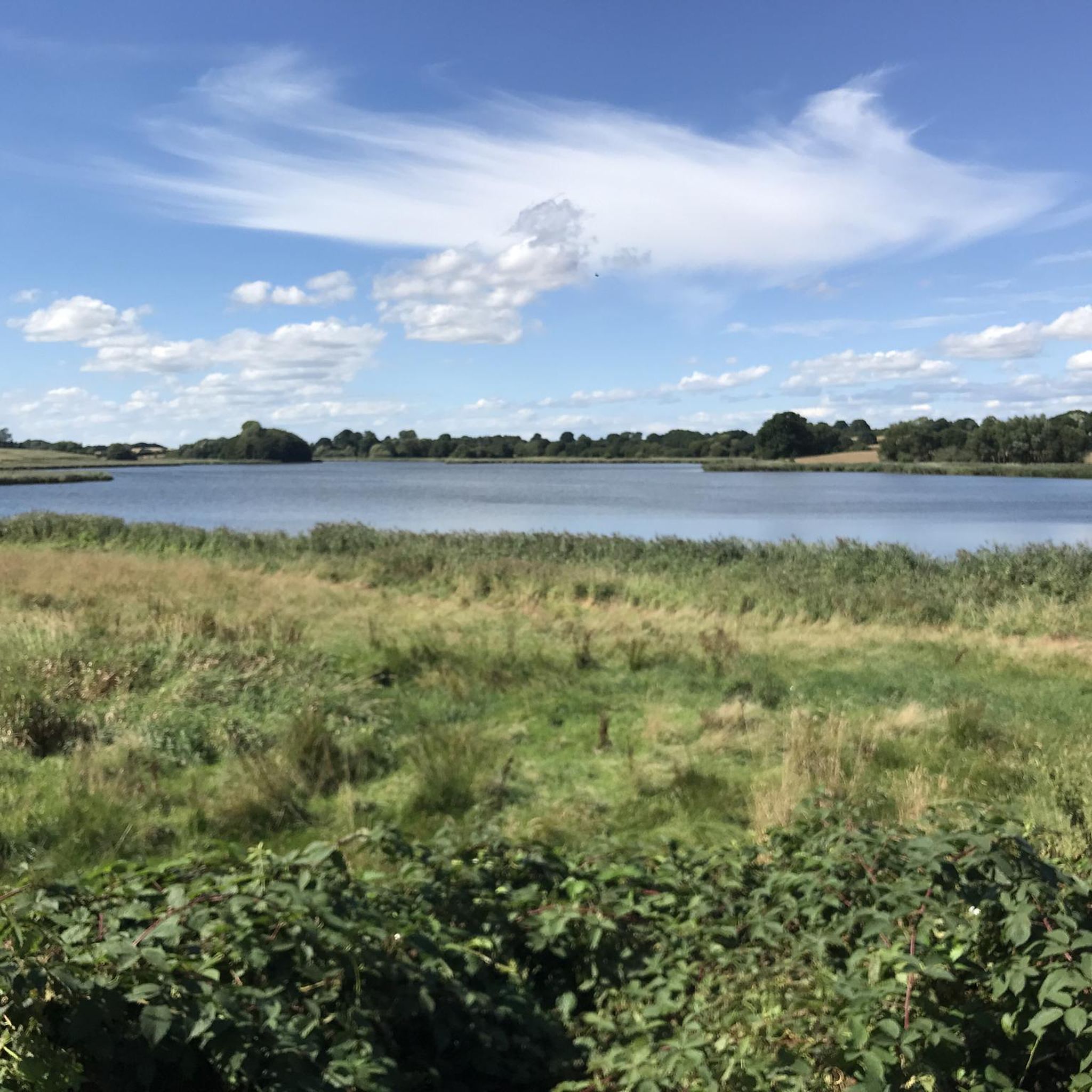
Hiking around Ornumer Noor, located in Schleswig-Holstein, Germany, is characterized by its proximity to the Schlei fjord, offering a landscape of gentle hills and coastal paths. The region features a mix of open fields, small woodlands, and trails along the water's edge. The terrain generally presents low elevation changes, making it suitable for varied hiking abilities.
Best hiking trails around Ornumer Noor
- The most popular hiking route is Hiking loop from Bohnert, a 3.2 miles (5.1 km) trail that…
Last updated: June 23, 2026
4.9
(9)
49
hikers
5.11km
01:21
50m
50m
Easy hike. Great for any fitness level. Easily-accessible paths. Suitable for all skill levels.
5.0
(1)
15
hikers
18.3km
04:45
100m
100m
Moderate hike. Good fitness required. Easily-accessible paths. Suitable for all skill levels.

Sign up for free
4.6
(10)
54
hikers
Easy hike. Great for any fitness level. Easily-accessible paths. Suitable for all skill levels.
4.7
(21)
80
hikers
Easy hike. Great for any fitness level. Easily-accessible paths. Suitable for all skill levels.
4.8
(5)
15
hikers
Moderate hike. Good fitness required. Easily-accessible paths. Suitable for all skill levels.
Get access to more routes and recommendations from other explorers.
Sign up for free
Already have an account?
Our route recommendations are based on thousands of hikes, rides, and runs completed by other people on komoot.
Start today with a free account
Your next adventure awaits.
Login or Signup

Tips from the Community

Large boulder under an oak tree with the inscription >Goltoft 1986<
0
0

By the way, the farm is called Bluschke. https://www.hof-bluschke.de/
1
0

Great campsite right on the Schlei.
0
0

Such a shame...I would have loved to stop by for a cup of coffee 👍🌞 If anyone knows anything about when it will reopen, please post...
0
0

A peaceful hike through wooded areas and fields. The paths were well-paved at the time (June 14, 2025).
0
0

beautiful view of the island of Kieholm
0
0

It was a magical place to spend the night between two hiking stages—in a hotel room shaped like a circus wagon. Plus, an excellent dinner and breakfast in very pleasant company, all in a warm and friendly atmosphere.
0
0

The machine is currently out of service. As of October 4, 2024
1
1
Frequently Asked Questions
How many hiking trails are available around Ornumer Noor?
There are over 470 hiking routes available around Ornumer Noor, offering a wide range of options for different preferences and skill levels. You can find everything from easy strolls to more moderate, longer paths.
What kind of terrain can I expect on hikes around Ornumer Noor?
Hikes around Ornumer Noor are characterized by gentle hills and coastal paths along the Schlei fjord. The terrain features a mix of open fields, small woodlands, and trails directly along the water's edge. Elevation changes are generally low, making the routes accessible for various hiking abilities.
Are there any scenic viewpoints or natural features to look out for?
Yes, many trails offer beautiful views of the Schlei fjord. For example, the View of the Schlei – View of the Schlei Near Knös loop from Brodersby-Goltoft provides excellent vistas over the water. You'll also encounter small forested sections and open landscapes typical of the Schleswig-Holstein region.
Are there family-friendly hiking options in Ornumer Noor?
Absolutely. The region's low elevation changes and varied terrain make it suitable for families. Many of the 300+ easy routes are perfect for outings with children. An example is the Hiking loop from Bohnert, which is an easy 3.2-mile (5.1 km) trail.
Can I bring my dog on the hiking trails in Ornumer Noor?
While specific regulations can vary, generally, dogs are welcome on most hiking trails in the Ornumer Noor area, especially on paths through open fields and woodlands. It's always recommended to keep dogs on a leash, especially near livestock or in nature protection areas, and to clean up after them.
Are there circular hiking routes available?
Yes, many of the popular routes around Ornumer Noor are circular, allowing you to start and end at the same point. Examples include the easy Hiking loop from Bohnert and the moderate Small beach on the Schlei – Schlei Lakeside Trail loop from Bohnert.
What is the best time of year to go hiking in Ornumer Noor?
The mild and humid climate of the region makes it pleasant for hiking for much of the year. Spring and summer offer lush green landscapes and warmer temperatures, ideal for enjoying the lakeside paths. Autumn brings beautiful colors to the small woodlands. Even in winter, with appropriate gear, the low elevation changes can make for enjoyable, crisp walks.
Where can I find parking for hiking trails in Ornumer Noor?
Parking is generally available at common starting points for trails, particularly in and around the villages like Bohnert and Brodersby-Goltoft. Look for designated parking areas near trailheads or local community centers. Specific parking information is often detailed on individual route pages on komoot.
Is public transport available to access hiking trails in Ornumer Noor?
Public transport options, primarily local bus services, connect the smaller villages in the Ornumer Noor area. While not all trailheads may be directly accessible, many are within a reasonable walking distance from bus stops. Checking local bus schedules in advance is advisable for planning your trip.
Are there any cafes or restaurants near the hiking routes?
Yes, you'll find cafes and restaurants in the villages surrounding Ornumer Noor, such as Bohnert and Brodersby-Goltoft. These establishments offer opportunities for refreshments and meals before or after your hike, often with views of the Schlei or the charming local countryside.
What do other hikers say about the trails in Ornumer Noor?
The trails in Ornumer Noor are highly rated by the komoot community, with an impressive average score of 4.6 stars from nearly 4,800 reviews. Hikers often praise the peaceful lakeside paths, the gentle terrain, and the scenic views over the Schlei, making it a popular destination for nature lovers.
Are there any less crowded hiking options for a peaceful experience?
While popular routes can see more visitors, the extensive network of over 470 trails means you can often find quieter paths, especially during off-peak hours or by exploring some of the less-trafficked routes further from the main villages. Look for trails that venture deeper into the open fields or smaller woodlands for a more secluded experience.
Are permits required for hiking in Ornumer Noor?
No, hiking permits are generally not required for accessing the public hiking trails in the Ornumer Noor region. You are free to explore the paths and enjoy the natural beauty of the area without special permissions.
Most popular routes around Ornumer Noor

Get inspired with the komoot mobile app


Explore more
Browse the best Hikes in other regions.
