The best walks and hikes around Dobersdorfer Lake
4.5
(5301)
20,368
hikers
15
hikes
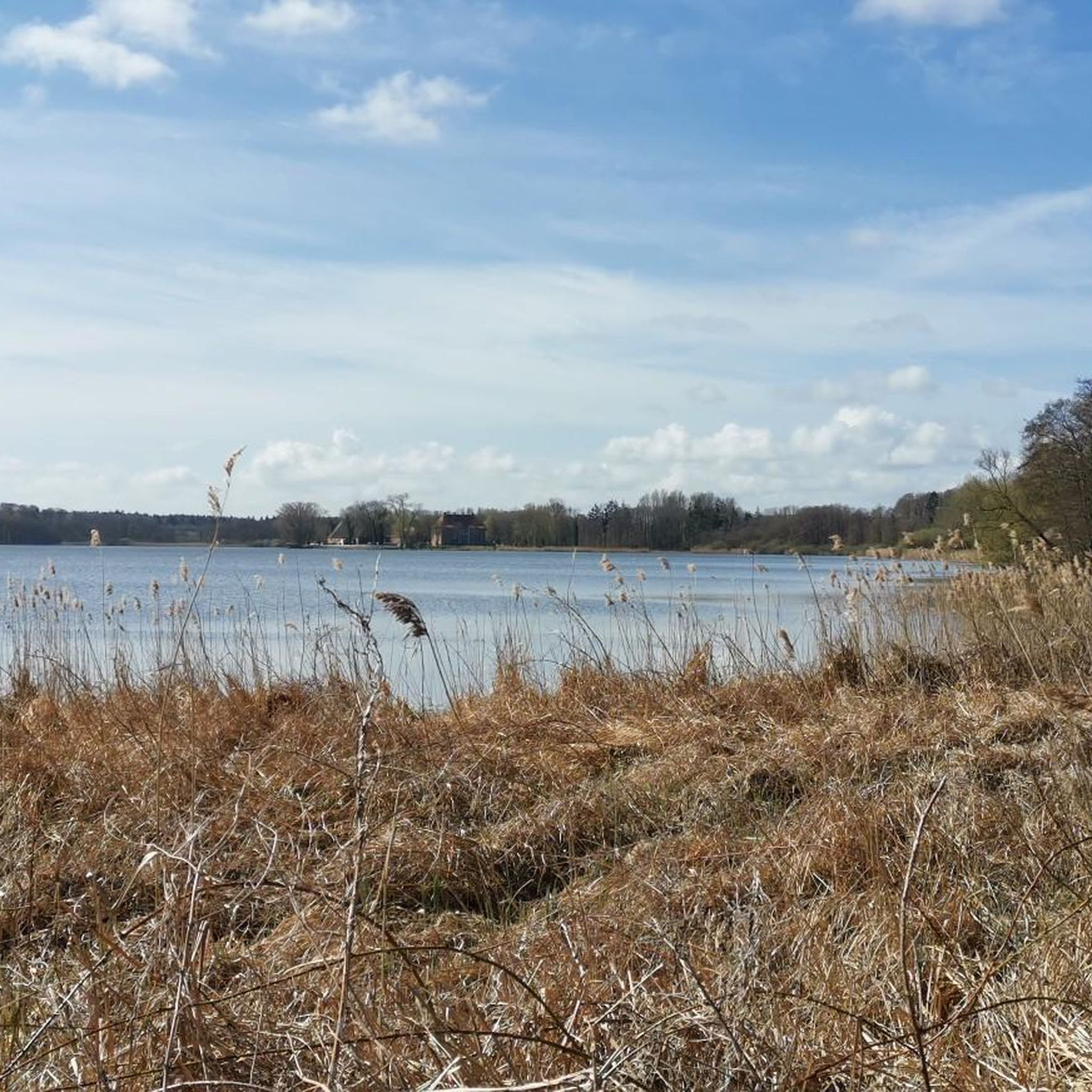
Hiking around Dobersdorfer Lake offers diverse landscapes, including the lake itself which covers 312 hectares. The region features extensive protected natural areas, such as a bird sanctuary and a fauna-flora habitat, contributing to its rich biodiversity. Hikers can expect to traverse a varied terrain of forests and open fields, with reedbeds and diverse shore areas around the lake. The landscape is characterized by gentle elevations, making it accessible for various hiking experiences.
Best hiking trails around Dobersdorfer Lake
- The most…
Last updated: July 5, 2026
4.6
(164)
513
hikers
11.8km
03:02
50m
50m
Moderate hike. Good fitness required. Easily-accessible paths. Suitable for all skill levels.
4.8
(8)
29
hikers
Easy hike. Great for any fitness level. Easily-accessible paths. Suitable for all skill levels.

Sign up for free
5.0
(2)
12
hikers
5.04km
01:17
20m
20m
Easy hike. Great for any fitness level. Easily-accessible paths. Suitable for all skill levels.
3.5
(2)
5
hikers
4.70km
01:13
30m
30m
Easy hike. Great for any fitness level. Easily-accessible paths. Suitable for all skill levels.
5.0
(21)
12
hikers
Easy hike. Great for any fitness level. Easily-accessible paths. Suitable for all skill levels.
Get access to more routes and recommendations from other explorers.
Sign up for free
Already have an account?
Our route recommendations are based on thousands of hikes, rides, and runs completed by other people on komoot.
Start today with a free account
Your next adventure awaits.
Login or Signup
Tips from the Community

The year 1304 refers to the first documented mention of the village. In 2004, its 700th anniversary was celebrated. Interesting is the combination of the village anniversary and the memorial stone: The stone not only commemorates the long history of the place but also explicitly remembers the deceased and fallen members of the community — presumably, in particular, the victims of the World Wars. Such erratic boulders are often found in Schleswig-Holstein in central village squares or near churches and are considered local places of remembrance. The coat of arms on the stone shows the historic schoolhouse of Schlesen above stylized water waves. The motif refers to the location of the community in the lake-rich landscape around the Passader See and the Hagener Au.
0
0
The text on the sign describes the historical ice cellar, which belonged to the Salzau estate and, according to older villagers, was still used until the 1920s. Afterwards, it was temporarily used as a rubbish dump and was filled in at the beginning of the 1960s. It was only in 1997 that the facility was uncovered again through a village beautification project. Particularly interesting: * Ice cellars were previously used for storing natural ice. * The ice was sawn from lakes and ponds in winter. * In summer, it was used to cool meat, beer, and other foodstuffs. * The Silesian ice cellar was built in a funnel shape into the ground. * Above it was a conical thatched roof. * Access was via a north-facing annex with a double door as a "cold lock". * Additionally, the facility was shaded by trees. The sign also explains that ice cellars fell into disuse after the introduction of electric refrigerators, fell into disrepair, and were filled in in many places. The drawing at the bottom right is also exciting: it shows a schematic longitudinal section of the ice cellar with an outer and inner stone ring and the actual shaft.
0
0
The Seebrook spring is a small, idyllic spot near Salzau Castle and is reminiscent of the water-rich landscape of Probstei. Nestled between old trees and well-kept green spaces, iron-rich spring water emerges here, giving the well its typical reddish hue. The spring is considered a regional landmark and, with its quiet location, invites you to take a short break on your tour. Especially on warm days, the place with the babbling water and the large willow tree feels almost like a hidden little natural garden.
0
0

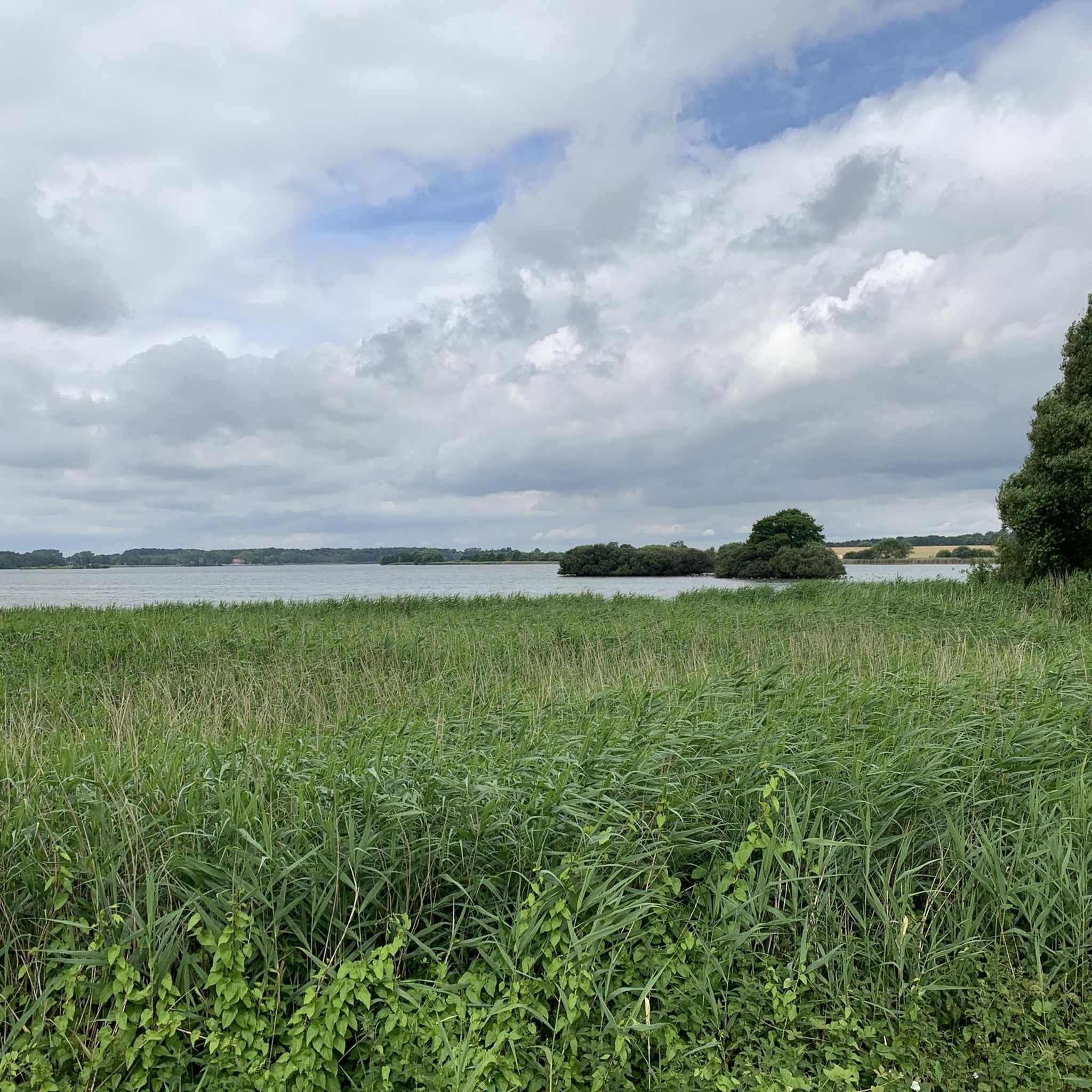
Incidentally, if it weren't for the large, yellow sign pointing to an archaeological monument, you would simply walk right past it. You see nothing but a bend in the path and a trail through the bushes with a small side path and a view of the lake.
1
0
On the southern shore of Lake Dobersdorf, in the Jasdorf district, lie the remains of a medieval motte-and-bailey castle. The mound, approximately 30 meters wide and 5 meters high, was originally surrounded by a ditch and rampart. During World War II, the northern section was significantly altered by a bomb hit and subsequent earthworks; the ditch there has now been widened into a pond. So says the information panel, but there's no sign of it! The site is dated to the 13th-14th century and has been a protected historical monument since 1968.
1
0
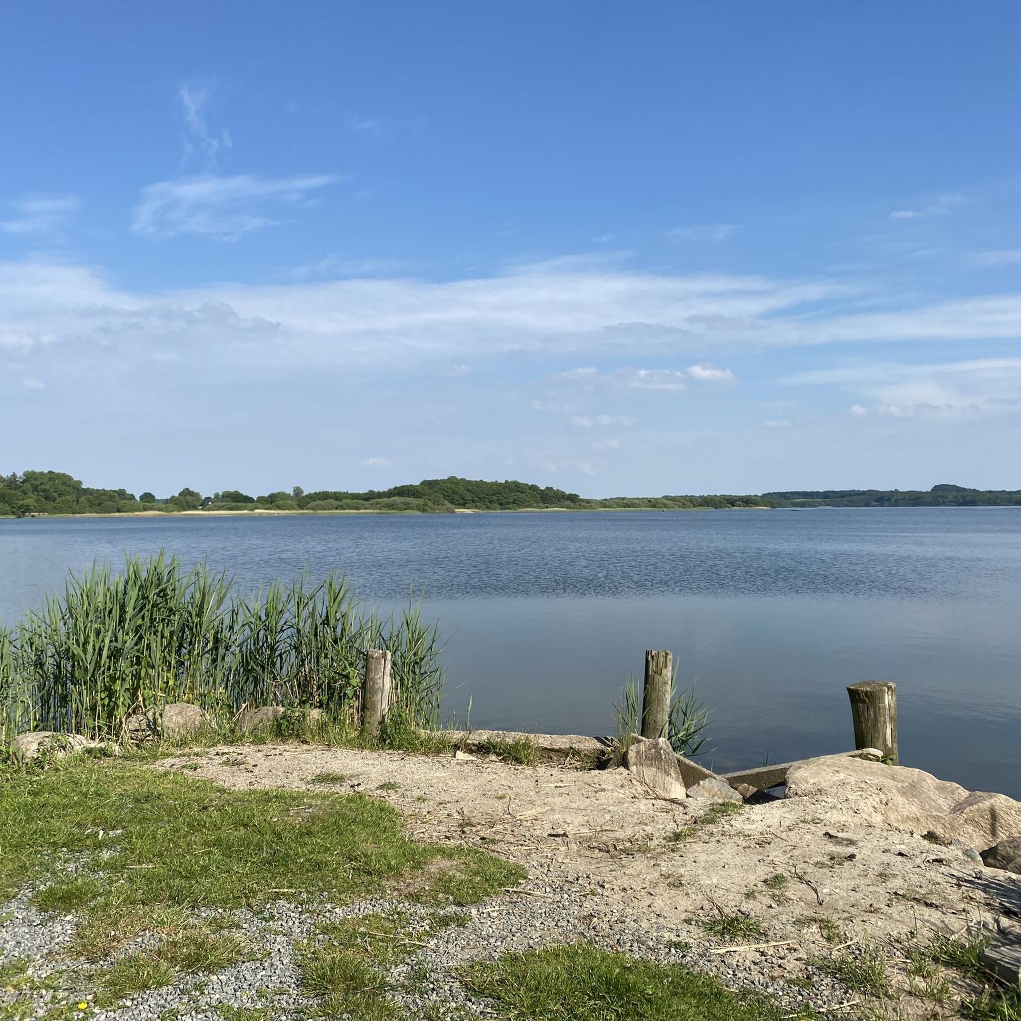
Here is a small, shady access point to the lake. There are several really nice swimming spots elsewhere on the lake.
1
1
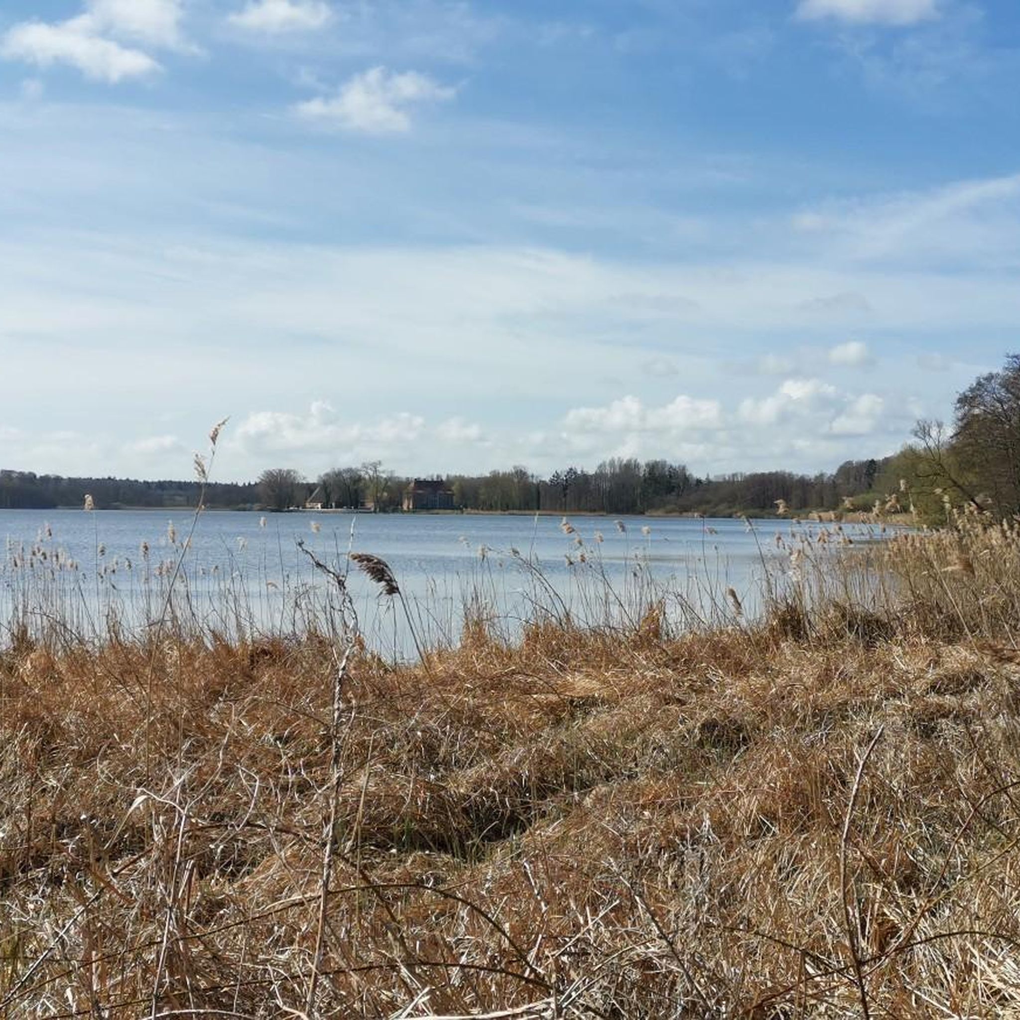
The village street is situated on a slight rise, so from here you have a great view across the lake towards the west.
1
0

Swimming spots and opportunities to rest give you additional enjoyment with peace and serenity 😊...
1
0
Frequently Asked Questions
How many hiking trails are available around Dobersdorfer Lake?
There are 16 hiking trails around Dobersdorfer Lake, offering a variety of experiences for different skill levels. These include 8 easy routes, 7 moderate routes, and 1 difficult trail.
Are there any easy hikes suitable for beginners or families around Dobersdorfer Lake?
Yes, Dobersdorfer Lake offers 8 easy hiking routes. A great option for families or beginners is the Ice Cellar of Schlesen – Path Through the Fields loop from Schlesen, an easy 6.0 km path that takes you through open fields and past historical points of interest like an old ice cellar.
What kind of natural features can I expect to see while hiking around Dobersdorfer Lake?
The region is rich in natural beauty, featuring extensive protected areas like a bird sanctuary and the Dürrfelder and Sulzheimer Wald fauna-flora habitat. You'll encounter diverse landscapes, from reedbeds and varied shorelines around the lake to a mix of forests and open fields. Keep an eye out for local wildlife, especially birds, given the presence of the bird sanctuary.
Are there any circular hiking routes around Dobersdorfer Lake?
Many of the trails around Dobersdorfer Lake are circular loops, perfect for starting and ending at the same point. For example, the View of the Lake with Bench – Lake Dobersdorf loop from Schlesen is a moderate 11.8 km circular trail offering expansive lake views.
What are some interesting sights or landmarks to explore along the hiking trails?
Beyond the natural beauty, you can discover several points of interest. The region features an old ice cellar, and the remains of a motte-and-bailey castle on the southern shore in Jarsdorf. You might also spot the Dobersdorf Utility Box Murals at the Bathing Area, which depict local motifs like sea eagles. The Dobersdorfer See Lakeside Recreation Area is also a popular spot.
What do other hikers say about the trails around Dobersdorfer Lake?
The trails around Dobersdorfer Lake are highly rated by the komoot community, with an average score of 4.4 stars from over 2,600 reviews. Hikers often praise the diverse terrain, the beautiful lake views, and the well-maintained paths that cater to various skill levels.
Are the hiking trails around Dobersdorfer Lake suitable for dogs?
Many trails around Dobersdorfer Lake are suitable for dogs, allowing you to enjoy the natural surroundings with your canine companion. However, as the area includes protected zones like a bird sanctuary, it's important to keep dogs on a leash and respect local regulations to protect wildlife and the environment.
When is the best time of year to go hiking around Dobersdorfer Lake?
The spring and summer months are particularly pleasant for hiking around Dobersdorfer Lake, offering lush greenery and active wildlife. The region's diverse landscapes, including forests and open fields, also make it appealing in autumn with changing foliage. Winter hiking is possible, but conditions may vary, so it's always best to check local weather forecasts.
Are there any viewpoints offering scenic vistas of Dobersdorfer Lake?
Yes, several trails offer excellent viewpoints of the lake. The View of the Lake with Bench – Lake Dobersdorf loop from Schlesen is specifically known for its expansive lake views. You can also find a dedicated Rest Spot With Lake View, perfect for taking in the scenery.
Are there places to eat or get refreshments near the hiking trails?
While specific cafes directly on every trail might be limited, the villages and towns surrounding Dobersdorfer Lake, such as Schlesen, offer options for gastronomy and refreshments. It's advisable to check local establishments for opening hours before your hike.
Is there parking available for hikers at Dobersdorfer Lake?
Yes, parking facilities are generally available in the vicinity of popular trailheads and recreational areas around Dobersdorfer Lake, particularly in villages like Schlesen. It's recommended to check specific starting points for designated parking areas before your visit.
Can I reach the hiking trails around Dobersdorfer Lake using public transport?
Public transport options to reach the Dobersdorfer Lake area are available, connecting from larger towns. However, direct access to all trailheads might be limited. It's best to research local bus schedules and routes to plan your journey to the starting points of your chosen hikes.
Most popular routes around Dobersdorfer Lake
Most popular attractions around Dobersdorfer Lake

Get inspired with the komoot mobile app


Explore more
Browse the best Hikes in other regions.
