The best walks and hikes around Kleindale
4.8
(23)
573
hikers
42
hikes
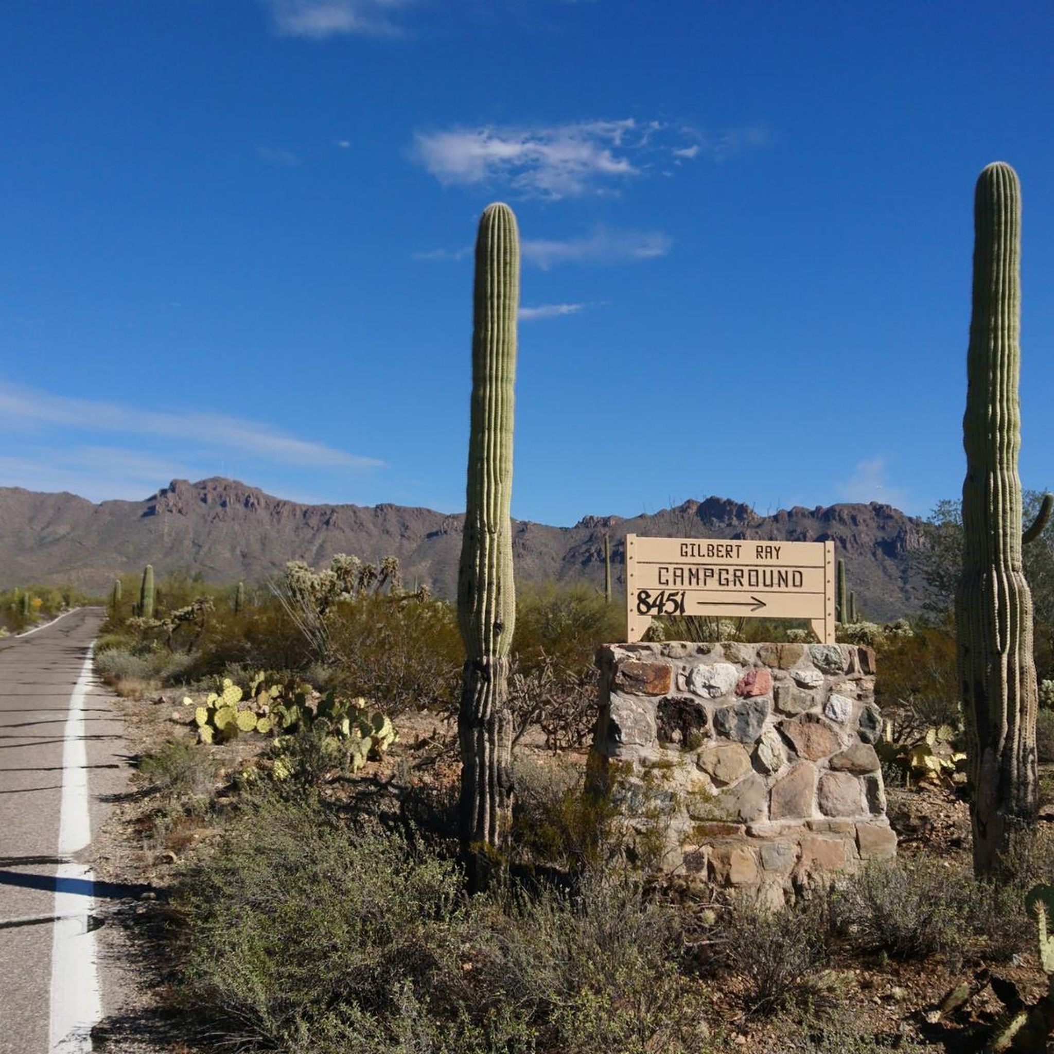
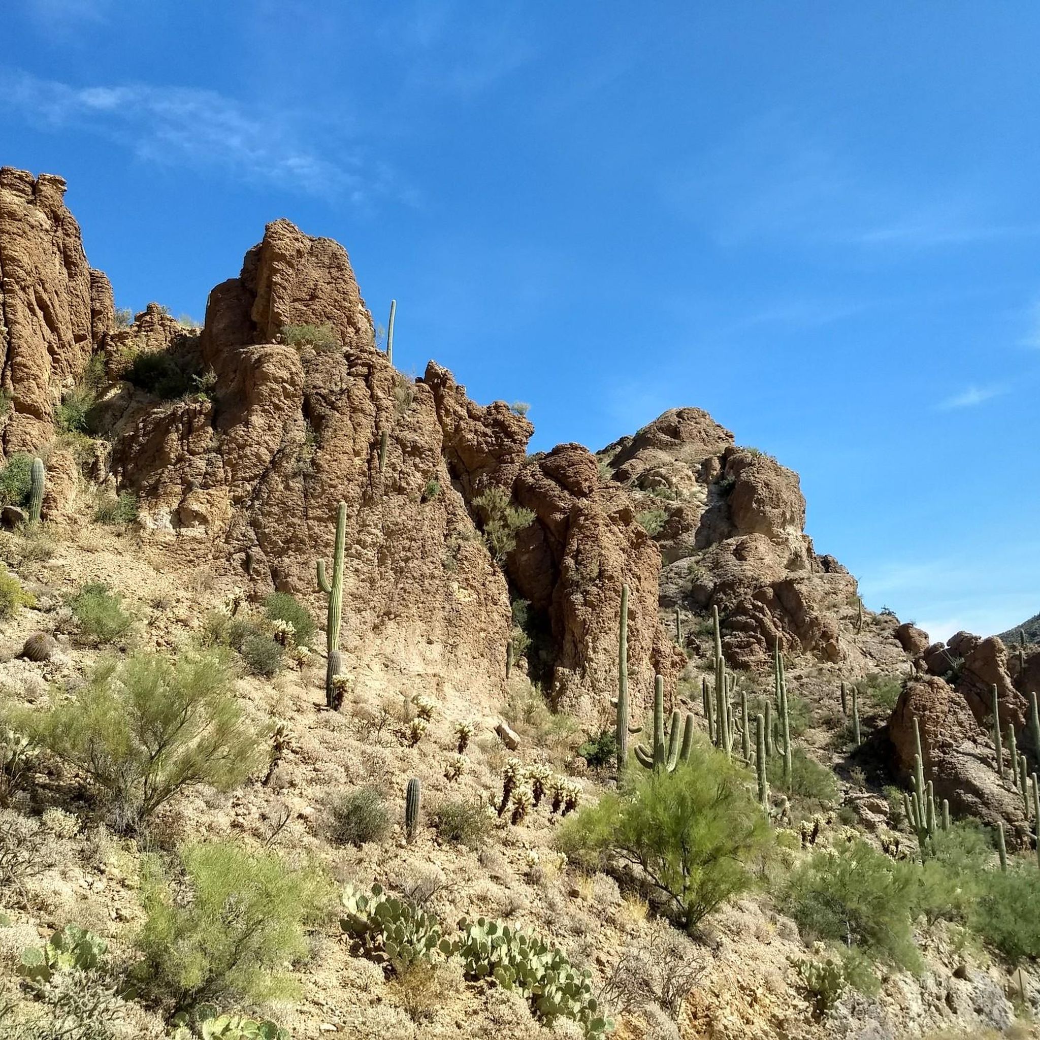
Hiking trails around Kleindale are situated within Tucson, Arizona, characterized by a distinctive Sonoran Desert landscape. The region features iconic saguaro cacti and views of the Santa Catalina, Rincon, and Tucson Mountains. This diverse terrain offers a mix of flat desert paths and more challenging mountain trails.
Best hiking trails around Kleindale
- The most popular hiking route is Rillito River Park Trail, a 1.8 miles (2.8 km) trail that takes 43 minutes to complete. This is an easy route with minimal elevation gain.
- Another top favourite among local hikers is Fort Lowell Park and Bike Path, an easy 4.1 miles (6.6 km) path. The trail features a mix of park and bike path terrain.
- Local hikers also love the The Loop, a 222.9 miles (358.8 km) trail leading through varied landscapes, often completed in about 91 hours 24 minutes.
- Hiking around Kleindale is defined by Sonoran Desert scenery, prominent mountain backdrops, and multi-use paths. The trail network provides options for different ability levels, from easy walks to more difficult hikes.
- The routes in Kleindale are highly rated by the komoot community with an average score of 4.8 stars from over 40 reviews. More than 700 hikers have used komoot to explore Kleindale's varied terrain.
Last updated: August 11, 2026
1
hikers
2.85km
00:43
0m
10m
The Rillito River Park Trail offers a delightful and easy escape into Tucson's unique desert environment, perfect for a relaxed outing. You'll wander along a path that blends paved and packed-earth sections, often paralleling the Rillito River, which, though typically dry, supports an ecological corridor. Enjoy views of the Santa Catalina Mountains in the distance and discover an impressive collection of public art, including murals and sculptures, that turn the route into an open-air gallery.
Planning your visit to the Rillito River Park Trail is straightforward, with multiple access points and ample amenities. You'll find convenient parking, restrooms, drinking fountains, and shaded picnic areas along the route, making it a comfortable experience for families and individuals alike. The trail is accessible year-round, but consider an early morning or evening stroll to enjoy cooler temperatures and potentially spot more wildlife.
This trail is a key segment of the Chuck Huckelberry Loop, a nationally recognized network of multi-use paths that spans over 136 miles across Tucson and Pima County. Its flat terrain, minimal 4 feet (1 metre) elevation gain over 1.8 miles (2.8 km), and easy difficulty make it a fantastic option for a quick 43-minute walk, especially if you're looking for a family-friendly or dog-friendly hike with plenty of scenic viewpoints and interesting landmarks.
6.58km
01:41
30m
10m
The Fort Lowell Park and Bike Path offers a delightful blend of urban parkland and historical exploration, perfect for a relaxed outing. You'll wander through shaded areas with mature trees, past a serene duck and turtle pond, and along sections of paved and dirt paths. The route takes you through a historic preservation district, where you can imagine life in the late 1800s, making it a unique experience for those who appreciate both nature and history.
This easy 4.1-mile (6.6 km) hike, with a gentle 107 feet (33 metres) of elevation gain, can be completed in about 1 hour and 41 minutes. While much of it is tranquil, be prepared for a short half-mile stretch along Fort Lowell Road where you'll share the space with car traffic. The park offers convenient trailhead parking, making it an accessible option for a quick escape into nature and history.
What truly sets this trail apart is its deep historical roots, tracing back to a native Hohokam settlement from the 6th century and the territorial fort from the Apache Wars era. You'll encounter numerous historical stops, including the Fort Lowell Post hospital and the restored San Pedro Chapel, offering a tangible connection to Tucson's past. It's a fantastic way to combine a pleasant walk with a journey through local heritage.

Sign up for free
359km
91:24
1,100m
1,040m
The Loop in Tucson offers a unique long-distance hiking experience, primarily on a paved multi-use path that winds through the city's diverse landscapes. While it might not be a traditional wilderness trail, it provides continuous new scenery, connecting urban areas with natural river parkways like the Julian Wash Greenway. You'll encounter landmarks such as the MSA Annex Market and enjoy views towards 'A' Mountain, making it a journey through the heart of Tucson.
This difficult route spans an impressive 223.0 miles (358.8 km) with 3616 feet (1102 metres) of elevation gain, requiring an estimated 91 hours and 23 minutes to complete. Given its length, you'll need to plan your access points and consider the best time to visit; early mornings are often ideal to avoid the desert heat. Parking is available at various points along the route, making it flexible for section hiking or multi-day adventures.
What makes The Loop notable is its accessibility and the continuous journey it offers without backtracking, a significant advantage for long-distance walkers. It's an integral part of Tucson's larger trail system, providing a unique way to explore the region's cultural and natural history, including sites like the Julian Wash Archaeological Park. This trail is best for hikers seeking a substantial endurance challenge on a well-maintained, mostly flat surface.
359km
91:24
1,100m
1,040m
The Loop offers a truly unique hiking experience, blending the urban landscape of Tucson with the raw beauty of the Sonoran Desert. You'll traverse a network of shared-use paths, mostly paved but with sections of gravel and dirt, winding alongside river washes. Expect diverse scenery, from the distinctive "industrial-meets-desert" aesthetic of the Julian Wash Greenway to expansive views of saguaro cacti and distant mountain ranges like Pusch Ridge and Mount Lemmon.
This is a substantial undertaking, covering 223.0 miles (358.8 km) with 3616 feet (1102 metres) of elevation gain, making it a difficult route that takes an estimated 91 hours and 23 minutes to complete. The trail is well-equipped with amenities like bathrooms, drinking fountains, and shade structures, with ample parking available at various trailheads. Plan your visit during cooler months to avoid extreme heat, and always carry sufficient water.
What sets The Loop apart is its impressive length and accessibility, connecting various parts of metropolitan Tucson while providing a car-free environment. Beyond the natural beauty, you'll discover almost 50 public works of art along the way, adding a cultural dimension to your journey. It's a fantastic option for long-distance hikers or those looking to explore the region's unique blend of nature and urban art.
3
hikers
1.90km
00:29
0m
0m
The Rillito River Path Loop offers a delightful urban escape, transforming what was once a flood control measure into a vibrant recreational space. You'll find yourself meandering through diverse scenery, from rugged desert terrain to lush riversides, with the distant Catalina Mountains providing a stunning backdrop. Keep an eye out for desert flora like cacti and wildflowers, and you might even spot local wildlife such as roadrunners and swallows along the way.
This easy 1.2-mile (1.9 km) hiking route involves a minimal 10 feet (3 metres) of elevation gain, making it a quick 28-minute stroll suitable for all ages and fitness levels. Parking is readily available at spots like Rillito Racetrack and Rio Vista Park, and the path is well-appointed with amenities like restrooms and drinking fountains. It's an ideal choice for a casual walk, especially during cooler mornings or evenings.
More than just a path, this section of Tucson's Chuck Huckelberry Loop is an open-air art gallery, featuring over three dozen public artworks, including the massive "Tracks and Trails" mural. It also provides direct access to popular weekend farmers' markets at Rillito Racetrack, blending nature, art, and community into a unique experience.
Get access to more routes and recommendations from other explorers.
Sign up for free
Already have an account?
Our route recommendations are based on thousands of hikes, rides, and runs completed by other people on komoot.
Start today with a free account
Your next adventure awaits.
Login or Signup


Tips from the Community

Definitely go there. It's easily accessible by tram. Enjoy a quiet meal or drink. It has a peaceful and relaxing atmosphere.
2
0

Towers of a Martian Odyssey, 2018. Artist: Art Neptune. Overview: Inspired by the movie “2001, A Space Odyssey” 8 steel tubes sized from 8 feet to 17.5 feet tall are spaced serendipitously along the bike path. All but one has plasma cut holes of different designs, leaving the meaning open to the viewers’ interpretation.
0
0
Bicycle Built for Two, 2023. Artist: Joe Pagac. The cyclist is a javelina, perched on the front seat of a life-size tandem bicycle; the back seat is open to anyone who wants to pose for a photo. The sculpture is the work of local artist Joe Pagac, who was inspired by the interactive sculptures he’d seen in his travels.
0
0

Scenic dedicated bike trails follow the Santa Cruz River on both sides. Here the Cushing bridge crosses the river, with wide trails on the sidewalk and great views.
1
0

These are the ruins of an old hospital that served as the medical facility for the soldiers and their families at Fort Lowell, a U.S. Army post active from 1873 to 1891.
0
0

The Juan Bautista de Anza Trail passes through three states and two countries as it follows the historic route of Spanish colonizers from Mexico to what is now San Francisco. This particular spot in the trail is close to Sentinel Peak Park (yes, you can bike up the road to the peak). The trail also parallels the Santa Cruz River for a stretch.
2
0

This is a beautiful, paved two-lane multi-use path that grants you sweeping views of the desert and of Mount Lemmon. The path is about ten miles long end-to-end and takes you along the northern edge of Tucson. Be sure to visit at sunrise or sunset for some spectacular views.
0
0
Frequently Asked Questions
How many hiking trails are there around Kleindale?
There are over 25 designated hiking trails to explore around Kleindale. The network offers a great mix, with the majority being easy or moderate, but also includes a couple of difficult routes for those seeking a challenge.
What do other hikers think of the trails in Kleindale?
The trails in this area are highly rated by the komoot community. Hikers often praise the lush, well-maintained paths that wind through the beautiful West Coast temperate rainforest.
Are there any easy hikes suitable for beginners?
Yes, the region has many options for beginners. A great choice is the Rollito River Path loop. It's a short, relatively flat walk that's perfect for a gentle introduction to the area's scenery.
Are the hiking trails in Kleindale dog-friendly?
Many trails on the Sunshine Coast are welcoming to dogs, but they must be kept under control. Provincial Parks like Mount Elphinstone and Skookumchuck Narrows often require dogs to be on a leash. Always check for specific signage at the trailhead before you start your hike.
Can I see any waterfalls on hikes near Kleindale?
While the immediate trail network is more focused on forest and coastal scenery, the broader Sunshine Coast region is famous for its waterfalls. A must-see is Chatterbox Falls in Princess Louisa Inlet. For a different kind of water feature, the trail in Skookumchuck Narrows Provincial Park leads to incredible tidal rapids, which are a spectacular sight.
What's a good hike for a scenic viewpoint?
For one of the best views in the area, take the trail up Pender Hill. The path climbs through rocky areas with arbutus trees and leads to a magnificent viewpoint overlooking Pender Harbour and the surrounding landscape.
Are there any good circular walks available?
Absolutely. Many trails in the area are loops, making for a convenient day out. For a pleasant walk through the forest, consider the Hiking loop from West University, which offers a varied experience without having to retrace your steps.
What is the best time of year to hike around Kleindale?
Hiking is possible year-round, but spring and summer are particularly beautiful. Spring brings a fantastic display of wildflowers, especially on trails like Pender Hill. Summer offers warmer, drier conditions for exploring the extensive trail network.
What should I pack for a day hike in Kleindale?
For a day hike, you should bring water, snacks, a map or a fully charged phone with the komoot app, and a small first-aid kit. The weather on the Sunshine Coast can change quickly, so it's wise to wear layers and pack a waterproof jacket, even on a sunny day. Sturdy footwear is essential for the forest trails.
Are there any challenging hikes for experienced hikers?
Yes, for a more strenuous outing, the hike to the summit of Mount Elphinstone is a rewarding challenge. The trail network in the provincial park offers a more rugged experience through old-growth forest, leading to fantastic views over the lower Sunshine Coast.
Is there parking available near the trailheads?
Most of the main trailheads and provincial parks in the Kleindale area, such as Skookumchuck Narrows and Mount Elphinstone, have designated parking areas. However, these can fill up on sunny weekends, so arriving earlier in the day is recommended.
What kind of terrain can I expect on the trails?
The trails feature classic Pacific Northwest terrain. Expect to hike on well-trodden earth paths through lush coastal forests, cross small streams on wooden bridges, and navigate some rocky sections and switchbacks, especially on the more moderate routes.
Most popular attractions around Kleindale

Get inspired with the komoot mobile app


Explore more
Browse the best Hikes in other regions.
