The best walks and hikes around Kachina Village
4.2
(13)
81
hikers
17
hikes
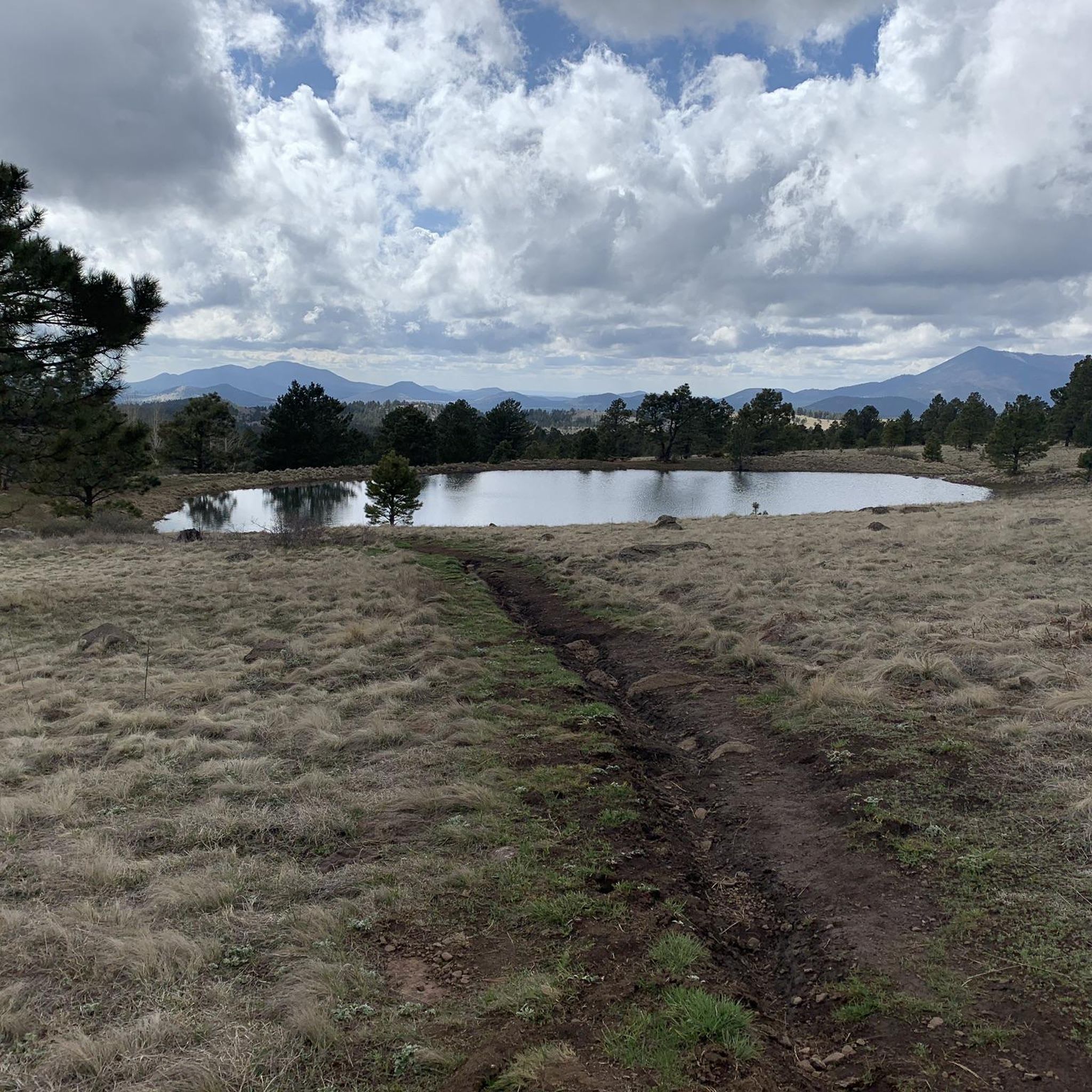
Hiking around Kachina Village offers access to the Coconino National Forest, characterized by extensive ponderosa pine forests. The area features diverse terrain, including spring-fed wetlands and views of the San Francisco Peaks. Trails often traverse gentle elevations, providing a range of experiences from flat walks to moderate climbs. This region sits at an elevation of approximately 6,798 feet (2,072 meters).
Best hiking trails around Kachina Village
- The most popular hiking route is Skunk Canyon Loop, a 1.7 miles (2.7 km) trail that takes 43 minutes to complete. This easy route offers forest and field views.
- Another top favourite among local hikers is Soldier and Bridge Trail Loop, an easy 4.5 miles (7.3 km) path. This trail winds through the local forest landscape.
- Local hikers also love the Kelly Pocket Loop, a 6.6 miles (10.6 km) trail leading through ponderosa pine forests, often completed in about 2 hours 57 minutes.
- Hiking around Kachina Village is defined by ponderosa pine forests, wetlands, and distant views of the San Francisco Peaks. The network offers options for different ability levels, from easy walks to moderate hikes.
- The routes in Kachina Village are highly rated by the komoot community with an average score of 4.2 stars from more than 10 reviews. More than 70 hikers have used komoot to explore Kachina Village's varied terrain.
Last updated: October 11, 2026
5
hikers
2.70km
00:43
40m
30m
Embark on the Skunk Canyon Loop, an easy hiking route that guides you through a varied landscape. You will transition from open, sun-drenched meadows into a woodsy slot canyon, shaded by towering pines, offering a quiet escape into nature. This accessible trail covers 1.7 miles (2.7 km) with a gentle 115 feet (35 metres) of elevation gain, typically taking around 43 minutes to complete.
When planning your visit, you will find that trailhead parking for the Skunk Canyon Loop is generally accessible. It is important to stay vigilant on the path, especially during warmer months, as rattlesnakes may be present. This route provides a convenient option for a quick outdoor experience without extensive preparation.
Located within the Coconino National Forest, the Skunk Canyon Loop is a family-friendly hike that offers opportunities for wildlife sightings. It stands out as a great choice for those seeking beginner hikes in the Skunk Canyon area, providing a charming nature walk that is both manageable and rewarding.
7
hikers
7.27km
01:55
60m
60m
Hike the easy 4.5-mile Soldier and Bridge Trail Loop through pine forests in Fort Tuthill County Park, perfect for families and dogs.

6
hikers
10.6km
02:57
210m
190m
Hike the moderate Kelly Pocket Loop in Coconino National Forest, exploring sandstone caves, water pools, and lush canyon flora over 6.6 mile
1
hikers
7.32km
01:58
80m
100m
Embark on the Fay Canyon Loop, an easy hike that guides you through Sedona's iconic red rock landscape. This route covers 4.6 miles (7.3 km) with a gentle elevation gain of 273 feet (83 metres), making it a perfect choice for a relaxed outing. You can expect to complete the loop in about 1 hours and 57 minutes, winding through a lush desert forest of oaks and other plants, all while surrounded by towering sandstone cliffs that form a dramatic box canyon. Keep an eye out for the prominent Fay Canyon Arch, a natural sandstone formation that stands as a unique visual landmark along the way.
When planning your visit, you will find that the Fay Canyon Loop often provides a more peaceful hiking experience compared to some of Sedona's busier trails. Parking is conveniently available right at the trailhead, making access straightforward. If you plan to bring your canine companion, the main system trail is dog-friendly; just remember to keep them on a leash to ensure everyone's enjoyment and safety. This trail is generally accessible year-round, offering a pleasant escape into nature.
The Fay Canyon Loop is nestled within the vast Coconino National Forest, showcasing the unique geology and vibrant ecosystem of this region. Beyond the main path, you have the option to explore various side trails that can lead you to hidden gems and offer different perspectives of the surrounding landscape. This trail stands out for its combination of accessible terrain and striking natural features, providing a memorable experience of Sedona's famous red rock country without demanding strenuous effort.
42.6km
11:23
180m
1,030m
Hike the difficult 26.5-mile Oak Creek Canyon Scenic Drive, gaining 580 feet, through stunning red rock canyons and lush forests.
Get access to more routes and recommendations from other explorers.
Already have an account?
Our route recommendations are based on thousands of hikes, rides, and runs completed by other people on komoot.
Start today with a free account
Your next adventure awaits.




Tips from the Community

This trail, named after a local settler named Charles Sterling, is a steep climb from the get-go. It offers views of diverse red rock geology and winds through a conifer forest with ponderosa pines and dwarf canyon maples. Overlooks are plentiful and you will be wanting to take ample breaks as you enjoy them.
0
0

The perfect place to strengthen yourself and to review the experiences of the day with a wonderful view.
2
0
Frequently Asked Questions
Are there any easy, family-friendly hikes in Kachina Village?
Yes, the area is great for families. The Pumphouse County Natural Area offers a very easy, relatively flat 1.1-mile nature trail perfect for all ages, with wildlife viewing platforms. For a slightly longer but still gentle walk, consider the Junction to Urban Trail – Overhang at Arizona Trail loop from Canyon Vista Campground, which has minimal elevation gain.
Can I bring my dog on the trails around Kachina Village?
Most trails in the Coconino National Forest surrounding Kachina Village are dog-friendly, but it's best practice to keep your dog on a leash and be mindful of wildlife. The trail systems around Sandys Canyon and Fisher Point are popular with dog walkers.
What are the trail conditions like in winter?
Hiking in winter is possible, but be prepared for snow and ice, especially on shaded trails and at higher elevations. Trails can become muddy as snow melts. It's essential to wear waterproof boots with good grip and consider using microspikes for traction. Always check local weather conditions before you go.
Are there any challenging hikes for experienced hikers?
For a truly strenuous climb, the Humphreys Peak Trail offers a significant challenge as it ascends to the highest point in Arizona. While not starting directly in Kachina Village, it's a premier destination for serious hikers in the region, featuring steep ascents and high-altitude conditions above the treeline.
What kind of wildlife might I see while hiking?
The region is rich in wildlife. In wetland areas like the Kachina Wetlands Preserve and Pumphouse Natural Area, you might spot elk, deer, fox, and various birds, including ospreys and bluebirds. In the canyons and forests, it's common to see deer and elk, particularly around dawn and dusk.
Are there any circular or loop trails available?
Yes, there are several loop options. The Fisher Point via Sandys Canyon & Fay Canyon loop — Coconino National Forest is a great moderate loop that combines two scenic canyons. This route provides a varied experience without needing to backtrack.
What do other hikers enjoy most about the trails in Kachina Village?
The area is highly rated by the komoot community. Reviewers often praise the unique geology, particularly the sandstone cliffs and caves found along the Fisher Point via Sandys Canyon Trail. The sense of solitude and the transition from pine forests to open meadows are also frequently mentioned as highlights.
Are there any trails with historical or cultural significance?
Yes, the nearby Walnut Canyon National Monument offers a unique hiking experience where you can explore ancient cliff dwellings of the Sinagua people. The one-mile Island Trail descends into the canyon, allowing you to walk past 25 preserved homes built directly into the limestone cliffs. The Sandys Canyon Trail to Walnut Canyon route connects you to this historically rich area.
Where can I find good views or scenic overlooks?
For panoramic vistas, Fisher Point is a major highlight, offering a stunning view from a massive sandstone bluff. The hike up to the point is a rewarding experience. For a different perspective, the Kachina Wetlands Preserve is known for its beautiful reflections of the San Francisco Peaks in the water on calm days.
What should I pack for a day hike in this area?
It's essential to bring plenty of water, as the climate is dry and many trails are exposed to the sun. Also pack snacks, sun protection (hat, sunscreen), and a map or a charged phone with a navigation app. Weather can change quickly, so a light jacket or rain gear is recommended, even on a clear day.
How do I get to the trailheads? Is parking available?
Most trailheads, such as those for Sandys Canyon and Walnut Canyon, are accessible by car from Kachina Village and have designated parking areas. However, popular spots can fill up, especially on weekends. Arriving early is always a good strategy to secure a parking spot.
What are some popular named trails and places for hiking near Kachina Village?
Besides the routes in this guide, local hikers highly regard the Skunk Canyon to Fisher Point — Coconino National Forest trail. Other popular named areas include the Kachina Trail, known for its beautiful forest scenery, and the vast Kachina Peaks Wilderness for more rugged adventures.
Most popular attractions around Kachina Village

Get inspired with the komoot mobile app


Explore more
Browse the best Hikes in other regions.
