The 7 Most Amazing Peaks around Casas Adobes
Best mountain peaks around Casas Adobes are found within the Santa Catalina Mountains, which border the northern Tucson metropolitan area. This region provides a desert backdrop with opportunities for outdoor recreation. The area features diverse ecosystems, unique geological formations, and panoramic views. These mountains offer a "sky island" environment where cooler, wetter conditions at higher elevations support varied life.
Best mountain peaks around Casas Adobes
- The most popular mountain peaks is Finger Rock Trailhead, a trail that offers adventure…
Last updated: June 24, 2026
Finger Rock Trailhead
Highlight • Trail
Tip by

Pusch Peak Trail
Highlight (Segment) • Trail
Tip by

Sign up now to discover places like this
Get recommendations on the best single tracks, peaks, & plenty of other exciting outdoor places.
Sign up for free
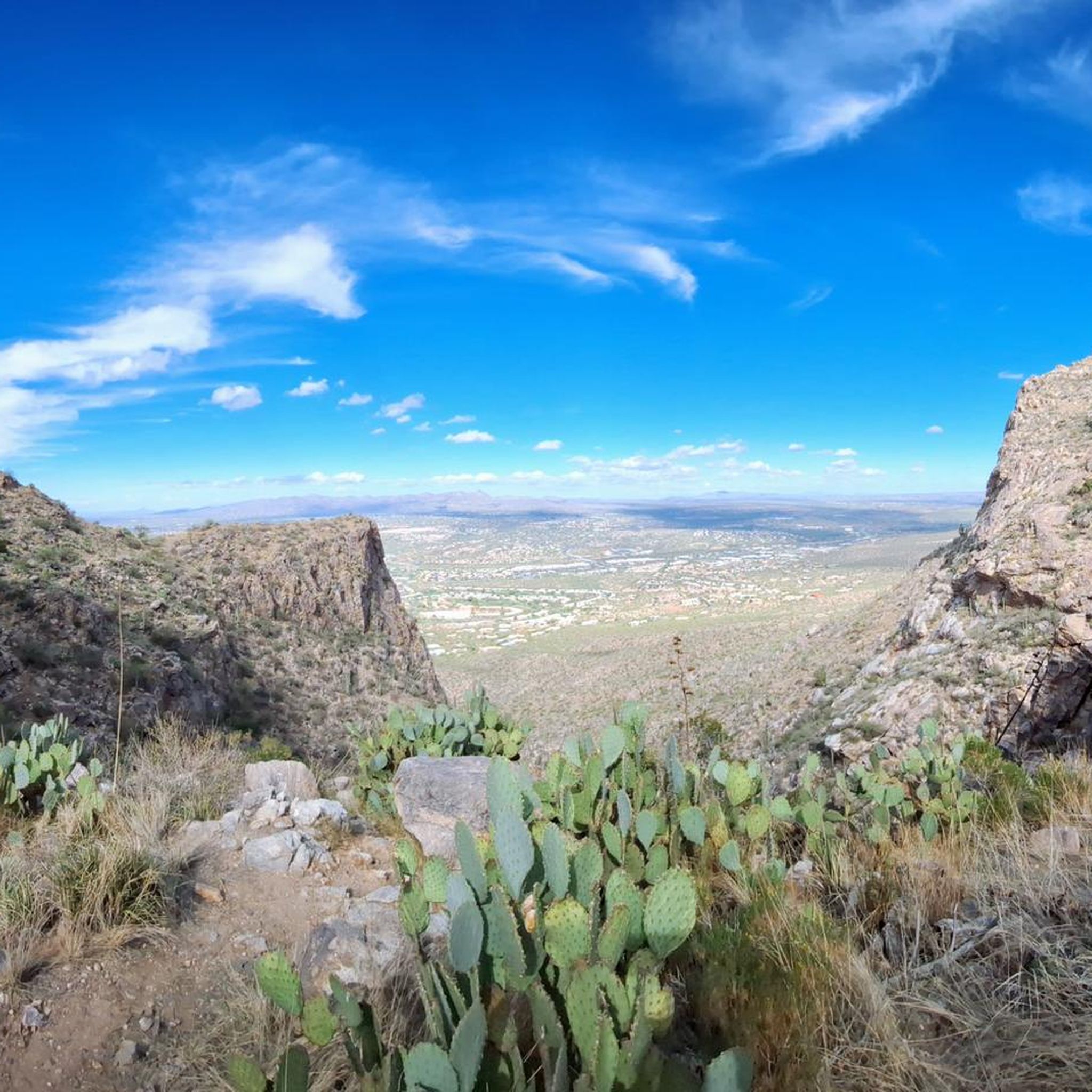
View from Pusch Peak
Highlight • Summit
Tip by

Sentinel Peak
Highlight • Summit
Tip by

Sentinel Peak Park
Highlight • Summit
Tip by

Sign up for free to discover even more peaks around Casas Adobes.
Sign up for free
Already have an account?
Start today with a free account
Your next adventure awaits.
Login or Signup
Tips from the Community

Sentinel Peak Park, also known as “A” Mountain, is a great spot for a hill workout in Tucson. The paved road climbs steadily to the top, giving you wide desert views and a solid leg burn. It’s short but steep—perfect if you want to squeeze in some elevation on your run.
0
0

The Pusch Peak Trail begins at the Linda Vista Loop Trailhead and cuts through the loop trail. After 0.7 miles and a 380-foot elevation gain, a sign marks the start of the "real" route to the peak, featuring steep 25% grade climbs, loose rocks, and prickly desert vegetation. Long pants and sturdy boots are recommended for this section. Over 1.25 miles, hikers ascend more than 2,300 feet along a mostly well-defined trail, with some sections requiring navigation over exposed rock. The return follows the same path.
1
0

Parking is across the street. No water access at this trailhead.
0
0

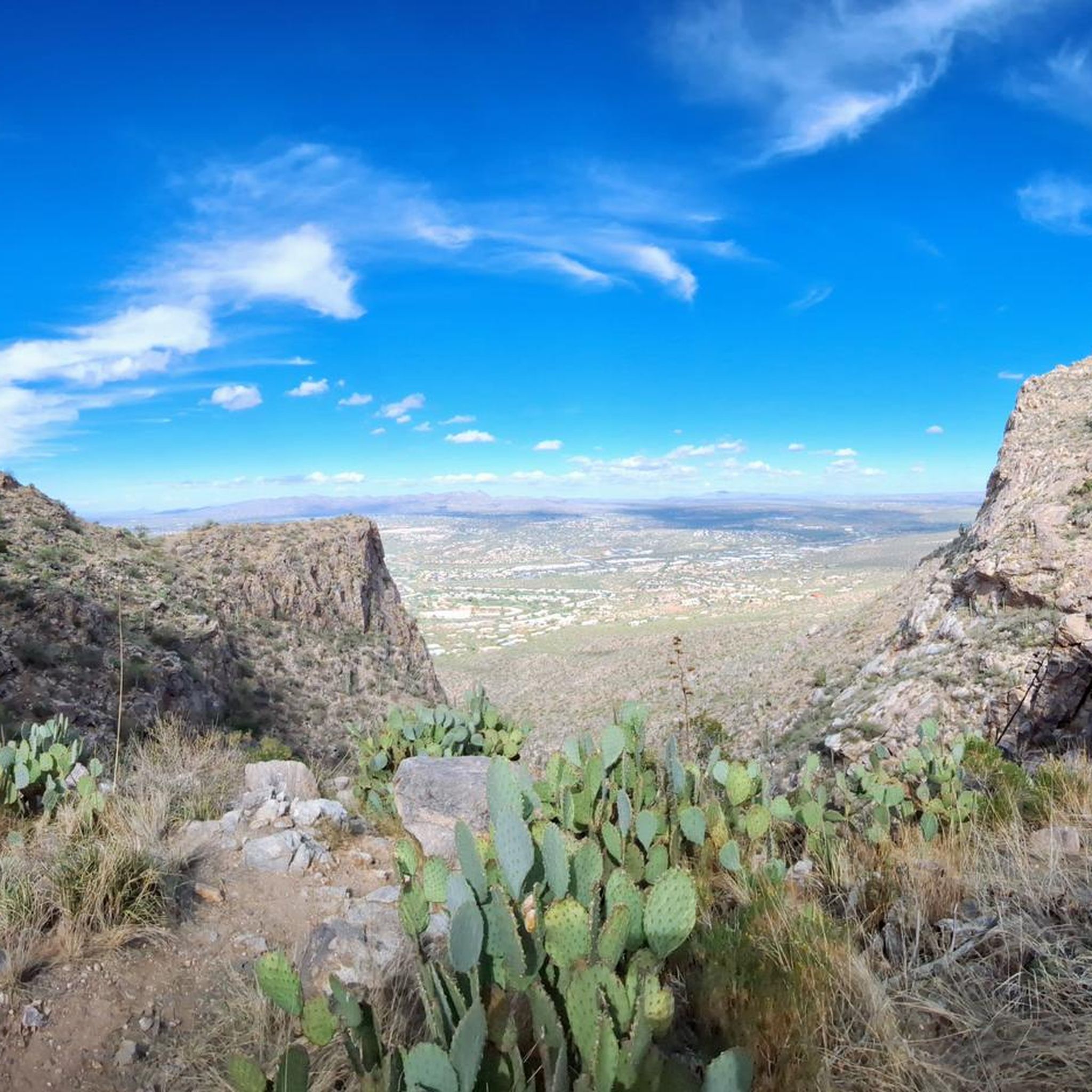
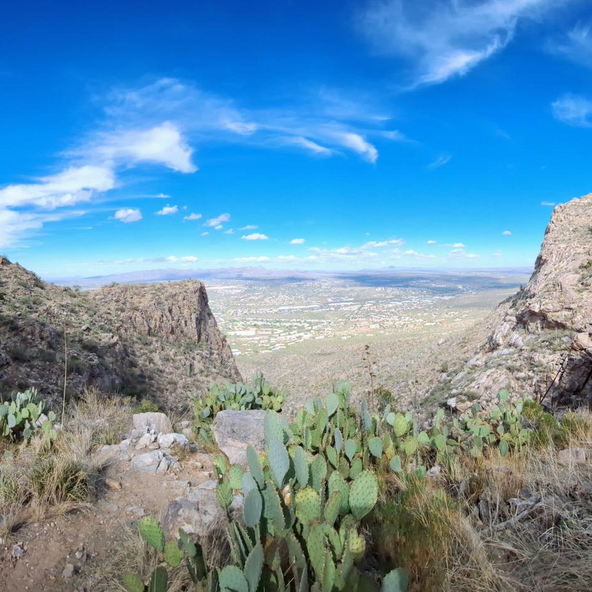
Very steep trail offering great views on the canyon and the mountains range, from one side, and on the Tucson plateau on the other side. Caution : this trail is closed from Jan 1st to April 30th to protect the BigHorn sheep.
1
1

If you are in decent shape, can follow your own pace, hike early when hot, and hydrate with sips, not chugging, it is a half day hike or less. It is a fairly high elevation for a 360 view in the Catalinas. Follow the trail with your eyes, especially when it is overgrown. Several side trails with many Sheep trails can lead to off trail, which can be dangerously steep. It you pay attention, it is beautiful and safe.
0
0

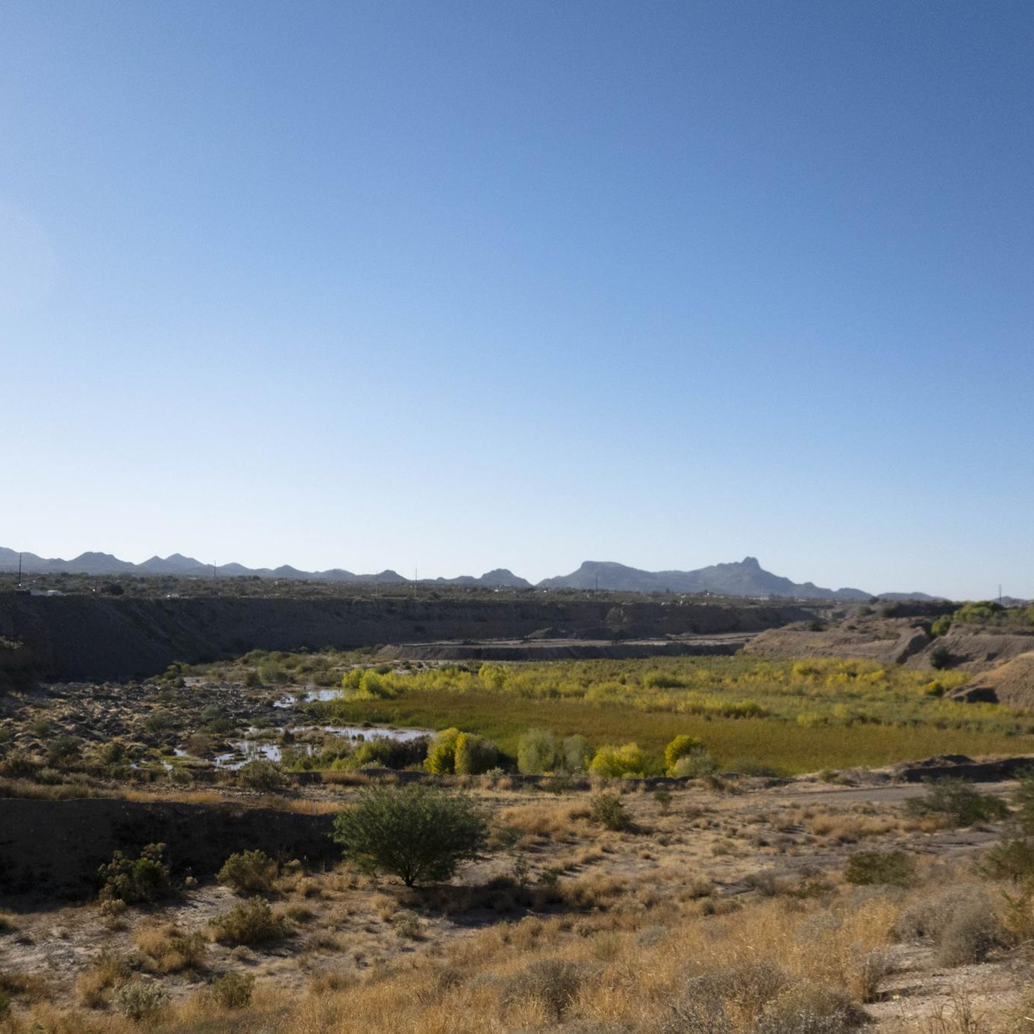
Sentinel Peak is an easy access summit that is great for watching the sunset over Tucson. It is also known as "A" Mountain because of the giant A on it's east side.
0
0

Finger Rock Trail is a great adventure into the mountain scenery of the Pusch Ridge Wilderness with great views on Tucson. If you follow it to the end you will summit Mount Kimball at 7,240 feet. Along your way you will see the stunning Saguaro cacti and you might see Javelina and even the infamous Gila Monster.
2
0

The Linda Vista trailhead is located just off Oracle Road, very convenient to locations in Oro Valley or northwest Tucson. This relatively short but extremely steep hike quickly gets you into the mountain preserve and up to the summit of Pusch Peak. On a clear day, the views are breathtaking, and in the right season, you stand a chance of seeing bighorn sheep.
1
0
Frequently Asked Questions
Which mountain peaks offer the best panoramic views near Casas Adobes?
For breathtaking panoramic views, consider hiking to View from Pusch Peak. This summit provides a 360-degree vista of the Catalinas. Another excellent option is Sentinel Peak, also known as "A" Mountain, which offers easily accessible views of Tucson and the surrounding desert, especially popular for sunsets.
Are there challenging hiking trails to mountain peaks in the Casas Adobes area?
Yes, for experienced hikers seeking a challenge, the trail to Mount Kimball via the Finger Rock Trailhead is a strenuous 13.1-mile hike with significant elevation gain. Another demanding option is the Pusch Peak Trail, known for its steep climbs and loose rocks, requiring sturdy boots and offering great views of the canyon and mountain range.
What kind of wildlife and natural features can I expect to see on mountain trails near Casas Adobes?
The Santa Catalina Mountains are part of a 'sky island' environment, supporting diverse ecosystems. On trails like the Finger Rock Trail, you can observe stunning Saguaro cacti and may encounter wildlife such as javelina and Gila monsters. The Pusch Ridge Wilderness, home to Pusch Peak, is also known for its rugged desert landscapes and the possibility of spotting bighorn sheep.
Are there any family-friendly mountain peaks or viewpoints accessible near Casas Adobes?
Yes, Sentinel Peak (A Mountain) is considered family-friendly due to its easy access and paved road to the top, making it suitable for all ages to enjoy panoramic views of Tucson. While not a peak itself, the Linda Vista Loop Trail, which leads to the View from Pusch Peak, offers a moderate introduction to the area's desert flora.
What is the best time of year to hike the mountain peaks around Casas Adobes?
The Santa Catalina Mountains offer cooler, wetter conditions at higher elevations, making them more accessible during warmer months. However, for many desert trails, hiking early in the day is recommended, especially when temperatures are high. Note that the Pusch Peak Trail is closed from January 1st to April 30th to protect bighorn sheep.
What are some historical or cultural landmarks among the mountain peaks?
Sentinel Peak, also known as "A" Mountain, is a significant historical and cultural landmark. It marks the site where Tucson began and features the University of Arizona's "A" emblazoned on its top, offering a unique blend of natural beauty and local history.
What are some popular hiking routes near the mountain peaks of Casas Adobes?
Beyond specific peak ascents, the region offers various hiking opportunities. For challenging routes, consider the Pima Canyon Trail #62. If you're looking for easier options, the Linda Vista Loop Trail is a popular choice. You can find more detailed information on these and other trails in the Hiking around Casas Adobes guide.
Are there any easy hiking trails near Casas Adobes' mountain peaks?
Yes, for easier hikes, you can explore routes like the Linda Vista Loop Trail, Saguaro Vista, Lost Arrow, Spine and Wildflower Ridge Loop, or the Maeveen Behan Loop Trail. These trails provide a good introduction to the desert landscape without extreme difficulty. More options can be found in the Easy hikes around Casas Adobes guide.
What do visitors appreciate most about the mountain peaks near Casas Adobes?
Visitors frequently highlight the stunning panoramic views, especially from summits like View from Pusch Peak and Sentinel Peak. The immersive Sonoran Desert experience, with its unique flora like Saguaro cacti and potential wildlife sightings, is also a major draw. The challenging yet rewarding nature of trails like the Pusch Peak Trail is also highly valued by the komoot community.
Can I find running trails near the mountain peaks around Casas Adobes?
Yes, the area offers several running trails. Options include the Rillito River Path loop, running loops from Mountain View High School, and the Cañada del Oro River Trail. These trails provide diverse terrain for runners. For more details, refer to the Running Trails around Casas Adobes guide.
What makes Cathedral Rock a notable peak in the Santa Catalina Mountains?
Cathedral Rock is a spectacular and easily recognizable mountain top within the Santa Catalina Mountains. While its summit is challenging to reach, often requiring a hike of at least 15 miles, its distinctive shape and dramatic presence make it a compelling landmark. The best views of its grandeur are often enjoyed from nearby vantage points, particularly Mount Lemmon.
Most popular attractions around Casas Adobes

Get inspired with the komoot mobile app


Explore more
See even more amazing summits around Casas Adobes with these guides:
