The best road cycling routes around Oro Valley
5.0
(17)
1,329
riders
39
rides
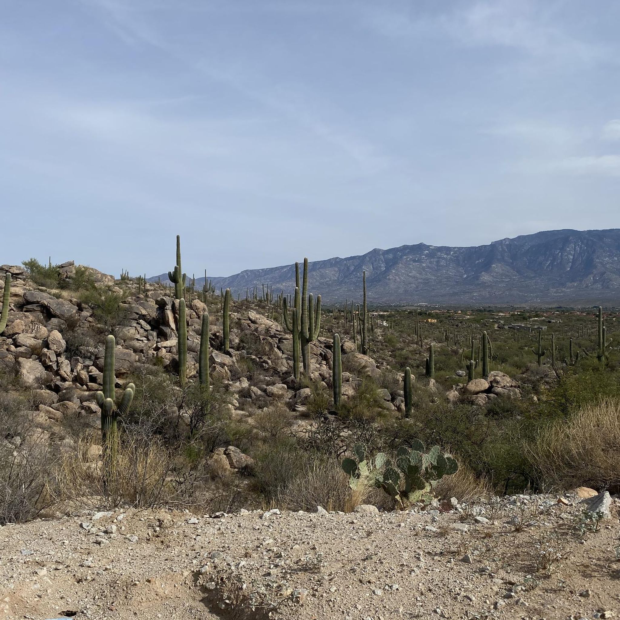
Road cycling routes around Oro Valley feature a diverse landscape, from the saguaro-studded Sonoran Desert to the foothills of the Santa Catalina Mountains. The region offers an extensive network of paved trails, multi-use paths, and wide bike lanes, providing a safe environment for cyclists. River washes like the Cañada del Oro also offer scenic corridors for cycling. This terrain provides a mix of flat sections and gentle ascents, suitable for various road cycling experiences.
Best road cycling routes in Oro…
Last updated: July 11, 2026
5.0
(1)
172
riders
Moderate road ride. Good fitness required. Some segments of this route may be unpaved and difficult to ride.
5.0
(2)
137
riders
Moderate road ride. Good fitness required. Some segments of this route may be unpaved and difficult to ride.

Sign up for free
125
riders
Moderate road ride. Good fitness required. Mostly well-paved surfaces and easy to ride.
5.0
(3)
148
riders
Moderate road ride. Great for any fitness level. Some segments of this route may be unpaved and difficult to ride.
4.6
(7)
250
riders
Moderate road ride. Good fitness required. Some segments of this route may be unpaved and difficult to ride.
Get access to more routes and recommendations from other explorers.
Sign up for free
Already have an account?
Our route recommendations are based on thousands of hikes, rides, and runs completed by other people on komoot.
Start today with a free account
Your next adventure awaits.
Login or Signup

Tips from the Community

Art can be found throughout The Loop. Both contemporary art, like this piece, and indigenous art.
1
0
A great cycle path that is made up of several sections and is over 100 miles long in total.
1
0

The Cañada del Oro River Park is a 30‑acre community green space along the Cañada del Oro wash. The park has picnic areas, playgrounds, and several miles of hiking trails.
0
0

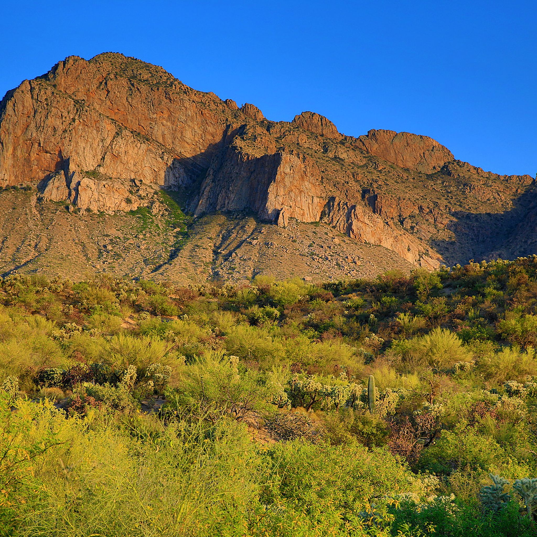
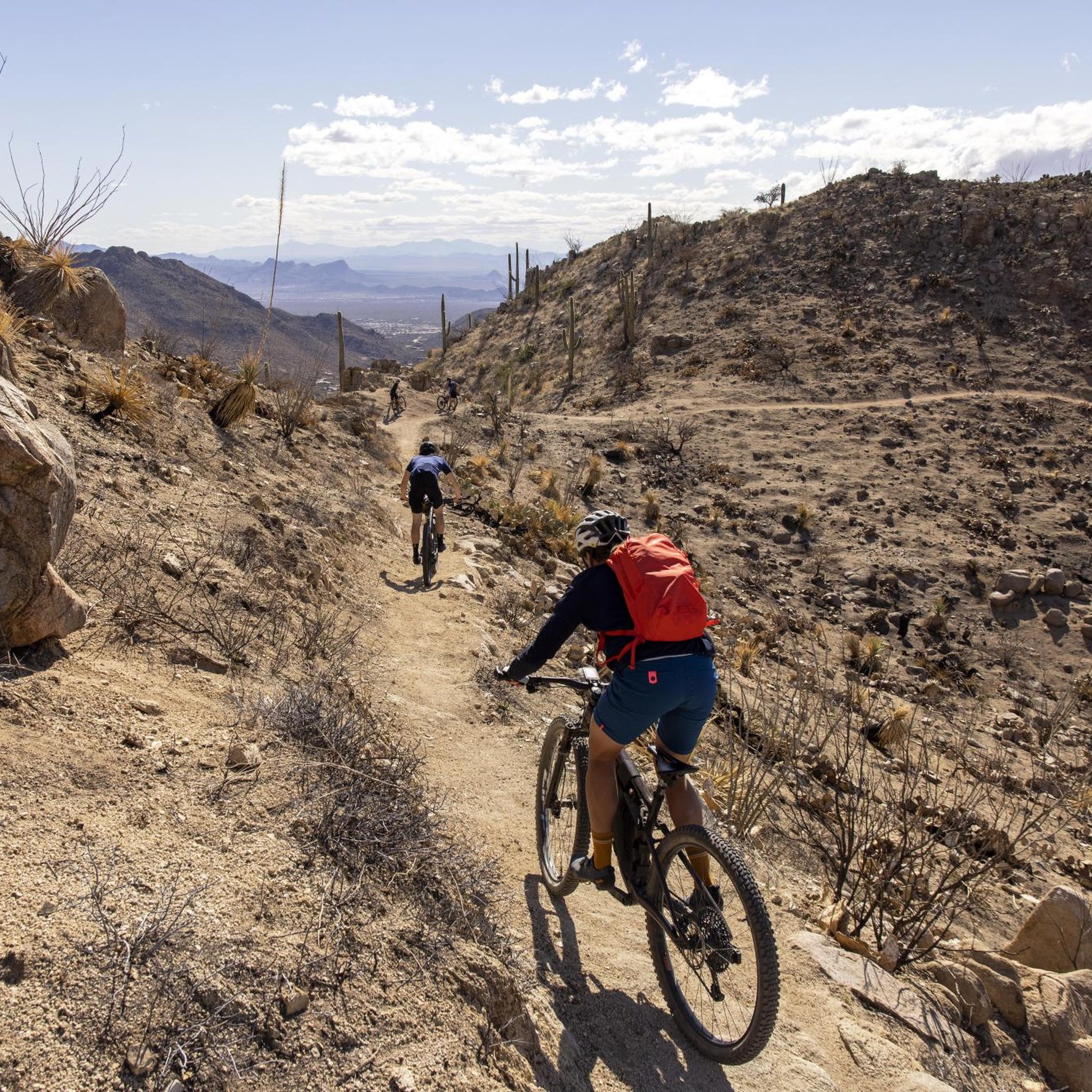
Honeybee Canyon Park is a hidden desert gem with stunning rock formations, towering cacti, and beautiful views of the Pusch Ridge Mountains. There are three miles of hiking trails, a historic rock dam, and ancient petroglyphs created by the Hohokam people over a thousand years ago. It is open year-round and ideal for hiking and mountain biking. The park is home to a diverse range of wildlife, including coyotes, deer, bobcats, and even mountain lions, so be sure to stay aware of your surroundings. Shade is limited, so bring plenty of water and sun protection as you explore this beautiful park.
0
0

The Juan Bautista de Anza Trail passes through three states and two countries as it follows the historic route of Spanish colonizers from Mexico to what is now San Francisco. This particular spot in the trail is close to Sentinel Peak Park (yes, you can bike up the road to the peak). The trail also parallels the Santa Cruz River for a stretch.
2
0

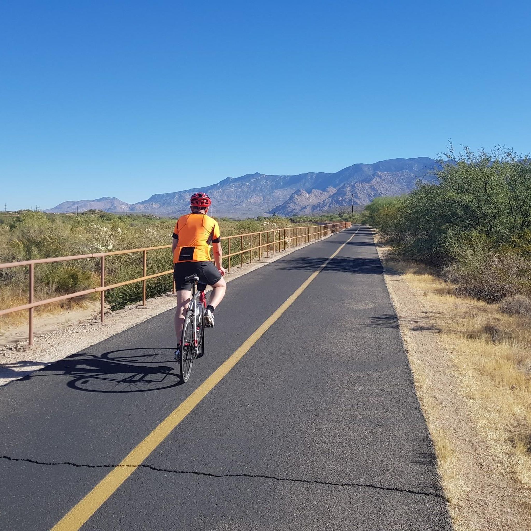
The Cañada del Oro River Trail offers over 4 miles of paved, dual lane, multi-use trail along the Cañada del Oro River Wash. The views of the mountains surrounding the trail are stunning, just be sure to keep an eye out for other trail users.
0
0
From here you can see into St. Philip's Plaza, and maybe even catch a glimpse of the fountain near its center if crowds of people aren't in the way. This plaza isn't just popular with walkers and shoppers; it's also a common spot to begin or end a road ride.
1
0
From here you can see into St. Philip's Plaza, and maybe even catch a glimpse of the fountain near its center, if crowds of people aren't in the way. This plaza isn't just popular with walkers and shoppers; it's also a common spot to begin or end a road ride.
0
0
Frequently Asked Questions
How many road cycling routes are available in Oro Valley?
Oro Valley offers a wide selection of road cycling routes, with over 40 distinct tours available on komoot. These routes cater to various skill levels, from easy rides to more challenging excursions.
What kind of terrain can I expect on road cycling routes in Oro Valley?
Road cycling in Oro Valley features a diverse landscape. You'll find a mix of flat sections and gentle ascents, traversing the saguaro-studded Sonoran Desert and the foothills of the Santa Catalina Mountains. The region is known for its extensive network of paved trails, multi-use paths, and wide bike lanes, providing a smooth riding experience.
Are there any easy road cycling routes suitable for beginners in Oro Valley?
Yes, Oro Valley has several easy road cycling routes perfect for beginners or those looking for a relaxed ride. There are 14 easy routes available, offering a gentle introduction to the area's scenic beauty. An example is the Cañada del Oro Riverfront Park – Cañada del Oro River Trail loop from Catalina, which is an accessible option.
What are some scenic landmarks or attractions I can see along the road cycling routes?
Many routes offer stunning views of the Santa Catalina Mountains and the Sonoran Desert. You can explore areas near Catalina State Park Trailhead, or ride along the Rillito River Trail. The region is rich in natural beauty, including saguaro-filled canyons and diverse desert flora.
Are there road cycling routes that form a loop in Oro Valley?
Yes, many road cycling routes in Oro Valley are designed as loops, offering convenient starting and ending points. For instance, the Rillito River Trail – Rillito River Path loop from Entrada del Oro Plaza and the Cañada del Oro River Trail – Cañada del Oro River Park loop from E Innovation Park Dr & N Vistoso Park Rd are popular loop options.
What do other cyclists say about road cycling in Oro Valley?
The road cycling routes in Oro Valley are highly regarded by the komoot community, with an average rating of 4.5 stars from over 50 reviews. Cyclists often praise the well-maintained paved path networks, the dramatic backdrop of the Santa Catalina Mountains, and the unique Sonoran Desert scenery.
Is Oro Valley suitable for long-distance road cycling?
Absolutely. Oro Valley provides excellent opportunities for long-distance road cycling, thanks to its extensive network of paths and trails. Routes like the Pantano River Park – Garden of Gethsemane Park loop from Education Center Parking cover nearly 60 miles (96 km), offering continuous riding through urban and natural settings.
When is the best time of year to go road cycling in Oro Valley?
Oro Valley offers pleasant weather for road cycling, making it a year-round destination. The region's mild winters are particularly popular for cycling, while other seasons also provide enjoyable conditions. Always check local weather forecasts for the most current information.
Are there family-friendly road cycling options in Oro Valley?
Oro Valley is recognized for its safe and enjoyable environment for cyclists of all levels, including families. The town boasts over 100 miles of scenic bike paths, wide bike lanes, and paved multi-use paths, which are ideal for family outings. The extensive network ensures there are routes suitable for children and less experienced riders.
Where can I find parking for road cycling routes in Oro Valley?
Many road cycling routes in Oro Valley have accessible starting points with parking. For example, the Pantano River Park – Garden of Gethsemane Park loop starts from the Education Center Parking. The region's extensive network of trails often includes designated trailheads and parking areas for public access.
Are there any challenging road cycling routes for experienced riders in Oro Valley?
Yes, while Oro Valley offers many easy and moderate routes, there are also options for experienced riders seeking a challenge. The diverse terrain, including climbs towards the Santa Catalina Mountains, provides opportunities for more strenuous rides. The guide lists 2 difficult routes for those looking to push their limits.
Most popular routes around Oro Valley
Most popular attractions around Oro Valley

Get inspired with the komoot mobile app


Explore more
Browse the best Road cycling routes in other regions.
