The best road cycling routes around Marana
4.6
(46)
2,965
riders
22
rides
Road cycling around Marana, Arizona, is characterized by its Sonoran Desert landscape, featuring extensive paved trails and views of the Tortolita Mountains. The region offers a diverse network of routes, including the nationally recognized Chuck Huckelberry Loop. Cyclists can navigate through areas rich with saguaro cacti and along riparian corridors. The terrain generally presents minimal elevation changes on many routes, with some options for moderate climbs.
Best road cycling routes around Marana
- The most popular road cycling route is Cañada…
Last updated: July 10, 2026
4.3
(4)
119
riders
52.9km
02:16
130m
130m
Moderate road ride. Good fitness required. Mostly well-paved surfaces and easy to ride.
69
riders
Easy road ride. Great for any fitness level. Mostly well-paved surfaces and easy to ride.

Sign up for free
3.7
(3)
68
riders
Moderate road ride. Good fitness required. Some segments of this route may be unpaved and difficult to ride.
5.0
(2)
86
riders
Moderate road ride. Great for any fitness level. Some segments of this route may be unpaved and difficult to ride.
35
riders
27.0km
01:13
60m
60m
Easy road ride. Great for any fitness level. Mostly well-paved surfaces and easy to ride.
Get access to more routes and recommendations from other explorers.
Sign up for free
Already have an account?
Our route recommendations are based on thousands of hikes, rides, and runs completed by other people on komoot.
Start today with a free account
Your next adventure awaits.
Login or Signup
Tips from the Community

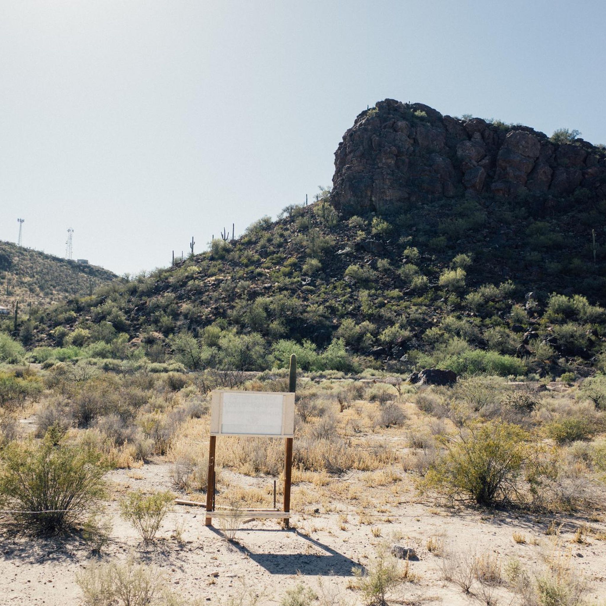
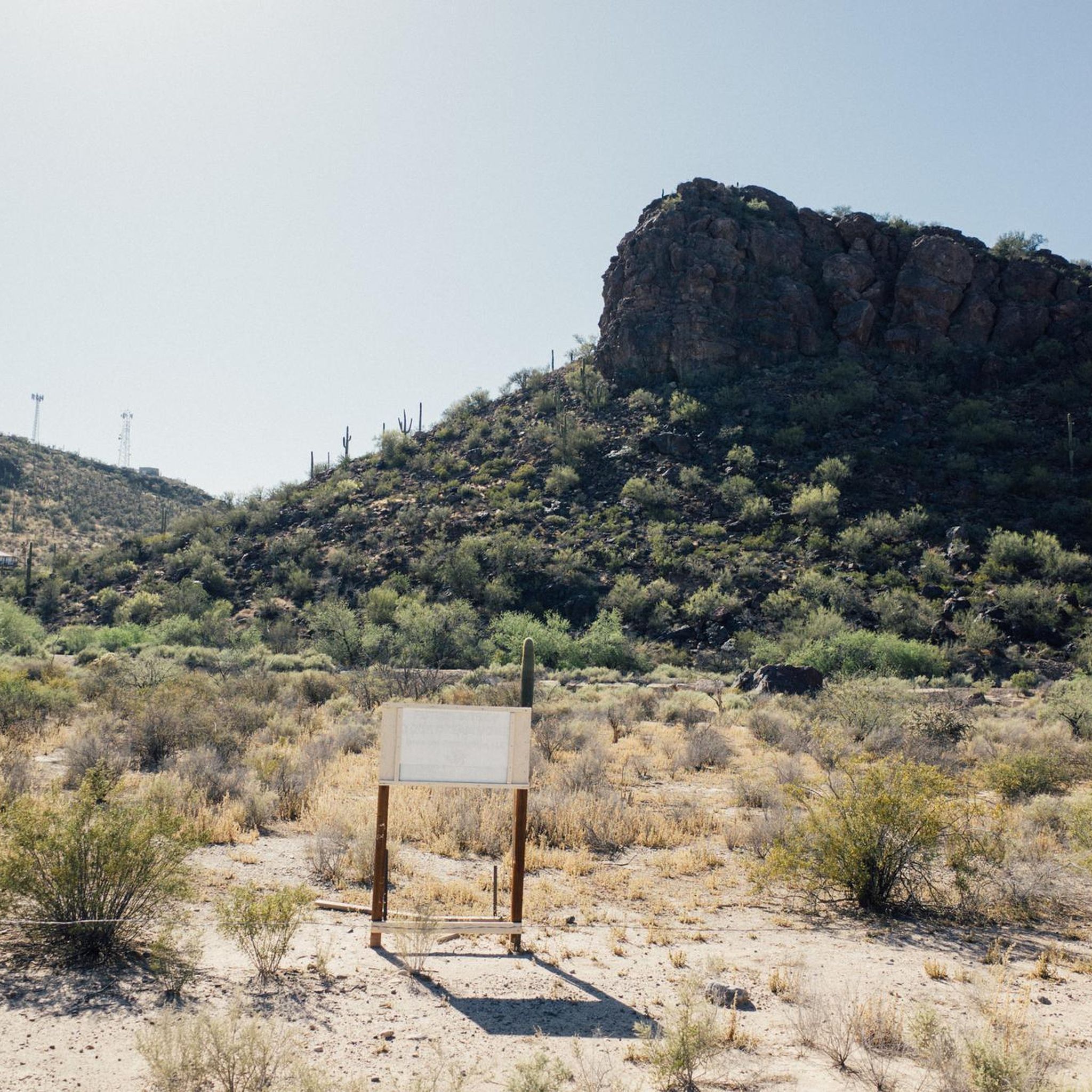
Art can be found throughout The Loop. Both contemporary art, like this piece, and indigenous art.
1
0
A great cycle path that is made up of several sections and is over 100 miles long in total.
1
0

The Cañada del Oro River Park is a 30‑acre community green space along the Cañada del Oro wash. The park has picnic areas, playgrounds, and several miles of hiking trails.
0
0

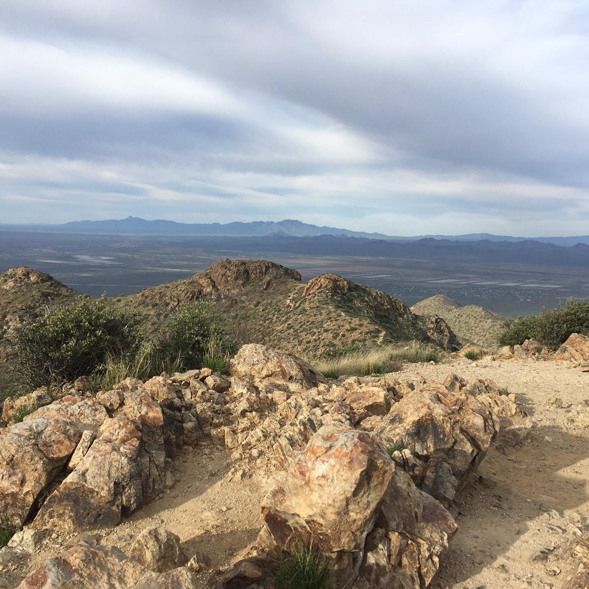
The Juan Bautista de Anza Trail passes through three states and two countries as it follows the historic route of Spanish colonizers from Mexico to what is now San Francisco. This particular spot in the trail is close to Sentinel Peak Park (yes, you can bike up the road to the peak). The trail also parallels the Santa Cruz River for a stretch.
2
0

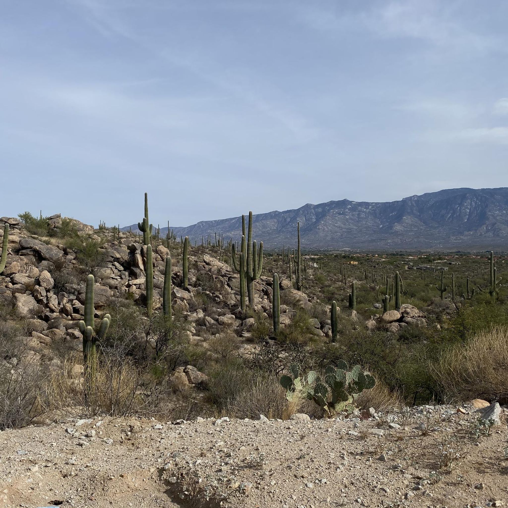
The Cañada del Oro River Trail offers over 4 miles of paved, dual lane, multi-use trail along the Cañada del Oro River Wash. The views of the mountains surrounding the trail are stunning, just be sure to keep an eye out for other trail users.
0
0

Also known as the Rillito River bike path, The Loop has been named the top biking path in America. The trail follows parallel to the Santa Cruz River and is a phenomenal way to reach Saguaro National Park from Tucson!
2
0

Right in the heart of the Oro Valley is the recreational haven that is the Cañada del Oro Riverfront Park. This 30 acres of green heaven, provides a sense of serenity in what is otherwise a busy resort town. Apart from the green space there are a variety of sports fields, picnic areas, an amphitheater and a variety of hiking and biking trails.
0
1
Nice park by the river with a playground and shaded picnic areas. There's also a labyrinth to walk and other trails to explore the desert landscape.
0
0
Frequently Asked Questions
What kind of terrain can I expect on road cycling routes in Marana?
Marana's road cycling routes primarily feature the Sonoran Desert landscape, offering extensive paved trails. While many routes have minimal elevation changes, providing a generally flat and fast ride, some options include moderate climbs, particularly as you head towards areas like the Tortolita Mountains or past golf courses on roads like Tangerine Road. You'll often find yourself cycling through areas rich with iconic saguaro cacti and along scenic riparian corridors.
Are there any easy road cycling routes suitable for beginners in Marana?
Yes, Marana offers several easy road cycling routes perfect for beginners or those seeking a relaxed ride. A great option is the El Rio Preserve loop from Marana, which is an easy 27.4-mile path known for its natural setting and gentle terrain. Another easy choice is the El Rio Preserve loop from Distruptive Paintball & Airsoft Field, a 16.7-mile trail through the same preserve area.
What are the best times of year for road cycling in Marana?
Marana boasts approximately 350 days of sunshine annually, making it a fantastic year-round destination for road cycling. However, the most comfortable seasons are typically fall, winter, and spring, when temperatures are milder. Summers can be very hot, so if cycling during these months, it's best to ride early in the morning or late in the evening to avoid the peak heat.
Are there any long-distance road cycling options in Marana?
Absolutely. Marana is home to sections of The Loop (Chuck Huckelberry Loop), a nationally award-winning, 137-mile paved, shared-use path system. This extensive pathway connects Marana with other parts of Pima County and is ideal for long-distance riding. Access points in Marana include Crossroads at Silverbell District Park, Gladden Farms, and Continental Ranch, allowing you to embark on significant mileage.
What natural features or landmarks can I see along the road cycling routes?
Marana's routes offer stunning views of the Sonoran Desert. You'll frequently encounter towering saguaro cacti, especially on routes north of Oro Valley or along Tangerine Road. The Tortolita Mountains provide a dramatic backdrop to many rides. For specific natural attractions, consider exploring areas near Wasson Peak or the Signal Hill Petroglyphs within Saguaro National Park West, which is south of Marana.
Are there any family-friendly road cycling routes in Marana?
Many of Marana's paved multi-use paths, especially sections of The Loop, are suitable for families. These paths are generally flat and separated from vehicle traffic, providing a safe environment for cyclists of all ages. The El Rio Preserve loops, such as the El Rio Preserve loop from Quarry Pines Golf Club, are also excellent choices for an easier, family-friendly outing.
Where can I find parking for road cycling routes in Marana?
Many popular cycling areas in Marana offer convenient parking. For instance, access points to The Loop, such as Crossroads at Silverbell District Park, Gladden Farms, and Continental Ranch, typically have parking facilities. Routes like the Rillito River Trail loop from Bus or RV Parking also indicate specific parking availability, making it easier to start your ride.
What do other road cyclists enjoy most about cycling in Marana?
The road cycling experience in Marana is highly rated by the komoot community, with an average score of 5.0 stars from over 4 reviews. Cyclists often praise the extensive paved trail systems, the breathtaking Sonoran Desert scenery with its iconic saguaros, and the variety of routes that cater to different ability levels, from easy loops to moderate distance rides.
Are there any circular road cycling routes available?
Yes, Marana features several excellent circular road cycling routes. The Cañada del Oro River Trail – Cañada del Oro River Park loop from Silverbell Hills Estates is a popular 27.9-mile circular route. Additionally, the El Rio Preserve offers multiple loop options, such as the El Rio Preserve loop from Marana, providing scenic and manageable circular rides.
Can I access road cycling routes using public transport in Marana?
While Marana has a growing network of cycling infrastructure, direct public transport access to specific trailheads can vary. The Chuck Huckelberry Loop connects various parts of Pima County, including Marana, and can be accessed from different neighborhoods. For specific public transport options to trail access points, it's advisable to check local transit schedules and routes.
Are there any challenging road cycling routes in Marana?
While many routes offer minimal elevation, Marana does provide options for more challenging road cycling. The area north of Oro Valley, including Park Link Drive, offers a 40-mile round trip on a newly paved road with low traffic. Additionally, Tangerine Road features a majestic hill climb past golf courses and saguaro-filled desert scenery towards the Ritz-Carlton, providing a good workout for those seeking more elevation.
Most popular attractions around Marana

Get inspired with the komoot mobile app


Explore more
Browse the best Road cycling routes in other regions.
