The best walks and hikes around Dam Zeulenroda
4.6
(4419)
15,864
hikers
14
hikes
Hiking around Dam Zeulenroda offers diverse terrain in the Vogtland region of Thuringia, Germany. The area features rolling hills, expansive forests, and the clear waters of the reservoir. Numerous lookout points provide panoramic views of the surrounding scenery. The nearby Triebtal Valley nature reserve also offers a picturesque path alongside streams and ancient trees.
Best hiking trails around Dam Zeulenroda
- The most popular hiking route is View of Zeulenrodaer Meer – Scramble Path Teufelsberg loop from Silberfeld, a 7.8…
Last updated: June 26, 2026
4.7
(282)
845
hikers
21.7km
05:45
220m
210m
Hard hike. Very good fitness required. Easily-accessible paths. Suitable for all skill levels.
4.6
(80)
279
hikers
Moderate hike. Good fitness required. Easily-accessible paths. Suitable for all skill levels.

Sign up for free
4.4
(11)
49
hikers
6.45km
01:40
40m
40m
Easy hike. Great for any fitness level. Easily-accessible paths. Suitable for all skill levels.
4.8
(12)
49
hikers
Moderate hike. Good fitness required. Easily-accessible paths. Suitable for all skill levels.
4.3
(7)
53
hikers
11.5km
03:02
100m
100m
Moderate hike. Good fitness required. Easily-accessible paths. Suitable for all skill levels.
Get access to more routes and recommendations from other explorers.
Sign up for free
Already have an account?
Our route recommendations are based on thousands of hikes, rides, and runs completed by other people on komoot.
Start today with a free account
Your next adventure awaits.
Login or Signup
Popular around Dam Zeulenroda

The Klingenthal Trail & Zeulenroda Dam – Hiking in Vogtland in Germany
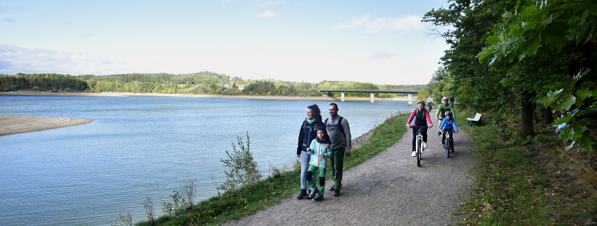
Family fun on foot and bike — explore Germany’s Vogtland

The most popular swimming spots in Thuringia
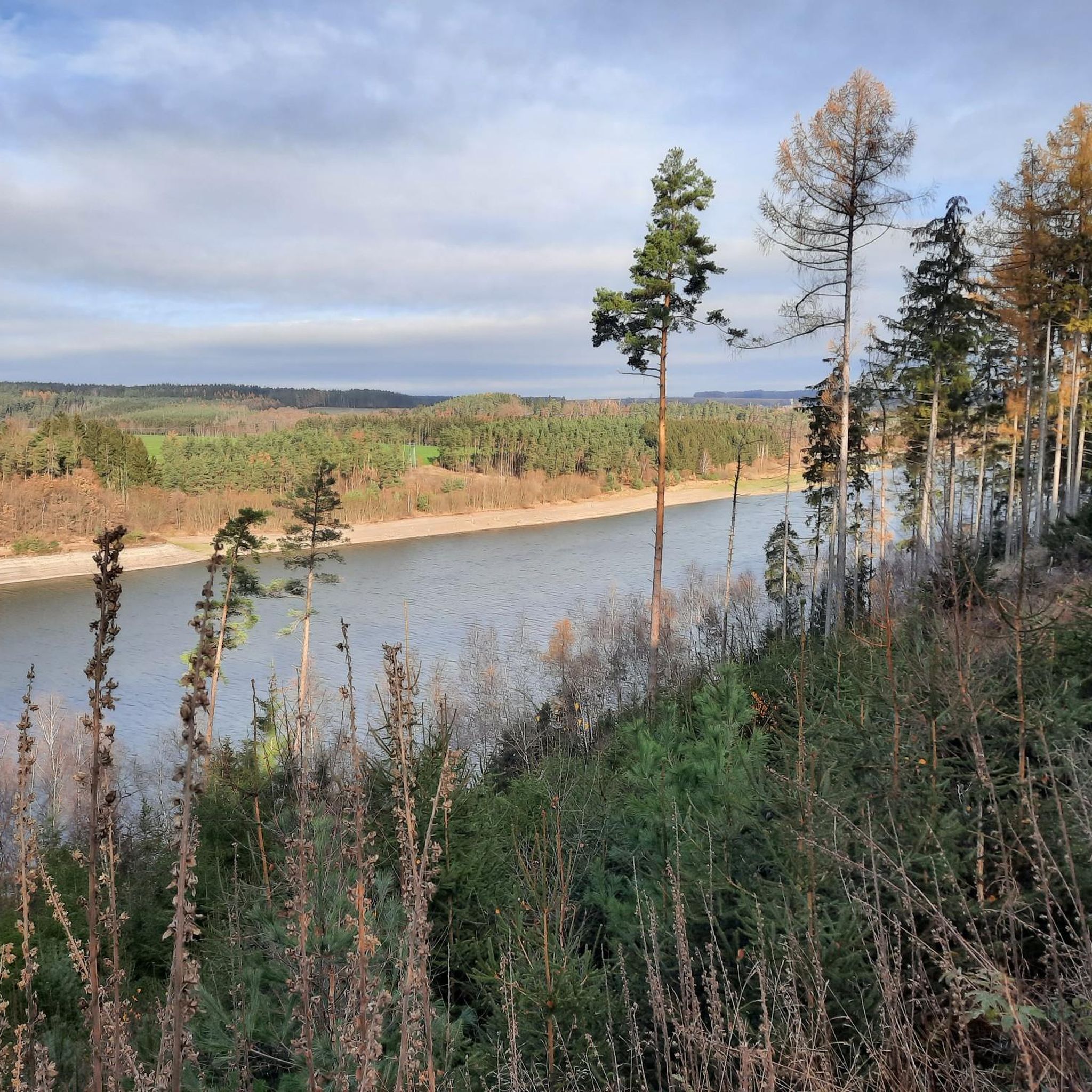
Cycling around Dam Zeulenroda

Running Trails around Dam Zeulenroda
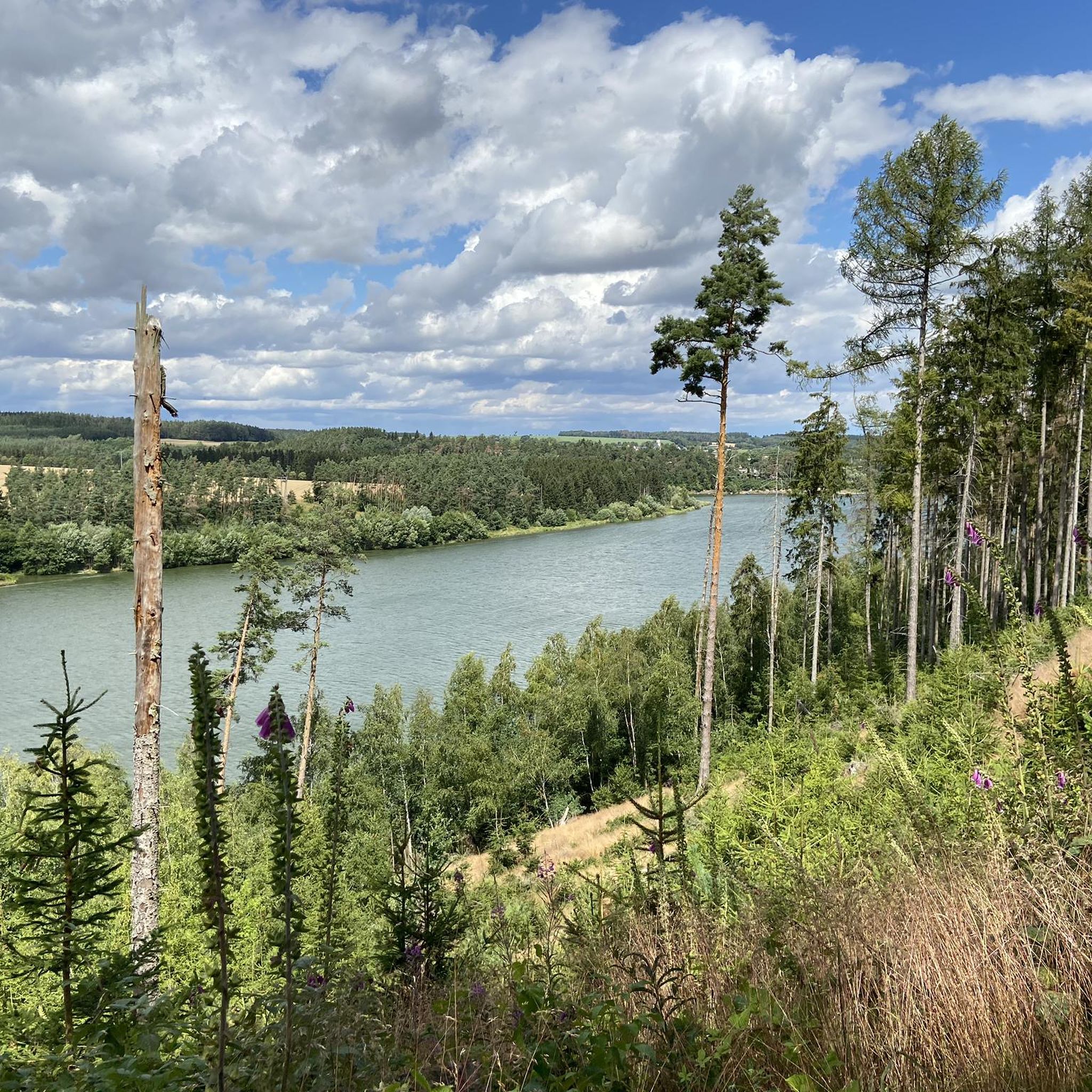
Road Cycling Routes around Dam Zeulenroda
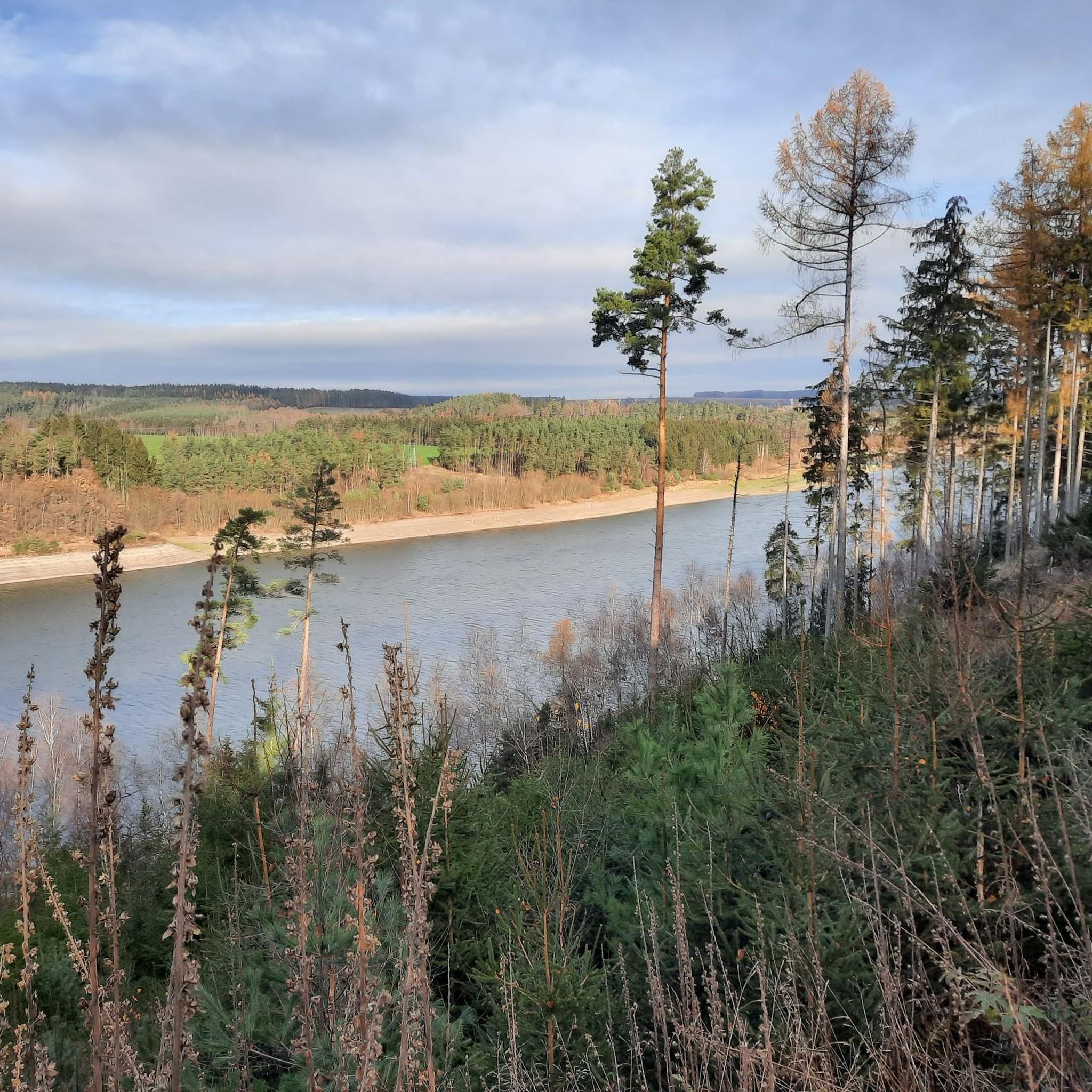
MTB Trails around Dam Zeulenroda

Gravel biking around Dam Zeulenroda


Tips from the Community

There are some beautiful things to actively discover along the panoramic trail at Zeulenrodaer Meer 😊.
17
0
Great idea for 📚 swapping.
17
0

Always a nice place to relax.
0
0
Soak up the sun and enjoy the beauty of the landscape.
0
0

Currently difficult to reach due to fallen trees lying across the road
0
0
Decision point...do you want to go to the Weida Dam or the Zeulenroda Dam?😉
0
0

Idyllic place to rest, the view lets your eyes wander further.
0
0

Very inconspicuous from the street.
0
0
Frequently Asked Questions
What kind of terrain can I expect when hiking around Dam Zeulenroda?
The Dam Zeulenroda area, nestled in the Vogtland region of Thuringia, Germany, features a diverse landscape of rolling hills, expansive forests, and the clear waters of the reservoir. You'll find paths winding through dense woodlands, along the shoreline, and up to numerous lookout points offering panoramic views. The nearby Triebtal Valley also provides a picturesque path alongside streams and ancient trees.
Are there easy hiking options suitable for beginners or casual walkers?
Yes, Dam Zeulenroda offers several easy hikes. For instance, the Zeulenroda-Triebes Wildlife Park – View of Zeulenrodaer Meer loop from Quingenberg is an easy 5.4 km (3.4 miles) trail that takes about 1 hour 28 minutes to complete, leading through varied landscapes. In total, there are 6 easy routes available in the area.
What are some notable landmarks or attractions to see along the trails?
Hikers can discover several interesting points along the trails. You might encounter the unique Brückentelefon Bridge, explore the Zeulenroda Beach, or find tranquility at various shelters like the Angler's Dream Shelter at Zeulenroda Reservoir. The area also features the Scale Park Stelzendorf and a Book-exchange tree at Lesebalkon.
Are there any circular hiking routes around Dam Zeulenroda?
Yes, many of the trails around Dam Zeulenroda are designed as circular routes, allowing you to start and end at the same point. A popular moderate option is the View of Zeulenrodaer Meer – Scramble Path Teufelsberg loop from Silberfeld, which is 12.5 km (7.8 miles) long. Another is the Zeulenroda Beach – Brückentelefon Bridge loop from Langenwolschendorf, covering 18.4 km (11.4 miles).
What do other hikers say about the trails in Dam Zeulenroda?
The hiking routes around Dam Zeulenroda are highly regarded by the komoot community, holding an average rating of 4.6 stars from over 2,700 reviews. Hikers often praise the continuous splendid panoramas of the forests and lakes, the well-maintained paths, and the peaceful atmosphere. Over 10,000 hikers have used komoot to explore this varied terrain.
Can I find places to rest or take a break along the hiking trails?
Yes, the area is well-equipped with places to rest. The Zeulenroda Reservoir Trail, for example, is interspersed with charming hikers' huts and strategic vantage points perfect for breaks. You can find several shelters like the Eichholz Hut or the Flowers by the wayside rest area, offering spots to relax and enjoy the scenery.
Are there any multi-day hiking opportunities in the region?
While many routes are suitable for day trips, the broader Vogtland region, including Dam Zeulenroda, offers multi-day hiking experiences. The certified 41-kilometer Zeulenroda Reservoir Trail encircles both lakes in the Weida valley, providing a comprehensive journey that can be broken into multiple stages. The Klingenthal Trail also offers multi-day options showcasing the region's history and natural beauty.
What is the best time of year to go hiking around Dam Zeulenroda?
Dam Zeulenroda offers beautiful hiking experiences throughout the year. The dense forests and reservoir waters create captivating reflections, and atmospheric mist frequently hovers along the shoreline, creating a serene ambiance in various seasons. Spring brings vibrant greenery, summer allows for water activities, autumn showcases colorful foliage, and winter offers a peaceful, snow-dusted landscape.
Are there any trails that feature bridges or unique architectural elements?
Yes, some trails incorporate interesting architectural features. The Zeulenroda Beach – Brückentelefon Bridge loop from Langenwolschendorf specifically highlights the Brückentelefon Bridge. Another route, the Läwitz Stone Arch Bridge – Stelzendorf Pond loop from Langenwolschendorf, features the historic Läwitz Stone Arch Bridge.
How many hiking routes are available in the Dam Zeulenroda area?
There are 14 hiking routes available around Dam Zeulenroda, catering to various skill levels. This includes 6 easy routes and 8 moderate routes, ensuring options for both casual strolls and more challenging excursions.
Are there any trails that offer views of the entire Zeulenrodaer Meer?
Many trails provide excellent views of the Zeulenrodaer Meer. The View of Zeulenrodaer Meer – Scramble Path Teufelsberg loop from Silberfeld is specifically designed to offer splendid panoramas of the reservoir. The broader Zeulenroda Reservoir Trail also provides continuous views of the surrounding forests and lakes.
Most popular routes around Dam Zeulenroda
Most popular attractions around Dam Zeulenroda

Get inspired with the komoot mobile app


Explore more
Browse the best Hikes in other regions.
