The best road cycling routes around Stausee Scheibe-Alsbach
4.6
(39)
517
riders
42
rides
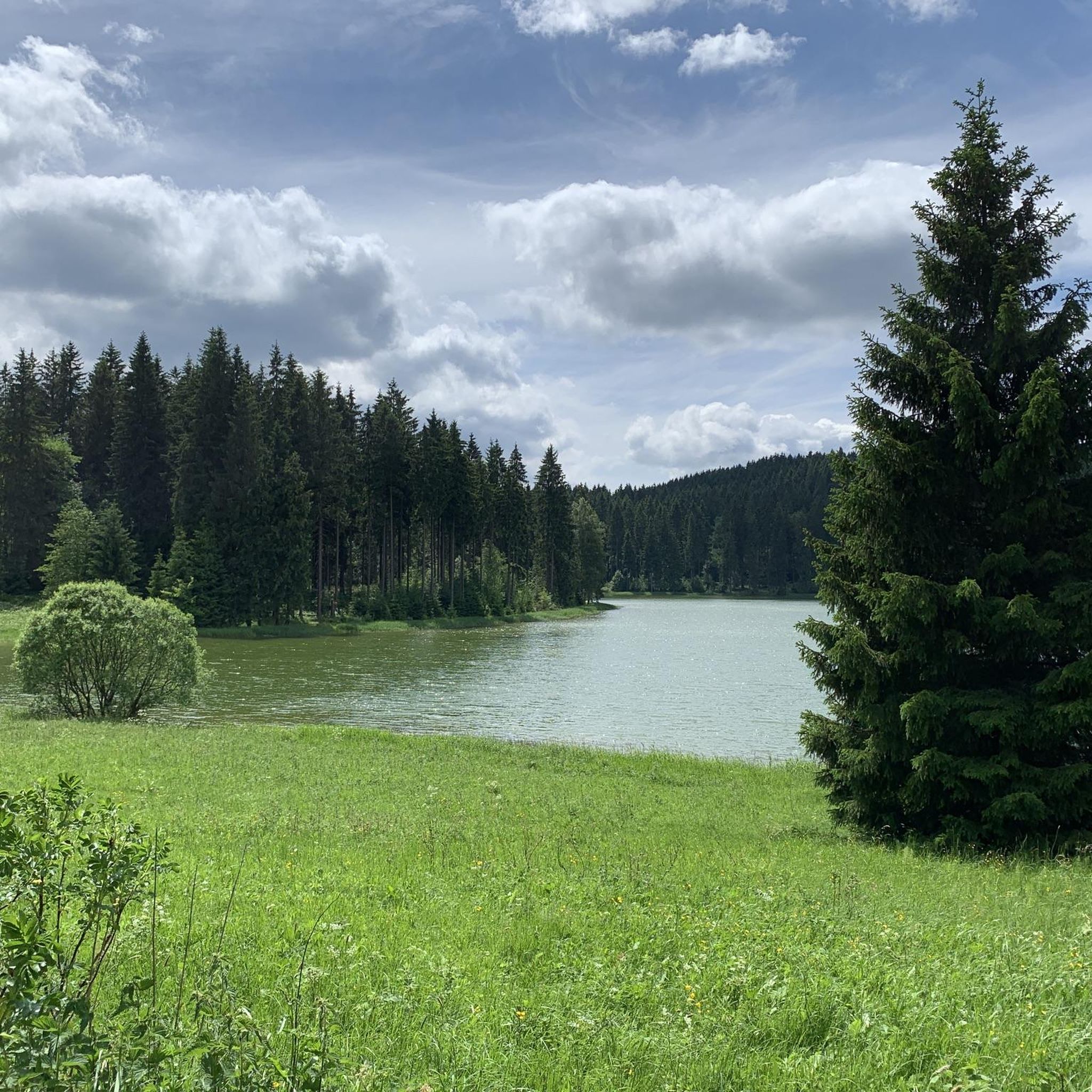
Road cycling routes around Stausee Scheibe-Alsbach navigate the diverse landscapes of the Thuringian Forest, characterized by dense forests, tranquil meadows, and varied topography. The region features the Stausee Scheibe-Alsbach reservoir and the Schwarza river valley, offering a mix of gentle inclines and challenging climbs. Elevations around the reservoir contribute to dynamic terrain, providing a suitable environment for road cycling. The area's extensive network of paved surfaces caters to different skill levels.
Best road cycling routes around Stausee Scheibe-Alsbach
- The most…
Last updated: July 10, 2026
5
riders
84.4km
04:29
1,500m
1,500m
Hard road ride. Very good fitness required. Mostly well-paved surfaces and easy to ride.
3
riders
81.8km
04:09
1,400m
1,400m
Hard road ride. Very good fitness required. Mostly well-paved surfaces and easy to ride.

Sign up for free
3
riders
93.8km
04:36
1,120m
1,120m
Hard road ride. Very good fitness required. Mostly well-paved surfaces and easy to ride.
14
riders
120km
06:23
2,220m
2,220m
Hard road ride. Very good fitness required. Mostly well-paved surfaces and easy to ride.
4.0
(1)
35
riders
109km
05:12
1,420m
1,420m
Hard road ride. Very good fitness required. Some segments of this route may be unpaved and difficult to ride.
Get access to more routes and recommendations from other explorers.
Sign up for free
Already have an account?
Our route recommendations are based on thousands of hikes, rides, and runs completed by other people on komoot.
Start today with a free account
Your next adventure awaits.
Login or Signup
Tips from the Community

Crisp climb on great asphalt and hardly any traffic, especially in the after-work hours.
0
0
It makes more sense to ride uphill, as it is almost continuously 2-track. I rolled downhill, a wonderful route. In between, there are always short flat sections to roll out before it goes down again. The asphalt is absolutely top!
0
0
Imposing viaduct that spans the Ascherbachtal valley. It is ideal to ride downhill from Neuhaus through the village of Lichte, as the B281 is quite busy.
1
0
Going downhill towards Theuern, it rolls almost without pedaling and braking. Uphill towards Limbach, the changing gradients will probably make for somewhat uneven pedaling. Asphalt is okay so far, although there are some potholes in places due to the winter months.
0
0

Relaxing for young and old and a joy for children
0
0

Well-located information center with rest area and water source nearby.
1
0

I actually think a photo is worth it too.
0
0
Many pastures. Many horses.
1
0
Frequently Asked Questions
How many road cycling routes are available around Stausee Scheibe-Alsbach?
The Stausee Scheibe-Alsbach region offers nearly 50 road cycling routes. These include a diverse range of options, with 3 easy routes, 22 moderate routes, and 23 difficult routes, catering to various skill levels and preferences.
What kind of terrain and landscapes will I encounter on road cycling routes here?
Road cycling around Stausee Scheibe-Alsbach takes you through the diverse landscapes of the Thuringian Forest. You can expect a mix of dense forests, tranquil meadows, and varied topography. Routes often feature gentle inclines, challenging climbs, and exhilarating descents, with elevations around the reservoir contributing to dynamic terrain. The Schwarza river valley also offers wild and romantic sections.
Are there any easy or moderate road cycling routes suitable for less experienced riders?
Yes, the region provides several options for less experienced riders. There are 3 easy routes and 22 moderate routes. A good example of a moderate route is the Steinheid Countryside Road – Scheibe-Alsbach Village loop from Scheibe-Alsbach, which covers about 21.9 km with manageable elevation changes.
Which road cycling routes offer a significant challenge for experienced cyclists?
For experienced cyclists seeking a challenge, the region has 23 difficult routes. Notable options include the Goldisthal Ramp – Haflinger Stud Meura loop from Neuhaus am Rennweg, a 84.5 km route with over 1500 meters of elevation gain, and the Lichte Viaduct – View of the Deesbach Pre-Dam loop from Neuhaus am Rennweg, which is 120 km long with over 2200 meters of climbing.
Are there circular road cycling routes available around Stausee Scheibe-Alsbach?
Yes, many of the road cycling routes in the area are designed as loops, allowing you to start and finish at the same point. Examples include the challenging Lichte Viaduct – Steinheid loop from Scheibe-Alsbach and the scenic Former Inner German Border – Froschgrundsee Reservoir loop from Scheibe-Alsbach.
What are the best times of year for road cycling in the Stausee Scheibe-Alsbach region?
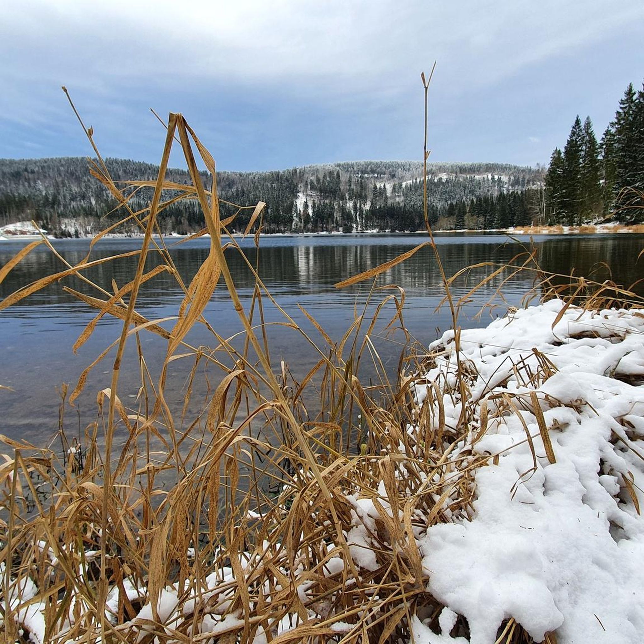
The Thuringian Forest, where Stausee Scheibe-Alsbach is located, is generally best for road cycling from spring through autumn. During these seasons, the weather is more favorable, and the dense forests offer beautiful scenery. Winter cycling might be possible, but conditions can be challenging due to snow and ice, especially on higher elevations.
Are there any specific attractions or viewpoints along the road cycling routes?
While the reservoir itself is a prominent feature, the routes primarily offer scenic views of the Thuringian Forest, its dense woodlands, and tranquil meadows. The Schwarza river valley provides particularly wild and romantic vistas. The nearby town of Neuhaus am Rennweg also serves as a hub, offering local charm.
What do other road cyclists say about the routes around Stausee Scheibe-Alsbach?
The road cycling routes in Stausee Scheibe-Alsbach are highly rated by the komoot community, with an average score of 4.7 stars from over 30 reviews. Cyclists often praise the varied terrain, the beauty of the Thuringian Forest, and the extensive network of paved surfaces that cater to different ability levels.
Is there parking available for road cyclists near the routes?
Yes, the region is generally well-equipped for visitors. Towns like Neuhaus am Rennweg and Scheibe-Alsbach, which serve as common starting points for many routes, typically offer parking facilities. It's advisable to check specific starting points for detailed parking information.
Are there any family-friendly road cycling options in the area?
While the Thuringian Forest offers varied terrain, some of the easier and moderate routes could be suitable for families with older children or those comfortable with longer distances and some elevation. The region's extensive network allows for choosing routes with less challenging profiles. Always check the route details for distance and elevation to ensure it matches your family's capabilities.
Can I find cafes or places for refreshments along the road cycling routes?
The routes often pass through or near traditional towns and villages within the Thuringian Forest, such as Neuhaus am Rennweg. These locations typically offer cafes, restaurants, or guesthouses where you can stop for refreshments and a break during your ride.
What is the longest road cycling route available in this guide?
The longest route featured in this guide is the Lichte Viaduct – View of the Deesbach Pre-Dam loop from Neuhaus am Rennweg. This challenging ride covers approximately 120 km and involves over 2200 meters of elevation gain, typically taking around 6 hours and 20 minutes to complete.
Most popular routes around Stausee Scheibe-Alsbach
Most popular attractions around Stausee Scheibe-Alsbach

Get inspired with the komoot mobile app


Explore more
Browse the best Road cycling routes in other regions.
