The best road cycling routes around Dam Leibis-Lichte
4.7
(58)
940
riders
57
rides
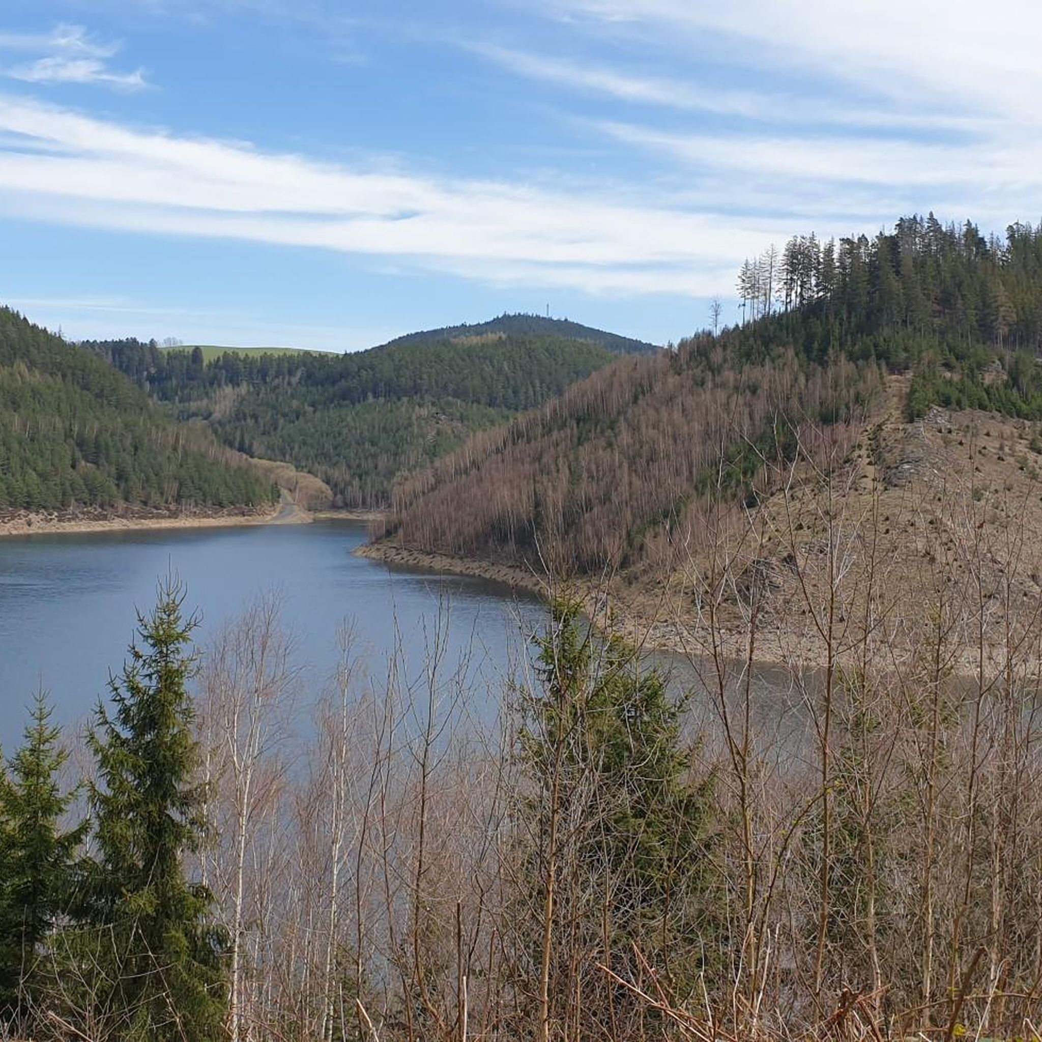
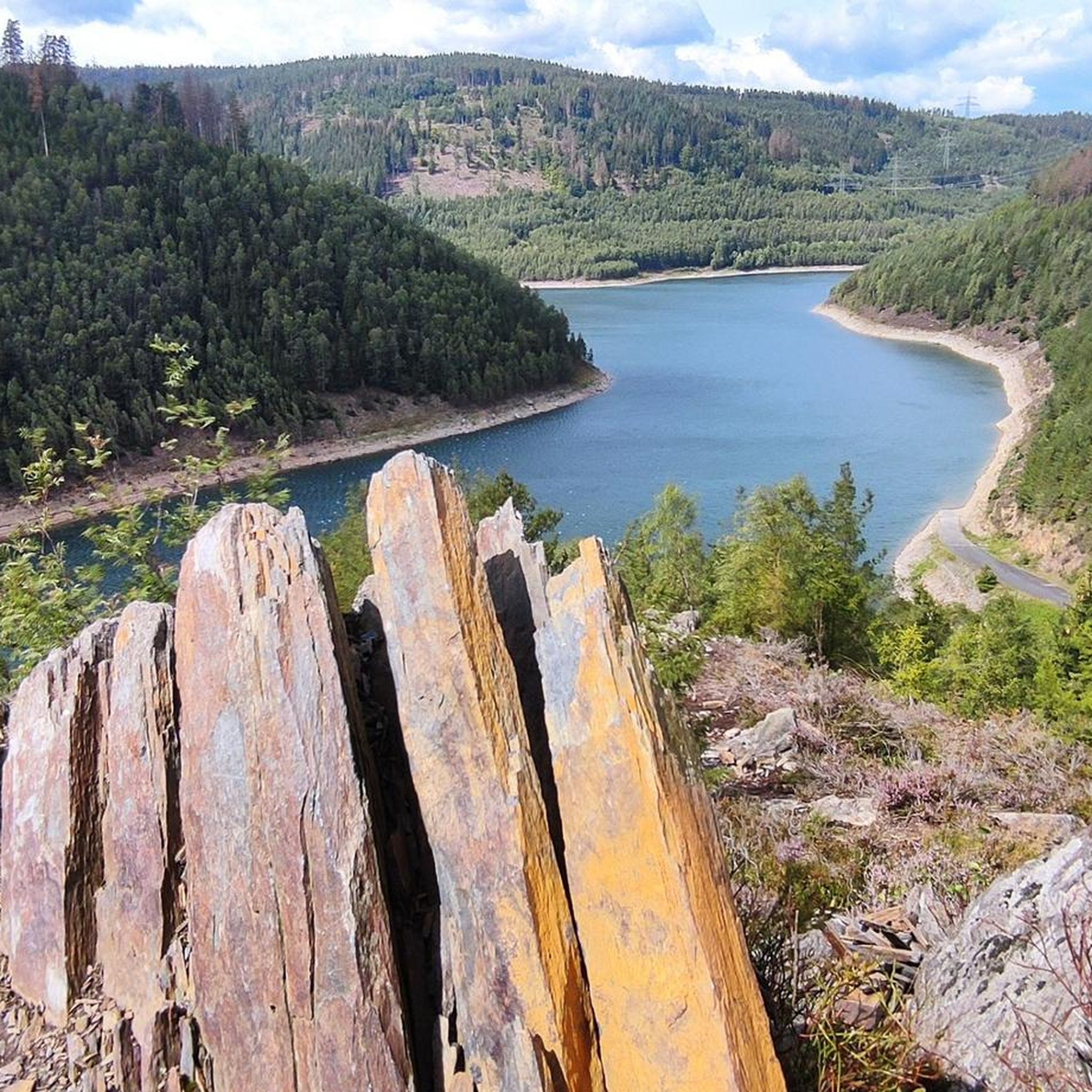
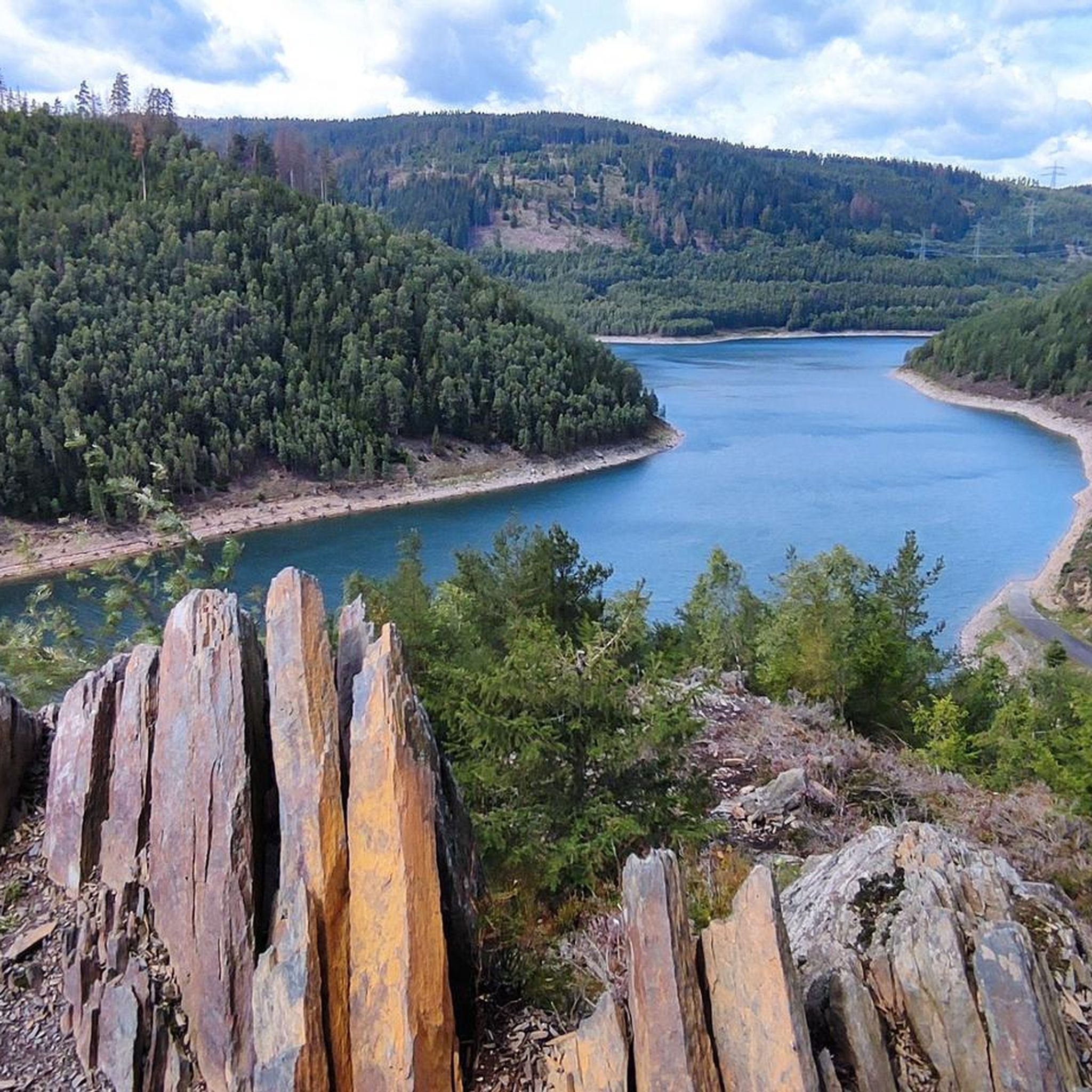
Road cycling routes around Dam Leibis-Lichte are characterized by varied terrain, including the Schwarzatal Valley and surrounding hills. The region features a network of roads that navigate through forested areas and along water bodies, offering diverse gradients for road cyclists. The landscape provides both challenging climbs and more undulating sections, with views of the dam and its pre-dam.
Best road cycling routes around Dam Leibis-Lichte
- The most popular road cycling route is View of the Leibis-Lichte Dam – View of…
Last updated: July 9, 2026
3
riders
Moderate road ride. Good fitness required. Mostly well-paved surfaces and easy to ride.
4.0
(8)
43
riders
Moderate road ride. Great for any fitness level. Some segments of this route may be unpaved and difficult to ride.

Sign up for free
5.0
(2)
31
riders
Moderate road ride. Good fitness required. Mostly well-paved surfaces and easy to ride.
8
riders
56.4km
03:03
930m
930m
Hard road ride. Very good fitness required. Mostly well-paved surfaces and easy to ride.
6
riders
142km
06:59
2,160m
2,160m
Hard road ride. Very good fitness required. Mostly well-paved surfaces and easy to ride.
Get access to more routes and recommendations from other explorers.
Sign up for free
Already have an account?
Our route recommendations are based on thousands of hikes, rides, and runs completed by other people on komoot.
Start today with a free account
Your next adventure awaits.
Login or Signup

Other adventures around Dam Leibis-Lichte

Tips from the Community

This route is recommended for cyclists and hikers. 🙋♂️
1
0

Rarely seen so many birds of prey at once
2
0

Historic site. The first German Constitution was signed here in 1919
0
0
A wonderful valley leading up to the Rennsteig trail. Very pleasant for cycling.
0
0


Craziness...
0
0
Wonderfully quiet along the track 🚆
1
0

Beautiful route at the Hohenwarte
0
0
Frequently Asked Questions
What are the general difficulty levels for road cycling routes around Dam Leibis-Lichte?
The Dam Leibis-Lichte region offers a good mix of road cycling routes. You'll find 27 moderate routes and 31 difficult routes, providing options for various skill levels. There are no easy routes specifically categorized for beginners, but moderate routes can be a good starting point for those with some experience.
Are there challenging road cycling routes for experienced riders in the Dam Leibis-Lichte area?
Yes, experienced road cyclists will find plenty of challenging options. There are 31 difficult routes available, often featuring significant elevation gains and longer distances. For example, the Eichicht Dam and Power Station – Hohenwarte Dam loop from Oberweißbach-Deesbach is a demanding 87.9-mile (141.5 km) route with over 2,100 meters of ascent.
What kind of scenic viewpoints can I expect along the road cycling routes?
The routes around Dam Leibis-Lichte offer numerous scenic viewpoints, often overlooking the dam and the surrounding valleys. You can find spots like the Schneiderfelsen - Touring stamp 169, the Owl Bench — View of the Leibis Reservoir, and the general View of Leibis and Desbach Reservoirs, providing stunning panoramas of the landscape.
Are there any circular road cycling routes available?
Many of the road cycling routes in the Dam Leibis-Lichte region are designed as loops, allowing you to start and finish at the same point. A popular example is the View of the Leibis-Lichte Dam – View of the Deesbach Pre-Dam loop from Deesbach, a moderate 13.0-mile (21.0 km) route that offers great views of the dam.
What is the best time of year for road cycling around Dam Leibis-Lichte?
The best time for road cycling around Dam Leibis-Lichte is typically from spring through autumn (April to October). During these months, the weather is generally milder, and the roads are clear of snow and ice, offering ideal conditions to enjoy the forested areas and dam views. Always check local weather forecasts before heading out.
Are there any routes that pass by waterfalls?
Yes, some routes in the region incorporate natural features like waterfalls. The Schwarzatal Valley – Chrysopraswehr Waterfall loop from Sitzendorf-Unterweißbach is a moderate 16.6-mile (26.7 km) route that takes you through the scenic Schwarzatal Valley and past the Chrysopraswehr Waterfall.
What do other road cyclists enjoy most about the Dam Leibis-Lichte area?
The Dam Leibis-Lichte region is highly rated by the komoot community, with an average score of 4.7 stars from over 50 reviews. Road cyclists often praise the varied terrain, including the scenic Schwarzatal Valley, the impressive dam views, and the quiet forested hills. The network of roads provides options for different ability levels, making it a popular destination.
Are there any historical or man-made landmarks to see along the routes?
Beyond natural beauty, you can encounter several man-made landmarks. The Leibis-Lichte Dam itself is a significant structure. You might also pass by the Kümmerling Memorial Stone – Founding Site, offering a glimpse into local history.
Are there any less crowded road cycling routes in the region?
While the main routes are popular, the Dam Leibis-Lichte area has a network of 58 routes, offering many options to explore. To find less crowded paths, consider exploring some of the longer or more difficult routes, as these tend to attract fewer riders. Early mornings or weekdays can also provide a more tranquil experience.
Can I find cafes or pubs along the road cycling routes for a break?
The villages and towns scattered throughout the Dam Leibis-Lichte region and the Schwarzatal Valley often have local cafes, bakeries, or pubs where you can stop for refreshments. While specific establishments aren't listed in route details, planning your route through these settlements will provide opportunities for a break.
Are there any road cycling routes that explore the Schwarzatal Valley?
Yes, the Schwarzatal Valley is a prominent feature of the region's road cycling landscape. Routes like the Schwarzatal Valley – Bike Path to Saalfeld loop from Sitzendorf-Unterweißbach, a 32.0-mile (51.5 km) route, offer extensive exploration of this scenic valley.
What is the longest road cycling route available in the Dam Leibis-Lichte area?
For those seeking a long-distance challenge, the Eichicht Dam and Power Station – Hohenwarte Dam loop from Oberweißbach-Deesbach stands out. This difficult route covers an impressive 87.9 miles (141.5 km) and features over 2,100 meters of elevation gain, making it a significant undertaking.
Most popular routes around Dam Leibis-Lichte
Most popular attractions around Dam Leibis-Lichte

Get inspired with the komoot mobile app


Explore more
Browse the best Road cycling routes in other regions.
