The best road cycling routes around Dam Vippachedelhausen
4.5
(34)
309
riders
17
rides
Road cycling routes around Dam Vippachedelhausen offer a diverse landscape within Germany's Weimarer Land region. The area features a mix of flat stretches along river valleys and rolling hills, providing varied terrain for road cyclists. Well-maintained and signposted cycling paths connect picturesque villages and natural features, including the Vippachedelhausen Reservoir. This infrastructure supports routes ranging from easy to moderate difficulty, catering to different fitness levels.
Best road cycling routes around Dam Vippachedelhausen
- The most popular road cycling route is Gramme…
Last updated: July 8, 2026
5.0
(2)
9
riders
52.7km
02:08
220m
220m
Moderate road ride. Good fitness required. Some segments of this route may be unpaved and difficult to ride.
5.0
(4)
3
riders
Easy road ride. Great for any fitness level. Mostly well-paved surfaces and easy to ride.

Sign up for free
14
riders
28.5km
01:20
310m
310m
Moderate road ride. Good fitness required. Some segments of this route may be unpaved and difficult to ride.
6
riders
53.6km
02:26
510m
510m
Moderate road ride. Good fitness required. Some segments of this route may be unpaved and difficult to ride.
33
riders
34.3km
01:28
130m
130m
Moderate road ride. Great for any fitness level. Some segments of this route may be unpaved and difficult to ride.
Get access to more routes and recommendations from other explorers.
Sign up for free
Already have an account?
Our route recommendations are based on thousands of hikes, rides, and runs completed by other people on komoot.
Start today with a free account
Your next adventure awaits.
Login or Signup
Popular around Dam Vippachedelhausen
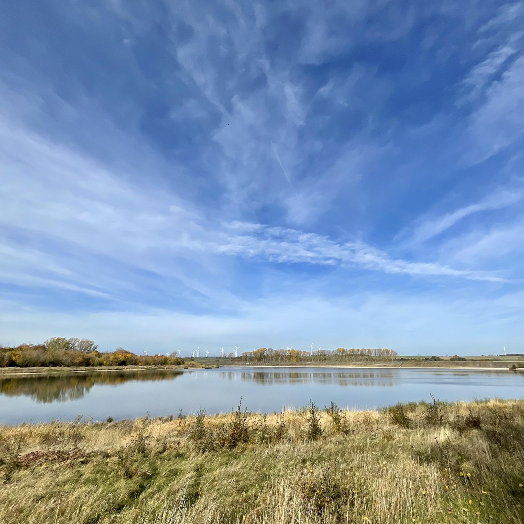
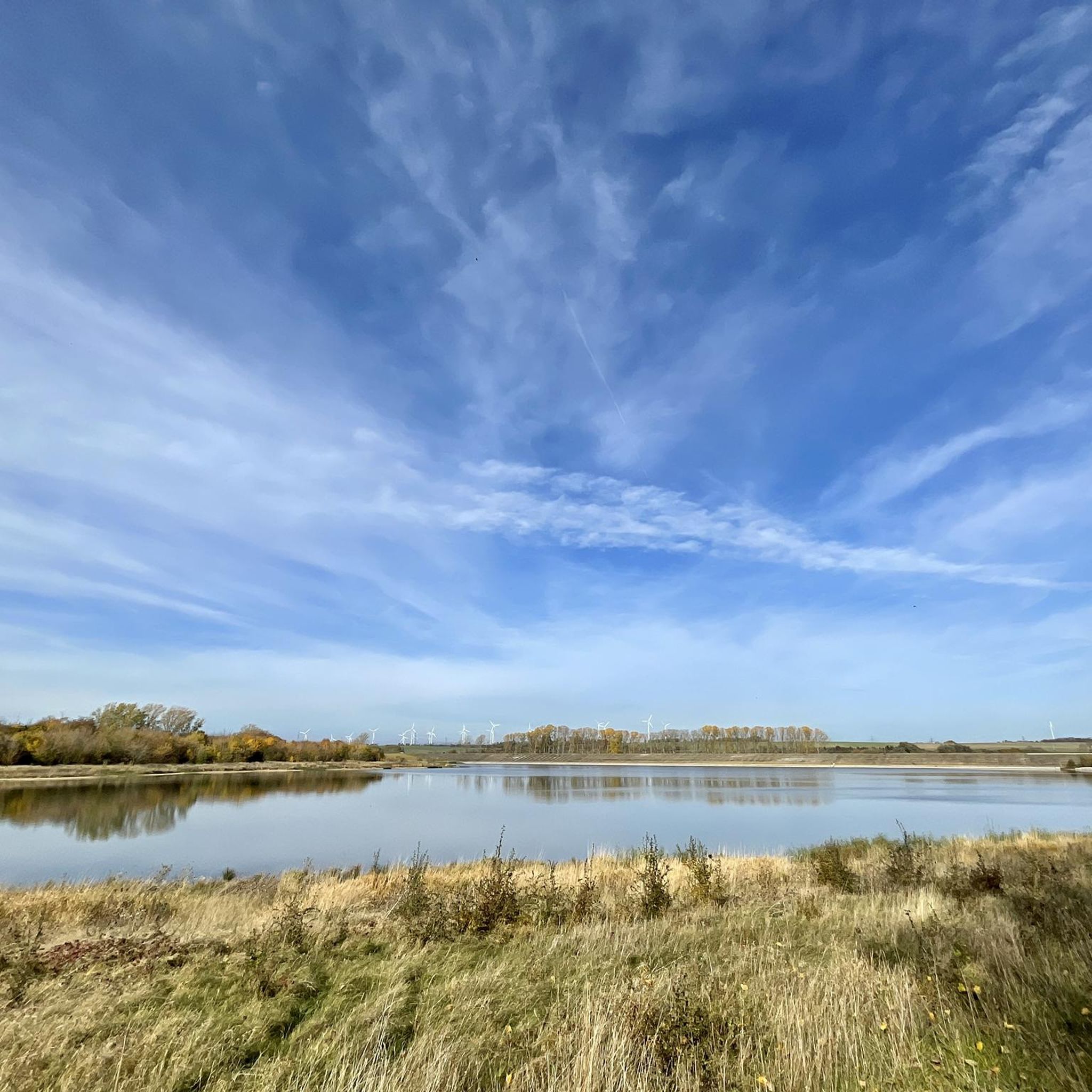
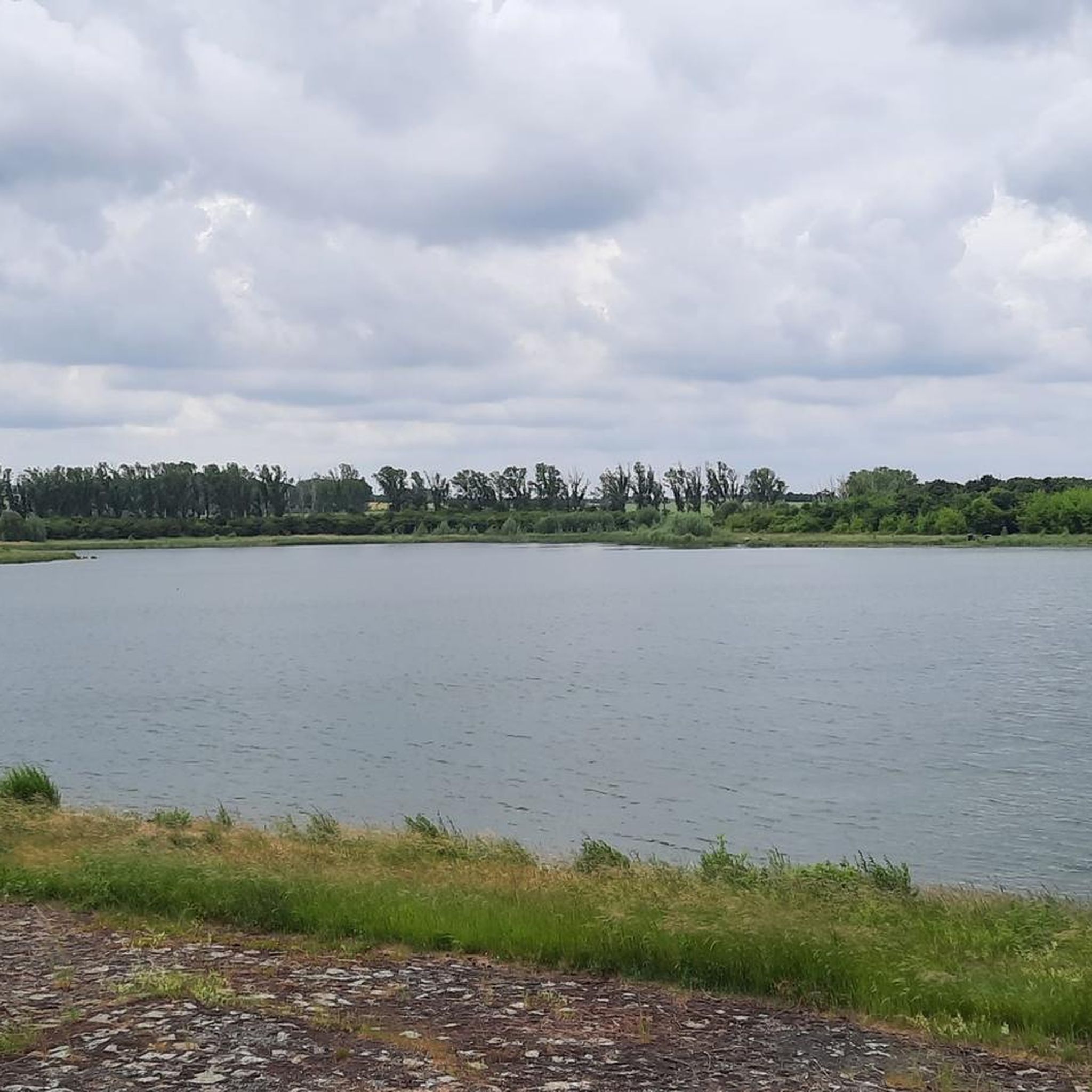
Tips from the Community

wonderful to ride, unreservedly recommended!
0
0

A beautiful and sometimes busy cycle path, which is also not particularly wide.
0
0
A beautiful and relaxing cycle path with expansive views.
0
0

You can take a shortcut there and avoid car traffic. It's not strictly legal, though.
0
0

Well-paved agricultural road/cycle path between Schloßvipach and Rohrborn
0
0
A hall church from 1744 on the site of a medieval predecessor church. West tower
0
0
Manor house built in the Neo-Renaissance style between 1882 and 1883
0
0
A hall church dating from 1769-1771. The east tower with a pointed roof dates from 1827. The interior features late Baroque furnishings. A remarkable baptismal angel from the 18th century. Tours are available by appointment.
0
0
Frequently Asked Questions
What kind of terrain can I expect on road cycling routes around Dam Vippachedelhausen?
The region offers a diverse landscape for road cyclists. You'll find a mix of flat stretches, particularly along picturesque river valleys like the Ilmtal, and rolling hills. While not alpine, some routes, such as those near Bad Berka, offer more challenging ascents with rewarding views over the Thuringian Basin.
How many road cycling routes are available in the Dam Vippachedelhausen area?
There are nearly 20 road cycling routes available around Dam Vippachedelhausen, catering to various preferences. These routes are highly rated by the komoot community, with an average score of 4.3 stars from over 30 reviews.
Are there any easy road cycling routes suitable for beginners or leisurely rides?
Yes, the area offers several easy routes. For instance, the St. Stephanus Church, Eckstedt – Water Fountain with Bench loop from Berlstedt is an easy 40 km path that winds through the region, offering scenic views and passing local landmarks.
What are some notable landmarks or attractions I can see while road cycling in the region?
The Weimarer Land is rich in history and culture. Many routes pass by charming villages, historic sites, and natural features. The Ilmtal Cycle Route, for example, leads past castles, palaces, and historic mills. You can also explore areas near Weimar with UNESCO World Heritage sites, the Bauhaus Museum, Schloss Tiefurt, and Park an der Ilm.
Are there any challenging road cycling routes for more experienced riders?
While the immediate area is characterized by rolling hills, the broader Weimarer Land offers routes with more significant climbs. For example, the ascent to Buchbergstraße near Bad Berka is known for its 'tough climbs' and 'steep serpentines', providing a good challenge for experienced cyclists.
What is the best time of year for road cycling around Dam Vippachedelhausen?
The region is generally pleasant for cycling from spring through autumn. The well-maintained paths and diverse landscapes are enjoyable in milder weather, allowing you to fully appreciate the natural beauty and cultural sites.
Are there any circular road cycling routes available?
Yes, many routes in the area are designed as loops, allowing you to start and end in the same location. An example is the Gramme Ford Near Vieselbach – Erfurter Allee ICE Bridge loop from Berlstedt, a moderate 52.8 km route.
Can I find routes that offer good viewpoints or scenic vistas?
Absolutely. The rolling hills and diverse landscapes provide numerous opportunities for scenic views. Routes that include ascents, such as those leading to higher elevations in the Weimarer Land, often reward cyclists with panoramic vistas over the Thuringian Basin and picturesque villages.
What do other road cyclists enjoy most about the routes near Dam Vippachedelhausen?
The area is highly rated by the komoot community, with an average score of 4.3 stars. Cyclists often praise the well-maintained and signposted paths, the mix of idyllic river landscapes and rolling hills, and the charming villages encountered along the way.
Are there any longer road cycling routes for endurance training?
For those seeking longer distances, routes like the Village Church Wohlsborn – Path Along the Railway loop from Berlstedt offer substantial mileage, covering over 53 km with varied elevation, making them suitable for longer rides.
Are there road cycling routes that pass by the Vippachedelhausen Reservoir?
Yes, the Vippachedelhausen Reservoir is a local natural feature that is integrated into various cycling routes. You can find opportunities for leisurely rides around its perimeter, making it a tranquil focal point for local outdoor activities.
What is the typical elevation gain on road cycling routes in this area?
The elevation gain varies depending on the route. Many easy to moderate routes feature rolling hills with manageable ascents, often ranging from 100 to 300 meters of elevation gain. More challenging routes can involve greater climbs, such as the Buchenwald Memorial loop from Berlstedt, which includes over 300 meters of ascent.
Most popular routes around Dam Vippachedelhausen

Get inspired with the komoot mobile app


Explore more
Browse the best Road cycling routes in other regions.
