The best road cycling routes around Iso Tiilijärvi
4.1
(40)
3,312
riders
99
rides
Road cycling routes around Iso Tiilijärvi traverse an area shaped by Ice Age-formed landscapes, including the distinctive Salpausselkä ridges. The region features varied elevations and rolling countryside roads, offering diverse terrain for cyclists. Clearwater lakes and extensive coniferous forests characterize the natural environment, providing scenic backdrops for rides. This area, part of the Lahti and Salpausselkä UNESCO Global Geopark, offers a network of roads suitable for road cycling.
Best road cycling routes around Iso Tiilijärvi
- The most popular road cycling…
Last updated: July 2, 2026
5.0
(1)
71
riders
48.6km
02:04
300m
300m
Moderate road ride. Good fitness required. Mostly well-paved surfaces and easy to ride.
11
riders
48.1km
01:59
290m
290m
Moderate road ride. Great for any fitness level. Some segments of this route may be unpaved and difficult to ride.

Sign up for free
7
riders
56.4km
02:21
360m
360m
Moderate road ride. Good fitness required. Some segments of this route may be unpaved and difficult to ride.
4
riders
58.2km
02:23
330m
330m
Moderate road ride. Good fitness required. Mostly well-paved surfaces and easy to ride.
4
riders
46.2km
01:54
260m
260m
Moderate road ride. Great for any fitness level. Some segments of this route may be unpaved and difficult to ride.
Get access to more routes and recommendations from other explorers.
Sign up for free
Already have an account?
Our route recommendations are based on thousands of hikes, rides, and runs completed by other people on komoot.
Start today with a free account
Your next adventure awaits.
Login or Signup
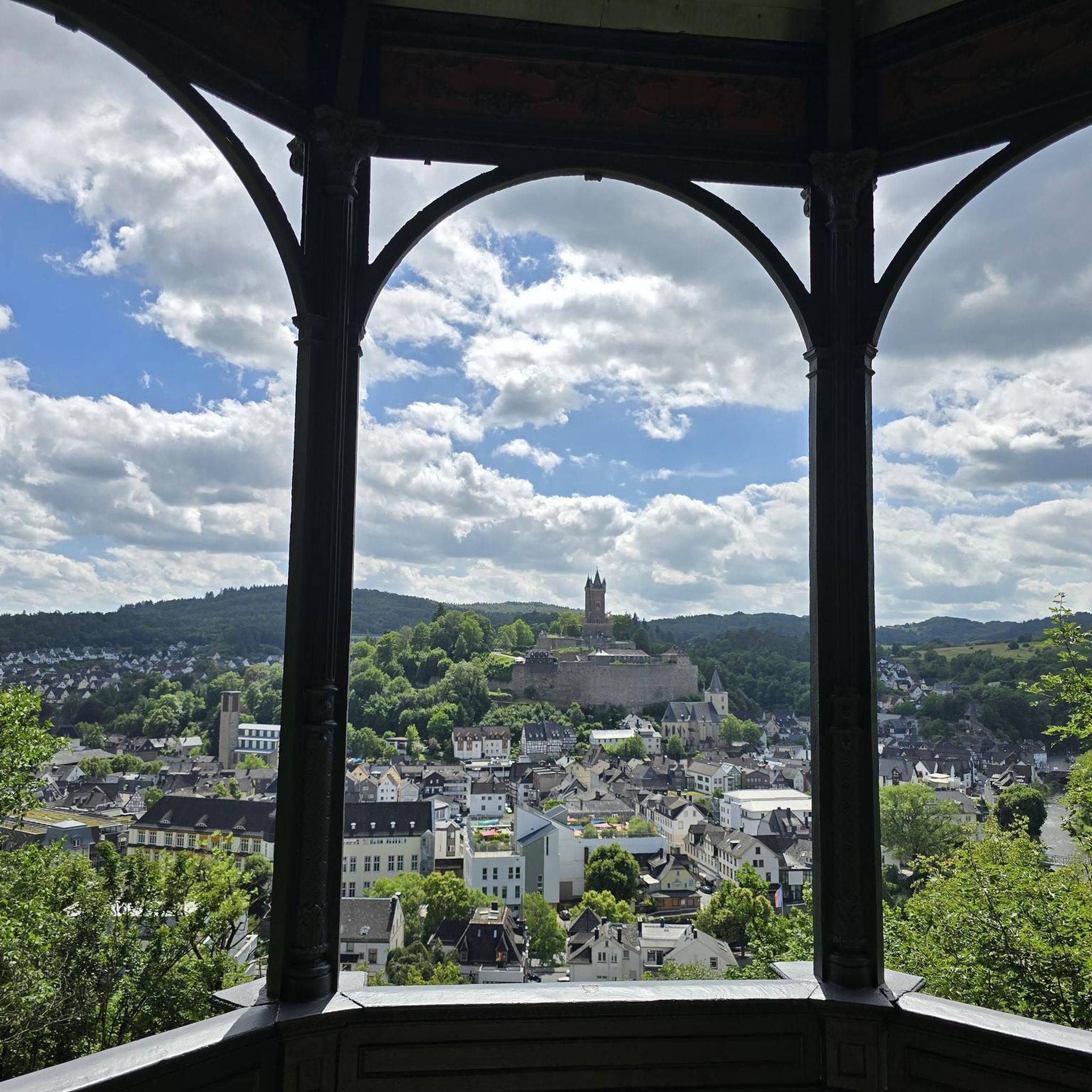
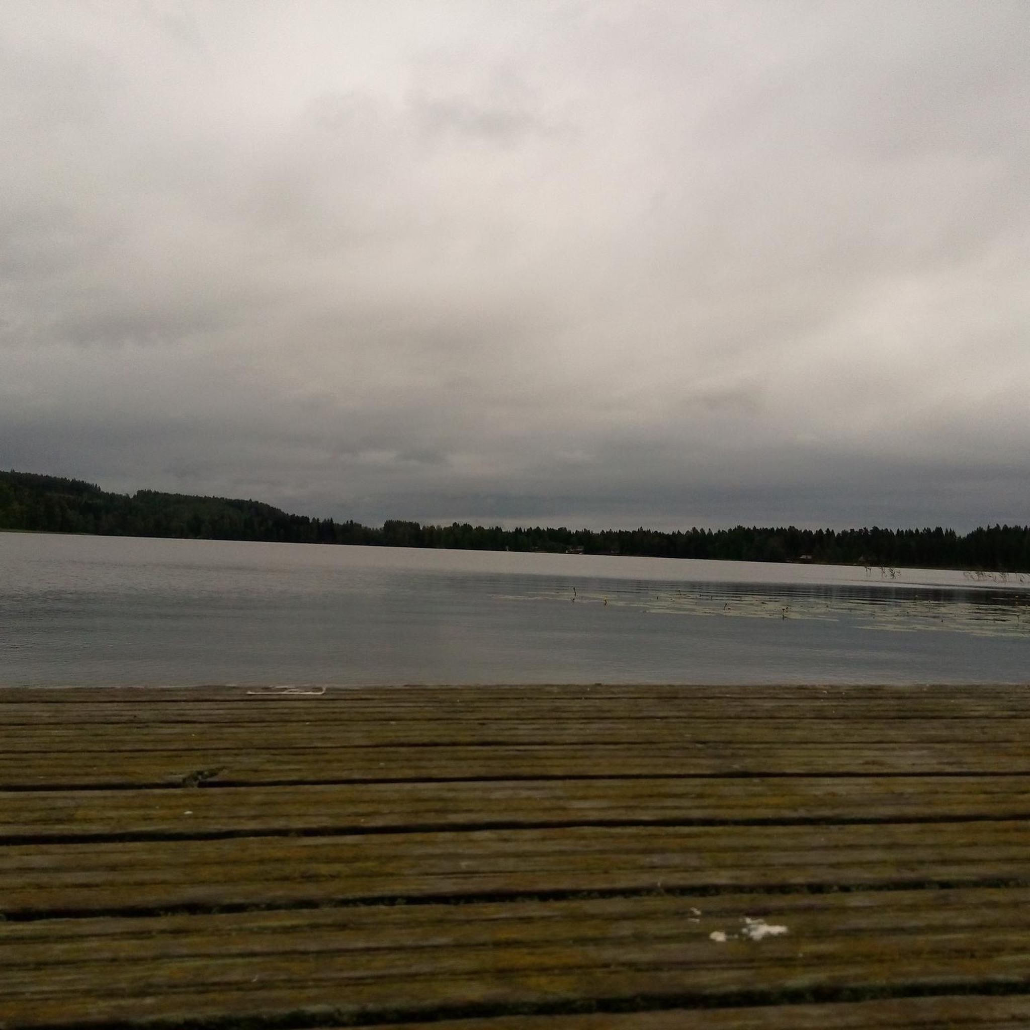
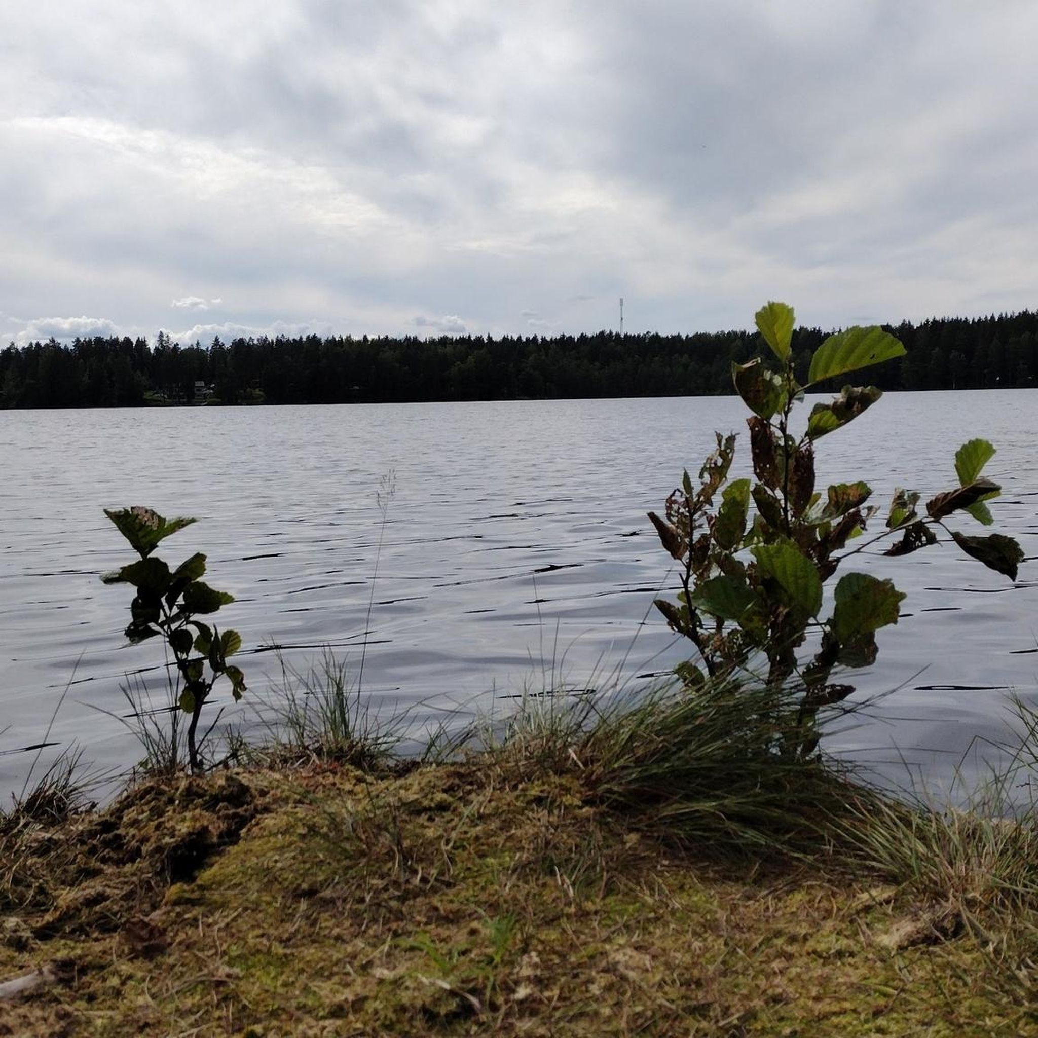

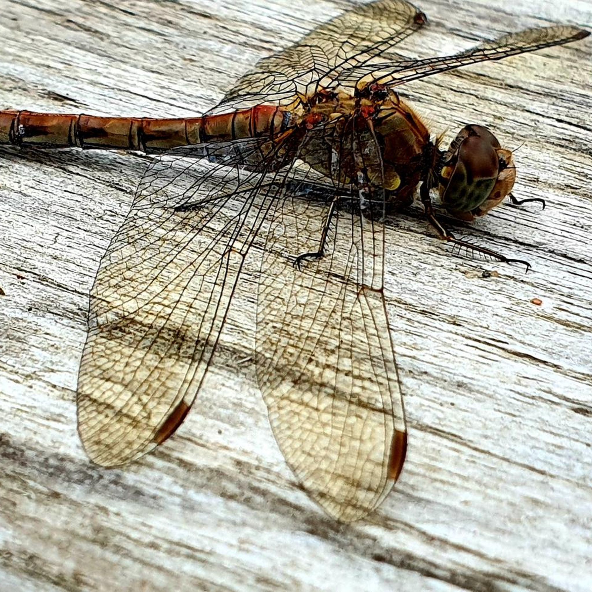
Tips from the Community

nice little shortcut that avoids having to climb to the top of the ridge plus a few traffic lights as well, a bit of leftover railway infrastructure (alignment of the old narrow-gauge railway between Vesijärvi and Loviisa)
0
0
not much traffic, flat to gently rolling, okay asphalt with some cracks and a few potholes but nothing major
0
0
not much traffic, flat except for a railway overpass, good asphalt
0
0
okay bike path (not that the roadway is too busy either), no cross traffic, fairly flat, okay asphalt, switches sides unnecessarily at the southern end and ends right after that so don’t bother with that
0
0

pretty good path running alongside the former highway, good asphalt but almost no signage, this is probably the alternative with the least amount of climbing in the Lahti end
0
0
Frequently Asked Questions
What is the typical terrain like for road cycling around Iso Tiilijärvi?
The region around Iso Tiilijärvi, part of the Salpausselkä UNESCO Global Geopark, is characterized by varied elevations and rolling countryside roads. These landscapes were shaped by the Ice Age, offering an engaging backdrop for cyclists with both undulating sections and some flatter areas. You'll find good asphalt surfaces on regional roads, making for a pleasant road cycling experience.
Are there challenging climbs for road cyclists in the Iso Tiilijärvi area?
Yes, the Ice Age-formed Salpausselkä ridges contribute to varied elevations, meaning you will encounter some challenging climbs. For example, the route Lahti–Villähde Bike Path – Van Brew loop from Hollola features over 300 meters of elevation gain over its 48.5 km distance, providing a moderate challenge.
Are there easy road cycling routes suitable for beginners or families around Iso Tiilijärvi?
Yes, there are several easy road cycling routes. For instance, the Hollola Church Village – Rantatie loop from Hollola is an easy 29.6 km path with less elevation gain, offering a pleasant ride through the Hollola area. Overall, about 21 of the routes in the area are rated as easy.
What natural features or landmarks can I expect to see while road cycling?
Road cycling routes in the Iso Tiilijärvi area often showcase the region's distinctive natural beauty. You can expect to see clearwater lakes, extensive coniferous forests, and the unique Ice Age-formed Salpausselkä ridges. Some routes, like the Hollola-Messilä-Hollola, offer views of Lake Vesijärvi and pass by the historic medieval stone church of Hollola, as well as Tiirismaa, the highest point in Southern Finland.
What is the best time of year for road cycling around Iso Tiilijärvi?
The best time for road cycling around Iso Tiilijärvi is typically during the spring, summer, and autumn months when the weather is milder and the roads are clear of snow and ice. These seasons offer the most pleasant conditions to enjoy the scenic routes and natural landscapes.
Is parking available for road cyclists near the routes?
While specific parking locations for road cycling routes are not detailed in the provided data, the region is generally accessible. For routes starting in Hollola or Vanhatalo, you can typically find parking in or near these villages. It's advisable to check local parking options for your chosen starting point.
Can I reach Iso Tiilijärvi by public transport with my bike?
Public transport options to Iso Tiilijärvi with a bike may be limited. While the Lahti region has a public transport network, policies regarding bikes on buses or trains can vary. It's recommended to check with local public transport providers in the Lahti area for their specific regulations on carrying bicycles.
Are there any permits required for road cycling in the Iso Tiilijärvi area?
Generally, no specific permits are required for road cycling on public roads in Finland. You are free to cycle on designated roads and cycling lanes. However, if you venture onto private land or specific nature reserves, always respect local regulations and signage.
What do other road cyclists enjoy the most about road cycling in Iso Tiilijärvi?
The area is highly rated by the komoot community, with an average score of 4.1 stars from over 40 reviews. Reviewers often praise the varied terrain, the scenic views of lakes and forests, and the well-maintained regional roads that make for an enjoyable road cycling experience. Over 3500 road cyclists have used komoot to explore this region.
Are there any long-distance road cycling options in the area?
Yes, the region offers routes that cater to longer rides. For example, the Tenniläntie – Nostavantie Bike Path loop from Vanhatalo covers nearly 58.2 km, and the Herralantie – Nostavantie Bike Path loop from Vanhatalo is over 55.2 km, providing good options for those looking for more extensive tours.
Are there any circular road cycling routes available?
Yes, many of the road cycling routes around Iso Tiilijärvi are designed as loops, offering convenient circular tours. Examples include the Lahti–Villähde Bike Path – Van Brew loop from Hollola and the Hollola Church Village – Rantatie loop from Hollola, allowing you to start and end at the same point.
Can I find cafes or restaurants along the road cycling routes?
While specific cafes or restaurants directly on every route are not detailed, the routes often pass through or near villages like Hollola and Vanhatalo. These areas typically offer amenities where you can find places to eat or grab a coffee. It's a good idea to plan your stops in advance, especially on longer rides.
Most popular routes around Iso Tiilijärvi

Get inspired with the komoot mobile app


Explore more
Browse the best Road cycling routes in other regions.
