The best road cycling routes around Dällikon
4.5
(1819)
36,052
riders
400
rides
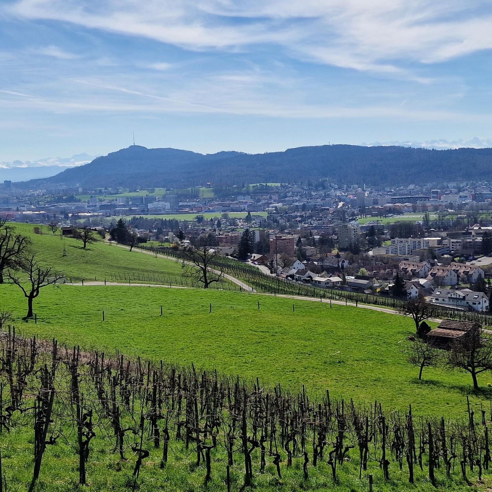
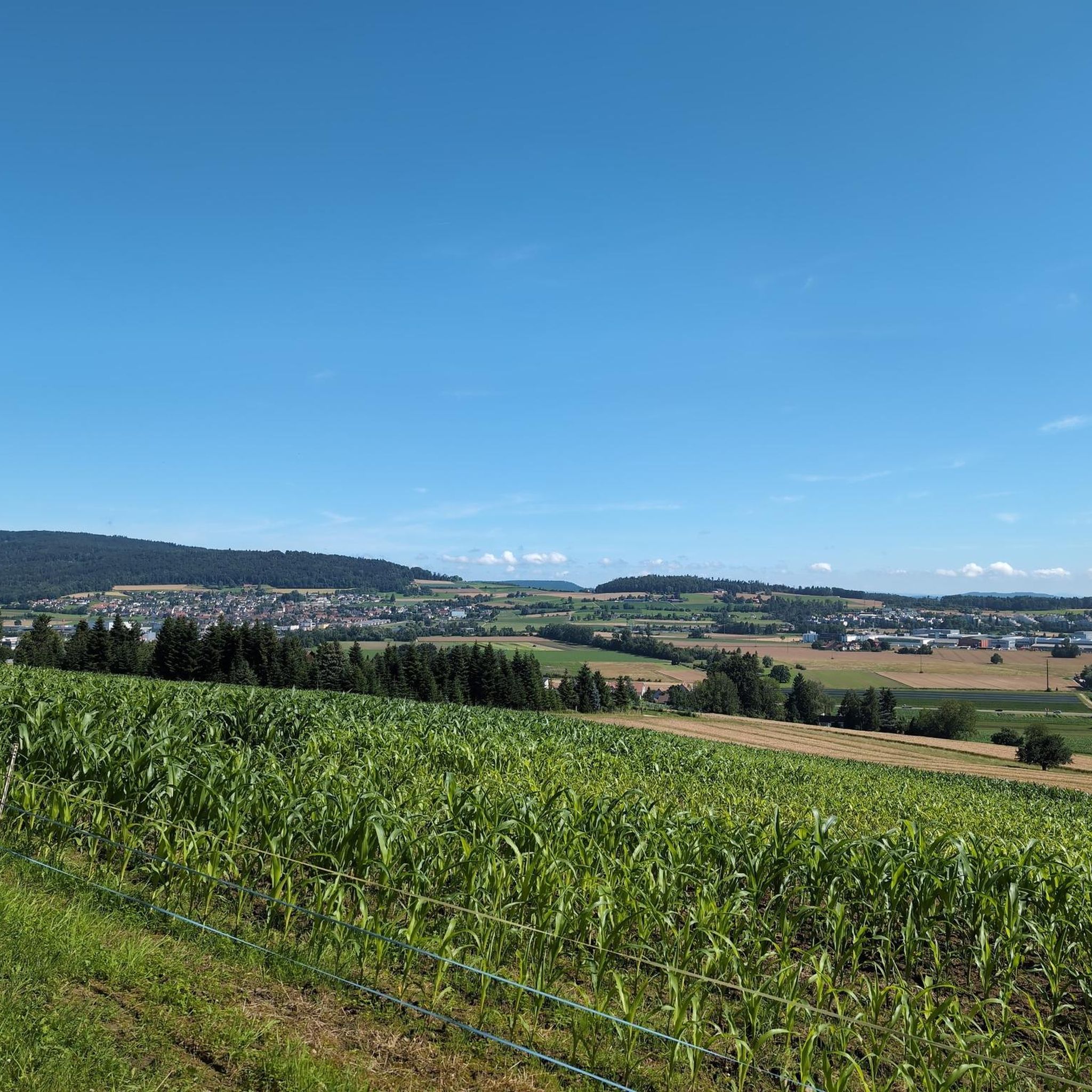
Road cycling around Dällikon offers diverse terrain, situated in the Furttal valley and against the northern flank of the Altberg hill. The region features a mix of flatter valley routes and more challenging ascents into the surrounding hills. Significant forested areas and agricultural land provide scenic roads winding through natural landscapes. With an average elevation of 471 meters and a maximum of 623 meters, Dällikon provides varied topography for road cyclists.
Best road cycling routes around Dällikon
- The most popular…
Last updated: July 8, 2026
5.0
(1)
56
riders
Easy road ride. Great for any fitness level. Mostly well-paved surfaces and easy to ride.
4.7
(9)
43
riders
32.0km
01:32
250m
250m
Moderate road ride. Great for any fitness level. Some segments of this route may be unpaved and difficult to ride.

Sign up for free
20
riders
68.8km
03:26
900m
900m
Moderate road ride. Good fitness required. Mostly well-paved surfaces and easy to ride.
3.0
(1)
16
riders
14.7km
00:47
240m
240m
Easy road ride. Great for any fitness level. Mostly well-paved surfaces and easy to ride.
13
riders
Moderate road ride. Good fitness required. Some segments of this route may be unpaved and difficult to ride.
Get access to more routes and recommendations from other explorers.
Sign up for free
Already have an account?
Our route recommendations are based on thousands of hikes, rides, and runs completed by other people on komoot.
Start today with a free account
Your next adventure awaits.
Login or Signup
Tips from the Community

A pleasantly wonderful ascent
1
0

Beautiful, cozy village with a Volg in the core and some rustic buildings.
0
0

A welcome lift to the town saves you some elevation gain after a long hike. Free of charge.
0
0

Beautiful cycle path with great views
0
0

Super nice corner for biking
0
0
Great route, it's really fun to drive up here...
0
0
Great cycle path, super beautiful region
0
0
Frequently Asked Questions
How many road cycling routes are available around Dällikon?
There are over 400 road cycling routes around Dällikon, offering a wide range of options for different skill levels. This includes approximately 60 easy routes, over 220 moderate routes, and around 130 challenging routes.
What kind of terrain can I expect when road cycling in Dällikon?
Dällikon's terrain is quite varied, situated in the Furttal valley and against the northern flank of the Altberg. You'll find a mix of flatter valley roads, challenging ascents into the surrounding hills, and scenic routes winding through extensive forested areas and agricultural land. Elevations range from an average of 471 meters to a maximum of 623 meters, providing a dynamic cycling experience.
Are there any scenic viewpoints or landmarks to look out for on road cycling routes in Dällikon?
Yes, the region offers several scenic spots. The Altberg features an observation tower with extensive views of the Alps and the Black Forest, which can be a rewarding destination after a climb. The nearby Lägerngrat Ridge, while primarily for hiking, signifies a landscape with picturesque views over the Mittelland. You might also pass by the tranquil Egelsee. For specific routes, consider the Regensberg – View of Regensberg loop from Buchs-Dällikon for views of Regensberg, or the View of Regensberg – Best view of Regensberg loop from Buchs-Dällikon.
Are there family-friendly road cycling routes in Dällikon?
While road cycling often involves shared roads, Dällikon does offer easy routes that could be suitable for families with older children or those comfortable with road cycling. The The wooden bridge in Baden – Triebguet Open-Air Bar loop from Buchs-Dällikon is an easy, 13.8-mile (22.2 km) route that includes a scenic loop and the historic wooden bridge in Baden, which might be a good option for a family outing.
What do other road cyclists enjoy most about cycling in Dällikon?
The road cycling routes in Dällikon are highly rated by the komoot community, with an average score of 4.5 stars from over 1,600 reviews. Cyclists often praise the varied terrain, which includes both valley roads and hillside climbs, as well as the picturesque scenery through woodlands and agricultural land. The network offers options for all ability levels, from easy loops to more challenging long-distance rides.
Are there any circular road cycling routes around Dällikon?
Yes, many of the road cycling routes around Dällikon are designed as loops. For example, the popular Baden City Tower – The wooden bridge in Baden loop from Buchs-Dällikon is a moderate 19.9-mile (32.0 km) circular path that offers a mix of urban and natural scenery. Another option is the Neeracherried Nature Reserve – Asphalt Cycle Path Near Zurich loop from Buchs-Dällikon, a moderate 50 km route.
What is the best time of year for road cycling in Dällikon?
The region's varied topography and natural beauty make it enjoyable for road cycling during most of the year, particularly from spring through autumn. The forested areas and agricultural lands provide pleasant scenery. While specific conditions vary, the warmer months generally offer the most comfortable and accessible cycling conditions.
Can I access road cycling routes in Dällikon using public transport?
Dällikon is part of the broader Zurich canton, which generally has good public transport infrastructure. While specific bike access policies for trains and buses should be checked with local operators, many Swiss public transport options allow bikes, often with a special ticket or during off-peak hours. This can be a convenient way to reach starting points or extend your cycling range.
Are there any cafes or places to stop for refreshments along the road cycling routes?
Given the mix of urban and rural landscapes, you will likely find opportunities for refreshment stops. Routes that pass through towns like Baden, such as The wooden bridge in Baden – Triebguet Open-Air Bar loop from Buchs-Dällikon, will offer cafes and restaurants. Even in more rural areas, you might encounter local establishments. It's always a good idea to check your route beforehand for specific points of interest.
What nearby attractions can I combine with a road cycling trip in Dällikon?
Beyond the cycling itself, you can explore several attractions. The Altberg Observation Tower offers panoramic views. For a cultural stop, the historic Baden Old Town and its iconic Wooden Bridge are accessible. Further afield, the Uetliberg Summit Viewpoint and Uetliberg Observation Tower and the Uto Kulm Restaurant near Zurich provide stunning vistas and can be a challenging cycling destination.
Is Dällikon suitable for challenging road cycling routes?
Absolutely. While Dällikon offers easy and moderate routes, there are also around 130 difficult routes for experienced road cyclists. The region's varied topography, including ascents into the Altberg and Lägerngrat areas, provides ample opportunities for challenging climbs and longer distances. The Regensberg – View of Regensberg loop from Buchs-Dällikon, at 42.7 miles (68.8 km) with significant elevation gain, is an example of a more demanding ride.
Are there any specific guidelines for road cycling with dogs in Dällikon?
Road cycling with dogs, especially on public roads, requires careful consideration for safety. While Dällikon has many natural areas, the focus of road cycling is on paved surfaces and shared roads. If you plan to bring a dog, ensure it is well-trained, accustomed to cycling alongside a bike, and always kept on a leash or in a secure trailer. For off-road activities with dogs, you might find more suitable options in the region's hiking or gravel biking trails.
Most popular attractions around Dällikon

Get inspired with the komoot mobile app


Explore more
Browse the best Road cycling routes in other regions.
