Hyalite-Porcupine-Buffalo Horn Wilderness Study Area
Hyalite-Porcupine-Buffalo Horn Wilderness Study Area
The best running trails in Hyalite-Porcupine-Buffalo Horn Wilderness Study Area
32
runners
7
runs
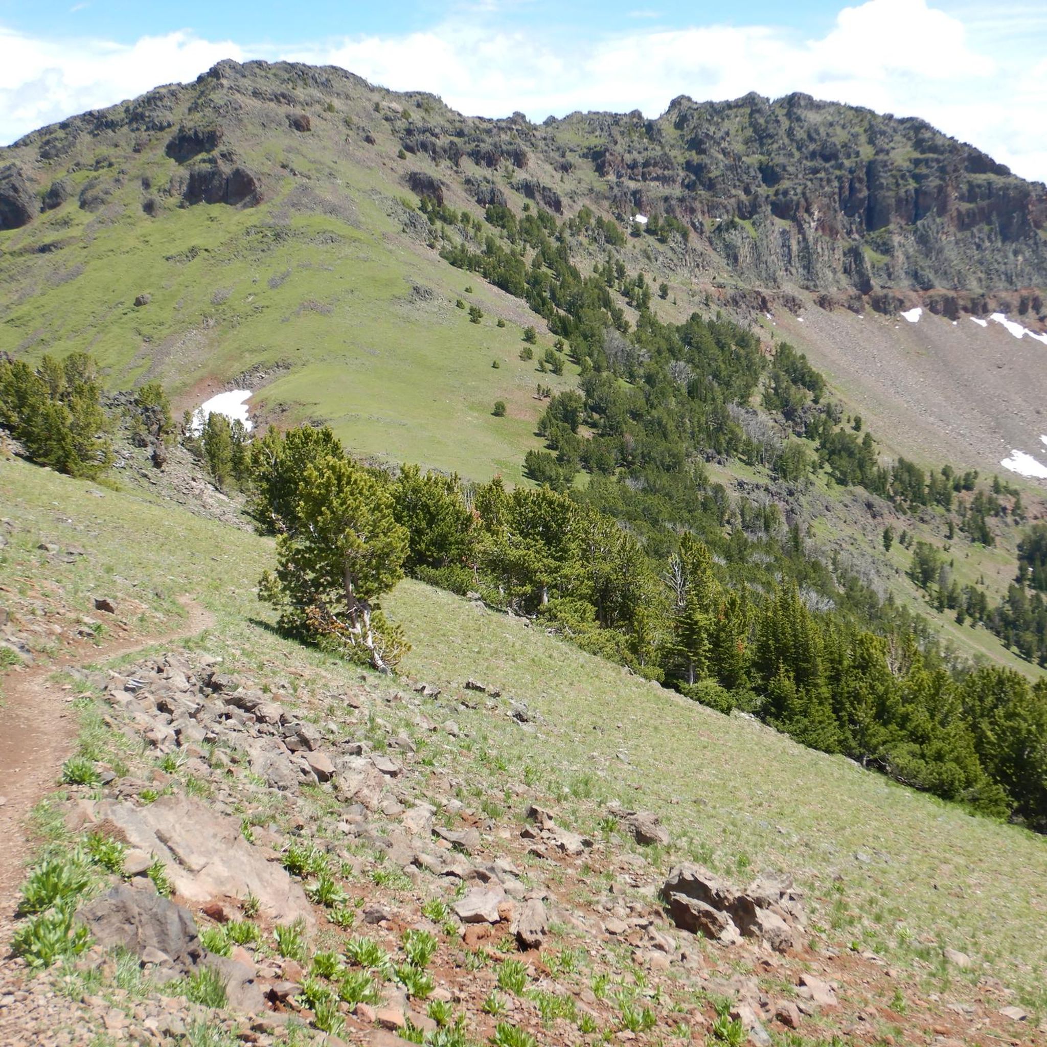
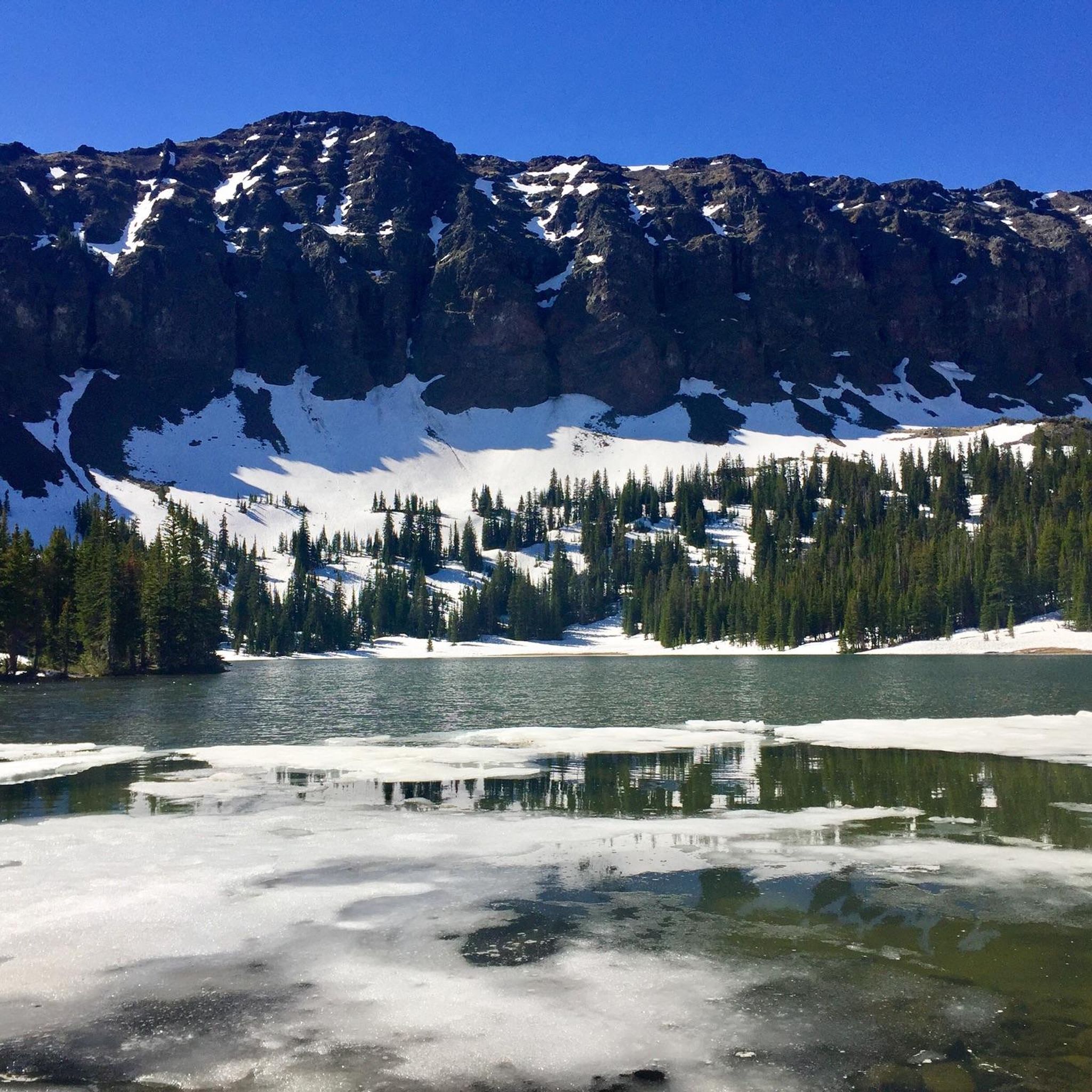
Jogging in Hyalite-Porcupine-Buffalo Horn Wilderness Study Area offers a network of trails through a protected natural landscape. The region is characterized by its undeveloped terrain, featuring forests, open meadows, and varied elevations suitable for running. These routes provide opportunities to experience the area's natural environment.
Best jogging routes in Hyalite-Porcupine-Buffalo Horn Wilderness Study Area
- The most popular jogging route is Hyalite Reservoir loop from Middle Creek Dam, a 5.3 miles (8.5 km) trail that takes 58 minutes to complete.…
Last updated: July 8, 2026
6
runners
5.79km
00:36
60m
60m
Moderate run. Good fitness required. Mostly paved surfaces. Suitable for all skill levels.
7
runners
8.51km
00:58
80m
80m
Moderate run. Good fitness required. Mostly paved surfaces. Suitable for all skill levels.

Sign up for free
7
runners
8.63km
00:59
90m
90m
Moderate run. Good fitness required. Mostly paved surfaces. Suitable for all skill levels.
9
runners
6.71km
00:44
80m
80m
Moderate run. Good fitness required. Mostly paved surfaces. Suitable for all skill levels.
4
runners
5.85km
00:37
70m
70m
Moderate run. Good fitness required. Mostly paved surfaces. Suitable for all skill levels.
Get access to more routes and recommendations from other explorers.
Sign up for free
Already have an account?
Our route recommendations are based on thousands of hikes, rides, and runs completed by other people on komoot.
Start today with a free account
Your next adventure awaits.
Login or Signup
Popular around Hyalite-Porcupine-Buffalo Horn Wilderness Study Area
Tips from the Community

Ousel Falls Trail in Big Sky offers a short, scenic hike along the South and West Forks of the Gallatin River, crossing three bridges before reaching the stunning waterfall. At the trail split, hikers can choose from four paths: the South Fork Overlook, the top of the falls via a natural footpath, the base of the falls with a picnic area, or the rocky Ousel Falls Overlook. This popular trail is best hiked between May and October, and dogs are welcome. Do note that roads to the trailhead may be seasonally closed.
0
0
A man made body of water between Bozeman and Yellowstone. It is at an elevation of 6,699 feet above seal level. The paves road follows most of the north side of the reservoir.
0
0

Hyalite Reservoir is a large artificial lake that affords opportunities for day-use hiking, easy strolls, or the perfect launching point for more aggressive, big-mountain singletrack riding. Even if a bit busy, plenty of parking is available.
0
0
Hyalite Reservoir is a large artificial lake that affords opportunities for day-use hiking, easy strolls, or the perfect launching point for more aggressive, big-mountain singletrack riding. Even if a bit busy, plenty of parking is available.
0
0

Hyalite Reservoir, in the Hyalite Recreation area (30 minute drive from Bozeman), is the perfect place to enjoy Gallatin Canyon and Paradise Valley.
1
0
Frequently Asked Questions
How many running routes are available in the Hyalite-Porcupine-Buffalo Horn Wilderness Study Area?
There are 8 dedicated running routes documented in this guide for the Hyalite-Porcupine-Buffalo Horn Wilderness Study Area, offering a variety of experiences for different skill levels.
Are there easy running routes suitable for beginners?
Yes, the area offers routes for all abilities. There is 1 easy route, 5 moderate routes, and 2 difficult routes. For a gentle introduction, look for trails marked as 'easy'.
What are the typical distances for running trails in this Wilderness Study Area?
The running trails in the Hyalite-Porcupine-Buffalo Horn Wilderness Study Area generally range from around 5.3 miles (8.5 km) to 5.9 miles (9.4 km). For example, the Hyalite Reservoir loop from Middle Creek Dam is 5.3 miles long.
Are dogs allowed on the running trails in the Hyalite-Porcupine-Buffalo Horn Wilderness Study Area?
As a Wilderness Study Area, regulations regarding dogs can vary. It's generally recommended to check local signage at trailheads or the specific route details on komoot for the most up-to-date information on pet policies, including leash requirements.
Are there family-friendly running options in the area?
While the guide doesn't specifically list 'family-friendly' routes, the easier and moderate trails, especially those with relatively flat terrain or scenic points like the reservoir loops, could be suitable for families. Always check the route's difficulty and elevation profile before heading out.
When is the best time of year to go running in the Hyalite-Porcupine-Buffalo Horn Wilderness Study Area?
The best time for running is typically from late spring through early autumn when trails are clear of snow and ice. Summer offers pleasant temperatures, but always be prepared for changing mountain weather. Fall brings beautiful foliage.
Can I go running in the winter in this Wilderness Study Area?
Winter running is possible but requires appropriate gear and caution due to snow and ice. Some trails may be used for cross-country skiing or snowshoeing, which can impact running conditions. Always check current trail conditions and weather forecasts.
Are there any circular running routes available?
Yes, several routes are loops, allowing you to start and finish at the same point. For instance, the Hyalite Reservoir – Hyalite Reservoir loop from Cresent Lake is a popular circular option.
What kind of scenery can I expect on the running trails?
The Hyalite-Porcupine-Buffalo Horn Wilderness Study Area is characterized by undeveloped terrain, offering a mix of forests, open meadows, and varied elevations. Many routes, like those around Hyalite Reservoir, provide scenic water views and natural landscapes.
What do other runners enjoy most about running in the Hyalite-Porcupine-Buffalo Horn Wilderness Study Area?
The komoot community frequently praises the natural environment and the opportunity to experience a protected wilderness. Runners often highlight the scenic beauty of the reservoir loops and the peacefulness of the forested paths.
Are there any challenging running routes for experienced runners?
Yes, for those seeking a more strenuous workout, there are 2 routes rated as 'difficult'. These typically feature greater elevation changes and more rugged terrain, providing a good challenge for advanced runners.
Where can I find parking and trailheads for these running routes?
Specific parking information and trailhead locations are usually detailed on each individual route page on komoot. It's advisable to check the route you plan to run, such as the Running loop from Big Sky, for precise access points.
Most popular routes in Hyalite-Porcupine-Buffalo Horn Wilderness Study Area

Get inspired with the komoot mobile app


Explore more
Browse the best Running Trails & Routes in other regions.
