Robert T. Stafford White Rocks National Recreation Area
Robert T. Stafford White Rocks National Recreation Area
The best road cycling routes in Robert T. Stafford White Rocks National Recreation Area
4.7
(3)
92
riders
11
rides
Road cycling routes in Robert T. Stafford White Rocks National Recreation Area traverse a landscape characterized by the Green Mountain National Forest. This region features rolling hills, dense hardwood forests of maple, birch, and beech, and various waterways. While the recreation area itself contains rugged wilderness, road cycling typically occurs on paved roads bordering or leading into the area, offering scenic views of the Vermont countryside. The terrain includes moderate ascents and descents, providing varied challenges for road cyclists.
Best road cycling routes in Robert T. Stafford White Rocks National Recreation Area
- The most popular road cycling route is Hapgood Pond – Lyons Pond loop from Hapgood Pond Recreation Area, a 27.8 miles (44.7 km) trail that takes 2 hours 33 minutes to complete. This moderate route features a total elevation gain of 1,941 feet (591 meters).
- Another top favourite among local road cyclists is The Mill Pond – Hapgood Pond loop from Peru, a moderate 23.6 miles (38.0 km) path. This route offers varied terrain with an elevation gain of 1,675 feet (510 meters).
- Local road cyclists also love the Lyons Pond – Hapgood Pond loop from Peru, a 29.1 miles (46.9 km) trail leading through forested areas and past ponds, often completed in about 2 hours 40 minutes.
- Road cycling in Robert T. Stafford White Rocks National Recreation Area is defined by rolling hills, hardwood forests, and scenic Vermont roads. The network offers options for different ability levels, from moderate loops to more challenging routes with significant elevation gain.
- The routes in Robert T. Stafford White Rocks National Recreation Area are highly rated by the komoot community with an average score of 4.5 stars from 2 reviews. More than 70 road cyclists have used komoot to explore Robert T. Stafford White Rocks National Recreation Area's varied terrain.
Last updated: July 13, 2026
5.0
(1)
12
riders
44.7km
02:34
590m
590m
Moderate road ride. Good fitness required. Some segments of this route may be unpaved and difficult to ride.
4.0
(1)
11
riders
38.0km
02:29
510m
510m
Moderate road ride. Good fitness required. Some segments of this route may be unpaved and difficult to ride.

Sign up for free
9
riders
46.9km
02:40
710m
710m
Moderate road ride. Good fitness required. Some segments of this route may be unpaved and difficult to ride.
6
riders
32.3km
02:17
420m
420m
Moderate road ride. Good fitness required. Some segments of this route may be unpaved and difficult to ride.
8
riders
37.9km
01:49
560m
560m
Moderate road ride. Good fitness required. Mostly well-paved surfaces and easy to ride.
7
riders
31.8km
01:20
220m
220m
Easy road ride. Great for any fitness level. Mostly well-paved surfaces and easy to ride.
5
riders
60.5km
02:57
920m
920m
Hard road ride. Very good fitness required. Mostly well-paved surfaces and easy to ride.
Get access to more routes and recommendations from other explorers.
Sign up for free
Already have an account?
Our route recommendations are based on thousands of hikes, rides, and runs completed by other people on komoot.
Start today with a free account
Your next adventure awaits.
Login or Signup
Popular around Robert T. Stafford White Rocks National Recreation Area

Road Cycling Routes in Big Branch Wilderness

Road Cycling Routes in Peru Peak Wilderness
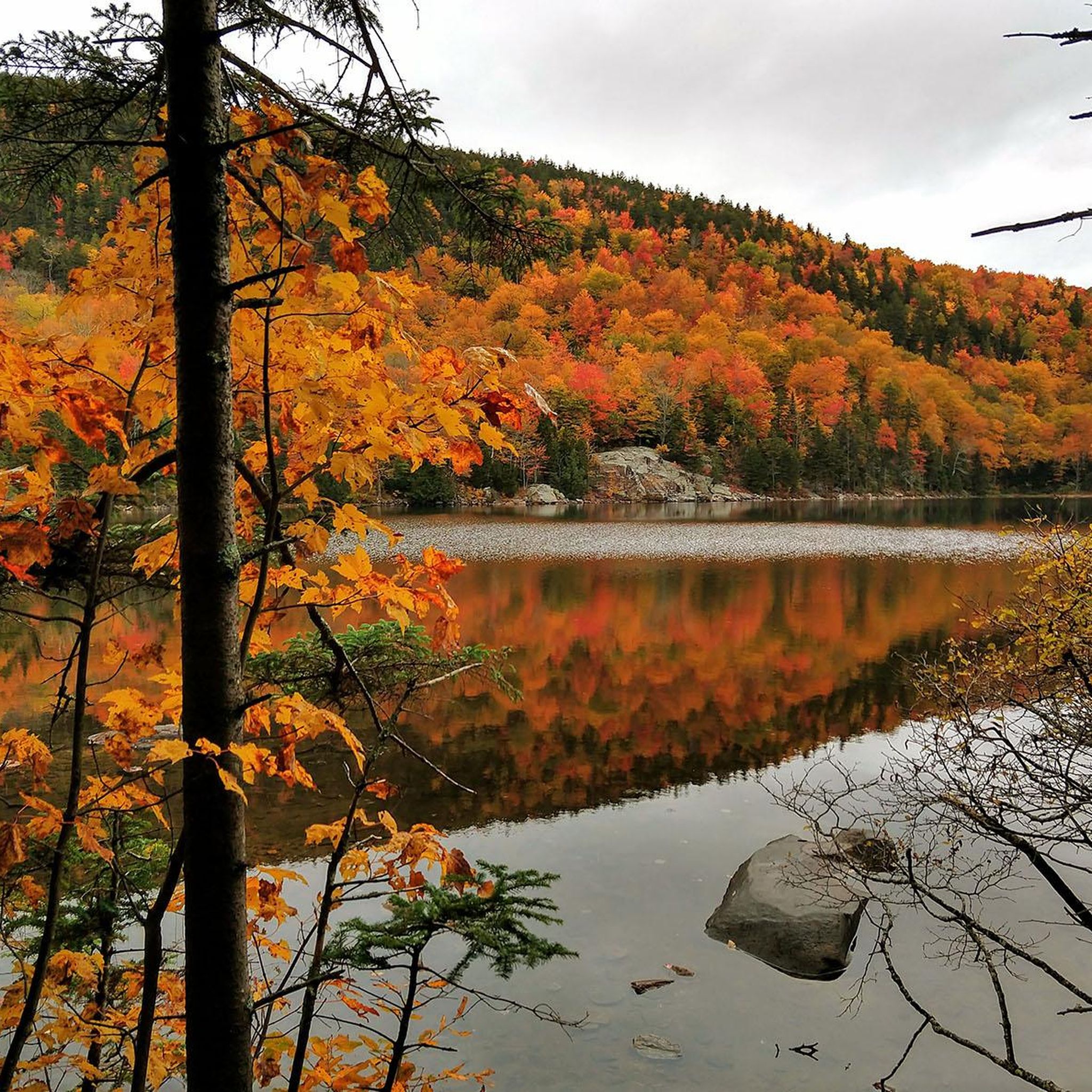
Hiking in Robert T. Stafford White Rocks National Recreation Area

Gravel biking in Robert T. Stafford White Rocks National Recreation Area
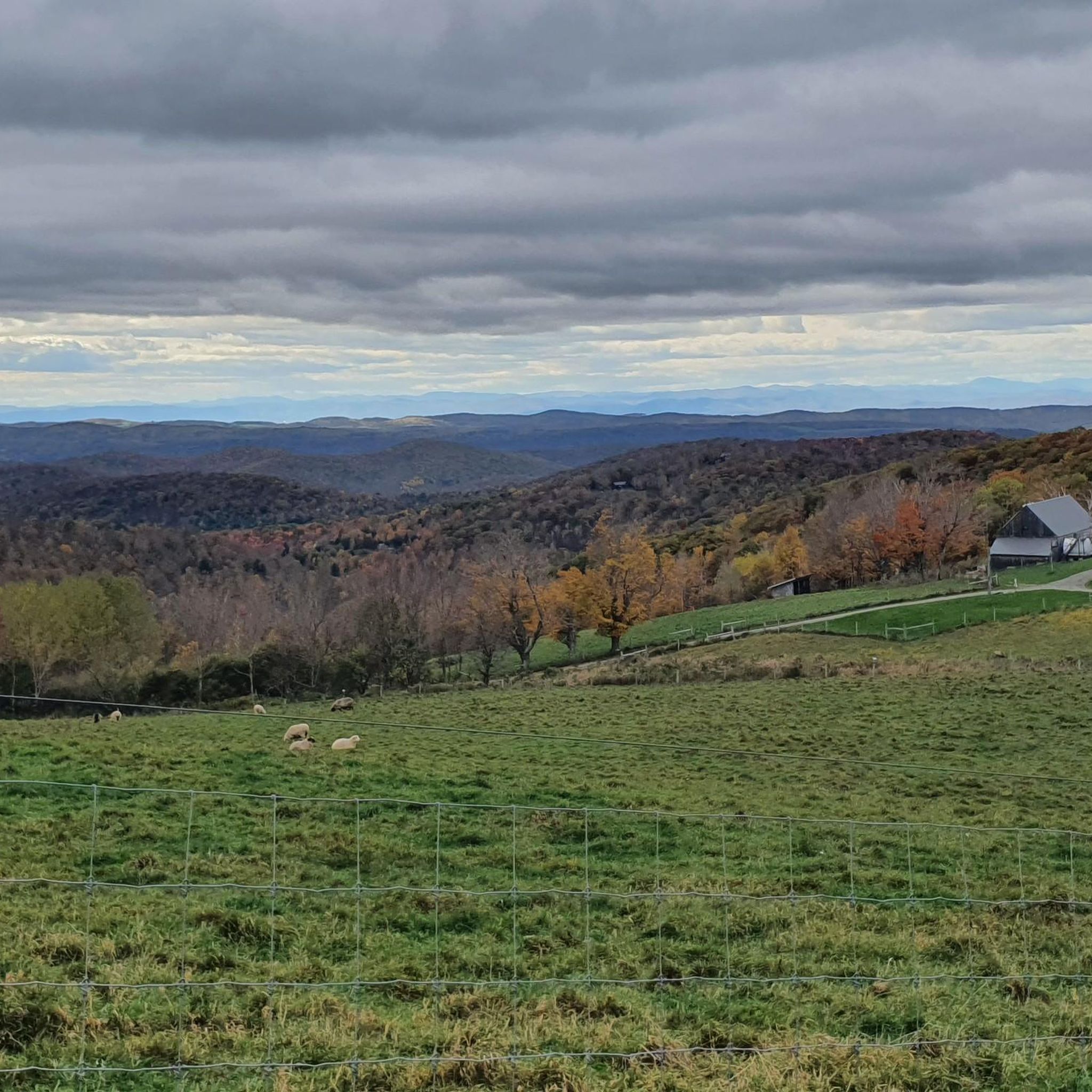
Cycling in Robert T. Stafford White Rocks National Recreation Area

Running Trails in Robert T. Stafford White Rocks National Recreation Area
Tips from the Community

Lyons Pond can be seen glistening between the tall pine trees. Many years ago, ice from the pond was stored in ice houses for use in food preservation during the summer. The ice was packed into the houses with sawdust and it was surprisingly effective. If done well, it could remain frozen for several years.
0
0

Hapgood Pond is a 12-acre pond that is 12 feet deep at its deepest point. This pond is within a recreation area of the same name. The recreation area has a campground, restrooms, picnic tables, and a swimming beach.
0
0

The Mill Pond is a small pond off of the scenic West River in Londonderry, Vermont. It is just east of downtown Londonderry where you can get a bite to eat on your ride.
0
0
Lyons Pond can be seen glistening between the tall pines trees. Many years ago, ice from the pond was stored in icehouses for use in food preservation during the summer. The ice was packed into the houses with sawdust and it was surprisingly effective. If done well, it could remain frozen for several years.
0
0

This old village is register as a US Historic site. It has well-preserved mid-19th century houses.
0
0
Frequently Asked Questions
How many road cycling routes are available in Robert T. Stafford White Rocks National Recreation Area?
There are 10 road cycling routes available in the Robert T. Stafford White Rocks National Recreation Area. These routes offer a variety of experiences, with 6 considered moderate and 4 classified as difficult, catering to different skill levels.
What kind of terrain can I expect on road cycling routes in this area?
Road cycling routes in the Robert T. Stafford White Rocks National Recreation Area traverse a landscape characterized by rolling hills and dense hardwood forests. While the recreation area itself contains rugged wilderness, road cycling typically occurs on paved roads bordering or leading into the area, offering scenic views of the Vermont countryside. You can expect varied terrain with moderate ascents and descents.
Are there road cycling routes suitable for beginners or families?
While all routes are rated moderate to difficult, cyclists with some experience can find enjoyable rides. For example, the Hapgood Pond – Lyons Pond loop from Hapgood Pond Recreation Area is a moderate 27.8-mile route with a manageable elevation gain, which could be a good option for families or beginners looking for a longer ride.
What are some challenging road cycling routes in the area?
For experienced cyclists seeking a challenge, routes like the Lyons Pond – The Mill Pond loop from Star Lake Wildlife Management Area offer a significant test. This difficult route spans over 75 miles (121.2 km) with an elevation gain of over 5,800 feet (1,791 meters), providing a demanding ride through the region's varied terrain.
Can I find circular road cycling routes in Robert T. Stafford White Rocks National Recreation Area?
Yes, many of the road cycling routes in the area are designed as loops, allowing you to start and end at the same point. Examples include the popular Hapgood Pond – Lyons Pond loop from Hapgood Pond Recreation Area and the Lyons Pond – Hapgood Pond loop from Peru, both offering scenic circular journeys.
Are there any scenic viewpoints along the road cycling routes?
While specific viewpoints on paved roads are not detailed, the region is known for its natural beauty. The White Rocks Cliffs, visible from the Ice Beds Trail, offer impressive views of the Adirondack and Taconic Mountains. Cycling on roads bordering the recreation area will provide continuous scenic vistas of Vermont's rolling hills and hardwood forests, especially during autumn.
What is the best time of year for road cycling in Robert T. Stafford White Rocks National Recreation Area?
The best time for road cycling is typically from late spring through early autumn. During these months, the weather is generally mild, and the hardwood forests are vibrant, offering beautiful scenery. Fall foliage provides a particularly stunning backdrop for rides, though it can also be a busier time for visitors.
Is parking available for cyclists near the routes?
Yes, parking is generally available at common starting points for many routes. For instance, the Hapgood Pond – Lyons Pond loop starts from Hapgood Pond Recreation Area, which typically offers parking facilities. Access points like State Route 140 also lead to areas with parking options.
Are dogs allowed on the road cycling routes?
While the Robert T. Stafford White Rocks National Recreation Area is generally dog-friendly for activities like hiking, specific regulations for dogs on paved road cycling routes may vary. It's always best to keep dogs on a leash and ensure they are well-behaved, especially on roads shared with vehicles. Check local signage or the Green Mountain National Forest guidelines for the most current information.
Are there any places to eat or stay near the cycling routes?
The Robert T. Stafford White Rocks National Recreation Area is surrounded by charming Vermont towns that offer various amenities. You can find cafes, pubs, and accommodation options in nearby communities like Peru, Ludlow, and Wallingford, which serve as common starting points for many of the cycling routes.
What are the typical distances and durations for road cycling routes here?
The routes vary significantly in length and duration. You can find moderate routes like the Roadbike loop from Ludlow, which is about 20 miles (32.3 km) and takes around 2 hours 15 minutes. Longer, more challenging routes, such as the Roadbike loop from Owls Head Town Forest, can extend over 47 miles (76.2 km) and require more than 3 hours 30 minutes to complete.
What makes road cycling in this area unique?
Road cycling in the Robert T. Stafford White Rocks National Recreation Area is unique due to its blend of scenic Vermont countryside and the proximity to the rugged Green Mountain National Forest. Cyclists can enjoy quiet, paved roads winding through majestic hardwood forests, past ponds, and over rolling hills. The area is highly rated by the komoot community, with an average score of 4.5 stars, indicating a well-regarded cycling experience.
Are there any specific attractions or natural features I might see while cycling?
While cycling on the roads bordering the recreation area, you'll be immersed in the natural beauty of Vermont's Green Mountains. You might catch glimpses of the dense hardwood forests, including maple, birch, and beech trees, and pass by various waterways. The region is also home to unique features like the White Rocks Cliffs and the Ice Beds, though these are typically accessed via hiking trails rather than directly from road cycling routes.
Most popular routes in Robert T. Stafford White Rocks National Recreation Area

Get inspired with the komoot mobile app


Didn’t find what you were looking for?
Check out more Road cycling routes throughout Robert T. Stafford White Rocks National Recreation Area below and find the perfect route in your destination.
Explore more
Browse the best Road cycling routes in other regions.
