The best walks and hikes in Tongass National Forest
4.8
(204)
2,494
hikers
193
hikes
Hiking in Tongass National Forest offers access to the world's largest intact temperate rainforest, spanning nearly 17 million acres across Southeast Alaska. The region is characterized by dense, moss-covered old-growth forests, alpine meadows, and unique boardwalks over peat bogs known as muskegs. Hikers can explore diverse terrain including tidewater glaciers, dramatic coastlines, and mountains rising directly from the tidewater.
Best hiking trails in Tongass National Forest
- The most popular hiking route is Ward Lake Nature Trail, a 1.9 miles (3.0 km) trail that takes 47 minutes to complete. This easy path offers a loop around Ward Lake.
- Another top favourite among local hikers is Point Bridget Trail, an easy 3.5 miles (5.6 km) path. This trail leads through coastal forest to scenic viewpoints.
- Local hikers also love the Mount Jumbo Trail, a 3.5 miles (5.7 km) trail leading through varied terrain with significant elevation gain, often completed in about 2 hours 43 minutes.
- Hiking in Tongass National Forest is defined by temperate rainforests, glaciers, and rugged coastlines, with trails often featuring raised planks over wet areas. The network offers options for easy walks, moderate excursions, and challenging routes.
- The routes in Tongass National Forest are highly rated by the komoot community with an average score of 4.8 stars from over 150 reviews. More than 1700 hikers have used komoot to explore Tongass National Forest's varied terrain.
Last updated: October 11, 2026
5.0
(1)
5
hikers
2.32km
00:38
40m
40m
Embark on the easy Ketchikan Salmon Walk, a scenic route that guides you through the heart of Ketchikan. This hike covers 1.4 miles (2.3 km) with a gentle elevation gain of 124 feet (38 metres), taking approximately 38 minutes to complete. As you stroll, you will experience a blend of natural beauty and local charm, passing by historic Creek Street with its distinctive colorful buildings and the lush temperate rainforest environment.
This accessible trail is conveniently located and easily reached from downtown Ketchikan and the cruise ship docks, making it a perfect option for visitors. The paths are generally easy to navigate, requiring only comfortable walking shoes to enjoy the experience fully. You will find interpretive panels placed along the way, offering insights into the area's history and ecology.
The highlight of this route is the opportunity to observe salmon migrating upstream, particularly near the salmon ladder during mid to late summer. The trail provides a unique glimpse into the natural cycle of these fish, set against the backdrop of Ketchikan's vibrant culture. It offers a memorable way to connect with both the wildlife and the historical essence of the region.
5.0
(3)
8
hikers
3.41km
01:12
190m
170m
Embark on the Lower Dewey Lake Loop, an easy 2.1-mile (3.4 km) hiking route that offers a rewarding outdoor experience. You will gain 621 feet (189 metres) in elevation, with an estimated duration of 1 hour and 12 minutes. The trail begins with a steep climb, providing panoramic views of Skagway and its harbor, before leveling out around the serene Lower Dewey Lake, surrounded by lush spruce and hemlock forests. You can find a peaceful resting spot on 'Dewey Island' with its picnic table, enjoying views of the lake and Twin Dewey Peaks.
The trailhead is conveniently located within walking distance of downtown Skagway and the cruise port, making it highly accessible for visitors. While the initial ascent is steep, the loop around the lake is generally easier, though the eastern side can be rough with rocks and roots. Remember that this is bear country, so take appropriate safety precautions and be aware of your surroundings.
This route is part of the Klondike Gold Rush National Historical Park, offering a glimpse into the region's natural beauty and history. The diverse scenery includes initial views of the town and cruise ships, transitioning to the tranquil lake environment. It is a popular choice for those looking for a relatively short and accessible hike near Skagway, providing both exercise and scenic rewards.

7
hikers
2.99km
00:48
30m
30m
Embark on an easy hike along the Ward Lake Nature Trail, a gentle loop that winds through the vibrant temperate rainforest of Tongass National Forest. You will follow the shoreline of Ward Lake, enjoying serene views of the water framed by peaks such as Brown Mountain. This accessible route covers 1.9 miles (3.0 km) with a minimal elevation gain of 92 feet (28 metres), making it a perfect quick escape that takes approximately 47 minutes to complete.
When planning your visit, note that parking is available near the trailhead. You will find an outhouse there, and during the summer months, fresh drinking water is accessible from a pump. Be aware that Ward Lake's water levels can fluctuate significantly due to rainfall and snowmelt; this sometimes causes flooding on the south side of the trail. If you encounter flooded sections, you can use the adjacent road as an alternative path to continue your journey.
This trail offers a unique opportunity to immerse yourself in the local ecosystem. Keep an eye out for diverse wildlife, including bald eagles soaring overhead and salmon migrating in Ward Creek during the fall season. Informative signs placed along the path provide insights into the area's natural features and rich history, enhancing your understanding of this beautiful Alaskan landscape.
4.7
(15)
436
hikers
3.66km
01:07
120m
120m
Embark on an easy 2.3-mile (3.7 km) hike along the Nugget Falls Trail, a route that guides you to the base of the impressive Nugget Falls. You will experience a gentle elevation gain of 403 feet (123 metres) over approximately 1 hour and 7 minutes, making it a pleasant outing for most. As you approach, the roar of the two-tiered waterfall, plunging 377 feet, becomes a powerful presence, offering continuous views of the Mendenhall Glacier and its surrounding landscape.
This accessible trail is a great option if you are looking for a straightforward walk suitable for families or those with limited mobility. While there is no fee to hike the trail itself, be aware that visiting the Mendenhall Glacier Visitor Center building does incur an entrance fee. The path is generally well-maintained with sections of compact gravel or pavement, though it can become muddy after rainfall, so plan your footwear accordingly.
Situated within the vast Tongass National Forest, the Nugget Falls Trail provides a unique opportunity to witness the dynamic interplay between glacier and waterfall. The trail follows the edge of Mendenhall Lake, often revealing blue icebergs calved from the glacier. This natural spectacle highlights the raw beauty of the Alaskan wilderness, making it a notable destination in the region.
4
hikers
6.56km
03:13
1,130m
30m
The Devil's Punch Bowl presents a challenging hiking experience, covering 4.1 miles (6.6 km) with a significant elevation gain of 3698 feet (1127 metres). You can expect to spend around 3 hours and 13 minutes on this difficult route. As you ascend, the trail reveals high-elevation vistas, providing panoramic views of snowcapped mountains. From the Devil’s Punch Bowl Overlook, you will see the town of Skagway below, along with Taiya Inlet and Skagway Harbor. This route is designed for experienced hikers seeking a rewarding climb.
To hike the Devil's Punch Bowl, you will find the trailhead accessible from Skagway, near Upper Dewey Lake. Plan for a strenuous outing and ensure you are well-prepared for the considerable elevation gain involved. Always check local conditions before you head out, as seasonal factors can greatly impact the trail. Being aware of current weather and trail status will help you have a safe and enjoyable trip.
This trail is situated within Klondike Gold Rush National Historical Park, offering a glimpse into the region's rich history and natural beauty. The route's high-elevation views are a key highlight, showcasing the vast Alaskan landscape. Consider combining your hike with exploration of other attractions in Skagway or the surrounding park area to make the most of your visit.
Get access to more routes and recommendations from other explorers.
Already have an account?
Our route recommendations are based on thousands of hikes, rides, and runs completed by other people on komoot.
Start today with a free account
Your next adventure awaits.
Popular around Tongass National Forest
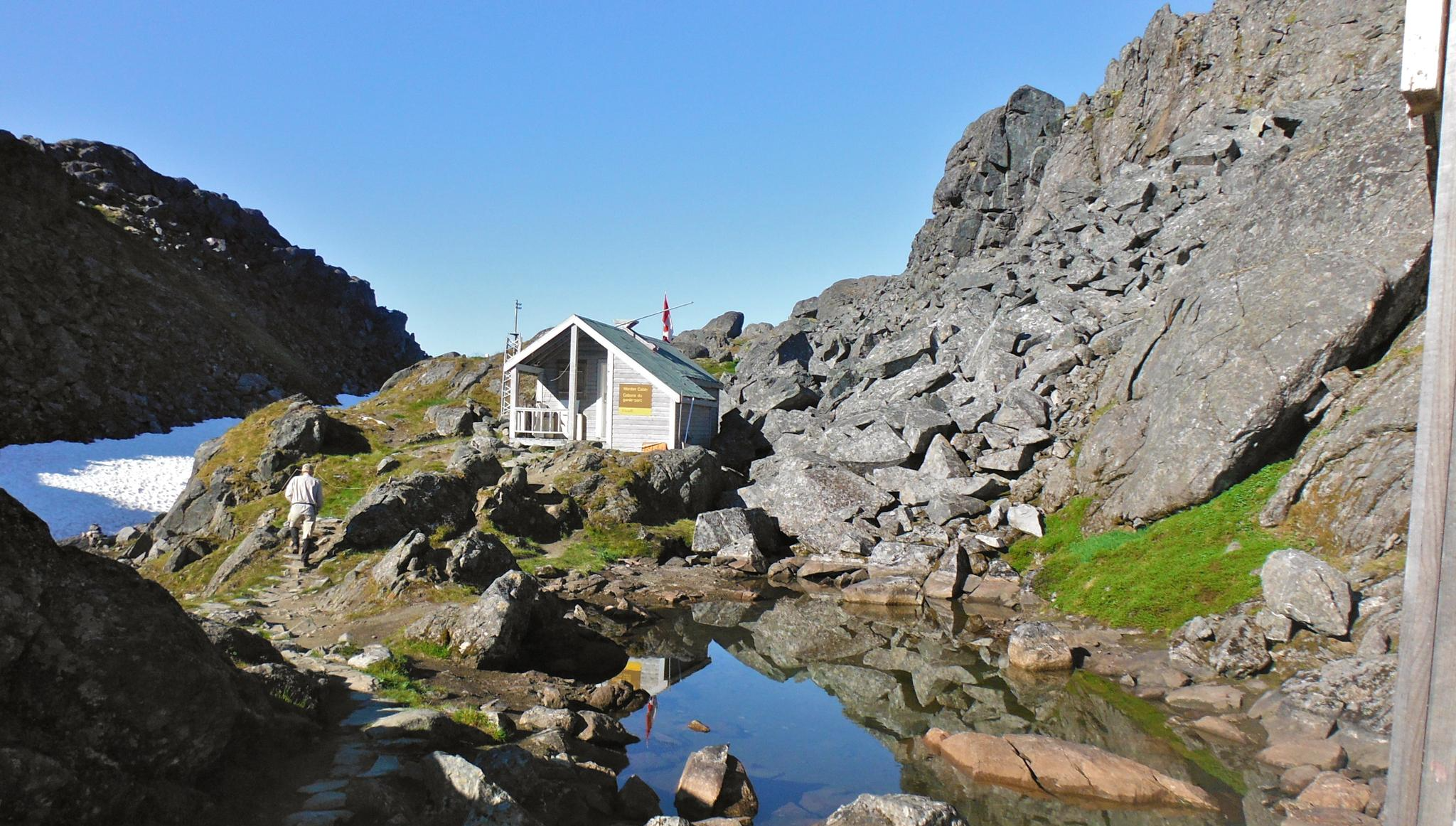
The Chilkoot Trail — Gold Rush history among soaring mountains
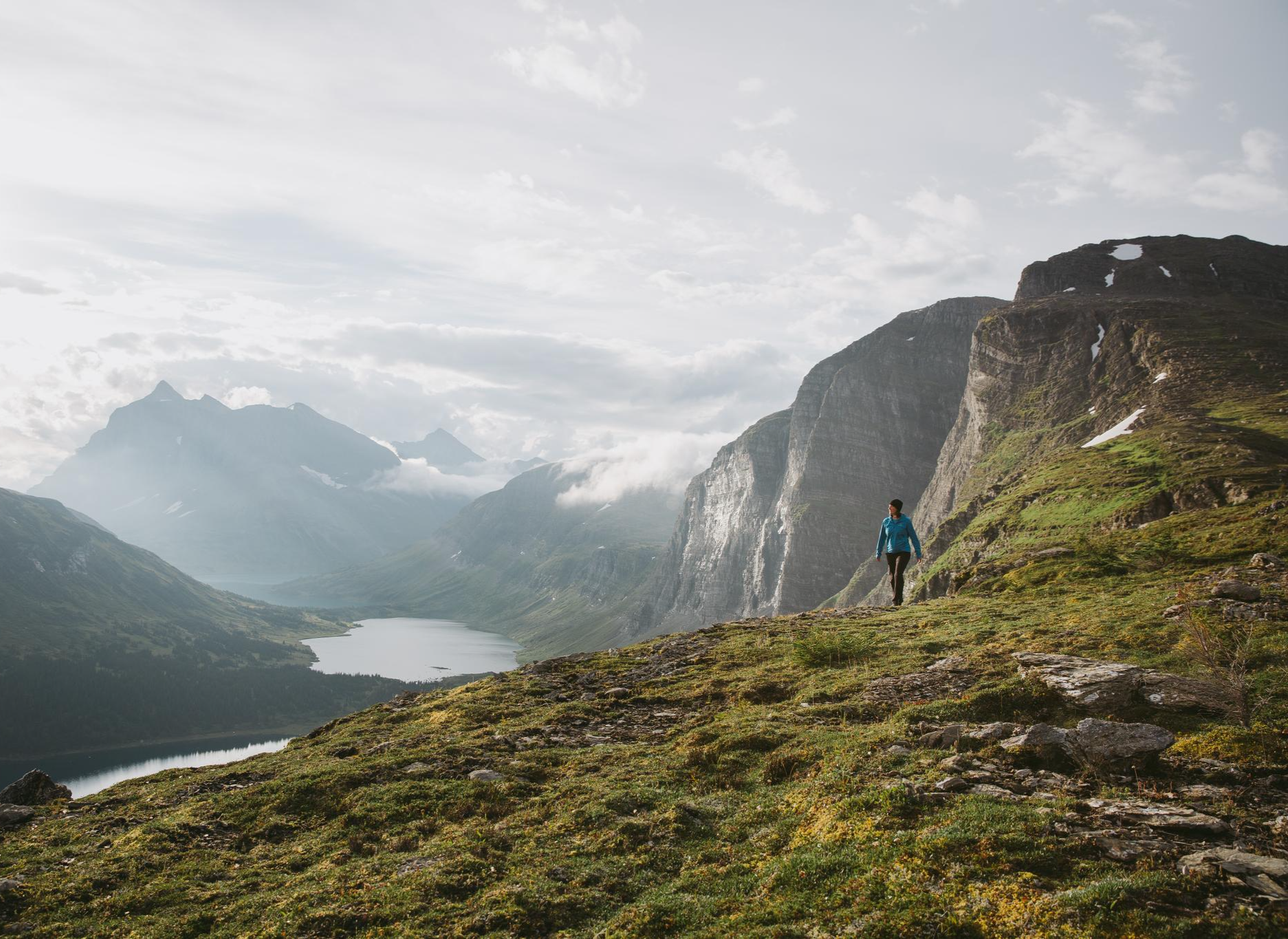
The Great Wilderness – hiking in the vastness of British Columbia
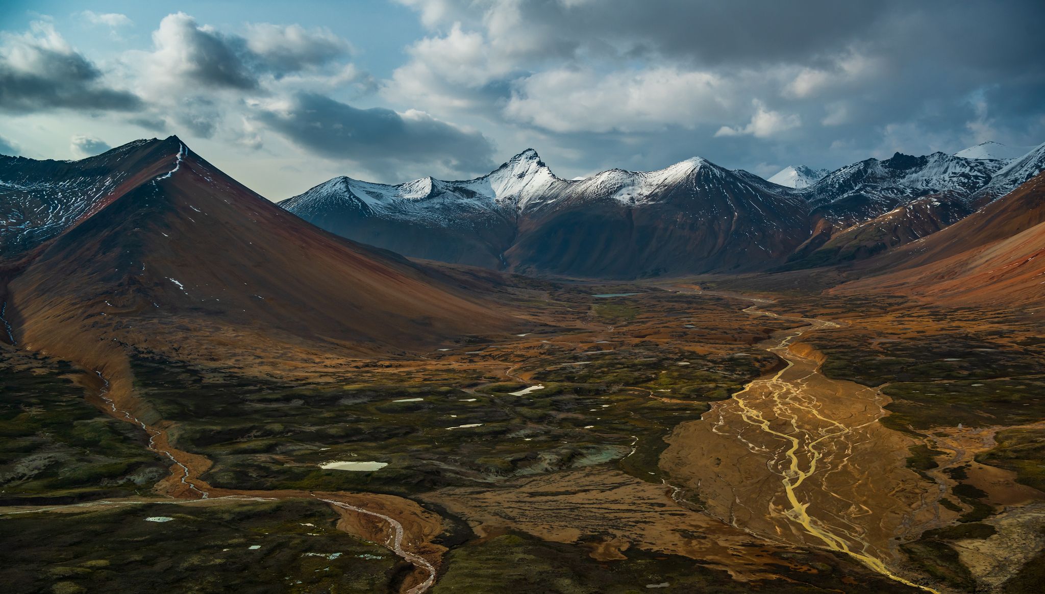
The Great Wilderness – hiking adventures in vast British Columbia

Running Trails in Tongass National Forest

MTB Trails in Tongass National Forest

Road Cycling Routes in Tongass National Forest

Cycling in Tongass National Forest
Other adventures in Tongass National Forest


Tips from the Community

The path to the waterfall is well-maintained and well-signposted. You can't miss it.
0
0
Mendenhall Waterfall, also known as "Nugget Falls," is located on beautiful Mendenhall Lake. From there, you also have a good view of the Mendenhall Glacier. You can easily get to the starting point from Juneau by bus or car. However, Juneau itself can only be reached by plane or boat.
0
0

The Mendenhall Glacier Visitor Center near Juneau brings you up close to the rugged beauty of Alaska. Here you can not only admire the impressive glacier and the turquoise glacial water, but also gain exciting insights into the geology and ecosystem of this region. The center itself offers exhibitions that illustrate the history and development of the glacier and a fascinating view of the retreating ice. The area around the center is criss-crossed by easily accessible trails such as the Photo Point Trail and the popular Nugget Falls Trail, which takes you to the roaring Nugget Falls. For nature lovers, the Steep Creek Trail is a highlight - especially during salmon season, when bears gather at the stream. From elevated walkways you can observe the animals without disturbing their peace. In winter, a completely different scene awaits you, when nature freezes in silent beauty. Take the time to explore the short Trail of Time, which tells the history of the glacier on information boards and lets you delve deep into the formation of this unique landscape. The Mendenhall Glacier Visitor Center is more than just a visitor center - it is an experience that shows you the power and fragility of nature first hand.
0
0

If you're looking for a challenging trail run in the Skagway area, this is it. Even hiking here is a challenge, with steep inclines that may sometimes drop you out of a running pace and are virtually guaranteed to give you calves of steel.
1
0
Whether you're walking or running, this thundering, enormous waterfall is a worthy destination. It also draws understandable crowds, but the flat, beach-like area around it makes it pretty easy to dodge walkers.
1
0
This is one of several great viewpoints of Mendenhall Glacier along this run. However, just like all the other trails along the visitor center, it tends to get very crowded as soon as the visitor center shuttle buses start running for the day. So, if you want to be able to actually keep up a run, you'll have better odds of managing that either before the first shuttle bus visitor or after the last one.
1
0
The trail ends at an overlook of the Devil's Punchbowl, a beautiful little tarn set deep in a rocky bowl.
2
0
Your reward for the challenging hike up until this point is an idyllic blue-green lake, with the rich coloring that only glacier-fed waters can provide. There is also a public use cabin nearby — the Upper Dewey Lake Cabin — which must be reserved in advance, for a fee, from the Skagway Recreation Center. https://skagwayrecreation.org/outdoor-recreationupper-lake-cabin/
2
0
Frequently Asked Questions
How many hiking trails are available in Tongass National Forest?
Tongass National Forest offers a vast network of trails, with over 130 hiking routes available on komoot. These range from easy walks to more challenging excursions, catering to various skill levels.
What kind of landscapes can I expect to see while hiking in Tongass National Forest?
You'll experience the world's largest intact temperate rainforest, characterized by dense, moss-covered forests. Hikers can also explore alpine meadows, unique boardwalks over peat bogs (muskegs), dramatic coastlines, and majestic mountains rising from the tidewater. Many trails also offer views of glaciers and icefields.
Are there any easy or family-friendly hiking options in Tongass National Forest?
Yes, Tongass National Forest has many easy trails suitable for families. For example, the Sitka National Historical Park (Totem Trails) offers a gentle path through historical sites and coastal forest. Another accessible option is the Lower Dewey Lake loop near Skagway, which provides scenic lake views.
Are there trails that lead to glaciers or offer glacier views?
Yes, the Juneau area alone features over 20 trails, with five leading directly to a glacier. The renowned West Glacier Trail to Mendenhall Glacier is a spectacular option. Another popular choice is the East Glacier Loop, which offers impressive glacier views.
What wildlife might I encounter on a hike in Tongass National Forest?
The forest is teeming with wildlife. You might spot bears, especially during salmon spawning season, as well as eagles, whales along the coast, and countless other animals. It's important to be 'bear aware' and carry bear spray when hiking in this region.
Are there any circular hiking routes in the forest?
Yes, there are several circular routes available. The Lower Dewey Lake loop in Skagway is an easy circular path offering lake and forest views. Another option is the East Glacier Loop near Juneau.
What should I pack for a hike in Tongass National Forest, especially given the rainforest environment?
Given the temperate rainforest environment, it's crucial to pack waterproof boots and rain gear. Many trails feature raised planks and corduroy to navigate wet, boggy areas, so sturdy, waterproof footwear is essential. Always be 'bear aware' and consider carrying bear spray.
What are some notable attractions or points of interest I can visit near the trails?
Beyond the trails themselves, you can visit the Mendenhall Glacier Visitor Center for stunning glacier views. The Southeast Alaska Indian Cultural Center offers insights into local heritage. For those interested in caving, El Capitan Cave on Prince of Wales Island offers ranger-led tours. You can also find illustrious hot springs overlooking the coast for relaxation after a hike.
How accessible are the trailheads, and is parking usually available?
Many trails in Tongass National Forest are directly accessible from towns and port stops, making them convenient for visitors. While specific parking availability varies by trailhead, many popular access points are designed to accommodate visitors. It's always a good idea to check local information for specific trailheads.
What is the best time of year to go hiking in Tongass National Forest?
The best time for hiking is generally during the warmer, drier months, typically from late spring through early fall (May to September). This period offers more favorable weather conditions and longer daylight hours. However, the temperate rainforest means you should always be prepared for rain, regardless of the season.
Are there any trails that feature waterfalls?
Yes, the forest's dramatic coastline and waterways are dotted with waterfalls. A prime example is the Nugget Falls trail near Juneau, which leads to scenic waterfall views and is a popular choice for its accessibility and beauty.
What do other hikers enjoy most about the trails in Tongass National Forest?
The trails in Tongass National Forest are highly rated by the komoot community, with an average score of 4.8 stars from over 145 reviews. Hikers often praise the unique experience of traversing the world's largest intact temperate rainforest, the stunning glacier views, and the diverse terrain that includes both lush forests and coastal vistas.
Are there any moderate or challenging trails for more experienced hikers?
Yes, while there are many easy options, Tongass National Forest also offers moderate and challenging routes for experienced hikers. For instance, Mount Riley from Mud Bay near Haines is a moderate trail with significant elevation gain. The forest also encompasses vast wilderness areas and mountains, providing opportunities for more intrepid hikers and backpackers seeking deeper wilderness experiences.
Most popular routes in Tongass National Forest
Most popular attractions in Tongass National Forest

Get inspired with the komoot mobile app


Explore more
Browse the best Hikes in other regions.
