The best walks and hikes in Francis Marion And Sumter National Forests
4.6
(90)
985
hikers
46
hikes
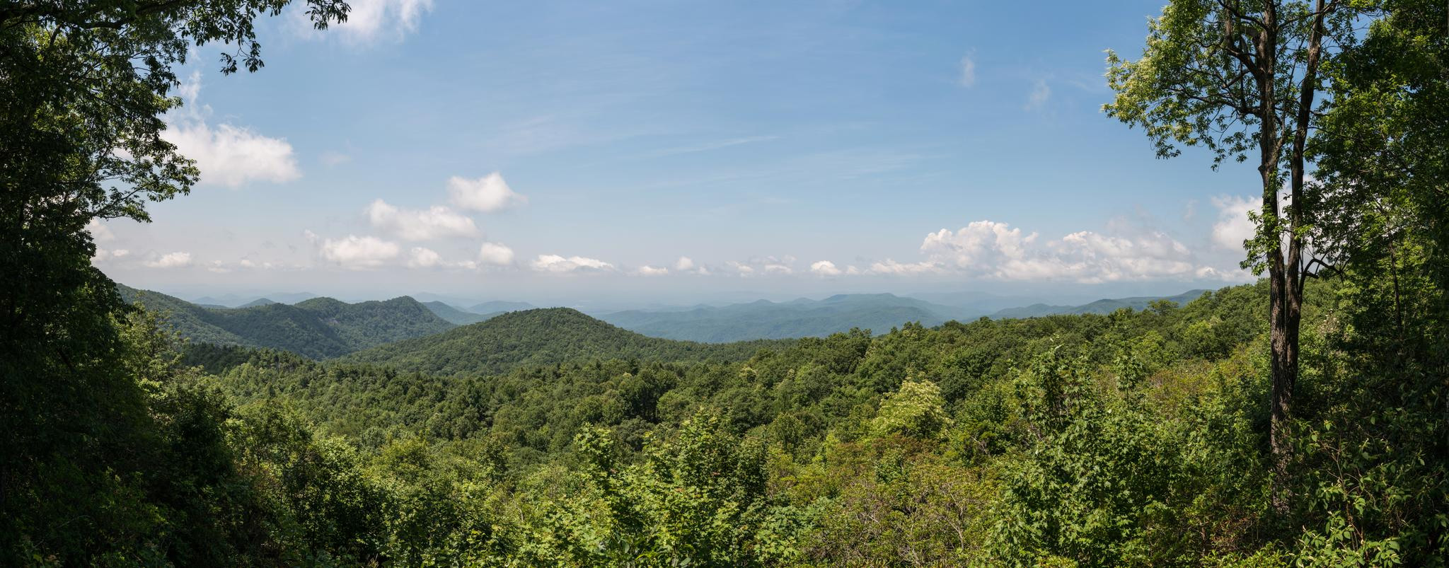
Hiking in Francis Marion And Sumter National Forests offers diverse landscapes across South Carolina, from coastal lowcountry swamps and tidal creeks to mountainous terrain in the Appalachian foothills. The Francis Marion National Forest features maritime forests, salt marshes, and longleaf pine ecosystems. In contrast, the Sumter National Forest encompasses hardwood forests and higher elevations. This region provides a wide array of ecosystems, including wetlands, pine forests, and mountainous areas with significant elevation changes.
Best hiking trails in Francis Marion And Sumter National Forests
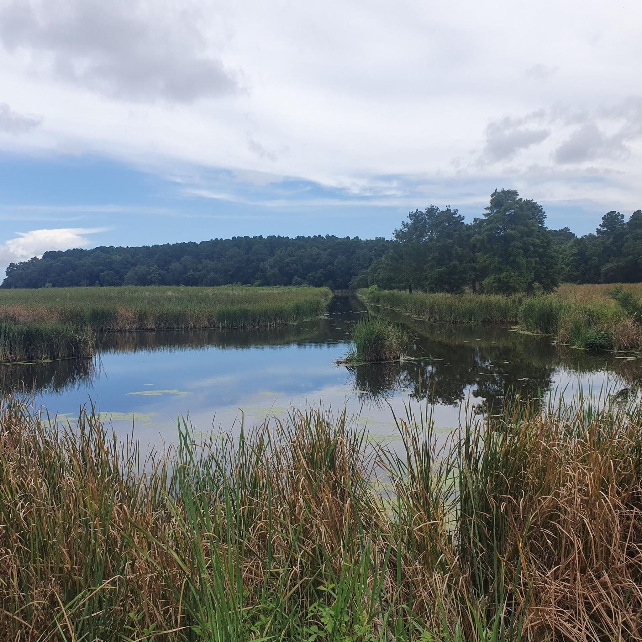
- The most popular hiking route is I'on Swamp Interpretive Trail loop — Francis Marion National Forest, a 1.9 miles (3.0 km) trail that takes 45 minutes to complete. This easy route journeys through serene wetlands and historic rice fields, offering glimpses of diverse wildlife.
- Another top favourite among local hikers is Opossum Creek Falls Trail — Sumter National Forest, a moderate 4.6 miles (7.4 km) path. This trail leads to a secluded 50-foot waterfall, winding through areas lined by oak trees and wildflowers.
- Local hikers also love the Awendaw Passage Trail — Francis Marion National Forest, a 10.0 miles (16.2 km) trail leading through maritime forest and marshland, often completed in about 4 hours 4 minutes.
- Hiking in Francis Marion And Sumter National Forests is defined by coastal marshes, pine forests, and mountainous terrain, with trails ranging from easy walks to challenging long-distance adventures. The network offers options for different ability levels.
- The routes in Francis Marion And Sumter National Forests are highly rated by the komoot community with an average score of 4.6 stars from more than 70 reviews. More than 900 hikers have used komoot to explore Francis Marion And Sumter National Forests's varied terrain.
Last updated: July 8, 2026
9
hikers
21.1km
07:34
760m
760m
The Foothills Trail section from Bad Creek to Lower Whitewater and Hilliard Falls is a demanding yet incredibly scenic journey through diverse forests and rugged terrain, highlighted by a series of magnificent waterfalls. You'll traverse varied landscapes, from old roads to singletrack, crossing rivers on sturdy bridges, all while soaking in views of the Whitewater River and Lake Jocassee. This difficult 13.1-mile (21.1 km) hike, with its 2508 feet (764 metres) of elevation gain, promises a rewarding experience for those up for the challenge, typically taking about 7 hours and 34 minutes.
Planning your visit starts at the Bad Creek hydroelectric station, which offers convenient parking and facilities. Be prepared for steep ascents and descents, especially around the impressive Upper and Lower Whitewater Falls, and note that the trail can be slick when wet. While challenging, the route is best enjoyed during cooler months, with winter offering exceptional, unobstructed views of Lake Jocassee through the leafless trees.
This segment of the Foothills Trail is renowned for its abundance of dramatic waterfalls, including the towering Upper Whitewater Falls, one of the highest east of the Rocky Mountains, and the picturesque Hilliard Falls. The area is rich in biodiversity, with rhododendrons and various wildflowers adding vibrant color depending on the season, making it a true natural gem in the Blue Ridge Mountains.
6
hikers
19.3km
05:36
460m
590m
The Foothills Trail: Upper Whitewater Falls to Burrell's Ford Road offers a challenging 12.0-mile (19.3 km) point-to-point hike through the rugged Blue Ridge escarpment. You'll navigate diverse forests, encounter impressive suspension bridges, and follow the scenic Chattooga River, a designated Wild and Scenic River. Expect a demanding route with 1524 feet (465 metres) of elevation gain, particularly the strenuous climb out of Upper Whitewater Falls, making it a difficult trail that takes around 5 hours and 35 minutes to complete.
When planning your visit, be aware that this is a remote section of the Foothills Trail, so come prepared. Parking Foothills Trail Burrell's Ford Road access is available, but confirm directions and conditions beforehand. The best season to hike Foothills Trail Burrell's Ford Road section for expansive views is often winter, when the bare trees open up vistas of Lake Jocassee and the mountains.
This section is particularly notable for featuring the majestic Upper Whitewater Falls, one of the highest waterfalls east of the Rocky Mountains. The route's journey alongside the protected Chattooga River adds to its unique character, offering a true wilderness experience for those seeking advanced hiking routes near Whitewater Falls. It's a top rated point-to-point hike in the North Carolina/South Carolina border region for its natural beauty and demanding terrain.

Sign up for free
4
hikers
9.33km
02:46
280m
270m
The Big Bend Falls and Round Top Loop offers a fantastic immersion into the Sumter National Forest, guiding you through diverse hardwood forests rich with hemlocks, white oaks, and rhododendron glens. This moderate 5.8-mile (9.3 km) loop, with 921 feet (281 metres) of elevation gain, typically takes around 2 hours and 46 minutes, culminating at the impressive Big Bend Falls. You'll find sandy beaches and large boulders below the falls, perfect for a break after navigating the varied terrain.
Planning your visit is relatively simple, with parking available at the trailhead. While the overall trail is moderate, be aware that the final descent to Big Bend Falls is quite steep and rugged, requiring careful footing. If you're considering an overnight trip, primitive campsites are available nearby, allowing you to extend your experience in this beautiful natural setting.
This trail is particularly notable for Big Bend Falls, a powerful 30-foot drop that is the highest single waterfall on the Wild and Scenic Chattooga River. The falls get their name from a distinctive hairpin turn in the river just above them, adding to the unique character of this natural landmark. It's a great option for those seeking a rewarding hike with a significant natural feature in Oconee County, South Carolina.
4
hikers
4.60km
01:23
210m
40m
The Whitewater Falls via Foothills Trail offers a fantastic opportunity to witness one of the East Coast's most magnificent waterfalls without an overly demanding trek. You'll navigate varied terrain, including singletrack paths and sections with exposed roots, leading to the impressive Whitewater Falls Viewing Platform. The moist environment around the falls is particularly vibrant in spring, showcasing a diverse array of wildflowers and ferns, making it a visually rich experience.
This easy 2.9-mile (4.6 km) hike involves 683 feet (208 metres) of elevation gain and typically takes around 1 hour and 22 minutes to complete. While the route itself is straightforward, it's always a good idea to check for specific entry times to the Whitewater Falls area before your visit. Parking is available at the trailhead, but arriving early is recommended, especially on busy days, to ensure you find a spot.
Whitewater Falls holds the distinction of being one of the highest waterfalls east of the Rocky Mountains, making this section of the Foothills Trail a significant natural landmark. Beyond the falls, you can enjoy glimpses of the Whitewater River gorge and, in winter, distant views of Lake Jocassee. The rich biodiversity, especially the abundance of wildflowers in early to mid-April, adds another layer of appeal to this popular trail.
3
hikers
3.22km
00:52
20m
90m
The Yellow Branch Falls Trail offers a delightful, easy hike through the Sumter National Forest, leading to a stunning 50-foot, multi-tiered waterfall. You'll wander through a tranquil hardwood forest, crossing Yellow Branch Creek multiple times, with the path winding past native ferns and wildflowers. The impressive cascade, stretching 75 feet across, is a true highlight, with water glistening over mossy ledges, making it a perfect destination for a peaceful nature escape.
Planning your visit is straightforward, as the trailhead features a convenient picnic area and restrooms. While the 2.0-mile (3.2 km) out-and-back route is rated easy and takes about 52 minutes with only 64 feet (19 metres) of elevation gain, be prepared for some creek crossings that may lack bridges. Sturdy, waterproof shoes are a good idea, especially if you visit after rainfall, as the falls' flow is dependent on recent precipitation.
This trail is considered a hidden gem in the scenic foothills of the Blue Ridge Mountains, offering a refreshing break from more strenuous hikes. It provides a genuine back-to-nature experience, allowing you to immerse yourself in the diverse forest environment. The ample space at the base of the falls is perfect for relaxing and enjoying a snack, making it a rewarding destination for families or anyone seeking a high-payoff, low-effort adventure.
Get access to more routes and recommendations from other explorers.
Sign up for free
Already have an account?
Our route recommendations are based on thousands of hikes, rides, and runs completed by other people on komoot.
Start today with a free account
Your next adventure awaits.
Login or Signup
Popular around Francis Marion And Sumter National Forests
The Foothills Trail — Waterfalls, Forests & Appalachian Wilderness

Five days on the Palmetto Trail — A Lowcountry adventure

Palmetto Trail — Riding the mountains and marshes of South Carolina

MTB Trails in Francis Marion And Sumter National Forests
Running Trails in Francis Marion And Sumter National Forests

Cycling in Francis Marion And Sumter National Forests

Road Cycling Routes in Francis Marion And Sumter National Forests

Gravel biking in Francis Marion And Sumter National Forests
Other adventures in Francis Marion And Sumter National Forests


Tips from the Community

While currently not easily visible from the main trail, a very steep & slippery scramble path leads to the base. Currently (August 2025), there is a rope to assist with traversing part of the scramble path
0
0
While slightly visible through the trees from the main trail, a steep scramble path leads closer to the base
0
0

A picturesque wooden bridge crosses Corbin Creek. The small waterfall, muddy rocks, and surrounding forest create a magical scene. Take a moment to appreciate the environment and realize the special place around you.
0
0
Big Bend Falls might not be the tallest around, but it's the largest single drop on the Chattooga River and a must-see along the Foothills Trail. This 30-foot cascade surges through a rocky chute, making for an impressive sight. The short detour is worth it for the great viewpoint.
0
0
HIlliard Falls are hidden in the woods of Nantahala National Forest, a rock slide shaped by water flow drops into a small natural pool, not so shaded by trees, which provides a nice sunlit swim on a hot day. A not so popular place, providing hikers with an extra sense of quietness and beauty.
0
0
Whitewater Falls is 411 ft high, being the highest waterfall east of the Rocky Mountains. The upper platform is the best place to spot amazing views of the waterfall. Due to the humidity that comes from the falls the surrounding vegetation is very diverse, with many wildflowers, salamanders, and berries, depending on the season. The parking lot can be quite busy depending on the day and season, and there is a parking fee of $3 that can only be paid in cash.
1
1
Lower Whitewater Falls is part of a seris of the highest falls in eastern North America, composing a 200 ft drop of a beautiful waterfall in amongst forest. Due to its height and to avoid accidents, there is no trail to the falls, but the platform offers stunning views.
0
0

There is a parking fee of $3 that can only be paid in cash as far as I have seen. During the week in March it was very empty. The viewing platform seems to be the only good spot to get a view on the waterfall.
1
1
Frequently Asked Questions
How many hiking trails are available in Francis Marion and Sumter National Forests?
There are over 10 hiking routes documented in Francis Marion and Sumter National Forests on komoot, catering to various skill levels. You'll find 4 easy trails, 7 moderate trails, and 2 difficult trails, offering a wide range of experiences from coastal marshes to mountainous terrain.
What kind of landscapes can I expect to see while hiking in these National Forests?
The Francis Marion and Sumter National Forests offer incredibly diverse landscapes. In the Francis Marion National Forest, located near the coast, you'll encounter lowcountry swamp wilderness, tidal creeks, salt marshes, and longleaf pine ecosystems. The Sumter National Forest, in the western part of the state, features more mountainous terrain, hardwood trees, and pine forests, including parts of the Blue Ridge Mountains.
Are there any family-friendly hiking options in Francis Marion and Sumter National Forests?
Yes, there are several easy trails suitable for families. The I'on Swamp Interpretive Trail loop in Francis Marion National Forest is an easy 1.9-mile route through serene wetlands and historic rice fields, perfect for introducing children to nature. The East Fork Trail in Sumter National Forest is also known as an easy, family-friendly hike.
Can I bring my dog on the hiking trails?
Yes, many trails within Francis Marion and Sumter National Forests are dog-friendly. However, it's always recommended to keep your dog on a leash and check specific trail regulations before heading out. Be mindful of wildlife and other hikers.
Are there any waterfalls I can hike to in the region?
Absolutely! The Sumter National Forest is home to several beautiful waterfalls. You can hike to the spectacular 50-foot, multi-tiered Yellow Branch Falls. Other notable waterfalls include Pigpen Falls, Licklog Falls, King Creek Falls, and Big Bend Falls.
What are some notable landmarks or points of interest to explore?
Beyond the natural beauty, you can explore historical sites and unique natural features. In Francis Marion National Forest, the I'on Swamp Interpretive Trail offers a glimpse into historic rice fields and canals. The Sewee Shell Ring Trail leads to a 4,000-year-old shell ring, a testament to prehistoric Native American culture. Battery Warren Interpretive Trail offers Civil War-era history along the Santee River.
Are there any long-distance or challenging hikes available?
For those seeking a challenge, the Sumter National Forest is home to portions of the extensive Foothills Trail, which travels through a variety of habitats and connects with other national forest trail systems. This trail offers opportunities for longer, more strenuous backpacking adventures.
What is the best time of year to go hiking in Francis Marion and Sumter National Forests?
The best time to visit generally depends on the specific forest and your preferred activity. Spring and fall offer pleasant temperatures for hiking across both forests, with vibrant foliage in the Sumter National Forest during autumn. Winter can be mild, especially in the Francis Marion National Forest, making it suitable for year-round exploration. Summers can be hot and humid, particularly in the coastal Francis Marion area.
Are there any circular hiking routes?
Yes, you can find circular routes for varied experiences. The I'on Swamp Interpretive Trail loop is a popular easy circular option. For a moderate loop, consider the Corbin Creek Bridge loop from Whitewater Mountain, which offers scenic views.
What do other hikers enjoy most about hiking in Francis Marion and Sumter National Forests?
The area is highly rated by the komoot community, with an average score of 4.7 stars from over 70 reviews. Hikers often praise the diverse landscapes, from the unique coastal environments of Francis Marion to the stunning waterfalls and mountainous terrain of Sumter. The variety of trails catering to all skill levels and the rich natural and historical attractions are frequently highlighted.
Is parking readily available at trailheads?
Parking is generally available at designated trailheads and recreation areas throughout both National Forests. For specific trails like the Awendaw Passage, there are dedicated parking areas. It's always advisable to check the specific trailhead information for the route you plan to hike to confirm parking availability and any potential fees.
Are there opportunities for wildlife viewing?
Yes, the diverse habitats of both forests support a rich array of wildlife. In Francis Marion National Forest, you might spot alligators, frogs, turtles, and various bird species, including the endangered red-cockaded woodpecker, especially in wetland and longleaf pine areas. Sumter National Forest is home to deer, wild boar, and various birdlife.
Most popular routes in Francis Marion And Sumter National Forests
Most popular attractions in Francis Marion And Sumter National Forests

Get inspired with the komoot mobile app


Explore more
Browse the best Hikes in other regions.
