The best walks and hikes in Payette National Forest
5.0
(3)
124
hikers
28
hikes
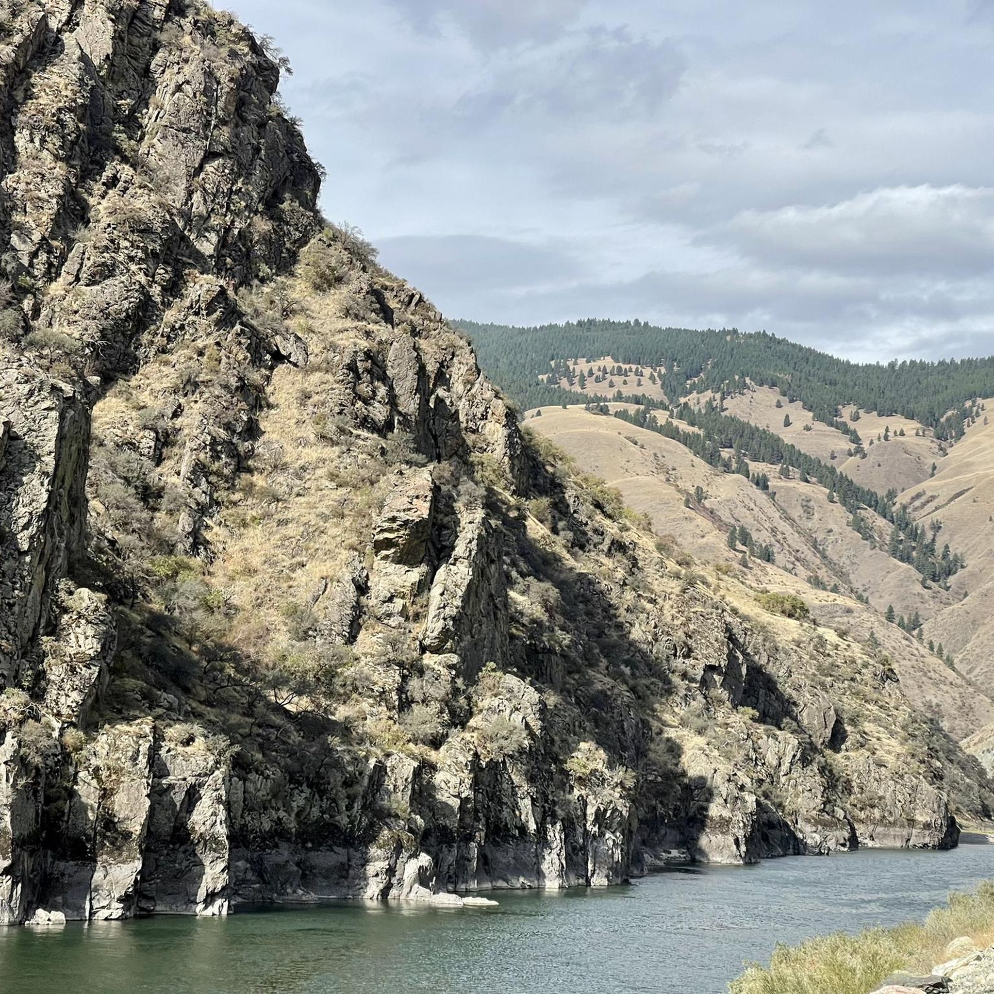
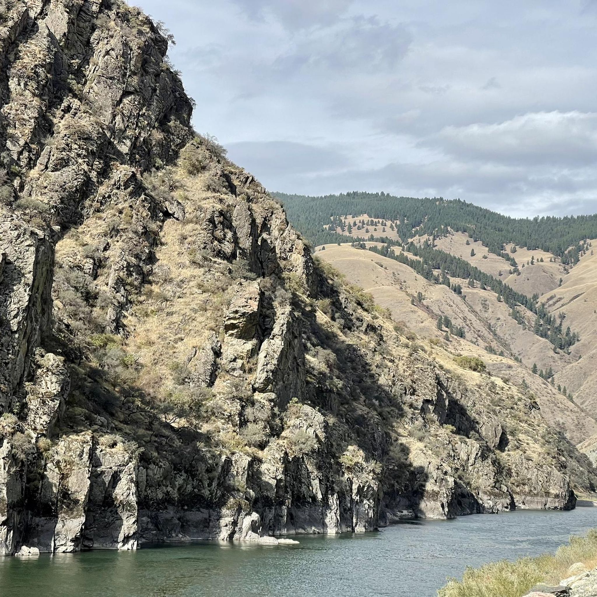
Hikes in Payette National Forest cover a 2.3 million-acre area in west-central Idaho. The region is characterized by several mountain ranges, including the Salmon River and Seven Devils Mountains, and deep river canyons. The landscape offers a mix of high-desert grasslands, dense forests, and numerous alpine lakes, providing varied terrain for hiking.
Best hiking trails in Payette National Forest
- The most popular hiking route is Boulder Lake Trail loop via Louie Lake Trail — Payette National Forest, a 6.4 mile (10.3 km) trail that takes around 3 hours 20 minutes to complete. The route features ascents to two separate alpine lakes.
- Another top favourite among local hiking enthusiasts is Pollock Mountain Lookout Loop – Seven Devils Mountains, a difficult 16.5 mile (26.6 km) path. This is a challenging backpacking trail with significant elevation gain leading to a fire lookout.
- Local hiking enthusiasts also love the Pearl Lake — Payette National Forest, a 3.8 mile (6.1 km) trail leading through montane meadows, often completed in about 1 hour 40 minutes.
- Hiking in Payette National Forest is defined by granite peaks, alpine lakes, and forested canyons. The trail network includes options for different ability levels, from short lakeside walks to multi-day backpacking trails.
- The routes in Payette National Forest are highly rated by the komoot community with an average score of 5.0 stars from a number of reviews. More than 60 hikers have used komoot to explore Payette National Forest's varied terrain.
Last updated: July 8, 2026
5
hikers
18.9km
05:14
330m
340m
Embark on the Loon Lake Loop Trail, a difficult 11.8 miles (18.9 km) hike that promises a rewarding journey through Idaho's Payette National Forest. You will navigate diverse terrain, transitioning from lush woodlands to expansive open meadows, all while gaining 1090 feet (332 metres) in elevation. The route follows the scenic Secesh River, where you might catch a glimpse of salmon, before culminating in the pristine alpine vistas of Loon Lake, framed by the majestic granite crests of the Salmon River Mountains. Expect to spend around 5 hours and 14 minutes completing this challenging loop.
When planning your visit, be aware that conditions can vary significantly along the trail. Certain sections, particularly around the southeastern shore of Loon Lake, are known to be swampy, so waterproof footwear is advisable. You should also be prepared to encounter downed trees that may require navigating around or over, and be ready to cross creeks, especially during wetter seasons. Always check local conditions before heading out to ensure a safe and enjoyable experience on this demanding route.
Beyond the natural beauty, the Loon Lake Loop Trail offers a unique historical point of interest: the well-preserved wreckage of a B-23 Dragon Bomber. This aircraft crash-landed on the frozen lake in 1943 and its remains are still visible near the shoreline, providing a poignant reminder of the past. While reaching the crash site may involve a detour onto an unmaintained path or some bushwhacking, it adds a distinctive layer of exploration to your adventure in this rugged and beautiful wilderness.
3
hikers
9.63km
03:10
650m
10m
Embark on the Twenty Mile Lakes Trail, a moderate hike spanning 6.0 miles (9.6 km) with a significant 2126 feet (648 metres) of elevation gain. This route typically takes about 3 hours and 10 minutes to complete. You will journey through shaded forests before emerging into areas shaped by a 1994 forest fire, where vibrant green grass and purple wildflowers now thrive among charred trees. The highlight is reaching the four crystal-clear mountain lakes—North, South, East, and West Lakes—offering unique views of distant peaks like Lost Art Peak.
Plan your visit between July and October when the trail is generally snow-free and accessible. You will find toilets conveniently located at the trailhead, but remember to bring your own water as none is available on site. If you hike during the shoulder seasons, be prepared for potential snow and ice at higher elevations.
This trail in Payette National Forest offers diverse scenery, showcasing nature's resilience after the 1994 forest fire. The unique landscape, with new growth amidst charred trees, provides a striking backdrop to your journey. Discover the distinct beauty of the four mountain lakes, a serene reward for your efforts, and keep an eye out for prominent features such as Lost Art Peak.

Sign up for free
5.0
(1)
3
hikers
3.19km
00:55
120m
0m
Embark on an easy hike to Upper Hazard Lake, a scenic route covering 2.0 miles (3.2 km) with an elevation gain of 398 feet (121 metres). You can expect to complete this journey in about 55 minutes. As you hike, you'll pass through vibrant meadows, often bursting with wildflowers in summer, and forests showing signs of a past fire, creating a unique landscape. The trail leads you to the pristine Upper Hazard Lake, nestled at the base of granite Bruin Mountain, where you can enjoy stunning reflections on the water.
The trailhead for this route is easily accessible, located close to Hazard Lake Campground. Keep in mind that the area sits at an elevation of over 7,000 feet, which means snow can linger on the ground well into early summer, potentially impacting trail conditions. It's wise to check local reports before you go, especially in spring. This path is also shared, so you might encounter mountain bikers and motorcyclists along the way.
This accessible route offers a wonderful opportunity to experience the natural beauty of Idaho's Payette National Forest. The varied terrain, from open meadows to unique forest sections, provides a diverse hiking experience. The destination, Upper Hazard Lake, serves as a tranquil reward, perfect for a peaceful break before heading back.
2
hikers
2.35km
00:51
240m
0m
Embark on the Louie Lake Trail, an easy hike covering 1.5 miles (2.4 km) with an elevation gain of 799 feet (244 metres), typically completed in about 51 minutes. As you ascend, you will find yourself surrounded by diverse plant life and wildlife under an open tree canopy, offering plenty of sunshine. The trail's highlight is Louie Lake, a deep-blue alpine lake that beautifully reflects the granite cliffs of Jughandle Mountain. From various points, you can also enjoy expansive views of Long Valley stretching out below.
The best time to hike the Louie Lake Trail is generally from May through October. Be aware that the access road to the trailhead can be rugged, so make sure your vehicle is suitable for the conditions. At the very beginning of your hike, you will need to cross Boulder Creek; usually, logs are placed there to help you get across. Plan your visit during these months for the most enjoyable experience.
This route takes you into Idaho's Payette National Forest, offering a quick yet rewarding outdoor adventure. The open tree canopy ensures sunny conditions for much of your journey. Keep an eye out for the unique flora and fauna that thrive in this environment. The trail provides a memorable experience with its clear alpine lake and views of the surrounding mountains.
1
hikers
6.07km
01:38
80m
80m
Embark on an easy hike combining the Baby Bear, Sleepy Hollow, Blue Ridge, and Grand Traverse Trails, covering 3.8 miles (6.1 km) with a gentle 246 feet (75 metres) of elevation gain. You can expect to complete this scenic loop in about 1 hour and 38 minutes, making it ideal for a relaxed outing. As you walk, you will experience a pleasant mix of dense woods and open meadows, often adorned with vibrant wildflowers and interesting trees, offering varied visual interest throughout your journey.
When planning your visit, remember that this trail is generally accessible, but checking local conditions before you go is always a good idea, especially during the shoulder seasons. Parking is typically available at designated trailheads within the Payette National Forest. It is wise to bring an offline map, as signage can sometimes be inconsistent on routes that combine multiple trails. This preparation will help ensure a smooth and enjoyable experience on the path.
This combination of trails provides a unique opportunity to explore the diverse landscapes of Payette National Forest. You might find yourself winding down towards a creek in shaded sections, particularly along the Baby Bear Trail. Later, as the trees thin out, you could be treated to more sun exposure and the sight of yellow wildflowers like Arrowleaf Balsamroot, offering a different perspective on the surrounding mountains and their natural beauty.
Get access to more routes and recommendations from other explorers.
Sign up for free
Already have an account?
Our route recommendations are based on thousands of hikes, rides, and runs completed by other people on komoot.
Start today with a free account
Your next adventure awaits.
Login or Signup
Popular around Payette National Forest
Tips from the Community

Louie Lake is an alpine lake that sits at just over 7,000 feet in elevation, with a magnificent backdrop that features Jughandle Mountain. It is a great destination for fly fishing, but definitely remember to pack bug spray, mosquitoes can be pretty prevalent around the lake.
0
0
A short gradual two mile hike makes Upper Hazard Lake a popular destination with day hikers. You get rolling meadows, wildflowers and panoramic vistas in the short distance to the lake.
0
0

Frequently Asked Questions
Are dogs allowed on the trails in Payette National Forest?
Yes, dogs are generally welcome on trails in the Payette National Forest, but they must be under your control at all times. In developed recreation areas and on interpretive trails, they are required to be on a leash no longer than six feet. It's always a good practice to keep your dog leashed for their safety and the protection of local wildlife.
What are some good, easy hikes for families?
The forest has several family-friendly options. A great choice is the Pearl Lake — Payette National Forest trail, which is a relatively flat 3.8-mile (6.1 km) walk through scenic meadows to a beautiful lake. The Blue Lake Walking Trail is another popular, easy hike known for its wildflowers and occasional waterfalls.
When is the best time of year to hike in Payette National Forest?
The prime hiking season is from July to September when most trails are snow-free and the weather is favorable. Wildflowers are typically at their peak in July and August. The shoulder months of June and October can also be beautiful, but be prepared for variable weather and potential snow at higher elevations.
Are there any hikes that lead to waterfalls?
Yes, the Goose Creek Falls Trail is a well-known hike that descends into a canyon to the impressive Goose Creek Falls. It's a rewarding hike for those looking to experience one of the area's beautiful water features.
What are the options for multi-day backpacking trips?
For experienced backpackers seeking a challenge, the Pollock Mountain Lookout Loop in the Seven Devils Mountains is an excellent option. This demanding 16.5-mile (26.6 km) loop involves significant elevation gain and leads to a historic fire lookout with incredible views. The forest also provides access to the vast Frank Church-River of No Return Wilderness for extended backcountry adventures.
Do I need a permit to hike in Payette National Forest?
For general day hiking, you typically do not need a permit. However, fees may be required at some developed trailheads, campgrounds, or day-use areas. If you plan to backpack, you must fill out a free, self-issued permit at the trailhead when entering a designated Wilderness Area.
Are there any circular or loop hikes available?
Absolutely. A great moderate loop is the Boulder Lake Trail loop via Louie Lake Trail. This 6.4-mile (10.3 km) route takes you to two different alpine lakes and offers a varied hiking experience without having to backtrack.
What kind of wildlife might I see while hiking?
The diverse ecosystems of the Payette National Forest support a wide variety of wildlife. It's common to see deer and elk. Keep an eye out for black bears, moose, and mountain goats, especially in more remote areas or near water sources. The forest is also home to bird species like bald eagles.
Are there any hikes with historical significance?
Yes, the Loon Lake Loop trail is famous not only for its scenic beauty but also because it leads to the crash site of a World War II B-23 "Dragon" bomber. Informational signs at the site tell the story of the crew's survival, adding a unique historical element to your hike.
What is a good hike for mountain views?
For panoramic mountain scenery, consider the Granite Mountain — McCall trail. This moderate hike rewards your effort with expansive views of the surrounding peaks and valleys. During the summer, the trail to the Brundage Mountain Lookout also offers stunning 360-degree vistas.
How many hiking trails are in Payette National Forest?
The Payette National Forest boasts an extensive network of over 2,300 miles of trails. This guide features a curated selection of over 15 of the best routes, ranging from easy lakeside strolls to challenging multi-day backpacking adventures.
Most popular attractions in Payette National Forest

Get inspired with the komoot mobile app


Explore more
Browse the best Hikes in other regions.
