The best walks and hikes in Siuslaw National Forest
4.8
(89)
1,215
hikers
54
hikes
If you've ever tried planning a hiking trip in Siuslaw National Forest, you know how quickly the sheer number of trails can feel overwhelming. It's tough to tell which routes are genuinely worth your time and effort, and which are just filler. That's where we come in. Our komoot community has explored, mapped, and reviewed countless routes here, so we've done the legwork to bring you a curated shortlist of the very best.
Hiking in Siuslaw National Forest is truly unique, offering an incredible transition from rugged coastline and expansive sand dunes to lush temperate rainforests and ancient old-growth forests. You'll find everything from easy coastal strolls to more challenging ascents, often with the sound of the Pacific Ocean as your soundtrack. Expect plenty of rainfall, which keeps these forests vibrant and green year-round.
If you only do one hike, make it the Marys Peak East Ridge and North Ridge Loop. At 8.5 miles (13.6 km) with a steady climb, it's a moderate challenge that rewards you with panoramic views from the highest point in the Coast Range. For a taste of the unique coastal dunes, the easy Oregon Dunes Loop Trail is a fantastic 4.0-mile (6.5 km) option. Ready to explore? Dive into our collection of routes, loved by more than 1,200 komoot adventurers.
Last updated: May 11, 2026
4.0
(3)
35
hikers
6.53km
01:42
40m
40m
The Oregon Dunes Loop Trail offers a truly distinctive hiking experience, guiding you through one of the largest temperate coastal sand dune environments globally. You'll navigate a mix of paved paths, deep, rolling sand dunes, and lush coastal forests, eventually reaching a secluded, windswept beach. This easy 4.1-mile (6.5 km) route, with a gentle 131 feet (40 metres) of elevation gain, typically takes about 1 hour and 41 minutes, providing a diverse and engaging journey for its length.
Planning your visit means preparing for varied terrain; the initial paved section quickly gives way to soft, deep sand, which can be tiring. The trail is marked by posts, essential for staying on course in the ever-changing dune landscape. This area is a designated OHV-free zone, ensuring a peaceful hike, but be mindful of seasonal beach restrictions from March 15 to September 15 to protect nesting snowy plovers.
What makes this trail stand out is its location within the Oregon Dunes National Recreation Area, showcasing a complex and unique ecosystem. Beyond the dramatic sandscapes, you'll encounter "tree islands" and have the chance to spot wildlife like seals, pipers, and gulls along the beach. It's an excellent opportunity to experience the untamed beauty of the Oregon coastline, offering a quiet escape from more crowded areas.
5.0
(1)
22
hikers
1.10km
00:18
20m
10m
The Heceta Lighthouse Trail offers a delightful, easy stroll through a vibrant coastal forest, leading to one of Oregon's most photographed lighthouses. You'll walk through dense spruce trees, past the historic lighthouse keeper's home, and emerge to breathtaking ocean vistas. Keep an eye out for whales and sea lions from the viewpoints near the Heceta Head Lighthouse, perched majestically above the Pacific Ocean.
This family-friendly hike is a quick 0.7-mile (1.1 km) out-and-back, with a gentle 73 feet (22 metres) of elevation gain, taking approximately 18 minutes. Parking is available at the Heceta Head Lighthouse State Scenic Viewpoint. While generally easy, some sections can be steep, and the path might be slippery in wet conditions, so appropriate footwear is recommended.
Beyond its iconic lighthouse, the Heceta Lighthouse Trail is notable for its connection to the broader Oregon Coast Trail, offering options for extended exploration to places like Hobbit Beach. It's an excellent spot for wildlife viewing, especially during migration seasons, and provides a rich historical context with the 130-year-old lighthouse and its adjacent keeper's house.

5.0
(1)
16
hikers
6.96km
01:53
90m
100m
Step into a storybook on the Hobbit and China Creek Loop, a truly magical hiking experience on the central Oregon Coast. You'll wander through a dense, temperate rainforest, where old-growth trees and ferns create a verdant, moss-covered wonderland. The trail culminates in the unique "Hobbit Tunnel," a natural archway of trees that opens onto the expansive, secluded sands of Hobbit Beach, offering a stunning transition from emerald forest to the Pacific's brilliance.
This easy 4.3-mile (7.0 km) loop, with a modest 282 feet (86 metres) of elevation gain, is perfect for a leisurely outing, taking about 1 hour and 52 minutes. Parking is available at the Hobbit Trailhead or within Carl G. Washburne Memorial State Park Campground, both near Florence, Oregon. It's a fantastic family-friendly and dog-friendly option, enjoyable year-round, though spring and fall offer particularly pleasant conditions.
Beyond its whimsical name, the trail is notable for its direct access to the beautiful Oregon Coast and the chance to explore tide pools at Hobbit Beach. The forest itself is a highlight, with its sinuous, moss-covered trees and varied foliage, including seasonal yellow skunk cabbage and native rhododendrons. It's a great way to experience the diverse ecosystems of the Oregon Coast in a single, accessible hike.
13
hikers
13.6km
04:18
470m
750m
The Marys Peak East Ridge and North Ridge Loop offers a diverse hiking experience to the highest point in the Oregon Coast Range. This moderate 8.5-mile (13.6 km) route, with 1536 feet (468 metres) of elevation gain, takes about 4 hours and 18 minutes to complete. You'll trek through old-growth Douglas-fir forests, encounter unique noble fir stands, and emerge into stunning wildflower meadows near the Marys Peak Summit, where panoramic 360-degree views await on clear days.
Planning your trip requires a Northwest Forest Pass for parking at trailheads like Conner's Camp, which has basic facilities. The trail is generally accessible from spring to late fall, with late May to early June being ideal for wildflowers. Be mindful that mountain biking is allowed on some sections between May 15 and October 15, and dogs are permitted on a leash.
Marys Peak is recognized as a Scenic Botanical Special Interest Area, celebrated for its unique and rich diversity of plant life, including subalpine desert-like rock gardens and lush meadows. Its status as the highest point in the Coast Range makes the summit views particularly spectacular, often extending to the Pacific Ocean and major Cascade peaks. This trail is a fantastic way to experience this unique natural environment.
8
hikers
4.55km
01:33
370m
0m
The Lower Cascade Head Trail offers a journey through diverse terrain, starting in a dense coastal forest of Sitka spruce and western hemlock before emerging into expansive grassy meadows. You'll encounter a steep, root-filled climb with wooden steps early on, but the reward is panoramic ocean views from the Cascade Head Lower Viewpoint, stretching to the Salmon River estuary and beyond. This moderate 2.8-mile (4.5 km) hike with 1230 feet (375 metres) of elevation gain takes about 1 hour and 33 minutes, making it a solid workout for its length.
Planning your visit requires a few considerations. The trail is accessible year-round, but be aware that dogs, bicycles, fires, and camping are strictly prohibited due to its location within a sensitive Nature Conservancy preserve. The path can be narrow, steep, and potentially muddy, especially during wetter seasons, so wear appropriate footwear. Arriving early is always a good idea to ensure parking and a more serene experience.
What makes this trail truly special is its setting within the Cascade Head UNESCO Biosphere Reserve, protecting rare species like the Oregon silverspot butterfly and the Cascade Head catchfly. In spring and summer, the meadows burst with wildflowers, and elk are often seen grazing. It's considered one of Oregon's best coastal hikes for its pristine natural beauty and
Get access to more routes and recommendations from other explorers.
Already have an account?
Our route recommendations are based on thousands of hikes, rides, and runs completed by other people on komoot.
Start today with a free account
Your next adventure awaits.
Popular around Siuslaw National Forest
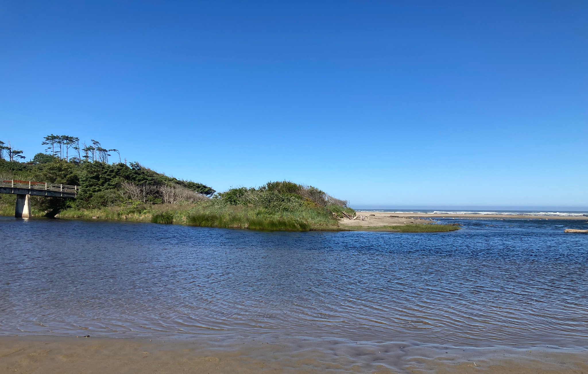
Corvallis-to-the-Sea Trail — Walk through wild Oregon
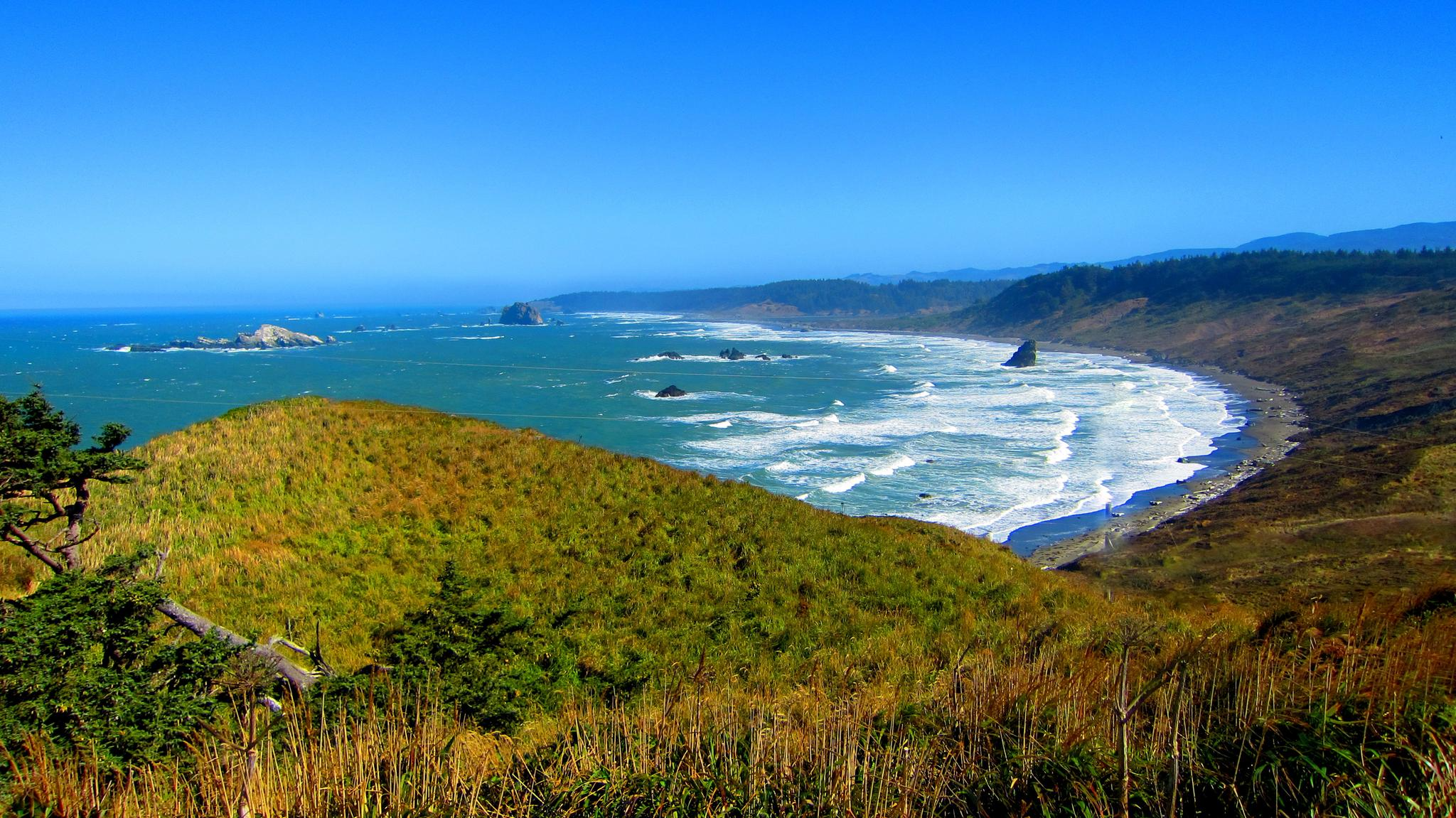
Oregon Coast Trail — An unforgettable walk along the Pacific's edge
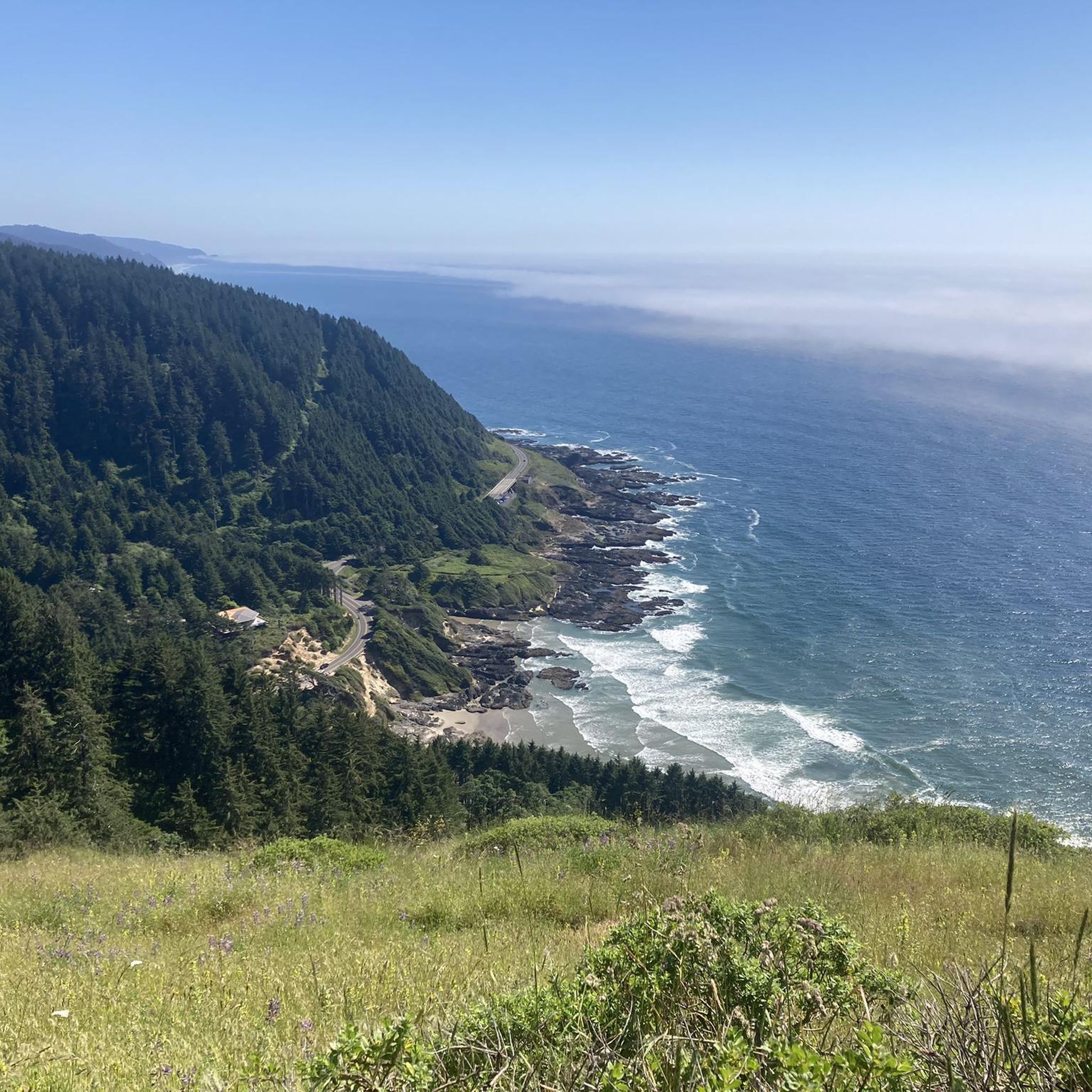
Running Trails in Siuslaw National Forest
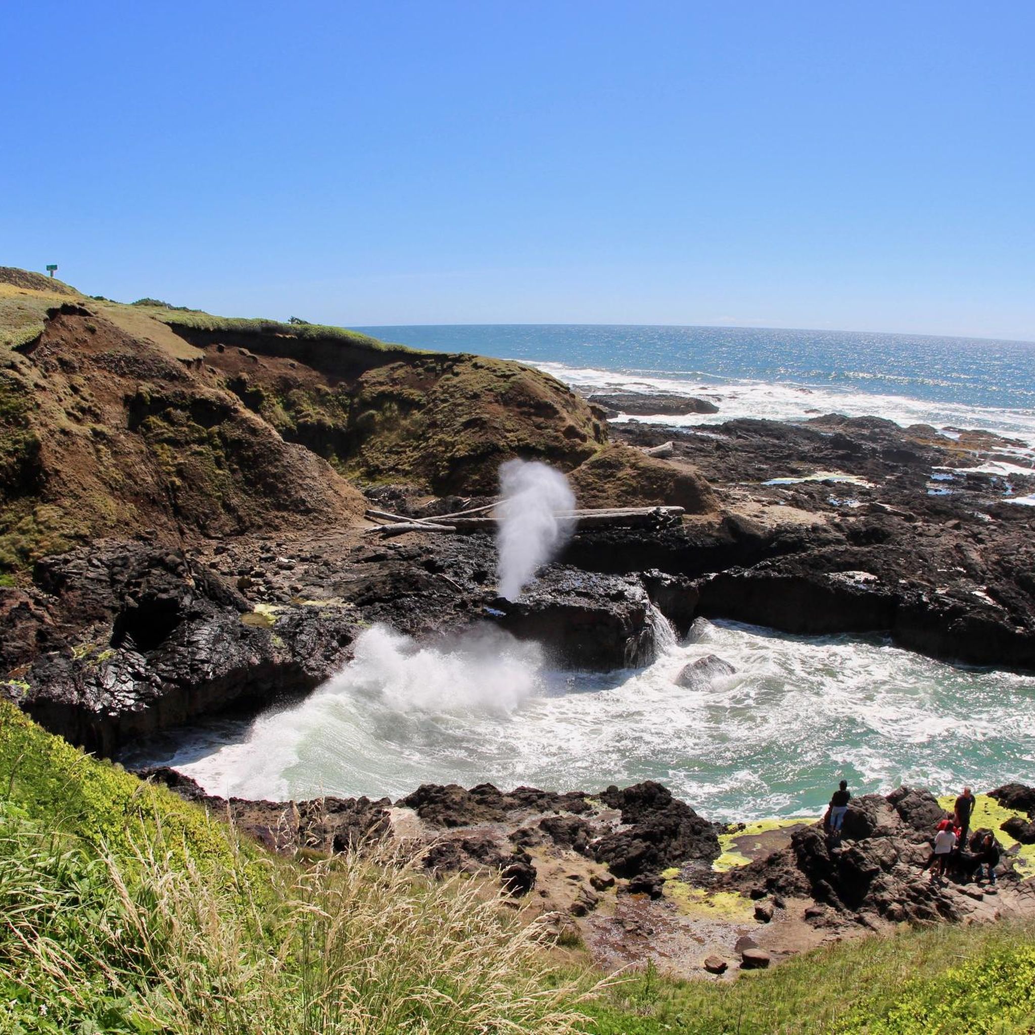
Cycling in Siuslaw National Forest
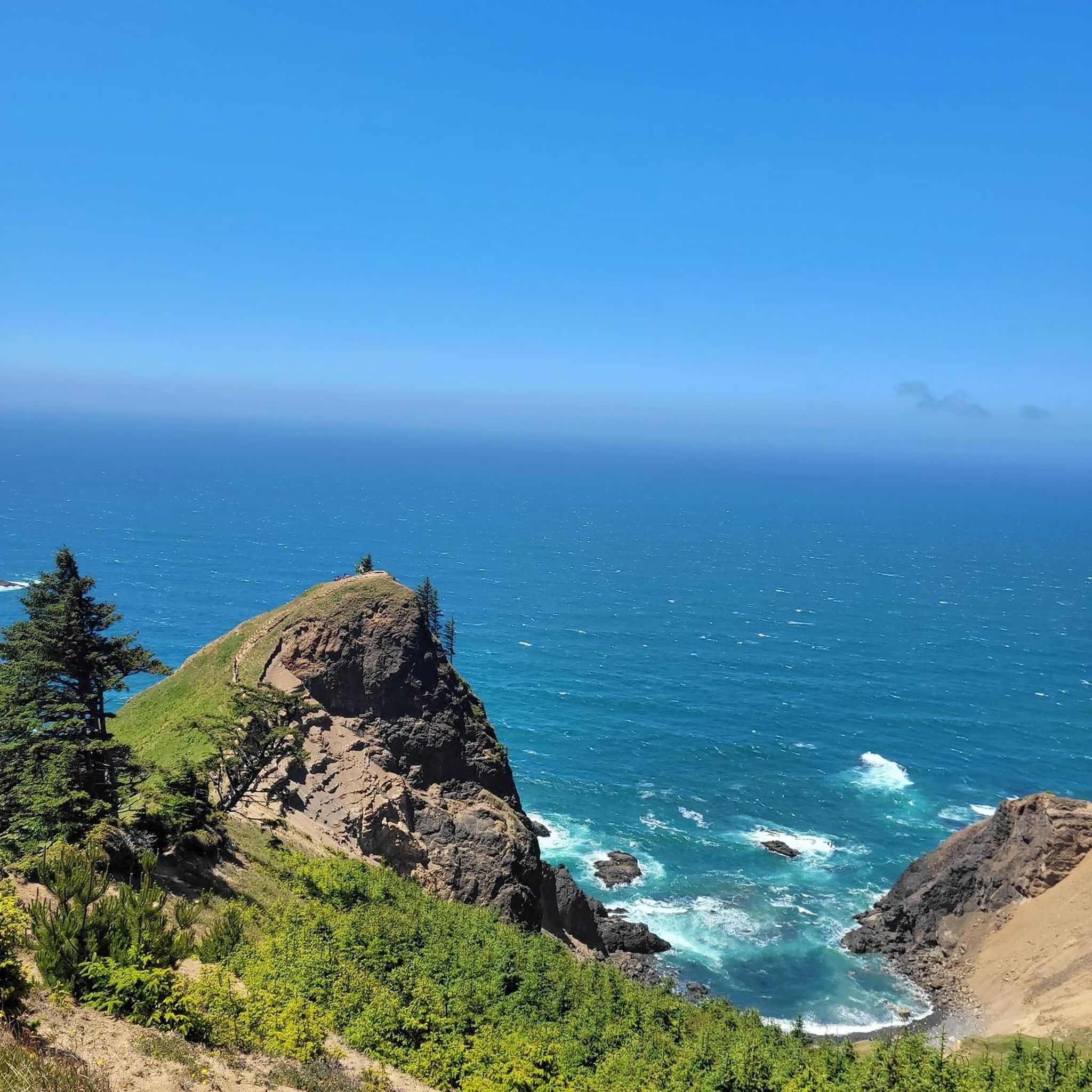
Road Cycling Routes in Siuslaw National Forest
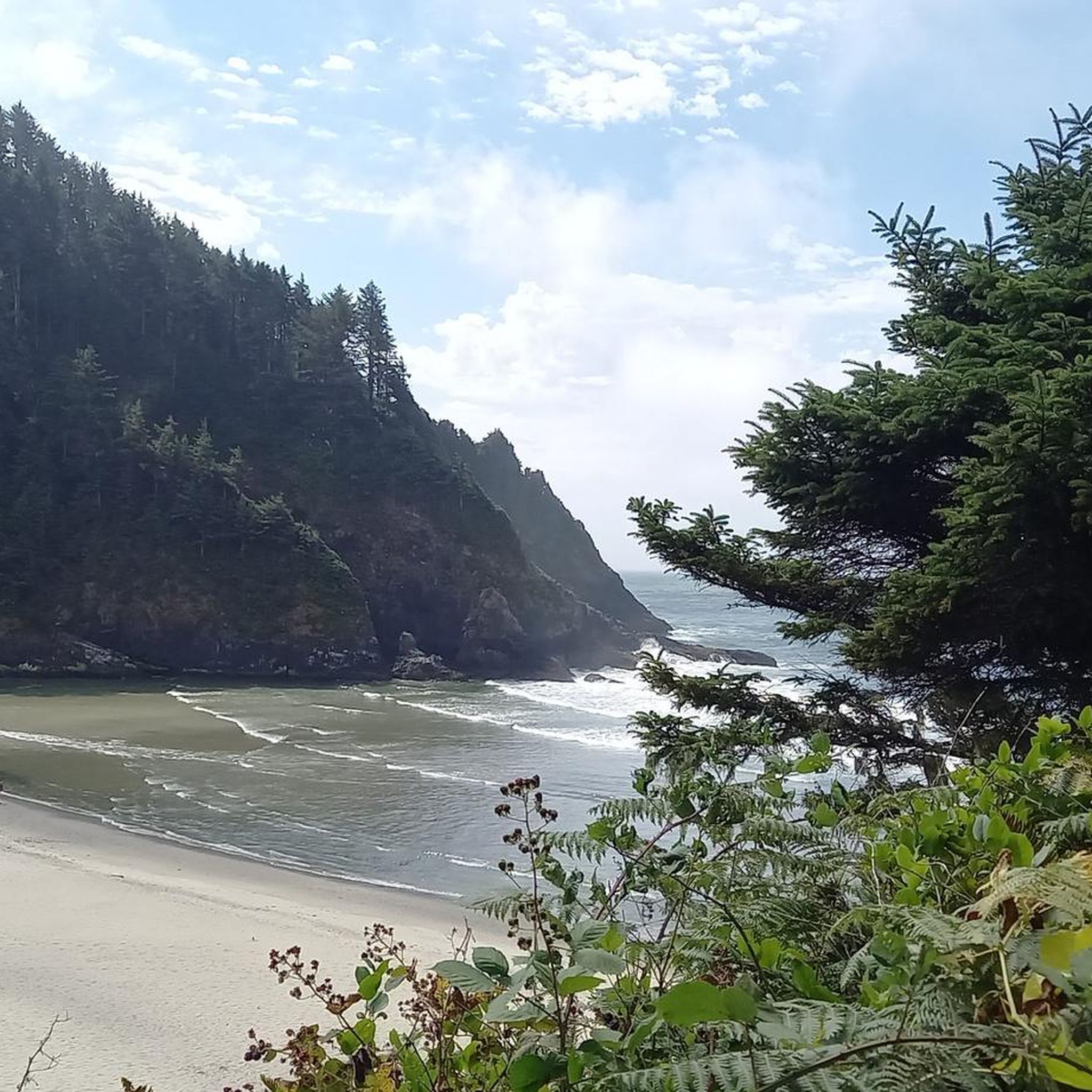
MTB Trails in Siuslaw National Forest

Gravel biking in Siuslaw National Forest
Other adventures in Siuslaw National Forest


Tips from the Community

Beautiful lookout that is probably the best view of the hike.
0
0

The Heceta Lighthouse B&B, in the Lightkeeper’s Home, is perched on a cliff, offering breathtaking views of the Pacific Ocean and the beach below. There are pathways that lead to both the beach and the lighthouse, great for an evening stroll. There are six rooms, all beautifully appointed, and in the morning, you can indulge in a delightful seven-course breakfast—a perfect way to begin your day exploring the stunning Oregon coastline.
0
0

A lovely little beach with a great view, crashing waves, and a creek emptying into the ocean. You can hike up to the lighthouse from this spot. There are also restrooms.
0
0
A gorgeous, magical trail leading to a beautiful beach - what is not to love? Part of the Oregon Coastal Trail; it's possible to create a longer hiking loop with the beach and Valley Trail through Carl G Washburne State Park.
2
0

This area was formerly known as Devil's Elbow State Park before the park was expanded to include the lighthouse. The park really packs in the highlights in a small area. You can hike to the lighthouse and do a free tour, the former keeper's house is now a B&B, the Cave Creek Bridge provides a nice backdrop to the beach and rocks in front of you.
0
1

The views are amazing if you take the trail to go a little higher and pass the actual light house.
0
0

Heceta Head Light is a lighthouse on the Oregon Coast. It is located at the Heceta Head Lighthouse State Scenic Viewpoint, a state park, halfway up a 205-foot (62 m) land drive. Built in 1894, the 55-foot (17 m) lighthouse shines a beam visible for 21 nautical miles (39 kilometers; 24 mi), making it the most powerful light on the Oregon Coast.
0
0
The Oregon Dunes Day Use Area is a great place to experience the ever-changing sand dunes. Enjoy beautiful views of the dunes and Pacific Ocean from wheelchair-accessible viewing platforms or hike through the dunes and coastal forest to the ocean.
1
0
Frequently Asked Questions
How many hiking trails are available in Siuslaw National Forest?
Siuslaw National Forest offers 39 hiking trails. These routes provide diverse experiences, from coastal paths to dense forest walks.
What are the difficulty levels of hiking trails in Siuslaw National Forest?
The trails in Siuslaw National Forest cater to various skill levels. There are 21 easy routes, 12 moderate routes, and 6 difficult routes, ensuring options for everyone from casual walkers to experienced hikers.
Are there any trails that feature waterfalls in Siuslaw National Forest?
Yes, several trails lead to or near waterfalls. A prominent example is the Drift Creek Falls via North Loop Trail, which takes you to a beautiful waterfall and a suspension bridge. Other notable waterfall highlights include Sweet Creek Falls and Pheasant Creek Falls.
Which trails offer scenic viewpoints or panoramic vistas?
Many trails in Siuslaw National Forest provide stunning views. The Cascade Head Trail offers expansive views of the Pacific Ocean and the Oregon coastline. Another excellent option is the St. Perpetua Scenic Viewpoint — Cape Perpetua, which leads to a breathtaking coastal overlook. You can also find great views from God's Thumb and Mount Hebo Summit Viewpoint.
Are there any trails suitable for families with children?
Yes, many of the 21 easy trails are suitable for families. The Drift Creek Falls via North Loop Trail is a popular easy option that leads to an impressive waterfall, making it an engaging experience for children.
What do other hikers enjoy most about hiking in Siuslaw National Forest?
The area is highly rated by the komoot community, with an average score of 4.8 stars from 69 reviews. Hikers often praise the diverse landscapes, from dense coastal forests to dramatic ocean bluffs, and the unique sand dunes. The variety of trails and scenic rewards like waterfalls and ocean views are frequently highlighted.
Are there any trails that explore the unique sand dunes of the region?
Yes, the Siuslaw National Forest includes parts of the Oregon Dunes National Recreation Area. The John Dellenback Dunes Trail is a moderate route that allows you to experience the unique landscape of the sand dunes.
Are there any coastal trails with ocean access or views?
Absolutely. The region is defined by its coastal proximity. The Cascade Head Trail and the St. Perpetua Scenic Viewpoint — Cape Perpetua both offer spectacular ocean views. For a dramatic coastal experience, consider the Cook's Chasm to Devil's Churn trail, which explores unique geological features along the coastline.
What kind of terrain can I expect on hikes in Siuslaw National Forest?
You can expect a wide variety of terrain. Trails often traverse dense coastal forests, open meadows, dramatic ocean bluffs, and unique sand dunes. Some routes follow river systems, while others climb to scenic viewpoints, offering a diverse hiking experience.
Are there any trails that lead to mountain peaks or summits?
While the region is known for its coastal features, there are opportunities to reach higher elevations. You can find trails leading to Marys Peak Summit and Cape Mountain, offering different perspectives of the landscape.
Most popular routes in Siuslaw National Forest
Most popular attractions in Siuslaw National Forest

Get inspired with the komoot mobile app


Explore more
Browse the best Hikes in other regions.
