The best walks and hikes in Ozark-St. Francis National Forest
4.7
(35)
698
hikers
61
hikes
Hiking in Ozark-St. Francis National Forest explores a landscape of hardwood forests, sandstone bluffs, and clear streams across more than 1 million acres in the Ozark Mountains. The region is characterized by its rugged terrain, including unique geological features like natural bridges, rock pedestals, and scenic bluffs. The extensive trail network follows river valleys, climbs to high ridges, and offers views from scenic overlooks.
Best hiking trails in Ozark-St. Francis National Forest
- The most popular hiking route is Whitaker Point…
Last updated: July 8, 2026
5.0
(4)
69
hikers
4.51km
01:21
150m
130m
The Yellow Rock Trail offers a delightful journey through the unique geology of the Ozarks, transitioning from rugged sections with massive boulders to serene cedar glades and dense forests. You'll…
10
hikers
7.92km
02:10
120m
130m
Embark on the North Rim, Mossback Ridge, and Greenfield Trails Loop, a moderate hike spanning 4.9 miles (7.9 km) with an elevation gain of 402 feet (123 metres). This route…

Sign up for free
6
hikers
6.26km
01:41
90m
70m
Embark on the White River Bluff Loop, an easy hike that guides you through a wooded landscape dotted with large rocks and boulders. You will find yourself overlooking the White…
3
hikers
1.57km
00:27
0m
120m
Embark on the Glory Hole Waterfall Trail for an easy hike through a lush forest, following Dismal Creek. This unique route covers 1.0 miles (1.6 km) with no elevation gain,…
2
hikers
7.68km
02:14
230m
170m
If you're seeking a hike that delivers on varied scenery and a good workout, the Ozark Highlands Trail: Indian Creek to Lick Branch is a solid choice. This moderate 4.8-mile…
Get access to more routes and recommendations from other explorers.
Sign up for free
Already have an account?
Our route recommendations are based on thousands of hikes, rides, and runs completed by other people on komoot.
Start today with a free account
Your next adventure awaits.
Login or Signup
Popular around Ozark-St. Francis National Forest
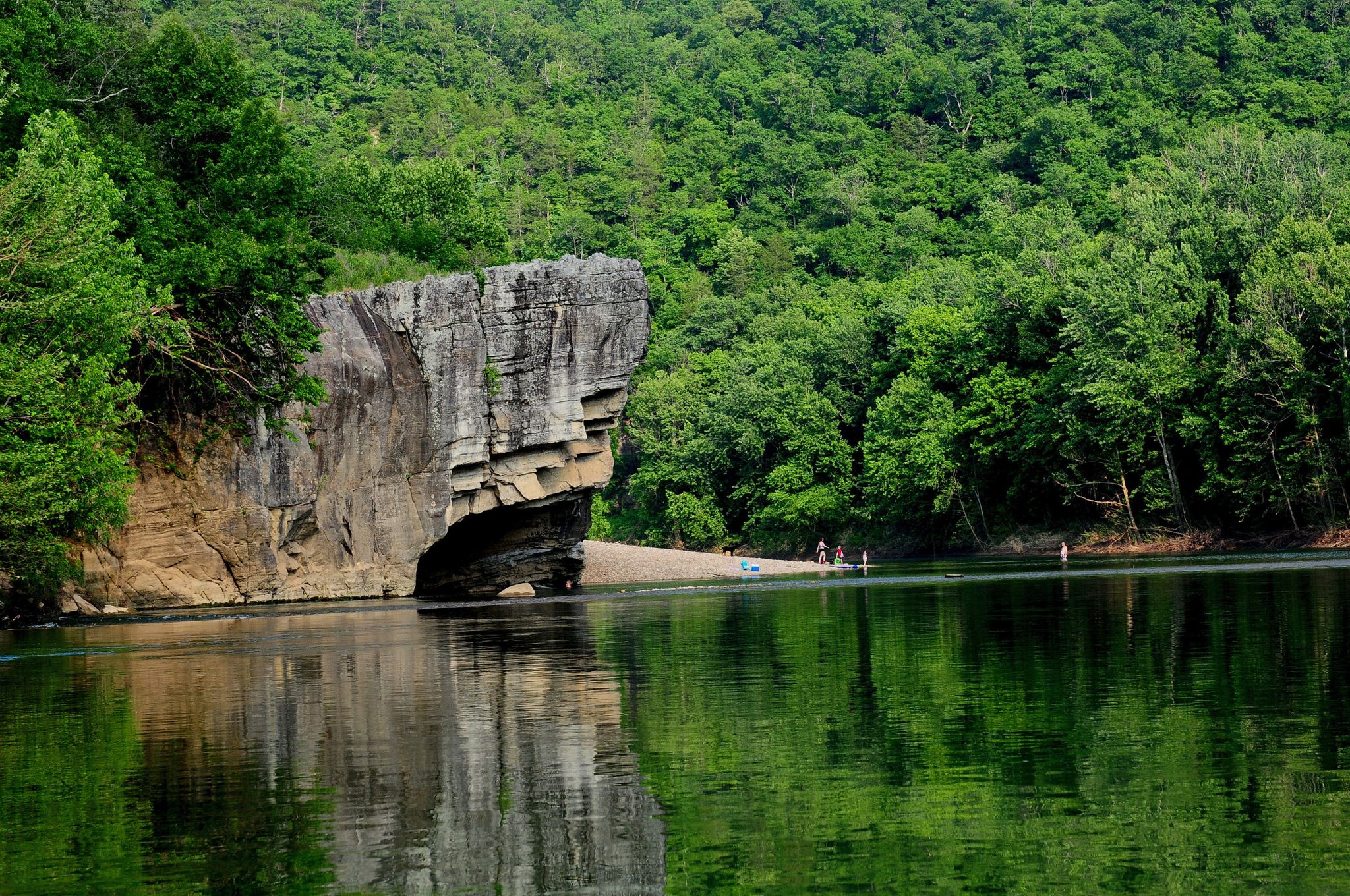
Ozark Highlands Trail: Falling Water Creek Trailhead to Dillard's Ferry — Hiking the Buffalo River corridor
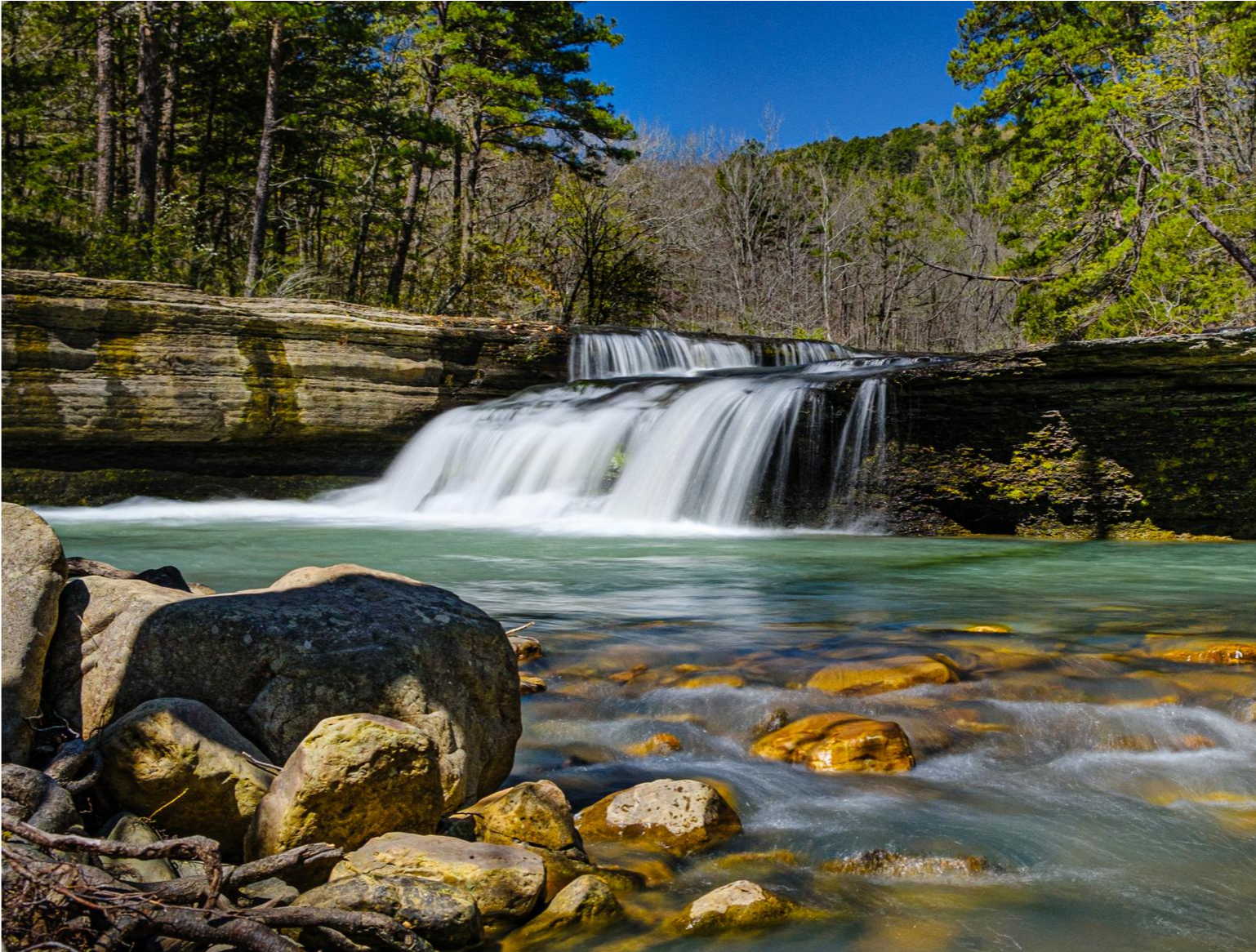
Ozark Highlands Trail — 200 miles of backcountry beauty
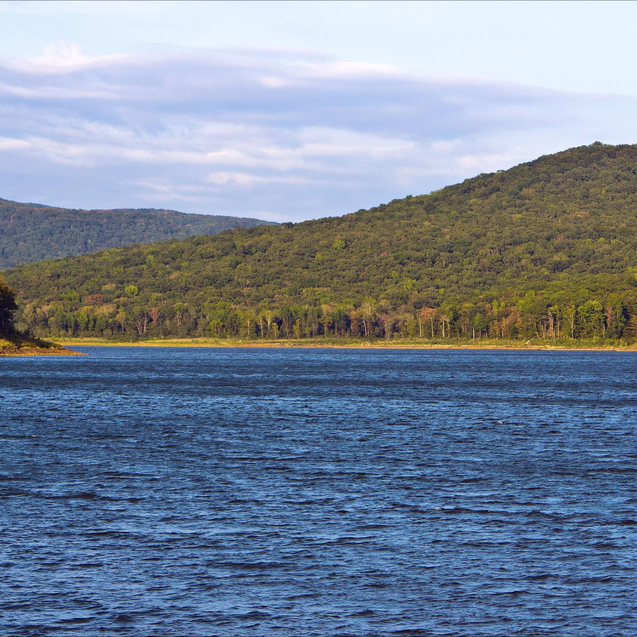
MTB Trails in Ozark-St. Francis National Forest
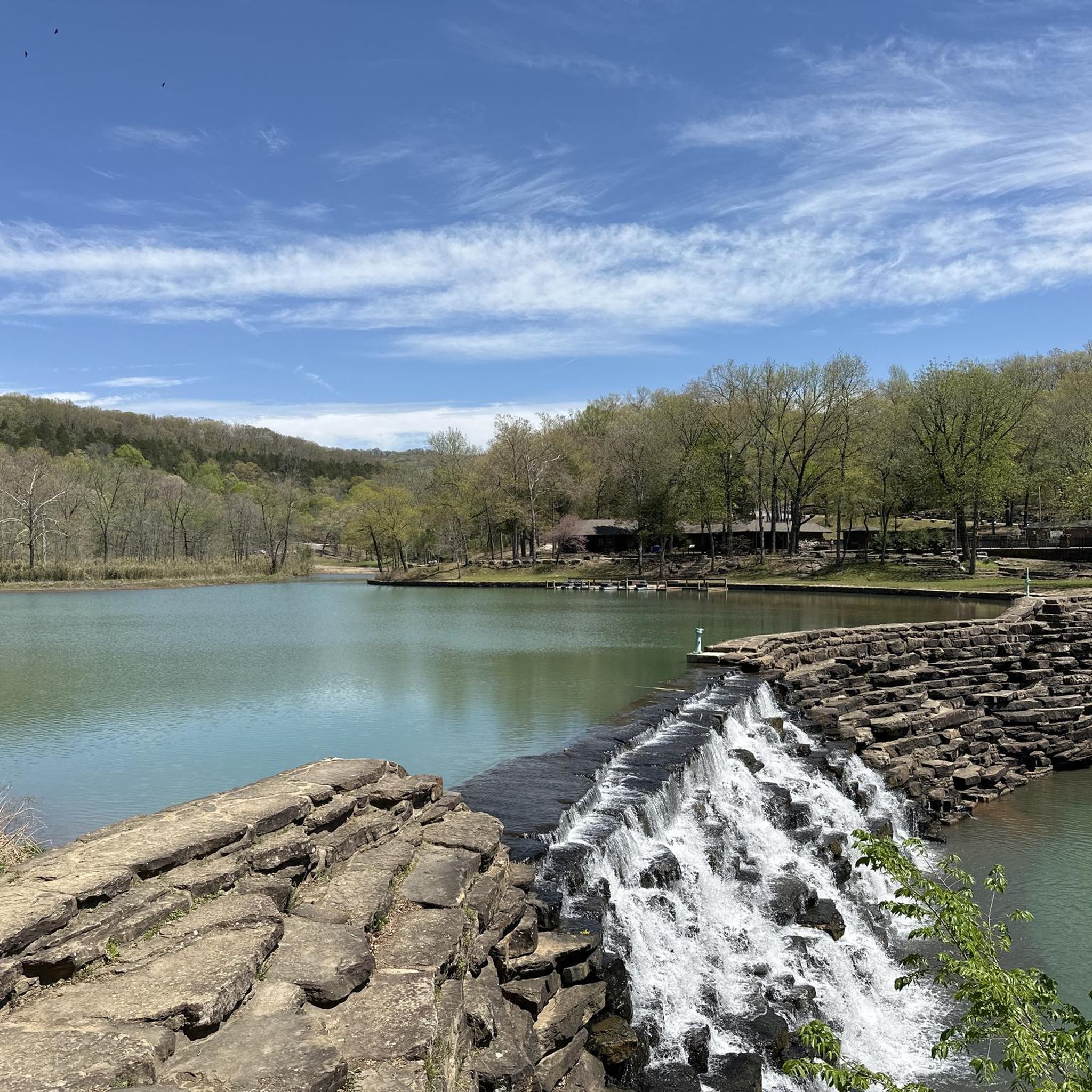
Cycling in Ozark-St. Francis National Forest
Road Cycling Routes in Ozark-St. Francis National Forest

Gravel biking in Ozark-St. Francis National Forest

Running Trails in Ozark-St. Francis National Forest
Other adventures in Ozark-St. Francis National Forest

Tips from the Community

This trailhead is a popular access point for the Ozark Highlands Trail (OHT) for both day and long-distance hikers. There is a small parking lot and an information kiosk with a map and trail register, and a small campsite, with space for a few tents, along with a large fire ring. There is no restroom or drinking water; however, the trailhead sits along the creek of the same name, which is one of many reliable water sources in the area.
0
0
This spur trail runs roughly 1 ½ miles south to reach the Mulberry River, a popular spot for paddling with beautiful views. Byrd’s Adventure Center sits right along the river and offers tent sites, cabins, and amenities for hikers looking to rest or resupply, including warm showers, a convenience store, and a restaurant. This spur is the perfect exit or resupply point for thru-hikers navigating the OHT’s midsection.
0
0

Historic shelter built by the Civilian Conservation Corps (CCC) in the 1930s. The shelter overlooks the scenic Lee Creek Valley.
0
0
Unique waterfall that flows through the ceiling of an overhanging cave.
0
0

From the White River Bluff Trailhead you can access the White River Bluff Loop and the Syllamo IMBA Epic trail, which is a great 50 mile singletrack loop.
0
0
Frequently Asked Questions
Are dogs allowed on trails in the Ozark-St. Francis National Forest?
Yes, dogs are generally welcome on the trails in the Ozark-St. Francis National Forest, but they must be kept on a leash and under your control at all times. It's also important to pack out any waste to help keep the forest clean for everyone.
What are some good, easy hikes for families?
The forest offers several family-friendly options. A great choice is the Devils Den Trail loop, which is a short and relatively flat walk of about 1.2 miles (2 km). It's an excellent way to introduce children to the unique rock formations and natural beauty of the area.
Are there any circular walks or loop trails available?
Yes, there are several enjoyable loop trails. For a hike with rewarding views, consider the Yellow Rock Trail loop. This 3.1-mile (5 km) path takes you to a scenic bluff overlooking the surrounding valleys, providing a complete circuit back to your starting point.
What do other hikers think of the trails in this area?
The trails in Ozark-St. Francis National Forest are highly regarded by the komoot community, holding an average rating of 4.6 out of 5 stars. Hikers frequently praise the stunning scenic overlooks, unique geological formations, and the immersive experience of walking through the dense hardwood forests.
How many hiking trails are in the Ozark-St. Francis National Forest?
You can explore over 30 curated hiking routes in the Ozark-St. Francis National Forest on komoot. These range from short, easy walks to more challenging multi-day treks, offering something for every skill level.
Are there any safety concerns like bears I should be aware of?
Yes, the Ozark-St. Francis National Forest is home to black bears. While encounters are uncommon, it's wise to be bear-aware. Store food securely, especially if camping, make noise while you hike to avoid surprising a bear, and never feed wildlife. Always check for current trail conditions and weather forecasts before you head out.
What is the best time of year to see waterfalls?
The best time to see the region's waterfalls in full flow is typically during the spring (March to May) when rainfall is more frequent. They can also be impressive after heavy rainstorms in other seasons, but may be reduced to a trickle during dry summer months.
Are there opportunities for long-distance backpacking?
Absolutely. The forest is famous for the Ozark Highlands Trail, a premier long-distance path that stretches for 165 miles through the region. It offers a challenging and rewarding experience for seasoned backpackers, taking them through some of the most remote and scenic parts of the Ozarks.
Can I get to the trailheads using public transport?
Due to the forest's rural and expansive nature, there is no public transportation that directly serves the trailheads. Accessing the hiking routes requires a private vehicle. Ensure you have reliable transportation and check road conditions, as some access roads may be unpaved.
Where can I find good parking for the trails?
Most of the established and popular trailheads, such as those for the Whitaker Point Trail or Pedestal Rocks, have designated parking areas. However, these can fill up quickly, especially on weekends and holidays. It's always a good idea to arrive early to secure a spot. For less-trafficked trails, parking may be limited to small pull-offs along forest roads.
What kind of unique geological features can I see while hiking?
The forest is renowned for its fascinating geology. You can hike to see impressive natural bridges like the one at Alum Cove, unique eroded sandstone columns on the Pedestal Rocks Trail, and dramatic bluffs and rock shelters throughout the park. These features offer a glimpse into the natural forces that have shaped the Ozark landscape.
Most popular routes in Ozark-St. Francis National Forest
Most popular attractions in Ozark-St. Francis National Forest

Get inspired with the komoot mobile app


Explore more
Browse the best Hikes in other regions.
